
Visitors to London who are also transport enthusiasts (‘railfans’) sometimes ask for advice as to the ‘best’ things to see on London’s railway network. Typically they mean the London Transport railways, or in other words the underground (subway, metro) and whilst the information below is primarily about that it also briefly looks at the wider railway scene within London. This is especially important as there are many instances of interworking and shared services with London's other railway systems - the main line railway (National Rail), the Docklands Light Railway and Croydon / London Tramlink.
This guide is primarily about present day services, so historical information is only included where it helps explain aspects of the transport network as it is today.
The UndergrounD railway uses trains of two distinctive sizes, these being the small profile ‘tube’ trains and the larger profile trains which are in fact very similar in size to trains used on the rest of the British railway system. The latter would be because when they first opened most of the routes served by the larger profile trains were originally served by steam locomotives hauling unpowered passenger carriages, so (apart from the extensive operations in tunnels) they were little different from the many other British railways.
 |
|
 |
|
 |
| London's underground trains come in two different sizes. A small profile 1973 'tube' stock Piccadilly line train passes a large profile subsurface S stock District line train at Stamford Brook station. |
|
The nickname "Tube" comes from the almost circular tube-like tunnels used by the small profile trains. A 1995 'tube' stock Northern line train exits a tunnel - as seen from Hendon Central station. |
|
The large profile 'subsurface' trains are the same size as main line (National Rail) trains. District line S stock and C2C Electrostar Class 357 trains pass at West Ham station. |
This is the single page version of this guide, and therefore this is a very BIG page!
Click here for a multi page version of this guide with much smaller pages.
Page Index
| Small Profile ‘Tube’ Trains |
| Bakerloo Line |
| Central Line |
| Jubilee Line |
| Northern Line |
| Piccadilly Line |
| Victoria Line |
| Waterloo & City Line |
|
National Rail Trains That Also Travel Through ‘Tube Train’ Tunnels |
| Northern City Line |
| Elizabeth Line (Crossrail Line 1) |
| Crossrail Line 2 |
| Large Profile ‘Subsurface’ Trains |
| Circle Line |
| District Line |
| East London Line |
| Hammersmith & City Line |
| Metropolitan Line |
Local Light Railways |
| Docklands Light Railway |
| Croydon / London Tramlink |
Other National Rail Trains |
| London Overground |
The Docklands Light Railway and Tramlink both use modern light rail vehicles. DLR trains are computerised / self-driving whilst the trams are driven by ordinary mortal humans.
Although not defined in the listing above DLR trains could also be seen as 'tube trains'. This is because there are several places where DLR trains travel deep underground in circular tunnels, as per the more well-known tube trains.
The East London and Northern City lines were ‘London Transport’ railway services but nowadays are operated as part of the main line (National Rail) ‘London Overground’ and ‘Great Northern’ networks. For many years both lines were included on Underground maps, but nowadays the Northern City line has been removed.
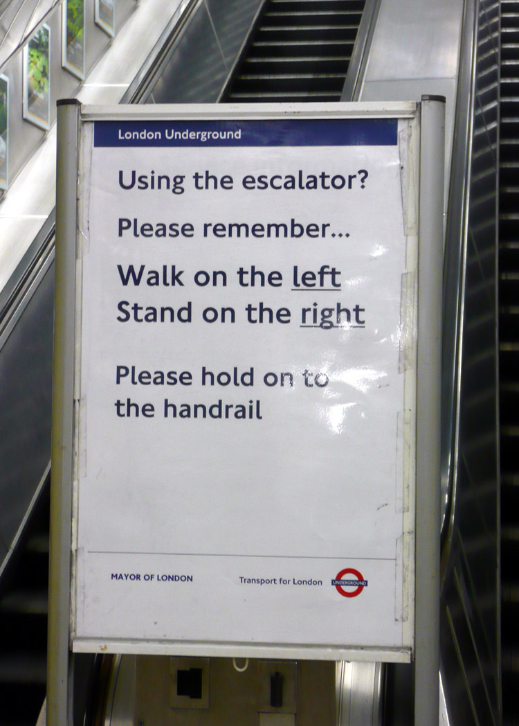
- which visitors are requested to follow.
As someone who usually walks I say "thank you" :-)
Please remember to hold the handrail: I do,
even when walking up / down the escalators!
Visitor Centres
Transport For London (TfL) have several visitor centres at busier stations that are frequented by visitors to London.
These offer advice on the best ticket types for travelling around London, how to use Oyster cards, travel options for passengers who have special needs, how to reach visitor attractions - both in London and elsewhere in the UK, the most suitable ways for individuals (with their luggage) to travel to London's airports, and more.
They also sell Oyster cards, top-ups of the Oyster card electronic purse plus offer advice on refunds.
The Visitor centres can be found at:
*Heathrow Airport terminals 2 & 3 Underground station,
*King's Cross St Pancras Underground station (for arriving Eurostar passengers),
*Liverpool Street Underground station,
*Piccadilly Circus Underground station,
*Victoria main line station (opposite platform 8).
These are usually open 09:00 - 16:30 (9am - 4:30pm) but only some days of the week.
This link explains more:
https://tfl.gov.uk/travel-information/visiting-london/getting-around-london/visitor-centres 
Victorian-era (pre-1901) to present-day 'space age' organic shapes that defy description.
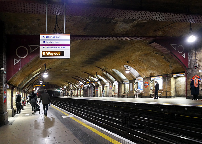
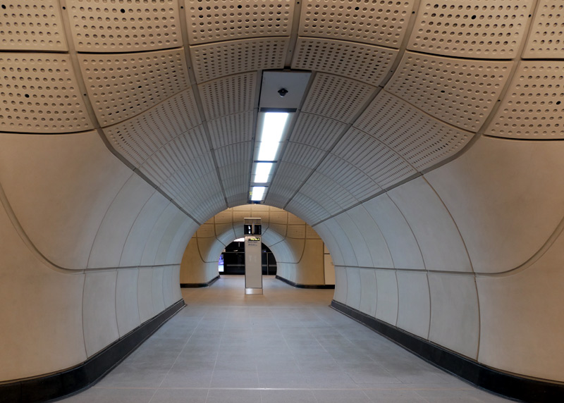
original Metropolitan Railway which opened in 1863.
The black soot on the tunnel roof comes from the 150 year celebrations in 2013 when a real steam train passed through these tunnels!!
cross passage between the platforms.
Fares and Tickets
London's railway fares are based on a zonal system, most of the information in this guide is about sights in zones 1-4 which covers the centre of London and much of the suburbs.
There are several ways to pay transport fares in London. Especially on the London Underground, Docklands Light Railway, London Overground and Elizabeth line buying paper tickets from the station at the start of the journey is the most expensive way to pay fares. But if you will only be travelling a little and just want to sample London's transports in the simplest way possible without worrying about ticket types or something going wrong which leaves you being charged more than expected, then this might be the easiest solution.
Cash cannot be used to pay a bus or Tramlink tram fare when boarding the vehicle, nor to buy tickets at the bus / tram stop - you must pay in a different way, as detailed below.
Since 2003 it has also been possible to pay transport fares using smart cards.
London's smart card is marketed as the Oyster card.
Depending on the type of Oyster card it can store a maximum of three prepaid season tickets plus some cash value in what is called an electronic purse (e-purse). Nowadays using the e-purse is known as Pay As You Go (PAYG) although sometimes you may see an old sign which refers to PrePay§.
Although Oyster cards have to be purchased the fares charged are usually significantly cheaper than the cost of paper tickets.
§The name PrePay is very accurate for smart cards which have an e-purse because the act of adding monetary value to the e-purse effectively means that the funds are given to the transport company in advance of travelling. This is in contrast with the Contactless bank card (or other device) system whereby a bank or credit card account is charged after the journey (at the end of the same day).
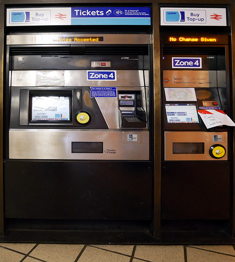
London Underground self-service ticket machines.
Some machines also sell Oyster cards.
Depending on value the refund might be in cash or it might be by cheque.
People who live in the UK can also use their UK bank account to buy Oyster cards via the online TfL contactless and Oyster account.
An anonymous Oyster card can be shared with anyone - although only one person can use it at a time. Being anonymous means that your name and address is not recorded.
If you wish an Oyster card can be registered with the user's name. An Oyster card which has been registered can accept the full range of tickets, including annual Travelcard season tickets, but it can only be used by the registered card holder. If lost or stolen the card can be cancelled and the tickets plus e-purse financial value transferred to a replacement.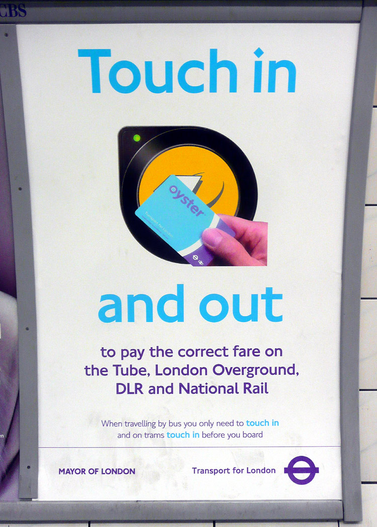
Poster reminding passengers using RFID
Oyster cards to tell the ticketing system's
computers where they are by touching in / out
every time they enter or leave a station.
It is also possible to buy a Visitor Oyster card before arriving in London.
These are sold at the Transport For London (TfL) online shop, on Eurostar trains travelling towards London, sometimes even on aircraft
flying towards London. Visitor Oyster cards are sold with some e-purse value so that they are ready to use. This is especially useful when arriving at airports / St Pancras Eurostar as it
means that you can avoid the ticket office queues and walk straight to the railway station platforms. Visitor Oyster cards have decorative designs which make for a nice souvenir of your visit. Plus you should be able to use them again on your
next visit to London! If returned for a refund only the e-purse value is refunded. Not the card fee.
Extra money can be added to the Oyster card e-purse at almost all railway stations in London (often only at the self-service ticket machines), TfL Visitor centres, the Tramlink shop in Croydon, via the TfL app, the online TfL contactless and Oyster account website and at over 3700 local shops throughout the London area.
Adding extra money to the Oyster card e-purse is known as a top-up.
No matter whether you are using cash or a plastic card there are no additional or handling fees for a top-up - so if a retail shop wants extra money then you should refuse to pay and complain to the Oyster helpline.
Please note that because of the high fees charged by the banks some retailers will refuse low-value top-ups if they are paid using a plastic card. This is fair. because otherwise the bank fees will cost the retailer more than they earn. However there should be no problem for low-value cash transactions.
Unlike Hong Kong, Singapore and other Asian cities, London's Oyster cards are only used for paying public transport fares - and not for general shopping.
In London many visitor destinations and some restaurants offer discounts to passengers who have Visitor Oyster cards. It is always good to ask!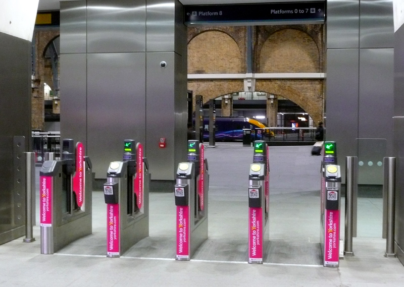
If using Oyster / Contactless PAYG to pay your
travel fares then you must always touch-in/out
when starting or ending a journey - even if
(as here) the ticket gates are open.
Filmed late at night at King Cross station.
When first introduced Visitor Oyster cards were advertised as never expiring, so that they could be used again and again on future visits to London. However, it is possible that some older types of Oyster cards will expire when the computer technology used by the PAYG ticketing system is changed. Only the Oyster cards which use older and less secure transaction protocols, such as MIFARE Classic, are expected to expire. Of course it will be possible to transfer the e-purse value to a replacement card. Oyster cards with a white letter D in a blue square on their backs will still work for years to come - these use a newer and more secure transaction technology called MIFARE Desfire. This applies to both ordinary and Visitor Oyster cards.
There is one significant disadvantage to buying a Visitor Oyster card. It is not possible to add weekly (or longer) season tickets to them. This only matters however if you are staying in London for more than a few days and wanted to buy a 'buy once - travel at will' season ticket. For this option you must buy an ordinary Oyster card.
Personal Security / Every Journey Data Tracking
If anonymous Oyster cards (and Visitor Oyster cards) are bought using cash and always have financial value added using cash then they are suitable for passengers who do not want their every movement tracked 24/7.
However it is also worth remembering that in London CCTV cameras are everywhere, and that some of these are connected to computers which detect people's activity and use facial recognition softwares.
Other Smart Card Fares Payment Options
Both Londoners and visitors from elsewhere in the UK can also pay their fares using EMV (EuroPay, MasterCard, Visa)¤ Contactless RFID credit and debit cards
and some smartphone apps. The fares are normally the same as with Oyster cards, although on days when many journeys are made the total fare charged sometimes works out as being slightly cheaper than Oyster cards!
All travel fares are charged to the credit / debit card accounts as a single transaction, overnight.
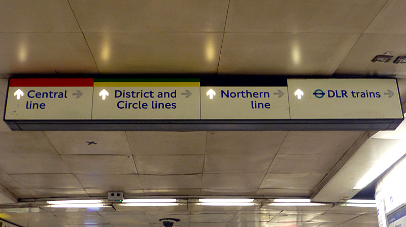
Illuminated wayfinding signage at Bank station, which
is at the heart of London's primary financial district.
Walking routes vary 'as required', especially as
part of the station is closed at weekends.
Some people from outside London may also have ITSO specification smart cards on which it might also be possible to load prepaid Travelcard season tickets that can be used within London, eg: The Key which is a ticketing solution from one of the major British transport operators. ITSO card holders need to investigate compatibility and acceptability before travelling - especially as whilst the ITSO specification includes electronic purses (for PAYG travel) these may be restricted to local geographic areas outside of London.
|
Electronic Ticketing Terminology
This website uses the word "Contactless" to refer to all forms of RFID / NFC / EMV bank debit / credit cards, smart phone apps, etc. |
In London each passenger must have their own payment card!
When using cards from bank / credit card accounts which are shared between several people (eg: a married couple) it is important that the long numbers (typically with 16 digits) and / or expiry dates are different. Otherwise only one passenger can use a card linked to that card account and the other passenger must use a card from a different account - or use an Oyster card.
Visitors from overseas will probably also be able to use Contactless bank cards and smart phone apps but should expect their bank to treat the transport fares as an overseas payment and charge currency conversion and overseas transaction fees.
There is a long term desire to encourage as many travellers as possible to use Contactless payment systems (especially EMV bank cards) instead of Oyster cards.Therefore Oyster is expected to remain for many years to come. As anonymous bank cards do not exist so it is easy for Contactless payments to include every person's travels to be tracked and recorded, in the process creating a massive database for commercial companies to exploit.
These links to other websites may also be of interest:
http://www.londontoolkit.com/briefing/travelcard_oyster.htm
http://www.oyster-rail.org.uk
https://tfl.gov.uk/fares/ The official TfL website which includes all ticketing types
https://tfl.gov.uk/fares/how-to-pay-and-where-to-buy-tickets-and-oyster/buying-tickets-and-oyster/buying-tickets-from-abroad
TfL website page which lists where to buy paper tickets and Oyster cards in many overseas countries .
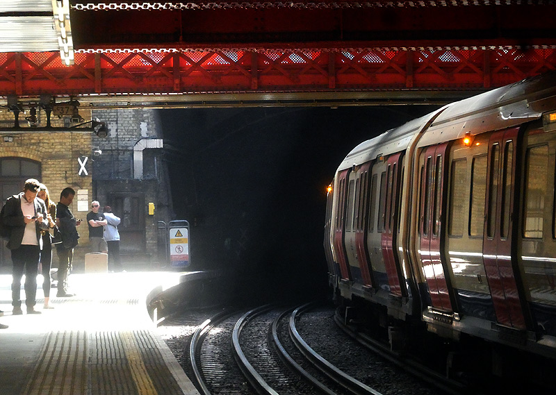
Sunshine beams down on the District & Circle line platforms
at Paddington. This is a subsurface S stock train.
Daily fares capping means that after a certain amount of travel fares have been spent on that day all future travel is free, although you must still continue to use card readers - at the start of bus and tram journeys and at both ends of train journeys. Sometimes you will also need to use a card reader during the journey - see below.
In London daily fares capping is based upon a 'touch-in' to start a journey after 04:30 am and a 'touch-in' to start a journey before 04:29 am the next day. This makes it possible for people who have been travelling on public transport during the day to stay up late at night and still benefit from fares capping when they return home (or to their hotel).
The cost of capped fares depends on the zones travelled in and sometimes also the time of day the smart card is used to touch-in. For journeys wholly within fares zones 1 - 6 the maximum daily cap is called Daily
Anytime and there is no off-peak discount.
Journeys which involve zones 7 - 9 have two daily caps - Daily Anytime and Daily Off-Peak. Daily Anytime caps are more expensive but they are only charged if you touch-in at a railway station in the morning
rush hour, Monday - Friday. Daily Off-peak caps are charged if you touch-in at any other time, and all day at weekends and bank holidays.
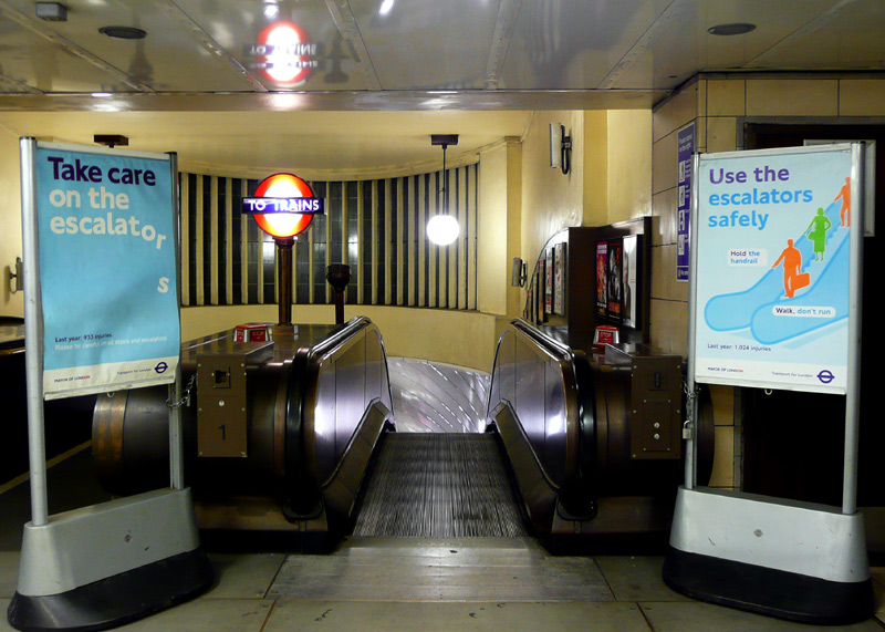
The escalator down to the trains at St Johns Wood
Jubilee line tube station, which is close to the
Abbey Road music recording studio and zebra
crossing made famous by the Beatles pop music group.
Fares Capping always includes Central London Zone 1 so if you do not need to travel in Zone 1 then (depending on zone combinations) it will usually work out cheaper to buy a weekly ticket if you are travelling for 4 (four) or more days
Most Fares Vary According To The Time The Journey Starts
With PAYG the cost of individual single fares depends on the time (and sometimes the direction) of your journey.
Fares are higher on Monday - Friday during the morning and evening busy periods. 'Rush hour' (also known as 'peak') fares are charged if you 'touch-in' at the start of a journey between 06:30 am and 09:30 am (even if the train leaves the station after this time) and between 4pm - 7pm (16:00 - 19:00). However, if you make enough journeys during on that day to reach the fares cap then this will not matter.
At weekends and on bank / public holidays off-peak fares and off-peak fare caps apply all day.
Most fares to and from Heathrow Airport are charged at peak rates all day (see below for more information ).
Some Fares Vary According To The Direction Of Travel
To encourage people to travel to central London (for shopping, to visit theatres, restaurants, etc.,) evening peak fares are not charged on journeys which start at a station
in zones 2 - 9 and ends at a station in Central London zone 1. Unfortunately this concession does not apply if the journey starts at a Zones 1 and 2 boundary station.
A special situation applies to passengers travelling on the London Overground (Lioness line) between Euston (National Rail / main line station) and Watford Junction.
Monday - Friday peak fares only apply on southbound journeys from Watford Junction station (towards Euston) in the mornings (06:30 - 09.30) and for northbound journeys towards Watford Junction in the
afternoons (4pm - 7pm / 16:00 - 19:00). Off-peak fares are charged all day on public / bank holidays and at weekends.
Oyster Card / Contactless Pink 'Route Validators'
Mostly the cheaper journey will have been made avoiding Central London Zone 1 but there are also some outer suburban journeys where different routes pass through different zone combinations and to charge for the correct fare the ticketing system needs to be told which route the passenger travelled. To encourage passengers to use pink route validators the default route will be the most expensive option.
Who Needs To Use Pink Oyster Card / Contactless 'Route Validators'?
Passengers paying their fares using PAYG on Oyster and other Contactless smart cards.
Passengers using a season ticket Travelcard (on an Oyster card) which does NOT include Zone 1.
Passengers making combination journeys using a prepaid season ticket Travelcard (on an Oyster).
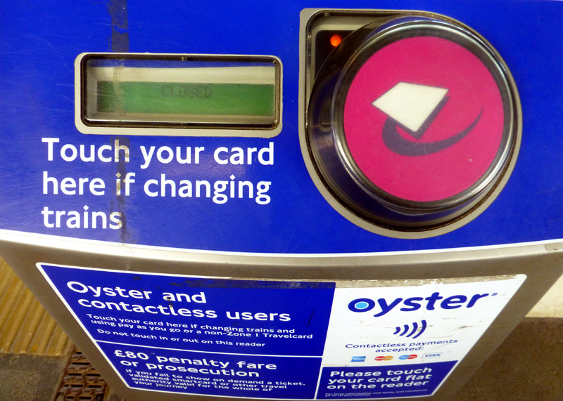
Pink 'Route Validator' Oyster / Contactless card reader.
Unfortunately for some journeys the system automatically assumes that you travelled via Zone 1 (and charges accordingly) no matter what route you actually chose to travel.
Beware London Overground (East London / Windrush line) Shoreditch station - this is in Zone 1. Many passengers do not realise this and find themselves having to pay more than they had expected.
Smart Card Reality
The RFID electronic cards used by London's Oyster / Contactless electronic ticketing system plus the ITSO compatible cards used outside of London may often be called smart cards,
but in reality they are very dumb. This is because they rely on error-prone humans to let the fares calculation system know where the passengers are at the start and end of each journey,
plus at interchange locations if they are eligible for cheaper fares.
Maybe one-day there will be no need to have card 'read' at each end of the journey (plus at interchange stations) as the fares system will simply scan people as they walk about... But do people really want to live in a society with a level of electronic surveillance which would mean that their movements are tracked 24/7, no matter where they are?
The Best Ticket For Railfanning
If you are going to spend a whole day railfanning then although they are more expensive I recommend using paper One Day Travelcard (ODTC) tickets. These can be used on almost ALL of London's trains (except Heathrow Express or the SouthEastern High Speed service between St Pancras and Stratford International) as well as most of London's buses and trams and once you have your paper ticket you are completely free to travel wherever you wish (within the zones in which it is valid) safe in the knowledge that you will not be forced into paying anything extra. The advantage of using paper tickets is that there are no time limits on how long your journey takes - so you can stop at stations and watch trains without also watching the time.
For some fares zones ODTC tickets cost the same no matter what time of day you travel. These are called 'Day Anytime'.
Other fares zones have two different prices with Day Anytime being more expensive
and 'Day Off-Peak' being cheaper. Passengers with Day Off-Peak ODTC tickets are not allowed to travel in the rush hour on Monday - Friday mornings. For most stations this means not before 09:30 am but at
some stations outside of London the rules are different. Off-Peak ODTC tickets can be used in the evening rush hours.
At weekends and bank / public holidays Day Off-Peak ODTC tickets can be used all day.
One Day Travelcard (ODTC) tickets are only available as paper tickets. These can be bought at most railway station ticket offices / ticket machines etc., and Visitor centres. Some ticket machines only sell them for travel 'today' or 'tomorrow' but at stations with proper ticket offices they can be bought a few days in advance of travel. ODTC tickets can NOT be bought at Oyster Ticket Stops (local shops). Note that in London tickets expire at 04:29 am the next morning - this allows you to use night buses as well.
DANGER! Beware Electronic Ticketing Journey Time Limits
Be VERY careful with the ‘pay as you go’ (PAYG) ticketing system. PAYG is advertised as being ideal for all passengers with the promise that providing you always 'touch-in/out' correctly when starting or ending your journey the total fares charged for that day will be 'capped' below the cost of a paper ticket (known as 'fares capping').
However, for railfanning there is a problem; PAYG enforces time limits on journeys, so if you keep stopping to watch trains and as a result the time between touching-in when you enter the 'fares paid area' and touching-out when you leave the 'fares paid area' is more than the maximum allowed journey time limit you could be charged two maximum PAYG fares - even if you have already reached the 'fares cap' for that day.
A single maximum fare in zones 1-9 can be as much as £9.40
For a journey outside zone 9 (or on the Heathow Express) a maximum fare can be as much as £26!
Because of this people on a limited budget without any spare cash may find themselves stranded somewhere in suburban London and unable to afford to get back to their hotel. This nearly happened to me (once!*) so I am speaking from the voice of experience.
| *This happened the first time I used the Oyster fares capping system instead of buying a paper One-Day Travelcard ticket.
I went out with my Oyster card plus just £10 in cash - as I was not going shopping I left my plastic bank cards at home! When I arrived at Uxbridge station I discovered that my journey had taken too long and I was being charged a maximum fare. The only way to solve this was to use the cash that I had intended for buying lunch to feed (add value / top-up) my Oyster card. |
If charged a maximum fare you should wait 48 hours before asking for a refund as sometimes the ticketing system will make an automatic refund.
Oyster card refunds are made the next time the Oyster card is used to touch-in for a rail journey
For contactless a refund will either show on the card statement or the fares charged for a subsequent journey will be adjusted.
No more than three (3) maximum fare refunds will be paid in one calendar month.
If you do not receive an automated refund then you have 8 weeks to claim (ask for) a refund.
No Single Day Oyster Pay Once Ride-At-Will Tickets
Even though this option is available elsewhere in the UK (eg: the Glasgow, Scotland Subway) as well as in many overseas cities, the people who decide London's fares have said that single-day Oyster smart card Travelcards are 'not possible' ‡ and that even if it was possible they do not want public transport passengers in London to buy electronic ticketing variants of either the Peak or Off-Peak Day Travelcard. They prefer PrePay / PAYG with fares capping, citing the ability to change one's journey at a whim without having to buy a new ticket as representing some kind of 'holy grail' that makes everything good.
‡This was in circa 2003, when the Oyster system was first introduced.
Some Londoners Avoid PAYG Ticketing - No Problems With Weekly / Other Period Oyster Tickets
There are some people here in London who dislike using PAYG electronic ticketing on the railways (buses / trams are OK). This is because they feel that there are too many problems with failed card reads (touch-in / out) that result in the system invoking maximum fares - which they see as being charged a penalty fare - even though they have done nothing wrong.
These issues do not usually cause problems to passengers with weekly or longer Travelcard period tickets that are loaded on Oyster cards - and who are only travelling within the correct fares zones for their ticket.
Staying For Several (Or More) Days?
Providing you stay within the zones of the ticket's validity there are no journey time limits.
Note that Travelcard season tickets can only be loaded on ordinary
Oyster cards and some types of National Rail ITSO compliant smartcards. They can NOT be loaded on to Visitor Oyster cards or used with any type of Contactless (bank card / smartphone, etc) payment system.
If you need to travel in Central London Zone 1 then you need to reach the Day Anytime fares cap for five (5) consecutive days before it becomes cheaper to buy a 7 Day Anytime Travelcard season ticket.
Fares Capping always includes Central London Zone 1 so if you do not need to travel in Zone 1 then depending on how many zones you need to travel in it could work out cheaper to buy a weekly Travelcard ticket if you are travelling for just four (4) consecutive days.
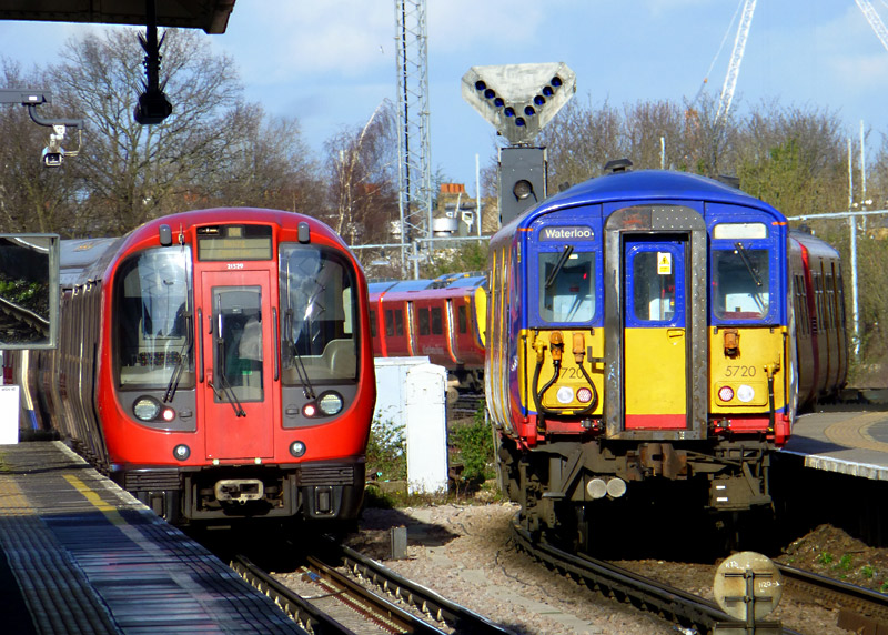
London Underground S7 District line and South Western Railway Class 455 trains side-by-side as they depart from Wimbledon station.
If you also load some PAYG value on the Oyster card and remember to 'touch-in / out' at both ends of your journey then you are also allowed to travel outside the zones of the ticket's validity. Any extra charges are automatically collected when touching out at the end of that specific journey - but beware of journey time limits.
Note that most 'National Rail' train operators require that passengers with season tickets (even if only for one week) also have a photocard. These are free to obtain and just require a passport type photograph.
BritRail / Eurail Pass? National Rail Railcard?
Overseas visitors with BritRail / Eurail passes should check their documentation as it is likely that they will need to buy additional tickets for travelling on the London Underground / DLR / Tramlink.However these passes are accepted on London's suburban trains - including the London Overground and Elizabeth line, which are also 'main line' / National Rail train services.
There could be a grey area where Underground and main line trains provide shared services - it may be best to only travel on the main line train, so that even if the Underground train comes first (and is travelling on the same tracks) you stay on the platform / wait for the main line train.
Holders of National Rail / main line railway railcards may find that they can benefit from cheaper tickets - a lot depends on the type of card they have. Sometimes the discount can be 'loaded' on to an Oyster card that is registered it in your name, as then the discount is automatically applied. Sometimes it is also possible to buy discounted one day Travelcards - although often on weekdays there is a minimum charge which negates the benefit. The documentation will explain more.
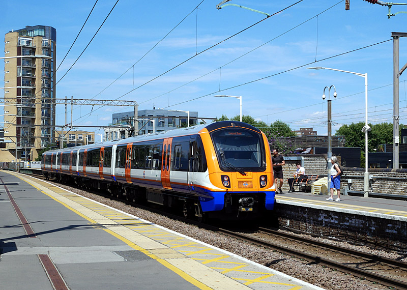
The BritRail / Eurail Pass and All Line Rail Rover tickets
can be used on 'main line' (National Rail) suburban
trains in London - this includes the London Overground
and Elizabeth lines.
Class 710 London Overground (Weaver line) train
travelling towards London Liverpool Street arrives
at London Fields station.
All Line Rover?
All Line Rovers are effectively National Rail season tickets which can be used on almost any train on the main line railway system. This includes London Overground, Elizabeth line and virtually all of London's suburban railway network. However, they are NOT accepted on the Underground / DLR / Tramlink, as these are not part of the main line / National rail network. They are also not accepted on the privately funded Heathrow Express.
All Line Rovers can be bought by anyone, whether a British resident or otherwise. They are available in 7 and 14 days versions. The various private companies which operate the national railway network do not like this ticket because they say that they do not receive enough money from it. Therefore it is hardly ever promoted and can sometimes be difficult to purchase.
Unfortunately there are some restrictions prohibiting their use to board or alight from trains at 10 railway stations - including several in or near London - before 10:00 in the morning on weekdays (Monday - Friday). However this does not apply at weekends or on bank / public holidays.
More information can be found at this link:
http://www.railrover.org/pages/all-line.html
This link which leads to information on all the British railway rover tickets by main line / National Rail companies:
http://www.nationalrail.co.uk/times_fares/rangers_and_rovers.aspx
2FOR1 Visitor Attraction Entry Discounts
This offer is also available to people who have paper One Day Travelcards BUT these MUST be bought at a National Rail / main line railway station and NOT at an Underground / DLR / Tramlink station or ticket machine. Eurostar tickets, Eurail passes, Heathrow Express, Oyster or other Contactless (ie: bank cards etc.,) are also NOT accepted for this offer.
BEWARE: Some transport staff do not understand the significance of where the ticket is bought - you want a ticket which is orange and cream with the National Rail logo (the two half arrows pointing in opposite directions). See the photograph on the right.NB: the 2FOR1 offer can even be used by people who live in London, but they must have the 'right' type of ticket!

The 2for1 offer can only be used if passengers have
paper tickets for travel to / within London which
look like this platform ticket.
Image & license: Ansbaradigeidfran / Wikipedia encyclopædia.
CC BY-SA 3.0 http://commons.wikimedia.org/wiki/
File:National_Rail_platfrom_ticket_Kings_Cross.jpg
These links explain more, and you can also download the special vouchers you will need from here:
https://www.daysoutguide.co.uk
https://www.daysoutguide.co.uk/travel-by-train/is-my-ticket-valid-for-2for1-and-other-offers
Smart Card And Other (Often Cheaper) Ticketing When Travelling To / From London's Airports
Heathrow Airport: As this airport is in London Oyster cards and other Contactless ticketing systems can be used on the Piccadilly and Elizabeth lines. Note that Day Anytime fares are charged at all times on all journeys to / from Heathrow Airport which involve travel to (or through) central London fares zone 1.
The cheapest service is via the Piccadilly line, but it can take 50+ minutes to reach central London. Note that trains going to Terminal 4 might stop / wait at that station for as long as 7 - 10 minutes, so passengers who wish to go to Terminals 1, 2 or 3 should catch a train going to Terminal 5.
The Elizabeth line replaces the former Heathrow Connect service and journeys are faster than the Piccadilly line but the fares are also higher.
One-day and period (weekly, monthly, etc) Travelcard tickets which include Zone 6 are also accepted for travel to Heathrow Airport on the Piccadilly and Elizabeth lines, and can be bought at Heathrow Airport.
If you are buying a one-day Travelcard and are travelling before 9.30 am Monday - Friday you must buy an 'Anytime' one-day Travelcard. Otherwise an off-peak Travelcard will be better (cheaper).
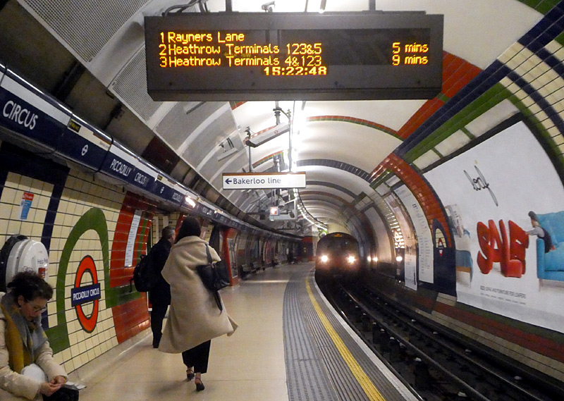
A Westbound Piccadilly line tube train for Rayners Lane
arrives at Piccadilly Circus station.
The next two trains are going to Heathrow Airport -
but different terminals 123&5 then 4 stop &123.
Oyster cards and other Contactless payment systems in PAYG mode can also be used to pay for travel on the Heathrow Express trains to / from London Paddington station. To ensure that the correct fare is charged you must touch in/out at both ends of your journey, including using the card readers at the dedicated Heathrow Express platforms at Paddington station. Travelcard tickets are not accepted on the Heathrow Express. Because the station platforms now have electronic ticket gates it is no longer possible to pay for travel once on the train - instead tickets must be bought at the station before boarding the train.
Note that whilst it is possible to buy tickets at the stations immediately before travel it is better to buy advance purchase tickets on the Heathrow Express website or app - the cheapest fares are available when bought 90+ days in advance of travel.
Passengers who wish to travel in Business First carriages who only have ordinary Express Class tickets will be asked to pay the upgrade fare once on the train. Business First offers a more private, spacious environment with wider seating and tables where passengers can work, plus a selection of complimentary magazines and newspapers. Also, Business First passengers departing from Heathrow Airport are entitled to a special Fast Track lane through security at Heathrow Airport.
Gatwick Airport: There are three main ways to travel by train between Gatwick Airport and central London.
i) The Gatwick Express is a premium express service running non-stop between Gatwick Airport and London Victoria railway station.
ii) Southern operate the ordinary stopping (all stations), semi-fast and fast trains which only call at a few stations. Mostly these trains travel between other destinations in southern England and London's Victoria station, with Gatwick Airport
being just one of the stations served during the journey.
iii) Thameslink trains also travel to the south coast but the trains that go to Gatwick Airport also serve the following important central London railway stations: London Bridge, City Thameslink, Farringdon and St. Pancras. Some Thameslink trains
also call a few other stations in south London. After St Pancras Thameslink trains travel to various destinations to the north of London - some of these trains also call at Luton Airport Parkway.
Oyster cards in PAYG mode and Contactless ticketing are accepted on all three of these services as a way to pay fares when travelling between London and Gatwick Airport. You need to ensure that you have sufficient financial credit on your Oystercard before travelling - the actual cost of the travel will depend on the time of day when you touch-in at the start of the journey (rush hours are more expensive) and the fare charged by the train company.
Whilst Oyster / Contactless etc., offer the easiest and simplest ticketing solution (ie: no need to queue to buy tickets at the airport) it is important to note that these can sometimes be the most expensive way to pay fares between London and Gatwick airport. Depending on the time of travel (rush hour? off-peak?) paper tickets bought at stations might offer cheaper fares. Very often the cheapest fares come from pre-paid advance purchase tickets (bought from the Internet). As Gatwick Airport is outside of London it is possible to buy Visitor Oyster cards here - this will make life easier when you arrive in London.
Note that Gatwick Express trains are only about 5 minutes faster than many longer-distance Southern services (which might only call at one or two station within London Clapham Junction, East Croydon) so unless you bought a very cheap Gatwick Express ticket on the internet or are in a big hurry it is often more sensible (cheaper) to travel on Southern trains - or Thameslink if their services serve stations that are more convenient for you.
In theory Travelcard tickets are not accepted on the Gatwick Express but some passengers have found that it is allowed if they also have an 'out-boundary' ticket to cover the section of the journey beyond the range of the Travelcard with a route of 'Any Permitted' (see below).
Luton, Southend Airports: These airports are only served by regular train services - not airport express trains. They are also both outside of London and whilst neither of the train services to these airports accepts Oyster smart card ticketing - they *do* accept Contactless bankcards, etc.
Tickets can also be bought online and at stations immediately before travelling. Advance purchase tickets are usually cheaper than paying at the time of travel - ideally the train tickets should be bought at the same time as the air tickets. 'Print at home' tickets (perhaps with a QR code) are sometimes an option when buying train tickets on the Internet.
Stansted Airport: No 'London' ticketing system is accepted on the Stansted Express - it is best to buy Advance purchase travel tickets on the Internet - at the same time as when you buy your air tickets.
You can buy a Visitor Oyster card at Stansted airport - this might make life easier when you arrive in London. The Stansted Express is the only train service between Stansted Airport and London Liverpool Street station.
City Airport: This airport is inside London and Oyster cards / Contactless are the most cost-efficient way to pay travel fares. Travelcard tickets should be available from the ticket machines.
St Pancras Eurostar: This too is inside London and Oyster cards / Contactless are accepted. The last time I travelled on a Eurostar train it was possible to buy a Visitor Oyster card at the buffet counter on a Eurostar train travelling towards London. Travelcard tickets should be available from the ticket machines.
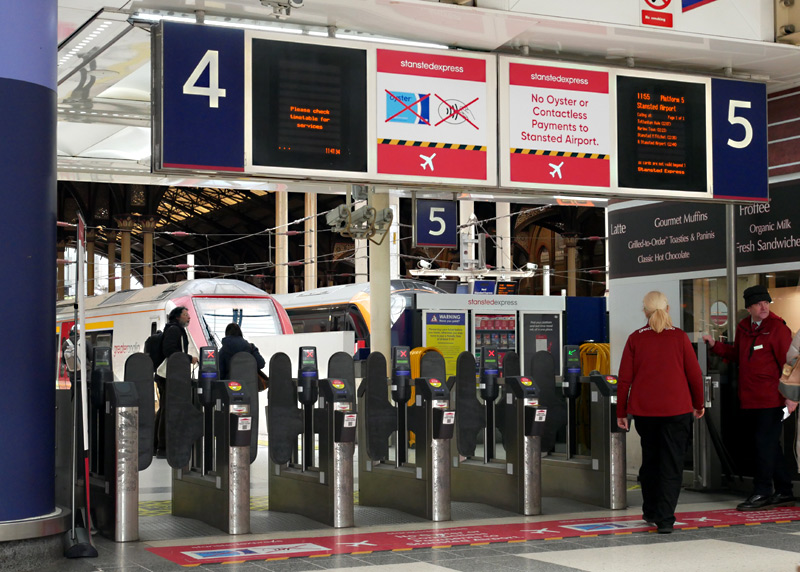
The ticket gates at London Liverpool Street
station for the Stansted Express trains.
Note the signage above the gates making it
quite clear that Oyster and other contactless
payment systems are not accepted.
Whilst Oyster and other Contactless cards are accepted for travel on the SouthEastern High Speed service between London St Pancras and Stratford International stations, special (higher!) fares are charged and these are NOT included in the fares capping system.
Boundary Zone / Out Boundary Tickets
Londoners who have Travelcard season tickets and wish to travel to an airport outside of London (Gatwick / Luton / Southend) often buy Boundary Zone tickets. Note that these are rarely sold on the Internet and might not be available at ticket machines - you will probably need to go to a ticket office at a National Rail station. Boundary Zone tickets can be bought for use with one-day Travelcards but the rules are different and evening peak hour restrictions might affect your journey.
Boundary Zone tickets are also useful if you have a Travelcard season ticket and (for instance) wish to visit attractions / destinations outside of London (eg: Brighton, Southend-On-Sea, Windsor). These make travel cheaper because passengers are only charged for the part of the journey beyond the zones of the Travelcard season ticket.
For someone visiting London one-day Out Boundary tickets will probably only make financial sense if they arrived at one of these airports and are in London on a day trip - or are on a short visit (just a few days) and are staying at a hotel that
is outside of London. For longer visits a weekly Out Boundary season ticket might make financial sense - especially if you wish to travel before 9:30am in the morning. Buying a single ticket that covers all travel will make life more convenient!
(for Luton the fare on the DART shuttle might need paying separately).
Gatwick Airport Out Boundary Ticket Cost Variations
This is a crazy situation but because of railway privatisation the cost of Out-Boundary tickets will vary depending on whether you were travelling on Gatwick Express, Southern or Thameslink
trains - they all charge different fares!...
Tickets valid on all trains, including Gatwick Express will show a route of 'Any Permitted'. (These are the most expensive)
Tickets for Southern will show 'Not Gatwick Express'
Tickets for Thameslink only will show 'Thameslink Only'
The cost will also vary depending on whether the ticket is valid all day or only off-peak. Thameslink also offers 'super-off-peak' (ie: slightly cheaper) fares at weekends and Bank Holidays.
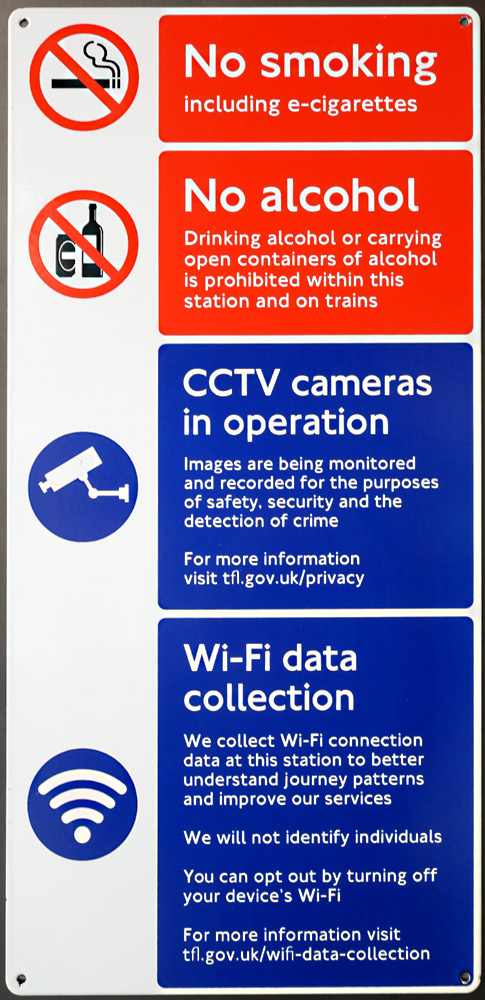
A sign seen at an entrance to an Elizabeth line
ticket hall at Bond Street station.
Only Travelling By Bus?
London’s buses charge a flat fare irrespective of distance travelled and time of day travelled. Bus passengers only need to 'touch-in' when boarding at the start of the journey.
In London it is NOT possible to pay bus fares to the driver using cash.
For people who will only be travelling on buses - and not trains - then using Oyster / Contactless in PAYG mode represents the cheapest way to pay fares.
What is called a Hopper fare means that passengers can benefit from an unlimited number of bus journeys within 60 minutes of the 'touch-in' at the start of the first journey. You must still use the card reader when boarding the bus, but you will not be charged anything! Once you are on the bus you are allowed to complete that bus journey, even if it takes you over the 60 minute time limit
Hopper Fares do not apply to the railways, river buses or IFS Cloud Cable Cars but the 60 minute rule still applies - even if you travel on any of these between your bus journeys.
Bus / Tram Fares Capping
In addition to Hopper Fares bus passengers benefit from bus / tram fares capping, which means that no matter how many bus / tram journeys you make you will only be charged a maximum of three (3) times per day. In London daily fares capping
is based upon a 'touch-in' to start a journey after 04:30 am and a 'touch-in' to start a journey before 04:29 am the next day. The same bus / tram fares cap applies at all times. There is no 'peak' or 'off-peak'.
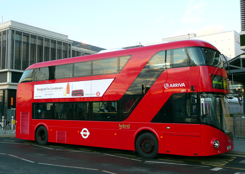
The first of the 1000 New Routemaster buses
which were created to fulfill an election promise
for (former) Mayor Boris Johnson.
These buses are used on many bus routes serving
much of Central London and some suburban districts.
Note 2: Free travel and fares capping only work when you use the same Oyster or other Contactless payment card (or device) at all times.
If staying for five days (or more) then a weekly bus pass might be worthwhile.
Typically these are loaded on an ordinary Oyster card (but NOT Visitor Oyster cards,
Contactless cards or smartphone app).
One Day Bus & Tram Pass
People who wish to travel by bus and neither have Oyster cards nor any of the other types of Contactless ticketing solutions can pay their bus fare by buying a one-day Bus & Tram pass. Although slightly more expensive than the daily Bus & Tram fares cap these are ideal for
passengers who are only in London for a day or two, are not also travelling by train and / or want a physical souvenir of their visit. One Day Bus & Tram Passes can only be bought on the day of travel and are valid from 00:01 am on that
day and for any journey that starts before 04:30 am the next day.
Since March 2025 One Day Bus & Tram passes can only be bought in the form of special Oyster smart cards which are sold at local retail shops (Oyster Ticket Stops newsagents, etc.,) and at Visitor Centres. These are single-use smart cards which cannot be used for anything else. (The printed paper versions which used to be sold at many railway station ticket machines have been withdrawn.)
Buses Have Just One Fare Zone
London's buses only have one fares zone so it does not matter where you are, the fare is the same. Also, Day Anytime, Day Off-peak and 7 Day Anytime Travelcard season tickets can be used anywhere in London - even if the ticket is only for
railway Zones 1-2, on the buses this ticket can be used to travel in all the zones - and also on most of the red London buses which travel outside of London.
Superloop
Superloop is a new bus service which started in 2023, with most routes being introduced in 2024 and one (SL4) in 2025 when two new road tunnels below the River Thames opened.
Superloop comprises a network of 10 limited-stop bus routes. Seven of them link to form an ^almost^ circle around suburban London and the other three link outer suburban areas with destinations nearer to central London. Most Superloop routes are brand new, however a few previously existed and have now been rebranded.
The various Superloop bus routes use a mix of single and double deck buses, most of which have white upper decks / roofs.
The official description of the Superloop bus network is: Connecting key outer London town centres and transport hubs.
^There is a gap at the River Thames - whilst SL2 serves the free Woolwich Ferry on the northern side of the river the SL3 goes to Thamesmead and therefore no Superloop buses serve the southern side of the Woolwich Ferry.
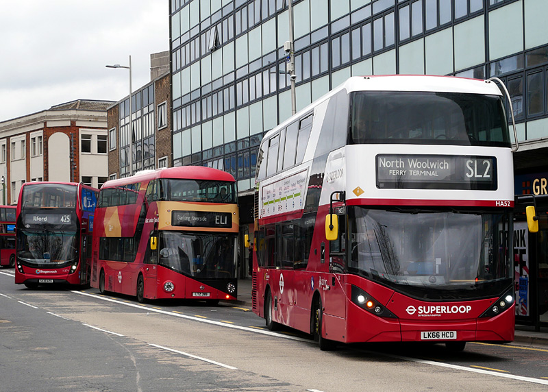
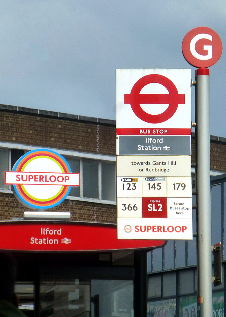
The Superloop is a limited stop service whilst
East London Transit buses call at all bus stops.
Both Superloop and East London Transit charge normal London bus fares and the full range of Oyster / Contactless,Travelcard etc., tickets are also accepted.
The East London Transit (ELT) is a network of three specially-branded bus routes (EL1 - EL3) which link rejuvenated riverside areas with neighbouring areas.
ELT bus services use New Routemaster buses, most of which are in a special red and beige livery.
Although originally planned to be more significant the ELT is just a normal urban bus service.
Other Bus Services
Also note that there are a few other bus services in London which do not accept any type of 'London' ticket.
Some of these are longer-distance tourist-themed sightseeing services, often using open-top double deck buses, or longer distance motor coach services to airports and other towns and cities within the UK. These are beyond the scope of this website.
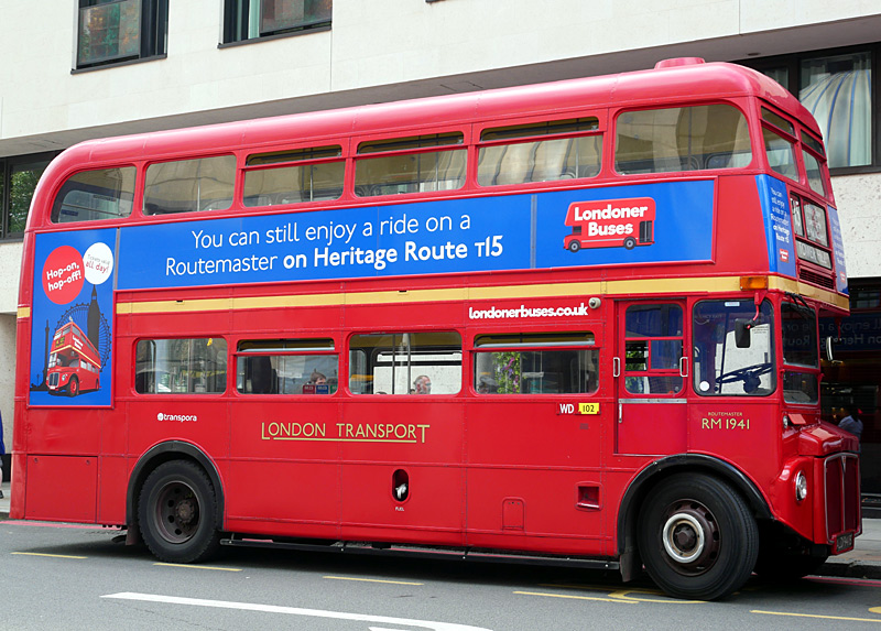
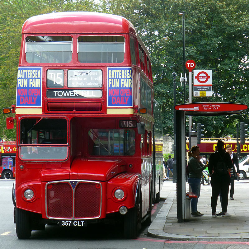
but only on privately operated leisure services.
These links lead to *some* of the private companies which operate the original iconic Routemaster buses in London. As a general theme they are used as sightseeing tour buses - often with a tour guide who also acts as an entertainer. There are also some companies which specialise in hiring a Routemaster bus, eg: for a private tour of London's sights, sometimes with afternoon tea / other refreshments, as transport for guests to a family wedding, more... All these services charge special fares.
https://www.londonerbuses.co.uk/
A regular service every 40 minutes from special bus stops passing many top visitor sights. Both single fares and hop-on hop-off ride-at-will day fares are available.
https://www.theclassictour.com/
Sometimes uses open top double deck Routemaster buses.
https://www.theghostbustours.com/london/
A comedy - horror theatre experience on wheels as the specially decorated Routemaster bus passes London locations with gruesome histories.
https://b-bakery.com/london/bus-tours/afternoon-tea-bus-london
Afternoon tea on a Routemaster bus tour.
More information about afternoon tea tours - on other types of buses, including river buses can be found here:
https://www.visitlondon.com/things-to-do/sightseeing/sightseeing-tours/afternoon-tea-tours
Visitors on a limited budget who cannot afford special services can use ordinary buses to create their own sightseeing tour of London - bus route No.11 is sometimes used for this much cheaper solution. Normal bus fares apply.
There is also a website where it is possible to find the location of any bus is London
http://londonvf.co.uk/.
Tram Fares
Tram passengers generally pay the same flat fare as bus passengers, and passengers with smartphone apps, Contactless and Oyster cards should use the card readers on the tram stop platforms before boarding the tram. This includes at Elmers End and Wimbledon stations where the trams stop inside the railway stations' fares paid areas. ALL Passengers travelling TO Wimbledon who are using electronic ticketing, no matter what type - ie: even if it is a Travelcard season ticket - are supposed to 'touch-in' before boarding the tram.
It is also possible for passengers interchanging between a tram and a bus (or between two trams) to benefit from the Hopper fare for free journeys, as detailed above.
Special Tram Fares Zone / Travelcards And Trams
Although Croydon and its railway stations are in zone 5 and some tram stops are also in zones 3, 4 and 6, to make life simple the entire tramway system is a special fares zone of its own and only Travelcard
season tickets which are valid in railway zones 3, 4, 5 or 6 can be used on the trams. Note that this need for Travelcards to be valid in at least one of the zones served by the trams is one of the few
differences between tram and bus fares.
Tramlink stops used to have ticket machines where passengers could buy tickets using cash. However these were withdrawn in July 2018.
There is more tram ticketing information in the Tramlink section below
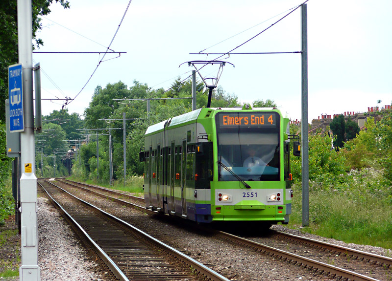
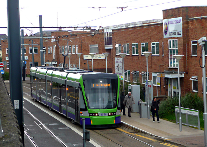
which is to the south of the Greater London metropolitan area.
River Buses
There are many different river bus operators and they all seem to charge different fare scales. Some of them accept Oyster Cards and even offer discounts for passengers who are using Oyster PAYG or have a Travelcard. It is a good idea to ask for the discount! River bus fares are not included in fares capping.
London's river bus services vary between tourist-themed leisure cruises and public transport-type services
aimed at local people.
This page at the TfL (Transport for London) website offers more detailed information.
https://tfl.gov.uk/fares/find-fares/river-fares .
Note that the Woolwich Ferry in east London is free to use - and offers excellent views of the Thames Barrier.
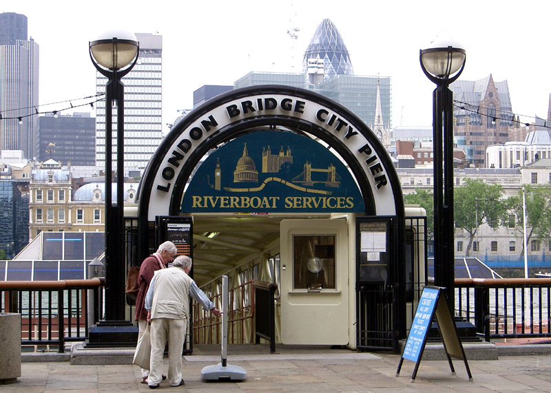
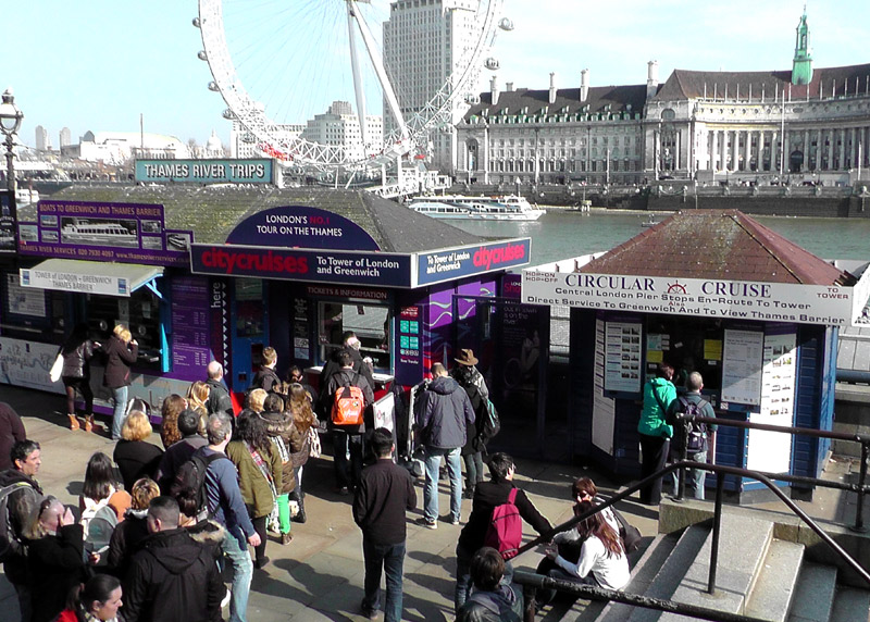
whether it is a tourist-themed leisure cruise or aimed at local people making normal public transport-type journeys.
Cable Cars
The IFS Cloud Cable Car in east London uses small gondolas which hang from overhead cables and can carry up to ten passengers. There are two terminals - one on each side of the river Thames. Special fares are charged, these are different than the rest of London's public transport networks. Passengers who pay using Oyster / Contactless in PAYG mode should remember to 'touch-in' at the start of their 'flight' and touch-out on arrival at the other end. Note that the cost of cable car 'flights' is excluded from fares capping. Passengers with Oyster cards may receive discounts which are not available to passengers who pay their fares in a different way - it is a good idea to ask!
Passengers with paper tickets and Travelcard season tickets (of whatever type) will also need to pay an extra fare but should let the ticket staff know about their other tickets as these too *might* entitle the holder to a discount / cheaper fare. Passengers who wish to travel on a 360° 'out and back' ride should visit the ticket office to buy a special two-way pass.
It is also possible to buy a carnet of ten rides which work out much cheaper than paying for each ride at the time of travel. However these tickets are aimed at local people who make frequent journeys and all ten journeys must be made by the same person.
Between 10:00 and 15:00 (10am and 3pm) flights normally take about 10 minutes. Note that for the benefit of regular passengers who commute on the cable car earlier and later flights will usually take about 5 minutes, and that at very busy times daytime flights may be speeded up as well, so as to reduce queuing / waiting times.
Realistically, as long as passengers with prepaid Travelcard Season Tickets have to pay a surcharge to travel on the cable car and the fare charged to PAYG passengers is not included in daily and weekly price capping, the cable car will remain a niche tourist ride that is of little relevance to Londoners for regular travel. The ten ride carnet is still an extra financial burden which only some people will be willing (or able) to pay.
More information about the IFS Cable Car, where it is in London, the fares, etc., can be found at the TfL (Transport for London) website:
https://tfl.gov.uk/modes/london-cable-car/ .
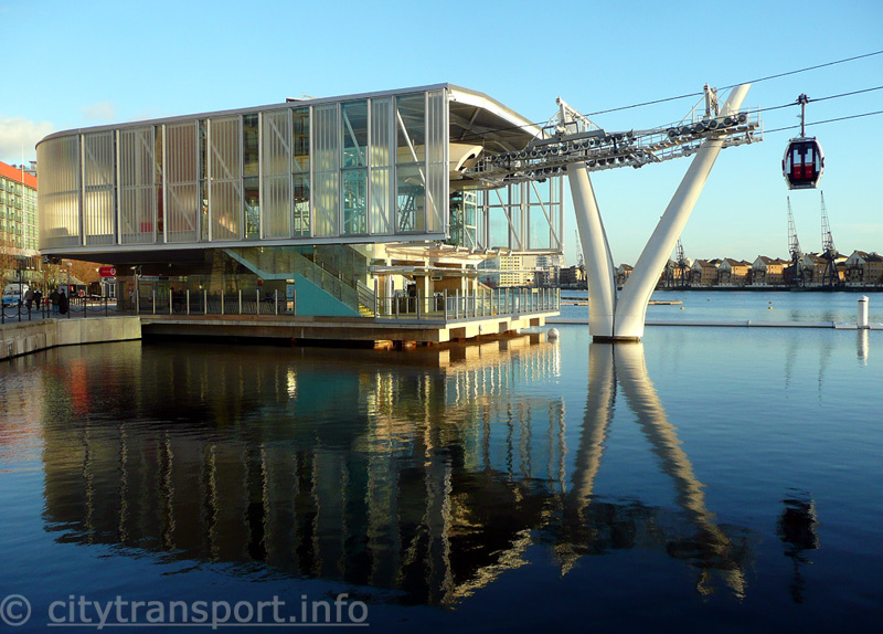
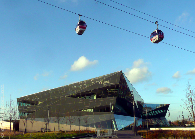
from when the Royal Victoria Dock was a working dockyard.
Close nearby is Royal Victoria DLR station.
Cryptocurrency
In London cryptocurrencies (eg: Litecoin, Bitcoin Cash, Dogecoin, etc.,) are NOT accepted for fares payments.
Photography
The railways say that their trains and stations are private property to which the public are only admitted for the purpose of travelling - and not ‘railfanning’ or filming. That said, as a general theme the 15 different organisations which operate local railway services within London tolerate amateur photography anywhere where passengers are admitted and whilst the passenger is passing through the station as part of a journey from A to B. A few train operators only permit photography in bad grace and mainly because so many people / tourists have mobile phones with cameras nowadays that it is virtually impossible (and represents bad ‘public relations’) to even try and stop them taking photographs - especially of family groups (for instance: standing next to a station name sign).
Railfans should note that if intending to stay at one station for longer than the next train they are supposed to visit the station master’s office and let them know who you are and why you are there. Some station staff might ask what you are doing or even tell you photography is not allowed. This is NOT correct but alas, some station staff like to make their own rules. (This can also happen because they were not trained properly when they started their job). It is important to understand that there is a high state of alert about a possible terrorist attack so you may be questioned by the police if taking photos. This has happened to me, several times. Of course answering truthfully about who you are, what you are doing and why is the only way to keep the authorities happy - and it saves you having to remember your previous answers. Sometimes it is useful to have a few ‘railfan’ style magazines (etc) which can be shown to anyone who questions your interest in transport. Whilst we here in Britain do not need to always carry identity cards / internal passports with us, it can be useful to have something with your name and address just in case the police decide to verify that you are of no interest to them.
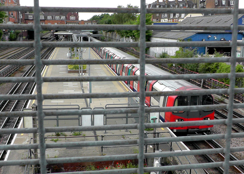

This view shows Piccadilly line trains at Sudbury Town station.
If you are stopped by any official (especially a security guard) for using your camera try to put it away (a zipped pocket is ideal) as quickly as possible. By law only a judge in a court of law has the right to demand that you delete your photographs from your camera. So it is actually a criminal offence for any police officer or member of station / railway staff to force you to do this. If in the unlikely event you are asked to do this its best to try to avoid confrontation by suggesting that you will leave the station on the next train (and of course you must then do this). If the official is really intent on you deleting your images then refuse and demand to see a superior officer. Whilst it is unlikely that events will reach this stage you should note that a police officer can confiscate your memory cards to use in a court of law at a later date.
There is a known issue (that is, known amongst ordinary people - officialdom seem to be blind to this) where some people who wear official uniforms (especially PCSO's - Police Constable Support Officers and private security guards) do not seem to understand that photography is permitted and even within the general street scene harass otherwise innocent people who are using cameras. There was one extreme example where someone believed to be a PCSO told some Austrian tourists that it was illegal to photograph buses and that they must delete their images. Tragically the tourists did not know better and complied with this request - just because someone may be an overseas visitor does not give people in authority the right act illegally.
At some stations the station master interprets the photography rule as being that whilst still image cameras are acceptable, video cameras are not.
As a general guide tripods should not be used, as they create a tripping hazard. Tripods are prohibited at London Underground stations. Also railfans should be sensitive in their subject material and try to avoid photographing people - especially ‘close-up’. Even though this is sometimes done with the CCTV surveillance cameras (albeit without the person being filmed realising it) few passengers like camera-wielding railfans being intrusive with their photography.
It is strictly forbidden to use flash or other artificial lighting on station platforms. Especially not when filming trains entering stations as it can induce short-term blindness for train drivers whose eyes have become accustomed to the dark tunnels. You may be asked to leave the station if you break this rule.
Another issue is that the press officers / media centres of some of London's rail operators are so concerned about their public image that they want to maintain 100% control of anything that shows or visually represents the transport services they provide. It is if anything an understatement to say that their attitude is one of a paranoid fear that people with cameras (even tourists) have the sole desire to use whatever they photograph in ways which damage the reputation of the organisation. This attitude is of course quite normal for large commercial companies, with it even having happened that they threaten transport enthusiasts who create personal websites (such as this) with prosecution (slander / libel etc) for saying things about them which they do not like. Not me, thankfully, but it has happened... of course no names will be revealed here!
The topic of harassment of people using cameras is also raised on one of the Nostalgia, Heritage & Leisure pages on the citytransport.info
web site .
Advice If Asked To Pay An 'On The Spot' Fine
British police do not ask for money so you should NEVER be asked to pay a fine to someone who claims to be a police officer. If in doubt ask to see a superior police officer.


artifact which has been preserved for the benefit of future
generations (historic rolling stock).
Why Taking Photographs Is Important And Good
Photography is a creative activity which expands upon an historic meme of recording events which in later years will be of interest to historians and the wider population, helping future generations discover and understand how people lived in times past and how that era contributed towards creating the society in which we live today. In 'olden times' this data recording might have included paintings, mosaics, rock / cave wall art, statues, busts, miniature models, etc.
Photography also conforms with the important ethical motto of doing no harm unto others
and the moral code which requires that people
take nothing but photographs, leave nothing but footprints, kill nothing but time.
Further Reading / Second Opinion
For further reading about railway photography this page at the District Dave London Underground themed discussion forum may be of interest. Although the page is titled
"Photography on the Underground: Rules and Advice" it also looks at the Docklands Light Railway, Tramlink and the main line railways (including Network Rail).
http://districtdave.proboards.com/index.cgi?board=selfhelp&action=display&thread=6610
Links to web pages published on the websites of local governments, transport operators and the police which include information that may be of interest to transport enthusiasts. Some of these links also require the use of a portable document pdf reader, such as Adobe Acrobat.
Question to the Mayor of London on the topic of permitting photographs on TfL property at a meeting of the London Assembly.
https://london.gov.uk/questions/2017/1791
Transport for London Conditions of Carriage.
http://content.tfl.gov.uk/tfl-conditions-of-carriage.pdf
Filming & photography on TfL - the information here is mostly for professional film crews, not amateurs filming on their own or people taking family snapshots with small hand-held cameras.
https://tfl.gov.uk/info-for/media/filming-and-photography/filming-and-photography-on-tfl?intcmp=1594
Network Rail guidelines for taking photos at stations (mostly applies to large city centre stations).
https://networkrail.co.uk/communities/railway-enthusiasts/guidelines-for-taking-photos-at-stations/
Advice for Rail Enthusiasts visiting stations on the National Rail network.
https://www.nationalrail.co.uk/stations_destinations/51952.aspx
British Transport Police information for rail enthusiasts.
http://btp.police.uk/advice_and_information/safety_on_and_near_the_railway/rail_enthusiasts.aspx
Photography advice from the Metropolitan Police.
https://www.met.police.uk/advice/advice-and-information/ph/photography-advice/
So, What To See????
As a general guide all services in the Central London area are below ground, whilst the services which reach the suburbs travel in the open air. People who just wish to sample a 'tube' train can do so by travelling on any of the 'small profile' lines as listed near the top of this page. Just expect to be in a deep level subterranean section of railway.
If you would like to see detailed diagrams showing track layouts and on which side of the track station platforms are located, then the London maps at
this website may be of interest.
http://cartometro.com/metro-tram-london/
More links to websites of interest can be found on the further information resources section of this page.
To make planning easier this guide lists services line by line, detailing what part of the line is below ground, what part is in 'open air' and some other information which may be of interest. Because of the extensive interworking of some services some sections of line are also detailed in a separate section further down the page.

| Bakerloo Line |
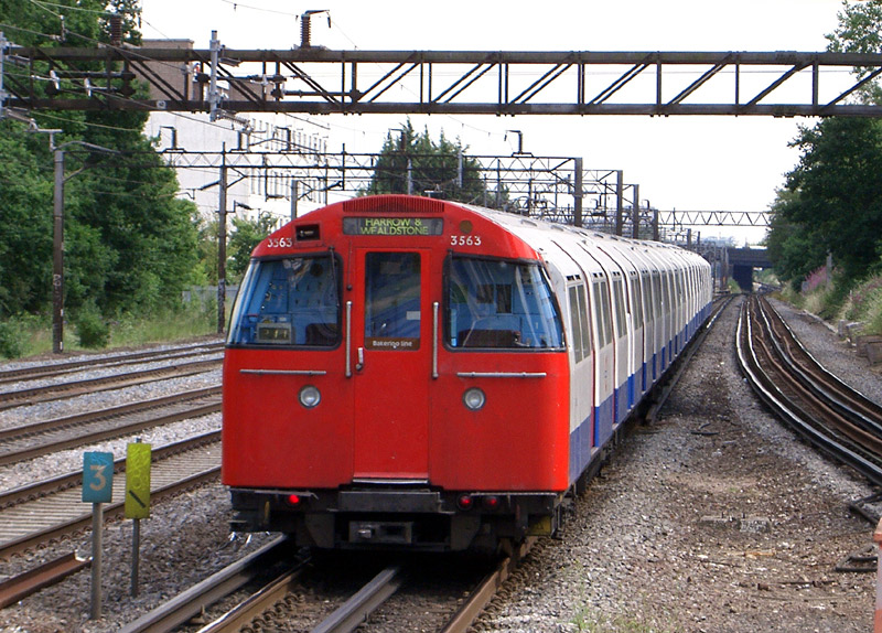
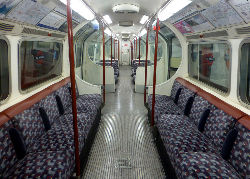
These are the oldest trains still in full-time daily service on the London Underground network.
The 1972 Mkl Tube Stock was used on the Northern line and (for a few years) the Victoria line, but have now been replaced.
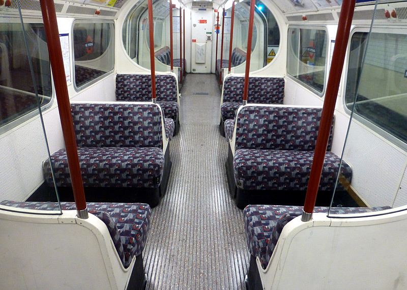
1972 Mk2 Tube Stock has different middle bay seating styles...
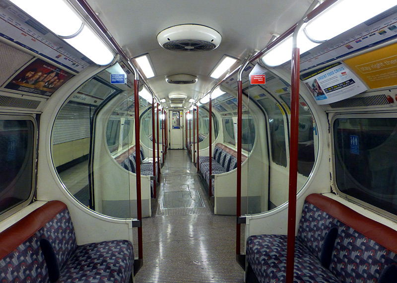
(ie: T - Trailer and UNDM - Uncoupling Non-Driving Motor) have inward-facing longitudinal seats along the inside edge of the car.
(ie: DM - Driving Motor) have two groups of four transverse seats
on each side of a central walkway.
| Below / Above Ground |
In tunnel from Elephant & Castle to just outside Queens Park.
Above ground between Queens Park and Harrow & Wealdstone. There is also a short tunnel just to the north of Kensal Green station.
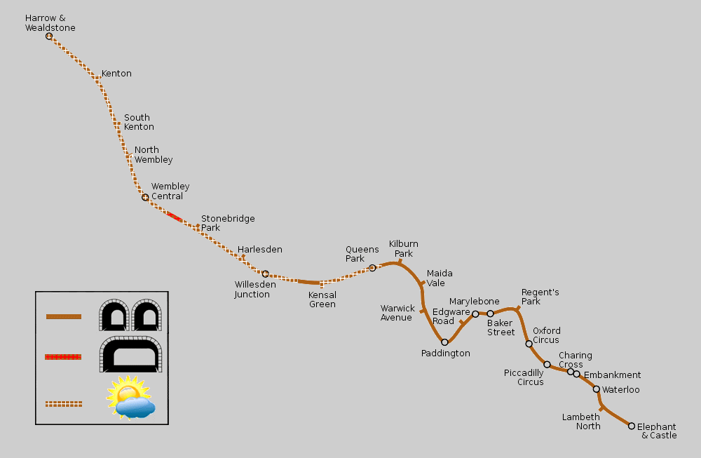
Click map to see larger version in a new window!
Ed g2s / Wikipedia encyclopædia CC BY-SA 3.0
http://commons.wikimedia.org/wiki/File:Bakerloo_Line.svg
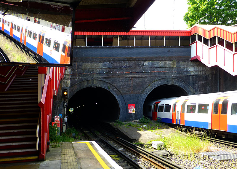
These tunnels are very short and it is possible to see all the way through to the far end.
| General Information |
Many Bakerloo line trains terminate at Queens Park; those which travel further north terminate at either Stonebridge Park or Harrow & Wealdstone. Some older UndergrounD maps will show the Bakerloo line as also extending to Watford Junction, however these services operated between 1917 and 1982; nowadays only London Overground trains travel between Harrow & Wealdstone and Watford Junction. Some older UndergrounD maps will also show a section of Bakerloo line between Baker Street and Stanmore. However this was only between 1939 and 1979; nowadays Jubilee line trains provide services to Stanmore.
Central London:
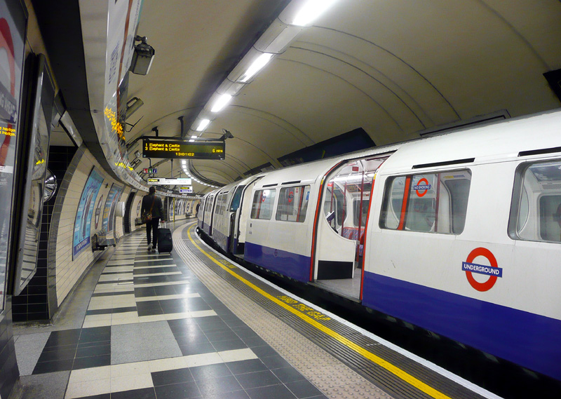
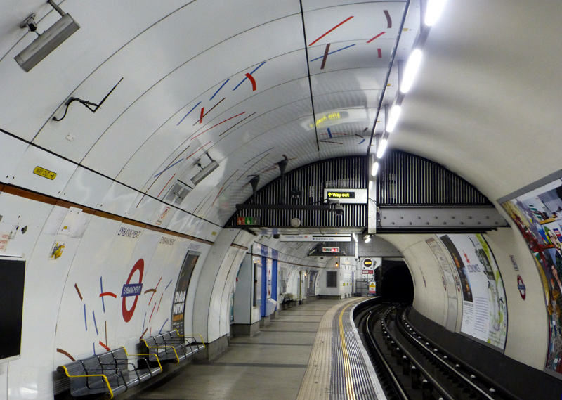
Of the three stations served by both Bakerloo and Northern line trains this is probably the best choice for passengers wanting to interchange between the two lines.
Whilst the decorative stripes are repeated on all three sets of platforms (Northern, Bakerloo, District & Circle lines) there are subtle differences in the pattern designs and colours.
Some older UndergrounD maps will include a Bakerloo line station called Trafalgar Square. The building of the Jubilee line saw this station being merged with the Northern line station that used to be called Strand and the combined station is now called Charing Cross.
Changing trains at this station is not recommended because there is a very long walk through a narrow passageway between the Bakerloo and Northern line platforms.
 |
|
 |
|
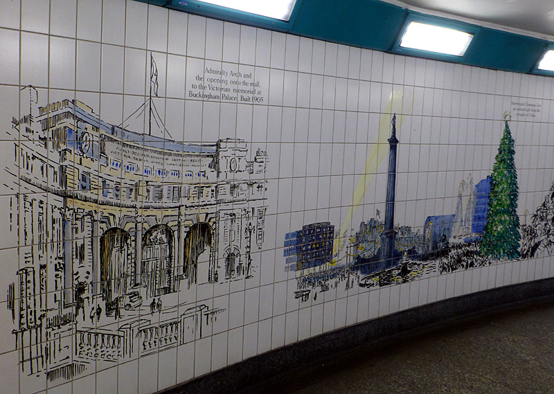 |
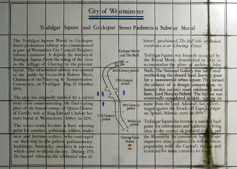
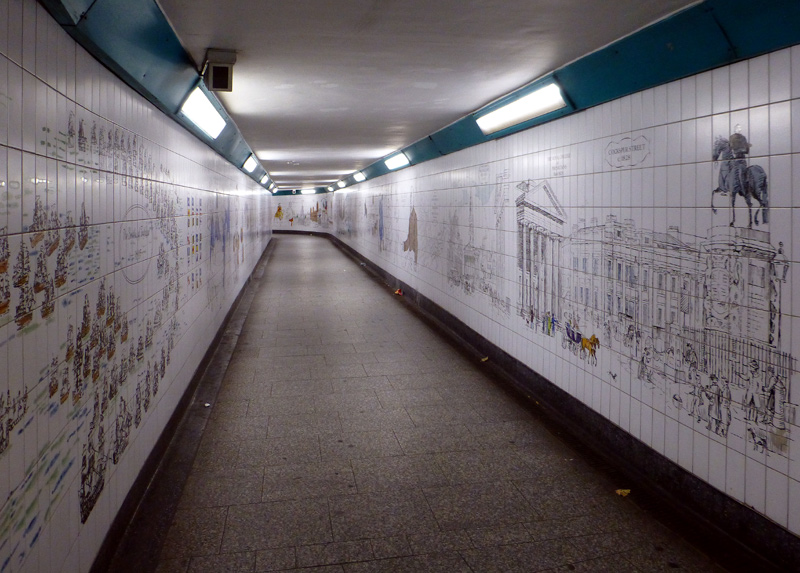
and historic information from the past 800+ years. Click images to see larger versions in new windows.
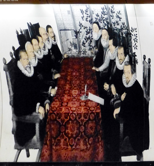 |
|
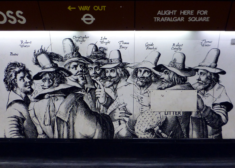 |
|
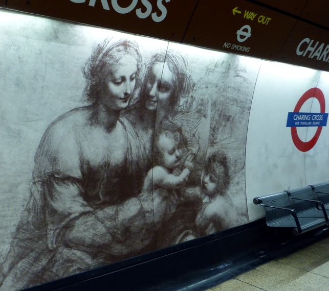 |
These images reflect the proximity of the National Gallery and the National Portrait Gallery.
At Oxford Circus station there is an easy 'same level' interchange with Victoria line trains travelling in the same direction (ie: northbound with northbound and southbound with southbound). Interchange between northbound and southbound trains or with the Central line is via steps and passageways.
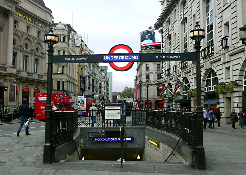
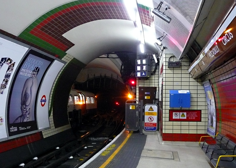
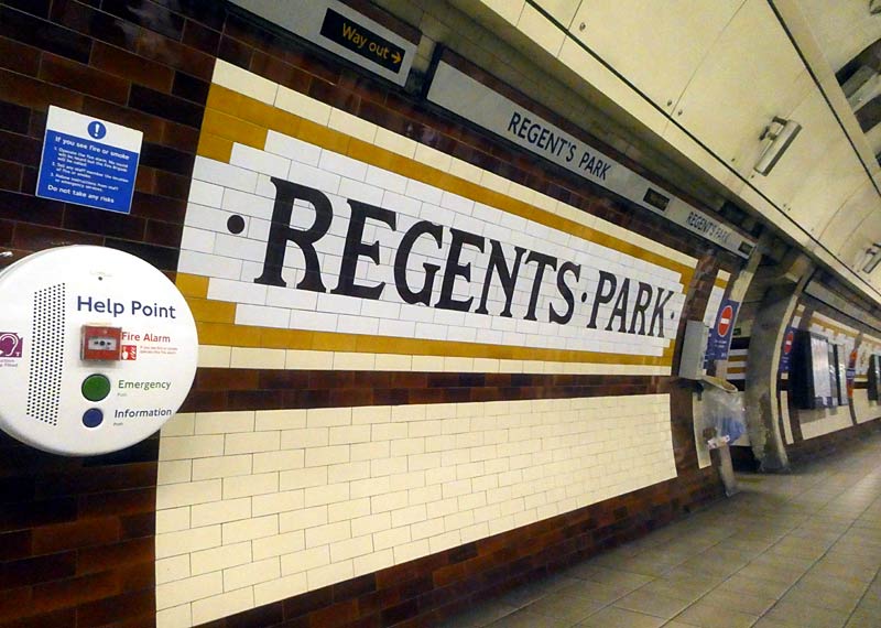
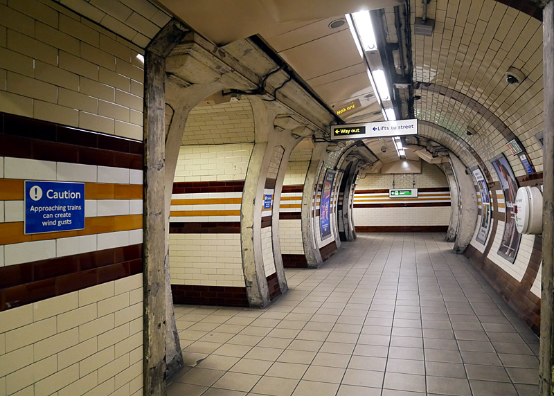
The Bakerloo line platforms at Piccadilly Circus are unusual because at the north end of the station there is a crossover track which allows passengers to see both platforms at once and that the two platform tunnels are arranged 'back to back' with outside platforms - at most subterranean stations the platforms face each other and share the same platform access tunnels.
These lifts are at the same level as the northbound platform.
Regents Park must cross the tracks via this underpass.
(Bakerloo line trains no longer go to Watford Junction).
At Baker Street station there is an easy 'same level' interchange with Jubilee line trains travelling in the same direction (ie: northbound with northbound and southbound with southbound). Interchange between northbound and southbound trains or with the Metropolitan, Hammersmith & City and Circle lines is via steps / escalators and passageways.
Baker Street is famous for its association with a fictional detective (Sherlock Holmes) and the Bakerloo line platforms (plus some other areas) use a silhouette of the famous man as a motif.
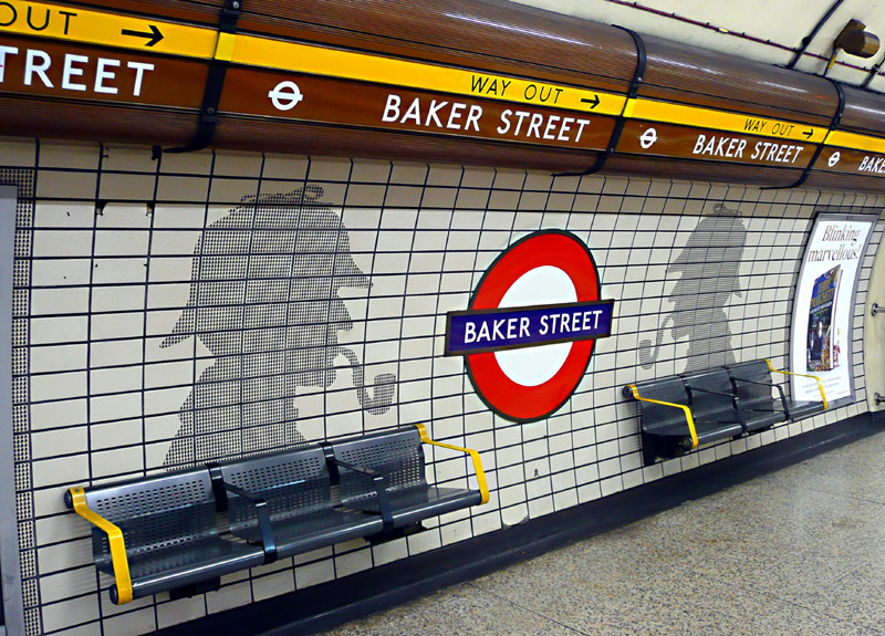
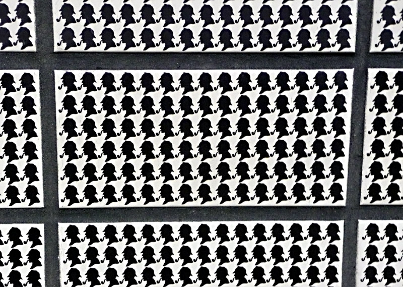
As the image on the right suggests, the large silhouettes are formed of many smaller versions of the same image.
Stations At Different Locations With The Same Names: For historic reasons two stations served by Bakerloo line trains are ‘duplicates’. At both Edgware Road and Paddington different Underground trains call at identically named stations which are at separate locations a short-ish walk from each other.
The Bakerloo line station named Edgware Road is located on the Edgware Road just north of its junction with the Marylebone Road. The other station with the same name is served by the District, Circle and Hammersmith & City lines and is located a short walk away on the southern side of the very busy Marylebone Road.
The out of station interchange (OSI) system means that passengers paying fares using PAYG are allowed to walk between the two Edgware Road stations and then continue their journey at no extra cost. (Touch-out when leaving the station and touch-in when arriving at the other station). There is a generous time limit in which this journey must be completed, so people who walk slowly should not worry.
The Bakerloo line station named Paddington is also used by District and Circle line trains (which travel via High Street Kensington station) and is located near the main concourse of the main line / National Rail station, whilst the Hammersmith & City and Circle line trains (which travel via Royal Oak) use the suburban platforms (numbers 15 & 16) which are part of the main line railway station and totally separate from the other underground lines. In addition there is a separate Elizabeth line station!
Passengers changing between the Bakerloo line and District / Circle lines or the Bakerloo line and Elizabeth line can use the provided passageways without leaving the fares paid area. By way of contrast, passengers interchanging between the Bakerloo line and Hammersmith & City Paddington stations or Bakerloo line and main line stations will need to leave the fares paid area. However even if paying fares using PAYG the out of station interchange (OSI) system means that it is still possible to continue the journey at no extra cost. (Touch-out when leaving the station and touch-in when arriving at the other station).
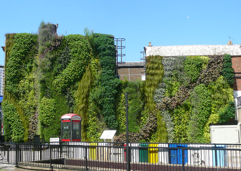
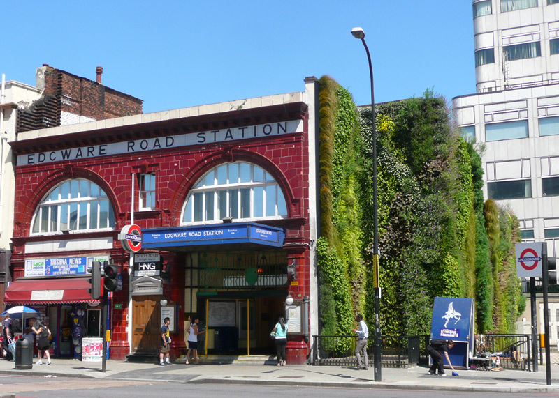
However this green wall has not met with universal acclaim, with some people saying that it looks rather 'twee' whilst critics suggest that this is little more than environmental tokenism and that if London's Transport decision-makers were really interested in reducing (or even eliminating) the street-based air pollution over which they have any control then they would be converting London's buses to electric trolleybuses, as these do not emit any tail-pipe pollution at all - making them as environmentally (and city) friendly as London's many electric railways and the Croydon Tramlink trams.

The tiles show the patent drawings for the tunnelling shield designed by Sir Marc Isambard Brunel for digging the 1843 foot tunnels under the river Thames in the Wapping - Rotherhithe areas of east London.
Sir Marc's son Isambard Kingdom Brunel was the famous engineer who built the Great Western Railway, designed Paddington main line station - and much more!
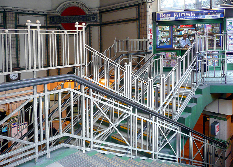
This station is feted for its large mosaics of the Underground roundel logo, original tile work and for still retaining upstanding lights in the escalator shaft. Over the years it has often been used as a film set.
North London:
The route between Queens Park and Harrow & Wealdstone is mostly located alongside the London - Glasgow West Coast Main Line (WCML). The entire route has six tracks - or more!
At Queens Park station there is an easy 'same level' interchange with London Overground trains travelling in the same direction (ie: northbound with northbound and southbound with southbound). Interchange between trains travelling in opposite directions is via the station ticket hall.
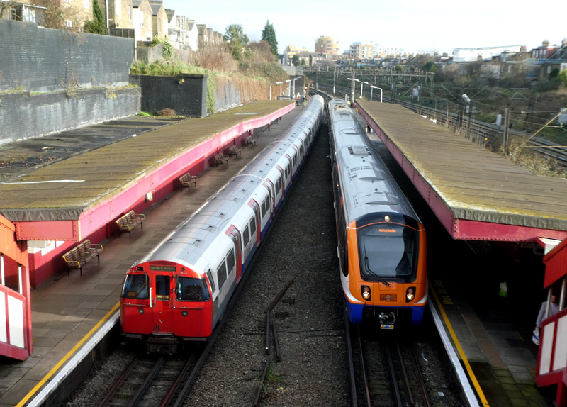
The view from the ticket hall - Underground Bakerloo line 1972ts and Overground Lioness line Class 710 trains pass at Kensal Green station.
Travelling on a Bakerloo line train north of Queens Park is very much recommended. Immediately to the north of this station the trains travel inside the depot trainshed (IMPORTANT: you *must* be on a Bakerloo line train, and not an Overground train) then the tracks merge and the Underground and Overground trains provide a shared service.
There is more information about this section of the Bakerloo line in the Shared Service Routes section below
| Central Line |


which also passes by the Newbury Park station car park.
Central line trains use a GoA 2 (Grade of Automation level 2) semi-automatic train control system (STO) whereby the trains travel automatically from station to station but a human train driver is always present at the front of the train, with duties that include door closing and initiating station departure. To ensure that train drivers retain their train driving licences they sometimes still have to drive the trains manually (especially on Sundays).
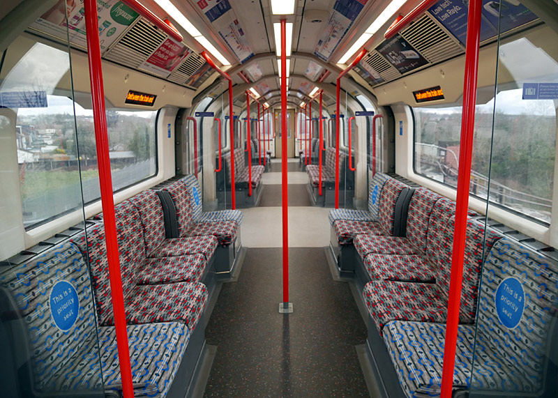
When first built Central line 1992 tube stock trains were formed of four semi-permanently coupled two-car units and apart from the ends with a drivers' cab each unit end has rudimentary driving controls for use in the depot. Normally these operate as 8 car trains with driver's cabs only at each end of the train - it is very rare to see a drivers' cab elsewhere along a train.
Although the Waterloo & City line also uses 1992 tube stock trains the two fleets are different electrically and therefore not compatible (without expensive modification).
 |
|
 |
|
 |
At the time of this page update (April 2025) Central line trains are being refurbished to extend their lives for 10 - 15 more years.
The Central Line Improvement Program (CLIP)
is a significant upgrade which includes:
- bodywork repairs,
- bogie overhaul,
- installing a new Data Transmission System (DTS) which includes a new computer interface in the train operator’s cab^,
- replacing the trains' DC (direct current) motors and traction control system with a more energy efficient and more robust AC (alternating current) train control system that includes AC motors,
- installing CCTV cameras inside the trains,
- replacing the fluorescent tube lights with more energy efficient and brighter LED lights,
- fitting new easier-to-read dot-matrix destination displays at each end of the train.
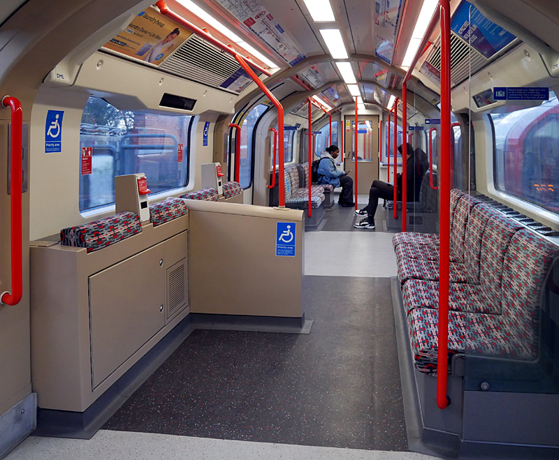
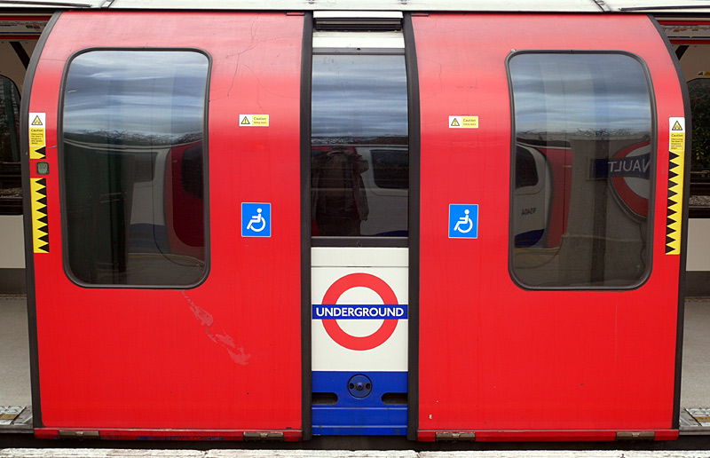
Each refurbished train has two tube cars with wheelchair spaces. These are tube cars Nos. 2 and 7, which are near each end of the train,. To help passengers find them labels with wheelchair symbols are being attached to the sliding passenger doors.
A separate and overlapping project is refurbishing (and sometimes replacing) the sliding passenger doors as these have become more prone to issues which sometimes require trains to be taken out of service. Not including this in the CLIP project means that the door overhauls can be completed more quickly.
Karldupart / Wikipedia encyclopædia CC BY-SA 3.0
http://commons.wikimedia.org/wiki/File:Central_Line.svg
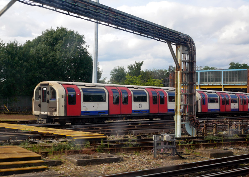
Filmed from inside a moving train passing Hainault depot on a journey between Grange Hill and Hainault stations.
| Below / Above Ground |
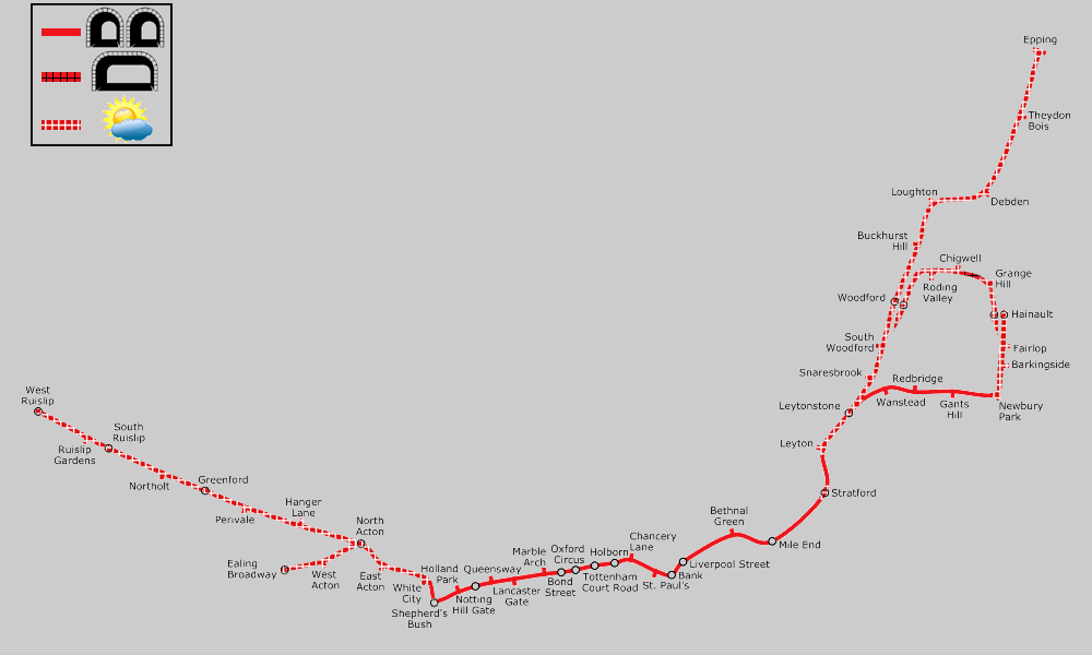
In twin single bore tunnels through Central London (just outside White City - just outside Leyton) and to the east of London between (just outside) Leytonstone and (just outside) Newbury Park via Redbridge. There is also a short twin-track tunnel between Chigwell and Grange Hill stations.
In open air at Stratford (only for the station), Leyton - Epping / Newbury Park via Woodford and White City to Ealing Broadway / West Ruislip.
Click map to see larger version in a new window!
| General Information |
Photographic viewpoints which I've used include:
* Depot Road which is just a little to the north of White City station,
* Wood Lane just north of the junction with the Westway (to the north of White City station)
* Victoria Road (and Chase Road) which are either side of North Acton station,
* a footbridge over the tracks near to Park Royal Piccadilly line station,
* a footbridge over the tracks close to the Sainsbury's supermarket car park near to Newbury Park station,
* the footpath outside Newbury Park station,
* Station Way road bridge over the tracks near to Roding Valley station.
West London:
Ealing Broadway is a busy suburban station where there is a wide variety of trains to see, more information about it can be found further down this page
Between Ealing Broadway and the next station (West Acton) the Central line is partly alongside the Great Western Main Line and often longer distance trains from Paddington station can be seen passing by.
This includes Great Western Railway InterCity Express trains heading to / from Bristol, Cardiff, Swansea and Penzance, other Great Western trains on outer suburban / regional services, Heathrow Express trains
travelling to / from Heathrow Airport. Elizabeth line trains and several different types of goods / freight trains.
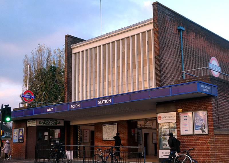
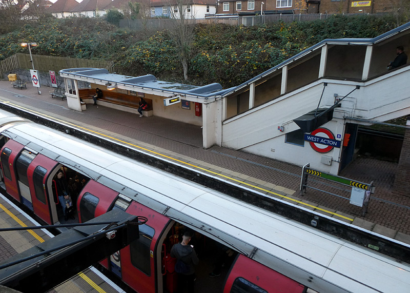
This station is typical of many of the 1930‘s Art Deco stations where the ticket hall is a reinforced concrete frame brick clad 'box' with full-height windows and concrete mullions on both the front and rear elevations.
Other distinctive features also include open-sided concrete staircases with bronze handrails linking the ticket hall with the platforms, which have flat-roofed, open-sided concrete shelters, a distinctive bull-nosed glazed end and crook-shaped polished hardwood benches that follow the curve of the shelter.
As this station is listed by Historic England more information about its architectural merits can be found at this link on their website:
https://historicengland.org.uk/listing/the-list/list-entry/1400997
A little to west of North Acton station is the junction where the Ealing Broadway and West Ruislip branches join. .
West Ruislip was built as a through station, because the original plans were for the Central line to extend a few stations further - to Denham. Alongside the Central line is the New North Main Line (NNML), which was once a busy main line railway route with trains to Birmingham, Birkenhead (Wirral / Merseyside) and other destinations. Nowadays only the section between South Ruislip and West Ruislip is regularly used by passenger trains (Chiltern Railways, from London Marylebone station) and some of these trains still go to Birmingham.
Some Chiltern Railways trains from Marylebone also call at South or West Ruislip stations (not usually them both!) and One-day Travelcards / Oyster / Contactless PAYG can be used on these trains too. (If using a Travelcard remember to ensure that it is valid in Zone 5 for South Ruislip or Zone 6 for West Ruislip). The Chiltern trains are not frequent - check the timetable if you wish to use them. Between Ruislip Gardens and West Ruislip there is a large Central line depot which also has a non-passenger link with the Metropolitan / Piccadilly line Uxbridge branch. (This link is not visible from passenger trains).
Especially between Greenford and Hanger Lane the railway is also close to the A40 Western Avenue, and by looking out the train's window it is possible to see the often-heavy road traffic. Because of the distance between stations (and the low road speed limit which is enforced by speed cameras) the trains often travel faster than the road traffic! The railway is elevated here and you will also see many houses and other buildings.
At Greenford the (half hourly, not Sundays) shuttle train from the bay platform at West Ealing terminates in a third track between the Underground trains. Note that although there are platforms on both sides the shuttle trains only use one of them. This is the last station in Zone 4.
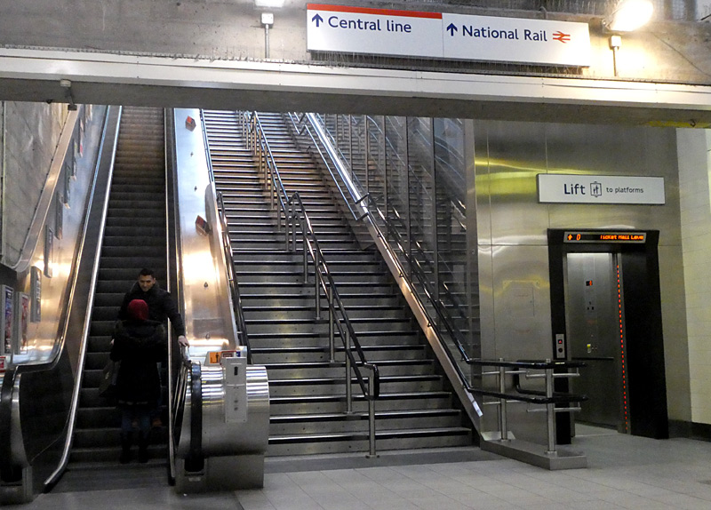
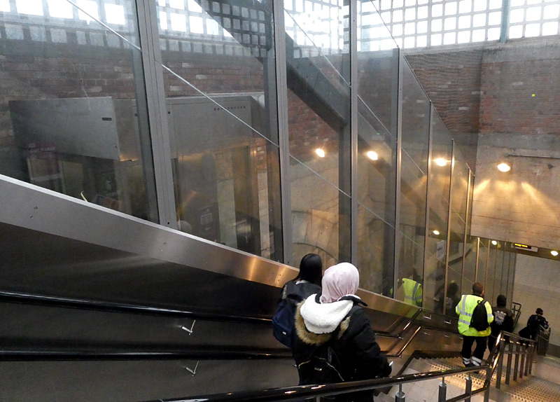
 Trains at Greenford station feature in one of my 'youtube' videos - using footage from the 1980's, 1990's, 2009 and 2010 the film shows a wide variety of rolling stock, including some older types of train which
have now been replaced.
Trains at Greenford station feature in one of my 'youtube' videos - using footage from the 1980's, 1990's, 2009 and 2010 the film shows a wide variety of rolling stock, including some older types of train which
have now been replaced.
This can be seen by clicking either the projector icon or this link:-
http://www.youtube.com/watch?v=9Gr8aoyMBAw
Alas, the film does not show the inclined lift - this is because it was made several years before the lift was installed.

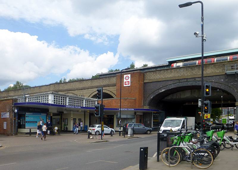
When the Central line platforms at Greenford station were built they were specially designed to include 'cross platform' interchange between the Great Western Railway's trains on the branch line towards Ealing via Castle Bar Park
and the Central line's trains.
Unfortunately nowadays the Great Western trains only open their doors on one side. This change of policy seems to date from the introduction of the modern trains which have sliding doors that
the railway staff control (the previous trains had hand-operated doors which passengers opened and closed).
Why? it can only be surmised that the railway sees what
benefits passengers as being less important than what is easy for its staff.
Hanger Lane station is next to a large traffic gyratory and most of the entrances are part of the pedestrian walkway system under the roads.
A Little History
Much of the Central line route between Ealing Broadway and White City stations was built by the Ealing & Shepherd's Bush Railway (E&SBR) for the Great Western Railway
(GWR) as a branch which linked Ealing Broadway station to what nowadays is known as the West London Line. The E&SBR line opened in 1917 and in 1920 the electric tube trains were extended along it as far Ealing Broadway.
In 1938 the GWR gave its goods trains brand new dedicated tracks as far as North Acton station, this made it possible for them to stop 'track sharing' with the tube trains.
As the GWR owned this railway line it
also built the new stations (East Acton, West Acton and new platforms at Ealing Broadway), even though they were only used by Central London Railway (Central line) tube trains - North Acton station already existed
but it was resited.
The section of the Central line between North Acton and West Ruislip was also built by the Great Western Railway,
although it was only in the late 1940s (after WW2) that electric tube trains replaced GWR steam trains. Many of the station buildings are Art Deco styled.
The tracks which the GWR had built for goods trains in 1938 ended up being closed by British Railways in 1964. Some of the closed line has become overgrown (with trees), other sections have been built over
(seen below). Where the disused line crosses over roads (eg: at East Acton station) the disused railway bridges still exist (seen below).
One of the goods / freight train tracks that were closed in 1964 passed next to North Action station and in 1992 this was taken over for use by eastbound Central line trains, with the former eastbound platform being converted to a double-sided island platform.
Usually the former eastbound track is used by trains from Hainault that end their journeys here.
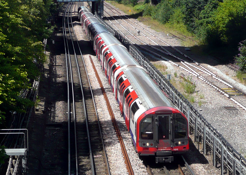

This photograph was taken from a bridge over the railway which is near to Park Royal Piccadilly line station (accessed via the underpass below the A40 Western Avenue roadway) and a short walk from Hanger Lane Central line station.
On the far left is the closed New North Main Line - at one time this was a GWR main line used by express trains between London Paddington, Birmingham Snow Hill and Merseyside (Birkenhead / Wirral).
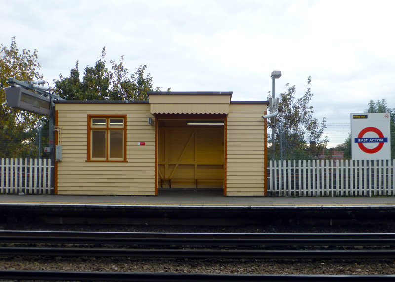 |
|
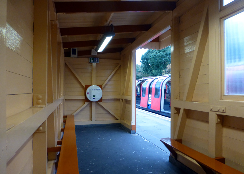 |
|
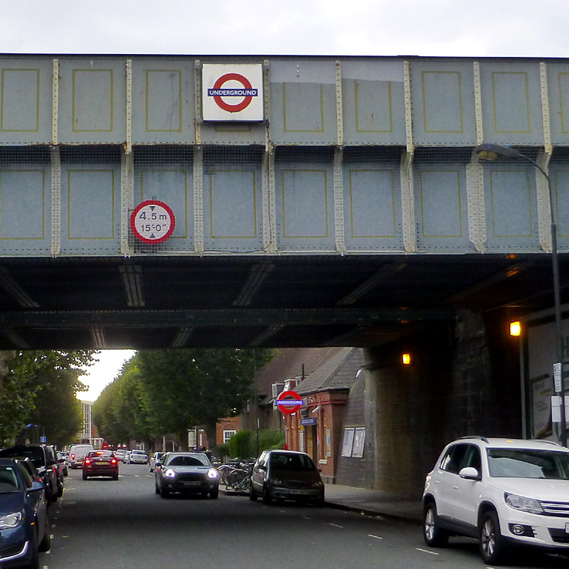 |
From the street it is possible to see that there are actually two railway bridge over the road - the bridge nearer the station is used by Central line trains,
the bridge nearer where I took this photograph was used by GWR / British Railways goods (freight) trains and is now disused.
White City is one of the few stations on the London Underground where trains pass on the right. One of the crossovers between right and left hand running is underground, so is not visible, but the other one is in open air and located partway between East Acton and White City stations.
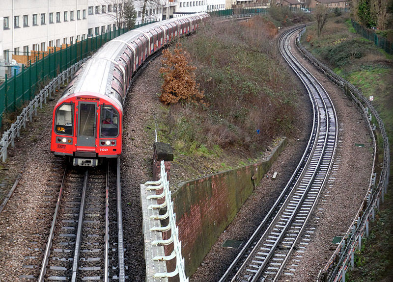

running - the westbound track passes over the eastbound track.
This was filmed from a footbridge between Bentwood Road
and Du Cane Road - I walked here from White City station.
In both views above the buildings which are located alongside the railway occupy the former trackbed of the goods (freight) line that closed in 1964.
White City station dates from 1947 and replaces another Central line station with the same name.
Two unusual features are that trains here pass on the right and this is one of several London Underground stations which have 3 tracks and 4 platforms - normally the centre track
is used for trains which terminate here with the doors first being opened on the correct platform for trains that continue further along the line and then open on the other side
for passengers travelling in the other direction.
Despite the slightly longer walk this is a better station for the Westfield shopping centre than Shepherds Bush. This is partly because the platforms and passageways are much wider, and hence much less crowded and also as it is nearer the newer sections of the shopping centre.
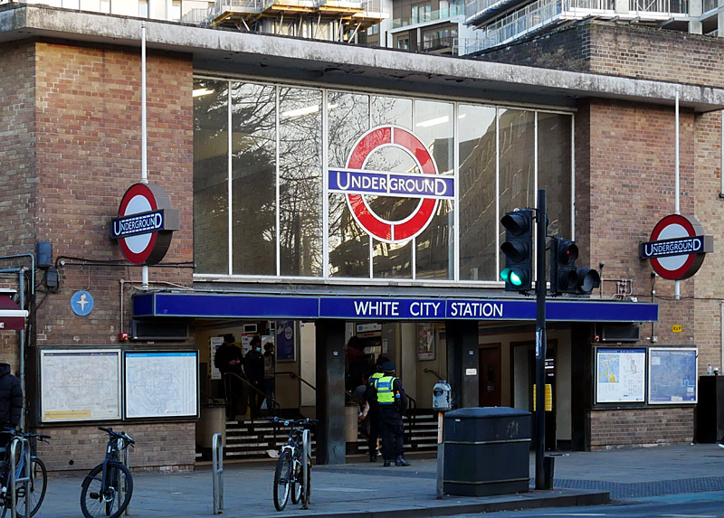
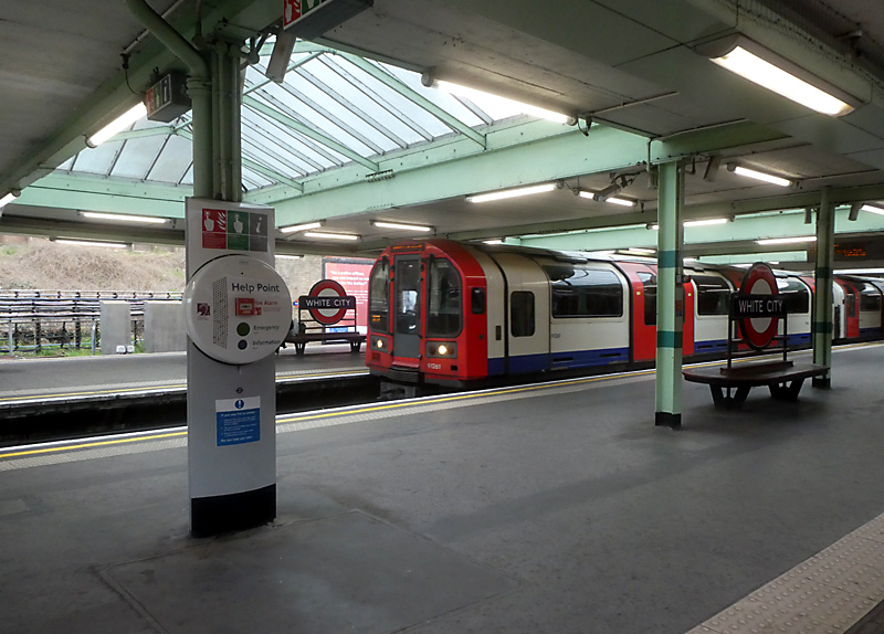
A short walk away is Wood Lane station which is served by Hammersmith & City and Circle line trains
and a little further beyond Wood Lane station is the large Westfield shopping centre.
The out of station interchange (OSI) system means that passengers paying fares using PAYG are allowed to change trains by walking between Wood Lane and White City stations and then continue their journey at no extra cost. (Touch-out when leaving the station and touch-in when arriving at the other station). There is a generous time limit in which this journey must be completed, so people who walk slowly should not worry. However this time limit does not allow for going shopping at Westfield.

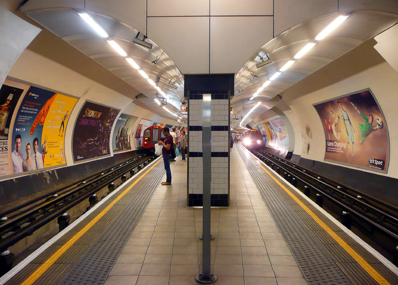
eastern end of Shepherds Bush station.
The narrow platforms and passageways make this station feel crowded and often passengers going to the nearby Westfield shopping centre will feel happier using the more spacious White City station.
Central London:
Several stations show evidence of the platform lengthening works from 1938/9. Look for a widening of the station tunnel diameter partway along the platform.
Holland Park (eastbound) is a good example of this.
When the central London portion of the Central line was built its tunnels followed the streets above them. Because some roads were very narrow some stations (eg: St Pauls, Chancery Lane) have platforms separated vertically (one above the other) rather located side-by-side. In addition, the St Pauls - Bank - Liverpool Street section includes many sharp curves, - this too is because the line mirrors the historic street pattern of that very old part of London. This explains the sharply curved station platforms at Bank, as seen below.
When the Central London Railway was first opened in 1900, many of the station buildings were built to a similar and distinctive format by Harry Bell Measures. Their design brief included a flat roof in the hope that commercial development would take place on top - thereby creating a rental income stream - and whilst this has happened at other stations the station building at Holland Park remains as built.
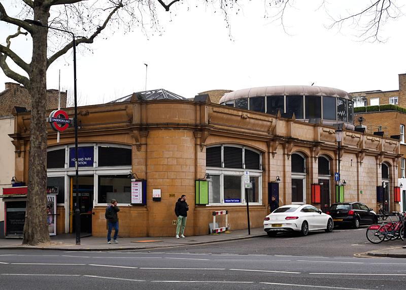
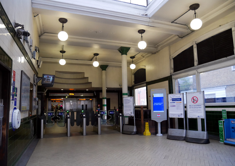
At the far end can be seen two lifts.
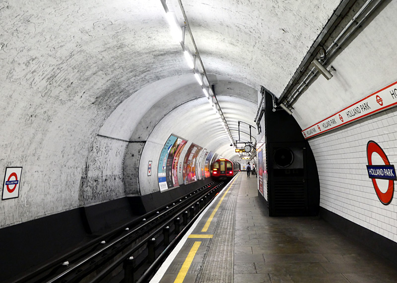
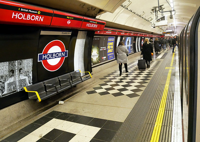
This station is very close to the British Museum and it has been decorated with murals that depict some of the ancient
Egyptian and Roman antiquities which can be seen there.
The designer was Allan Drummond.
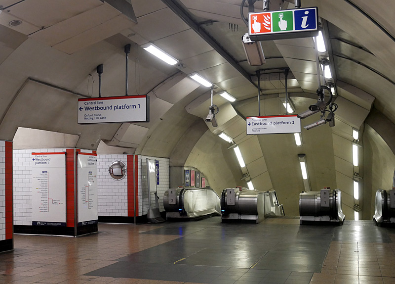
In British English the word subway (on the sign on the metal railings) refers to a subterranean passageway (such as is used to cross a road) and not a train service. These two entrances lead to the main station building on the other side of the road.
Usually stations were built like this because it meant the platforms were wholly below the roads.


Curved platforms pose a special problem as they have to allow for the ends of the carriage to "overhang" and depending on the sharpness of the curve this can result in large gaps between the train and the platform.
On inside curves (above left) the gap will be at the carriage ends whilst on outside curves (above right) the gap will be the centre of the carriage.
East London:
The east London part of the Central line (east of Liverpool Street station) includes both 'new build' tube tunnels that opened in the 1940s and
sections of railway which were built between 1856 and 1903 - which was in the steam locomotive era.
This combination of new and old offers a wealth of architectural styles of national importance spanning over 100 years of railway operations.
Liverpool Street - Leyton is all in tunnel, except for Stratford station where Central line trains rise to the surface for the station.
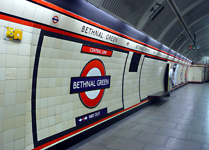

The section from Leyton to Epping and round the northern side of the loop to Newbury Park is a former steam railway which only became part of the Underground in the 1940's.
The last British Railways diesel train to Epping ran in 1970 and the track connection between the Central line and the main line railway (which was near to Leyton station) has been removed.
There used to be a small goods depot (freight yard) at the western end of Leyton station and at off-peak times all Central line trains (eastbound and westbound) called at the westbound platform so that the track alongside the eastbound platform could be used by the (steam) locomotive shunting the wagons in the goods depot.
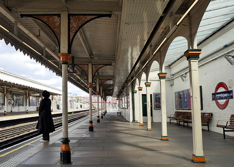

Central line with 'steam train era' historic features.
This station was opened in 1856,
the first tube trains served it in 1947.
This station is to be rebuilt in 2025
with lifts making it fully accessible.
An eastbound Central line train is passing by and (on the bridge) there is a Class 710 London Overground 'Goblin' / Suffragette line train.
The Central line has three tracks here - one for eastbound trains and two for westbound trains - one each from the two westbound platforms at Leytonstone station.
A Little History
The route between Leyton and Loughton was built by the Eastern Counties Railway in 1856 - seven years before the first section of the London Underground (ie: Metropolitan Railway) opened.
In 1862 the Eastern Counties Railway merged with other railways in the East Anglia part of England to form the Great Eastern Railway (GER) and in 1865 the GER opened a single track railway between
Loughton, Epping and Ongar. The Loughton - Epping section was converted to twin track in 1892. In 1923 the GER became part of the LNER (London & North Eastern Railway).
As part of the 1935 - 1940 New Works Programme electrification and replacement of steam trains by electric tube trains began in 1938 but the project was delayed by WW2. The first electric tube trains started carrying passengers (as far as Stratford) in 1946. The project was then completed in several stages with it being 1949 before the (by then British Railways) steam train service between Loughton and Epping was replaced by electric tube trains. It was only in 1957 that electric tube trains finally reached Ongar.
Leytonstone station was significantly rebuilt in the 1930s. It has two entrances (one each side of the tracks) which lead to a ticket hall directly below the tracks at the western end of the station. There are three platforms - a side platform for eastbound trains and an island platform for westbound trains. Especially at busy times it is usual to see two westbound trains arriving at the same time - one each from Snaresbrook and Wanstead stations.
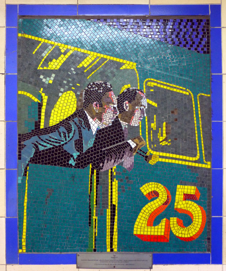
A scene from No.17. |
|

Alfred Hitchcock with Marlene Dietrich and a scene from Rear Window. The building in the Rear Window is the Green Man pub which is located at the north end of Leytonstone High Road. |
|
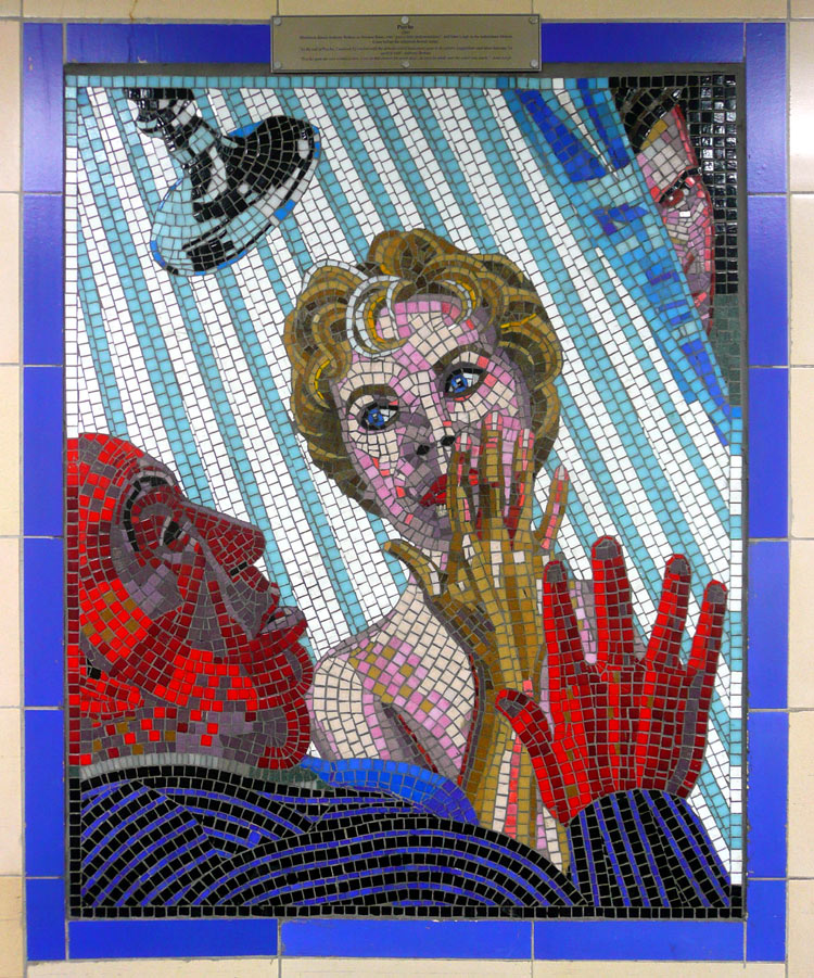
A scene from Psycho. |
Also at Leytonstone are two bus stations - one on each side of the tracks. These are used by different bus routes which travel to different parts of London.
A distinctive feature at this station are the 17 mosaic murals which adorn the entrance passageways. These murals depict scenes from films made by the famous film director Alfred Hitchcock, who was born in Leytonstone.
More information about and photographs of these murals can be found at this link:
http://www.thejoyofshards.co.uk/london/hitch/

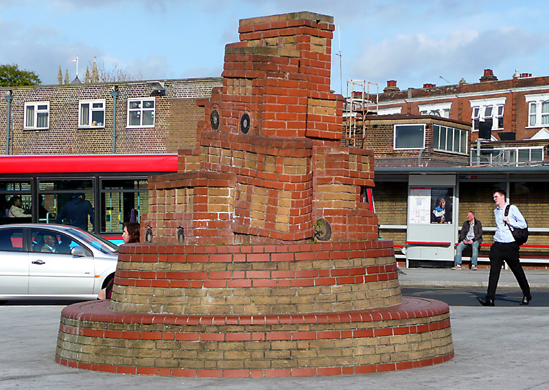
The train on the left has come from Snaresbrook station whilst the train on the right has come from Wanstead station.
Trains Terminating at Leytonstone
Sometimes eastbound trains end their journeys at Leytonstone. Usually this is in a platform that is normally used by westbound trains and therefore eastbound passengers travelling beyond Leytonstone will
usually find it more convenient to wait for the next eastbound train at Leyton, as otherwise they will have to walk to one end of the platform and then use two stairways to reach the eastbound platform.
The Route To Epping
Many stations on the Epping route are a distance apart and the trains travel more quickly than in central London. Plus there are nice views of suburban London and the countryside.
Between South Woodford and Woodford the railway crosses over a busy roadway which is 5 lanes wide in each direction. This is where the M11 motorway meets the A406 North Circular Road. When it opened the road had a 70mph / 120km/h speed limit, but since the anti-car politicians came to power the speed limit was reduced by 30% (to 50mph / 80km/h) and nowadays there are digital speed cameras as well!
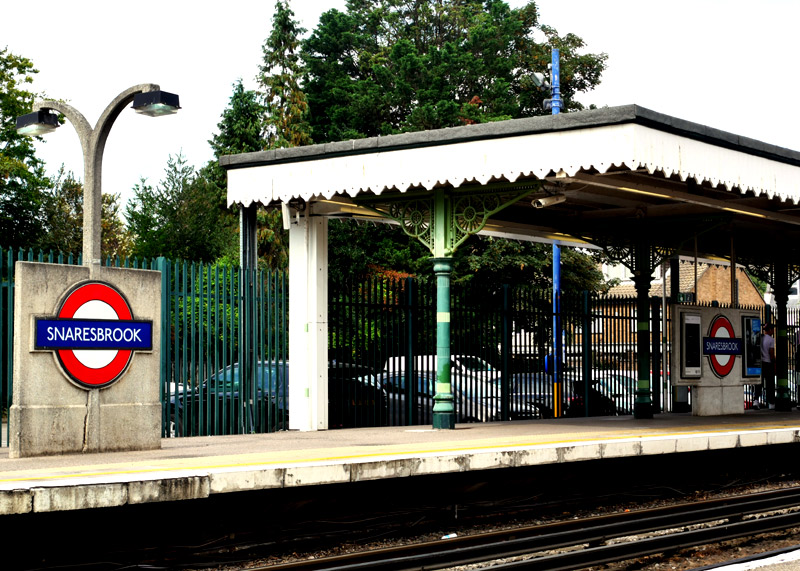
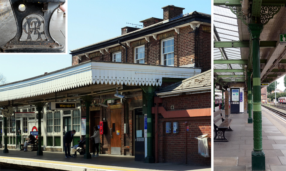
The station name panels facing the former bay platform are blank.
Inset: Some platform seats at this station feature the GER (Great Eastern Railway) logo in the metal support brackets.
Right edge: A closer view showing the ornate ironwork on a platform canopy support column - photographed on the westbound platform.
Although Snaresbrook dates from 1856 the bay platform alongside the eastbound platform dates from 1893. This was closed when electric tube trains replaced steam trains in 1948. As with many stations on the eastern side of the Central line the former goods yard (and at this station the trackbed for the former bay platform) are now used as a station car park.
Loughton was rebuilt in the late 1930's and is perhaps the most significant Art Deco station at the eastern end of the Central line. It has 3 tracks and 4 platforms. For many years after the Central line had taken over the normal passenger services special British Railways excursion trains (powered by steam or diesel locomotives) would travel from Loughton taking passengers to seaside and other destinations - south coast seaside resorts were reached via the East London line.
Debden was partially rebuilt in the 1970s and in 2021 the installation of two lifts plus other works saw it become the 82nd fully accessible station on the London Underground.
The section of railway between Buckhurst Hill and Epping is outside of London - in the adjacent county of Essex. Buckhurst Hill, Theydon Bois and Epping are largely intact heritage stations. Although Buckhurst
Hill opened in 1856 its buildings date from 1892. A few photographs dating from the 1990s showing some heritage features at Buckhurst Hill station can be found at this link...
http://citytransport.info/BuckhurstHill.htm Unfortunately since I
took these photographs the lovely frosted windows with the writing have been replaced with plain glass.
Epping is a small market town some miles outside of London - it is even outside the M25 orbital motorway. The journey to Epping is through open countryside.
The single-track railway between Epping and to Ongar closed in 1994. More recently however it was reopened as a private museum railway which uses steam and diesel trains. Timetable and fares information for
the Epping Ongar Railway (EOR) can be found at this link: http://eorailway.co.uk/
Woodford - Hainault Shuttle
The service between Woodford and Hainault (via Chigwell) operates as a shuttle - every 20 minutes - with some additional through trains from central London going to
Hainault depot. These show the destination Grange Hill via Woodford. These extra trains usually run near the end of the rush hour.
Passengers who want to go to Roding Valley, Chigwell and Grange Hill will usually find that it is better to catch a train that is going to Epping / Debden / Loughton (ie: to catch a train that travels via Snaresbrook) and change trains at Woodford.
A short walk from Roding Valley station along Station Way is a bridge over the railway which I've often used. The bridge is actually over the main Epping line but in the distance (looking south)
it is possible to see where the Hainault loop joins the Epping route. A link to a Google map showing this location can be found below
https://maps.google.co.uk/maps?hl=en&ll=51.616504,0.042325&spn=0.002905,0.006899&t=m&z=17
Between Roding Valley and Chigwell a farm can be seen out the train's window (look to the north, away from London). This is easiest to see in the winter, when the trees do not have any leaves. Nearby the railway crosses over the M11 Motorway.
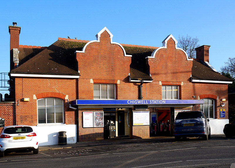
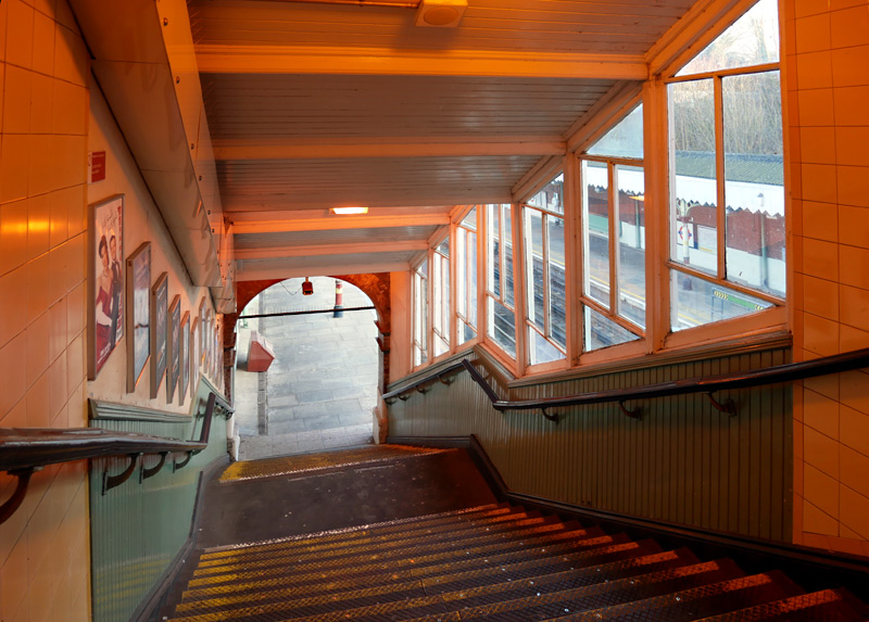
Also visible are some self service ticket vending
machines (left entrance) and ticket gates (right entrance).
For many years the section of track between Hainault and Woodford was used to test the automation system which was later used on the Victoria line. Every one of the Victoria line's
1967 Tube Stock trains was tested here, alongside the small fleet of 1960 Tube Stock trains which provided the main service.
The last British Railways goods (freight) trains ran in the mid
1960s and this meant that for a few years automated tube trains were travelling on the same tracks as diesel hauled goods trains! The goods trains joined the Central line at Leyton and went via
Snaresbrook and Woodford to Epping or Newbury Park (via Hainault).
In the 1970's fully automated / unstaffed tube train operation was tested on this section of the Central line, albeit not in
public service. This project was called FACT - Fully Automatic Control of Trains. It is understood to have concluded in 1978 - due to a lack of finance for the project.
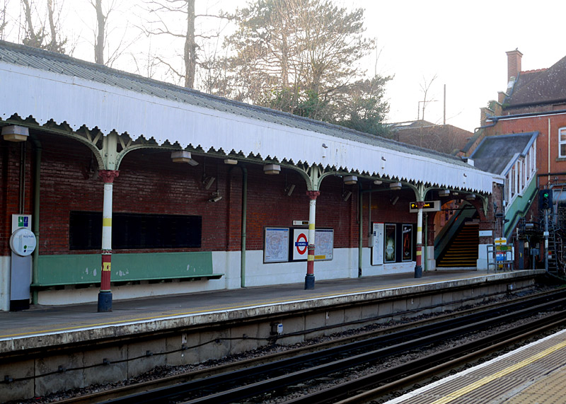
Platform view at Chigwell - the platform canopy has been reduced in width (as a cheaper alternative to costly repairs?) so that it no longer reaches the platform edge.
As far as I'm aware, nowadays the extra long wall-mounted bench seats, as seen in the platform view above-right, are only found at Chigwell and Newbury Park stations - both of which were built by the Great Eastern Railway in 1903.
There is a large depot between Hainault and Grange Hill. Part of this can be seen from the platforms at Hainault station - or by travelling between these two stations.
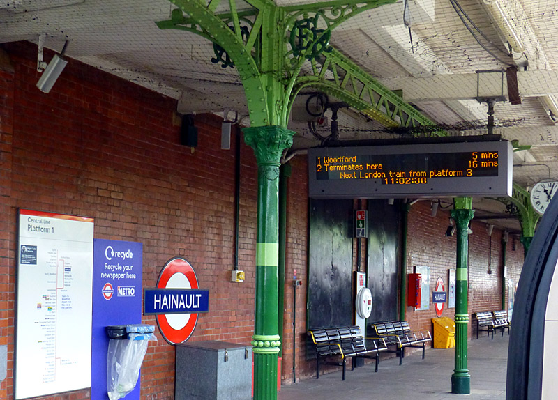
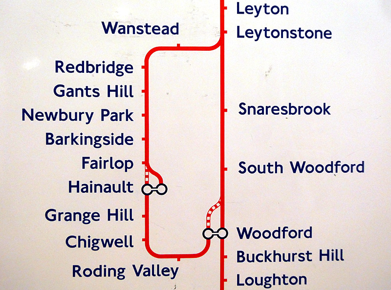
usually leave from platform No.1.
shuttle plus that sometimes there are also a few through trains.
Hainault Loop: The line between Leytonstone and Newbury Park is underground, it was built in the 1930’s and during the 1939-1945 war was used as a munitions factory with a narrow gauge railway in the tunnels.
The entire Hainault loop is in zone 4.
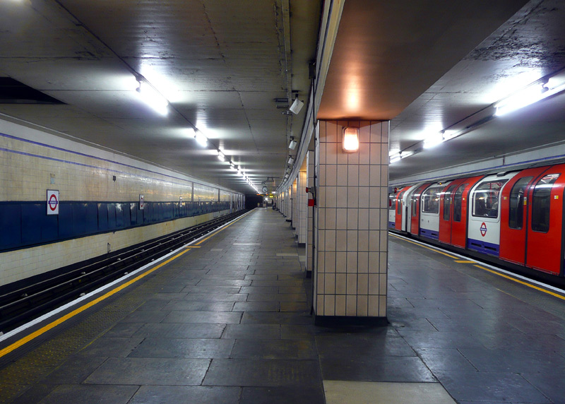
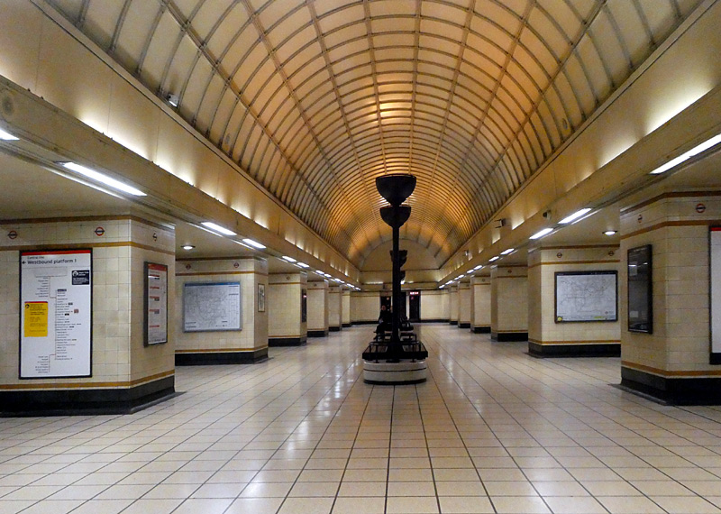
Gants Hill station, which is themed upon some stations on the metro in Moscow, Russia.
Gants Hill is famed for having a large arched waiting area between the platforms which is similar to some stations on the Moscow metro. The station is in the middle of a large roundabout and the entrance is part of the pedestrian walkway system under the roads.
Newbury Park is famed for the large arched bus shelter just outside the station which was designed by Oliver Hill in 1937 and built after WW2, opening in 1949. This shelter features a copper-covered barrel-vaulted roof. It is a Grade ll listed building and in 1951 won a Festival Of Britain architectural award. A plaque celebrating this award can be seen on the left side of the arch - and is also shown in the image below right. Note however that just because a structure is award-winning for being visually significant does not mean that it is also practical. Whilst this shelter helps keep a person dry in inclement weather, personal experience is that it is of minimal benefit on cold windy winter days. It is possible to look down upon Newbury Park station from the A12 Eastern Avenue outside the station.
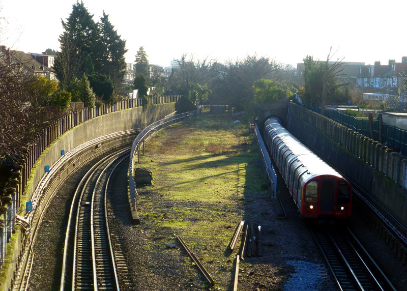
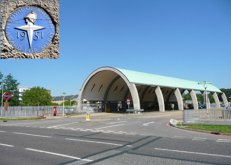
This was filmed in December 2014, looking south from the footpath alongside the A12 Eastern Avenue.
Looking in the opposite direction it is possible to look over a wall and see (and photograph) Newbury Park station.
Also visible is a sign (which is illuminated at night) advertising the presence of this railway station. This is placed where approaching traffic can easily see it (at the left edge of the photograph).
Barkingside and Fairlop are good examples of Victorian / Edwardian era stations and have a frequent train service. Near to Fairlop station is a low bridge under the railway which tall road vehicles often hit.
Barkingside is one of the grandest stations on the London Underground. This is the only London Underground station with an ornate, medieval-style Hammerbeam roof.
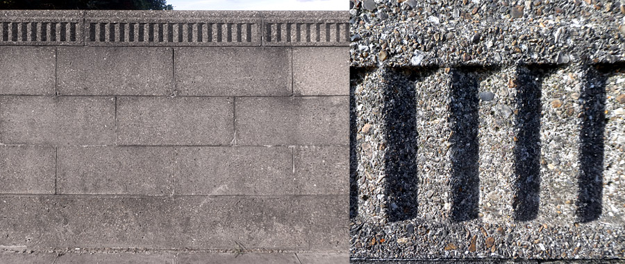
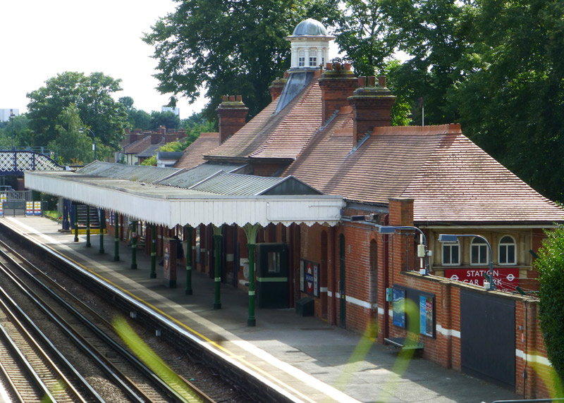
This station was opened in 1903 by the Great Eastern Railway.
Electric tube trains replaced steam trains in 1948 and the
goods depot (freight yard) closed in 1965. In the distance part
of the lattice footbridge over the tracks can also be seen.

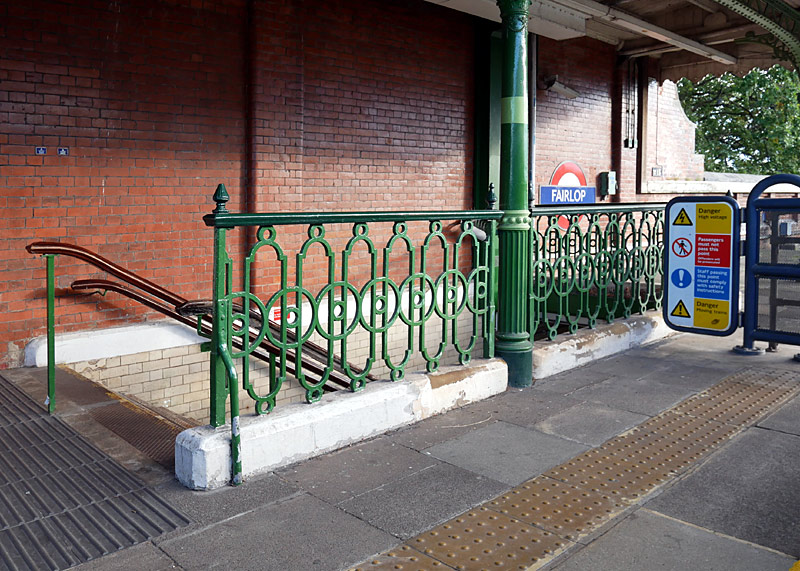
| Circle Line |
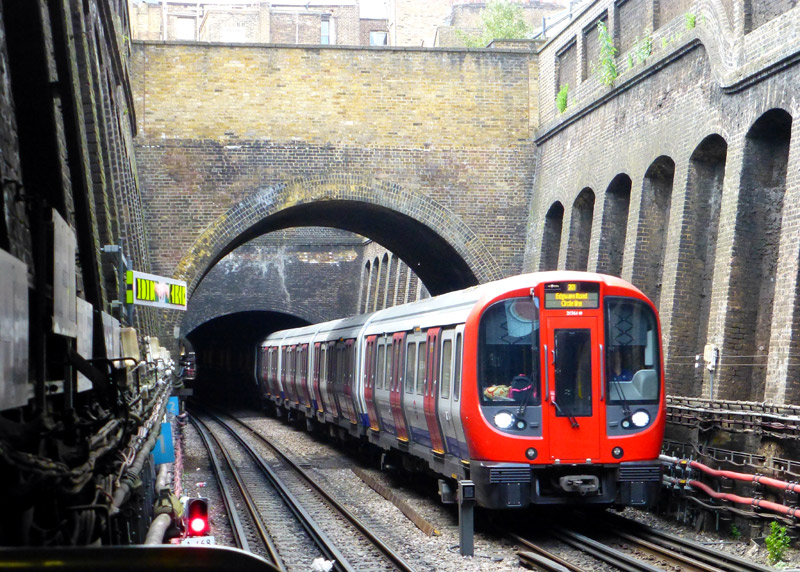
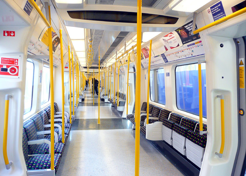
The photograph (above - left) shows an S Stock train arriving at Bayswater station. This section of railway was built during the days of steam trains and it includes many open air sections which ventilated the tunnels and allowed the smoke to dissipate.
Circle line trains use a GoA 2 (Grade of Automation level 2) semi-automatic train control system (STO) whereby the trains travel automatically from station to station but a human train driver is always present at the front of the train, with duties that include door closing and initiating station departure.
Although they all look the same there are two different types of S Stock trains.
The S7 variant have 7 cars (coaches / carriages) with only longitudinal seating.
These are used on the Circle, District and Hammersmith & City lines.
The S7+1 variant have 8 cars with only longitudinal seating.
There are very few of these trains - which are only used on the Metropolitan line.
The S8 variant have 8 cars with a mix of longitudinal and facing seats.
These are only used on the Metropolitan line.
Doors Auto-Open / Auto-Close:
At stations the passenger doors are opened by the train driver and (if not closed earlier) automatically close after 45 seconds - but are easily
re-opened using the push buttons.
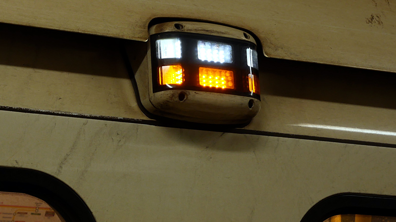
Lights on every S Stock car side:
Amber: Passenger doors are unlocked / open
White: It is time for the doors to close and the train to depart.
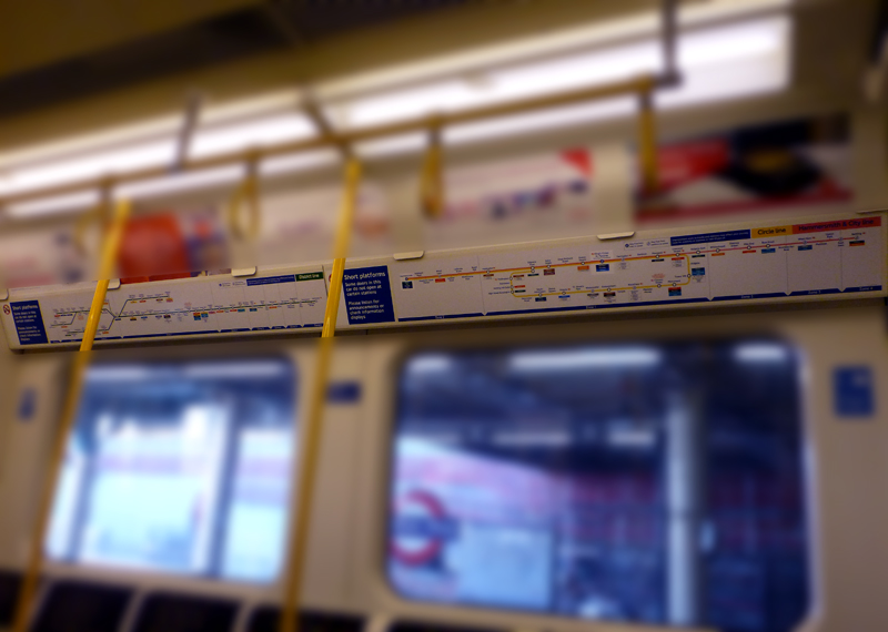
S7 trains have two route maps:
District line (left);
Hammersmith & City and Circle lines (right).
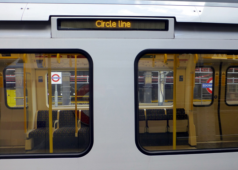
(especially visitors to London)
because they look at the wrong map!
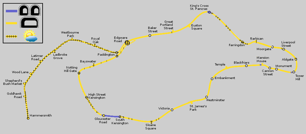
Map modified by me, original source & license: Ed g2s / DavidCane / Wikipedia encyclopædia CC BY-SA 3.0 http://commons.wikimedia.org/wiki/File:Circle_Line.svg
Click map to see larger version in a new window!
| Below / Above Ground |
The main part of the Circle Line is almost entirely below ground, although many stations are partly or wholly in open air. The tunnels include many short open air sections which date from the days of steam trains when ventilation openings were needed to allow the smoke to clear. Only a few of these ventilation openings are shown on the map.
The west London section between Hammersmith & Paddington is in open air, except for the flyunder below the Great Western Main Line between Westbourne Park and Royal Oak stations.
For more information see the Hammersmith & City Line and District Line sections.
| Claustrophobia |
 Information for people who are happy to travel on trains which are above ground but experience claustrophobia
when in tunnels.
Information for people who are happy to travel on trains which are above ground but experience claustrophobia
when in tunnels.
Most of the tunnels used by Circle Line trains are wide enough for two tracks (ie: a train in each direction), however there are a few locations with narrow single track tunnels. Almost all of these are very short...
* Just outside Tower Hill and Mansion House stations,
* Kings Cross St Pancras station platforms plus station approaches / exits.
There are also two tunnels the whole way between South Kensington and Gloucester Road stations plus a very short distance west of Gloucester Road station (about the length of a train - as seen in the section which looks at the District line). These tunnels were built for two tracks each but when the track layout in the area was changed in the 1950's the tunnels used by eastbound trains were reduced to single track. However the tunnels used by westbound trains still have two tracks - one track is dedicated to Circle Line trains whilst the other track is dedicated to District Line trains.
| General Information |
Almost the entire Circle line uses tracks shared with other trains - only the sections Aldgate - Tower Hill (including the outer two platforms at Aldgate station), Gloucester Road - High Street Kensington (including platform 2 at Gloucester Road station) and platform 3 at Edgware Road station are dedicated to Circle Line trains.
Despite its name Circle Line trains no longer go 'round and round' in a circle all day.
Instead they travel from Hammersmith (former Metropolitan Railway station) in a loop around the Circle via Royal Oak, Baker Street, Kings Cross, Aldgate, Victoria and High Street Kensington stations before ending their journeys at Edgware Road station. They then retrace their route back to Hammersmith.
This means that passengers wanting to travel on trains routed between Baker Street and Bayswater must change trains at Edgware Road! However, because of the way that the various subsurface lines share tracks it will be possible travel on Hammersmith & City or District line trains for part of the journey.
It is not that trains never make through journeys, however nowadays this only happens when it is convenient for the railway operators, such as because of unplanned disruption / delays or because of weekend engineering works closing some sections of the railway.
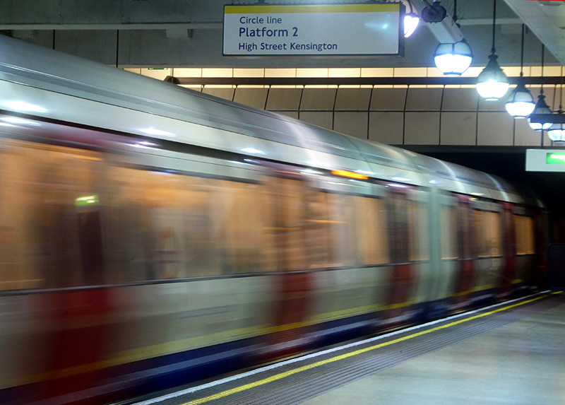
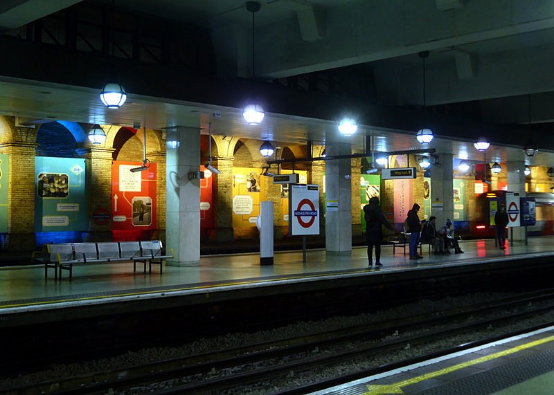
train departs from Gloucester Road station.
This view looks from the westbound District line platform,
the next platform is for westbound Circle line trains,
the far platform (with departing train) is used by all
eastbound trains and the closed platform is on the far wall.
Stations At Different Locations With The Same Names:
For various reasons three stations served by Circle Line trains are ‘duplicates’. At Edgware Road, Paddington and Hammersmith
different Underground trains call at identically named stations which are at separate locations a short walk from each other.
At Edgware Road the Circle Line (and District Line and Hammersmith & City Line) trains use an open air station that was originally built by the Metropolitan Railway. The totally separate Bakerloo Line station with the same name is a short walk away across busy roads.
At Hammersmith the Circle (and Hammersmith & City) Line trains use the former Metropolitan Railway station which remains largely as built in 1868. The other station called Hammersmith is a short distance away across some busy roads. It is used by District & Piccadilly Line trains and has been modernised with its main entrance inside a shopping centre.
At Paddington the Circle (and Hammersmith & City) Line trains which travel through Royal Oak station use the suburban platforms numbered 15 and 16 which are alongside the main line railway station. By way of contrast Circle (and District) Line trains which travel through High Street Kensington call at the Underground station that is located near the main concourse of the main line / National Rail station and (at a deeper level) is also used by Bakerloo Line trains.
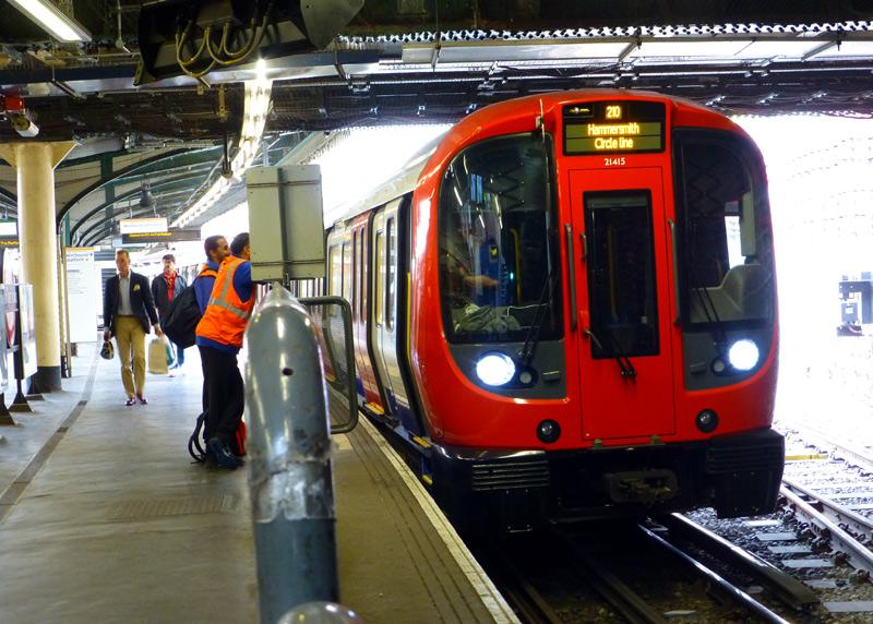
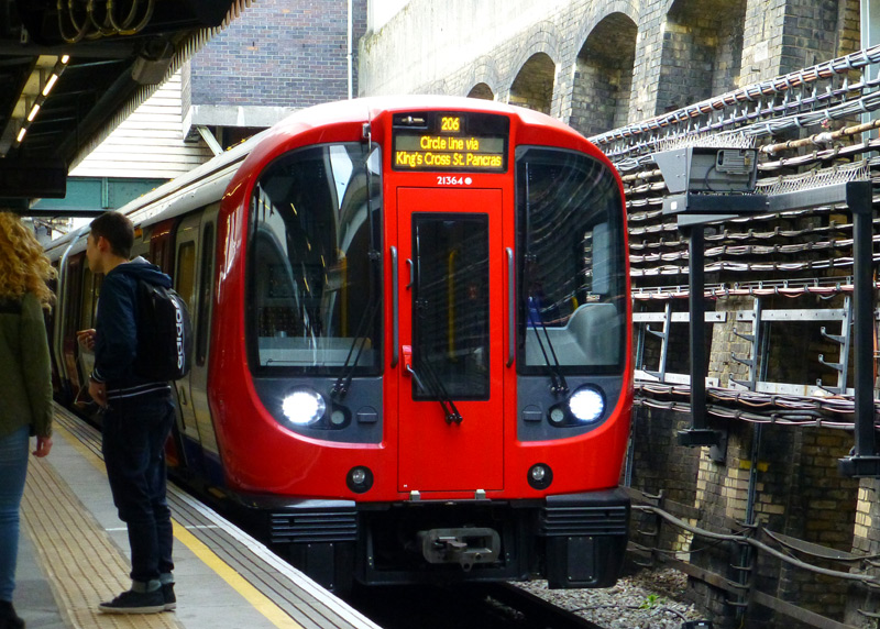
at Edgware Road station platform 4.
via Kings Cross St. Pancras, Liverpool Street, Tower Hill, etc.,
arrives at Edgware Road station platform 1.
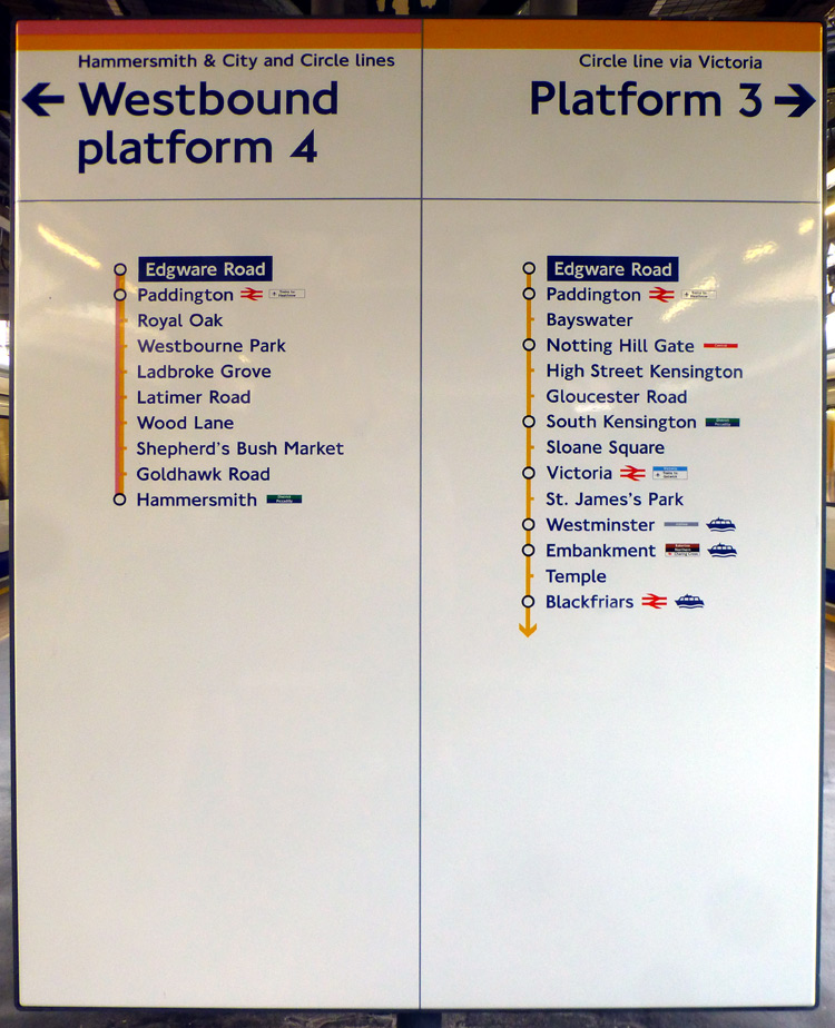
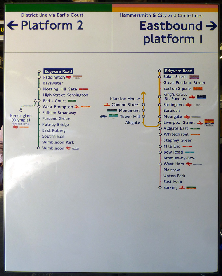 .
.Edgware Road subsurface station has four platforms, is in the open air and was built by the Metropolitan Railway. The Circle (and District) Line trains which travel via High Street Kensington usually end their journeys at the centre two platforms whilst the Circle (and Hammersmith & City) Line trains which are travelling between Royal Oak and Baker Street use the outer two platforms. The other station called Edgware Road is a short distance away across some busy roads and is used by Bakerloo Line trains.
Northbound trains approaching Edgware Road often have to queue to enter the station and sometimes the resulting tailback even delays trains before they reach Paddington station.
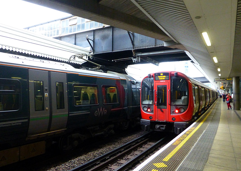
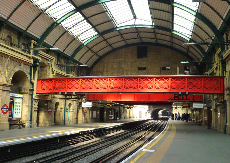
No. 15 on a journey towards Hammersmith (Met) station.
Next to it is a GWR livered Class 387 train at platform 14.
Platforms Nos. 15 and 16 are also used
by trains on the Hammersmith & City line.
In the distance it is possible to see the rear red lights of a stationary train that is queuing to enter Edgware Road station.
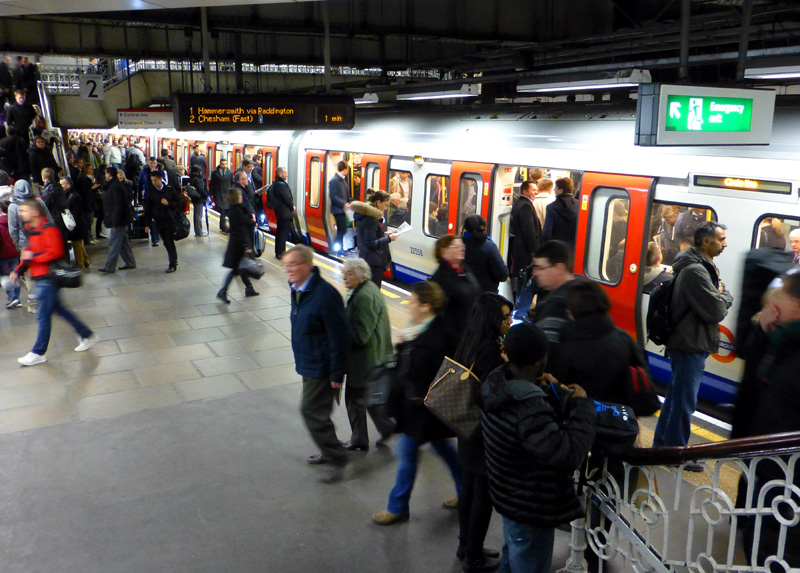
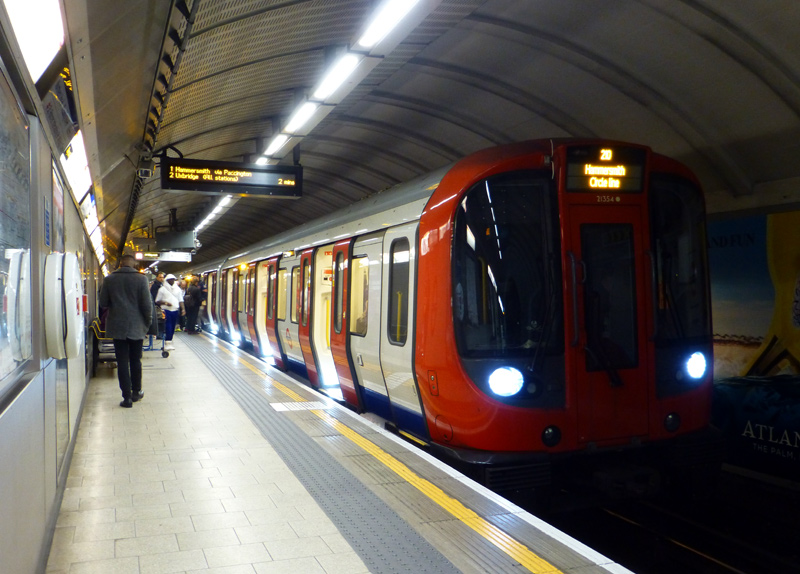
With westbound trains from stations on the northern side of the Circle Line (Liverpool Street - Great Portland Street) travelling to over 6 different destinations it is always wise to check the electronic train describer to ensure that you travel on the correct train.
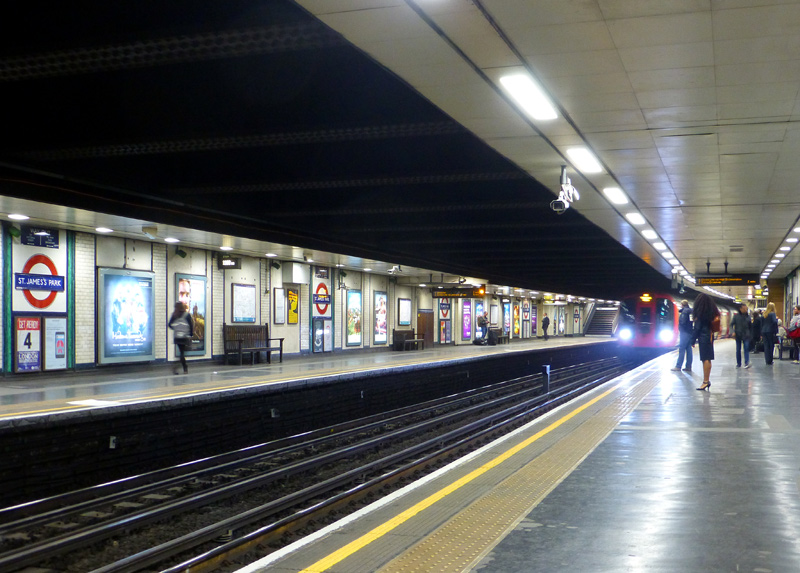
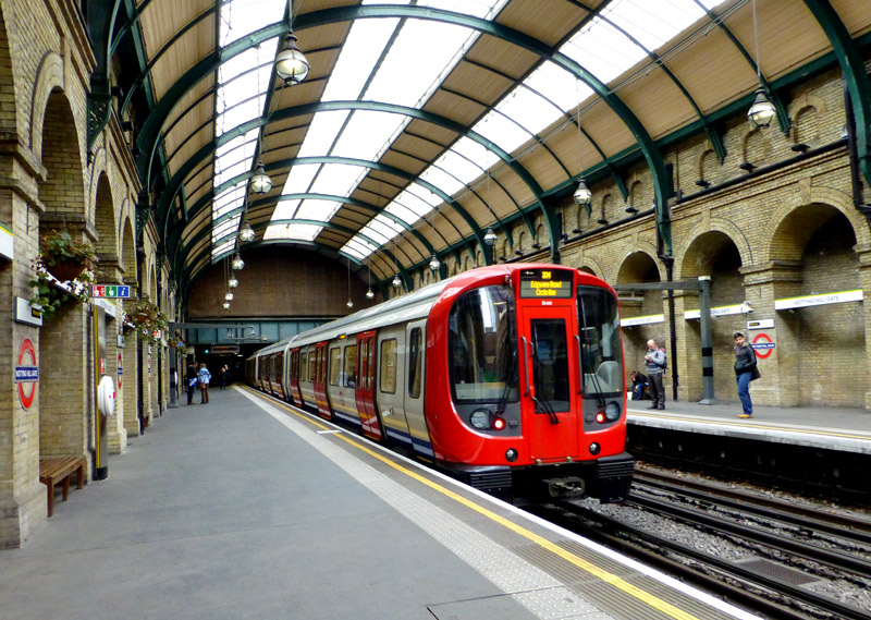
Some History: The Genesis Of The Circle Line
The creation of what was known as the Inner Circle came from a July 1863 report by a House of Lords (British Parliament, Upper House) select committee which had been asked to consider the best proposals for railways in London. This report recommended the building of an "inner circuit of railway that should abut, if not actually join, nearly all of the principal railway termini in the Metropolis." The new line almost succeeded in serving all of the termini stations, missing out only Marylebone (which did not exist in the 1860's), Fenchurch Street and Waterloo - the latter most likely because it is in south London and there was little appetite to include river crossings in the Inner Circle.
The project was so large and expected to be so expensive that in 1864 the Metropolitan Railway (MR) created a second railway company - the Metropolitan District Railway (MDR) - to help raise the required funds. It was intended that the two railway companies would merge when the works had been completed, but because the MDR was significantly less profitable (and there was a personality clash between the two Chairmen) this did not happen and instead they started to argue, eventually becoming bitter enemies.
To build the new sections of railway it was decided that the MR would build the western and eastern portions from Edgware Road station to South Kensington and from Moorgate Street station to Tower Hill, whilst the MDR would build the southern portion linking these two locations. Some historical accounts claim that the MDR considered building Tower Hill station with four platforms and for most (if not all) trains to end their journeys here.
Because both companies had their eyes on the lucrative museums and exhibitions traffic in the South Kensington area some of the tunnels around the south-western corner of the circle were built with four tracks. In addition, three stations had separate platforms for the trains operated by the MR and MDR. There were High Street Kensington, South Kensington and Gloucester Road.
Unfortunately the MDR ran out of money and construction could not proceed further east than an unplanned four platform terminus station at Mansion House.
In 1871 construction works had become far enough advanced to allow for Inner Circle trains to be travelling between Moorgate Street and Mansion House via High Street Kensington.
The MR was slow to build east of Moorgate Street, two of the reasons for this being the expense of building through the City area and the realisation that the planned circular railway would see its income and profits being shared with the MDR (ie: going down!). It did not help that by now funding the works that had been completed had left both railways in parlous financial conditions and therefore their main focuses had turned away from completing the Inner Circle to starting new services in other parts of London where there were prosperous suburbs that could be served much more profitably.
In 1871 construction works had become far enough advanced to allow for Inner Circle trains to be travelling between Moorgate Street and Mansion House via High Street Kensington.
Building the new section of railway in west London using the cut and cover system required the demolition of the two houses located at 23 and 24 Leinster Gardens, which is near to Bayswater station.
The plan was that the area where these properties had stood would be left open, so that it could act as a short ventilation portal for the tunnels. This meant that it was not possible to rebuild these two dwellings after the tunnels had been built.
Rather than use a plain brick wall to fill-in the gap between the remaining houses it was decided that a facade which resembles the two missing properties should be erected. This fake frontage is five feet (about 1.5 metres) thick. This was done to help maintain the ambiance of a street lined with upper class fashionable terraced houses.
In the 1930's a fraudster took advantage of these fake houses by quoting one of them as the location of an evening dinner and ball.
The hapless guests only realised that they had been duped when they arrived at the scene and discovered the reality of the address on the tickets. With them having paid an expensive 20 guineas for each ticket the fraudster must have made a lot of money!
The UK only stopped using the guinea as a unit of currency after decimalisation in 1971, which is when we converted from £sd (Pounds, shillings and pence) to just £p (Pounds and pence). A guinea was worth £1 1s [shilling] (or 21s or 21/-). Since £1 comprised 20 shillings so therefore 20gns would equate to £21. At decimalisation a guinea became £1.05.

The cut and cover railway tunnel for which the original properties were demolished. Seen by looking over a high brick wall in a nearby road named Procter Terrace. This road is parallel to Leinster Gardens.
Image & license: Duncan / Wikipedia encyclopædia CC BY 2.0
https://commons.wikimedia.org/wiki/File:Behind_24_Leinster_Gardens_(8616447539).jpg
The MR was slow to build east of Moorgate Street, two of the reasons for this being the expense of building through the City area and the realisation that the planned circular railway would see its income and profits being shared with the MDR (ie: going down!). It did not help that by now funding the works that had been completed had left both railways in parlous financial conditions and therefore their main focuses had turned away from completing the Inner Circle to starting new services in other parts of London where there were prosperous suburbs that could be served much more profitably.
The lack of progress annoyed many city financiers and in 1874 they created the Metropolitan Inner Circle Completion Railway Company (MICCRC) to build the missing link.
a.gif)
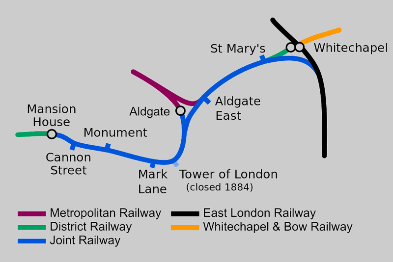
Map modified by me, original source & license:
Edgepedia / DavidCane / Wikipedia encyclopædia CC BY-SA 3.0
http://commons.wikimedia.org/wiki/File:Circle_Line_(1872).svg
in 1884 which completed the inner circle and connected them
to the East London Railway.
Map modified by me, original source & license:
Edgepedia / DavidCane / Wikipedia encyclopædia CC BY-SA 3.0
http://commons.wikimedia.org/wiki/File:Completing_the_Circle.svg
Even though the MICCRC was unable to raise sufficient finance the mere thought of competition from it encouraged the MR to quickly build the section between Moorgate Street and Aldgate. By now the MR wanted to extend its services to join the East London Railway (ELR) [this is the route which included the Brunel tunnel below the River Thames] and the South Eastern Railway (SER) which operated to the south of London*, so in conjunction with the MDR it bought out the MICCRC. In an effort to ensure that (this time) the circular service was actually realised the Houses of Parliament added a clause to the enabling legislation for the revised plans and new line to the ELR [the 1879 Metropolitan and District Railway (City Lines and Extensions) Act] which required the operation of a fully circular service and gave both the MR and MDR the legal right to run their trains on sections of railway owned by the other company. The Parliamentarians were not taking chances with possible future arguments! To help the two railways complete the project extra finance was made available from the City and the Metropolitan Board of Works.
*The Chairman of the MR, Sir Edwin Watkin, was also a director of about a dozen other railway companies, including the ELR, the SER plus the French Chemin de Fer du Nord and was instrumental of the creation of the Great Central Railway Main Line which ran services between London and Manchester via Sheffield, Nottingham and Leicester. Watkin had ambitious plans for through trains between Manchester in northern England and France via a Chunnel Tunnel. He actually started building this tunnel but Parliament, citing fears of a possible French invasion of the British Isles, forbade its construction and forced him to stop.
Construction of the Inner Circle restarted in 1881. Building from Aldgate, and using its unexpired legal powers from many years previously, the MR reached Tower Hill first - in 1882. At Tower Hill the MR hurriedly built a temporary station [in just three nights and two days!] and named it Tower Of London. The MDR's extension from Mansion House to a different Tower Hill station was completed in 1884, and within just a few weeks the long awaited fully circular services finally began. (It could be said that the speed in which things were built and opened in those days puts to shame how slowly things are done in the present era). However the arguments between the two railway companies still continued. The MDR pretended that the Tower of London station did not exist and refused to sell tickets to it. So within a week it ended up closing.
At first all stations served by the new service were equipped with a booking (ticket) office from each of the two railway companies. The aim behind this was because the fares income was apportioned between them on the basis of the number of passengers who travelled over each section of railway, and the two companies always wanted to ensure that passengers bought tickets which gave them the greater share of the income - even if it meant that the passengers were sold tickets for the longer and slower route around the Circle. This situation was possible because (especially at first) one railway company operated the clockwise trains and the other company the anti-clockwise trains.
In 1933 Parliament merged most of London's public transports into a new organisation called the London Passenger Transport Board. This ended the enmity between the MR and what by now was known as the District Railway. The new owners did not like being subjected to the legal requirement to operate an Inner Circle service which travelled round and round in circles and within 16 months ensured that it was repealed. This suggests that even then there was a desire to change this service so that it served two terminal stations. Perhaps if the Parliamentarians had realised the future possibilities they would have refused to repeal the statutory obligation for the full circular service.
Although many years later, the Circle was broken in 2009, with Circle Line trains now travelling from Hammersmith via Shepherds Bush around the loop as far as Edgware Road and then retracing their journeys. This change has significantly inconvenienced passengers whose journeys between north and west London now require an enforced change of trains at Edgware Road station. However, since the break in the Circle is to the north-west of the line it does mean that the City financiers retain their through services in and around the City area - thereby meaning that (for them) the spirit of the 1879 requirement to operate a fully circular service has been retained.
London's Other Circle Lines
Over the years London has had other 'Circle' railway services, however these all only form(ed) partial circles - so that trains did/do not fully encircle London. These were the Super Outer Circle, the Outer Circle, the Middle Circle and a service which is not named or marketed as a Circle.
The Super Outer Circle was a short lived service from St Pancras station via a circuitous route via north and west London to the District Railway's Earls Court station.
The Outer Circle started in 1867 at Broad Street station and followed what nowadays is known as the North London Line and West London Line to Kensington Olympia, from where the destinations varied over the years and at different times included Victoria station, Mansion House and Earls Court. In later years this service only ran between Willesden Junction and Earls Court and in the 1920 was electrified (using the same system as the Underground) as part of the London and North Western Railway's extensive suburban electric services to the north and west of London. This service closed as a result of WW2 but a very similar service is now running again as part of the London Overground network.
The Middle Circle began in 1872 as a Great Western Railway service between Moorgate Street and Mansion House which in west London travelled via what nowadays is the West London Line and Kensington Olympia station. This service ended in 1905 and was replaced by an electric Metropolitan Railway service between Kensington Olympia and Aldgate or Whitechapel (different trains served different destinations). The railway electrification was done by the GWR as part of the project to electrify the Hammersmith & City Railway which it jointly owned with the Metropolitan Railway. Later the service was cut back again to become a shuttle between Edgware Road and Kensington Olympia, and it ended completely in 1940 as a result of WW2 bomb damage.
A map showing the above Circle services plus the Inner Circle can be found at this link:
http://commons.wikimedia.org/wiki/File:The_Circle_Routes_of_Victorian_London.png
In 2012 London Overground starting running what amounts to a new outer circle service that travels via the §East London Line, South London Line, West London Line and North London Line. However, instead of through trains this is operated in several segments with passengers who want to make a complete circuit needing to change trains - at Clapham Junction, or at Highbury & Islington / Canonbury plus any station between Dalston Junction and Surrey Quays. Note that travelling complete circles using these services should not be attempted if paying fares using an Oyster card in PAYG mode or a Contactless payment device. The PAYG payment system is not designed for such a journey and it is likely that the result will be a penalty fare. Instead paper One Day Travelcards are required (or weekly Travelcards which include travel in zones 1 and 2), or since the London Overground Network is part of the main line railway (National Rail) the All Line Rover, BritRail and Eurail passes can also be used on these trains.
§Highbury & Islington - Clapham Junction portions of the Mildmay and Windrush lines, as per the 2024 line names given to the London Overground Network.
| District Line |
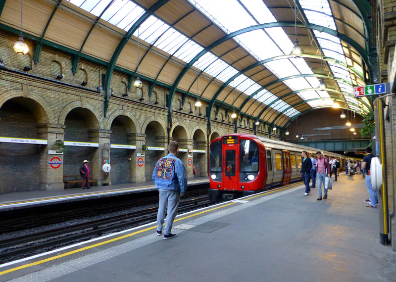
The photograph (above left) shows a District Line S7 Stock train travelling to Wimbledon arriving at Notting Hill Gate station.
The central London and east London sections of the District line have been converted to a GoA 2 (Grade of Automation level 2) semi-automatic train control system (STO) whereby the trains travel automatically from station to station but a human train driver is always present at the front of the train, with duties that include door closing and initiating station departure. In west London the District line is still driven in the traditional way by a real human train driver.
S Stock Variations:
Although they all look the same there are two different types of S Stock trains.
The S7 variant have 7 cars with only longitudinal seating.
These are used on the Circle, District and Hammersmith & City lines.
The S7+1 variant have 8 cars with only longitudinal seating.
There are very few of these trains - which are only used on the Metropolitan line.
The S8 variant have 8 cars with a mix of longitudinal and facing seats.
These are only used on the Metropolitan line.
Lights on every S Stock car side:
Amber: Passenger doors are unlocked / open
White: Doors about to close / it is time for the train to leave the station
(white only works in areas where there is computerised train control)
S7 trains have two route maps:
District line (left);
Hammersmith & City and Circle lines (right).
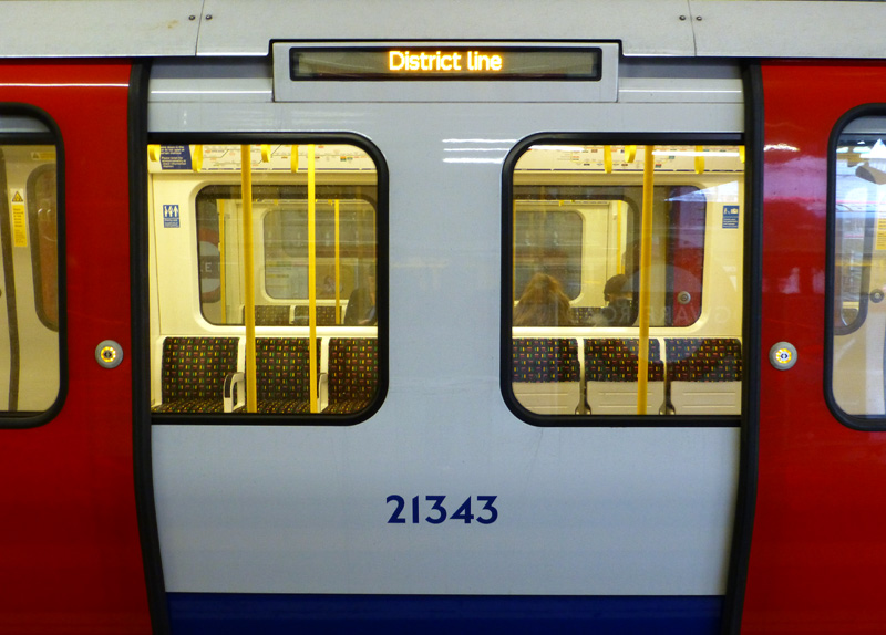
(especially visitors to London)
because they look at the wrong map!
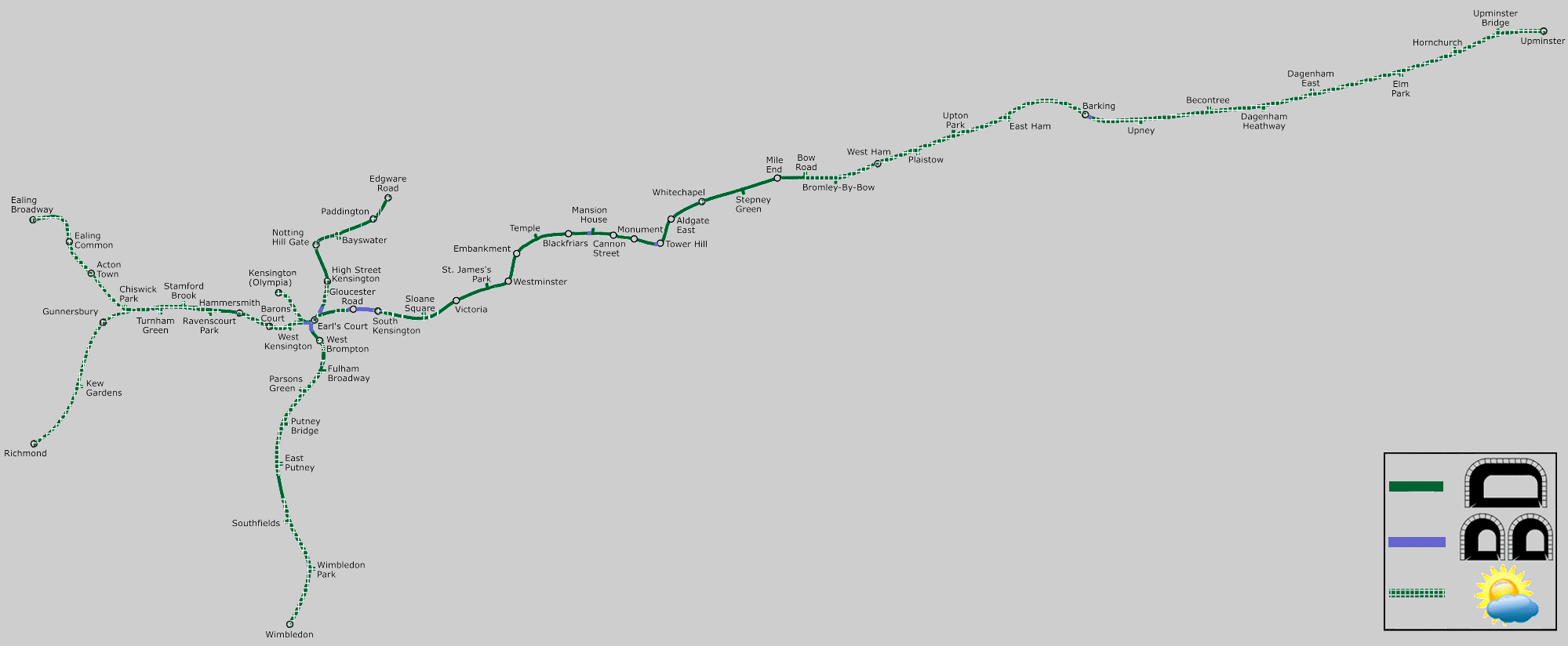
Map modified by me, original source & license: Ed g2s / Wikipedia encyclopædia CC BY-SA 3.0 http://commons.wikimedia.org/wiki/File:District_Line.png
Click map to see larger version in a new window!
| Below / Above Ground |
In east London in tunnel as far as Bow Road and then in open air all the way to Upminster - except for a short flyunder used by westbound trains at Barking.
In west London in open air from West Kensington to Richmond / Ealing Broadway, West Brompton to Wimbledon (although there is a short tunnel which does not have a station) and on the Olympia branch.
The Edgware Road - Earls Court section is almost entirely below ground from 'near to' Edgware Road to High Street Kensington. The stations on this route - and the sections of tunnel between them - also include many short open air sections; this dates from the days of steam trains when ventilation openings were needed to allow the smoke to clear.
Bow Road and High Street Kensington stations are unusual because they are partially in tunnel and partly in open air.
| Claustrophobia |
Information for people who are happy to travel on trains which are above ground but experience claustrophobia
when in tunnels.
Most of the tunnels used by District line trains are wide enough for two tracks (ie: a train in each direction), however there are a few locations with narrow single track tunnels. Almost all of these are very short...
* Westbound trains from Upney approaching Barking (flyunder - to pass below other tracks),
* Just outside Tower Hill and Mansion House stations,
* Northbound trains West Brompton - Earls Court (flyunder - to pass below other tracks),
* Southbound trains High Street Kensington - Earls Court (flyunder - to pass below other tracks).
There are also two tunnels the whole way between South Kensington and Gloucester Road stations plus a very short distance west of Gloucester Road station (about the length of a train - as seen below). These tunnels were built for two tracks each but when the track layout in the area was changed in the 1950's the tunnels used by eastbound trains were reduced to single track. However the tunnels used by westbound trains still have two tracks - one track is dedicated to Circle line trains whilst the other track is dedicated to District line trains.
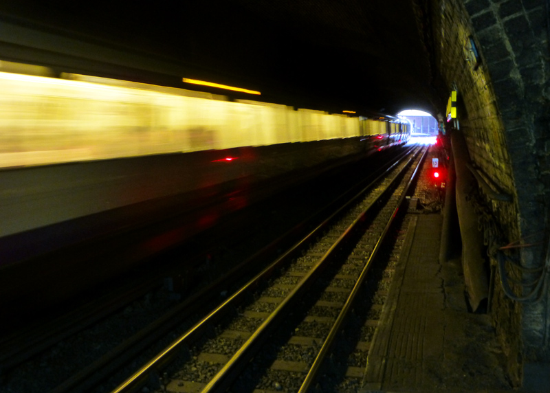
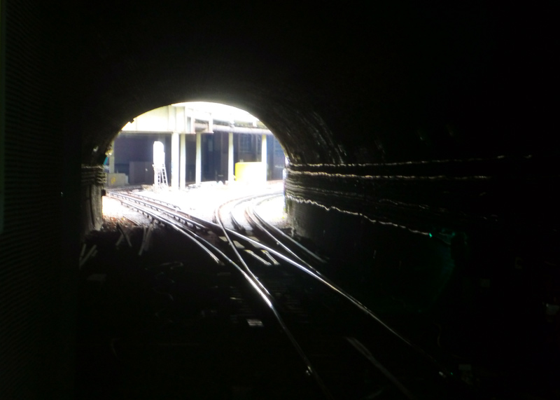
Left: This tunnel is only used by westbound trains - seen here is a District line train travelling towards Earls Court,
next to it are the Circle line tracks which lead to High Street Kensington.
Right: This tunnel is only used by eastbound trains and the tracks from Earls Court and High Street Kensington merge into one.
Although built for two tracks, nowadays the eastbound tunnels only have one set of tracks.
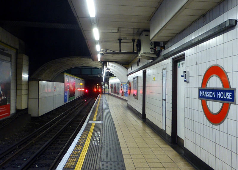
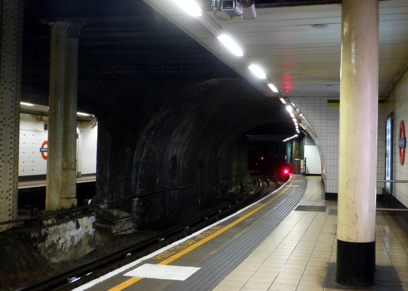
Left: Westbound Right: Eastbound
| General Information |
If you have a very old map it might show a branch between Acton Town and South Acton, however this closed on 28th February 1959.
Stations At Different Locations With The Same Names: For historic reasons three stations served by District line trains are ‘duplicates’. At Edgware Road, Paddington and Hammersmith different Underground trains call at identically named stations which are at separate locations a short walk from each other.
At Edgware Road the District line (and Circle line and Hammersmith & City line) trains use an open air station that was originally built by the Metropolitan Railway. The totally separate Bakerloo line station with the same name is a short walk away across busy roads.
At Paddington the District line trains use the Underground station which is also used by Bakerloo line trains and is located near the main concourse of the main line / National Rail station whilst the Hammersmith & City line trains use the suburban platforms (numbers 15 & 16) which are part of the main line railway station and totally separate from the other underground lines.
At Hammersmith the District line trains use the modernised former Metropolitan District Railway station which is shared with Piccadilly line trains. The main entrance to this station is inside a shopping centre and close to Hammersmith bus station. Hammersmith & City (and Circle) line trains use the former Metropolitan Railway station which is a short walk away across some busy roads.
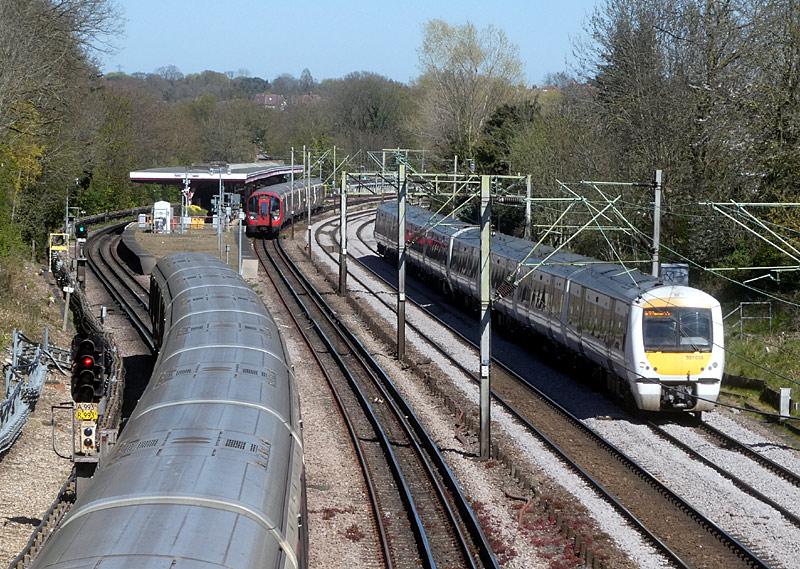
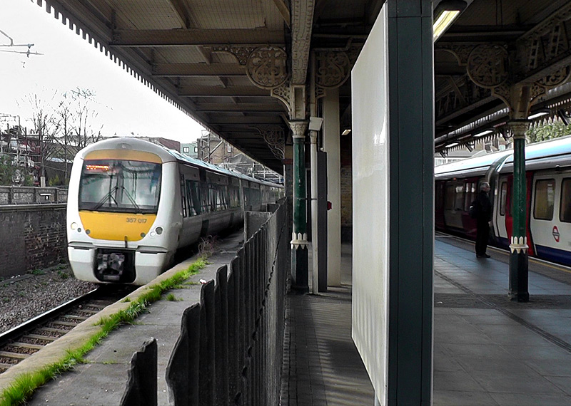
C2C trains pass through this station without stopping
and their platforms are closed to passengers.
The route to Upminster: The surface section of this route has four tracks with two used by Underground trains and two used by C2C trains from Fenchurch Street station. The section between Aldgate East and Barking is also used by Hammersmith & City Line trains - see the Shared Service Routes section below.
What nowadays are known as C2C trains stopped calling at all stations along the joint route (except Barking and Upminster) in 1962 when services between London Fenchurch Street station and Grays / Shoeburyness were converted to overhead wire electric traction and some of the platforms at Barking station were reconfigured for cross-platform interchange.
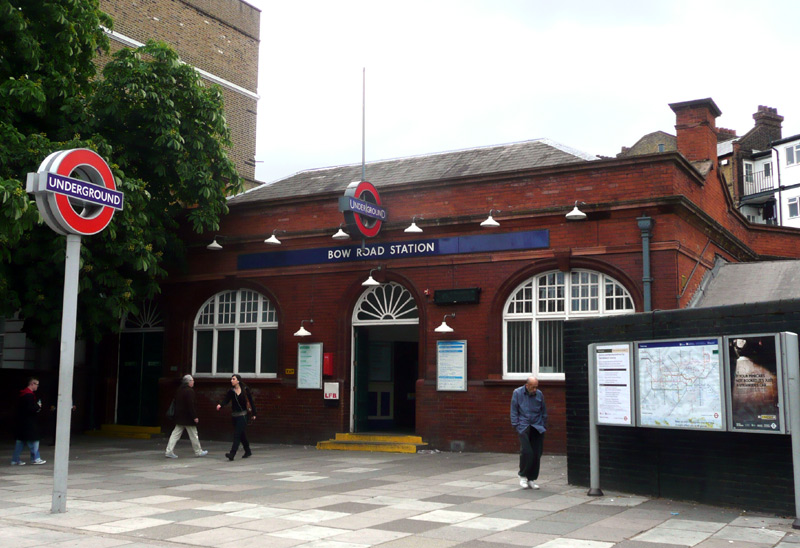
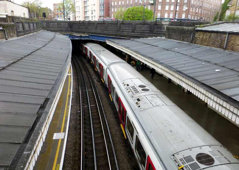
Also seen here is the view looking down to the platforms as seen from the station ticket hall (filmed through glass).
Central London: Tower Hill Station is very close to the Tower of London and Tower Bridge - two of London's top tourist destinations. This station is, at times, very busy but to help manage the flow of passengers there are separate entrances / exits and walking routes within the station. This station is also fully accessible, although most of the walking routes between the station and the visitor attractions are not suitable for wheelchairs.
Mansion House is best avoided as the station staff especially dislike people using cameras. Although below ground Embankment is well lit and the station platforms are partially staggered, making it easier to see the whole of the trains on the opposite platform (albeit from the back). Westminster station was rebuilt in the 1990's and has won many awards for its modern architecture. The metal flooring and grey concrete walls gives the interchange to the Jubilee line a distinctive 'space station' ambiance. However this is another station where passengers using their cameras are unwelcome. Victoria is an extremely busy station where the platforms are frequently very crowded.
Between Blackfriars and Westminster stations the line runs below the Victoria Embankment. This was built by the Metropolitan Board Of Works and forms the northern bank of the River Thames. The original impetus was the need to provide London with a modern sewerage system. Another major consideration was the relief of traffic congestion on The Strand and Fleet Street.
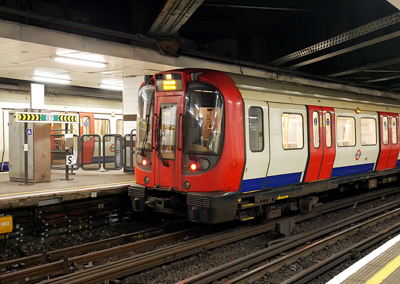
An unusual feature is a sundial. Next to its clock markings
is a ring of metal engravings depicting events in London's
2,000 years of history (see below).
The tall building seen in the distance is the Shard, this is located next to London Bridge station, which is on the southern side of the river Thames.
The train in the background is travelling westbound and is either a District line service from Aldgate East or a Circle line service from Aldgate.
This photograph was taken on the eastbound platform.

Some of the metal engravings around the outer rim of the Tower Hill station roof sundial which depict events in London's 2,000 year history - the examples seen here relate to the 1863 opening of the Metropolitan Railway (London's first underground railway) and 1890 opening of the City & South London Railway - London's first electric deep level tube train service (now part of the Northern line). Click image to see a larger version in a new window!
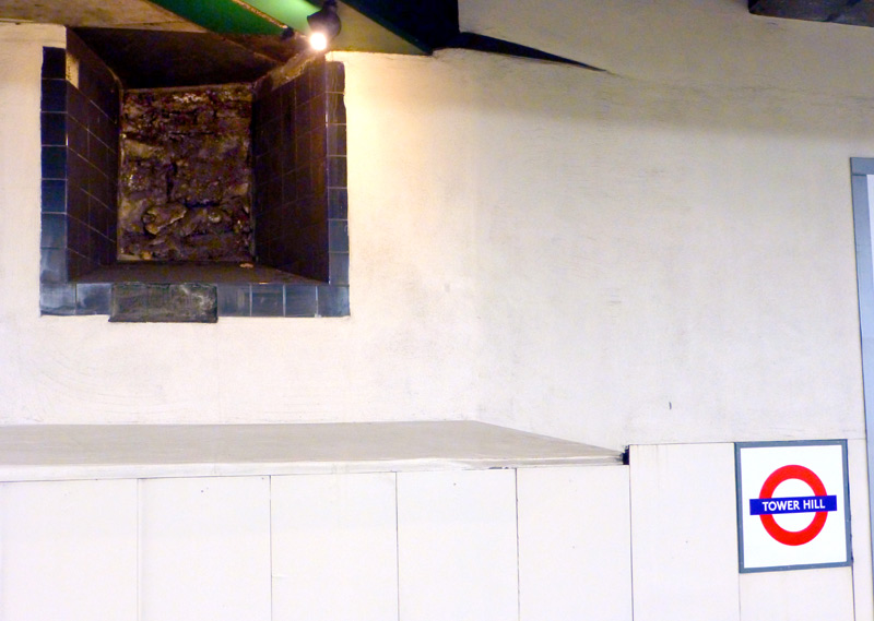
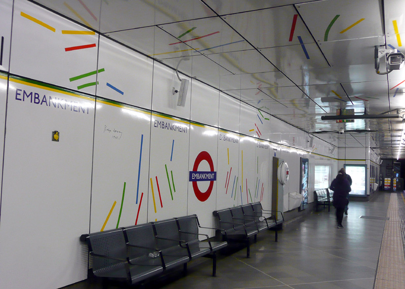
This is at the back of the westbound platform at Tower Hill station
NB: please remember that for safety reasons flash photography is prohibited on the London Underground.
Much larger sections of wall can be seen outside this station.
Whilst the decorative stripes are repeated on all three sets of platforms (Northern, Bakerloo, District & Circle lines) there are subtle differences in the pattern designs and colours.
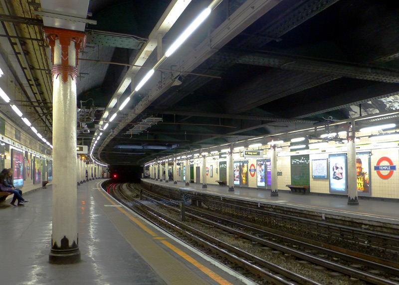
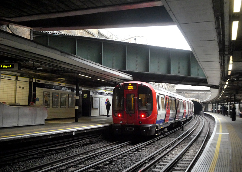
This station's arched glass roof was destroyed in an air raid in 1940.
|
Temple station in 1990 and 2014/5. Also seen (in 2015) is the local area, including a nearby park with a ventilation portal.
Kensington Olympia station. Most footage comes from 2011 but there are additional scenes from 1968 and the 1980's.
|
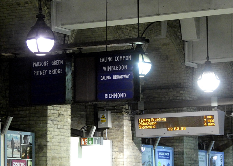
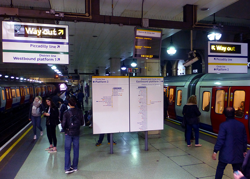
the westbound District line platform at Gloucester Road.
The blank position could have included destinations no longer
served by District line trains - such as Hounslow and Uxbridge.
Or maybe been used for semi-fast trains that missed out some
stations en route.
There are three subsurface platforms here:
(left:) Westbound Circle line; for trains via Bayswater,
(right:) Eastbound District & Circle lines; for trains via Temple.
| Four West London Branches - Plus Second Route |
The route to Ealing Broadway: This is mostly shared with Piccadilly Line trains and is looked at on the Shared Service Routes section below.
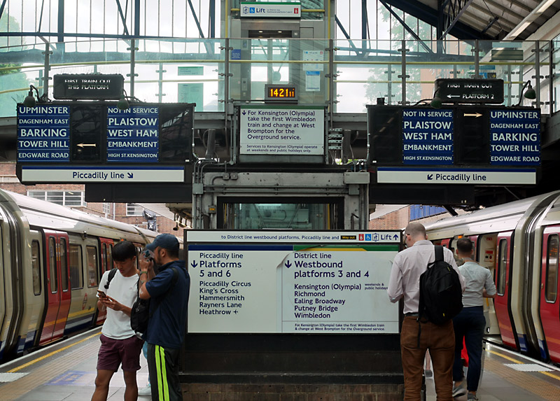

The introduction of the computerised train control
system included ensuring that both this and the
'first train out' displays would remain fully working.
Olympia service: When the service is operating District line trains to Kensington Olympia (from High Street Kensington station (usually bay platform No. 3) via Earls Court) only normally operates at the weekends and for special events - and with long waits between trains (typically 20 or 30 minutes). Instead passengers are expected to either travel by bus (which might cost an extra fare) or travel a much longer route changing to London Overground (West London Line - route C) or Southern trains at West Brompton. Many freight trains also pass through Kensington Olympia station, as the West London Line links railways to the north and the south of London.
Until 1946 this station was known as Addison Road.
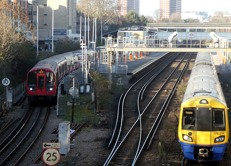
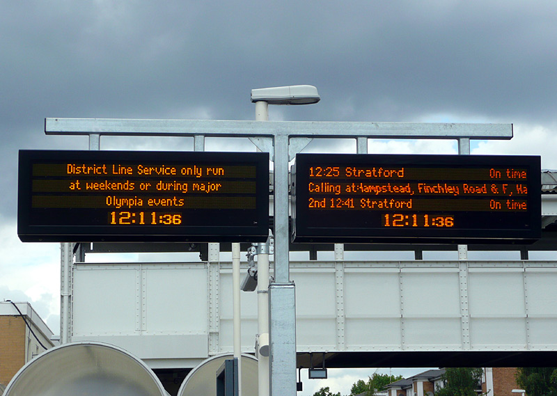
next train describers at Kensington Olympia station.
The route to Richmond: This is shared (at different locations) with Piccadilly Line and London Overground [North London /Mildmay line] services and is looked at in greater detail on the Shared Service Routes section below
The Grade II listed Kew Railway Bridge is between Gunnersbury and Kew Gardens stations on the route to Richmond. It spans the River Thames between Strand-on-the-Green, Chiswick and Kew.
The bridge was designed by W. R. Galbraith and was built by Brassey & Ogilvie for the London and South Western Railway, as part of an extension to their railway line from Acton Junction to Richmond.
It opened in 1869 and consists of five wrought iron lattice girder spans of 35 metres each.
Seen as being of strategic importance, during WW2 a pillbox was built at its southern end to guard it, plus an open enclosure created from which an anti-tank gun could be fired.
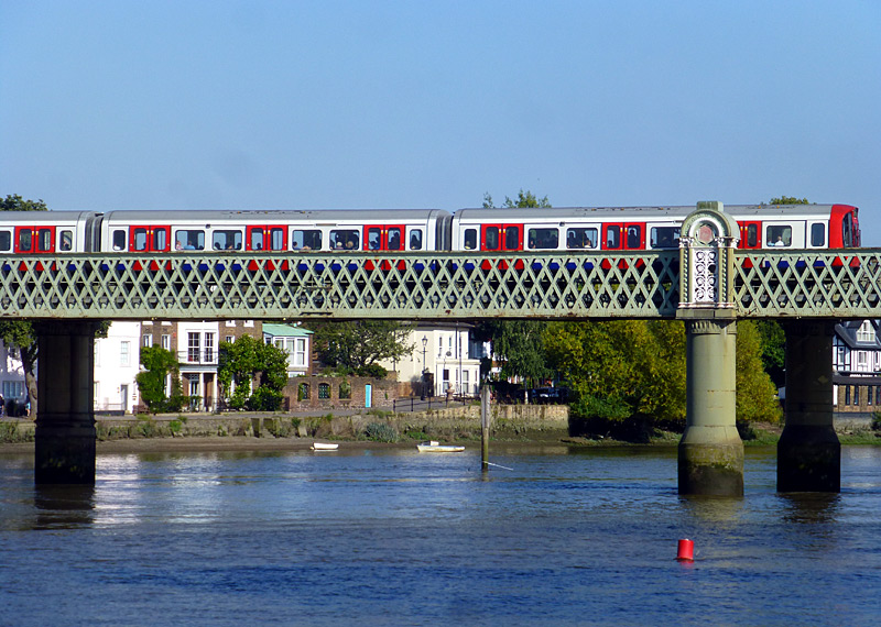
An S7 District line train halted at a red signal whilst crossing
the River Thames on Kew Railway Bridge.
In addition to District line trains the Kew Railway bridge is also used by London Overground (North London / Mildmay line) services between Stratford and Richmond.
The stations at Ealing Broadway, Wimbledon & Richmond are busy suburban stations in zones 3 or 4 where there is a wide variety of trains to see.
More information about them can be found further down this page.
The route to Wimbledon: This is the only District line branch which is served by trains which use both the east-west route via Victoria and the north-south route via High Street Kensington.
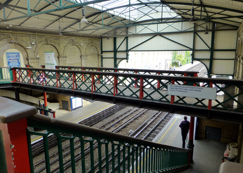
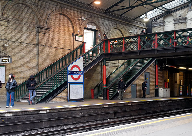
Both elevated walkways have steps which lead down to the platforms.
Inside the trainshed at the Victorian-era West Brompton station is an unusual series of walkways which cross the Underground tracks at different levels. This station is also served by trains which use the West London Line (WLL) - namely the London Overground Clapham Junction - Willesden Junction (- Stratford) service and the Southern Watford Junction - East Croydon service. Interchanging between the southbound main line and northbound District line platforms is at grade, however in the opposite direction requires using steps and elevated walkways. This station has Pink Oyster card readers which passengers interchanging between Underground and Overground / Southern trains who are paying fares via Oyster PAYG should use for cheaper fares if their journey does not include Zone 1.
Fulham Broadway station has been modernised and the new station entrance is through a shopping mall. The old station entrance is no longer used by railway passengers and has been converted into a retail shop, which is now closed. The historic trainshed has a glass roof which lets in daylight, however the newer parts of the station are fully enclosed.
Parsons Green - East Putney is elevated, offering interesting views of mostly traditional British terraced housing in a very expensive part of London.
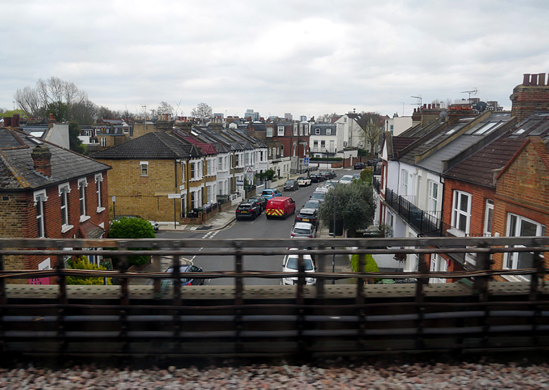
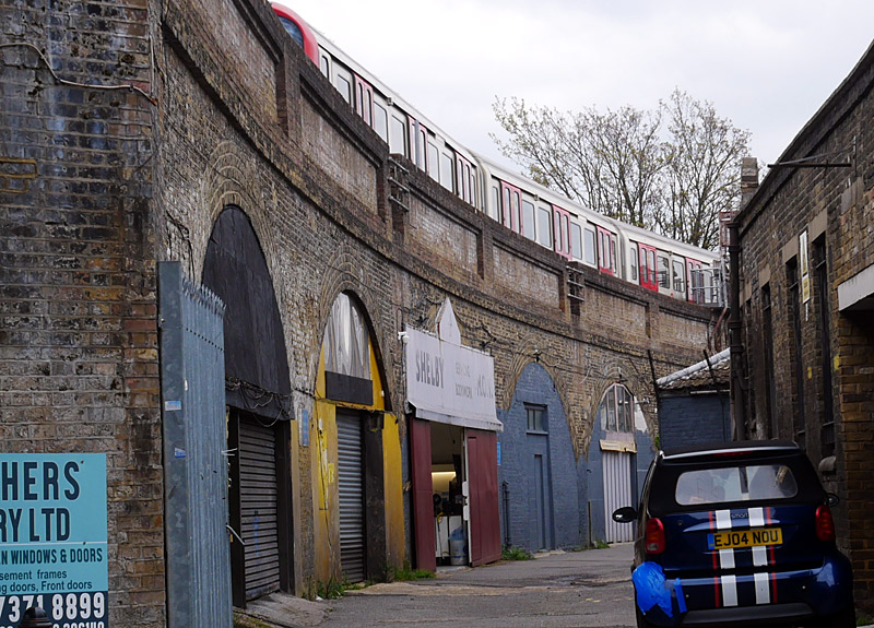
on an elevated section of railway between
Putney Bridge and Parsons Green stations.
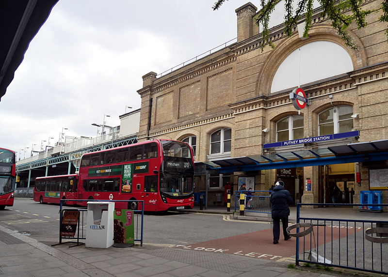
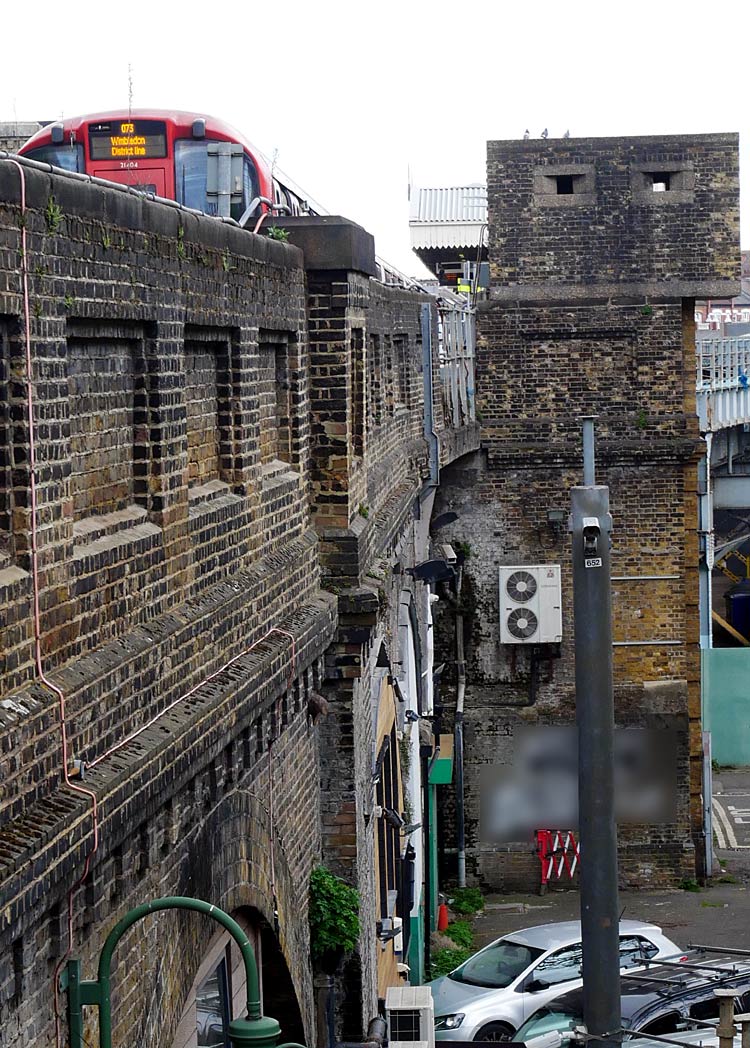
and features an ornate yellow brick façade.
passes a WW2 pillbox with gun turrets
as it departs from Putney Bridge station.
Putney Bridge station used to have three platforms, one of which was dedicated to trains which terminated here. However because the S stock trains were too long to fit this platform it was rebuilt as a through track (for trains travelling towards Wimbledon) and the former Wimbledon platform was closed.
Although very close to Putney bridge this station is on the northern side of the river Thames in an area named Fulham. Putney is on the southern side of the river!
The railway crosses the river Thames just south of Putney Bridge station and a pedestrian path on the western side of the bridge makes it possible to walk alongside the trains as they cross the river. (See photograph below). Note that the Putney Bridge is for road traffic - the bridge used by the trains does not have an official name but for over a hundred years it was known colloquially as The Iron Bridge and was also given another unofficial name when London Underground refurbished it in the mid-1990s and their contractors installed a plaque bearing the name Fulham Railway Bridge. Opening in 1889 it was designed for the London and South Western Railway (L&SWR) by Brunel's former assistant William Jacomb, and built by Head Wrightson.
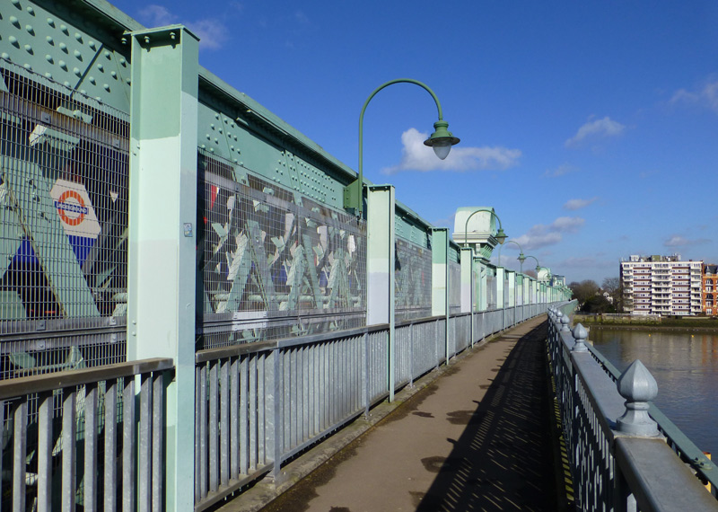
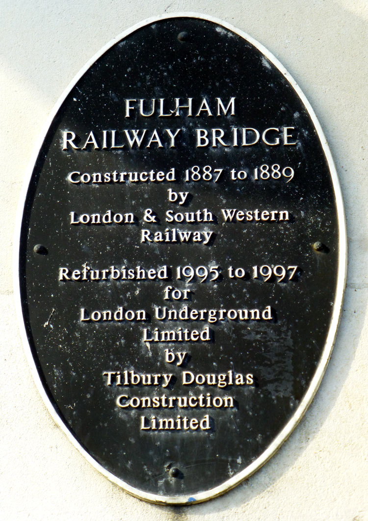
This is the only bridge across the River Thames which is used by UndergrounD trains that has a footpath for pedestrians. It is very near the
confusingly named Putney Bridge station - the confusion is because Putney Bridge is a road bridge and it is 10 minutes walk from this station!
This lattice girder bridge is 1,371 ft / 418 metres long, with 5 spans totalling 988 ft / 301 metres actually across the river,
two further spans on the southern shore, and one on the north.
These photographs were taken in the morning, in the afternoon the sun shines on the other side of the bridge.
At East Putney the District line merges with the main line railway. At first all trains were hauled by steam locomotives, but in 1905 they were converted to electric traction using a hybrid 3rd and 4th rail power supply system which was compatible with the trains operated by both railway companies.
Since 1941 only District line trains have provided the local 'all stations' passenger services along this line, but even today some South Western Railway (SWR) passenger trains pass through here (non-stop) - typically they travel late at night / very early in the morning. In addition SWR passenger trains sometimes also use this route when other lines are closed for track maintenance.
This route is also used by empty trains (ie: not carrying passengers) when travelling to / from Wimbledon depot.
This section of railway only became part of London Underground in 1994, when the former British Railways was being privatised and split-up into many smaller businesses.
Even now much of the signalling on this route is controlled by Network Rail, as part of the national railway network.
Between Wimbledon Park and Wimbledon the trains pass a SWR depot.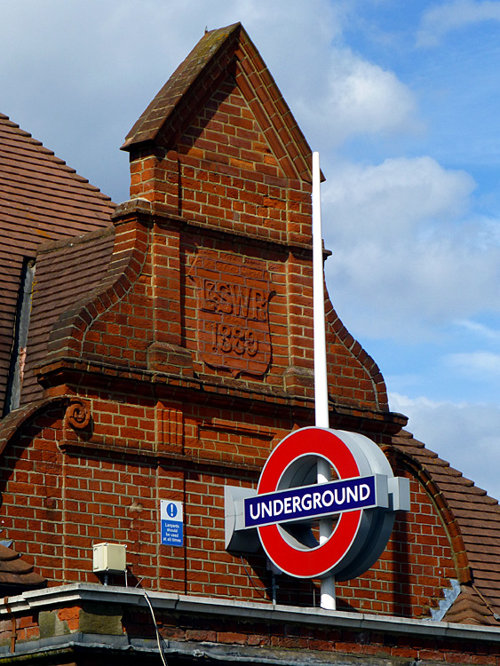
Station frontage detail at Southfields - although built by the
London & South Western Railway this station has always been
served by Metropolitan District Railway / District line trains.
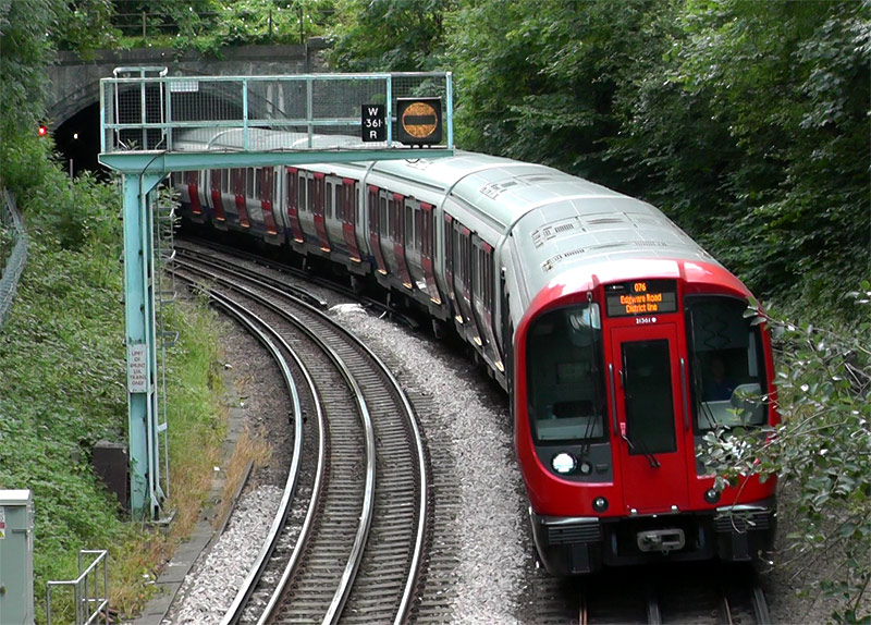 |
|
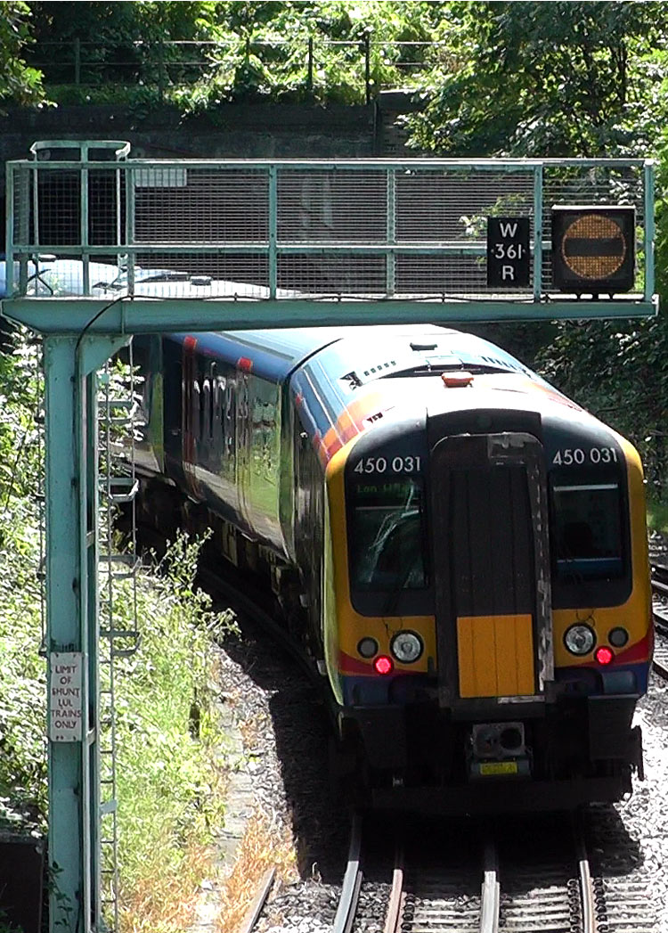 |
|
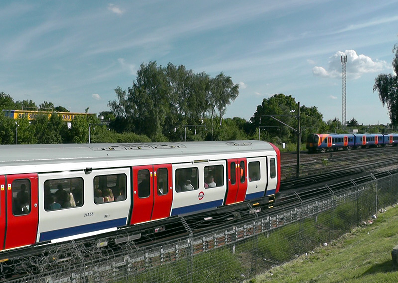 |
reduced / insufficient visibility of the main signal.
Middle: A Class 450 train at the same location as the previous image with its front in the East Putney Tunnel and its rear passing below the banner signal.
Right: Filmed from Alexandra Road (near to Wimbledon station) this view shows a location along the main line railway route between London Waterloo station and south-west England where it possible to see District line trains as well as many types of South Western Railway local and trunk route express trains.
At Wimbledon the District line has four platforms, these are located on the opposite side of the station to the Croydon trams and even seeing the two at the same time is 'a challenge'. Photographs showing trams and Underground trains can be seen in the Busier Suburban Stations section below
Edgware Road - Wimbledon: In addition to the main east - west service through central London there is also a north - south District line service which travels Edgware Road - High Street Kensington - Earls Court - Putney Bridge - Wimbledon. Between Edgware Road and High Street Kensington stations this route is also served by Circle line trains.
Nowadays both District and Circle lines trains end their journeys at Edgware Road station, Circle line trains normally use platform No.2 and District line trains platform No. 3.
Northbound trains approaching Edgware Road often have to queue to enter the station and sometimes the resulting tailback even delays trains before they reach Paddington station.
Originally the Edgware Road - Wimbledon service only ran between High Street Kensington and Putney Bridge. These trains were extended to Edgware Road in 1926 and for a while in the 1950's - 1970's sometimes travelled as far as Aldgate via Kings Cross.
The Edgware Road - High Street Kensington (- South Kensington) route was originally built by the Metropolitan Railway for the Inner Circle service and most of the stations are partially or wholly in open air. Paddington, Bayswater and Notting Hill Gate stations still retain their distinctive arched trainshed roofs. Of the three Notting Hill Gate is the best for seeing the roof (as seen in the photograph at the top of this page). High Street Kensington station has been rebuilt and the station entrance is now at the end of a shopping arcade.
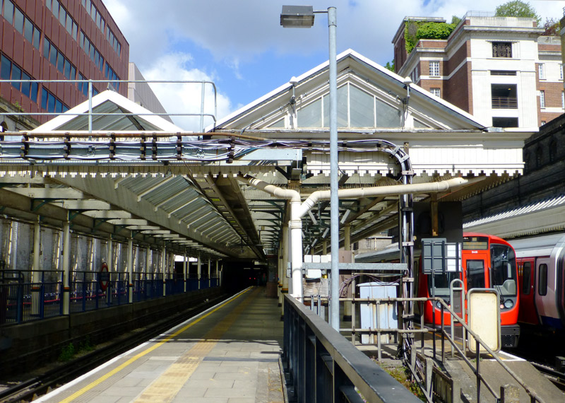
The bridge forms one of the walking routes between the Bakerloo line and platform 1.
In the far distance can be seen the red lights at the back of a stationary train that is queuing to enter Edgware Road station. This photograph was taken at 14:30 (2.30pm).
The two platforms on the right with S stock trains are used by District and Circle line trains travelling to / from Edgware Road.
Platform 3 is used on days when District line trains are travelling to Olympia whilst platform 4 is rarely used by trains carrying passengers.
Platforms 3 and 4 are terminals (bay platforms), the tracks end at the far end of the station - the buffer stop red lights at the end of the track for platform 3 can be seen in the larger image.
The stations at Ealing Broadway, Wimbledon & Richmond are busy suburban stations in zones 3 or 4 where there is a wide variety of trains to see.
More information about them can be found further down this page.
Exploring On Foot
Photographic viewpoints in south-west London which I've used include:
* The walkway alongside the trains on Fulham Railway Bridge,
* The Thames Path on the bank of the River Thames near to Fulham Railway Bridge,
* A footbridge over the railway from Keswick Road,
* Passing trains on the railway bridge over Granville Road,
* Looking both ways from the road bridge outside Wimbledon Park station.
* Looking both ways (north and south) from where Cromer Villas Road crosses over the railway,
Below are some links to Google maps showing some of these locations:
Putney Bridge station, Putney Bridge, Fulham Railway Bridge, East Putney station.
https://maps.google.co.uk/maps?ll=51.465264,-0.211401&spn=0.007392,0.013797&t=m&z=16
Between East Putney and Southfields stations.
https://www.google.co.uk/maps/@51.4520817,-0.2147479,15z
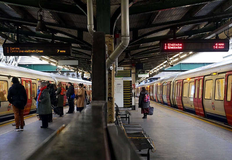
At Edgware Road District line trains usually call at
platform No.2, which is also unique on the Underground
for having red light emitting diodes (LED) in its 'next train' passenger information display - all others in London
use orange LED lights, as seen at platform 1.
A closer view of Kewsick Road showing the location of the footbridge over the railway.
https://maps.google.co.uk/maps?hl=en&ll=51.455498,-0.212034&spn=0.002895,0.006899&t=m&z=17
The junction of Cromer Villas Road / Sutherland Grove and the East Putney Tunnel exit (a satellite photograph).
https://www.google.co.uk/maps/@51.4525841,-0.2092284,252m/data=!3m1!1e3?hl=en
Wimbledon Park station and an entrance to the park.
https://maps.google.co.uk/maps?ll=51.435792,-0.202367&spn=0.003699,0.006899&t=m&z=17
The entrance to the Fulham Railway Bridge is very near to Putney Bridge station and crossing this bridge on foot offers a very different way to experience the District line. There are also excellent views of the trains crossing the bridge from the river bank (Thames Path) and from Putney Bridge - although from here the noise of the road traffic will prevent you from hearing the passing trains. If filming from the Thames Path or Putney Bridge the sun is in the best direction in the afternoon.
On the south side of the river Thames there is a choice of walking routes towards the next photo-spots; either along Putney High Street (the Exchange shopping centre has places to buy food and free toilets) or along Oxford Road which is a quiet residential street. Just to the east of East Putney station is Keswick Road, walking along this road will lead to a foot bridge over the railway where it is possible to look down on the passing trains and (if looking to the south) an entrance to the East Putney Tunnel.
Keswick Road ends at a road named East Hill. On the other side of this road (slightly offset) is Sutherland Grove. This leads to Southfields station and passes the Cromer Villas Road and Granville Road photo-spots.
|
|
| East London Line |
| Below / Above Ground |
In open air from New Cross / New Cross Gate to just north of Surrey Quays, at Whitechapel plus a little to the north of the station and much of the route to Shoreditch.
Click map to see larger version in a new window!
| General Information |
Strictly speaking this line no longer exists, but of course it can still be seen on many older and historic maps.
Nowadays the line is part of the London Overground network, under whose heading more information can be found.
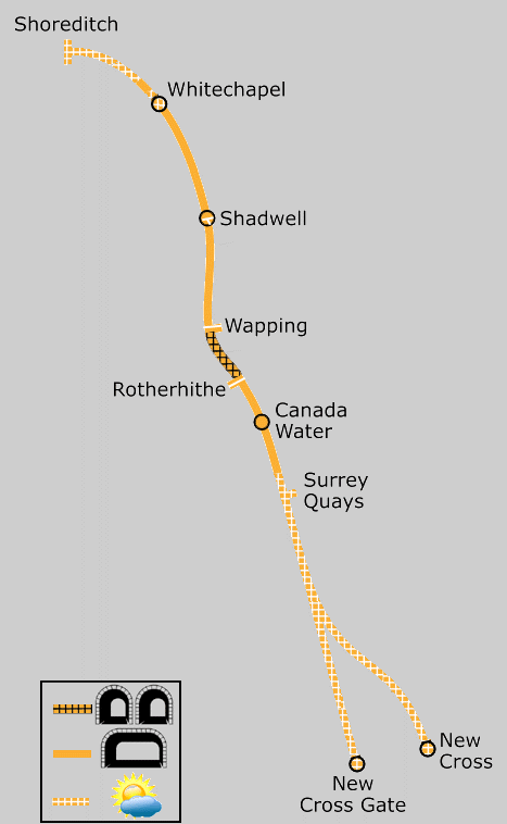
Map modified by me, original source & license:
Ed g2s / Wikipedia encyclopædia CC BY-SA 3.0
http://commons.wikimedia.org/wiki/File:East_London_Line.png
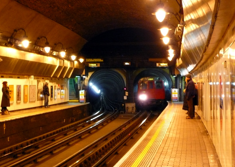
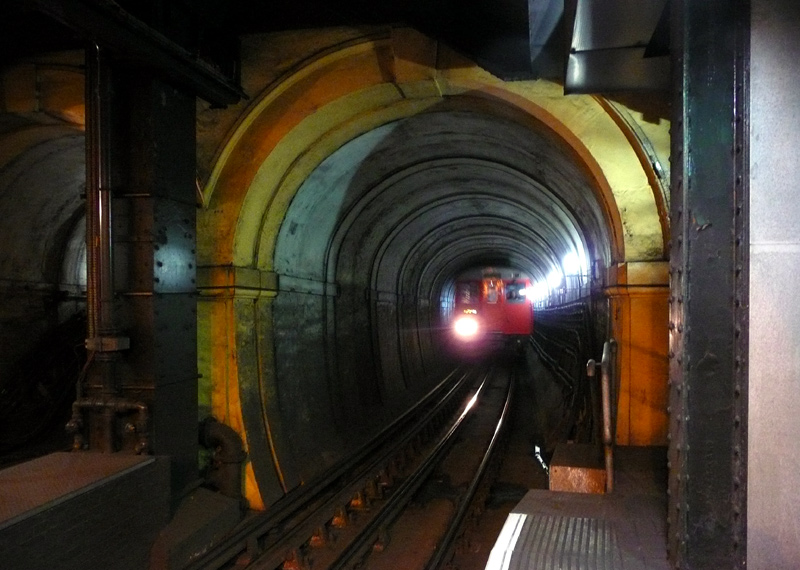
| Hammersmith and City Line |
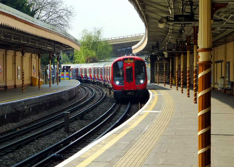
These trains have 3 sets of opening doors per car, air-conditioning and internally are of a walk-through design.
Hammersmith & City line trains use a GoA 2 (Grade of Automation level 2) semi-automatic train control system (STO) whereby the trains travel automatically from station to station but a human train driver is always present at the front of the train, with duties that include door closing and initiating station departure.
Although they all look the same there are two different types of S Stock trains.
The S7 variant have 7 cars (coaches / carriages) with only longitudinal seating.
These are used on the Circle, District and Hammersmith & City lines.
The S7+1 variant have 8 cars with only longitudinal seating.
There are very few of these trains - which are only used on the Metropolitan line.
The S8 variant have 8 cars with a mix of longitudinal and facing seats.
These are only used on the Metropolitan line.
Doors Auto-Open / Auto-Close:
At stations the passenger doors are opened by the train driver and (if not closed earlier) automatically close after 45 seconds - but are easily
re-opened using the push buttons.
Lights on every S Stock car side:
Amber: Passenger doors are unlocked / open
White: It is time for the doors to close and the train to depart.
S7 trains have two route maps:
District line (left);
Hammersmith & City and Circle lines (right).
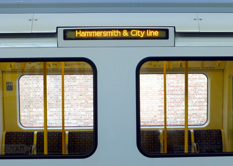
(especially visitors to London)
because they look at the wrong map!
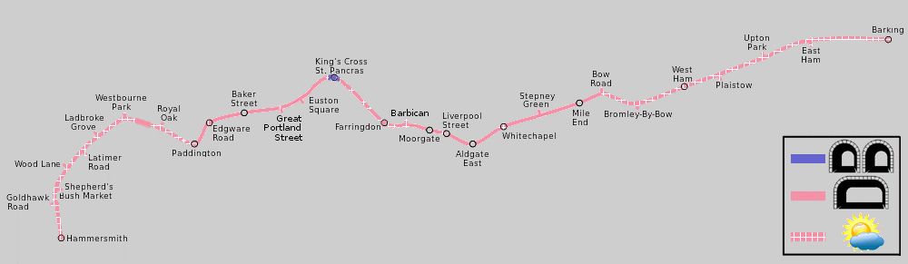
Map modified by me, original source & license: Ed g2s / Karldupart / Perhelion / Wikipedia encyclopædia CC BY-SA 3.0 http://commons.wikimedia.org/wiki/File:Hammersmith_%26_City_Line.svg
Click map to see larger version in a new window!
| Below / Above Ground |
Almost entirely below ground in central London, Edgware Road, Farringdon and Barbican stations are in open air. At Liverpool Street one end of the platform is in open air. The tunnels between Kings Cross and Barbican stations include some short open air sections which date from the days of steam trains when ventilation openings were needed to allow the smoke to clear.
In west London open air between Hammersmith & Paddington, except for the short flyunder below the Great Western Main Line between Westbourne Park and Royal Oak stations.
In east London open air at Whitechapel and then from Bow Road to Barking.
| Claustrophobia |
Information for people who are happy to travel on trains which are above ground but experience claustrophobia
when in tunnels.
Most of the tunnels used by Hammersmith & City Line trains are wide enough for two tracks (ie: a train in each direction), however there are one location which has narrow single track tunnels.
* This is at Kings Cross St Pancras station - the platforms plus station approaches / exits.
| General Information |
Until 1988 this service was officially part of the Metropolitan line (albeit a separately operated branch) and at some locations might still be advertised as such. The name 'Hammersmith and City' is taken from the Hammersmith and City Railway (H&CR) which was jointly owned by the Metropolitan and Great Western Railways.
Stations At Different Locations With The Same Names: For historic reasons three stations served by Hammersmith & City line trains are ‘duplicates’. At Edgware Road, Paddington and Hammersmith different Underground trains call at identically named stations which are at separate locations a short walk from each other.
At Edgware Road the Hammersmith & City line, Circle line and District line trains use the former Metropolitan Railway station. The totally separate Bakerloo line station with the same name is a short walk away across busy road junctions.
At Paddington the Hammersmith & City line trains (and Circle line trains travelling to / from Hammersmith) use the suburban platforms (numbers 15 & 16) which are part of the National Rail / main line railway station and totally separate from the other underground lines. These platforms are partly in open air and the main line trains operated by Great Western Railway, Heathrow Express etc., can be seen from them.
At Hammersmith the Hammersmith & City (and Circle) line trains use the former Metropolitan Railway station which remains largely as built in 1868. A short walk away across some busy roads is the former District Railway station which nowadays is used by District & Piccadilly line trains and has been modernised with its main entrance now inside a shopping centre.
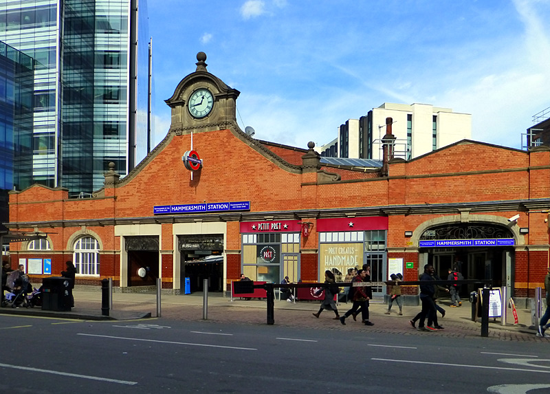
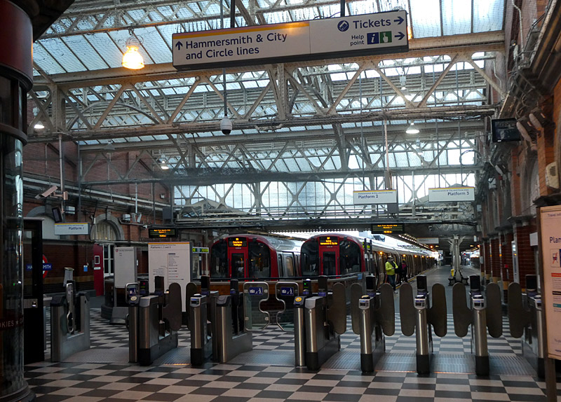
West London: Just outside Hammersmith station the trains pass a small depôt. The section Hammersmith - Westbourne Park is on a brick arch viaduct which in 1864 was built by the Great Western Railway (GWR) and served by its broad-gauge trains - these had tracks which were 7 ft 0¼ in [2140 mm] apart). Originally there were only a few stations, with more opening over a number of years.
The present-day Wood Lane station dates from 2008. Over the years this station has been opened and closed several times, its 2008 reopening was because it is very near the large ‘Westfield’ shopping centre that opened in the same year. Also nearby is the Central line‘s White City station.
The out of station interchange (OSI) system means that passengers paying fares using PAYG are allowed to change trains by walking between Wood Lane and White City stations and then continue their journey at no extra cost. (Touch-out when leaving the station and touch-in when arriving at the other station). There is a generous time limit in which this journey must be completed, so people who walk slowly should not worry. However this time limit does not allow for going shopping.
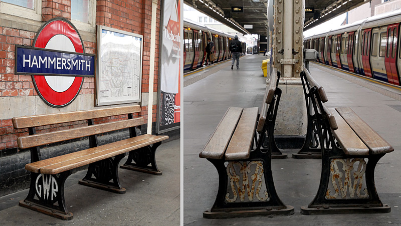

features two different styles of GWR logo.
Closed Link At Latimer Road: This link was built as part of the original Hammersmith & City Railway and went to the nearby West London Line. Over the years it was used by both GWR and Metropolitan Railway services to various destinations, including Richmond via Addison Road (now known as Kensington Olympia) and Kew Gardens stations, and the North London Railway 'Middle Circle' service which ran between Moorgate and Mansion House via Addison Road. Eventually however these services ended and it was only used by Metropolitan Railway trains on the short Edgware Road - Addison Road shuttle service. The link was completely closed in 1940 as a result of air raid bomb damage and although the line could have been repaired this did not come to pass.
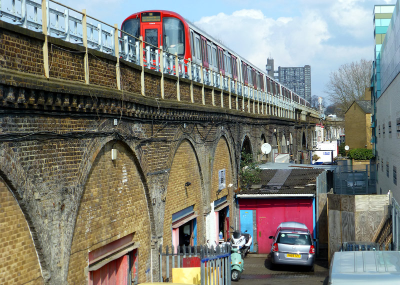
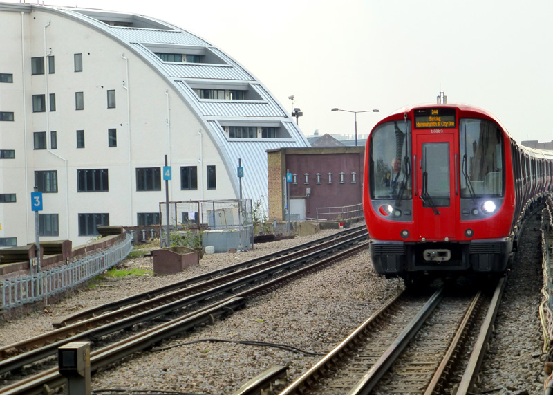
The railway arches below the tracks are used as light industrial workshops.
towards Barking passes the former route to the West London Line
as it arrives at Latimer Road station.
Between Westbourne Park and Paddington the Underground trains travel alongside the National Rail Great Western Main line tracks to Paddington station. This includes a dive-under to swap between the southern side (of the main line railway) at Westbourne Park and the northern side at Royal Oak.
Royal Oak is a good location for watching passing mainline trains, including InterCity Express Trains (IET) to Bristol, South Wales, Devon, Cornwall etc., plus outer suburban / regional and Heathrow Express Class 387 electric multiple unit trains. Also Class 345 Elizabeth line trains when they travel to the above-ground Paddington station. However, because you will be looking south it will often be easier to photograph the trains when the weather is cloudy.
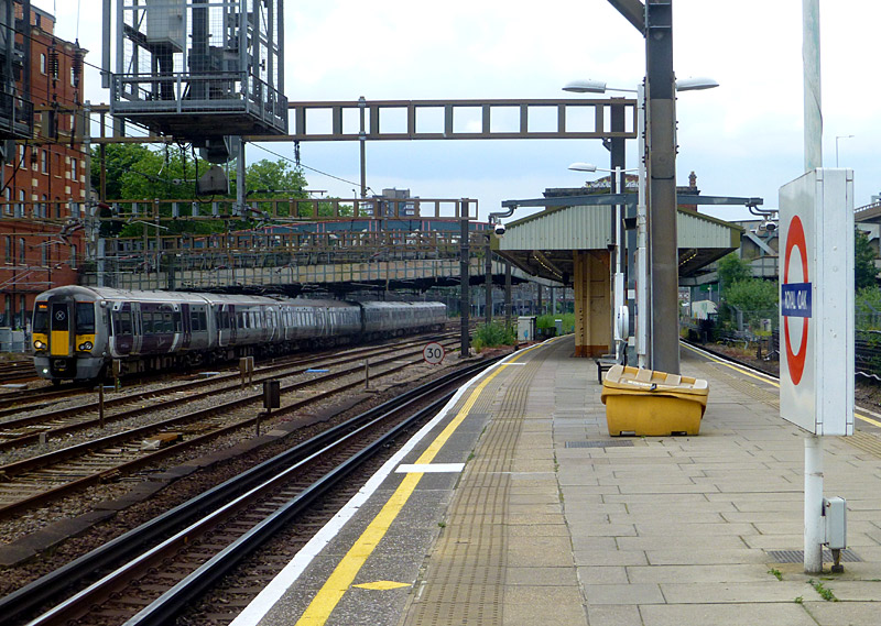
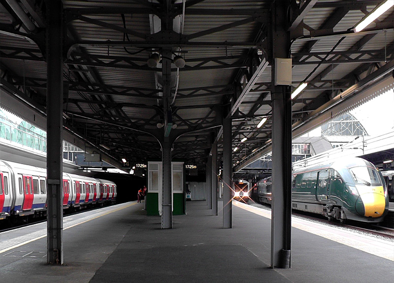
Central London: The Hammersmith & City line operates along the entire length of the first section of the Metropolitan Railway which opened in January 1863 and extended from Paddington to Farringdon Street (nowadays known as Farringdon) via Baker Street station. Over the years several of the stations on this section of railway have changed their names, these include Moorgate Street / Moorgate, Aldersgate / Barbican and Gower Street / Euston Square.
Although Edgware Road (subsurface) was an original 1863 Metropolitan Railway station, it was rebuilt in the 1920's and now has four platforms.
This was done as part of a plan to reduce congestion on the two track section of railway between Baker Street and Finchley Road stations by building new deep-level tube tunnels from just to the west of Edgware Road station to just north of the present-day Kilburn station.
However the planned new route was abandoned after the government introduced new safety rules prohibiting the compartment type of train that the Metropolitan Railway used on its main line services from travelling through deep level tube tunnels^. Instead a solution was found which included building new tunnels between Finchley Road and Baker Street stations as an extension to an existing tube line.
^The rules said that in the event of an emergency (eg: fire) it had to be possible to walk through trains which use single track deep-level tunnels (ie: flee to another part of the train) and there had to be emergency exits at the train ends. These are features that are not found on trains with full-width compartments.
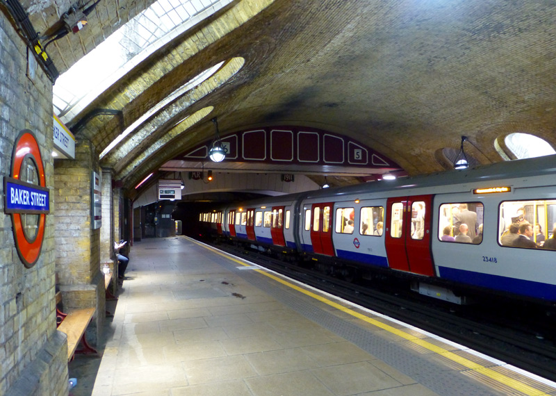 |
|
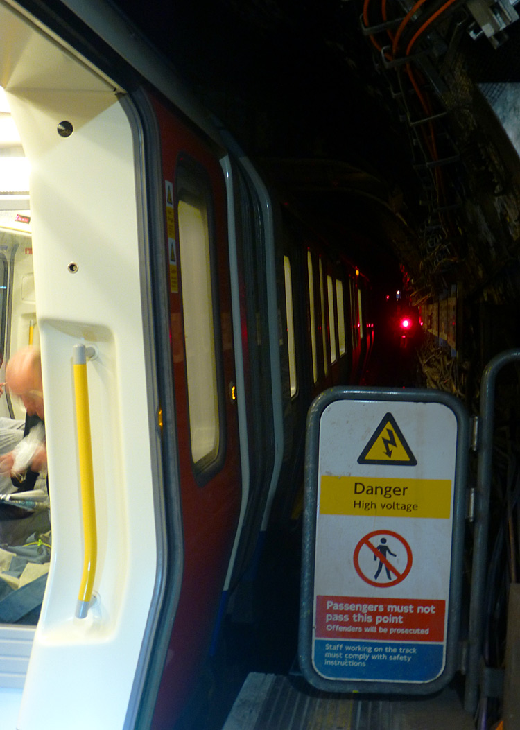 |
|
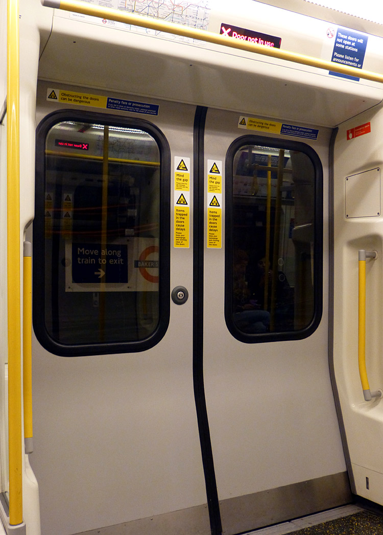 |
The historic platforms 5 and 6 were part of the original Metropolitan Railway of 1863.
S7 trains are longer than this platform so the last car remains in the tunnel and the doors do not open.
There are more photographs from this station in the sections of this page which look at the Metropolitan, Bakerloo and Jubilee Lines.
Baker Street is of course one of London‘s most famous stations. Hammersmith & City (and Circle) line trains use the original 1863 platforms which are located just below the Marylebone Road and numbered 5 & 6.They have been restored to as near their original condition as possible. However since the original fresh air portals which allowed daylight to enter the station (and steam engine smoke to escape) have been covered over they have been fitted with electric lighting so as to help recreate this effect. The platform walls feature many plaques showing old plans and photographs of the station as it was many years ago.
Baker Street has the most platforms which are served by London Underground trains in all London. Four platforms are used by Metropolitan line trains, two platforms by Hammersmith & City and Circle lines trains plus four deep level tube train platforms which are served by the Bakerloo and Jubilee lines. - 10 in total! Just outside the front of the station there is a large statue of Sherlock Holmes which commemorates the fictional detective's association with 221B Baker Street.
The platforms at Great Portland Street also comprise much historic brickwork and heritage style lighting. There is also a daylight / ventilation portal at the west end of the station.
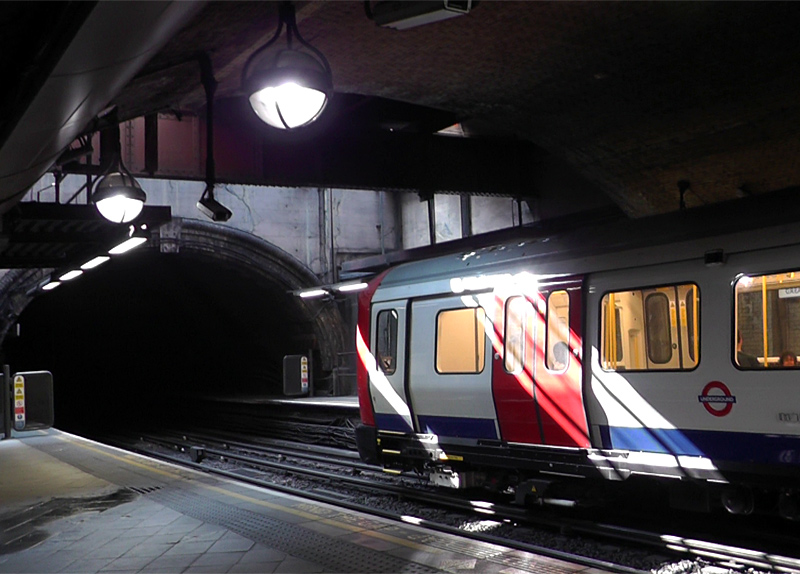
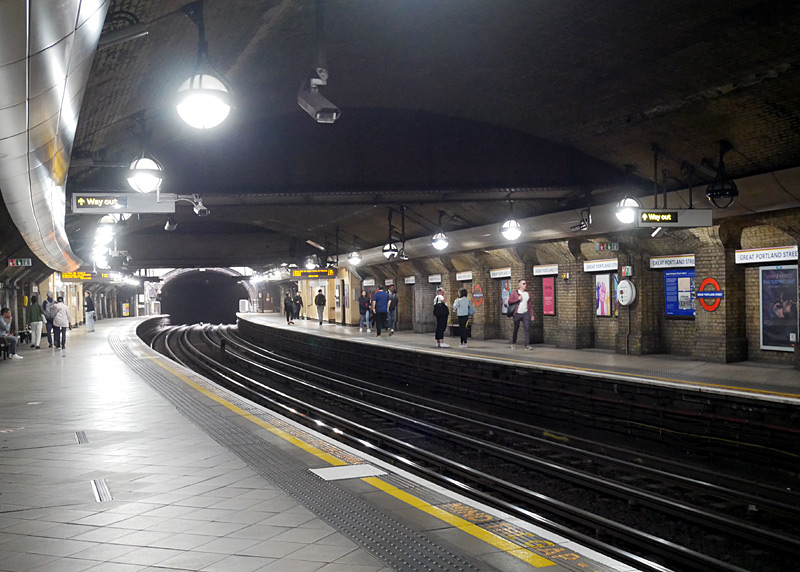
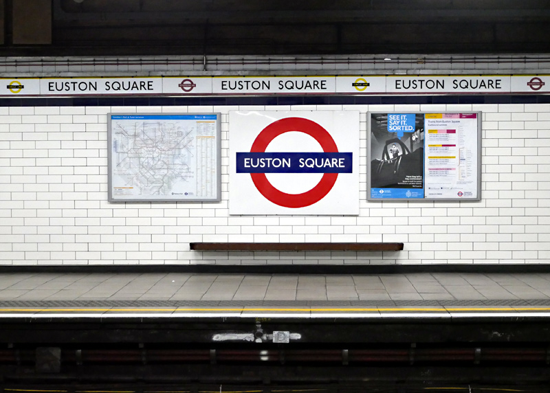

The subsurface platforms at Kings Cross St Pancras date from 1941. For most of their length they comprise twin circular shaped tunnels with a side platform, thereby creating the ambiance of a deep level ‘tube’ train station. There is a photograph showing this on the Circle line section of this page.
The route between Kings Cross St Pancras and Moorgate has four tracks. Two of these are used by Underground trains. The other pair of tracks are known variously as the Widened Lines the City Widened Lines and even the Metropolitan Widened Lines. These are looked at in a special section below.
Nowadays the main line / National Rail Thameslink service between St. Pancras and Farringdon stations uses the Widened Lines. Sometimes these trains can be seen from Undergrond trains whilst travelling between Kings Cross St. Pancras and Farringdon stations. Also visible (from Underground trains) are the remains of the westbound platform at the Kings Cross station which Underground trains stopped using in 1941. However a wall prevents sight of the former eastbound platform and the platforms which Thameslink trains stopped using in 2007.
Because of the large number of trains from other railway companies§ which wanted to access London's Financial District the 1865 extension of the original Metropolitan Railway from Farringdon to Moorgate was built with four tracks, and a pair of extra tracks were added between Farringdon and Kings Cross St Pancras stations.
§The railway companies included the Midland Railway, the Great Northern Railway and the London, Chatham & Dover Railway.
Some of the trains which used the Widened Lines travelled the whole way from Kings Cross or St. Pancras to Moorgate, others only travelled between Kings Cross / St. Pancras and Farringdon - many of these trains were on services to / from various destinations in south London and crossed the River Thames on Blackfriars bridge. For a while there were also services from south London which went to Moorgate, only using the Widened Lines between Farringdon and Moorgate. In addition many goods (freight) trains used the Widened Lines, some of these served the various goods yards which were near Farringdon station, others were on longer journeys between north and south London.
In the days of electric traction some Metropolitan Railway services which terminated at Moorgate also used the Widened Lines. But only when travelling eastbound, ie: towards Moorgate.
Nowadays only the Thameslink service which links destinations to the north and south of London still uses the Widened Lines. However since 2009 they have only used the section between St Pancras and Farringdon stations.
Prior to 2009 some Thameslink trains from the north of London travelled all the way from St Pancras to Moorgate. The reason why the section between Farringdon and Moorgate closed is that when Thameslink trains were lengthened from 8 to 12 carriages it was decided that the only way that the northbound platform at Farringdon could be extended to accept the longer trains was to build over the trackbed of the route to Moorgate. Extending the other end of the platform at Farringdon was not done because of a downhill gradient that was thought to be too steep for a station platform. This explains why Moorgate and Barbican stations have two disused platforms.
Longer term plans are to re-connect the closed section of the Widened Lines to the Underground's tracks and use it as additional sidings, so it is unlikely that passengers will be able to travel along this section of track again.
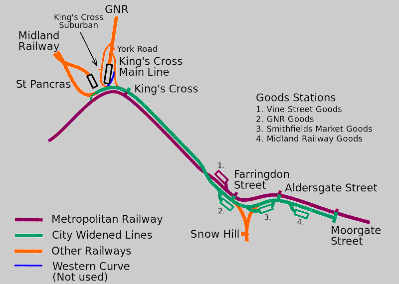
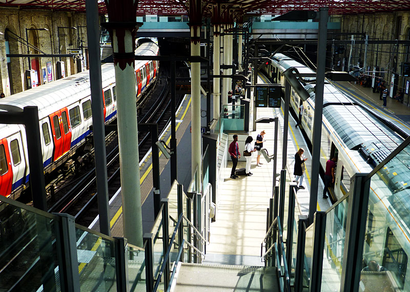
Vine Street Depot belonged to the Metropolitan Railway.
Smithfield Market Goods belonged to the GWR.
The GNR was the Great Northern Railway.
Map modified by me, original source & license:
Edgepedia / DavidCane / Wikipedia encyclopædia CC BY-SA 3.0
http://commons.wikimedia.org/wiki/File:City_Widened_Lines.svg
and on the Widened Lines a Thameslink Class 700 train.
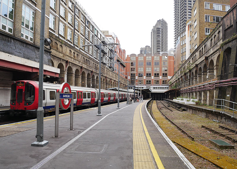
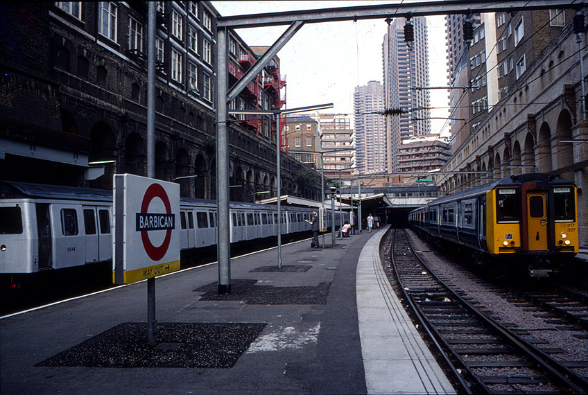
Left: 2024 view with an S stock train and disused Widened Lines
Right: 1980's view, shortly after the British Rail services London - Bedford had been converted to electric traction.
The trains seen here are London Transport C stock and British Rail Class 317 - both types of train have now been replaced.
When looking at the Metropolitan Railway it is important to remember that in those days it was just one of the many British railway companies. The Met saw itself as being a main line railway that in every way was equal in status
to its contemporaries - it ran both local 'all stations' and express trains, trains with Pullman carriages that offered freshly cooked refreshments, goods / freight trains and more... Therefore it would be wrong to think in terms of present-day terminologies
such as 'rapid transit', 'urban metro', 'subway', etc.The route between Barbican and Moorgate dates from 1965 when the tracks (all four!) were realigned and placed in tunnels as part of an urban regeneration scheme which included the building of the Barbican complex. Moorgate station used to be open air but is now under an office block. This station also has 10 platforms. Four of these are used by Metropolitan / Hammersmith & City / Circle lines trains (two for through trains and two bay platforms), two platforms were used by Widened Lines trains (but are now closed) and four platforms are used by deep level tube trains (two as part of the Northern line Bank Branch and two as part of the Northern City line main line railway service).
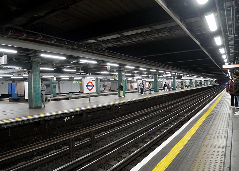
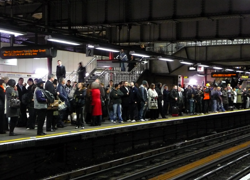
This was filmed from the eastbound platform, beyond the main westbound platform there are two terminus tracks with platforms for Underground trains and two disused terminus tracks with platforms for Widened Lines trains.
This platform is served by Hammersmith & City and Circle line trains going to Hammersmith (Met) station and longer-distance Metropolitan line trains going to Amersham / Chesham / Uxbridge / Watford stations via Harrow-On-The-Hill station. Some of these journeys will take 60+ minutes to complete!
East London: The Hammersmith & City line joins the District line at Aldgate East station. Some readers may recall that off-peak trains used to terminate at Whitechapel but nowadays they continue further, usually all the way Barking although sometimes they only travel as far as the bay platform at Plaistow. Since the introduction of the S Stock a few Hammersmith & City line trains even travel to Upminster. This is very rare. The through trains from Hammersmith to New Cross / New Cross Gate on the East London line are now but a distant memory.
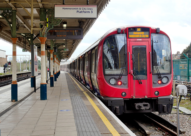
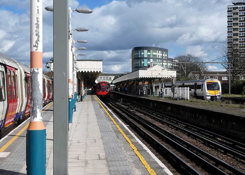
The image on the right also includes an eastbound S Stock train (could be either Hammersmith & City or District line) which is making a 'station stop' plus a westbound Class 357 C2C train which is passing through without stopping.
The route from midway between Bow Road and Bromley-by-Bow stations to Upminster has four (or more) tracks, the other pair of tracks are used by C2C services between Fenchurch Street and the coastal town of Southend-On-Sea. Further information can be found in the Shared Service Routes section below.
| Jubilee Line |
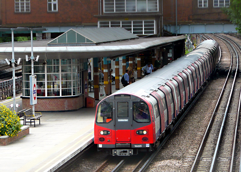
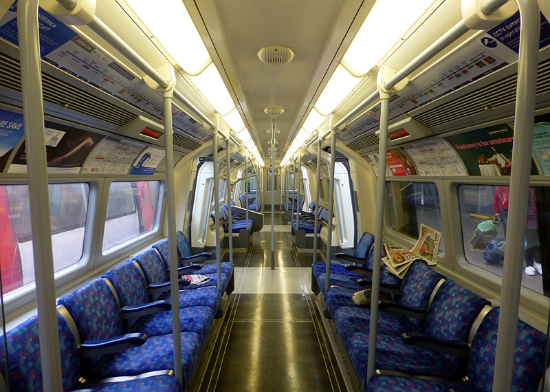
Jubilee line trains use a GoA 2 (Grade of Automation level 2) semi-automatic train control system (STO) whereby the trains travel automatically from station to station but a human train driver is always present at the front of the train, with duties that include door closing and initiating station departure.
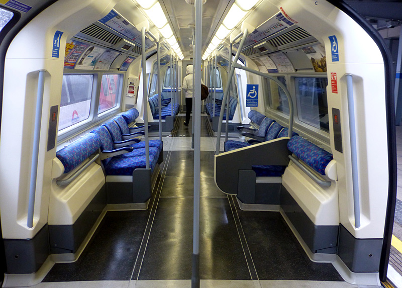
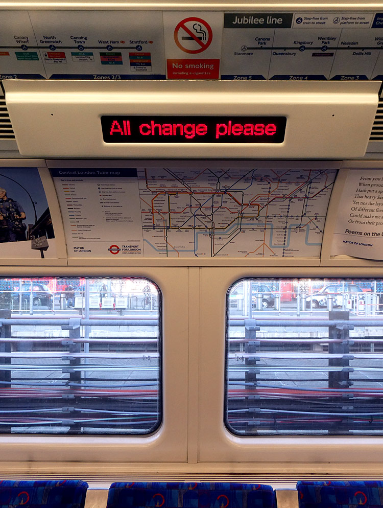
These feature an upholstered 'bum rest' and space for
pushchairs / buggies / strollers.
Some tube cars are also fitted with wheelchair seat backs
in one of these spaces (as seen here).
which scroll messages - such as the name of the next station.
There are three each side, above each row of seats.
The message seen here ('All change please') was displayed at
Stratford station, which is the line's eastern terminus.
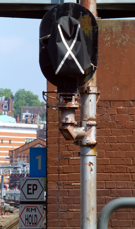 Disused colour light signal at West Hampstead station |
Jubilee line tube cars have eight priority seats. These are located at each end of the outer seating bays - very near the passenger doors and next to floor-ceiling grab rails which some passengers will
find useful when they try to stand up when arriving at their destination station.
There are several different designs of priority seat upholstery. Some are plain, some include a pictogram of the various groups of passengers for whom these seats are intended and some include a few words encouraging other passengers to give up that seat / sit elsewhere if they see a passenger who would benefit from a priority seat. There are six different messages:-
The seating bays (in the middle of the tube cars) with the multi-user spaces do not have any priority seats, however on some tube cars the bum rests also feature the priority seat fabric. Sometimes different priority seat styles can be seen in different tube cars within the same train. |
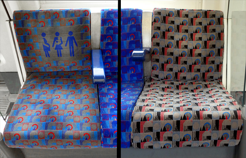 |
|
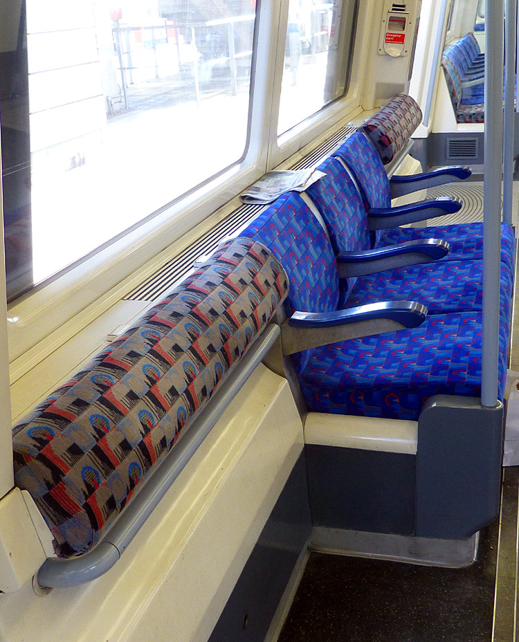 |
|
 |
| Below / Above Ground |
Open air Stanmore - Finchley Road and Canning Town - Stratford.
The rest is underground.
Click map to see larger version in a new window!
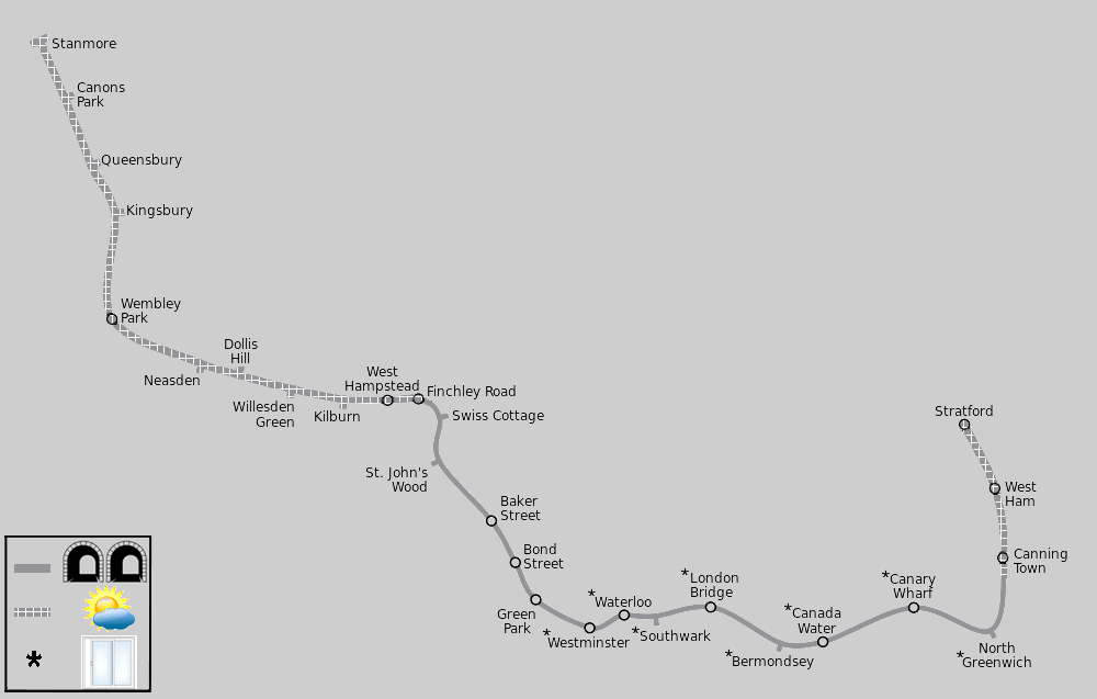
Map modified by me, original source & license:
Ed g2s / Wikipedia encyclopædia CC BY-SA 3.0
http://commons.wikimedia.org/wiki/File:Jubilee_Line.svg
| General Information |
Jubilee line Part 1: The section from Stanmore to Wembley Park opened in 1932, originally as part of the Metropolitan Railway.
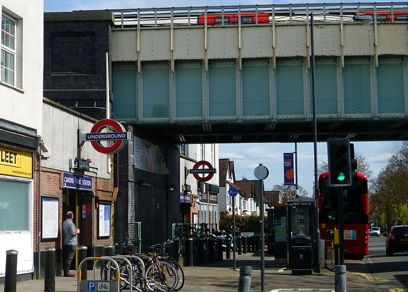
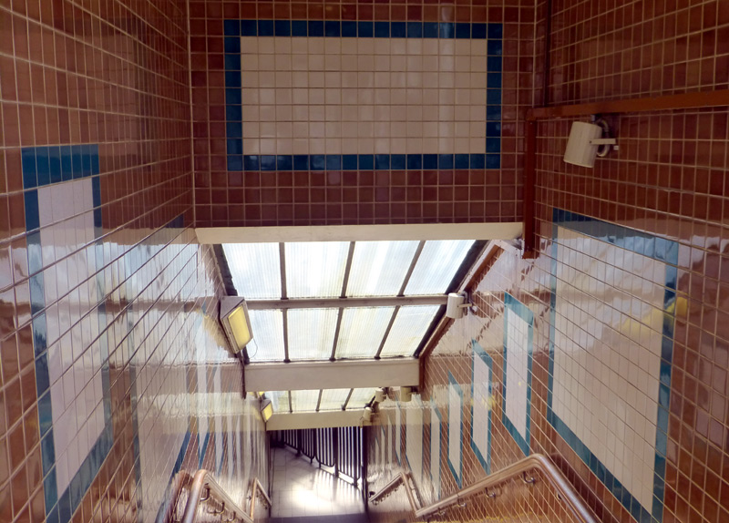
and feature an attractive design created using coloured tiles.
Between Wembley Park and Finchley Road the route is shared with the Metropolitan Line and Chiltern Railways services from Marylebone station; there is more information about this in the shared service section below.
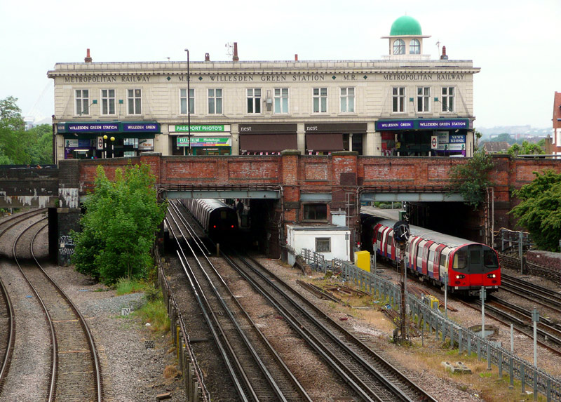
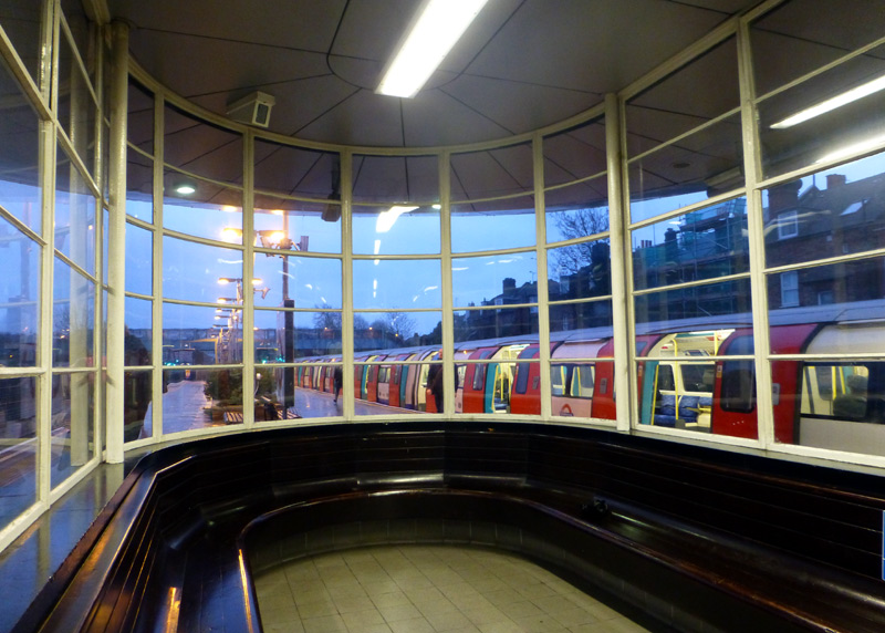
a 1996 Tube Stock train at the northbound platform.
https://maps.google.co.uk/maps?hl=en&ll=51.547403,-0.213118&spn=0.011636,0.027595&t=m&z=15
Jubilee line Part 2: The section between Finchley Road and Baker Street opened in 1939. This was built because the existing Metropolitan Railway route between these two stations could not cope with the number of trains using it and a solution was found in building a new route for small-profile tube trains from Finchley Road to reach the Bakerloo line at Baker Street, and then use the Bakerloo line to replace Metropolitan line trains to Stanmore.
St Johns Wood station is especially feted for its architecture and the distinctive 1930's 'uplighter' lights in the escalator shaft. A short walk from this station is Abbey Road, where there is a famous (music) recording studio and zebra crossing as used by the Beatles pop group on the cover of one of their records.
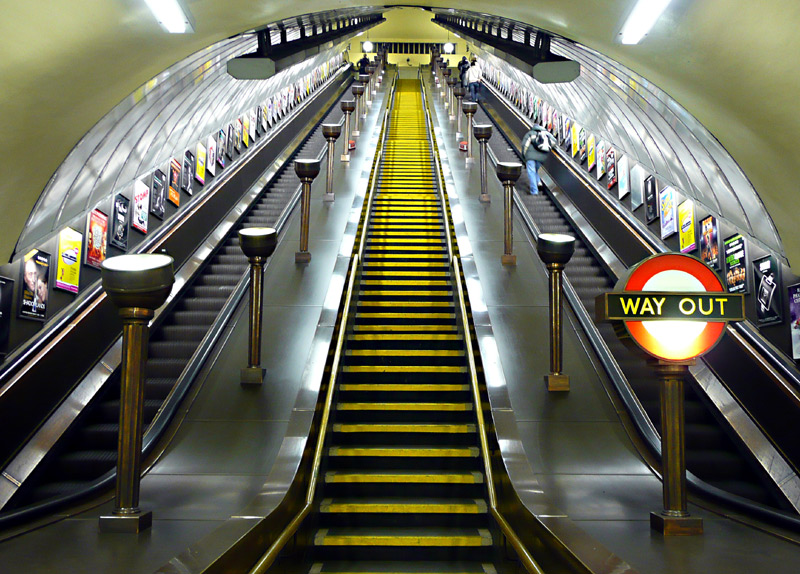
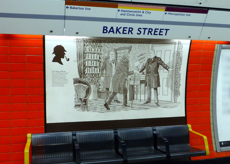
This image shows a scene from The Sign Of Four.
Jubilee line Part 3: As part of a plan to build a new Underground line to south-east London and improve the service on the Bakerloo line a new section of railway was built on a new alignment from Baker Street to Charing Cross via Bond Street and Green Park stations. This opened in 1979 and became known as the Jubilee line. At the same time the new service took over the Bakerloo line route between Baker Street and Stanmore. The tunnels actually extend from Charing Cross towards Aldwych, which was planned to be the next station.
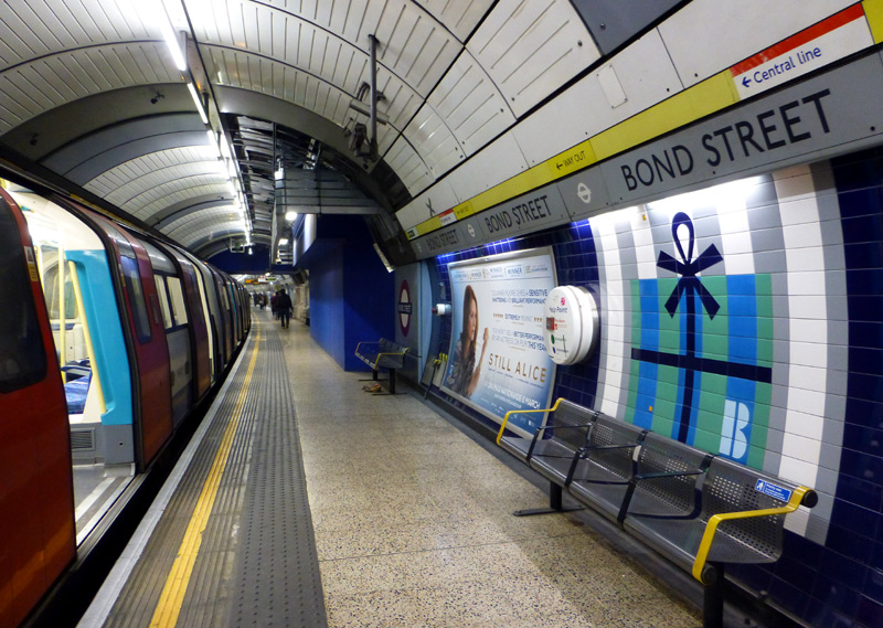

Above the seats can be seen the 'wrapping paper' motif which represents a wrapped gift that had been purchased in one of the many shops (retail outlets / stores) in the vicinity of this station.
this is Southwark station shortly after opening in 1999.
Jubilee line Part 4: The Jubilee line route between Green Park and Stratford opened in 1999 and is known as the Jubilee Line Extension (JLE). Because it was decided that this extension should follow a route via Waterloo station and the south of the River Thames (instead of the previously planned route via Charing Cross and Aldwych stations) the Jubilee line platforms at Charing Cross are no longer used. However trains still sometimes travel to Charing Cross station, albeit only to reverse direction of travel when there is disruption to the service. Passengers are not allowed to travel on these trains. The closed platforms are also often used as 'London' locations by the film (movie) industry, eg: James Bond.
The subterranean JLE stations (Westminster - North Greenwich) have full-height platform edge doors so photographing trains is 'not easy'. However many of these stations have been feted for their architectural merit, especially Westminster, Southwark, Bermondsey and North Greenwich.
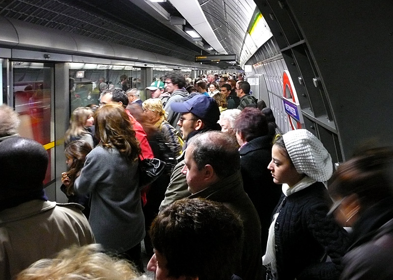
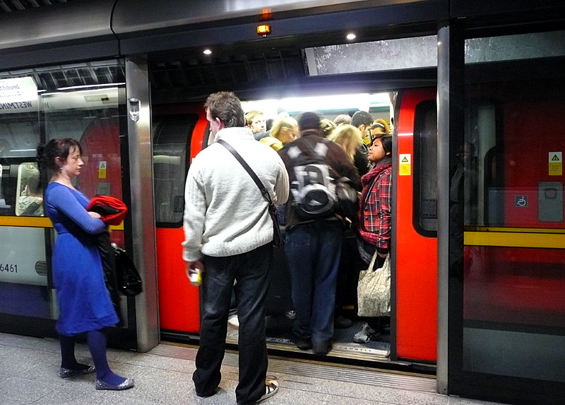
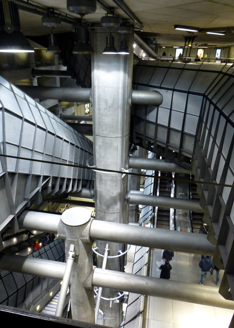
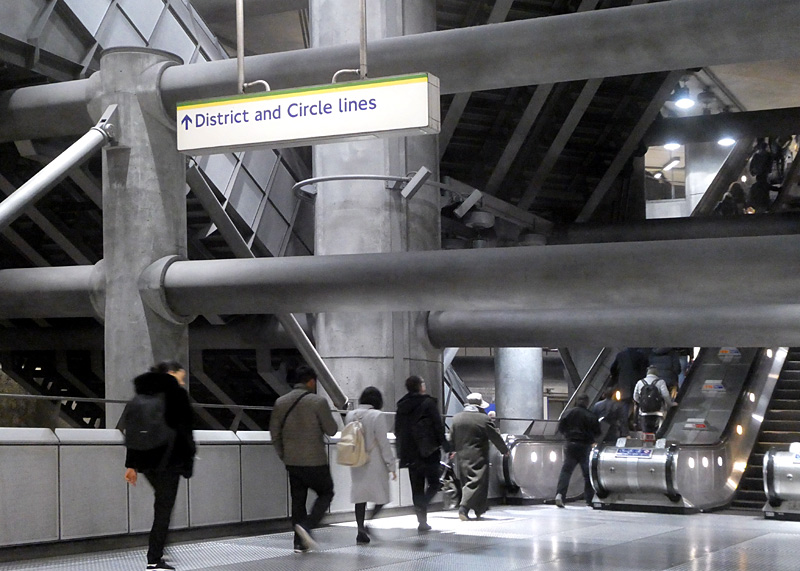
Westminster station has won many awards for its architecture and therefore is also of interest to many people who have no interest in trains. However in many ways it probably would have been better had this station not won these awards, because whilst the station staff will happily use their extensive CCTV surveillance cameras to watch over every part of the station (from their control room) they very much dislike passengers using their cameras to take photographs at this station.
The Jubilee line part of Westminster station includes a large box-shaped hole that was dug out of the ground in which there are many sets of escalators between the different levels. The Jubilee line platforms are stacked one on top of the other, plus there are different escalators for people entering / leaving the station and people changing trains between the Jubilee and District / Circle lines. The flying buttresses, grey concrete walls and tap-tap sounds echoing off the walls as people walk on the metal footplate flooring creates the impression of what being in a space station could be like.

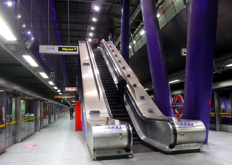


this is a very busy interchange station with the main line railway and the City branch of the Northern Line.
To adequately cope with large passenger volumes it features multiple accesses to / from the station platforms, a set of escalators at
each end (leading to two different ticket halls, one of which also serves the main
line railway station) plus - in the centre - a dedicated
interchange passageway to the Northern line that is reached by a double sided stairway.
The main exit at Canary Wharf station has a bank of five escalators (which lead to an open-air piazza) plus several side exits which lead into an underground shopping and restaurant city. Built in reclaimed docklands the Canary Wharf area has become London's second financial district and everything is very modern. The shopping centre is open every day, and there are free toilets / washrooms / restrooms. The area above the station has been transformed into a very pleasant small city park with seats and water features.
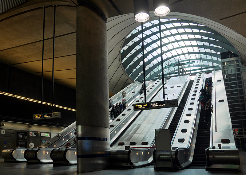
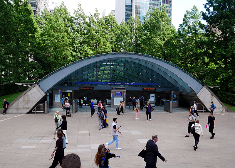
the pedestrian area outside the front of the iconic main station entrance.
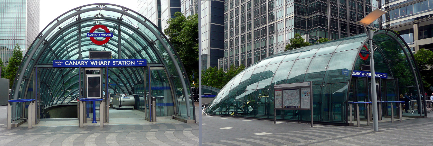
Fully weather protected secondary entrance to Canary Wharf Jubilee line station and shopping centre. |
|

Homeward-bound passengers queue to board a train at Canary Wharf JLE station. |
The station nearest to the Millennium Dome (which nowadays is known as the O2) is North Greenwich. This is also a very busy interchange station with many bus routes that extend to many destinations in south-east London.
North Greenwich station has three platforms. This is because it was meant to be a junction from where a new section of railway would be built to a remote residential area in south-east London that does not have any railway stations (Thamesmead). However it is now unlikely that this extension will be built. This is mainly because the route to Stratford is now so busy that to divert trains away from Stratford station (to Thamesmead) would leave the Stratford route severely overcrowded. Instead the Elizabeth line (Crossrail line 1) station at Abbey Wood serves Thamesmead (via feeder buses).
Between Canning Town and Stratford the route is shared with Docklands Light Railway trains. The DLR is on the eastern side of the Jubilee line. On the western side there is a large depot (between West Ham and Stratford). There is more information about this in the shared service section below.
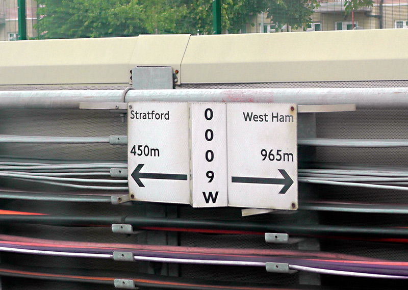
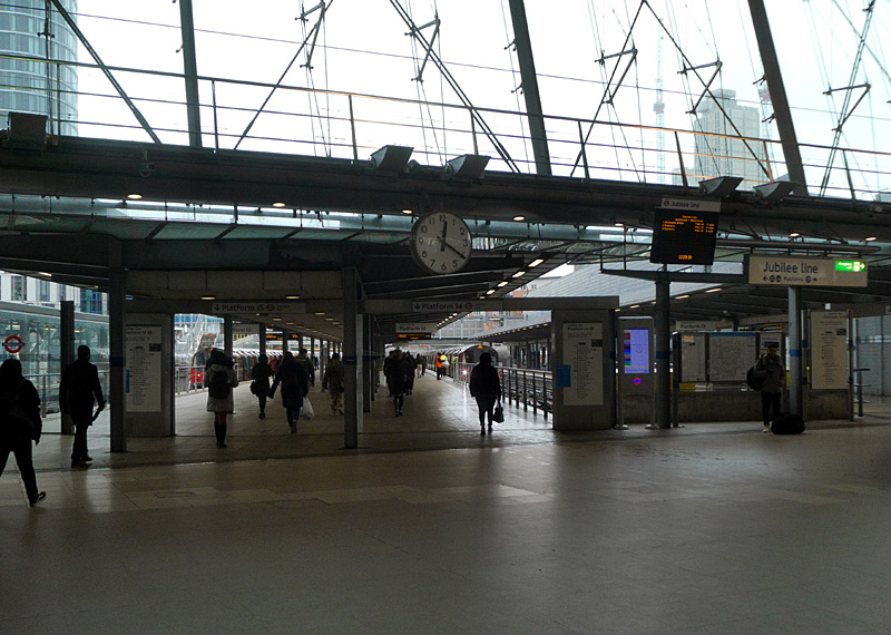
The sign on the low wall says that Stratford is 450 metres in front of this location and West Ham is 965 metres behind this location.
on a north - south axis at the low level part of the station.
At busy times trains often queue to enter Stratford. This could be because the train service is so frequent that this station needs more Jubilee line platforms.
The Jubilee line is also seen (at West Ham and Stratford stations) further down this page in the busier stations in zones 1-4 section of this page below.
|
| Metropolitan Line |
|
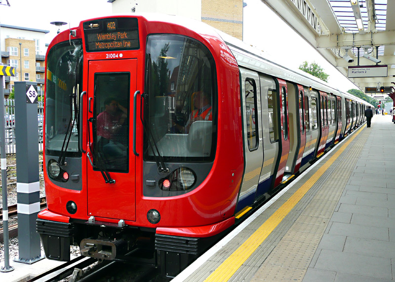

These trains have 3 sets of opening doors per car, air-conditioning and internally are of a walk-through design.
In central London the Metropolitan line has been converted to a GoA 2 (Grade of Automation level 2) semi-automatic train control system (STO) whereby the trains travel automatically from station to station but a human train driver is always present at the front of the train, with duties that include door closing and initiating station departure. In north London the trains are still driven in the traditional way by a real human train driver.
Although they all look the same there are two different types of S Stock trains.
The S7 variant have 7 cars (coaches / carriages) with only longitudinal seating.
These are used on the Circle, District and Hammersmith & City lines.
The S7+1 variant have 8 cars with only longitudinal seating.
There are very few of these trains - which are only used on the Metropolitan line.
The S8 variant have 8 cars with a mix of longitudinal and facing seats.
These are only used on the Metropolitan line.
Doors Auto-Open / Auto-Close:
At stations the passenger doors are opened by the train driver and (if not closed earlier)
automatically close after 45 seconds - but are easily
re-opened using the push buttons.
(Except for Baker Street, where they are open all the time).
Lights on every S Stock car side:
Amber: Passenger doors are unlocked / open
White: It is time for the doors to close and the train to depart
(white - only where there is computerised train control).
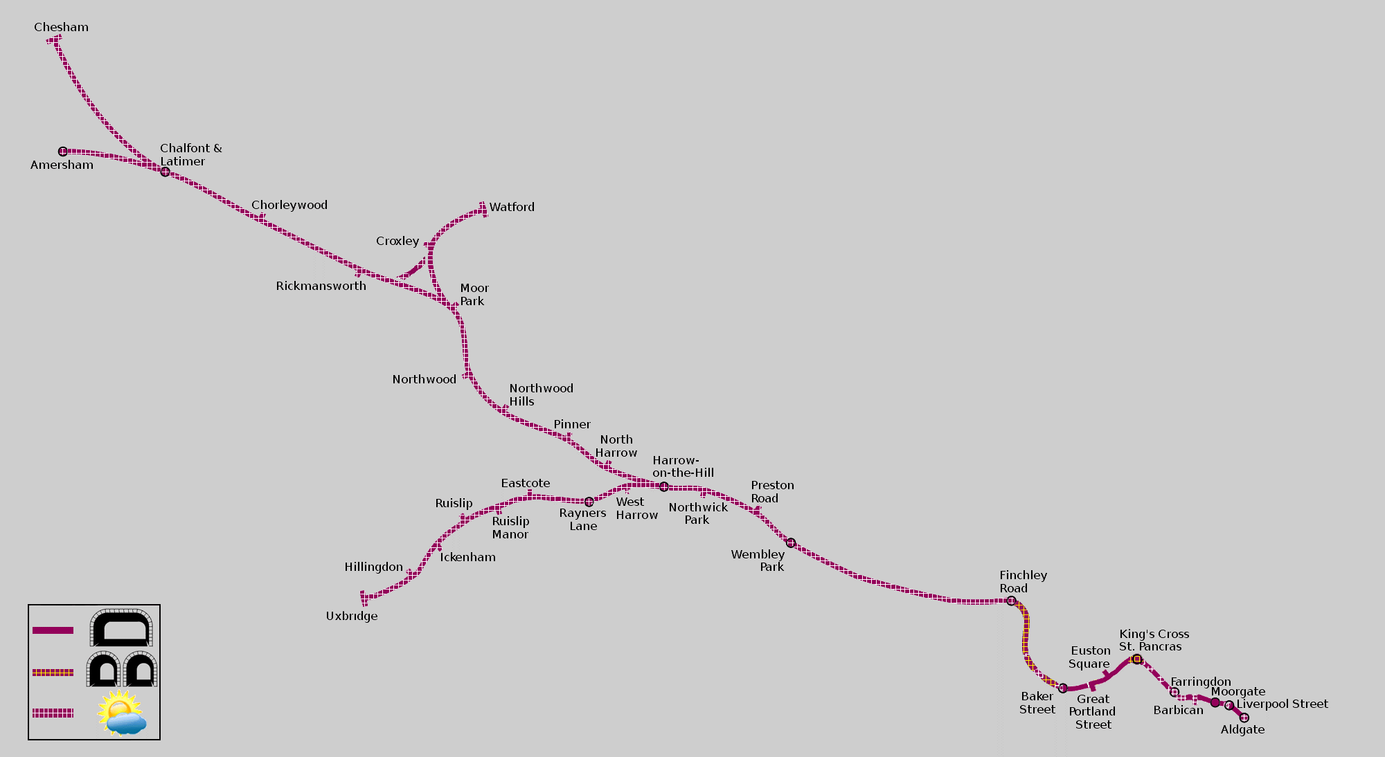
Map modified by me, original source & license: Ed g2s / Wikipedia encyclopædia CC BY-SA 3.0 http://commons.wikimedia.org/wiki/File:Metropolitan_Line.svg
Click map to see larger version in a new window!
| Below / Above Ground |
In tunnel from Aldgate to Baker Street, except for Aldgate, Liverpool Street (part only), Farringdon and Barbican stations. The tunnels between Kings Cross and Barbican stations include some short open air sections which date from the days of steam trains when ventilation openings were needed to allow the smoke to clear.
At Baker Street Metropolitan line trains use platforms 1-4 which are partly in the open. Baker Street - Finchley Road is mostly in tunnel but with some short open air sections. Finchley Road station is above ground and the rest of the line all the way to Amersham, Watford and Uxbridge is above ground - except for a short tunnel on what is known as the North Curve, which is the direct route between Croxley and Rickmansworth. However this section of track is not normally used by passenger trains.
| Claustrophobia |
Information for people who are happy to travel on trains which are above ground but experience claustrophobia
when in tunnels.
The Metropolitan line has a mix of single track and twin track tunnels:
* Between Baker Street and Aldgate stations most of the tunnels are wide enough for two tracks - one train in each direction.
However, at Kings Cross St Pancras station and for short distances either side of the station
the tunnels are single track.
*Between Baker Street and Finchley Road stations the route mostly comprises single track tunnels although there are a few places which have either twin track tunnels or are in open air.
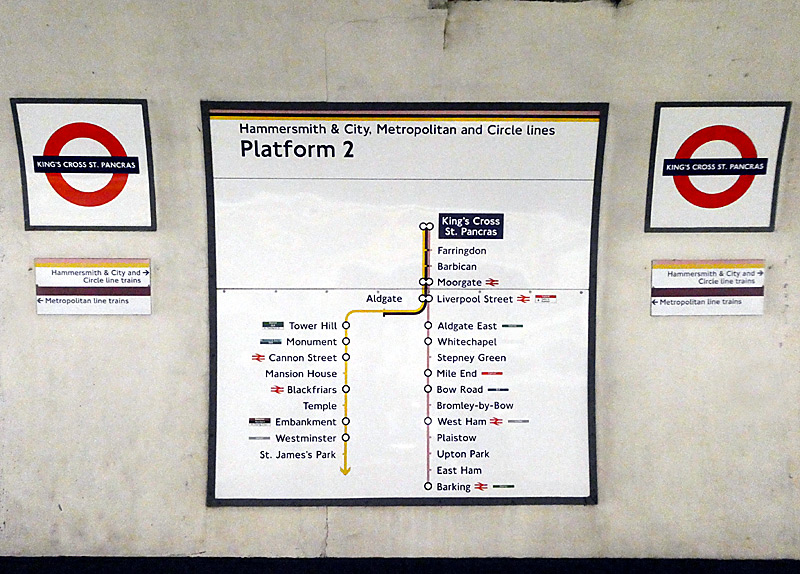
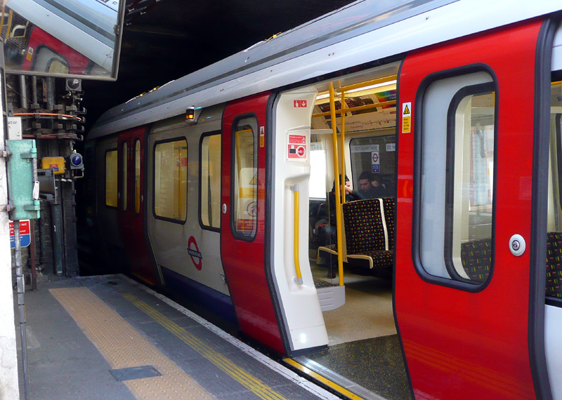
so sometimes the doors at the end of the train do not open and passengers wishing to alight here must walk through the train
to a pair of doors which do open.
| General Information |
The full route of the historic Metropolitan Railway as it was when it first opened in 1863 is now served by the Hammersmith & City line and looked at in the Hammersmith & City line section of this page.
In Central London the historic Metropolitan Railway also built the routes Edgware Road - South Kensington (via High Street Kensington) and Moorgate - Aldgate - (Tower Hill). These sections of railway were built for what was originally called the Inner Circle* and are mostly looked at on the Circle line section of this page.
*In the steam train era London had four 'Circle' lines, although only one of them actually formed a complete circle around London.
The route north of Baker Street is mostly shared with other services and is looked at in greater detail in the Shared Service Routes section.
The information below only explores the Metropolitan line as it is today, and only briefly because the majority of the line is a long way out from Central London in fares zones 4 - 9.
Some trains from suburban London only travel as far as Baker Street - despite being part of the 'Underground' the Metropolitan line is more like an outer-suburban railway than an inner-city urban railway.
Do look at the 'next train' describers before boarding a train, as some journeys can take you a long way without stopping! After Baker Street all trains stop at Finchley Road and Wembley Park (the latter northbound only), but after that some trains may stop next at Harrow-on-the-Hill, which is in zone 5 and then Moor Park, which is a zones 6 & 7 boundary station.
Several stations built by the former Metropolitan Railway feature a broadly similar grandiose distinctive design theme, as seen in the Edgware Road image right.. These include:Aldgate, Farringdon, Great Portland Street,
Paddington (the Bakerloo, District and Circle lines station on Praed Street)
Willesden Green (nowadays normally served by the Jubilee line).
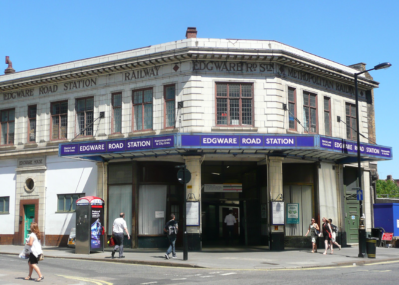
Typical grandiose Metropolitan Railway styled station building.
This is Edgware Road (subsurface) station which nowadays is
served by Hammersmith & City, Circle and District line trains.
Baker Street - Finchley Road has four tracks (two Metropolitan line, two Jubilee line), but as everything is in tunnels this can not be seen.
When travelling through the Metropolitan line's tunnels between Baker Street and Finchley Road you may spot the remains of several stations. These stopped being used in 1939 when a new deep-level tube-train service (nowadays part of the Jubilee line) was opened. The original intention was to retain these stations for 'special occasions' (such as cricket at Lords) but in the event the onset of WW2 saw them being permanently closed.
Metropolitan line trains also used to call at stations between Finchley Road and Wembley Park, this too stopped (on a full-time daily basis) in 1939 when the tube trains took over the Stanmore service. However early morning / late evening Metropolitan line trains continued to call at all these intermediate stations until the Jubilee line was resignalled with a new computerised signalling system in circa 2010. Nowadays when Jubilee line services are disrupted Metropolitan line trains sometimes also call at Neasden and Willesden Green stations, this is possible because these two stations also have dedicated Metropolitan line platforms.
If travelling to stations beyond Harrow-On-The-Hill you can also travel on the diesel Chiltern Railways trains from London Marylebone station, changing en route if required. Make sure to catch a train travelling to Aylesbury via Amersham and that it calls at the station where you want to alight! Travelcard and PAYG tickets can be used on these trains - but only as far as Amersham.
Between Harrow-On-The-Hill and Amersham the Chiltern and (some) Metropolitan trains use the same tracks and operate a joint service. Chiltern Railway trains typically include toilets, seats with tables and even laptop power sockets.
Be aware that these stations are a long way away - even with 'fast' trains Amersham and Chesham are about an hour (60 minutes) from Central London (Aldgate). Getting to Chesham used to require a change of train at Chalfont & Latimer, but since 2010 almost all trains travel through to Baker Street (although it is usually faster to catch a Chiltern Railways train from Marylebone and change at Chalfont & Latimer). Chesham is a nice small town with a pedestrianised shopping street a few minutes walk from the station and the rural countryside scenery out the train's window is very pleasant.
Fares Information
If you are travelling to any station beyond Moor Park note that these places are outside zone 6 so if you have a Travelcard ticket it needs to be valid for zone 7
- and depending on your ultimate destination possibly also zones 8 and 9.
Because the cost of paper one-day Travelcards for these zones is ‘very expensive’ it is usually much cheaper to pay fares using ‘Oyster or contactless PAYG’. Unfortunately this means that you will be subject to journey time limits, so you should not spend too long at stations watching trains. One possible alternative solution is to use PAYG in one direction and buy a 'paper' single ticket in the other direction. Single journey paper tickets are also not cheap - but they do not have journey time limits. Of course you must only travel in the correct direction (ie: no backtracking) and should not break your journey to leave the station.
If you do wish to make short journeys and leave the stations then paying individual fares for each journey using PAYG will be the most cost effective solution - and you might even reach the daily fares cap, which will mean that the rest of your travel that day will be 'free'. Note that on Monday - Friday journeys which start between 4pm and 7pm (16:00 and 19:00) are more expensive, although this will not matter if you reach the daily fares cap.
It is also worth remembering that if you have a BritRail pass, Eurail pass or an All Line Rover then these can be used at any station that is served by Chiltern Railways trains. With these tickets it is best to only travel on Chiltern Railways diesel trains, as they may not be valid on Underground trains.
As these stations are outside of London very few buses will accept Oyster cards and the bus fares might be higher.
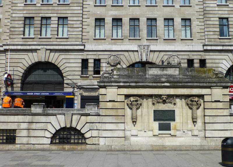
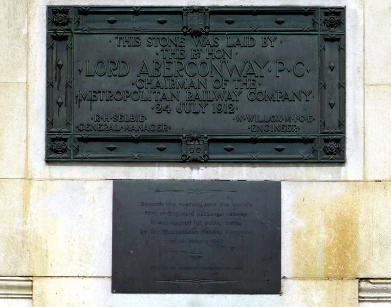
These views show the main station frontage (which was rebuilt in 1911) as seen from the Marylebone Road and a closer view of the plaques.
Clicking this link
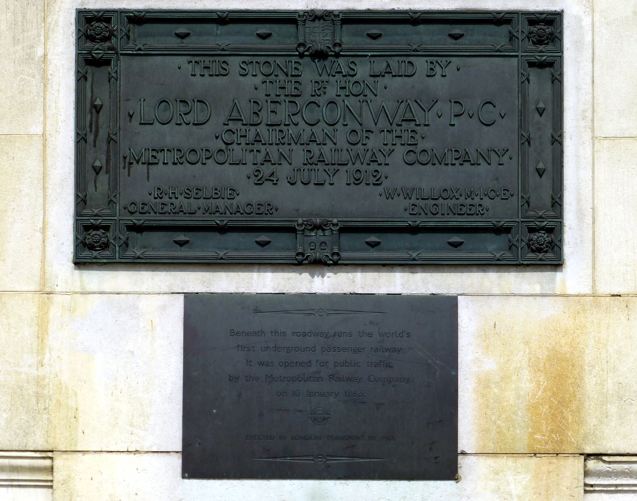 will open (in a new window) a very large version of the image on the right so that the writing can be read.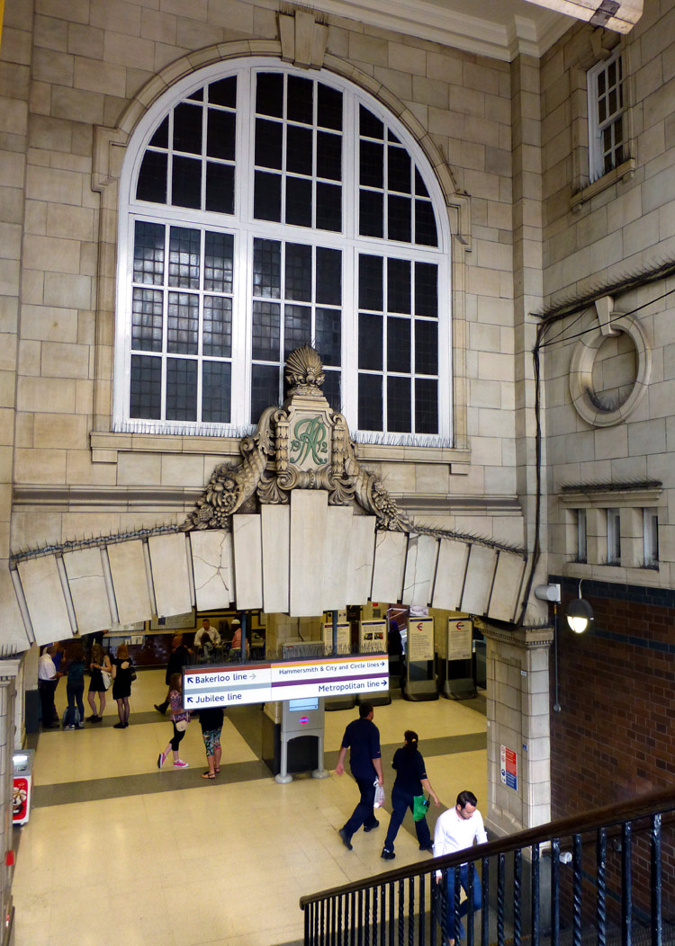
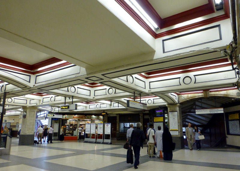
leads to the Metropolitan line ticket hall.
The standing passengers are waiting to see from which platform their trains will depart - trains to Amersham, Chesham, Watford and Uxbridge usually depart from platform Nos. 1, 2, 4.
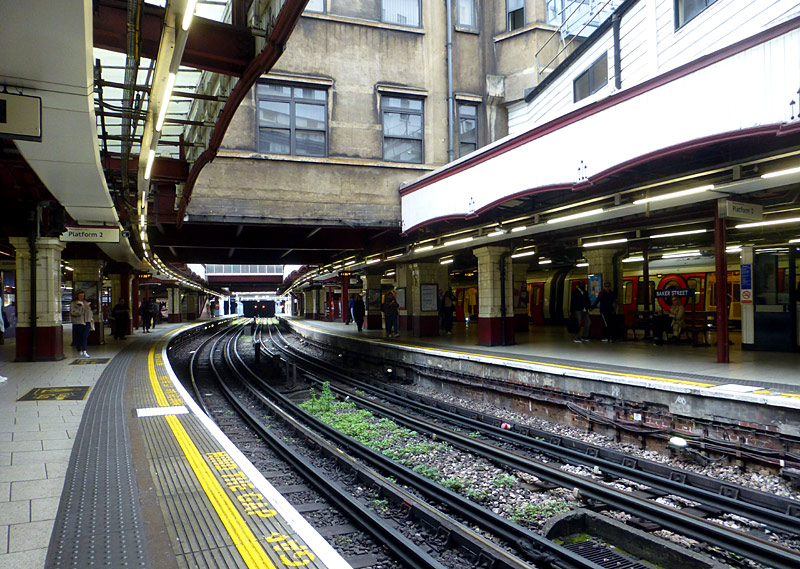

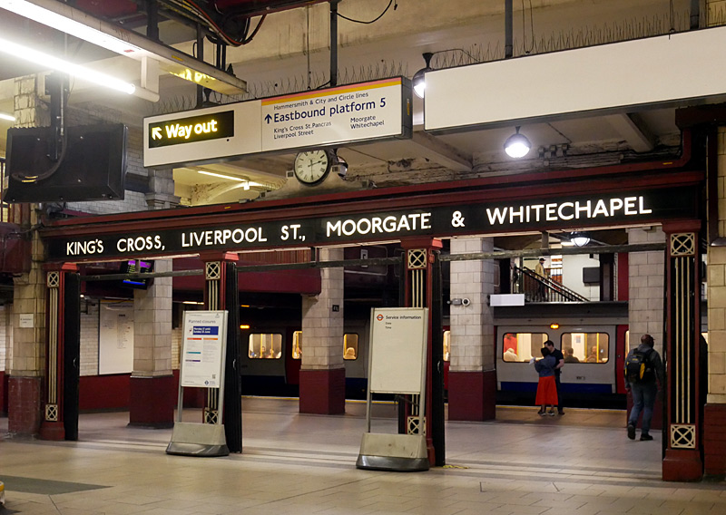
In some ways this can be seen as an entrance portico, with the names of stations served sometimes being changed to reflect changes in the routes and destinations served as the service devolved over the years. This structure includes sliding metal gates so that part of the station can be sealed-off, as required.
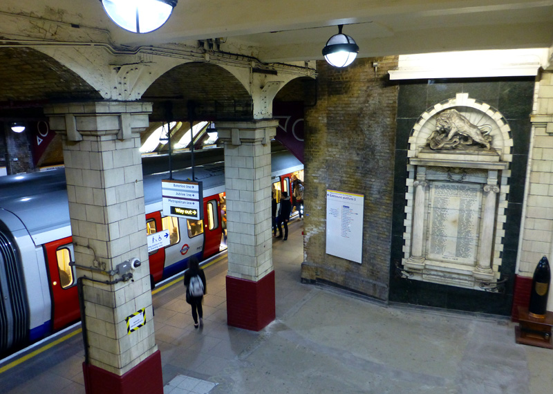
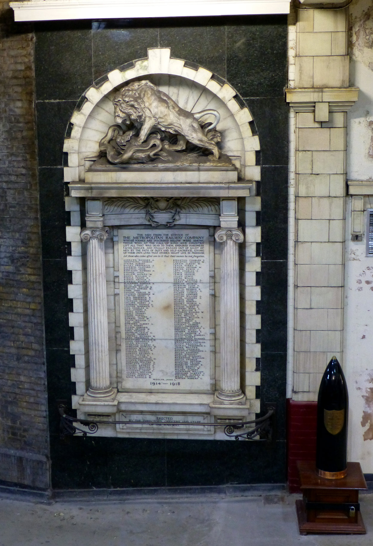
Clicking this link
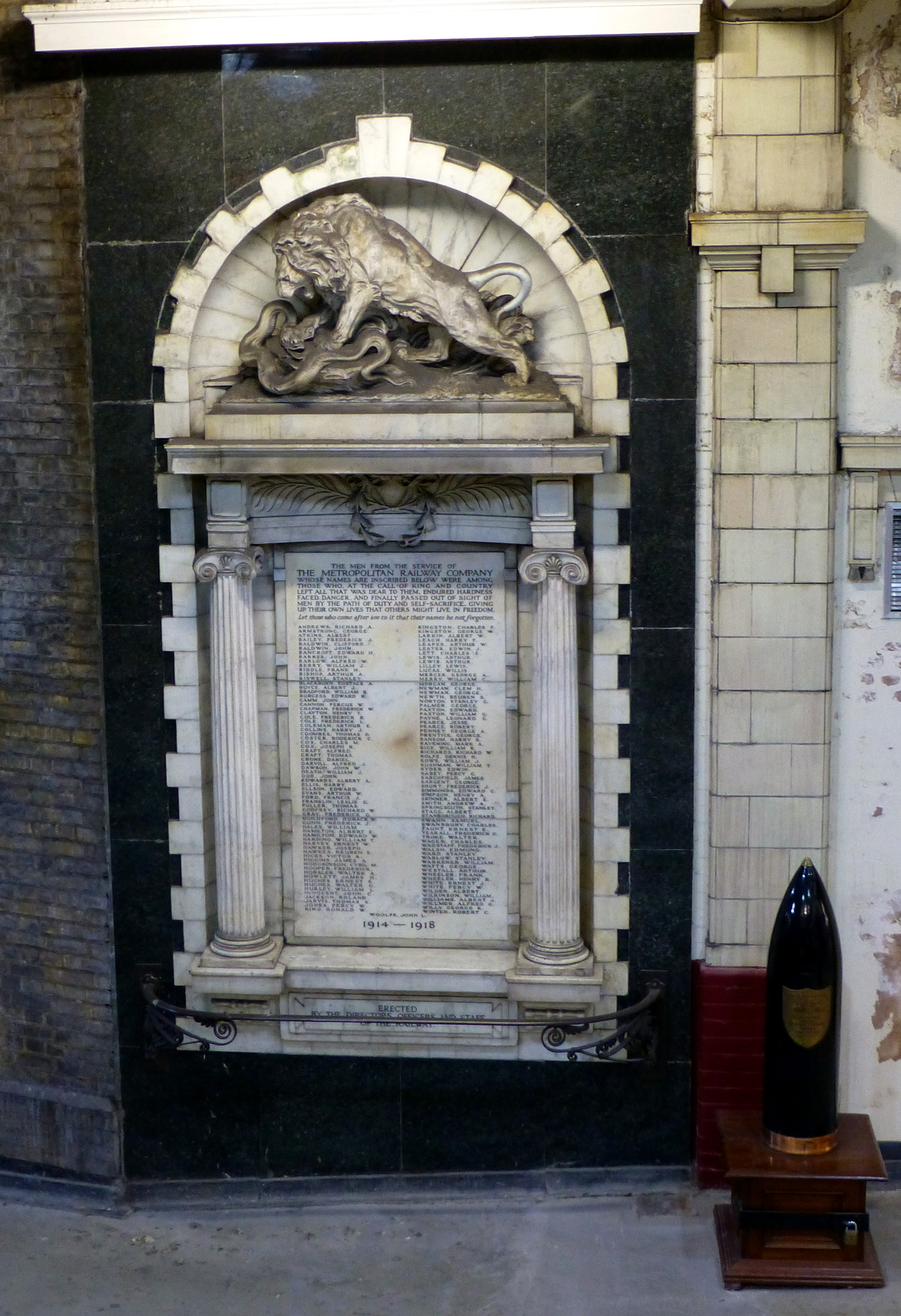 will open (in a new window) a very large version of the image on the right so that the names of the deceased can be read.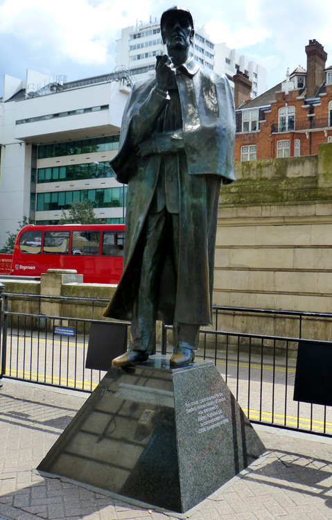
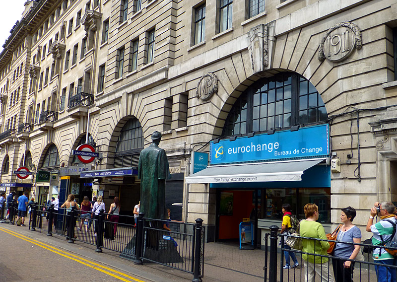
Because of the direction of the sun it is often easier to photograph the back of the statue than the front.
Places where I sometimes go to watch trains on this route include the car park next to the northbound platform at Chorleywood and the road bridges near this station. If using Oyster PAYG as a ticketing solution then remember to 'touch-out' on the card reader before leaving the station - the exit to the car park has a card reader for this very purpose. If it does not register your exit then visit the ticket office and seek help.
I also like to go to Rickmansworth, the shopping street is near the station (turn right out of the station and walk though the road / pedestrian underpass below the railway) and I sometimes watch trains from the top floor of the car park at the Waitrose food store (keep walking past the underpass). The photograph (below-right) was taken from a footbridge to the south of the station - although there are railings I found a small gap which made this view possible.
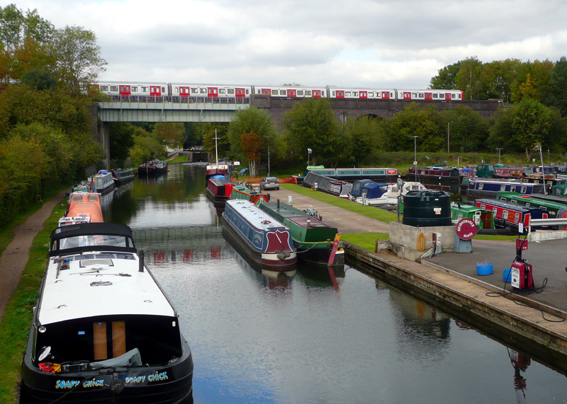
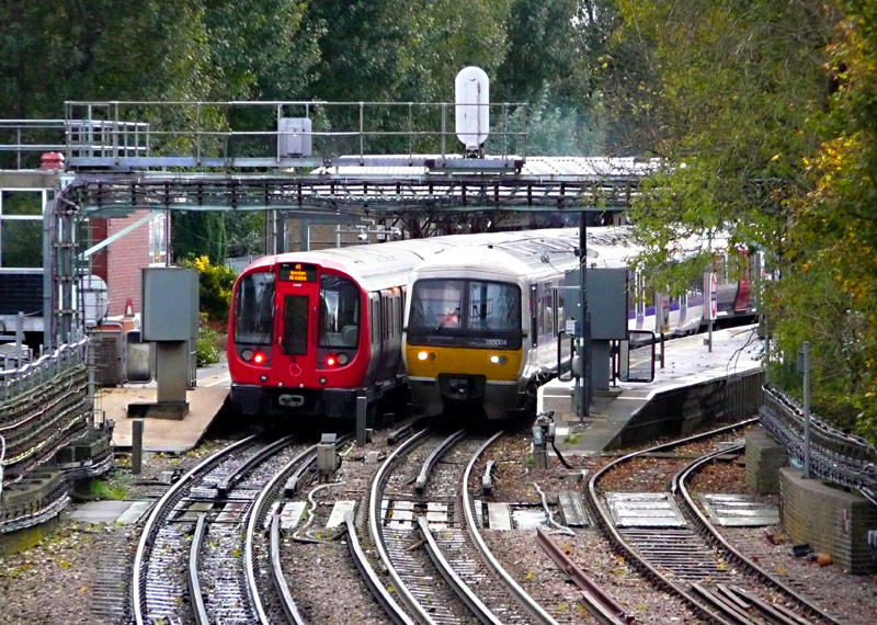
the Grand Union canal near to Watford (Met) station.
Marylebone and Metropolitan line S stock train heading
for Amersham pass at Rickmansworth station.
The route to Uxbridge has a mix of stations, Ruislip is an older Victorian-era station whilst Hillingdon is modern with lots of glass - and peeling paint. Rayners Lane and Uxbridge are 1930’s ‘Art Deco’. Services are shared with the Piccadilly line but note that the journey (from Kings Cross station) to Uxbridge takes about 20 minutes longer on the Piccadilly line.
Chiltern Railways trains can be used as part of a journey, just for the ride experience, eg: for a trip to the large town at Uxbridge. Of course you will need to change trains at Harrow-on-The-Hill and complete the journey by Metropolitan line train.
You will also need to change trains at Harrow-on-The-Hill if going to Watford, as trains operated by Chiltern Railways no longer call at Moor Park. Also, the Metropolitan line station at Watford is not near the town centre - when this line was built Watford station was designed as a through station and the Metropolitan Railway bought a building in the town centre to use as a terminus station but the extension to the town centre was never built.
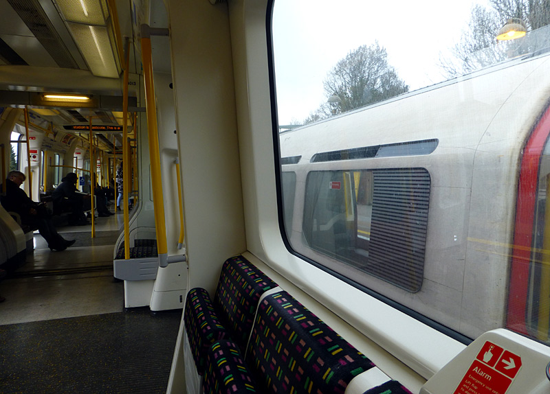
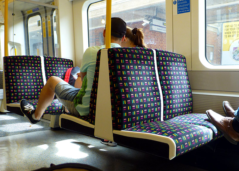
a Piccadilly line tube train somewhere on the shared route
between Rayners Lane and Uxbridge.
S stock 7+1 trains were ordered as extras for a planned extension to Watford Junction that was cancelled because of a lack of finance. These only have inwards-facing longitudinal seats.
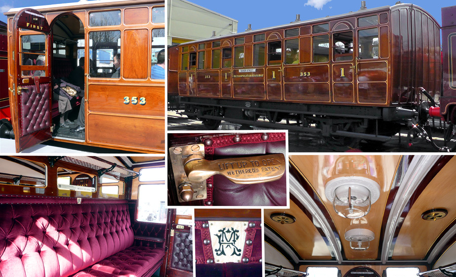
 .
.Preserved Historic Metropolitan Railway / Line Train
This page (on this website) looks at some surviving historic Metropolitan Railway trains, including the preserved Vintage (1898 and 1900) passenger carriages which were used on the Chesham shuttle service
until replaced in the early 1960's. http://citytransport.info/Vintage.htm
A four carriage train of these carriages was preserved in the 1960's by the Bluebell Railway and sometimes carry's passengers. The Bluebell Railway is easy to reach by train at East Grinstead station.
The Bluebell Railway website: http://www.bluebell-railway.co.uk/
Another of these carriages has been preserved at the London Transport Museum in Covent Garden and one of the compartments (ie: seating areas) has its door open so that visitors can enter and sit in it. The London Transport Museum is very easy to find in the historic leisure-themed Covent Garden area.
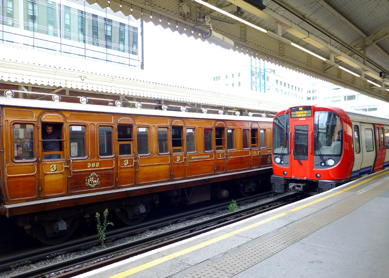
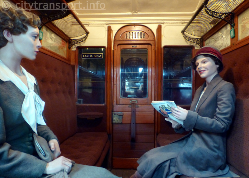
train built 1898 - 1900 and a more
modern S stock train(!) at Hammersmith (Met) station.
The vintage train is sometimes used in passenger
service - at the Bluebell Railway.
the London Transport Museum in Covent Garden.
|
| Northern Line |
|
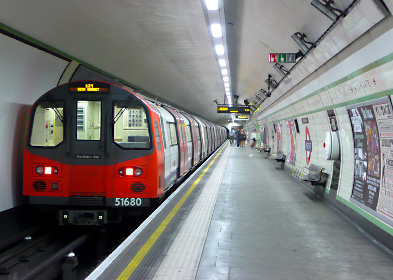
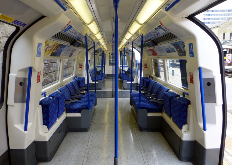
Northern line trains use a GoA 2 (Grade of Automation level 2) semi-automatic train control system (STO) whereby the trains travel automatically from station to station but a human train driver is always present at the front of the train, with duties that include door closing and initiating station departure. To ensure that train drivers retain their train driving licences they sometimes still drive the trains manually.
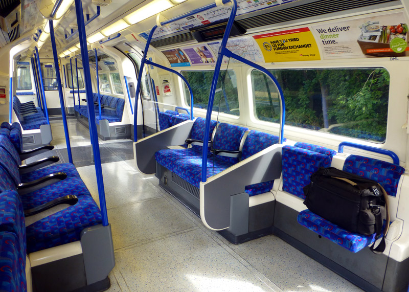
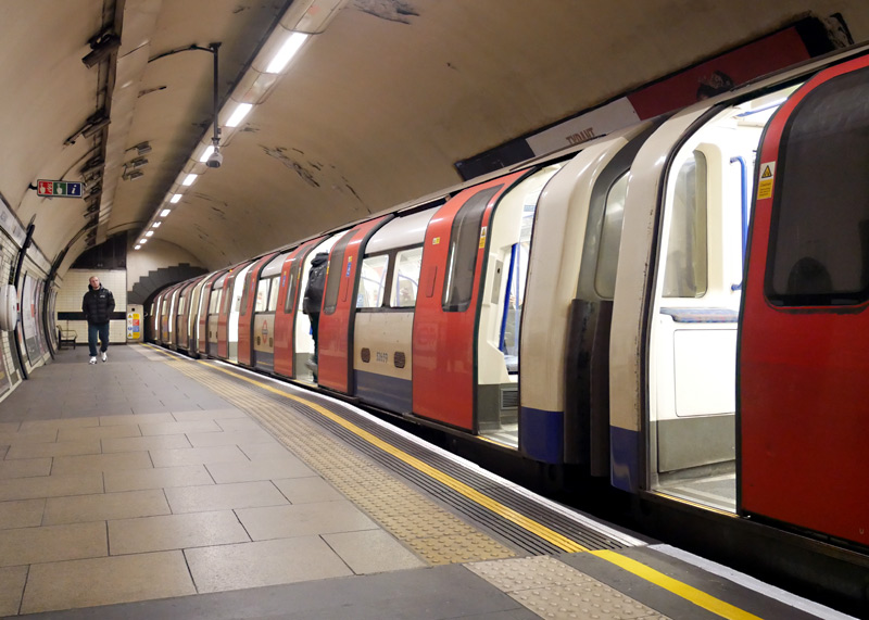
In addition, some Northern line stations have raised portions of platform so that wheelchair passengers can benefit from 'level access' - this
example was photographed at Archway station. However only some stations have been upgraded to become fully accessible.

Next to every door is a light that flashes when the doors are closing. `
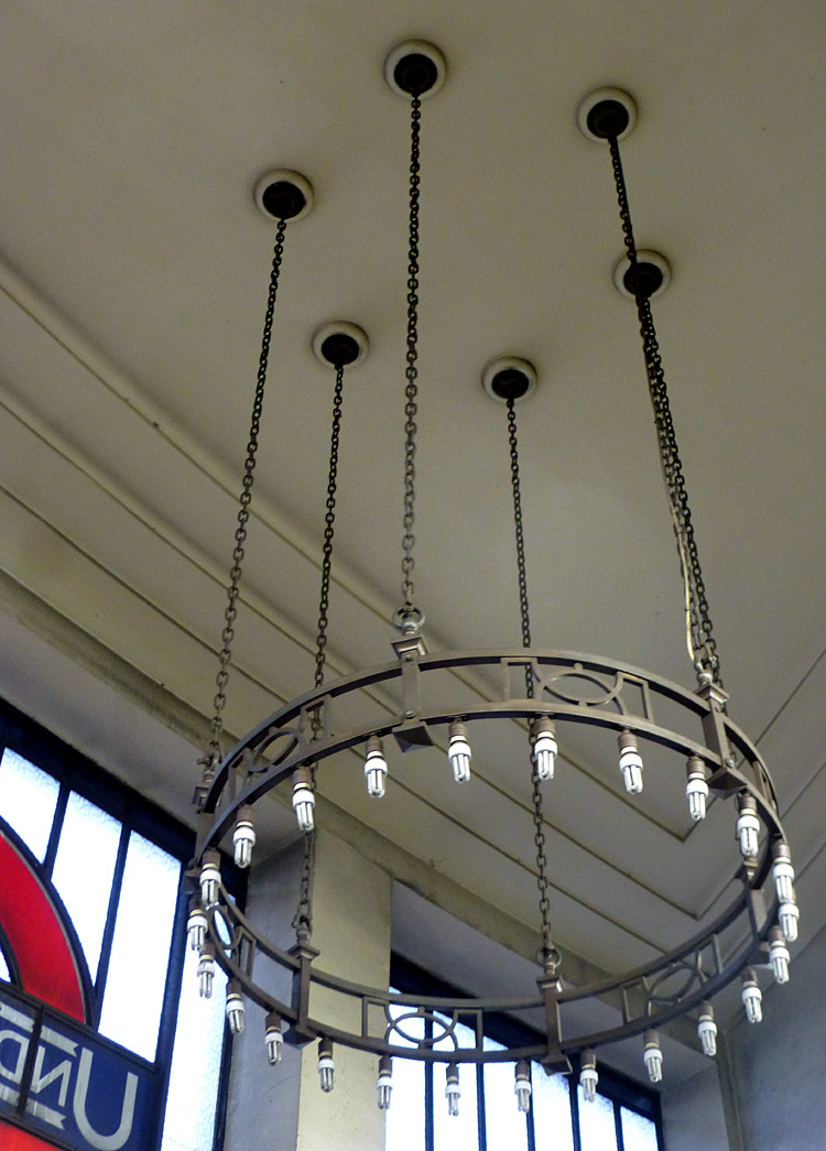
Arts and Crafts-style chandelier at South Wimbledon station - similar is also found at other south London stations (to Morden) which opened in 1926.
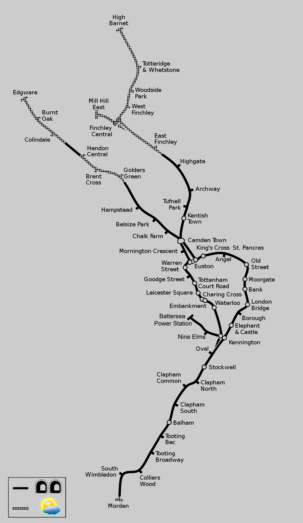
Map modified by me, original source & license:
Ed g2s / Wikipedia encyclopædia CC BY-SA 3.0
http://commons.wikimedia.org/wiki/File:Northern_Line.svg
Click map to see larger version in a new window!
| Below / Above Ground |
Entirely underground from just outside Morden to just before Golders Green / East Finchley.
The sections from East Finchley to Mill Hill East / High Barnet and Golders Green to Edgware are in the open air. There is a short tunnel between Hendon Central and Colindale.
| General Information |
The Northern Line was given this name in 1937 when expansion plans included its trains taking over three Northern Heights railway routes in north London. Before this renaming it was known as the Morden - Edgware line.
At 17 miles 528 yards (27.841km) in length, for many years the section from East Finchley to Morden via Bank formed the longest continuous passenger railway tunnel anywhere on Earth.
Central London:
Charing Cross Branch: Some southbound trains which travel on the Charing Cross branch end their journeys at Battersea Power Station, whilst other trains only travel as far as Kennington - where passengers have a ‘same level’ interchange with southbound trains from the Bank branch. Very few Charing Cross branch trains go to Morden - instead passengers must change trains at Kennington.
Several stations have been nicely refurbished, especially the platforms. Only some stations still retain their original ruby red brick station buildings.
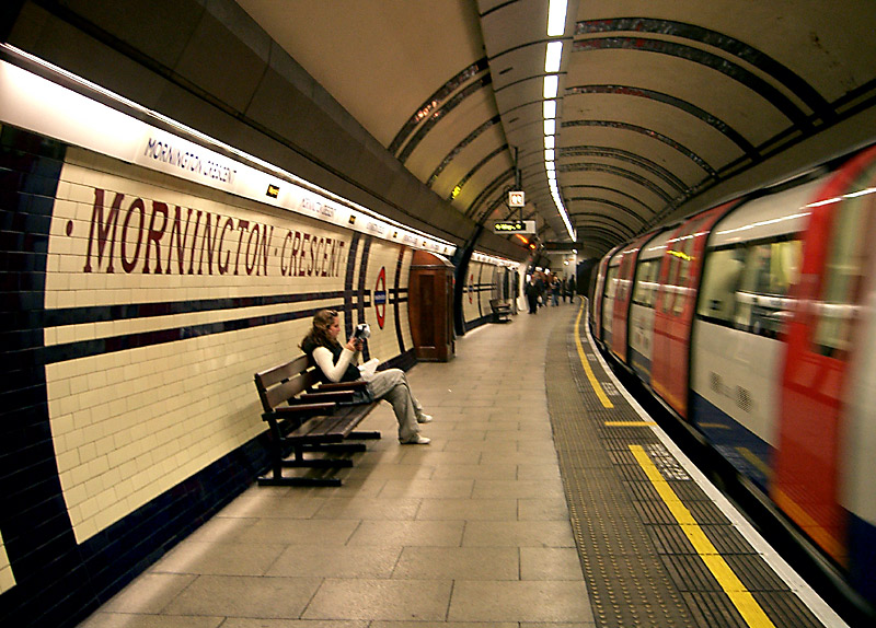
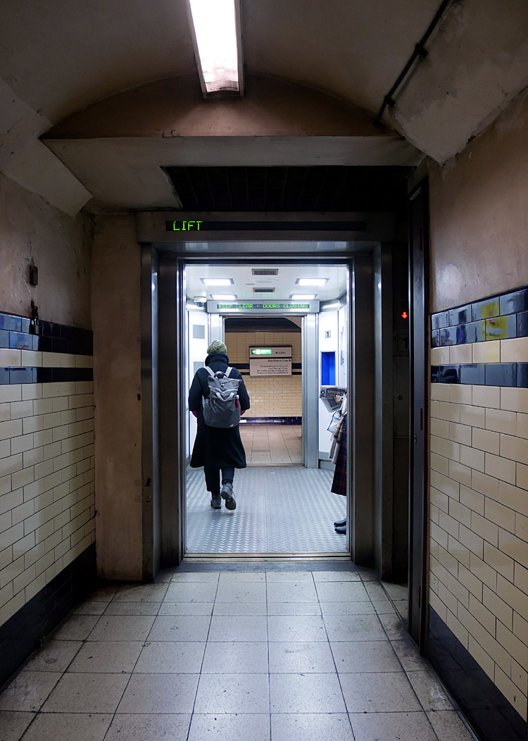
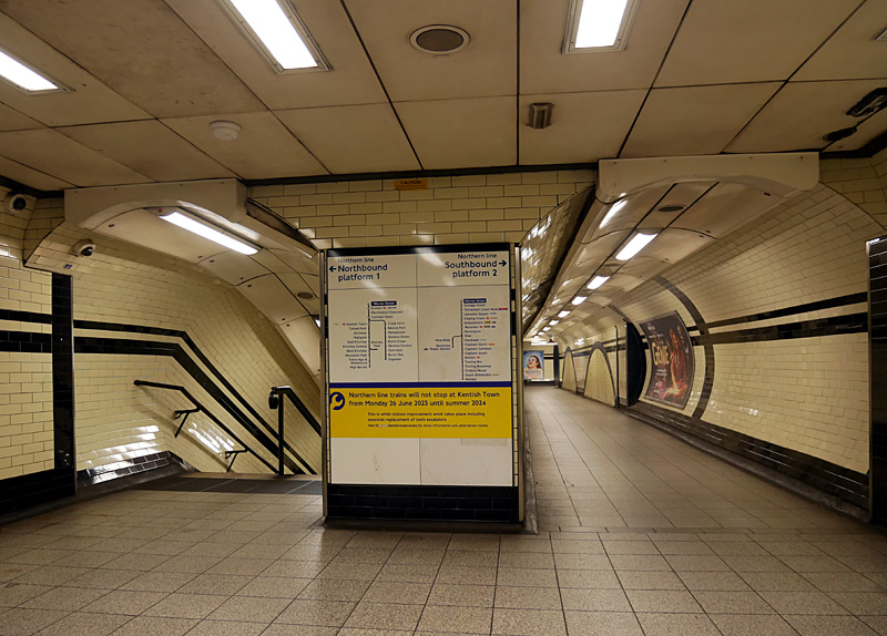
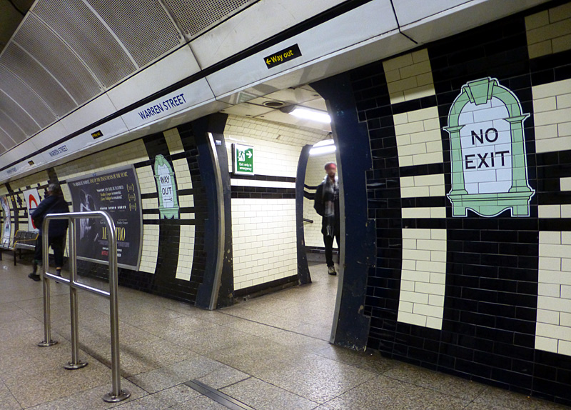
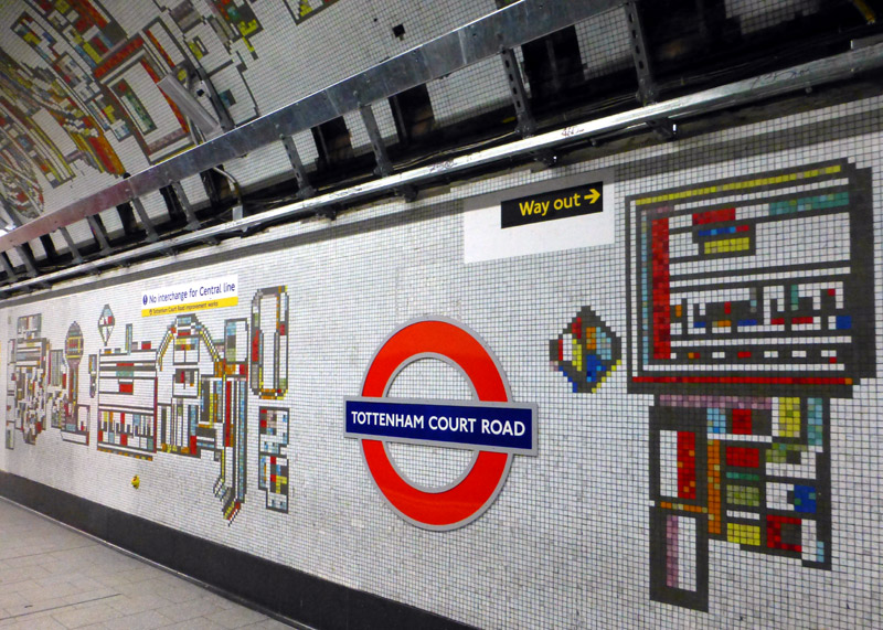
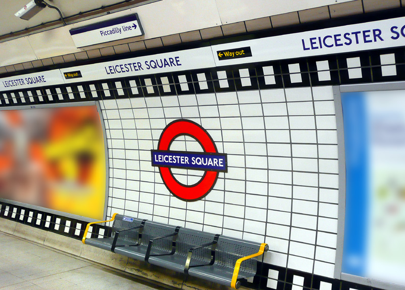
The sprockets are coloured black the Northern line platforms
(as here) and blue on the Piccadilly line platforms.
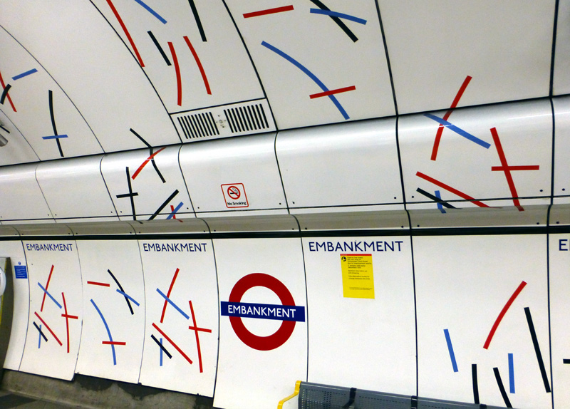
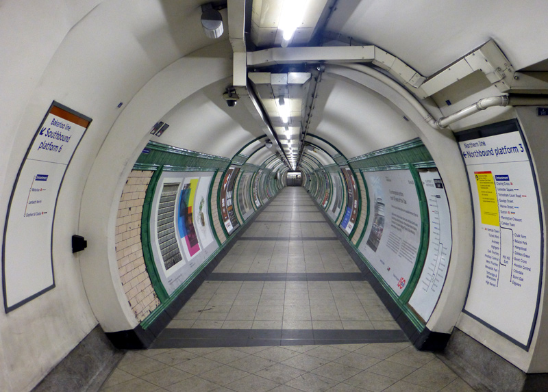
Whilst the decorative stripes are repeated on all three sets of platforms (Northern, Bakerloo, District & Circle lines) there are subtle differences in the pattern designs and colours.
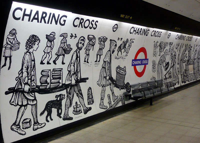 |
|
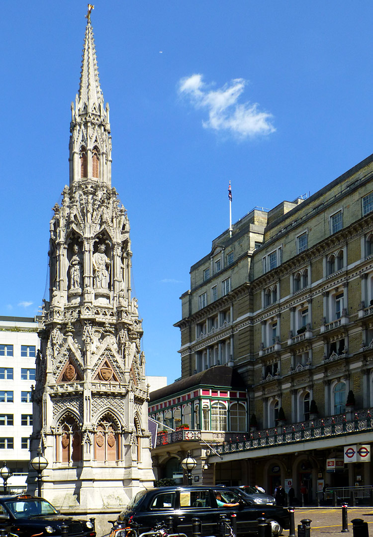 |
|
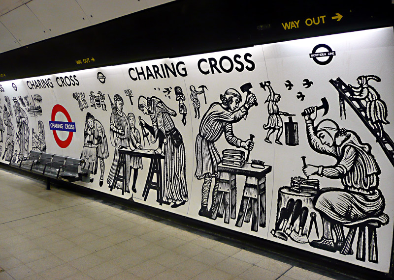 |
Middle image: The Eleanor Memorial in the forecourt of Charing Cross station.
Bank Branch: For part of the route the trains travel on the right but because the line is deep underground this is only seen at stations (Bank, London Bridge, Borough).
When built the stations at Angel and Euston (Bank branch) both featured very narrow island platforms serving both tracks but nowadays the stations have been rebuilt and the trains have separate platforms. It is possible to tell which is the original platform because the former trackbed was filled in, making the old platform extra wide.
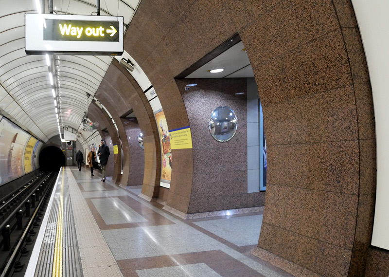

(Bank Branch) which since the other direction's track was
filled in has become wider than normal.
In February 2023 a seven year upgrade at Bank station was completed. This project included building two new station entrances, installing lifts to make the Northern line step-free between the street and the platforms, improving access to the DLR and Waterloo & City lines, digging (by hand!) a new southbound platform for Northern line trains, tunnelling a short diversion for the trains to reach the new platform, converting the old southbound platform to become an interchange passageway, tunnelling brand new passageways to make interchange easier between the Northern line and the DLR and also between the Northern line and the Central line... and more!
Many new escalators have been installed and two moving walkways help shorten the time it takes to walk between the Northern and Central lines.
Normally works of this scope would include closing many of the older interchange (etc) passageways, but at this station an advantage has been seen in keeping everything open - effectively giving passengers a choice of walking route and creating resileance if one route becomes temporarily blocked, eg: a passenger is taken ill. This means that the older interchange with the Central line which includes two spiral staircases (one for passengers walking in each direction) is still open.
The new works introduced a different colour scheme to the station ('bathroom' blue and white) instead of following the existing marble effect grey and white. In addition, the new platform does not include the tiled griffin design on its walls. As the images show, this creates a somewhat disjointed visual effect.
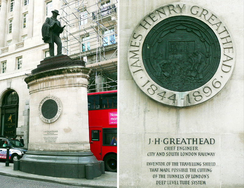
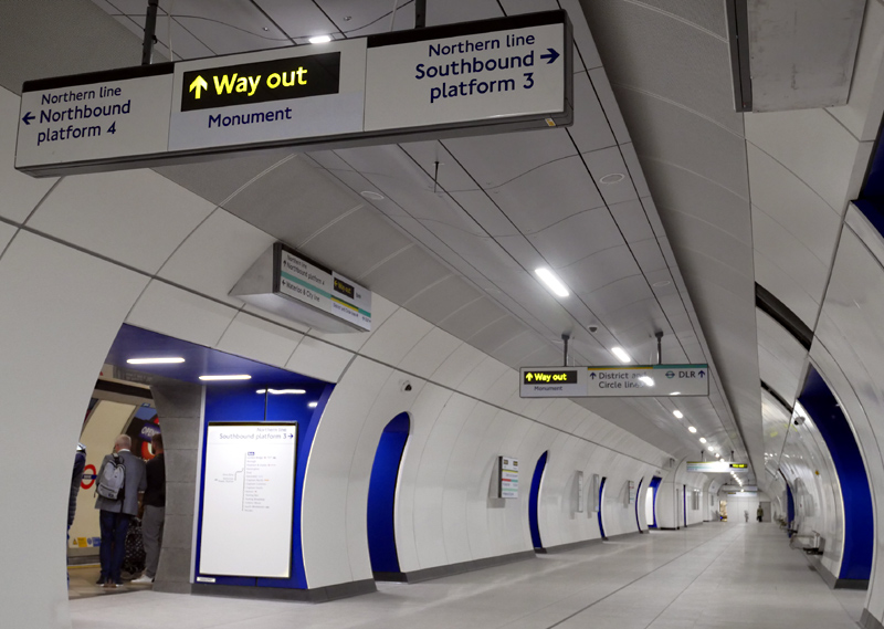
Opening in 1890 the City and South London Railway (C&SLR) was London's first deep level underground railway to be bored with a tunnelling shield and the first major British railway to use electric traction.
The black line on the floor along its middle denotes the former platform edge - this photograph was taken from the part of the station tunnel which was previously the track bed.
This view also shows a small section of the northbound platform and it is possible to see the marble effect grey wall next to the blue wall.
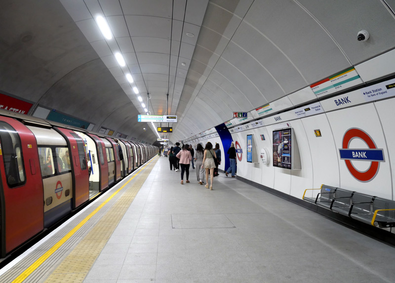
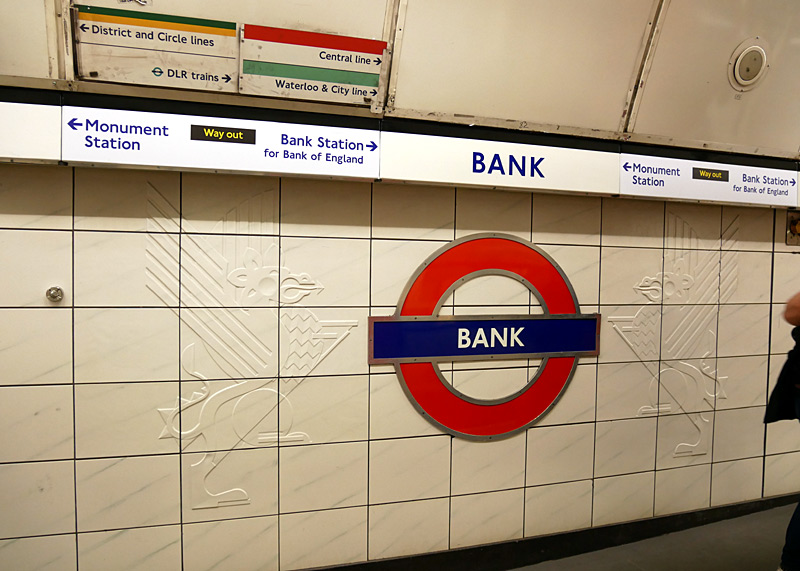
South London:
The route between Stockwell and the now closed station at King William Street was London's first deep-level tube railway. Built by the City and South London Railway (C&SLR) it opened in 1890. Although it has now has more platforms much of Kennington station is still as it was built by the C&SLR. The old route to King William Street branched off the existing route between Borough and London Bridge stations.
Clapham North and Clapham Common stations still retain their very narrow island platforms between the tracks.
The stations Clapham South - Morden date from the 1920's and are of architectural merit. The street-level structures are of white Portland stone with tall double-height ticket halls, with the London Underground roundel made up in coloured glass panels in large glazed screens.
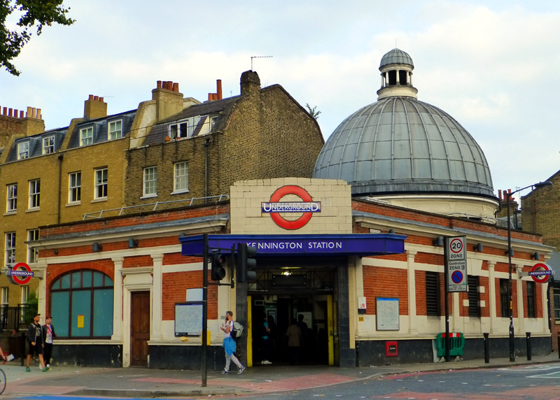
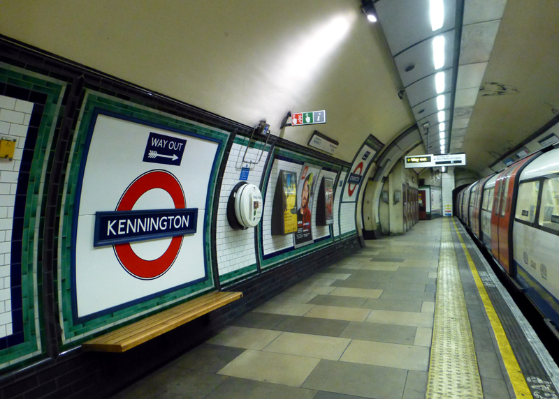
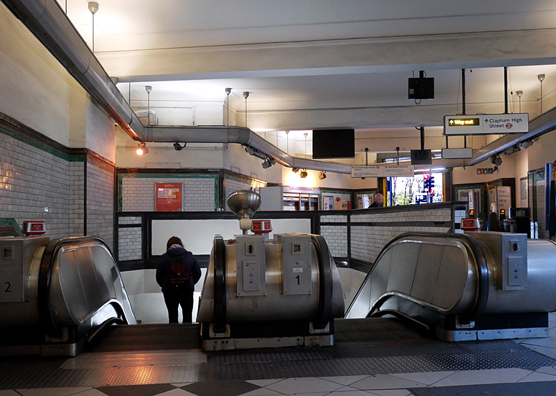
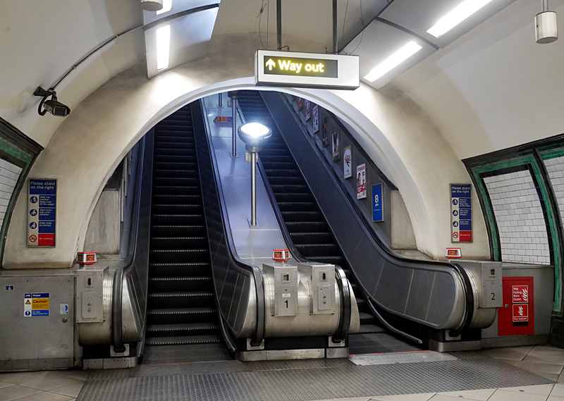
Clapham North Underground and Clapham High Street Overground stations are designated interchange stations. Passengers who wish to change trains here and are paying their fares in PAYG (pay as you go) mode can take advantage of the 'out of station interchange' feature (OSI) to be charged one through fare for their journey.
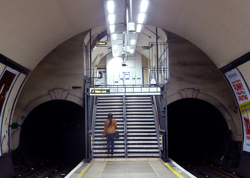
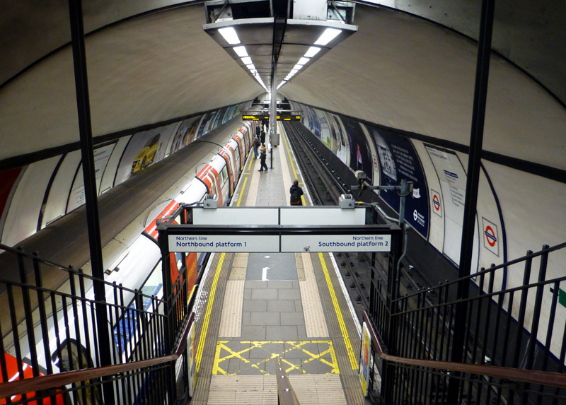
The ambiance is very similar to many stations on the Glasgow Subway.
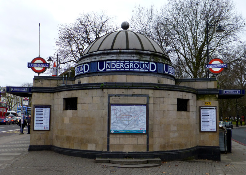
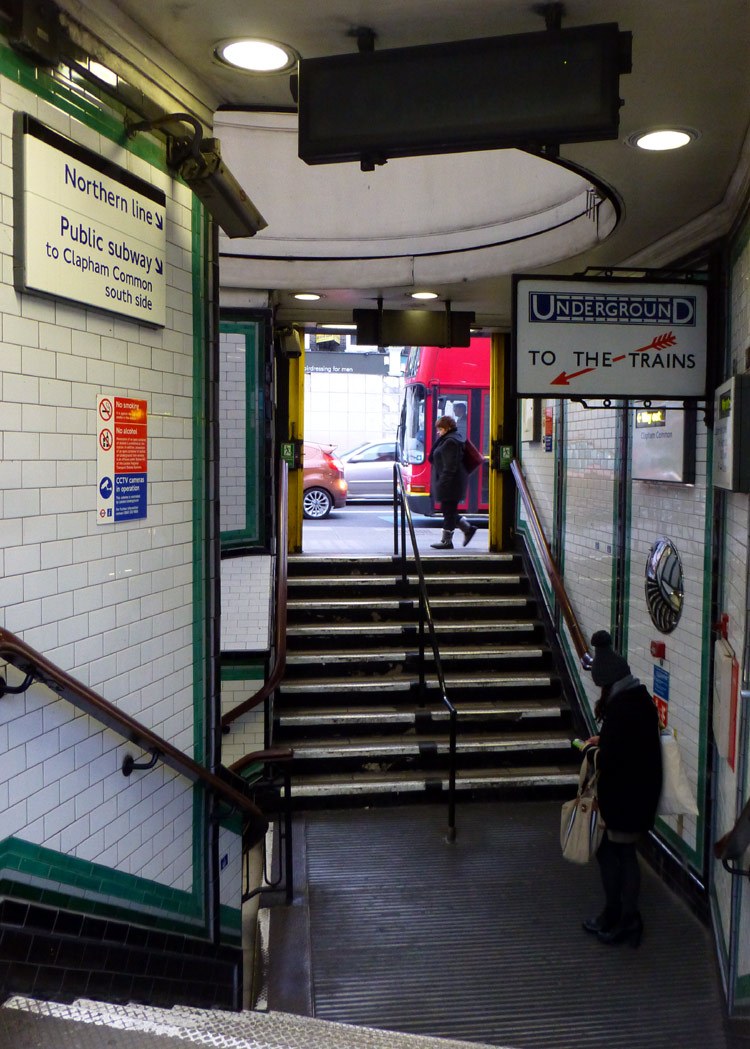
The stations Clapham South - Morden date from the 1920's and are of architectural merit. The street-level structures are of white Portland stone with tall double-height ticket halls and the London Underground roundel (formed of coloured glass panels) set in large glazed screens.
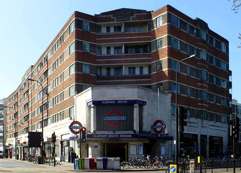
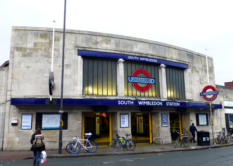
Battersea branch:
This short branch opened in September 2021 and comprises just two stations, both of which are underground.
It was built as an extension from the reversing loop used by Charing Cross branch trains which end their journeys at Kennington and therefore it can only be served by trains that travel through central London via Charing Cross.
Both stations were built to an ultra-modern design with double-height ceilings.
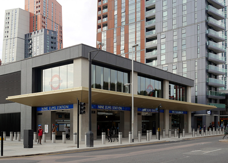
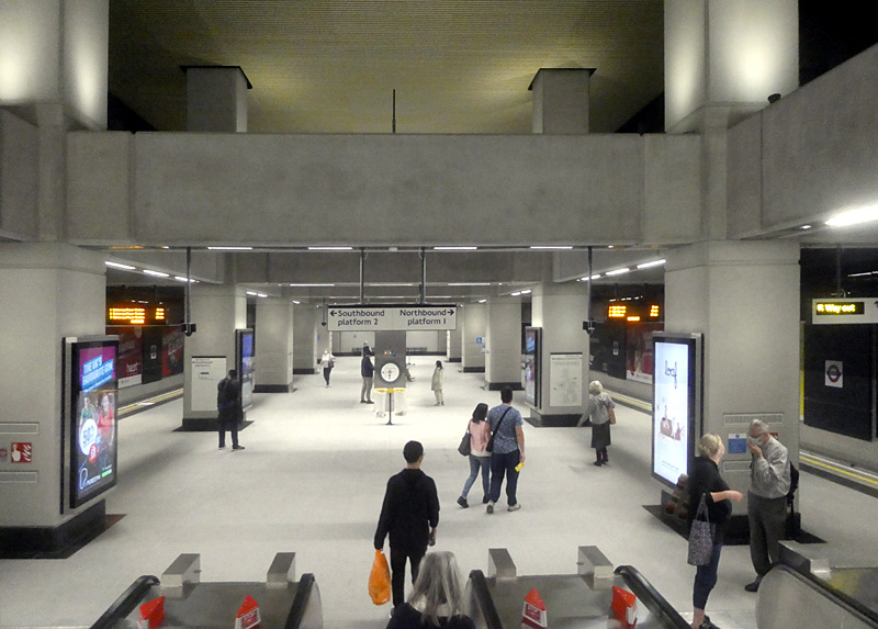
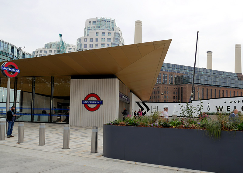

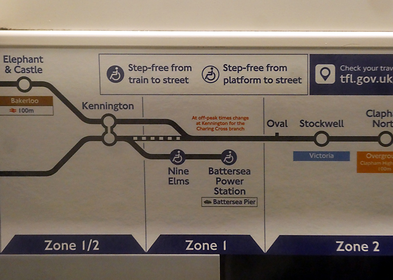
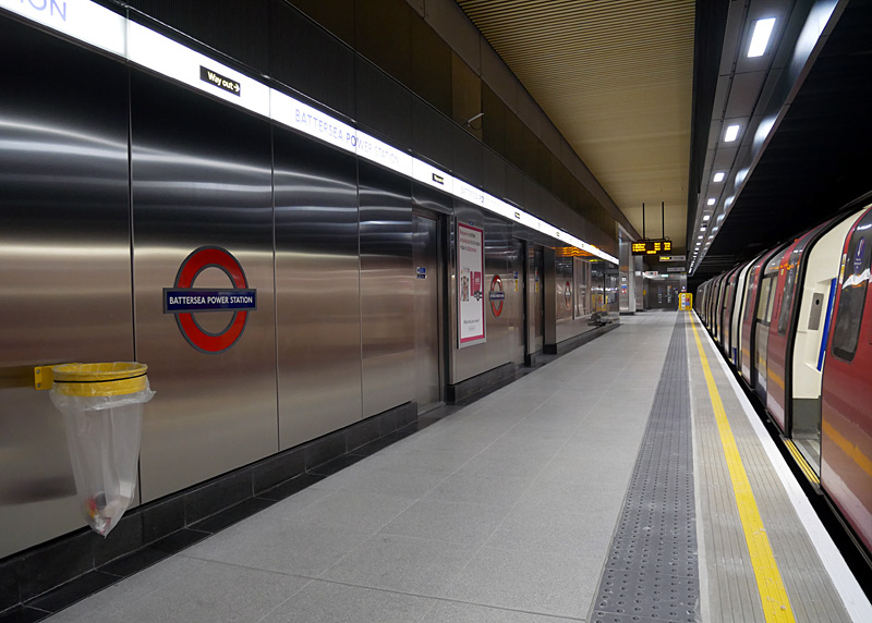
In 2025 a second station entrance was opened.
This was built as an integral part of the new residential area (several blocks of flats / apartments) that has been built around the former power station. This entrance is more convenient for visiting the shopping centre that has been built within the former (now disused) power station.
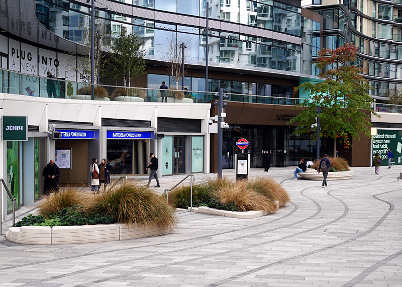 |
|
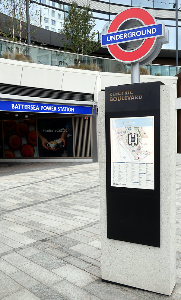 |
|
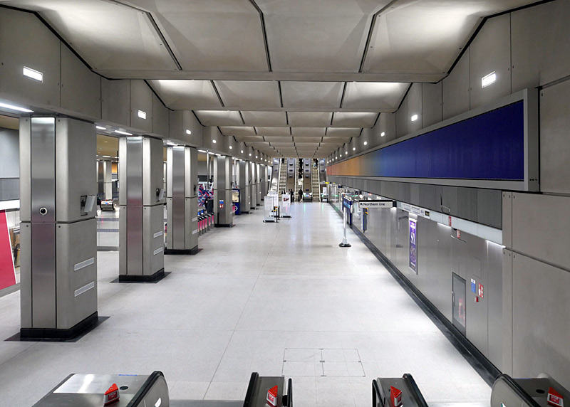 |
| The second entrance to Battersea Power Station station is in a pedestrian street named Electric Boulevard.
In addition to helping people locate the Underground station's entrance the Totem Pole also contains an overall map of the Battersea Power Station development. |
|
The new entrance is located at the opposite end of the ticket hall and the street access comprises two escalators with a fixed stairway between them and an accessible lift. Access to the trains is on the left. | ||
North London:
Camden Town station (which opened in 1907) is very close to the famous Camden Market and on Sunday afternoons the station is so busy that to avoid overcrowding both escalators are used in the ‘up’ direction. Therefore it is restricted to interchange and exit only; passengers wanting to enter must use a different station nearby. This is also a junction station and trains from either of the two central London branches can travel to / from either of the two north London branches.
About 7 - 10 minutes walk from Camden Town Underground station is Camden Road London Overground (North London Line) station. Passengers paying fares using PAYG are allowed to leave one of these stations and walk to the other one and then continue their journey at no extra cost. I often interchange between trains here! There is a generous time limit for the walk between the two stations to be completed, so people who walk slowly should not worry, but this time limit does not allow for going shopping in the market.
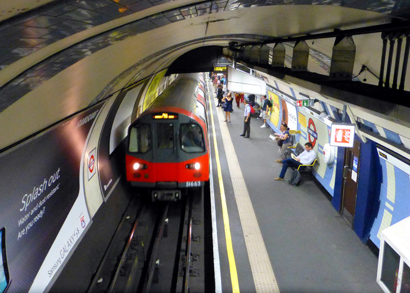
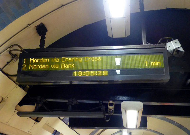
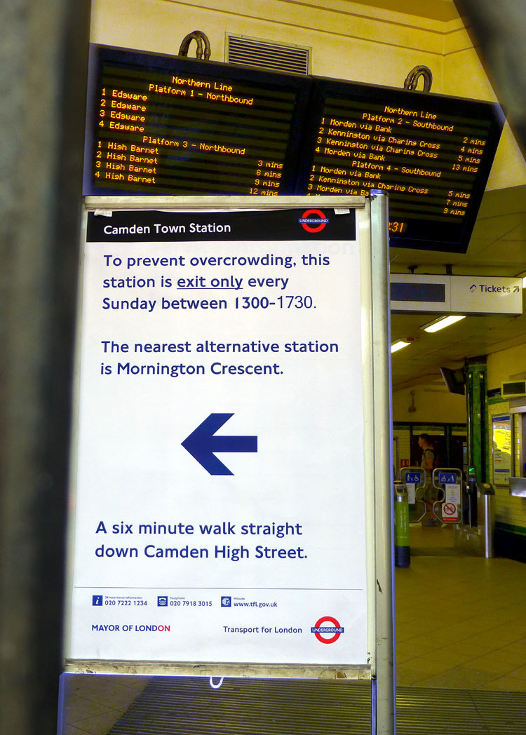
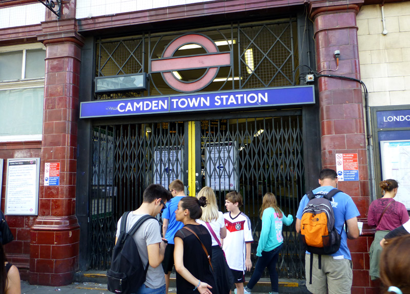
Edgware branch: Hampstead station is the deepest on the Underground and has high speed lifts. Golders Green has 3 tracks and 5 platforms (although one is no longer used). The centre track is used by trains which terminate here. There is also a large depot here. Directly in front of the Underground station is a busy bus station which is served by many buses from the local area as well as National Express coaches from many towns and cities around the British Isles.
The Edgware branch was built in the 1920's when the area was green fields. Whilst there is nothing ‘bad’ about it, it could be said that the High Barnet branch is more interesting.
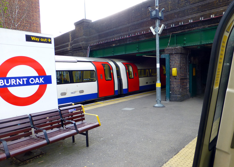
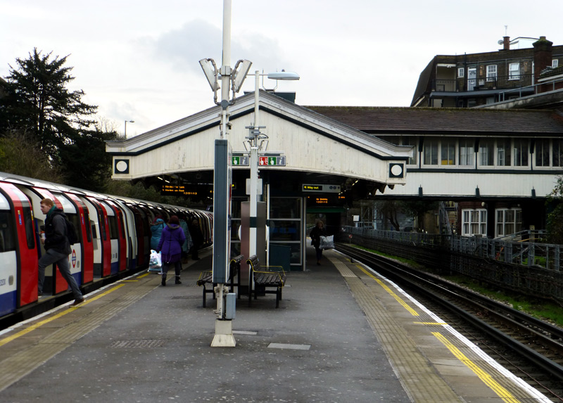
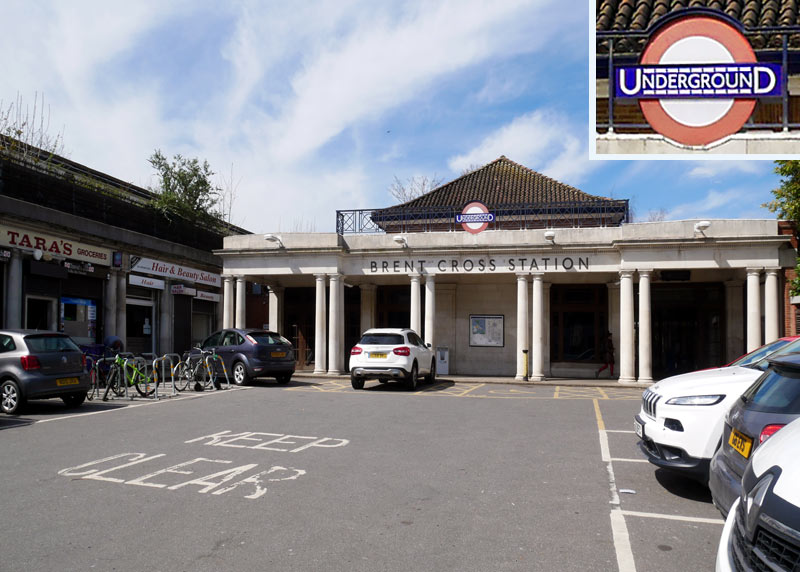
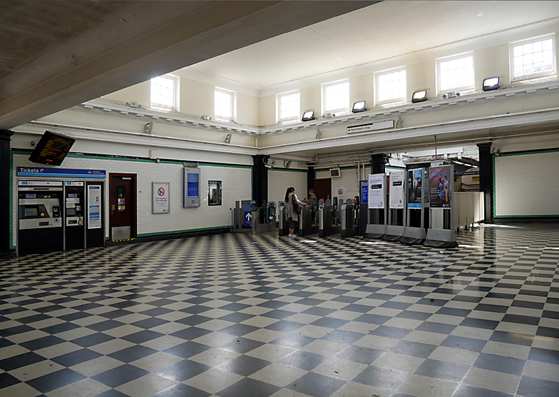
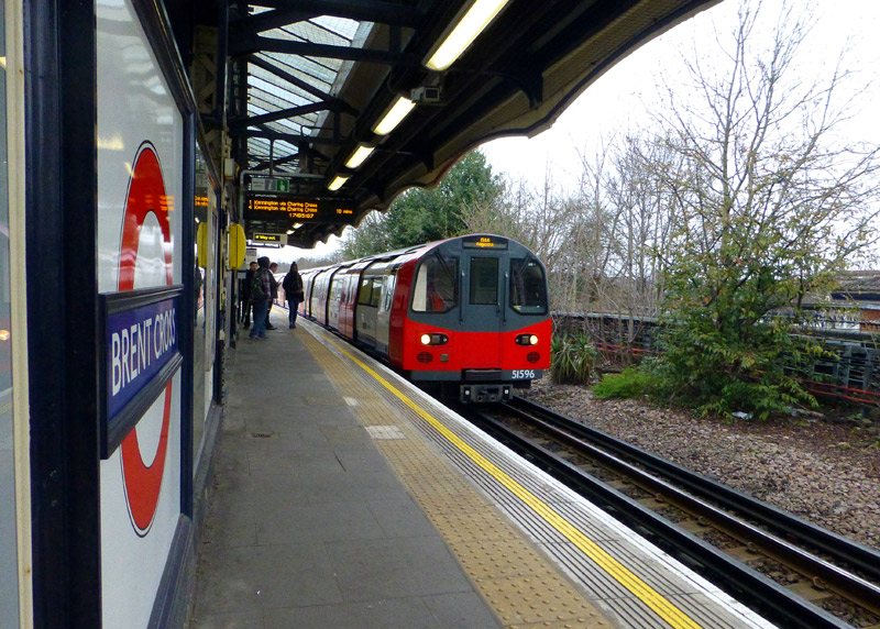
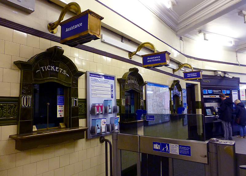
The empty space between the train and the brick wall dates from the days when this station had passing loops so that non-stop trains could pass a train that had stopped here.
Although all ticket sales (nowadays) are from self-service vending machines the decorative ticket office windows have been retained.
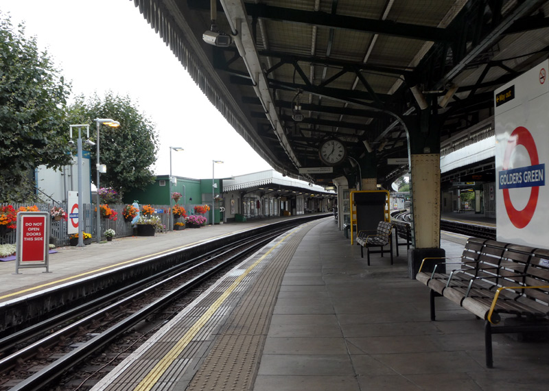
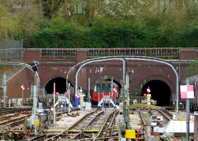
From left to right these are for:
a siding, southbound trains, northbound trains.
High Barnet branch: The section between Camden Town and Archway dates from 1907. Originally Archway station was called Highgate but because the line's 1939 extension to East Finchley included serving another station also called Highgate the tube station was renamed.
Many stations Finchley Central - High Barnet / Mill Hill East are amongst the oldest stations on the London Underground. Many date from 1867/72 - Underground trains only started using this line in 1940. This was as part of a wide area railway electrification scheme involving several railway routes in north London which went disastrously wrong and has left a lot of people without any railway service at all.
Some stations on this branch have platforms which are longer than usual; this is because until WW2 there were experiments (on the Edgware and Charing Cross branches) with 9 car (carriage / coach) trains and the platforms at new and rebuilt stations were designed for the longer trains. Highgate is the best station to see this. Nowadays all trains have just 7 cars.
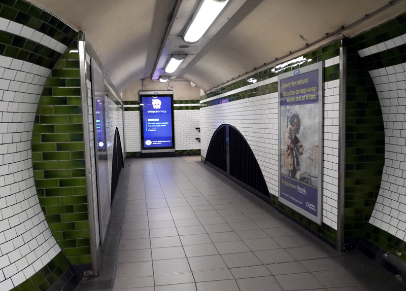
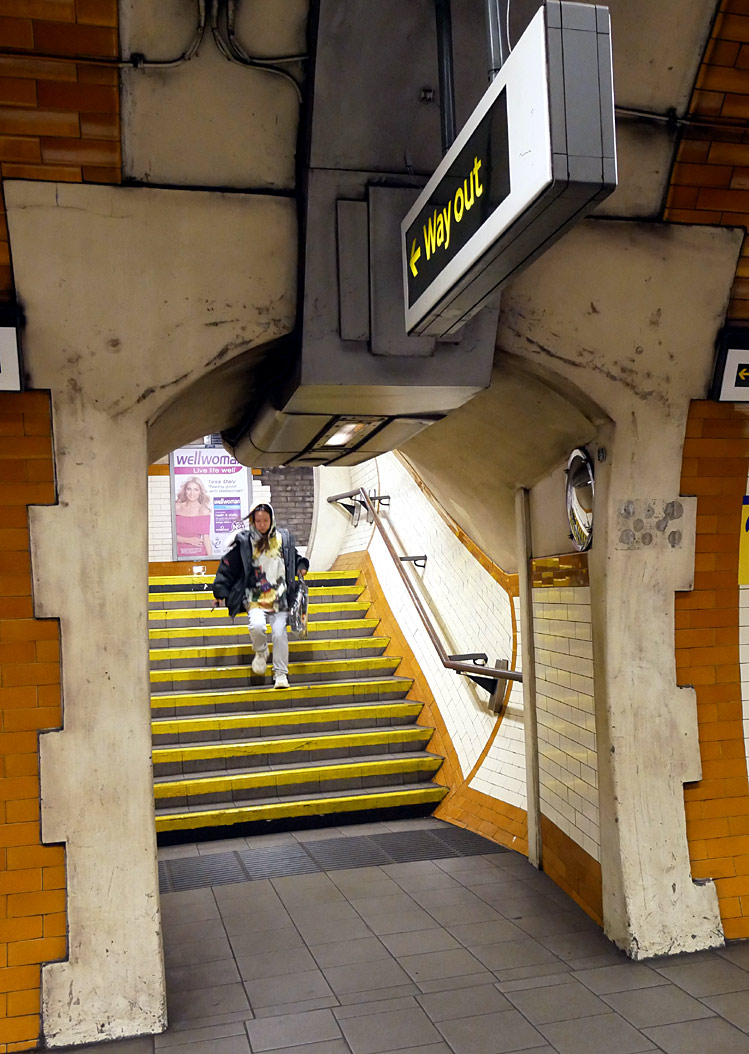
The lady who was running down the stairs and also photo-bombed
my photograph just about managed to catch this train.
Highgate station is in a deep cutting and there is an extra up escalator which takes arriving passengers higher up the hill. Nowadays trains only use the low level platforms - the high level platforms are in the open air above the ticket hall. It is sometimes possible to glimpse them from the street, although vegetation makes this quite difficult.
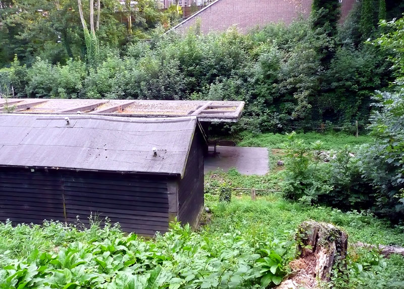
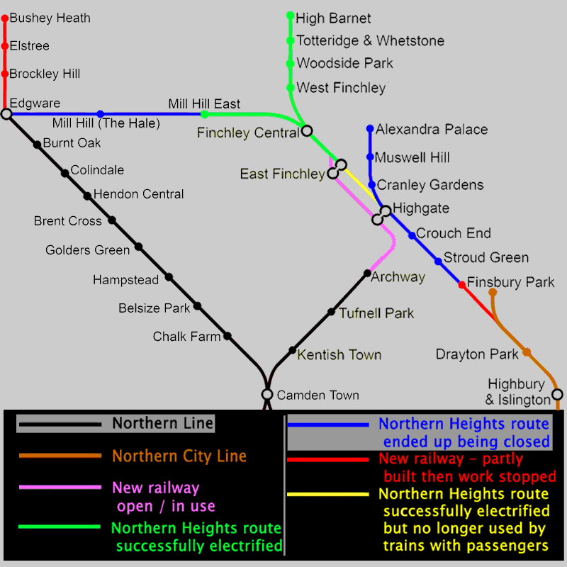
platform at Highgate (High Level).
A Little Local History
Highgate‘s high level platforms are now closed; they were served by steam trains from Kings Cross, Moorgate [Widened Lines] and Broad Street stations going to Edgware [not the same station as the Underground used], High Barnet
and Alexandra Palace [the latter station was at the top of the hill and right next to the Palace] and were meant to become part of the Northern line but fate decided otherwise. |
| The demise of the Mill Hill East - Edgware railway came because shortly after the war started in 1939 it was closed for conversion to double [twin] tracks and for electrification but then the ‘war effort’ saw the works being
suspended until the cessation of hostilities. In 1941 the section between Finchley Central and Mill Hill East was re-opened to serve a military barracks and although the rest of the line remained extant until 1964 [for goods trains] no effort
was made on completing the electrification and track doubling. Nowadays part of the closed railway between Mill Hill East and Edgware has become nature reserves, whilst elsewhere it has been built over and therefore re-opening is now almost impossible.
These links lead to information about the nature reserves:
http://en.wikipedia.org/wiki/Copthall_Railway_Walk_and_Copthall_Old_Common
http://en.wikipedia.org/wiki/Mill_Hill_Old_Railway_Nature_Reserve
The original plans were that at Edgware the former steam railway would be diverted to the new UndergrounD station and then a new extension would be built further north. Remains of a part built viaduct still exist in the Brockley Hill area to the north of Edgware, and further north still some sections of tunnel still remain, although to prevent people using them the entrances have been covered over. Some of the route is now also part of the M1 motorway. |
| Despite almost finishing the electrification works the line to Alexandra Palace station continued to be served by steam trains, although war-time coal supply issues resulted in off-peak services being cancelled and passengers encouraged
to travel by bus. With it having been decided not to complete the Northern Heights electrification works the line was closed instead. Nowadays this closure is realised to have been a *very* big mistake, as the area served by this route is
densely populated and the roads are very congested. Much of this line is now a parkland walkway, although a school was been built on it at Muswell Hill. The parkland walkway is very popular in the local community and has a website at this link
http://parkland-walk.org.uk/
The Muswell Hill Metro group is campaigning for this line to be reopened as a railway again http://muswellhillmetrogroup.atspace.com/ |
| There was also a second railway to Alexandra Palace [Palace Gates station] but despite one-time proposals to join the two lines and operate through trains the 1950's saw it also falling victim to the crazy idea that diesel motor buses can provide an attractive alternative to an urban railway. Nowadays so much of this line has been lost - built over - that reopening is impossible. |
| Meanwhile in 1956 the Epping - Ongar section of the Central line was converted from steam to electric trains, even though it is in open country where few people live!! |
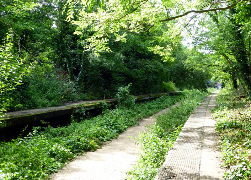
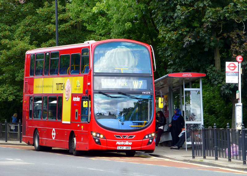
The Parkland Walkway is split into two sections. Crouch End station is on the southern section between Finsbury Park and Highgate.
The northern section includes Muswell Hill viaduct which on a sunny day offers fine views of London and many famous landmarks.
The W7 is now one of London's most intense bus services and for much of its route it must fight for space on overcrowded roads which have very slow (20mph / 30km/h) speed limits and are too narrow for any useful bus priority measures.
This photo was taken outside where Muswell Hill station used to be.
Further reading (with many photographs):-
http://underground-history.co.uk/northernh.php
http://www.youtube.com/watch?v=anHLOwH2HWU
http://www.abandonedstations.org.uk/Northern_Heights_1.html
A station noted for its distinctive 1930‘s architecture is East Finchley. Despite having 4 platforms most trains only use the outer two. The middle tracks lead to a depot and the now disused above-ground route to Finsbury Park via Highgate (high level) station. The main station building includes a glass wall which at one time featured two railway logos - the lower logo (for the UndergrounD) is still extant whilst the former LNER [London & North Eastern Railway] ‘fisheye’ symbol above that has now been replaced with plain glass. LNER steam trains were withdrawn in 1941, as part of the wartime effort to save coal. Whilst here also look out for the ‘archer’ statue at the London end of the platforms towards Highgate.
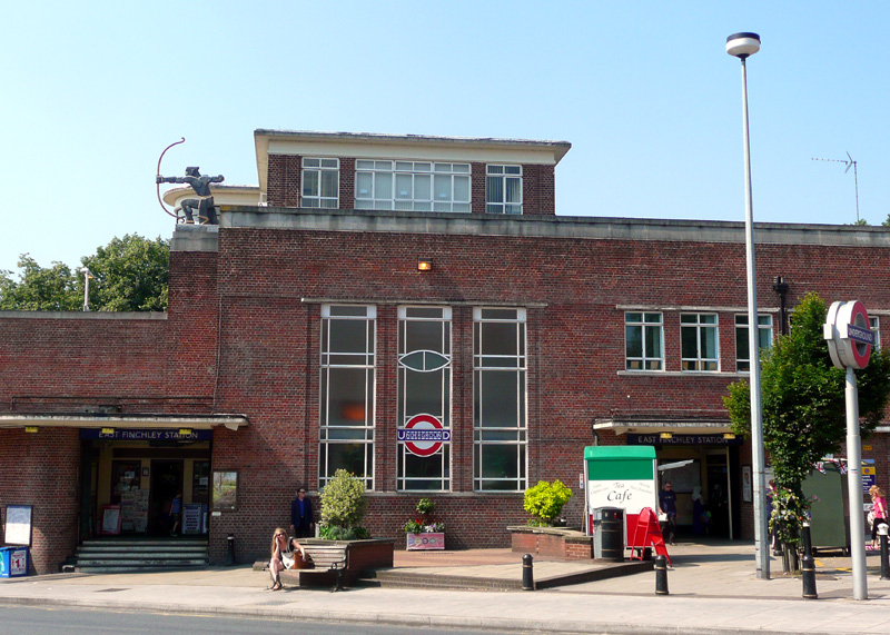
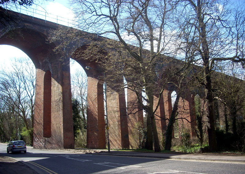
The Archer's arrow points towards central London. The glass wall on the station's front includes both the UndergrounD roundel and the former LNER fisheye symbol which nowadays features plain glass.
Image & license: Grim23 at en.Wikipedia encyclopædia: CC BY-SA 3.0
http://commons.wikimedia.org/wiki/File:Dollis_brook_viaduct.JPG
Finchley Central station dates from 1867, making it one of the oldest stations on the Underground. It was built by the Edgware, Highgate and London Railway (EH&LR), although by the time it opened the EH&LR had been taken over by the Great Northern Railway (GNR). The station was on a line that ran from Finsbury Park to Edgware via Highgate and Mill Hill. The Northern Heights plan for electric tube trains to take over this route in the early 1940's included the building of a modern Art Deco station with four platforms, but in the event this did not happen.
From Finchley Central the single track railway crosses the multi-arched Dollis Brook Viaduct which offers pleasant views over north London. Mill Hill East only has one platform and also dates from 1867. Tube trains started travelling here in 1941 to serve a nearby military barracks and the plan to convert the line to twin tracks was delayed until after the war. Because (nowadays) this line only consists of one station the train service is not very frequent. Sometimes trains only travel between here and Finchley Central, where passengers travelling to / from Central London must change to / from High Barnet trains.
The branch line from Finchley Central to High Barnet opened in 1872 and the stations§ still retain much of their original Victorian architectural character. Woodside Park is at the centre of a residential area and in accordance with the desires of local residents there are no retail stores around it. High Barnet is in zone 5; because of local geography access to the town of Barnet is via a steep pathway up Barnet Hill.
§(The LNER opened West Finchley in 1933 using various fixtures and fittings taken from other stations around Eastern England. This remains one of London's quieter stations).
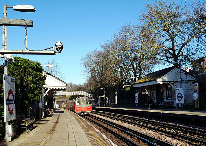
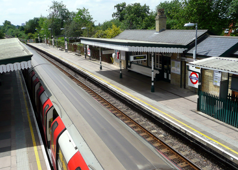
To minimise the cost they used redundant facilities
from closed stations elsewhere on their network.
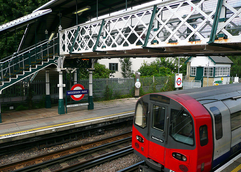
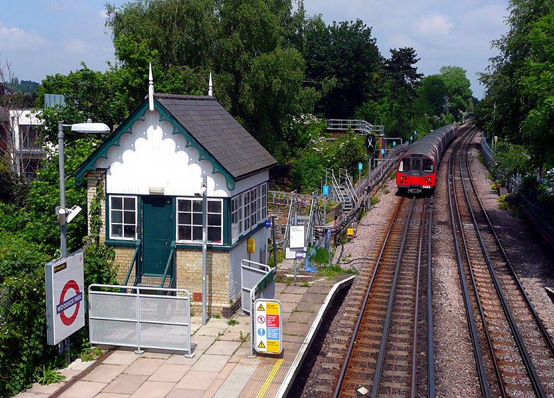
Important:
You will need to pass through a ticket barrier if walking
from one platform to the other platform.
Next to the back of the train is the former station departure signal. It is located where the platform would have ended had the original plan to extend it for 9-car trains come to pass. As trains are now driven by computers the signal head has been covered over.
|
| Northern City Line |
|
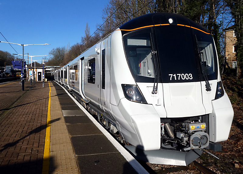
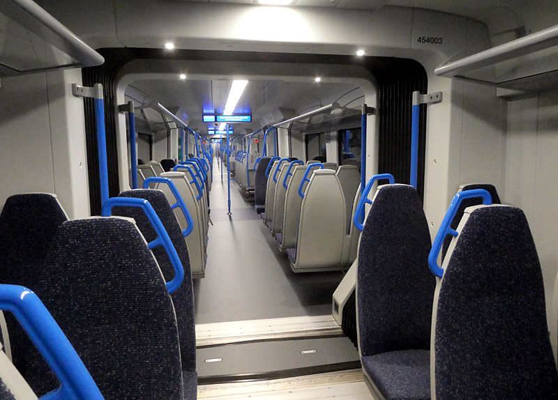
| Below / Above Ground |
Below ground just south of Drayton Park - Moorgate.
Above ground the rest of the route.
Click map to see larger version in a new window!
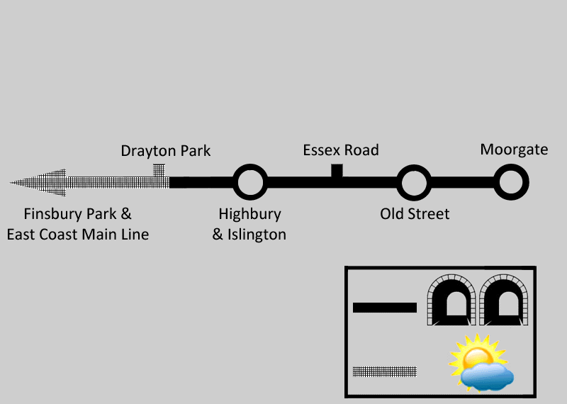
| General Information |
This is London‘s first deep level ‘tube’ line to be built for large profile trains. The southern terminus is at Moorgate (platforms 9 & 10) from where trains travel deep underground as far as Drayton Park, which is in an open air cutting and where the remains of a former depôt can be seen next to the northbound track.
Between Moorgate and Drayton Park the trains are powered via an electrified third rail; at Drayton Park they switch between third rail and overhead wire power supply systems and north of here they operate as ordinary surface suburban trains providing ‘all stations’ services along the East Coast Main Line - which is the route used by trains from London‘s Kings Cross station heading to faraway cities such as York, Leeds, Newcastle-Upon-Tyne, Edinburgh and Aberdeen.
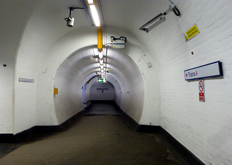
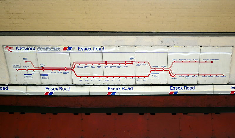

Between 1939 and 1975 this route used London Transport's small profile tube trains. Nowadays this line is not usually shown on UndergrounD maps but being an underground railway in London it simply had to be included in this guide.
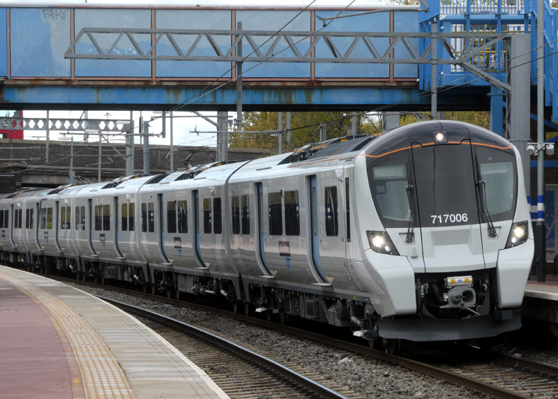
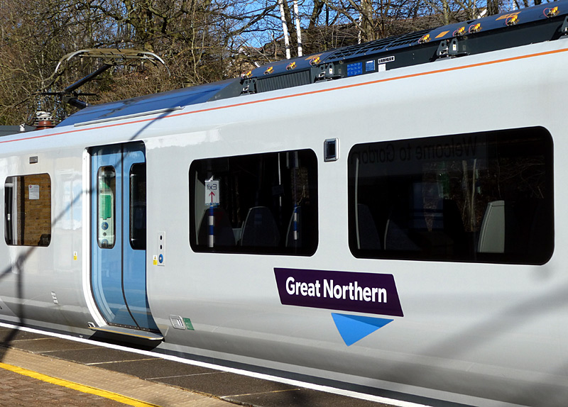
Present-day services are provided by Seimens Desiro City Class 717 trains as part of the ‘Thameslink, Southern, Great Northern’ (TSGN) main line railway franchise. These trains are six carriage variants of the fully walk-through air-conditioned Seimens Desiro City Class 700 trains used on the Thameslink service.
However there are a few small differences; these include the 717's having power sockets under the seats and the train ends also including some folding steps. This is a legal requirement to make it is possible for an emergency evacuation of the train via the train ends when travelling through the single track tube tunnels. Also the 717's do not have toilets.
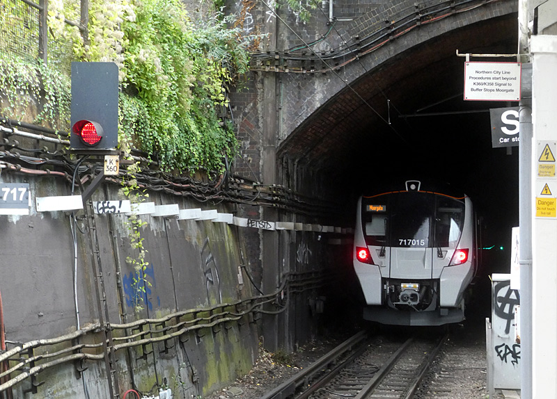
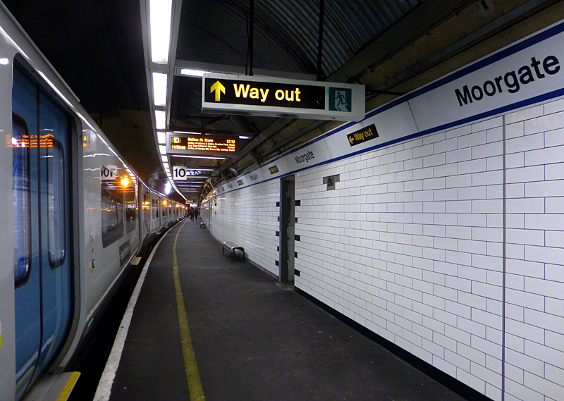
This photograph was taken when new tiles
were being placed on the platform wall.
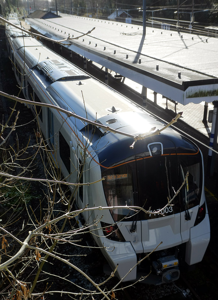
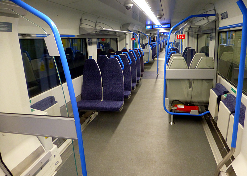
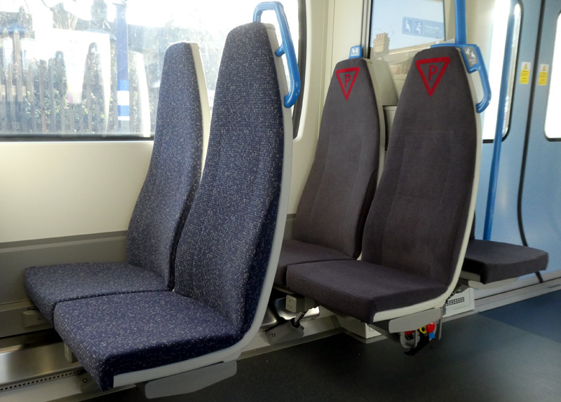
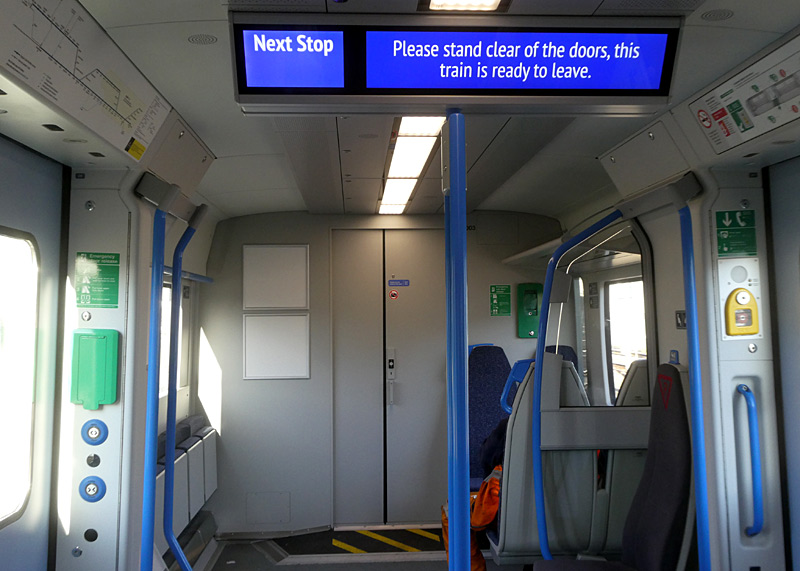
| Extra Information |
Why Larger Tunnels?
The reason why the Northern City line has larger tunnels than London's other deep level tube lines* is because when it was built (in 1904 by The Great Northern & City Railway [GN&CR]) the aim was to allow trains from the Great Northern Railway (GNR) to reach the City area of London (ie: the Financial District). However the GNR did not favour this so the GN&CR remained physically isolated.
Over the years there were many proposals to extend this line, both to the north and the south, however whilst this was achieved in 1941 for trains which did not carry passengers it was the 1970's before this was achieved for passenger trains. Known as the Great Northern Electrics this is the present-day service.
Whilst an extension south (perhaps to create a north-south cross London service via London Bridge or another major south London station) would seem logical this is not possible. The reason is that to the south of Moorgate station the route is blocked by a Elizabeth Line (Crossrail Line 1) station tunnel and foundations from buildings in the Bank area.
Even if it was possible to extend this line further south another issue would be the very high cost of having to lengthen all the subterranean stations, so that the much longer trains used in south London could call at them.
*This comment applies to the era before the building of the Docklands Light Railway and Crossrail line 1 / Elizabeth line. Also, the London Overground East London / Windrush line tunnels below the River Thames between Wapping and Rotherhithe were originally build as foot tunnels for people and horse drawn carriages - and not trains!
Lothbury Station
The original plans for the GN&CR was for it to extend a short distance further south towards the very heart of London's Financial District with a station named Lothbury. Although work did begin on building this section of railway a lack of funds saw it soon being halted.
Had this station been built it would have created a situation that would have been unique in London. The new station was going to be located so near to Moorgate that a train travelling between Moorgate and Lothbury would have had its front entering one of the stations before its end had left the other station. In other words, the train would have been in both stations at the same time!
Digital Signalling Testbed
In the period 2023 - 2024 the Northern City line was used as a testbed for the first stage of the £1.4 billion government-funded East Coast Digital Programme (ECDP) to introduce a new digital signalling technology known as European Train Control System (ETCS) on the East Coast Main Line (ECML) between London and Grantham. For this trial the ETCS was installed between Moorgate and Finsbury Park.
The ECDP will see the first use of ETCS on a British trunk InterCity mainline and is planned to act as the foundation for future expansion of digital signalling across the network elsewhere in the UK. However it will not be the first use of ETCS in-cab signalling technology here in Great Britain as this is already being used on the central London section of the Thameslink service and on the Cambrian Line in Wales.
The ETCS removes the need for the train driver to follow fixed signals which typically are installed alongside or above the tracks. Instead there is continuous communication between train and track and drivers are continually fed a safe target speed to aim for on a computer screen in their cab. This is expected to create a more punctual and reliable service for passengers - the company which runs the NCL service (Govia Thameslink Railway) has claimed that using ETCS has seen an improvement in service reliability and that signalling-related infrastructure faults are significantly lower.
The first Northern City line trains in passenger service which were signalled using ETCS ran in November 2023. A year later and with all 250 train drivers having been trained to use the new system every service is now signalled digitally. The legacy colour light signalling is scheduled to be deactivated in 2025.
| Piccadilly Line |
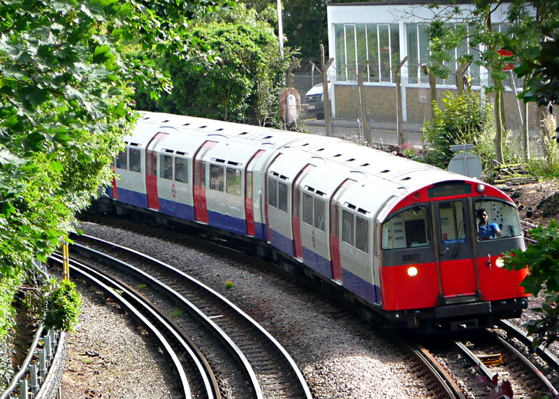
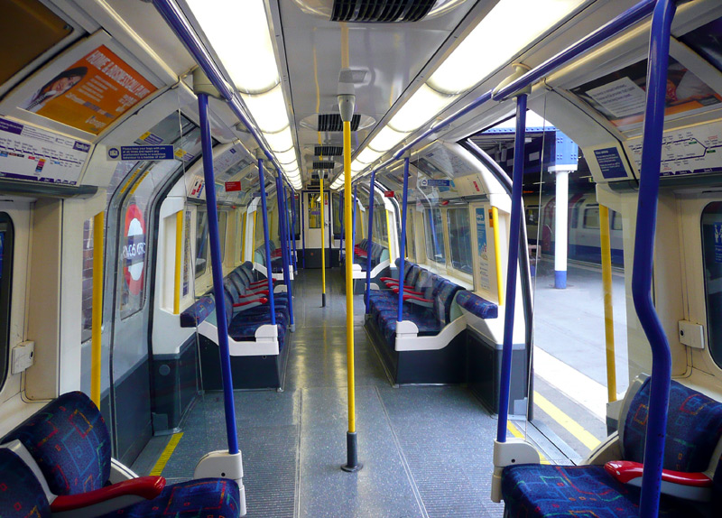
New Trains
Expected to start carrying Piccadilly line passengers in late 2026 is the new 2024 tube stock.
These trains represent a step-change in the design of London's tube trains.
In addition to being fully walk-through internally, they will comprise a mix of longer and shorter carriages, with the shorter ones being supported by the longer carriages. This space
below the shorter carriages will be sufficient for the trains to be fully air-conditioned and to store at least some of the heat created whilst underground so that it can be vented when the train next reaches an 'above-ground' location.
Image & license: Fortek67 / Wikipedia encyclopædia CC BY SA 4.0 https://commons.wikimedia.org/wiki/File:London_Underground_2024
_Stock_during_testing_at_Hammersmith_station_(2).jpg
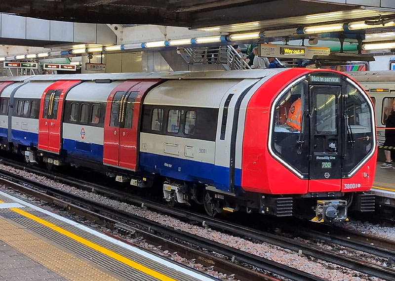
| Below / Above Ground |
In the west of London in open air from just before Barons Court to Uxbridge / Hounslow Central, plus a short surface section near to Hatton Cross.
In the north of London in open air from Cockfosters to Arnos Grove, except for a short tunnelled section at Southgate station.
Click map to see larger version in a new window!
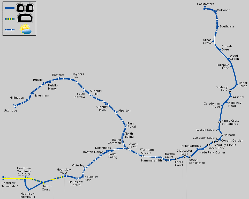
Map modified by me, original source & license:
DavidCane / Wikipedia encyclopædia CC BY-SA 3.0
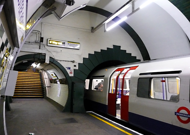
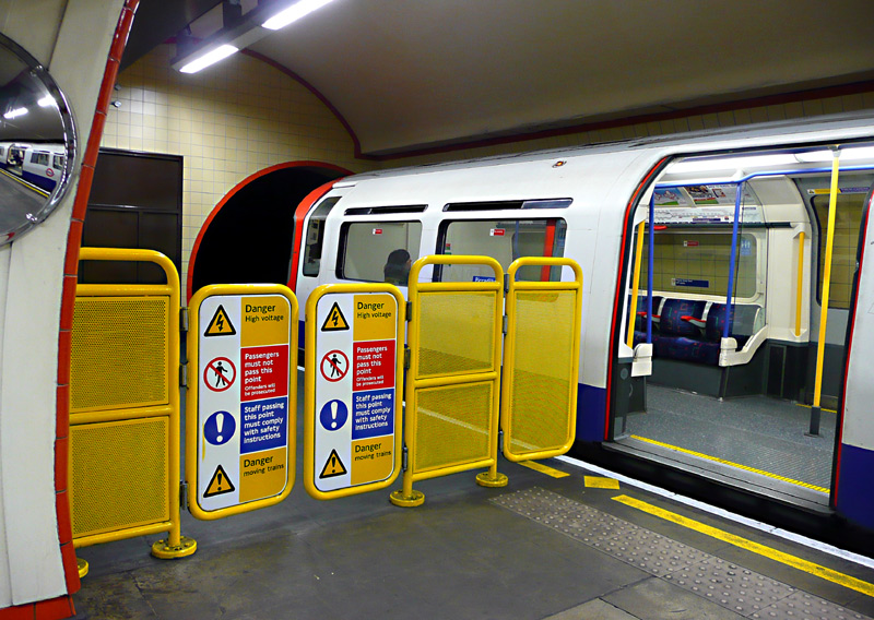
At some stations the platforms are only just long enough for the passenger doors to be able to open with the train ends having to remain in the tunnel.
| General Information |
Old maps will probably show a branch between Holborn and Aldwych, however this closed on 30th September 1994.
Many central London Piccadilly line stations are amongst the over 40 stations which were designed by the architect Henry Green and built in the first decade of the 20th century by the Underground Electric Railways Group (UERG).
The platform and passageway wall tiling at each of these stations followed a different colour scheme, so as to aid identification by regular passengers travelling in passing trains. This is demonstrated in the two images below which show Hyde Park Corner and Gloucester Road stations.
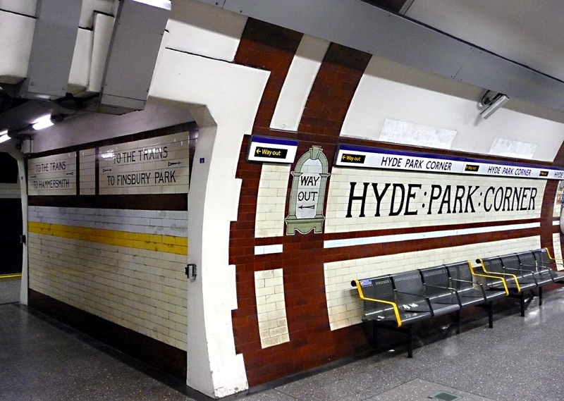
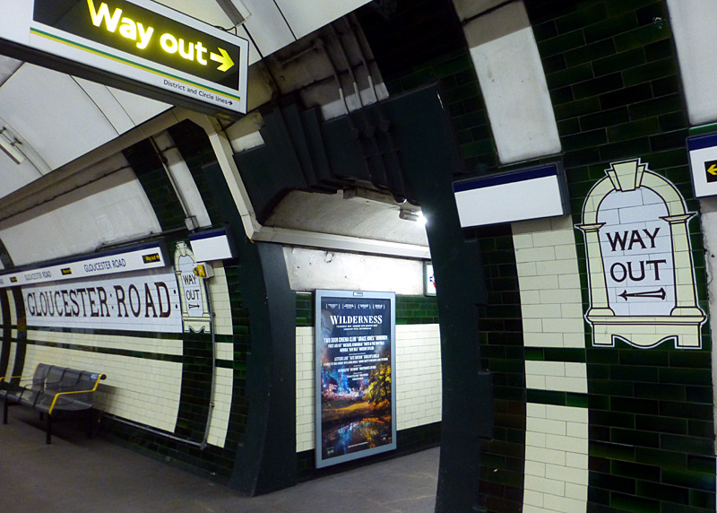
The destinations of Hammersmith and Finsbury Park
on the cross-passageway wall reflect the length of
the line when this station was built.
At some Henry Green stations the platforms (or even the entire station) have been refurbished in ways that give them a completely different identity.
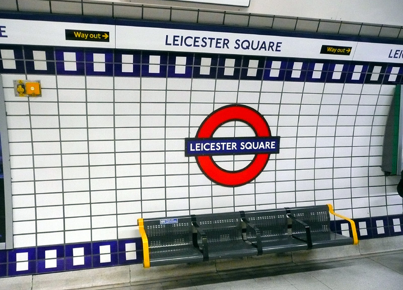
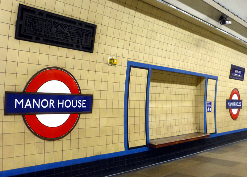
The sprockets are coloured blue on the Piccadilly line platforms
(as here) and black on the Northern line platforms.
which is an early 1930's Charles Holden station with biscuit coloured tiles lined with blue friezes. Other stations which were built at the same time have differently coloured friezes, this helps regular passengers identify their location.
Also seen here is a decorative ventilation grill.
To increase capacity at busy times most of the Henry Green stations have been rebuilt with escalators replacing their original lifts. This includes Knightsbridge, which in 1934 had its entrances replaced by two sets of escalators at (approximately) opposite ends of the station. At the same time its two entrances with lifts were closed.
However, as part of a plan to make the station fully accessible one of the original 1906 station buildings has been reopened and fitted with two new lifts in one of the
lift shafts, plus a third brand new lift in a specially built lift shaft that by-passess a flight of stairs in the passageway between the platforms and the main lifts.
Knightsbridge is a busy station located in a very wealthy (and expensive!) part of London and close to some very exclusive shops - including the iconic Harrods and Harvey Nichols.
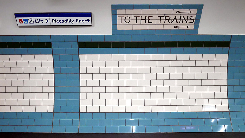
A comparison of present-era and historic signage in Knightsbridge station's accessible entrance passageway.
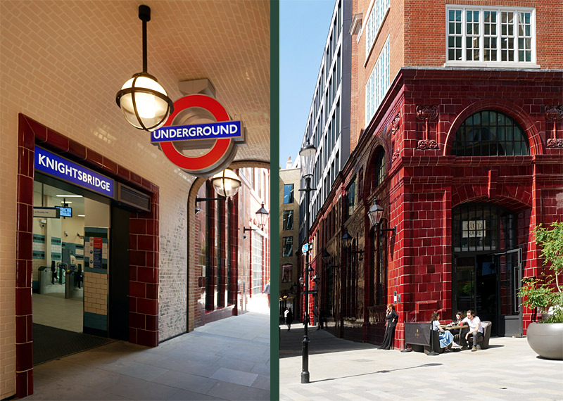
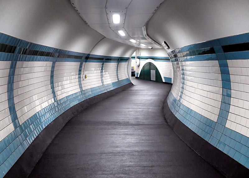
The part of the old station building that is a now café was not needed.
The Piccadilly line also includes many stations that were brand new (or date from the steam train era but were significantly rebuilt) in the 1930's which are of architectural interest. Mostly these are in the suburbs, in zones 3 - 6. Typically these have Art Deco styled buildings and follow a core theme of tall block-like ticket halls that rise above low horizontal structures which contain offices and retail shops. The brick walls of the ticket halls are often punctuated with panels of clerestory windows and capped with a flat concrete slab roof.
Sights in north London: The stations Manor House - Cockfosters date from the 1930's. Manor House and Cockfosters have street buildings which are modest in scale, being primarily more like bus shelters. The rest of the stations feature Art Deco station buildings which are either square, octagonal or circular and also (sometimes) have ventilation towers. Manor House and Turnpike Lane stations were built with extra passageways that linked with tram platforms located in the middle of the road, however as with the trams these no longer exist.
Northbound trains approaching Arnos Grove are sometimes delayed a short whilst queuing to enter the station, which features 3 tracks and 4 platforms.
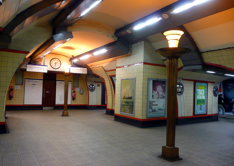
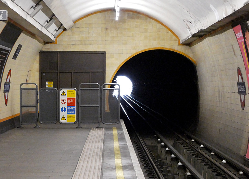
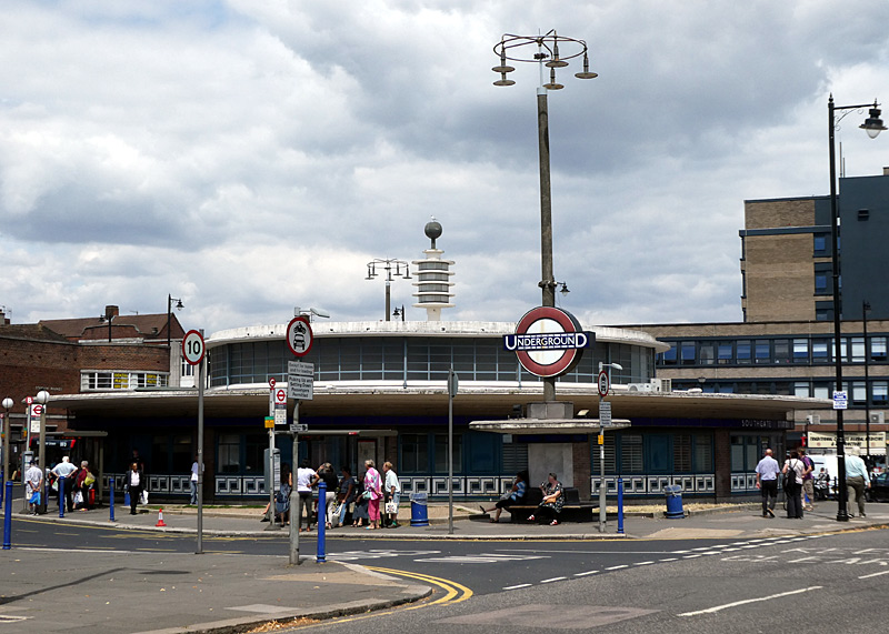
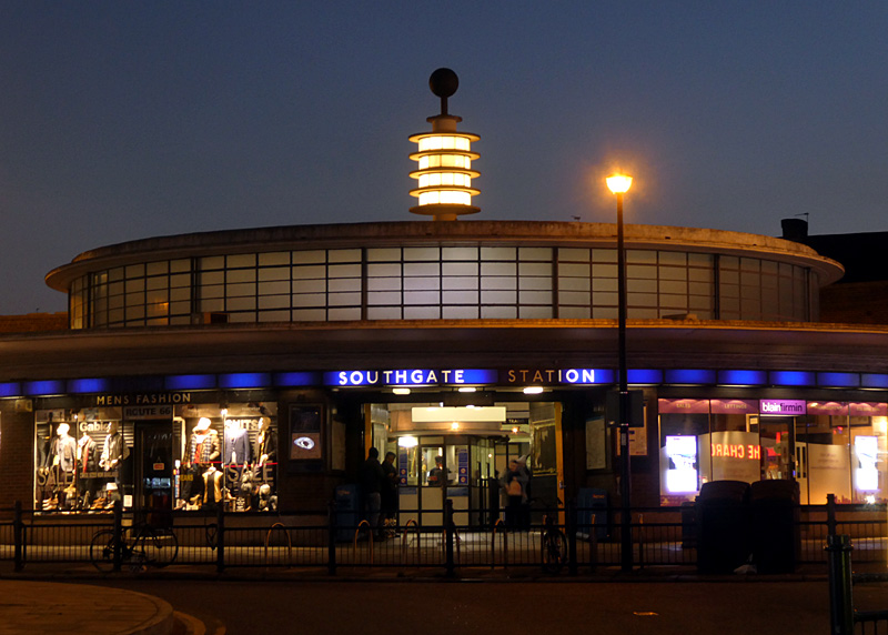
Southgate station is famed for its circular shape and distinctive Tesla Coil on its roof. Because of the way the station‘s Art Deco features are illuminated during the hours of darkness this is said to be one of the most photogenic buildings on the London Transport network.
Born in 1856, Nikola Tesla was an electrical genius who invented many things including fluorescent lighting and the alternating current electrical system we use today. He designed his machines in his ‘minds eye’ in 3D and was even able to test them for weaknesses, zoom in on individual parts, and more - all without needing pens, paper, computers / 3D modelling softwares, etc. He was known to be developing a wireless energy transmission system which would have allowed everyone to source all the energy they need from a small box placed in an outhouse. It is assumed that this would have been similar (in theme) to a radio. However his main financier (J.P Morgan) had financial interests in copper mining and seeing the potential threat to his wealth posed by Tesla‘s wireless energy transmission system vowed to do all he could to stop Tesla. In addition, the electrical supply industry was alarmed by the inability of Tesla‘s planned system to levy charges for the energy used. In other words, the electricity would have been free! Tesla died in 1943 and everything he left behind was secreted away from the public domain by the US military. Information source: Prodigal Genius by John J. O'Neill;. Publishers include Granada and Neville Spearman Ltd. The 1980 Granada paperback edition has an ISBN number of 0 586 05000 0.
The rest of the route is in zones 5 & 6. There is a depot between Oakwood and Cockfosters.
Despite having very modest bus-shelter street buildings Cockfosters is a grand and very distinctive station with glass trainshed roofs and platform canopies that are supported by portal frames of narrow blade-like concrete columns and beams rising from the platforms and spanning across the tracks. There are three tracks, one of which has platforms on both sides - although the trains only open their doors on one side. The term concrete cathedral may sound unkind but it is not meant that way. Cockfosters is located at the outer edge of north London.
At the opposite end of the Piccadilly line (and at the outer edge of north-west London) is Uxbridge station. This features a near identical trainshed and platform arrangement but its main entrance is a pedestrian piazza and there is a proper bus station alongside it. These terminus stations are both located in zone 6.
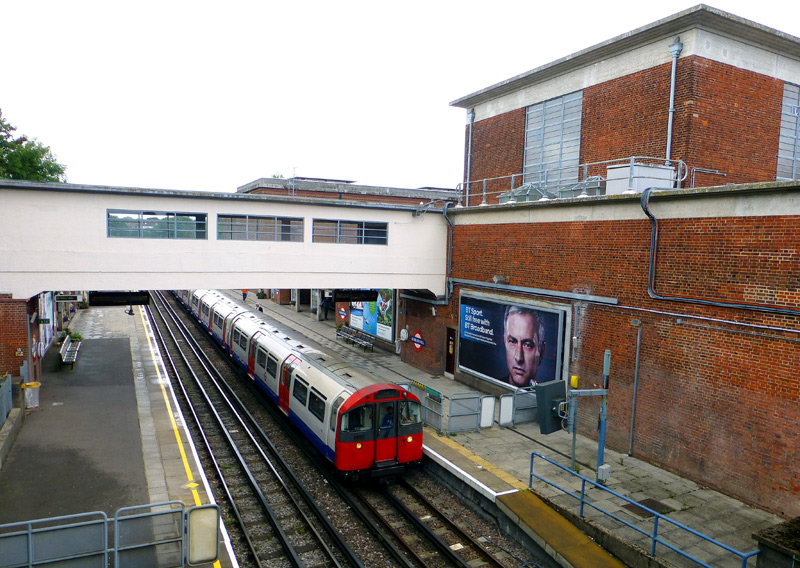
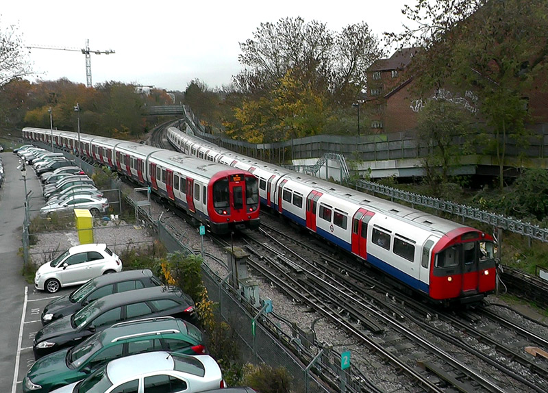
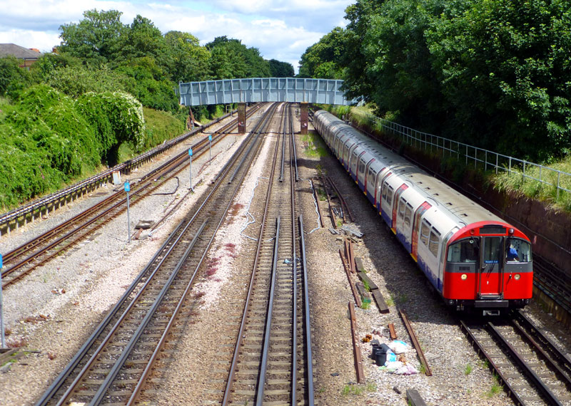
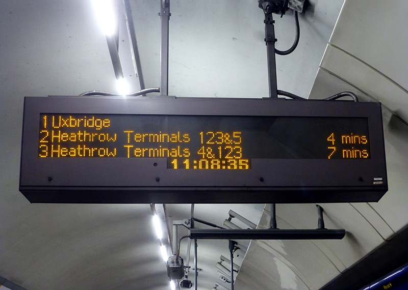
On the far right is an approaching westbound train which will end its journey at Northfields.
Westbound trains also use the centre - right track.
The centre - left track is used by eastbound trains.
The track on the far left can also be used for eastbound trains but is more usually used as a bi-directional test track for special trains.
Trains routed via Terminal 4 may wait there 10+ minutes before departure!
Sights in west London: Piccadilly Line trains started travelling west of Hammersmith in the early 1930's and eventually took over what had been District Line services on the branches to Hounslow West and Rayners Lane / Uxbridge.
The section between Barons Court and Acton Town has four tracks and is shared with District Line trains; this is looked at on the Shared Service Routes page.
The four track section extends beyond Acton Town station as far as Northfields, but the track on the north (former eastbound District line track) is mostly used as a test track and therefore rarely carries passenger trains. However both westbound tracks are used by trains carrying passengers. There is a large depot just after Northfields, and since this is a surface route it can also be accessed by the subsurface / large profile Underground trains.
The station building at Boston Manor features a narrow fin-like tower with a leading edge that used to be illuminated at night and roundel which rises high above the low structure and helps identify the station‘s location from a distance. Opposite the station it is possible to enjoy an excellent view of Northfields depot.
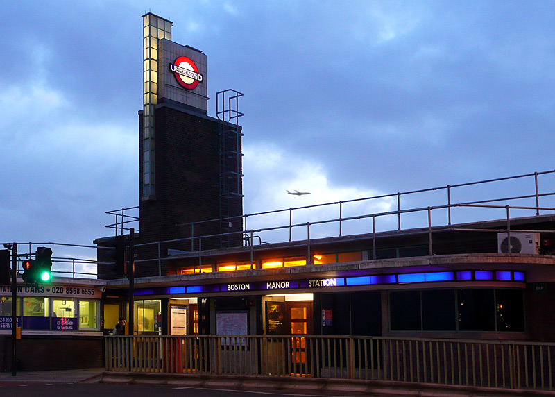
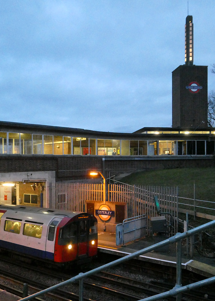
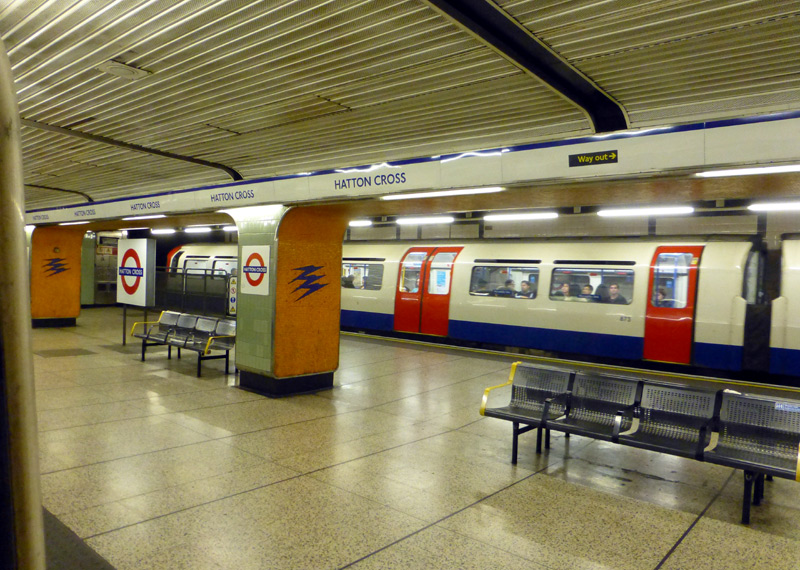
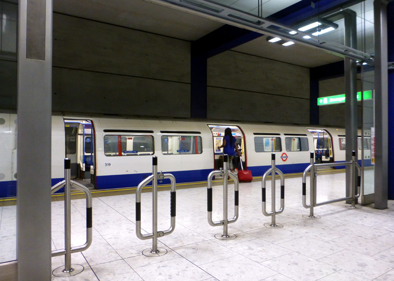
From Acton Town the route towards Rayners Lane and Uxbridge is shared with District Line trains through Ealing Common station to where the District Line diverges towards Ealing Broadway. Between Acton Town and Ealing Common the trains pass a large District Line depot. Many of the stations on this route are also famed for their 1930‘s architecture, especially Sudbury Town. Between Sudbury Hill and Uxbridge the line is in zones 5 & 6. Trains sometimes queue to enter Rayners Lane, which is shared with the Metropolitan Line - despite being where two routes join and some Piccadilly line trains terminate this station only has two platforms and trains which reverse here sometimes delay other trains whilst station staff ensure that all passengers have alighted before the empty train enters a siding.
Alperton used to have an up escalator from the ticket hall to the eastbound platform (ie: the platform used by trains travelling towards Central London) but to save money when this needed replacing it was switched off and a wall was built around it instead. This way passengers do not see it - and do not complain that it cannot be used!
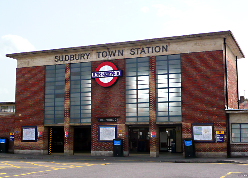
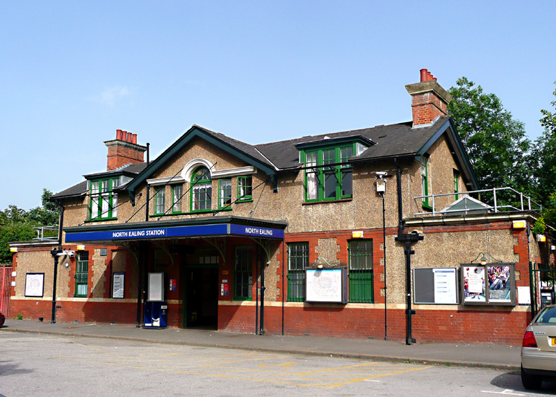
Sudbury Town station dates from the early 1930's when it replaced the original station building. The forecourt is used by buses.
North Ealing station was built by the (then)
Metropolitan District Railway in June 1903.
Piccadilly Line 'tube' trains replaced District Line trains in 1932.
Park Royal station first opened as a temporary timber structure in 1931 - this Art Deco/Streamline Moderne style Grade ll listed building dates from 1936. It was designed by Welch & Lander in a style influenced by the Underground's principal architect Charles Holden. At street level the station building is attached to several curved three-floor retail and office buildings which were built in the same style. The platform used by London-bound trains still retains its original 1931 wooden pagoda waiting shelter.
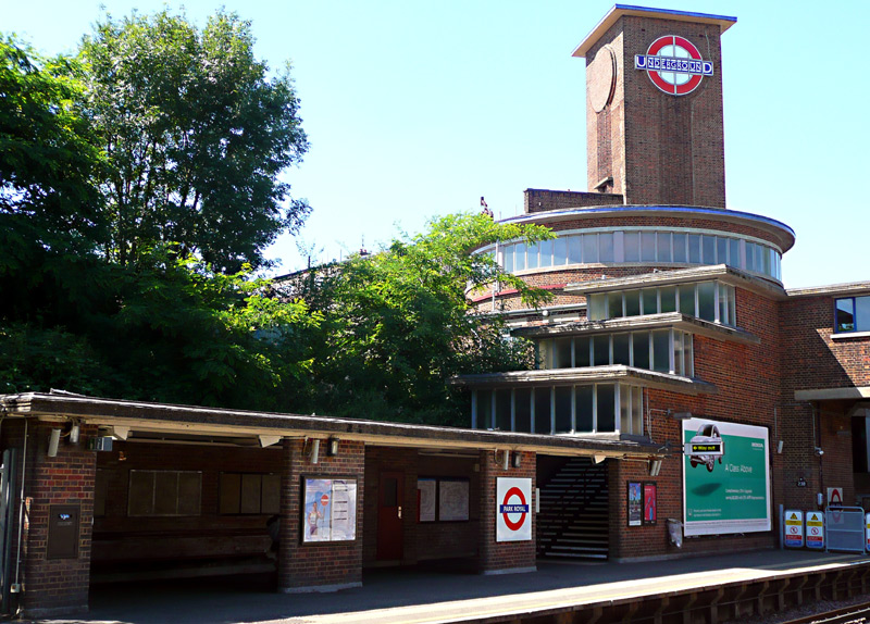 |
|
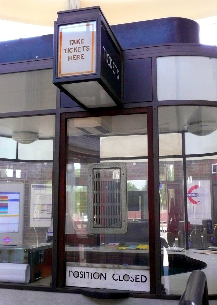 |
|
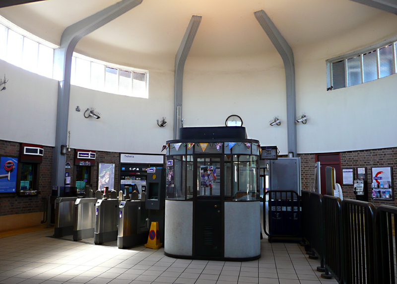 |
|
Above Left: A platform view showing the tower with UndergrounD symbols (illuminated at night) on several sides, circular ticket hall, fully enclosed cascades of glazed steps down to the platforms which lead into semi-open weather protected waiting areas that include wall-mounted seating. Above Centre: A close-up of the passimeter's ticket sales window. Above Right: Inside the circular ticket hall as seen in 2012 after refurbishment and fitting with automated ticket gates. The free-standing booth is a passimeter - these were used at many stations and at quieter times of the day allowed a single member of staff to sell tickets to departing passengers from one side and collect used tickets from arriving passengers on the other side. Right: The platform for London-bound trains still retains its 1931 original wooden platform shelter. |
|
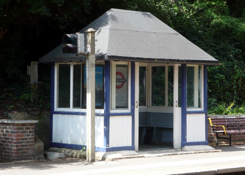 |
||
| Victoria Line |
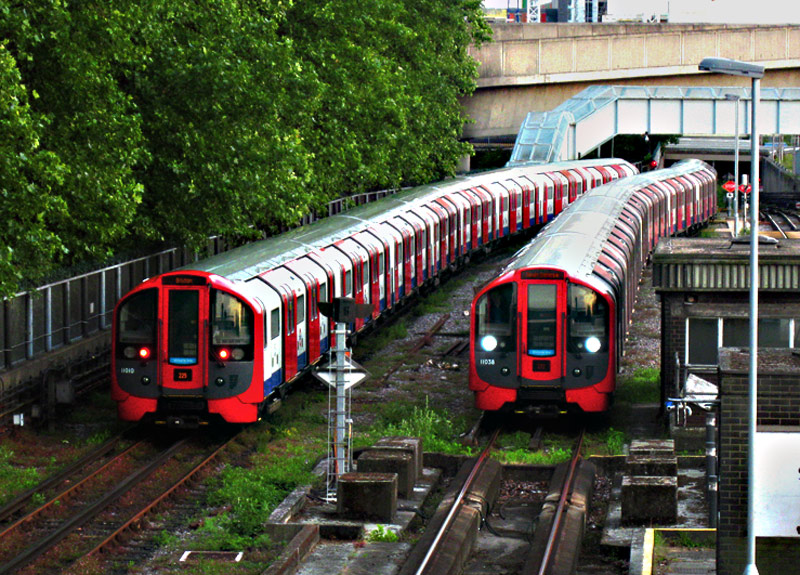
Image & license: Wikipedia encyclopædia / Wikimedia Commons: Public domain. http://commons.wikimedia.org/wiki/File%3A09NPKDT.jpg
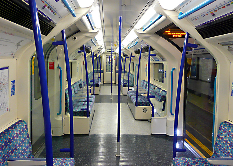
Victoria line trains use a GoA 2 (Grade of Automation level 2) semi-automatic train control system (STO) whereby the trains travel automatically from station to station but a human train driver is always present at the front of the train, with duties that include door closing and initiating station departure.
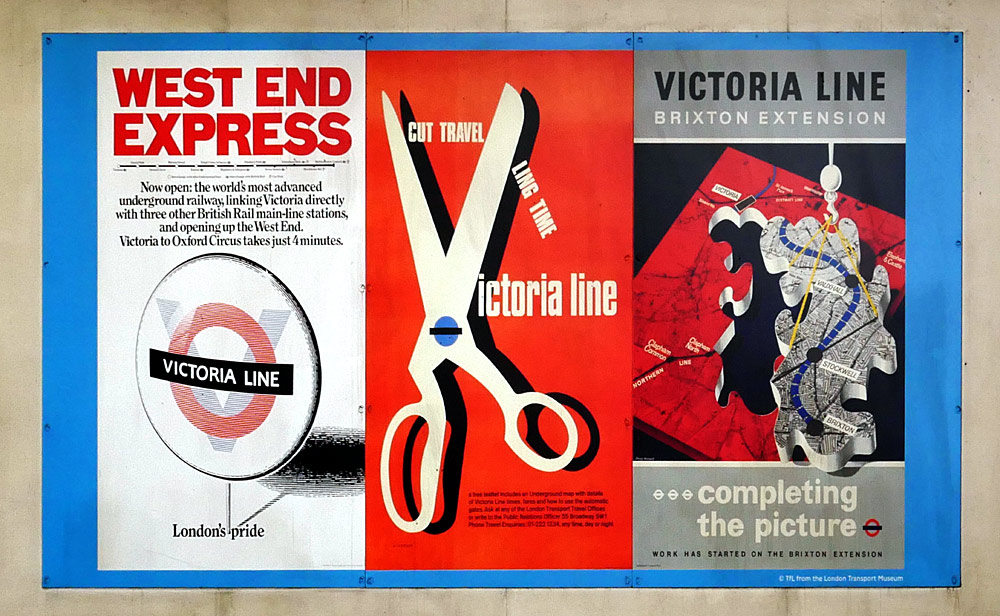
Historic Victoria line posters above the escalators
at Blackhorse Road station.
| Below / Above Ground |
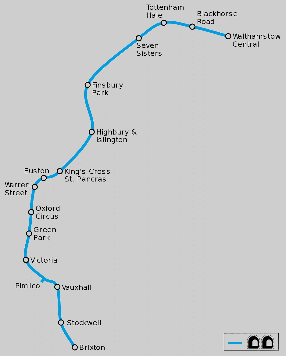
Map modified by me, original source & license:
Ed g2s / Wikipedia encyclopædia CC BY-SA 3.0
http://commons.wikimedia.org/wiki/File:Victoria_Line.svg
Click map to see larger version in a new window!
Apart from the depot - where the public are not permitted - this line is entirely below ground.
| General Information |
This was London's first automated underground line and is now the first automated line ('urban metro') ever to be upgraded with a new fleet of trains and a new (different) automation system - whilst still in full passenger service.
All of the line's original 1967 tube stock trains - plus the 1972 Mk1 trains which were added to the fleet in the 1990's - have now been withdrawn and replaced by the 2009 tube stock trains.
One unusual feature about the new trains is that they do not have heaters - anyone who has ever travelled on the Victoria line will know that these are only needed during winter months on trains entering service (at Seven Sisters station) from the depot; at all other times this line needs its trains cooling, not heating.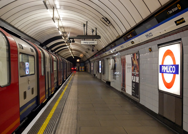
When first built the station names were illuminated from behind, nowadays only Pimlico station still retains this feature.
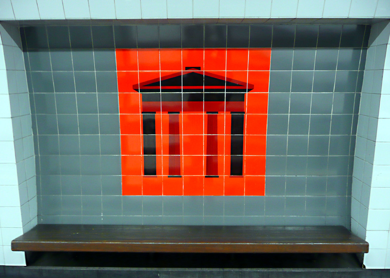
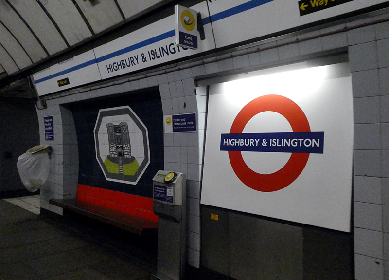
At Euston (left) the motif is of the Doric Arch (also known as Euston Arch) which stood outside the station until it was rebuilt in the early 1960's.
At Highbury & Islington (right) the motif is of a castle which used to exist in that part of London. The free-standing Oystercard readers are for the
convenience of passengers interchanging with the Northern City mainline / National Rail trains which also travel through tube train tunnels at this station.
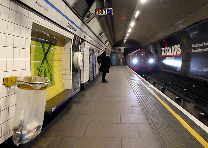
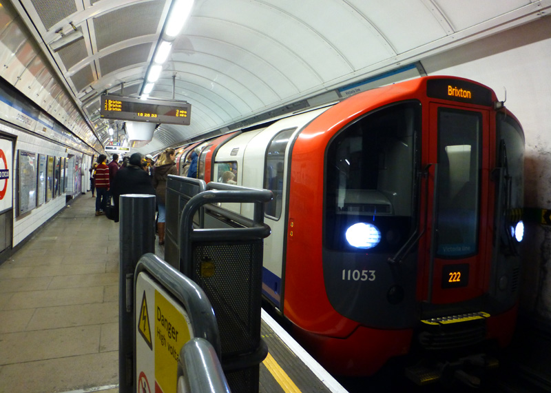
The motif of crossed pistols refers to historic times when this area was outside of London and the local park would be used by people trying to settle arguments by duelling.
at Oxford Circus station.
The platform at Finsbury Park (above - left) is taller than usual because it was originally built for what nowadays is known as the Northern City line (Finsbury Park - Moorgate) which uses large profile trains. In 1964 the Northern City line service was cut back to Drayton Park as part of the Victoria line project with the platform seen here being reserved for Victoria line trains and the adjacent platform being reassigned to the Piccadilly line (which had its platforms next to these). This was done so that there could be an easy same level interchange between the Victoria and Piccadilly line trains with one pair of side-by-side platforms being dedicated to northbound trains and the other pair of platforms to southbound trains.
At the same time a new pair of deep level tube train platforms were built at Highbury & Islington so that the Victoria and Northern City line trains could benefit from the same type of same-level cross passage interchange based upon direction of travel. In an unusual act of forward thinking (for transport planning in London) the new Northern City line tunnels and platform were built for large profile trains.
In those days the Northern City line service was part of London Transport and used small profile tube trains. It was reassigned to British Rail in the 1970s so that their Great Northern Electrics trains could use this route instead of going to three other London terminus stations - Kings Cross, Broad Street and Moorgate subsurface via the City Widened lines which are alongside the Metropolitan & Circle lines between Farringdon and Moorgate.
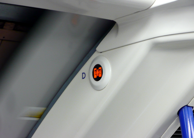
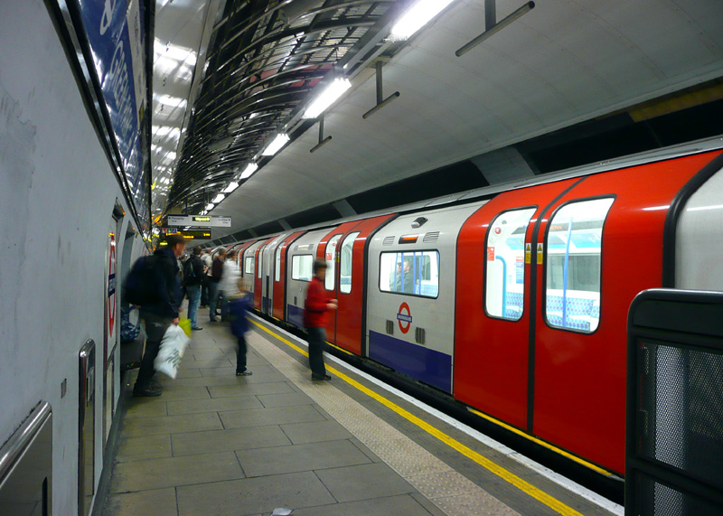
These illuminate when the door is open and flash when the doors are about to close / are closing. However they are so small that very few passengers will even notice them.
One of these can also be seen in the image below.
This image dates from before the yellow-and-black warning signs were fitted to the doors. Also visible is an electronic destination display on the train's side.
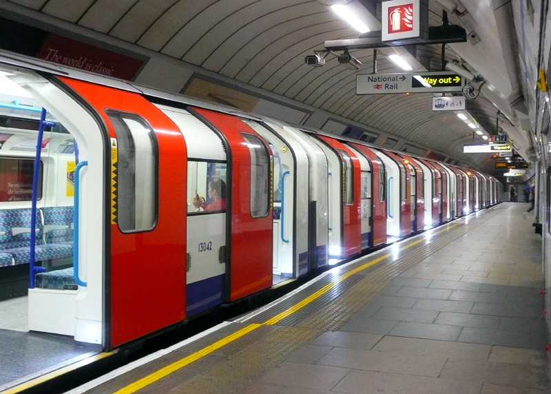
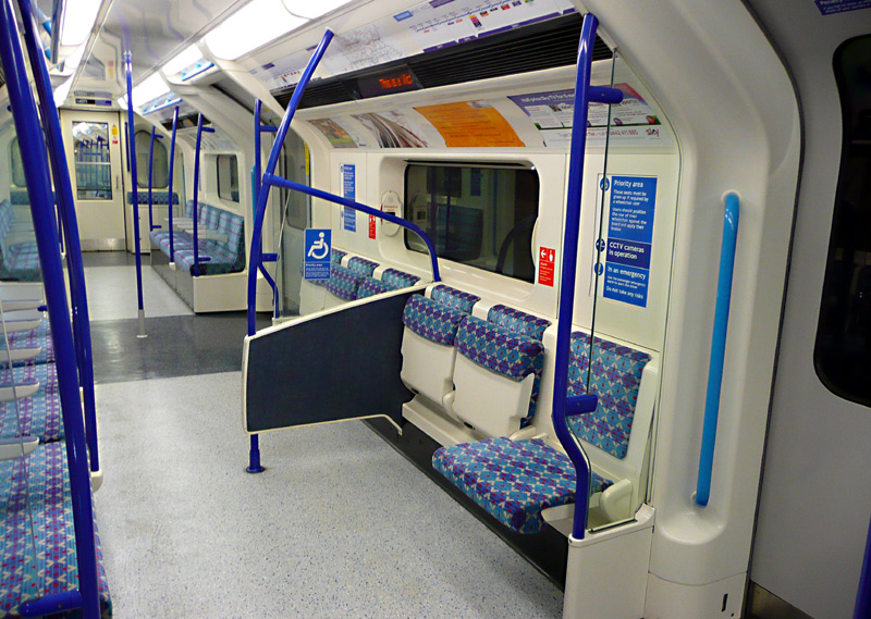
facilitate 'easy access / level entry' to a part of the train (seen here at Finsbury Park), plus wheelchair spaces inside the trains.
| Waterloo and City Line |
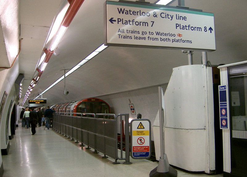 |
|
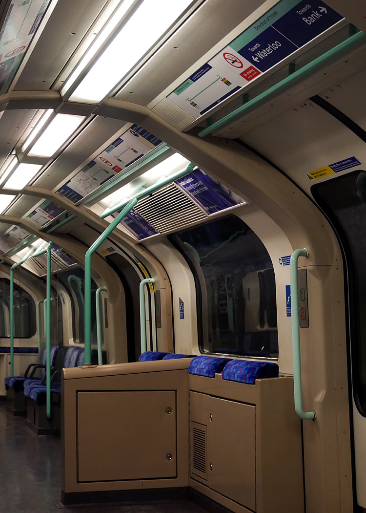 |
|
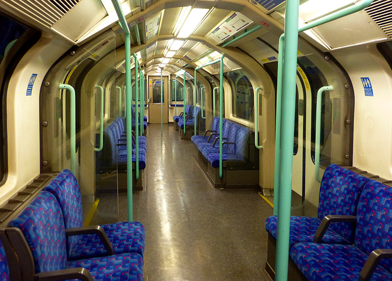 |
What can not be seen in these photographs are the CCTV cameras.
Waterloo & City line 1992 tube stock trains are formed of two semi-permanently coupled two-car units. One of these cars has a train driver's cab and at the opposite end of the other car there are rudimentary driving controls - for use in the depot. This means that each two-car unit can be driven from each end.
Normally Waterloo & City line services operate as 4 car trains, with drivers' cabs only at the outer ends of the train - it is very rare to see a drivers' cab elsewhere along a train.
Waterloo & City line 1992ts trains use a train control system which is different from that used by the Central line's 1992ts trains, making the two fleets electrically incompatible.
| Below / Above Ground |
Entirely underground.
Click map to see larger version in a new window!
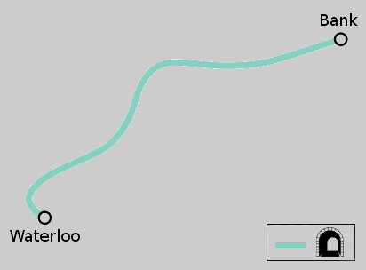
Map modified by me, original source & license:
Mr Thant / Wikipedia encyclopædia CC BY-SA 3.0
http://commons.wikimedia.org/wiki/File:Waterloo_%26_City_Line.svg
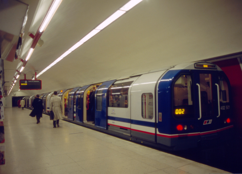
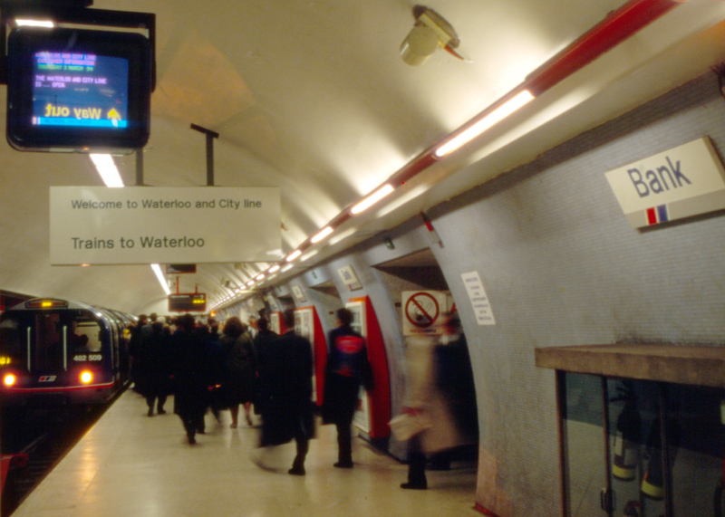
| General Information |
This line closed completely during the 2020 - 2022 virus pandemic. Although it has now reopened the service only operates Monday - Friday. It remains closed at weekends and on bank / public holidays.
It is best to avoid the rush hours - when the trains are very, very, busy.
At Waterloo there are separate arrival and departure platforms which have independent platform accesses, and between journeys the trains go into the depot - which can be seen from both platforms.
Until railway privatisation in 1994 this line was part of British Railways - Network SouthEast - and on some station platforms you will still see some Network SouthEast logos.
Services on this line are provided by trains which were built at the same time as the Central line 1992 Tube Stock. At the time British Railways called them Class 482, but nowadays they are known as 1992 Tube Stock.
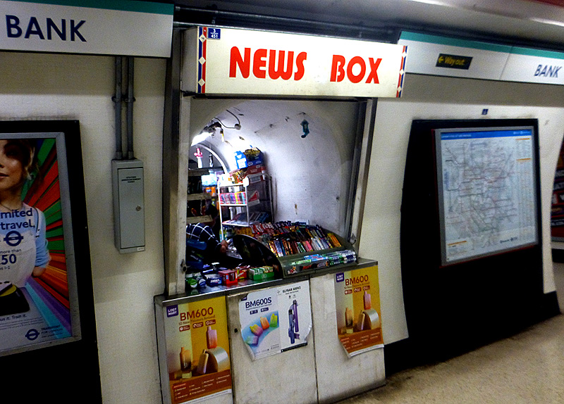
Located in the tunnel wall at Bank station this small
confectionary and soft drinks outlet has sales windows
at both ends so that it can serve both platforms.

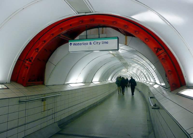
This view also shows the raised section of platform which formed part of the first experimental attempts to find an affordable solution to creating 'easy access / level entry' (albeit only at certain specified train doorways) on older sections of the London Underground.
This can be seen in an interchange passageway at Bank station.

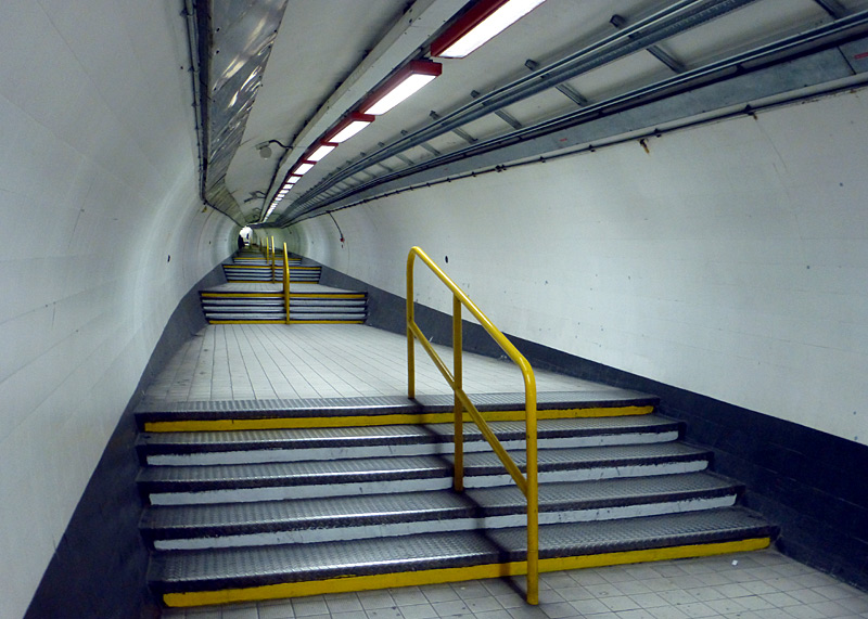
The Waterloo and City line is unique in London in that it is not directly connected to any other railway tracks. The only way for trains to 'get in' (or out) is by crane through an access hatch in Spur Road, which is near the exit from Waterloo National Rail (main line) station next to platform 1 - cross the taxi road at the pedestrian traffic signals; pass through the opening in the wall; turn left and descend the steps / ramp along Spur Road and the crane & hatch will be on your left.
A link to a Google map showing this location can be found below
http://maps.google.co.uk/maps?q=spur+road+waterloo+london&hl=en&ll=51.502332,-0.109756&spn=0.00561,0
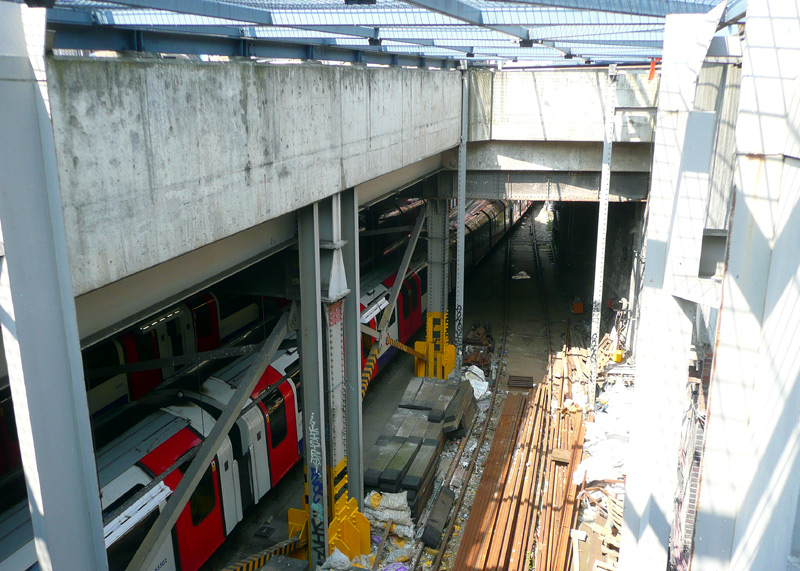
The view on the left was taken looking towards Waterloo main line station, which can be seen in the background.
The view on the right looks down into the Waterloo and City line depot. The opening has a metal mesh cover designed to prevent unauthorised access.
Since these two photographs were taken a barrier has been installed to prevent people accessing this location.
| Extra Information |
The Waterloo & City line has a different history than most of London's tube lines in that it was built by an existing main line steam railway - the London and South Western Railway (L&SWR). The reason was that the L&SWR wanted to link its large terminus station at Waterloo with London's Financial District.
Over the years there have been suggestions that this line should be extended so that it becomes more than a simple two station shuttle, and that an intermediate station should be built where it passes below Blackfriars station.. However none of this is likely to happen. This line is so busy in the rush hours (and the trains are so crowded) that there is a very good case for leaving it exactly as it is.
Two changes which could yet come to pass are:
1) A small platform extension at Bank station to make it possible to use longer five carriage trains. This would be to help ease severe rush hour overcrowding. The platforms at Waterloo can already accept
longer trains.
2) Conversion to have London's first fully automated driverless / unstaffed passenger trains - such systems already operate in many overseas cities very successfully and as this
line only has two stations it has sometimes been suggested that it could act as a present-era demonstration system for similar train operations elsewhere on the London Underground.
Both of these ideas will probably be realised when the trains are replaced, as part of a route upgrade project.
For those who have heard of the terminologies, what is being proposed here conforms to the International Association of Public Transport (UITP) classification grade of automation 4 (GoA 4) and unattended train operation (UTO).
The use of unstaffed trains in London has historical precedents. The former Post Office railway used unstaffed trains but these only carried mail - and not passengers. In the 1970's unattended train operation was tested on the Hainault - Woodford section of the Central line, albeit not in public service. This project was called FACT - Fully Automatic Control of Trains. It is understood to have concluded in 1978 - due to a lack of finance.
Two fully unstaffed automated passenger transport 'people-mover' systems are already being used in London - at Heathrow Airport Terminal 5. One is 'airside' so only accessible to arriving and departing passengers. This uses Bombardier Innovia APM 200 vehicles. The technology is already well-proven as for many decades Gatwick and Stansted airports have also used similar fully automated airport transit systems, albeit with earlier generations of rolling stock. Although rubber-tyred these are still trains which (in some cases) call at multiple stations. Especially in France some of the automated unstaffed urban metro systems use rubber tyred trains.
The other automated service at Heathrow Terminal 5 links the terminal (and a hotel) with the car park and uses small battery powered pod cars designed for just four passengers plus their luggage.
This is a road-based PRT (personal rapid transit ./ transport) system called ULTRA ('urban light transit') which was developed by the British engineering company Ultra Global PRT (formerly Advanced Transport Systems).
Read More - the links open in new windows .
https://clondoner92.blogspot.com/2016/11/ultra-heathrow-pods-prt-we-need-them.html
https://www.ultraglobalprt.com/
Local Light Railways
London also has two rail networks which provide local transport within relatively small parts of the greater London area. In virtually any other British town these networks would be large enough to form excellent cores serving large parts of the entire conurbation; its only because London is so big that they seem so 'small'.
Many people who live in regional towns outside of London look upon London's transports with envy, wishing that similar investments could be made in their home areas as well. For lower capacity routes trolleybuses (which share the same clean air attributes) would also provide a discernable 'step change' improvement on diesel buses. The core issue here is that the Treasury wants people driving cars so that it can receive high levels of income from the taxes imposed on motoring fuels.
| The Docklands Light Railway |
|
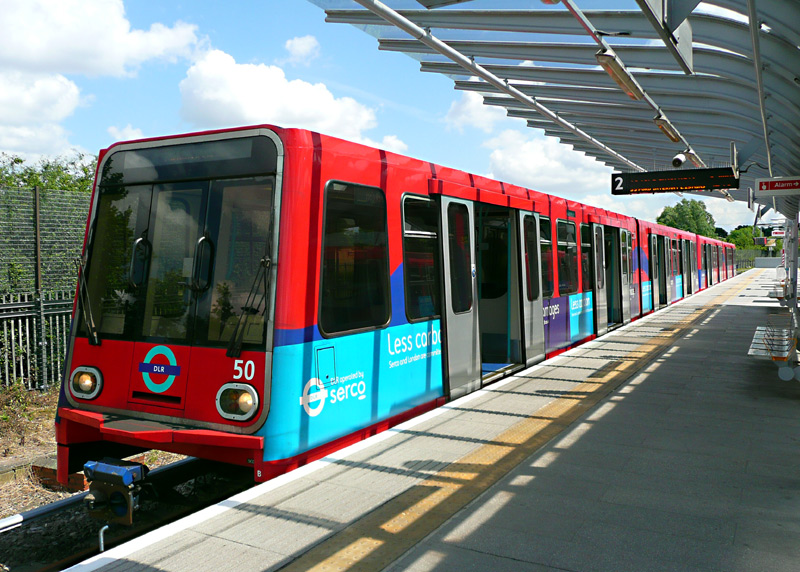
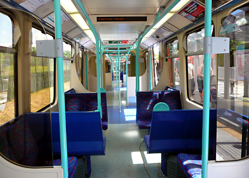
When this page was created (autumn 2015) DLR trains had either red or black ends; however they are all now black.
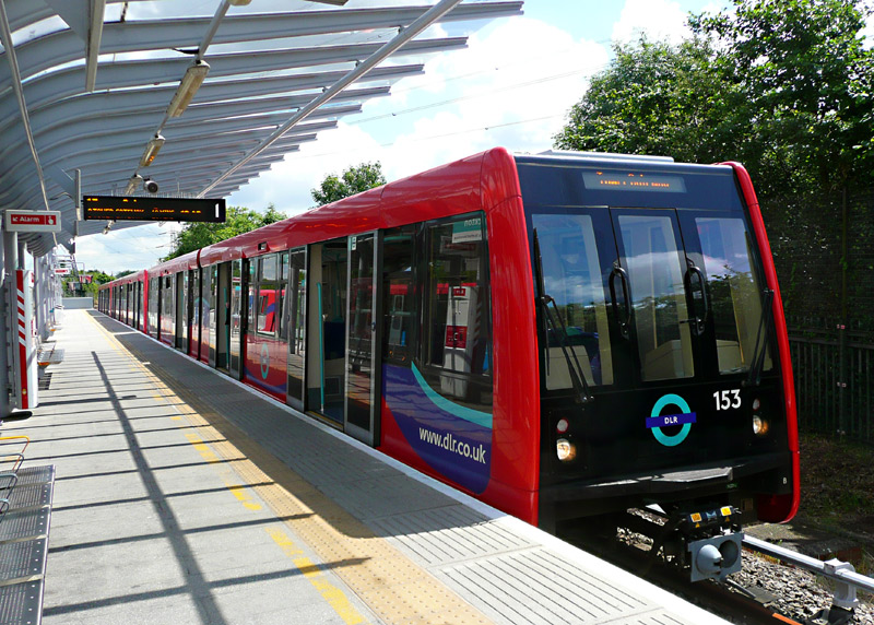
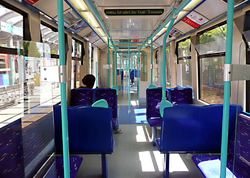
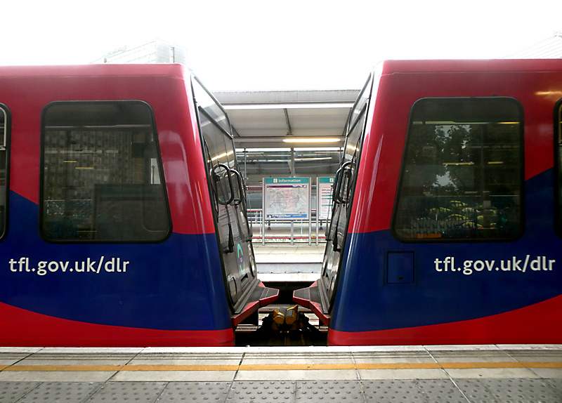
DLR services using these older types of rolling stock seen
comprise two or three 'two section' train units which when coupled together leave some wasted space at the internal train ends.
This image: platform 17, Stratford station.
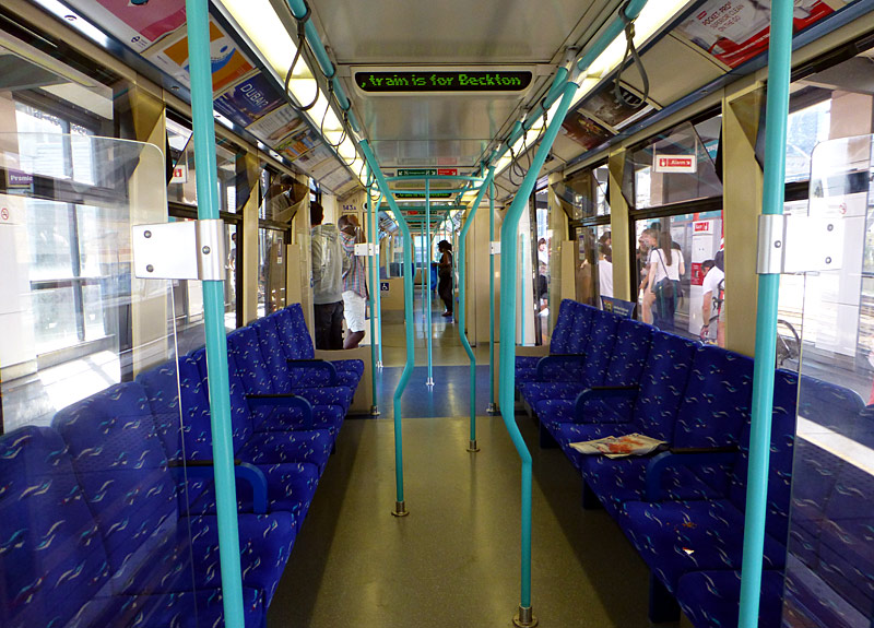
To encourage standing passengers to move inside the trains the seating layout inside some B07 trains has been changed with some transverse seats being turned around to become longitudinal seats.
B23 Trains: Since its inception all DLR trains comprised 'two section' articulated train units which when coupled together leave some wasted space at the internal train ends. However this situation is changing - because a new fleet of trains has started replacing the trains which date from the 1990s. The new trains have five carriages and are approximately the same length as older triple-unit / six section trains and by being of a fully walk-through design offer an advertised 10% increase in passenger capacity.
Built by Spanish train builder CAF and part of their Inneo brand of trains, the B23's are fully air-conditioned and for the first time on the DLR include several designs of full colour information display screens - the wide format displays are for real-time passenger information and the upright format display are expected to be used for other information and perhaps even paid advertising. The trains also feature the 'more traditional' plain paper route maps above the passenger doors.
One bizarre quirk with the new rolling stock is that carriages 1, 3 and 5 have two sets of double passenger doors per side whilst carriages 2 and 4 have three sets of double passenger doors per side.
Two sets of doors per side mean that there is more 'wall space' available for more passenger seats. Three sets of doors allow for faster passenger alighting and boarding, which should mean shorter 'station stop' dwell times.
The first B23 train entered service (after a long delay) in September 2025. During the delay there was the discovery of a totally unexpected and unrelated automated train control signalling issue and even though it was realised to have been extant for many years (without ever compromising safety) the various authorities decided that until it is resolved the top speed of the existing trains should be reduced, journey times extended plus the cancellation of the peak-hour through service between Lewisham and Stratford.
Unfortunately, in early November 2025 a B23 train overshot a station whilst trying to stop, and then performed an emergency stop.. This was during a torrential rain storm which had made the rails very slippery.
Following this it was decided that the B23 trains were to be temporarily withdrawn from service.
(Slipping on wet rails is a rare - but not unknown - issue with the other DLR trains and indeed other
railways that use automated train control to 'drive' the trains).
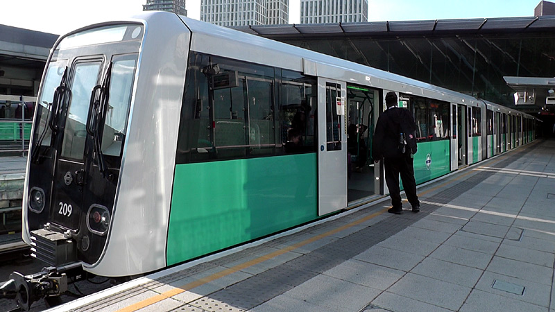
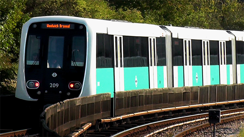
The Abbey Road view clearly shows the mix between two and three pairs of passenger doors along different parts of the train.
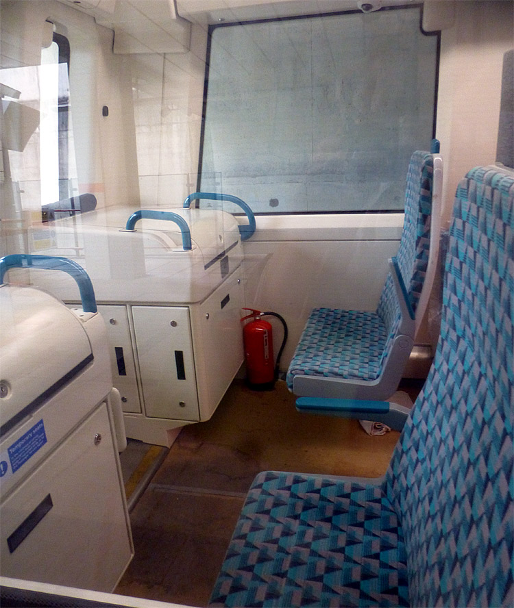

Some of the longitundal seats are fixed, others are folding (tip-up). Some seats next to grabrails are identified as 'priority' seats.
All transverse seats have armrests (seen above-left with one deployed, one folded up) but only some longitidinal seats have armrests.
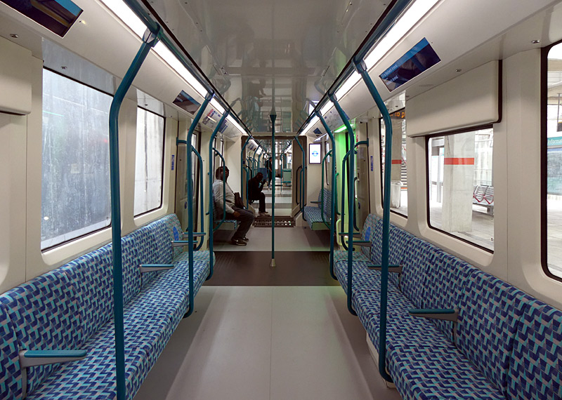
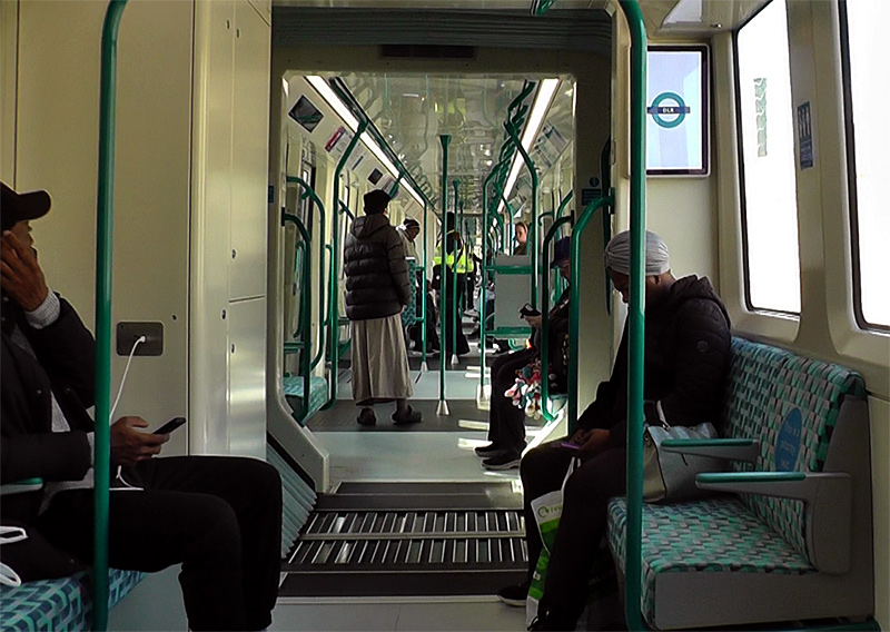
Image & license: Fortek67 / Wikipedia encyclopædia CC BY SA 4.0 https://commons.wikimedia.org/wiki/File:London_Underground_2024
_Stock_during_testing_at_Hammersmith_station_(2).jpg
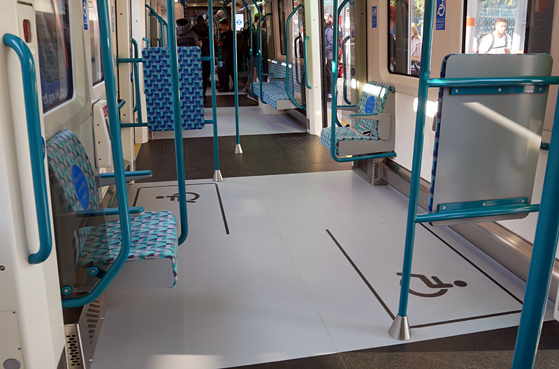
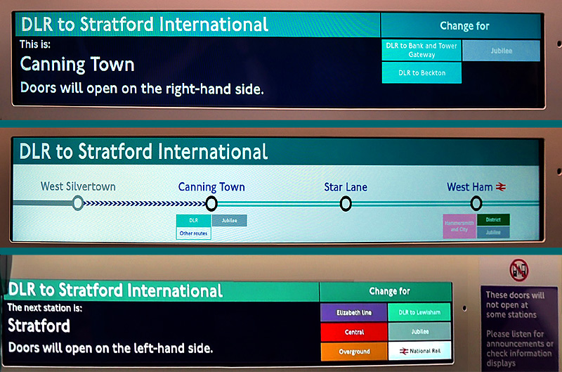
There is also spoken word information.
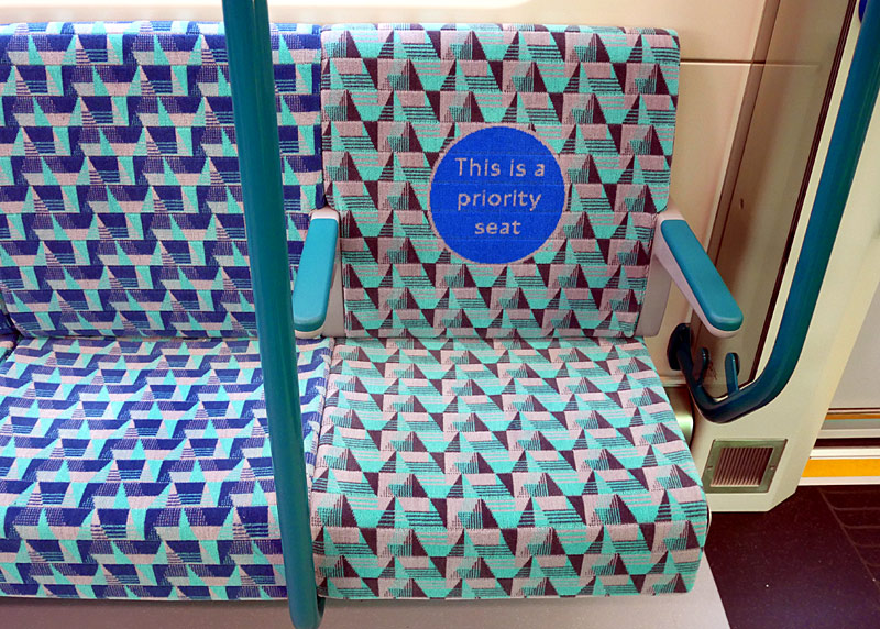
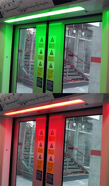
and next to a floor to ceiling handrail.
| Below / Above Ground |
Whilst most of the DLR system is elevated on modern or historic viaducts, some sections are at ground level and there are also some tunnels - in both single track 'tube train' and twin track configurations.
| Claustrophobia |
Information for people who are happy to travel on trains which are above ground but experience claustrophobia when in tunnels.
Not all sections of tunnel on the DLR are actually underground. Some of the tunnels are surface routes which have been been built over, for instance: just north of Stratford station.
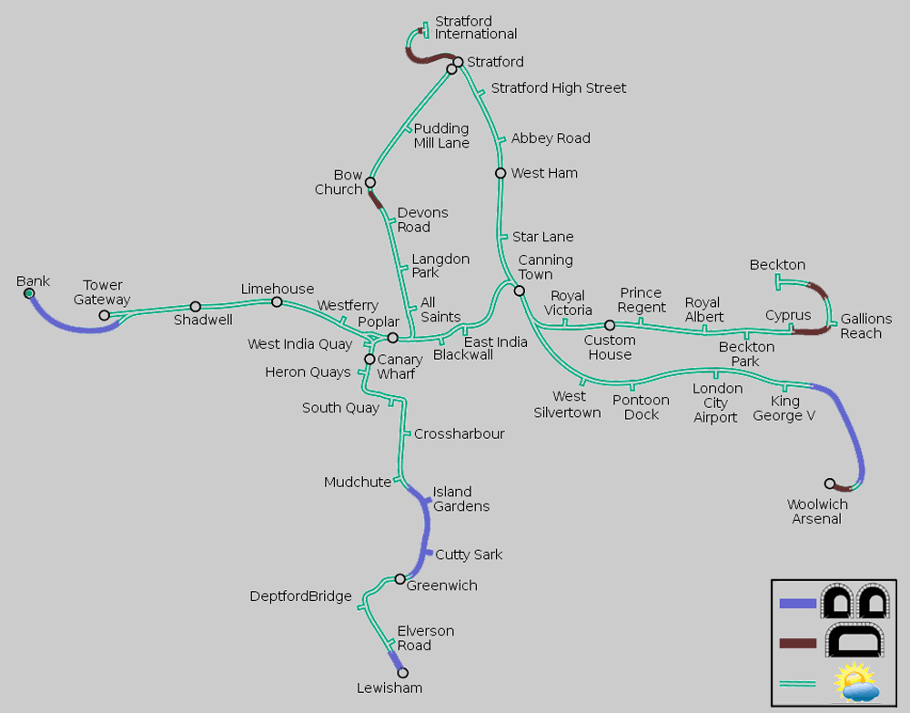
Map modified by me, original source & license:
Ed g2s / Dtcdthingy / Wikipedia encyclopædia CC BY-SA 3.0 http://commons.wikimedia.org/wiki/File:Docklands_Light_Railway.svg
Click map to see larger version in a new window!
* Stratford - Stratford International
|
* King George V - Woolwich Arsenal (passes below the River Thames)
|
| General Information |
The DLR is unique amongst London's railways in that it uses an under-running third rail power supply system. The advantages of this system are twofold. It is much safer, as the sides and top can be covered - reducing the danger to railway staff who work in close proximity to the tracks. In snowy weather the underside is protected from the snowfall and therefore considerably less likely to be covered / blocked by snow or ice. This helps keep the service running in weather conditions which sometimes defeats London's other railways. London's other railways which use powered rails collect their power from the top surface, which is easily blocked by snow / ice, preventing the train collecting electrical power.

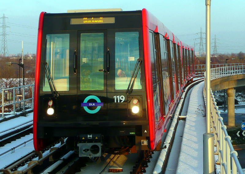
The snow in the image on the right makes it very easy to see third rail power collection shoes sticking out from the side of a train.
The DLR uses GoA 3 Driverless train operation (DTO), which includes there always being a human member of staff (a passenger service agent / PSA) on every train. In addition to closing train doors at stations and initiating station departure the duties of the PSA include checking that passengers have valid tickets and offering travel advice.
DLR stations are mostly modern with glass shelters, although exact architecture will vary depending on when they were built or rebuilt. One of the most modern stations is Langdon Park which is on the Canary Wharf - Stratford (platform No.4) route. This is on a north-south alignment and if you wish to photograph the station name this is best attempted in the morning.
When it first opened the DLR comprised three main branches which met at a triangular junction (called: Delta Junction) between Poplar, Westferry and West India Quay stations. This included newly built track on viaducts in the former docks area which (at that time) was being repurposed as London's second financial district (Crossharbour - Delta Junction) and former mainline railway routes. (Stratford - Poplar, Tower Gateway - Poplar and Crossharbour - Island Gardens).
Mostly the former mainline railway sections were first built over 100 ago and for various reasons had later closed, however part of the route between Tower Gateway and Limehouse had four tracks - all of which were still being used by passenger trains operated by British Railways - and the government forced them to give up two of the tracks along this section of railway so that DLR trains could use them.
The routes to Bank, Lewisham, Beckton and Woolwich Arsenal were built as brand-new extensions to the system, however whilst Stratford International - Canning Town was also an extension most of this route replaces a mainline / National Rail service that was closed specially so that it could become part of the DLR.
Abbey Road Station One of the album cover photographs of the famous music pop group called The Beatles shows them on a zebra (pedestrian) crossing close to the Abbey Road studios where they recorded some of their songs. Tourists wanting to visit this location should go to St John's Wood Jubilee line underground station - and NOT the DLR station called Abbey Road.
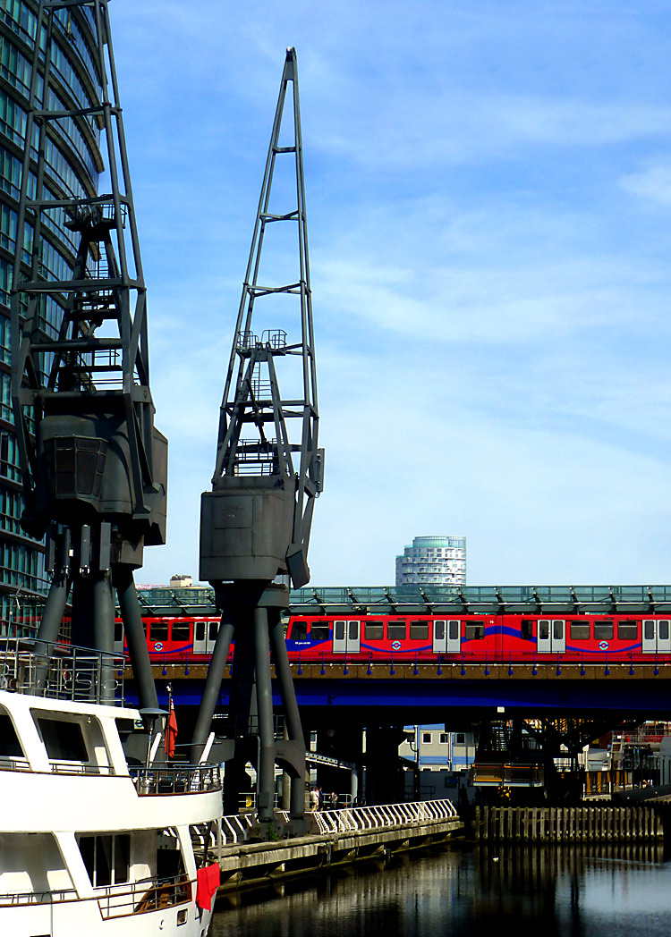
- but at owner's risk!
| Photographic Advice |
Transport enthusiasts need to be aware that the DLR has photography rules which differ from London's other railways (of all types). To the DLR anyone using cameras (still image / video) at the same station for more than 10 minutes is seen as "working" there. Even tourists taking a few photographs!
Normally when people are working on a railway they need to comply with a range of safety requirements which includes completing a risk assessment, having public liability insurance, signing in and out at the start and end of the work duties and possibly even undergoing safety-related training. Sometimes the railway operator would also wish to supply a member of staff to oversee the filming and help ensure safety. All these cost money!
The best advice which can be given here is to explore the system filming one train and catching the next (even if only to the next station)... which for some routes will be very easy as even on Sundays trains come every 10 minutes (or more frequently) whilst at stations served by multiple routes trains are even more frequent.
The DLR also prohibits filming during the Monday - Friday rush hours, when many stations are very busy. But they welcome visitors at quieter times - which means all day weekends plus Monday - Friday 10am - 4pm (10:00 - 16:00) and after 7.30pm (19:30).
Unfortunately, as on all railway systems there are some staff who make up their own rules and simply say "no".


Passengers wanting these stations should walk through the inside of the train to a section which is within the station platform.
| For Tourists / Visitors to London |
Many tourists like to take the DLR out of Bank station, sitting at the front and watching where they are going. At an absolute minimum you should travel at least as far as Canary Wharf. This station has 3 tracks, but 6 platforms. Every train opens its doors on both sides! Canary Wharf is at the heart of London's Docklands financial district and there are also several indoor shopping malls which include food courts and free toilets / restrooms.
If you go to Crossharbour and walk alongside the railway northbound towards South Quay then you will pass a road junction (Marsh Wall South Quay and Limeharbour) where the elevated railway turns a sharp corner, and from the opposite side of the road it is possible to see (and photograph) both sides of the train simultaneously! Plus for added benefit you will see the train’s reflection in the glass wall building. This is easiest with triple-unit and B23 trains and at times of the year when the trees are not in leaf.
To increase system capacity and avoid delays whilst travelling over a flat crossing, trains from Bank going to Lewisham usually travel on a by-pass track which misses out West India Quay station; the ride is the nearest to a (low-speed) rollercoaster that public transport could ever offer, with the by-pass track threading its way over and then under existing lines.
Another popular destination is the historic Greenwich area; Greenwich station is a Victorian-era building dating from 1838 with 4 platforms and is also served by SouthEastern and Thameslink trains (from Cannon Street and London Bridge mainline / National Rail stations).
South of Greenwich the line is mostly elevated and twists and turns as it follows a river valley. Especially when looking out of the window on the left (travelling south) many historic wharfs and other light industrial sites can be seen, although some of these may be disused. The DLR station at Lewisham is next to the mainline / National Rail station; interchanging passengers paying fares using Oyster / smartcard PAYG will need to use the freestanding - card readers when leaving the DLR station plus the ticket gates when entering the mainline Lewisham station. Cbviously since you should have a valid ticket so this should not be a problem.
Having arrived at Lewisham, if you then catch a train (destination: Hayes) to Elmers End you can also sample the Tramlink system (PAYG users: it is important to use the Tramlink card readers on the platform at Elmers End before boarding the tram!) See the Tramlink page for further information. NB: Although I have always been happy to pass through the Lewisham stations, this is a high crime area where I would NOT be happy walking about the streets, especially not with cameras visible.
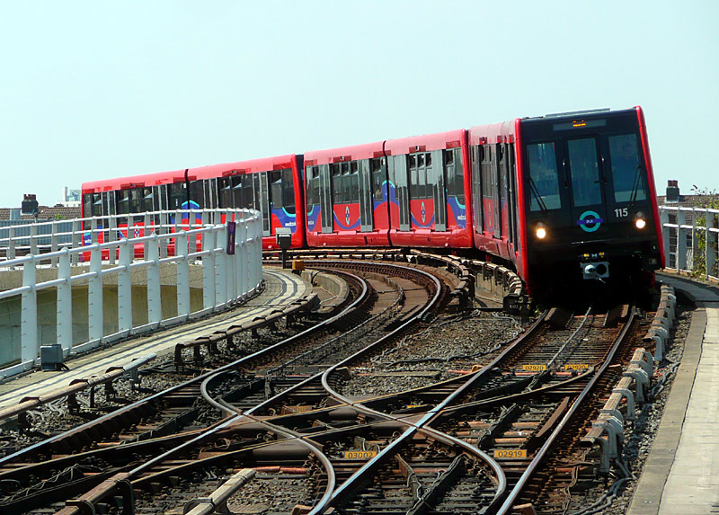
| Present-day DLR Services |
Over the years train services have varied slightly as the system has expanded; nowadays there are five primary routes, some of which overlap to provide multiple destinations from many stations.
Despite the many routes the DLR system does not have route names or numbers, which can sometimes be confusing.
- Bank - Lewisham
- Bank - Woolwich Arsenal (via London City Airport)
- Tower Gateway - Beckton
- Stratford - Bow Church - Canary Wharf.
- Stratford International - Canning Town (via West Ham) - and then
eitherto Woolwich Arsenal (via London City Airport)or Beckton.*
*Because of a shortage of trains the Beckton service has been temporarily cancelled - passengers wanting the Beckton branch are best advised to take the first train and change at Canning Town.
Even on Sundays the DLR operates frequent services - typically every 10 minutes, or less. But before travelling it is always wise to check whether weekend engineering works mean that some of the system is closed.
| Same Station - Different DLR Routes - Different Platforms |
At Stratford and Canning Town stations different DLR services use different sets of platforms. This can be confusing!
Stratford:
Trains to Canary Wharf via Pudding Mill Lane use platforms 4a and 4b which are at the upper level at the western end of the station. Most signs in the station just refer to platform 4.
Trains to Stratford International use platform 16 and trains to Woolwich Arsenal use platform 17. These are at the lower level, near to the platforms for the Jubilee line.
The situation at Stratford is looked at in greater detail in the busier stations in zones 1-4 section of this page which looks at stations where there is a wider variety of trains to see.
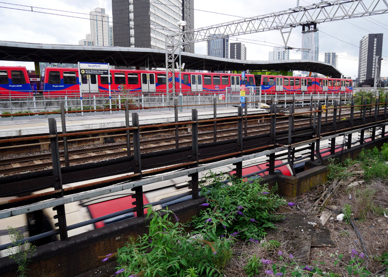
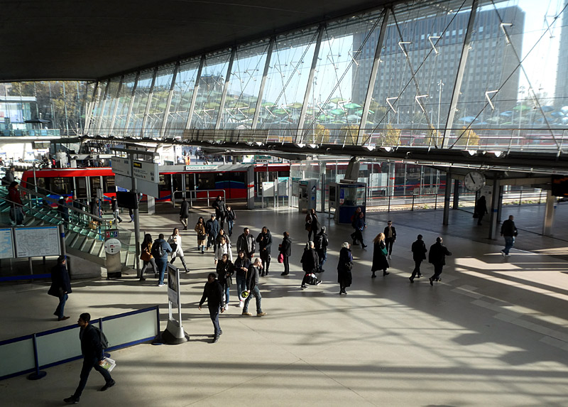
Left: A DLR train on the route to Canary Wharf via Pudding Mill Lane at platform 4b. Also seen here is an eastbound Central line train arriving at platform 6.
Right: A DLR train going to Stratford International on the route via Canning Town calls at platform 16. This is on the lower level / next to the Jubilee line.
Canning Town:
Trains on east-west DLR services to / from Bank or Tower Gateway stations call at platforms 3 & 4 (above the Jubilee line) whilst north-south DLR trains
travelling to / from Stratford International station call at platforms 1 & 2 which are located at ground level between the Jubilee line and the bus station.
Choosing the correct platforms is easy for most destinations, except for trains to Woolwich Arsenal via London City Airport as these depart from both platforms 1 and 3. Trains to Beckton mostly also depart from platform 3 but when the shortage of trains has been resolved they will also depart from platform 1 (if they came from Stratford International) or platform 2 (if they reversed their direction of travel here).
Also note that the elevated platforms 3 & 4 (ie: above the Jubilee line) are very exposed and windswept - this means that passengers using these platforms will find them very cold in winter, and wet in rainy weather.
The situation at Canning Town is looked at in greater detail in the shared service routes section of this web page.
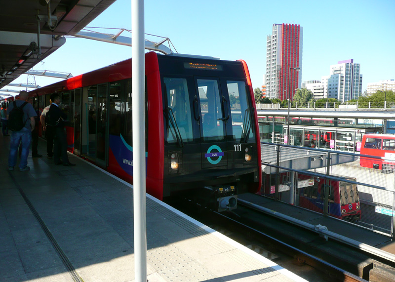 |
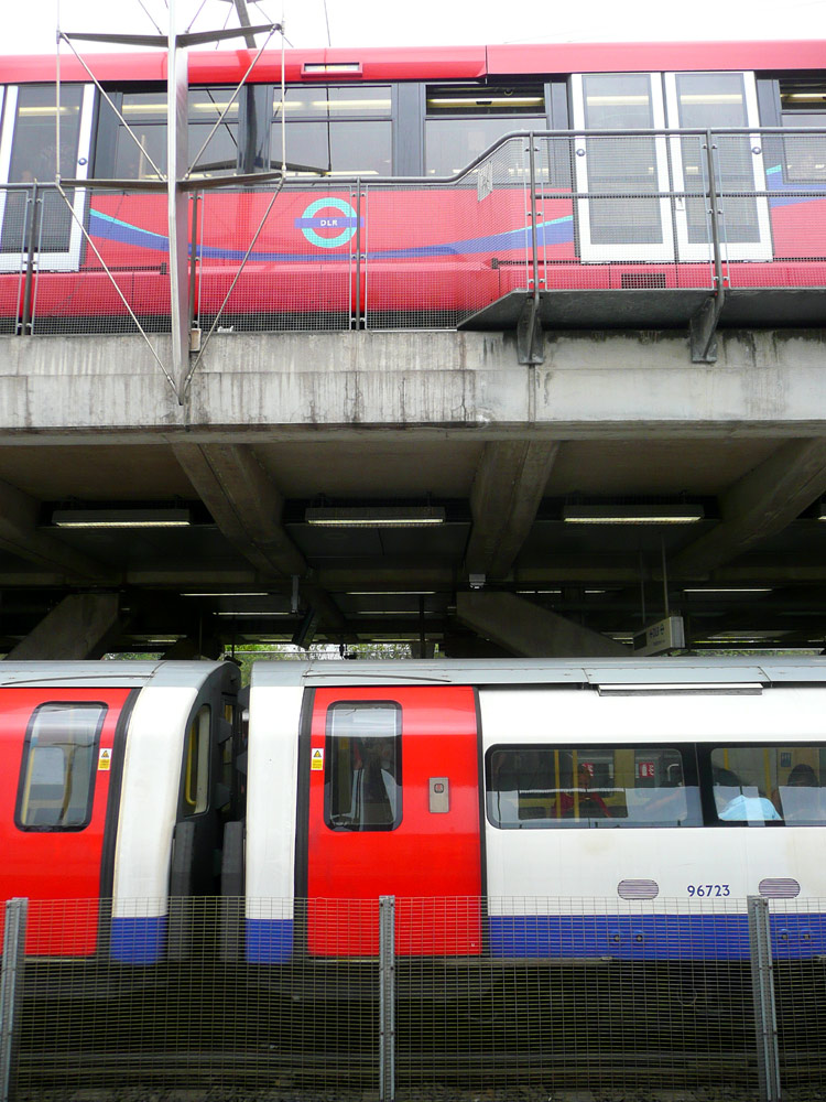 |
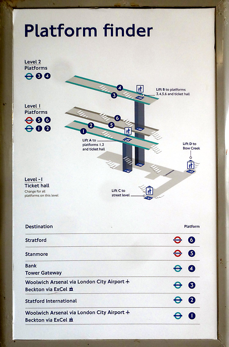 |
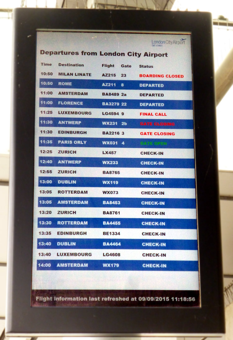 |
Centre - left: The view from platform 2: a Jubilee line train at platform 5 and a DLR train at platform 3
Centre - right: Some passengers find Canning Town station somewhat confusing; to help them there is this way-finding sign.
Right: London City Airport (LCY) flight departure information on the high level DLR platforms.
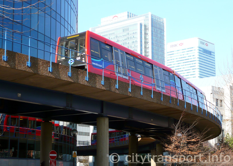
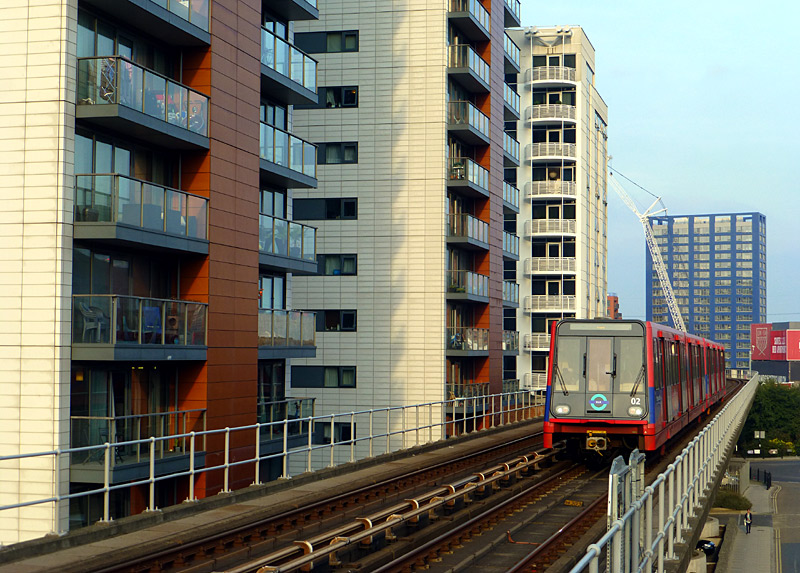
Harbour Exchange Square, which is between South Quay and Crossharbour stations. The glass wall building adds extra interest.
This southbound triple-unit train was photographed a little after midday, on a sunny winter day when the trees were not in leaf.
Depending on the type of English one speaks these could be
known as a block of flats, apartments, condominiums...
| DLR Branch Lines 1: The Initial System |
This section looks at the DLR network - starting with the system as it was when services began in 1987.
This is triangular shaped and located between Westferry, Poplar and West India Quay stations.
The original 1987 network only normally saw through trains between West India Quay and either Westferry or Poplar. Until the opening of the extension to Beckton the direct route between Westferry and Poplar was mostly used by trains not carrying passengers.
As the DLR expanded it was realised that there were too many conflicting moves in this area, so many by-pass tracks were built as this allowed some trains to avoid the Delta Junction. These by-pass tracks make it possible to prevent trains on one route from being delayed whilst waiting for trains on another route to pass by.
The 2011 opening of the route between Canning Town and Stratford International meant that for the first time there was a service that completely avoided this area.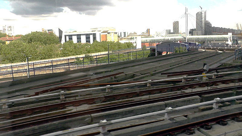
The Delta Junction:
Nowadays the tracks which form the direct route between Westferry and Poplar stations have been removed and replaced with by-pass tracks that allow trains to avoid conflicting movements.
Filmed on a train travelling from West India Quay to Westferry.
The white structure on the right is the footbridge just outside Poplar station. This is an excellent viewpoint from where to watch trains and the stairways (at each end) allow clear unobstructed photography.
The area around the Delta Junction is the busiest part of the DLR system - it is served by trains in four different routes and and even at quieter times hardly more than a few minutes pass before the next train(s) arrive on the scene.
The two views below show trains travelling from Poplar to Westferry using an underpass track to bypass the Delta Junction
and travel below a train travelling from Poplar to West India Quay.
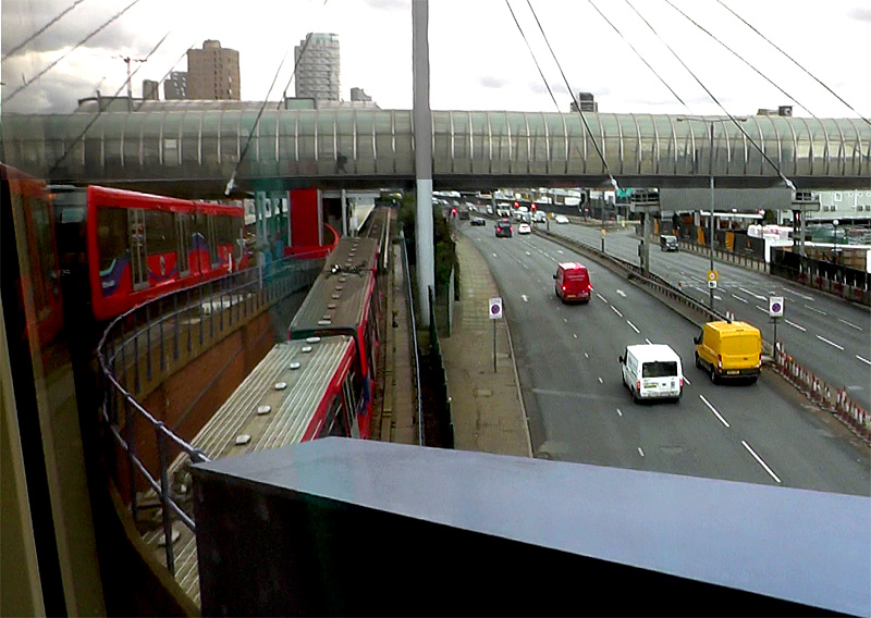
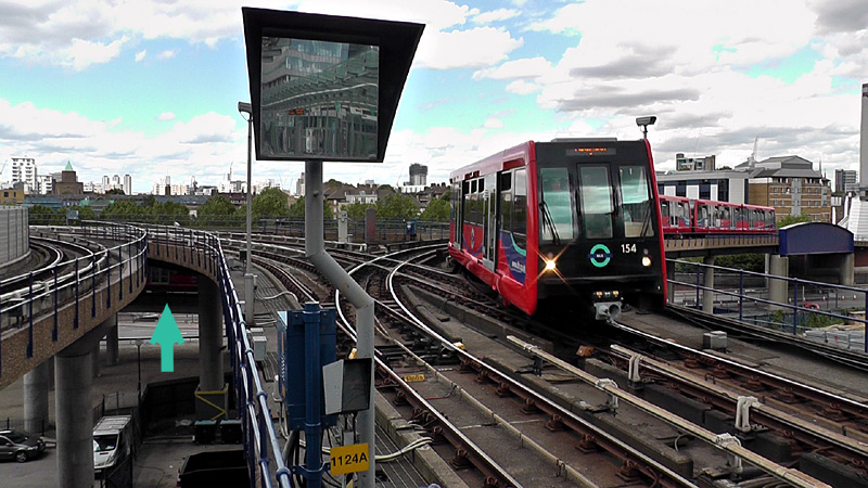 A
APoplar to West India Quay, below me is a train travelling
from Poplar to Westferry.
The train with unit No. 154 at its front is travelling over the Delta Junction on a journey from Poplar and West India Quay. The teal coloured arrow on the left points to a train that is using an underpass track to avoid the Delta Junction on a journey from Poplar to Westferry.
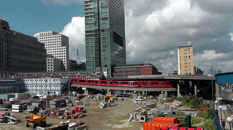
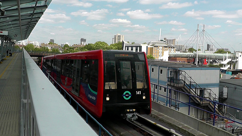
and then under the tracks used by trains between West India Quay and Poplar (as seen above-left).
They then rise up alongside West India Quay station, but because of the steepness of the incline they pass through without stopping (as seen above-right)
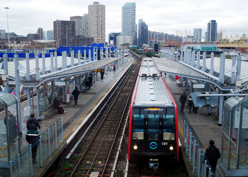
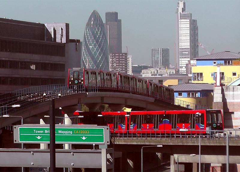
These views at Poplar were filmed from a public footpath just outside the station.
With four tracks and two island platforms Poplar is one of the largest stations to be served solely by DLR trains.
The outer two platforms are served by trains travelling east-west between Bank / Tower Gateway and Woolwich Arsenal / Beckton.
The inner two platforms are served by trains on the north-south Stratford - Bow Church - Canary Wharf (- Lewisham) service.
This station is designed for easy cross-platform interchange. Maybe I've just been unlucky but I've never known a train to be held if another train is arriving at the other platform!
Bank / Tower Gateway:
Apart from the tunnels to Bank station the entire route between Bank / Tower Gateway stations and Limehouse station is alongside the tracks used by C2C electric multiple-unit trains from Fenchurch Street station,
using an historic elevated viaduct that was built in 1840 by London and Blackwall Railway and widened to four tracks in 1893.
Tower Gateway station is a (short) walk from Tower Hill Underground and Fenchurch Street C2C railway stations. The station is distinctive because it has 2 platforms but just 1 track. To make life easier one platform is for arriving passengers and the other platform is for departing passengers. This is the only station in London which uses this system. The arrival platform is also a good photo-spot to watch trains on the nearby C2C service travelling to / from Fenchurch Street station. (It is not illegal to photograph the C2C trains but some DLR staff complain if they see you with a camera!)
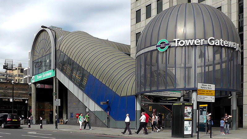

from when the DLR first opened in 1987.
and the other to departing passengers.
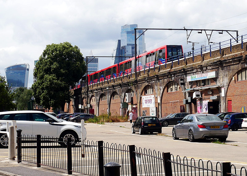
Filmed looking west along Cornwall Road, next to the exit from Shadwell London Overground station - Shadwell DLR station is close nearby.
The DLR came first - the buildings were constructed above and around the trains!
Filmed looking west on Royal Mint Street very close to the junction with John Fisher Street.
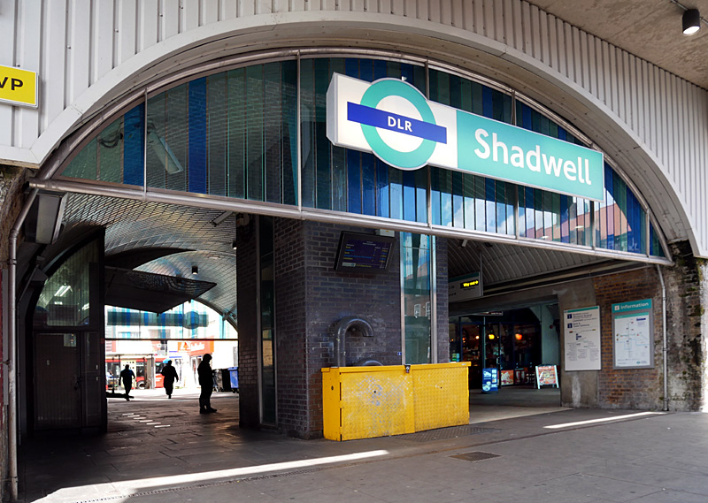
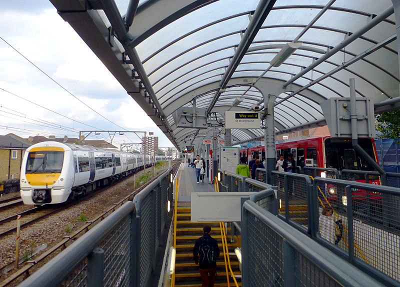
Pasengers who wish to change trains between the DLR Shadwell station and London Overground Shadwell station and are paying their fares in PAYG (pay as you go) mode can take advantage of the 'out of station interchange' feature (OSI) to be charged one through fare for their journey.
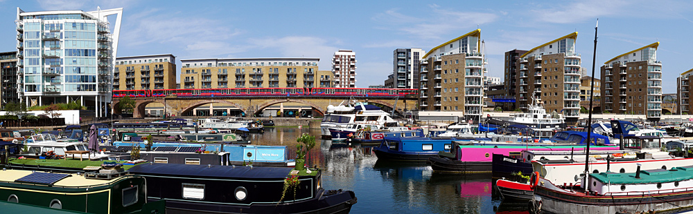
A DLR train passes Limehouse Basin, which is very close to the River Thames.
This is a panoramic photograph as it is a better way to show this location. The train was moving at the time so is somewhat 'elongated'.
Stratford via Bow Church:
Most of the DLR's route between Stratford and Bow Church station is located alongside the mainline railway out of Liverpool Street station. Especially at busier times you have a good chance of seeing
many types of mainline trains, including Greater Anglia Class 745 Stadler Flirt InterCity trains, Bombardier (now Alstom) Aventra Class 720 trains and Class 345 Elizabeth line (Crossrail line 1)
trains.
At weekends and Bank Holidays you might also see trains operated by C2C - who use Class 357 Electrostar and Class 720 Aventra trains.
Apart from a passing loop at Pudding Mill Lane station this section of the DLR is bi-directional single track. At Stratford this DLR service a specially-built island platform. To make life easier for passengers all signage at Stratford station refers to this as platform No.4 although there are two tracks and these are actually numbered 4a and 4b.
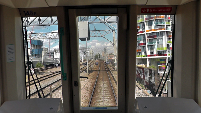
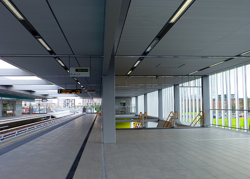
This was filmed in the afternoon on an eastbound train that is travelling towards Stratford.
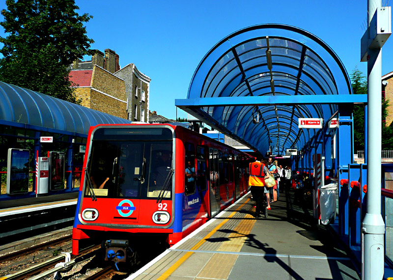
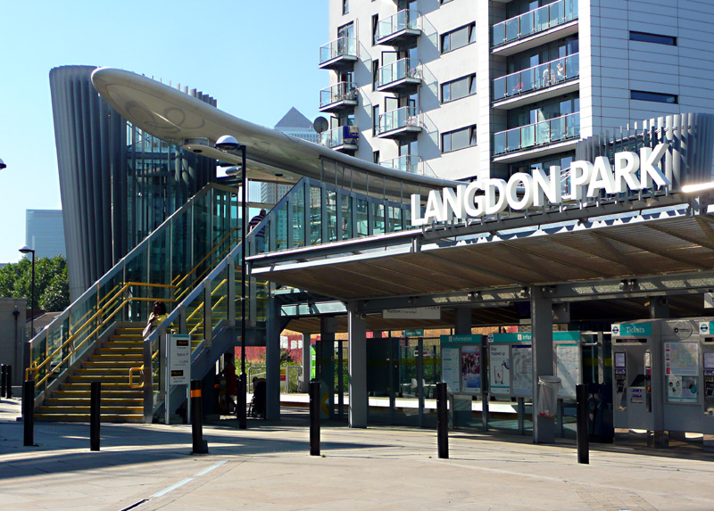
Some of these shelters come from stations that were later rebuilt
The Docks:
This section of the DLR is on new-build elevated viaduct. It extends from West India Quay to Crossharbour stations, twisting and turning through the former docklands area on the River Thames
peninsular known as The Isle Of Dogs.
Canary Wharf is the flagship DLR station and it has six platforms - the most of any station solely served by DLR trains. However ... it only has three tracks. This is possible because it uses what is called The Spanish Solution whereby all tracks have two platforms (one each side) and all trains open their doors on both sides. In terms of physical platforms there are four - two double-sided island platforms and two side platforms. If station platforms were counted the American way (based on tracks which pass through the station) then this station only has three platforms.
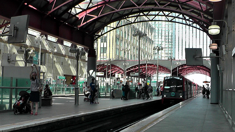 |
|
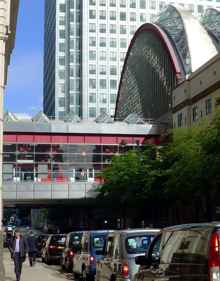 |
|
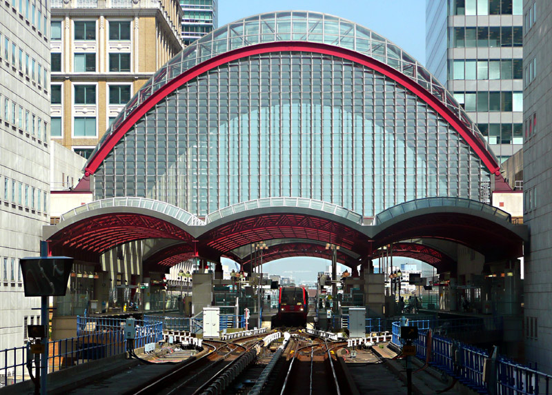 |
middle: one of the streets which passes below it and
right: the back of a southbound train which has just departed from this station.
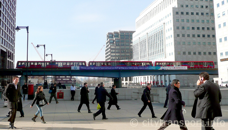
The DLR has expanded very considerably from the early days when it used single-unit trains.
The viaduct signage promotes the introduction of triple-unit trains.
Heron Quays and Canary Wharf stations.
Out of sight behind me is the Jubilee line Canary Wharf station.
This photograph looks west towards Middle Dock, in the background a DLR train is travelling between Heron Quays and Canary Wharf stations.
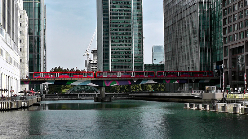
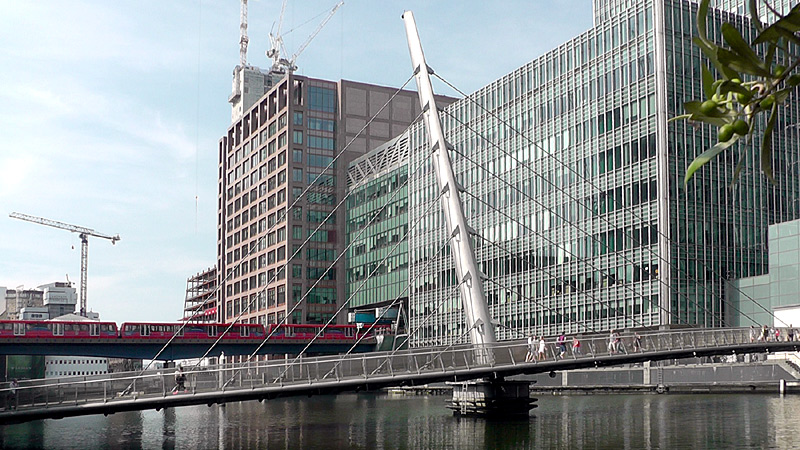
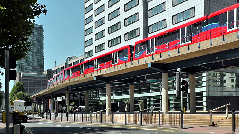
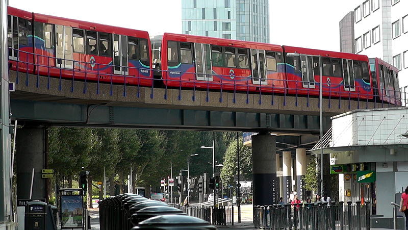
Crossharbour - Island Gardens re-uses the route of the 1870s Millwall extension of the London and Blackwall Railway. This included a single-track brich arch viaduct through Millwall Park plus an elevated twin-track terminus at Island Gardens. However the DLR's Lewisham extension required the DLR trains to pass below the River Thames via some deep-level tube-train tunnels and therefore Mudchute station was re-sited and the elevated Island Gardens station was replaced with a new underground station.
Whilst the disused brick arch viaduct remains extant the original Island Gardens station has been demolished and replaced with a non-railway building.
| DLR Branch Lines 2: The Extensions |
The Beckton Branch:
The first extension to the DLR was the Beckton route between Poplar and Beckton.
This passes through semi-derelict industrial and residential areas which are (v-e-r-y) slowly being regenerated.
Royal Victoria station is very close to the Emirates Airline Cable car station.
Custom House station was almost completely rebuilt as part of the construction of the Elizabeth line and by being next to the ExCel Exhibition centre it has become very busy. ExCel has many exhibition halls and the building is so long that it extends all the way to Prince Regent station - which is usually less crowded than Custom House.
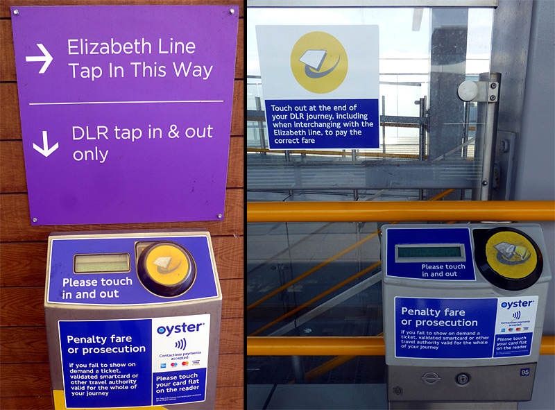
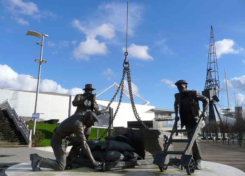
Close to the ExCel Exhibition Centre is a sculpture by Les Johnson / Bronze Age Foundry in tribute to the communities of the Royal Docks and the men who worked there between 1885 and 1983. Built in 2009,
the sculpture was funded by a charitable appeal supported by the Royal Docks (London) Trust who have a webpage at this link
http://www.royaldockstrust.org.uk/ . The sculpture can be a challenge to
photograph, especially on sunny days when shadows and the direction of the sun can get in the way.
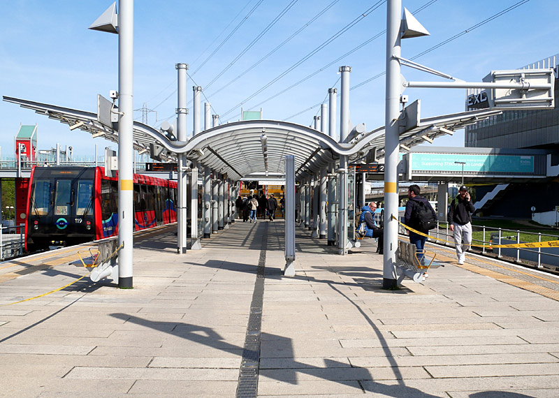
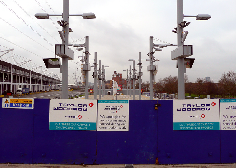
Originally built for two-unit DLR trains the platforms were later extended for three-unit trains.
This station is located at the far end of the Excel Exhibition Centre and as it is usually less busy it is often a better choice than
Custom House station - especially when going home afterwards as there is a greater chance of finding empty seats on the train.
One very unusual (for the UK) feature of the Beckton branch is that part of it was built as a combined road and rail project. This was only possible because it was built by a government-sponsored development agency which had been made exempt from the governments' usual financial criteria for railway investment. These financial criteria were so onerous (in other words heavily biased against rail-bourne public transport investment) that it was usually impossible to build road and rail (or road and light rail / tramway) as one financial package.
This was despite it often being financially advantageous to build road and rail as one financial package.
Beckton Park and Cyprus stations are located below traffic roundabouts but the section of railway between them is in the median of a dual carriageway.
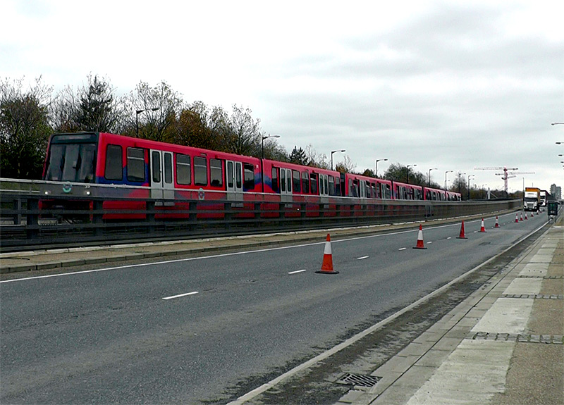
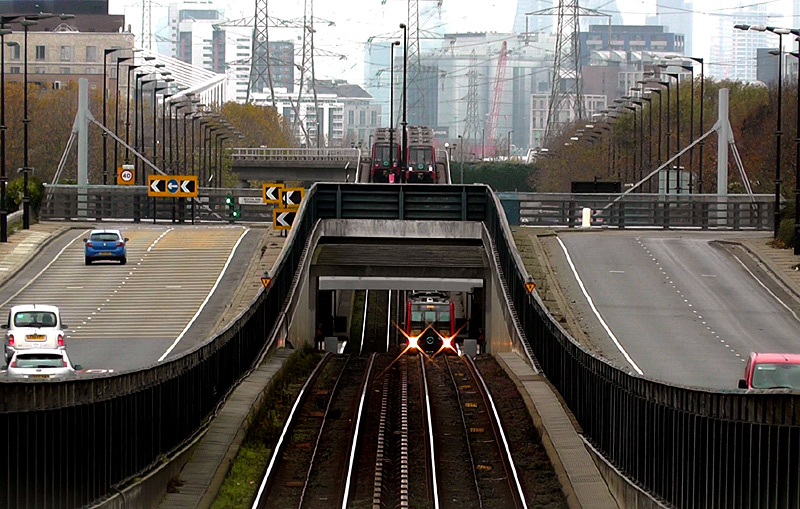
rises up to travel alongside the road traffic.
An eastbound DLR train is calling at Beckton Park and behind it can be seen two passing trains. One of the eastbound trains might be travelling to Beckton depot, and not carrying passengers.
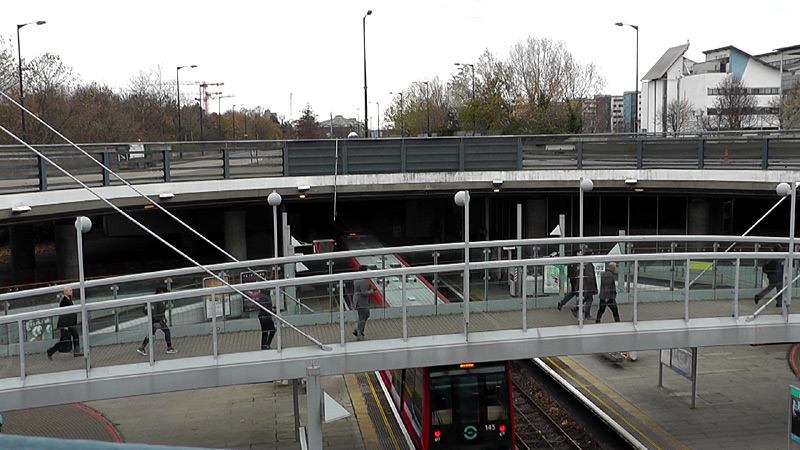
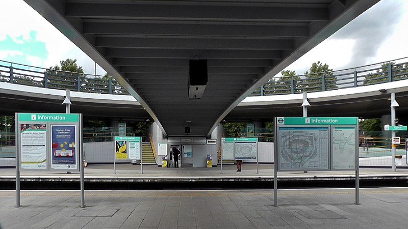
After the tunnels below roads the DLR rises to an elevated viaduct that partially encircles a busy traffic roundabout .... after the elevated Gallions Reach station the line ends at a twin track / island platform terminus at Beckton. This is close to a large food etc., supermarket and regional bus station.
The Lewisham Branch:
This was so that the trains could access the two single-track 'tube-train' style tunnels below the River Thames.
Also wholly underground is the brand-new Cutty Sark station which is located in Maritime Greenwich.
When Cutty Sark station was built the DLR only used two-unit trains and when longer trains were introduced it was realised that lengthening the platforms would cause very significant disruption - plus be very expensive - and therefore it was decided to not do this.
Cutty Sark station has short platforms and on triple-unit B07 and all B23 trains some doors are in the tunnel - so they do not open.
Passengers at the train ends must walk through the inside the train to the nearest doors which have opened.

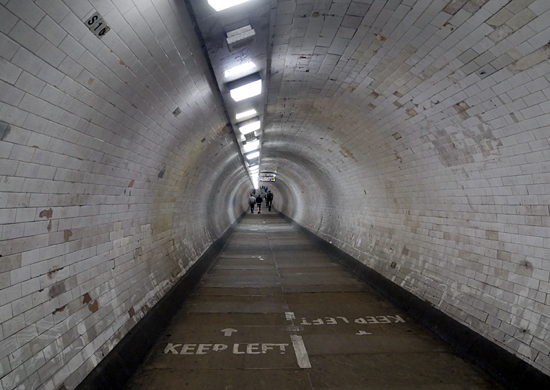
These views were taken at the southern entrance with the River Thames behind the entrance and the Docklands Financial District visible in the distance.
The foot tunnel entrances include a spiral staircase and a lift (which only sometimes works). Cycling is prohibited ... but is also common.
The Greenwich foot tunnel is near to Island Gardens and Cutty Sark DLR stations. This marvel of Victorian engineering was built so that people who live in this part of south London could reach jobs in the docklands area without having to use the expensive and unreliable ferry boat. It opened in 1902 and is free to use.
The southern entrance is very close to the Cutty Sark historic visitor attraction (a preserved 1869 tea clipper / ship) and also near to the historic centre of Maritime Greenwich, the Greenwich Observatory and more.
On hot summer days what is said to be a 10 minute walk through the tunnel offers a cool refuge from the ferocious summer sun - and in the winter a dry milder refuge from the often windswept bitter cold.
Note: During the time of this page update (November 2025) Cutty Sark DLR station is closed whilst new escalators are installed, passengers coming here will have to choose between using Island Gardens or Greenwich stations - and walking the rest of the way - or catching a waterbus to the nearby Greenwich Pier!
More information about the Greenwich Foot Tunnel can be found at these links:
http://www.royalgreenwich.gov.uk/directory_record/2013/greenwich_foot_tunnel .
http://www.tripadvisor.co.uk/Attraction_Review-g186338-d1821177-Reviews-Greenwich_Foot_Tunnel-London_England.html .
The DLR's tunnels end just at the northern end of the historic Greenwich station. This is one of London's oldest railway stations - it opened in 1834!
Greenwich station originally had four tracks - the two outside tracks were alongside platforms and two centre tracks which did not have platforms. The centre tracks ended up disused and were later removed, and for the coming of the DLR the station was reconfigured to create platform space for DLR trains within the existing station envelope.
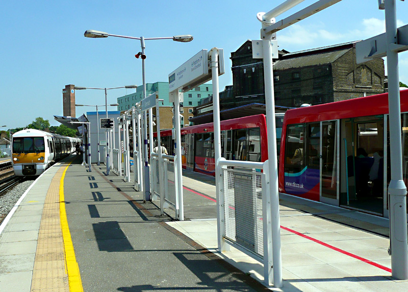
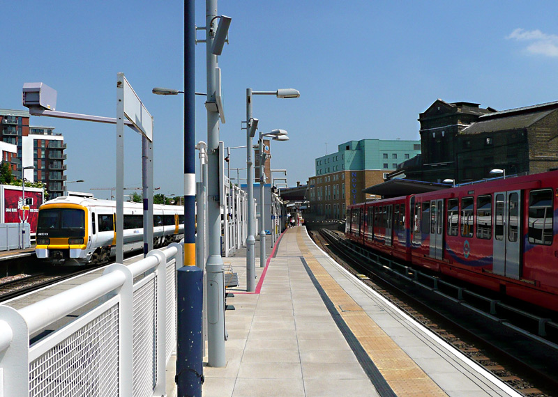
cross-platform interchange. However passengers changing trains travelling in the opposite direction will need to use steps.
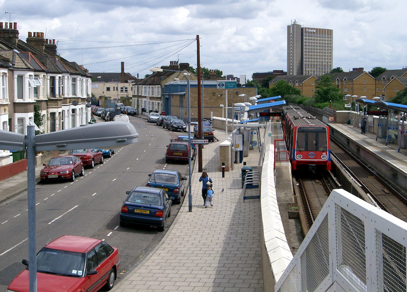
The bridge side walling includes painted sheet metal with many small holes which allow people crossing the bridge to see the station but not to throw anything down on top of the tracks / trains.
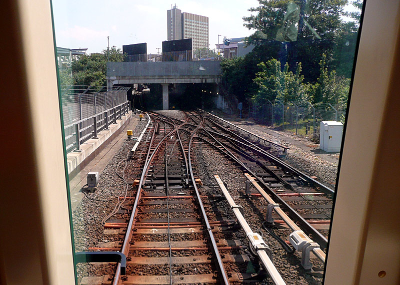
The Woolwich Arsenal Branch:
The route to Woolwich Arsenal passes below the Emirates Airline Cable car and includes a station for London City Airport.
Between Canning Town and West Silvertown stations the line is mostly at grade. Then the line switches to elevated viaducts and passes through semi-derelict industrial and residential areas which are very slowly being regenerated. Between London City Airport and King George V stations the line returns to being at grade. Most of the route between King George V and Woolwich Arsenal station scomprises two single-track 'tube-train' style tunnels below the River Thames.
Although serving different parts of the Docklands, for part of the way the Beckton and Woolwich Arsenal two branches are within eyesight of each other so that it is possible to see and photograph 'trains in the distance'.
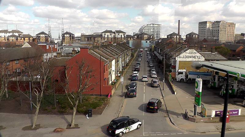
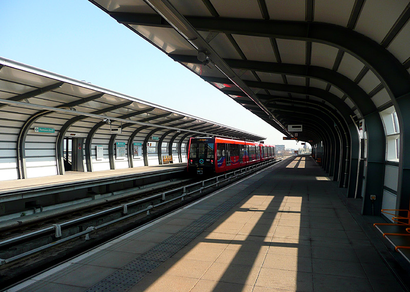
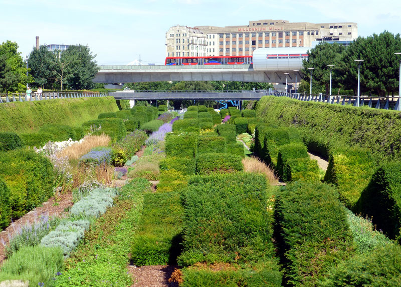
The Thames Barrier Park is free to enter. Its facilities include: the unique sunken garden seen in the image above-right, pleasant lawned areas to sit on, a childrens' playground, a small café and free toilets - which are very cramped and perhaps more suited to smaller people! NB: because of vandalism the toilets are only open when the café is open.
More information about the Thames Barrier Park can be found at these links: (the first link also includes a second foot tunnel in Woolwich)
http://www.gardenvisit.com/garden/thames_barrier_park .
http://www.tripadvisor.co.uk/Attraction_Review-g186338-d1826194-Reviews-Thames_Barrier_Park-London_England.html .
Note that on the other (south) side of the River Thames there is also a Thames Barrier visitor centre, however this is only open 4 days a week, charges an entry fee and is in an industrial area that is a walk or bus ride from a railway station.
http://www.daysoutguide.co.uk/thames-barrier-information-centre .
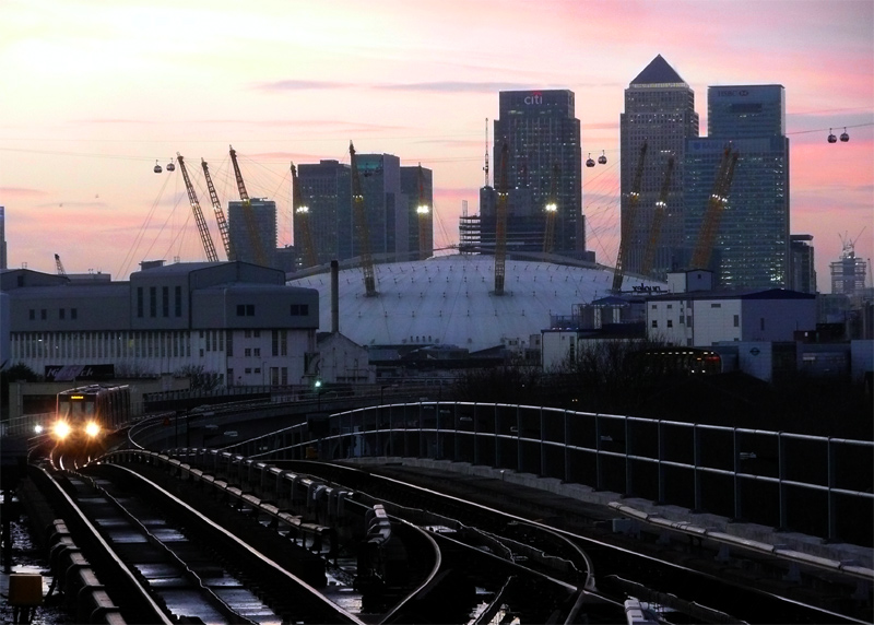
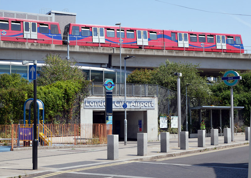
This image shows the Drew Road exit, which serves the local community.
Previously local residents used the nearby Silvertown station but it was not reopened when the Elizabeth line was built.
The platforms at Woolwich Arsenal station are just below ground level. The station building is almost next to a main line station with the same name and there is a direct connection between the two rail system within the same 'fares paid' area. A few minutes walk away is the Elizabeth line Woolwich station.
Stratford International Branch:
The Stratford International branch is the most recent part of the DLR to have been opened.Stratford International station is brand new.
The tunnel between Stratford International and Stratford is artificial - it is actually 'at grade' and was covered over as part of the works for the London 2012 Olympic / Paralympic Games and Westfield shopping centre.
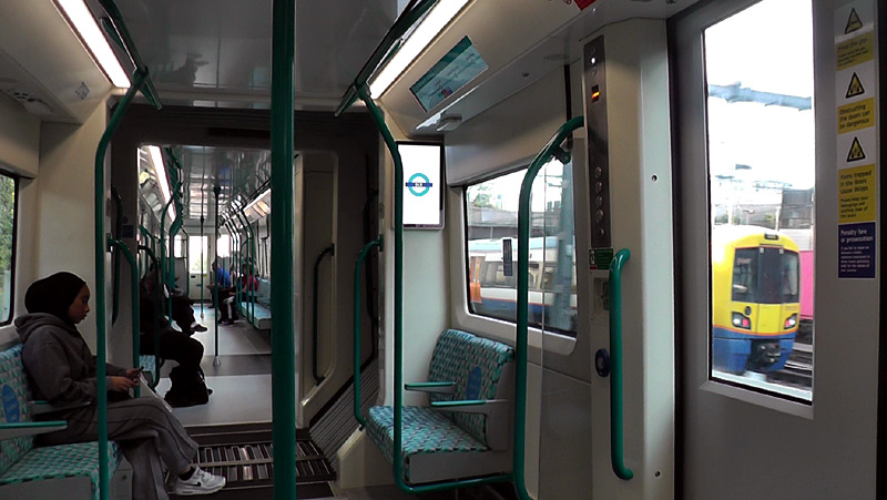
London Overground North London (Mildmay) line Class 378 train as seen whilst travelling between Stratford International station and the tunnel.
Sometimes freight trains (especially container trains) are also seen when passing by this location.
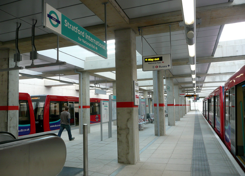
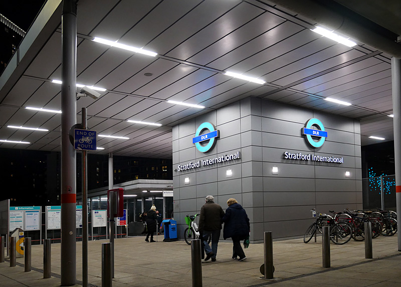
SouthEastern Javelin trains from London St. Pancras station which travel on HS1 (High Speed 1). The view on the right was filmed at night.
More information and photographs about the Stratford International branch can be found in the shared service routes section of this web page - this also includes a separate
dedicated feature about Canning Town station ...
West Ham and Stratford stations are also looked at in greater detail in the section of this page which looks at busier stations in zones 1-4 where there is a wider variety of trains to see.
Will there be more DLR extensions??
More extensions have often been talked about but until funds have been allocated and work actually commences what can be seen as mere proposals are meaningless.
It is likely however that the DLR will be extended
from the Beckton area to a new station in Thamesmead, which is a relatively modern residential area on the southern side of the River Thames. Thamesmead should have had a rail connection when it was built but this did not
happen and this has seriously disadvantaged local residents.
| Croydon / London Tramlink |
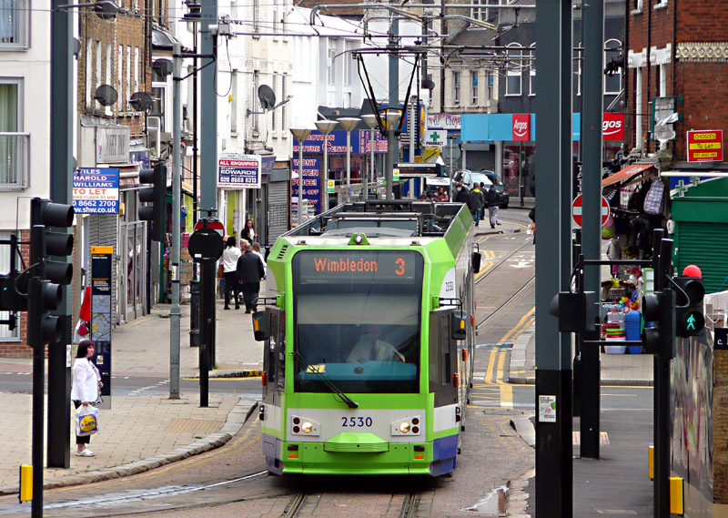
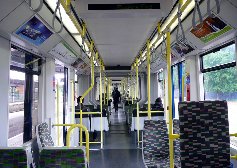
Bombardier Flexity Swift CR4000 two-section articulated low floor trams (above left, seen leaving Church Street tram stop)
Stadler Rail Variobahn five-section multi-articulated trams (below left seen at Reeves Corner tram stop).
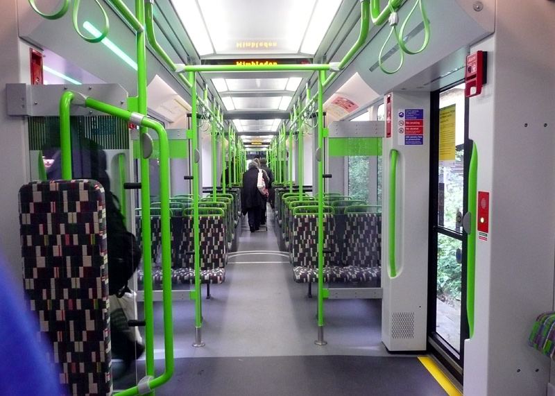
| General Information |
Centred on the large suburban town of Croydon, London's first Tramlink system travels through the streets in the town centre and then splits into several branches - all of which are 'off street' / on private rights of way and include sections of new-build tramway and former railway line. In Croydon town centre much of the track is in the form of a uni-directional loop which trams follow in a clockwise direction.
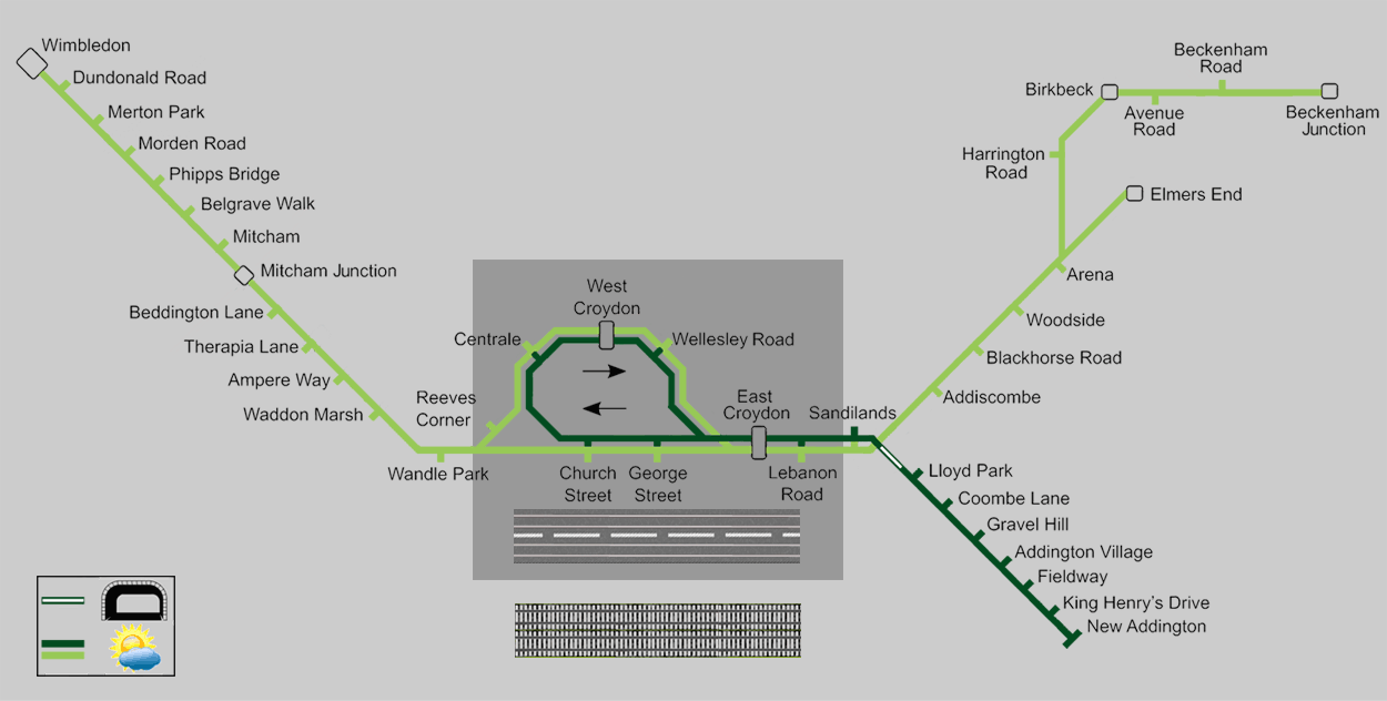
Tramlink route map showing the basic Monday - Saturday service.
On early mornings, late evenings, Sundays and Bank Holidays the service pattern might be different.
Map modified by me, original source & license: Metrophil44 / Wikipedia encyclopædia CC BY-SA 4.0 https://commons.wikimedia.org/wiki/File:Tramlink_map_2016.png
Click map to see larger version in a new window!
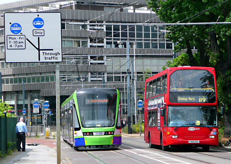


that is separate from road traffic.
Bombardier 2551 is approaching Arena tram stop.
Getting To Croydon:
The fastest trains from Central London to Croydon travel to East Croydon station from (depending on route) London Victoria station (via Clapham Junction) or Farringdon station (via London Bridge / Blackfriars stations).
Typically southbound trains will be heading for the south coast (Brighton, Eastbourne, Southampton, etc) or Horsham and also calling at Gatwick Airport. Slower ('all stations') trains also exist,
although some of these go to West Croydon station - this category includes the East London / Windrush line Overground trains that travel via Whitechapel and New Cross Gate.
Other routes to Croydon are via the tram / train interchange stations in south London. Mitcham Junction can be reached on (some) Thameslink trains from Farringdon; Beckenham Junction can be reached by (some) trains from London Victoria station, Elmers End can be reached by (some) trains from Charing Cross and Cannon Street stations, or by travelling on the Docklands Light Railway to Lewisham station and catching a train going to Hayes. Wimbledon can be reached by trains from London Waterloo and Clapham Junction stations plus the London Underground District line.
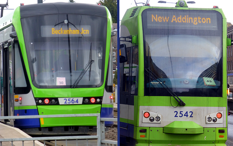
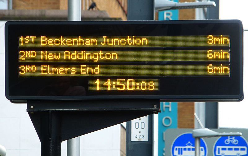
This view dates from March 2018.
at Wellesley Road tram stop.
| For Tourists / Visitors to London |
For tourists a route which allows combining many different types of train in one day would be to take the DLR to Lewisham, a SouthEastern train (destination: Hayes) as far as Elmers End and then the tram. (If you are paying fares using in 'PAYG' mode remember to 'touch-in' at the tram card reader on the tram platform; this will automatically end your railway journey and charge you a tram fare. It is important that you use the correct Oyster card reader - as otherwise you will be travelling on the tram without having paid a fare).
To return to Central London travel on the tram to Wimbledon, where there is a wide choice of frequent trains back to Central London. (When changing from tram to train remember to 'touch-in' on a train Oyster card reader on platforms 1 - 4 or 9 before boarding the train; this applies to all trains from all railway operators).
Despite what the transport officials may say, life really is simpler with a paper 'One Day' Travelcard, as then you do not need to worry about touching in / out, failed card reads and the risk of being overcharged.
Ticketing options are also explored further down this page.

coexist peaceably - see text below for more information.
| Street Tramway |
The street tramway part of the system starts on the Croydon side of Sandilands tram stop and extends over the full town centre loop plus a small distance on the Wimbledon route as far as the bridge (called Wandle Flyover) over the railway.
Part of the route between Sandilands and East Croydon tram stops is a local transport only corridor used by trams, buses and other local traffic. The street is called Addiscombe Road and this includes Lebanon Road tram stop.
The town centre loop is single track and mostly restricted to either to 'trams only' or trams and vehicles which need to deliver goods to local shops. Some of the loop is also pedestrianised. At some tram stops (eg: Wellesley Road) the passenger waiting area is also the public footpath which is used by pedestrians who are not travelling on the trams.
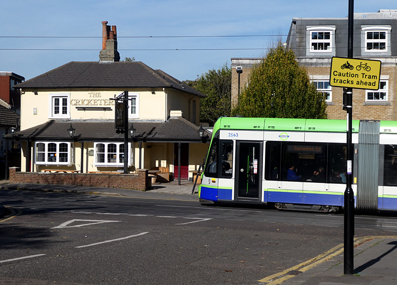
Addiscombe Road and Stadler 2563 as seen from Park Hill Rise. Also seen here is a pub called The Cricketers with outside seating where customers can watch the passing trams and buses. This location is a short walk from Lebanon Road tram stop. |
|
 Road sign on Addiscoombe Road for traffic approaching the local transport only restricted traffic corridor near to Croydon town centre. |
|
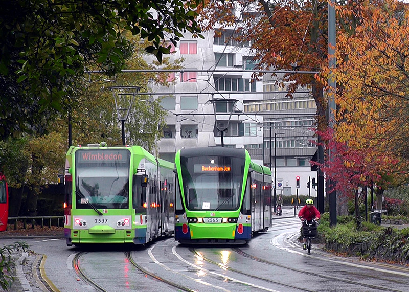
On an autumnal day a bus (seen on the far left edge) waits for Bombardier 2537 and Stadler 2565 to pass each other so that it can enter the section of Addiscombe Road that is close to the town centre and is a local transport only restricted traffic corridor. |
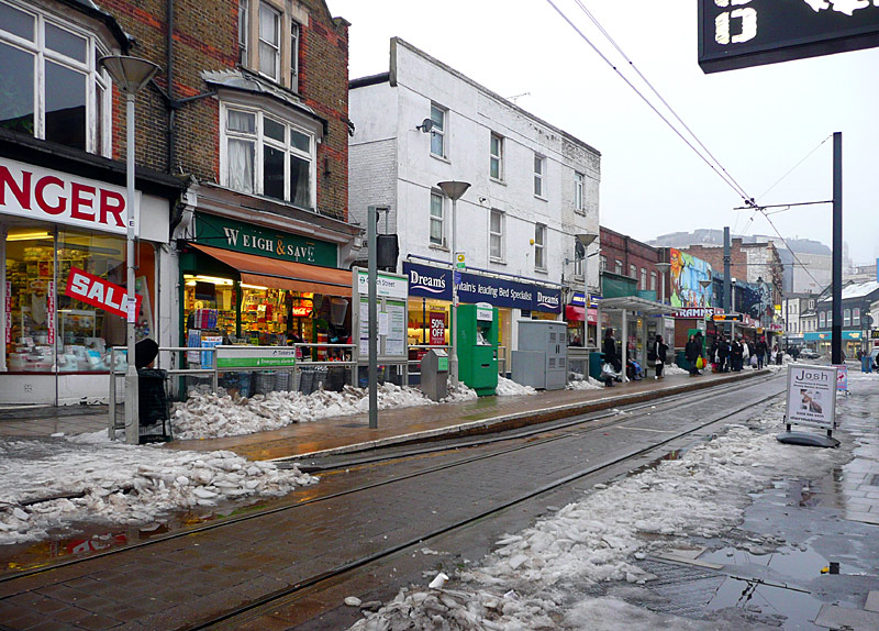
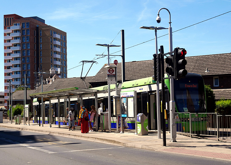
This wintry scene was photographed on a snowy day in February.
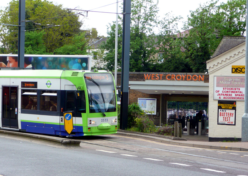
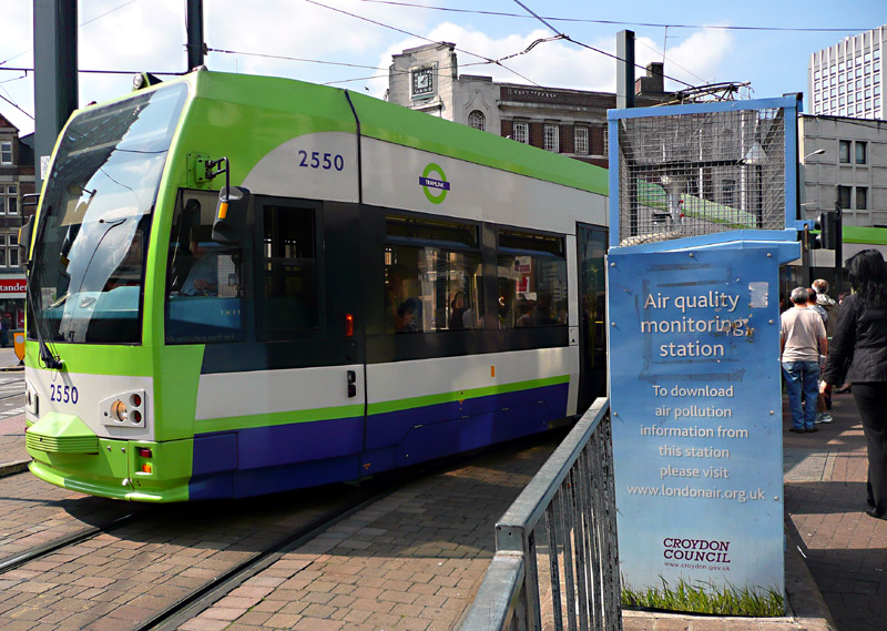
the urban environment.
Bombardier 2550 passes an air pollution monitoring facility.

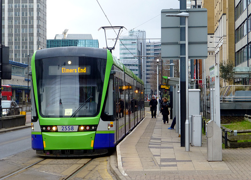
another of the tram stops located along the town centre loop.
It is also one of the kerbside tram stops where the
'platform' is part of the footpath that is used by people
who are not travelling by tram.
| Special Tram Traffic Signals |
To avoid confusing other road users Tramlink uses the British standard 'white dot' signals.
At some locations only four lamps illuminate for the 'stop' function. The central lamp is used to advise the tram driver that the traffic signal control unit has noted the presence of the tram and has (or is about to) initiate a sequence for it.

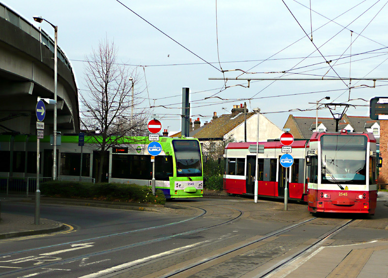
The animation correctly reflects that two trams turn right (towards Centrale) for every tram travelling 'ahead' (towards Wandle Park). The location is very close to the Church Street tram stop.
in a red and white livery similar to that used by the first generation tram system which closed in 1952.
This location is close to Reeves Corner tram stop.
Tram 2549 in the new livery had stopped to wait for tram 2545 to cross the single track Wandle flyover.
| Light Rail - Regional Branch Lines |
Away from Croydon Town centre there are three branches (one of which splits into two) which are almost fully segregated from road traffic. These operate as light railways which offer passengers all the benefits that come with having exclusive use of their own private rights of way, including freedom from delays caused by traffic congestion and hence, more reliable journey durations.
The light railway portions of Tramlink are almost fully unsignaled - instead the trams are driven on the 'line of sight' principle. However, for safety there are signals at road crossings, to control access to the few bi-directional single track sections of light railway, where routes diverge / merge and a few other places.
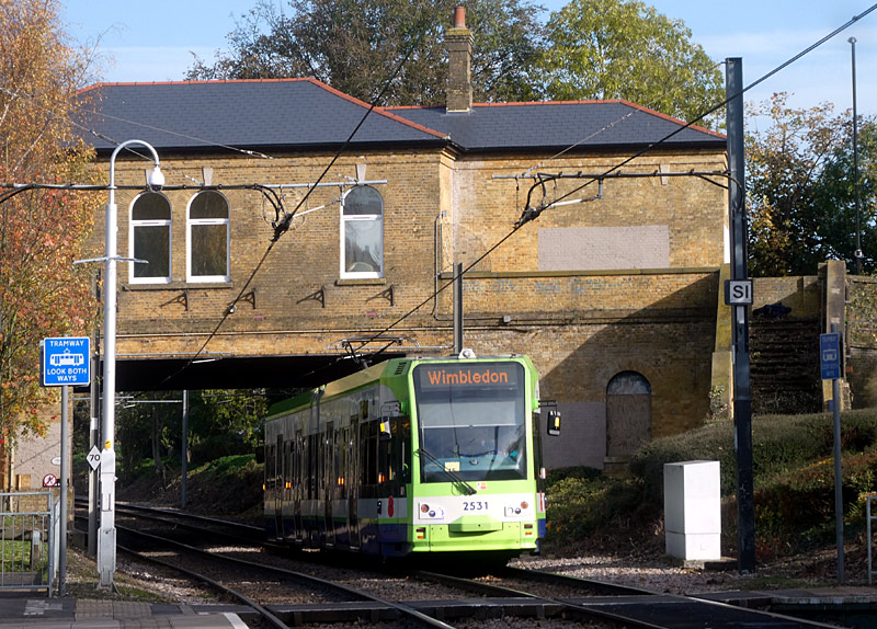

railway station building as it arrives at Woodside tram stop.
The upper signal advises tram drivers whether to 'stop' or 'go' whilst the lower signal tells them which route has been set, ie: left towards Beckenham Junction or continue ahead towards Elmers End.
The animation is of course 'speeded-up' - what are seen here as 10 second periods of apparent inactivity represents 5 - 10 minutes.
This image (along with another Tramlink signal animation) can be found on the citytransport.info website at this link:
Road Junctions, Level Crossings And Traffic Signal Priority
.Elmers End:
Most of the route from Sandilands to Elmers End is a former railway, although it has been heavily rebuilt with a former one-stop main line railway branch line (to Addiscombe) being closed and the former
railway stations now being barely recognisable as such. Apart from road crossings good places for lineside views are in the area around Arena tram stop, which includes the South Norwood Country Park.
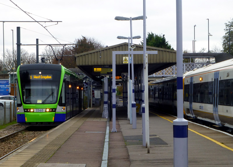
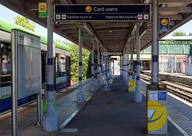
Left: Stadler 2560 in the single terminus platform and an unidentified northbound (towards London) SouthEastern train.
Right: Ticketing information, the different card readers for trams and trains, etc.
Beckenham Junction:
On the Beckenham Junction route much of the section beyond Birkbeck is alongside a little used 3rd rail electric railway branch, both railway and tramway are bi-directional single track and the trams have some passing loops
as well. One of the passing loops is at Avenue Road tram stop, which is next to a bridge over the tracks where - if you are fortunate - you will be able to film a tram and a train in the same view (alas, my attempt was not
successful, hence the composite photographic view).
Important: Because of main line trains and their third rail electric power supply system there is a very strict prohibition against walking anywhere near the track. This is for safety reasons. Anyone who is foolish enough to contravene this regulation and manages to avoid being killed by either electrocution or being hit by a passing train, and is caught by the police, can expect to be prosecuted for trespassing on the railway.
Just outside Beckenham Junction station the single track tramway passes very close to the railway station and sometimes it is possible to see a tram and a train at the same time. It is also 'just about' possible to see and photograph a tram and a train at the same time when there are trams at the tram stop.
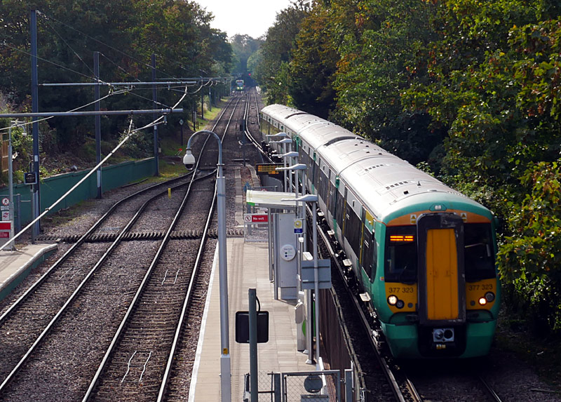
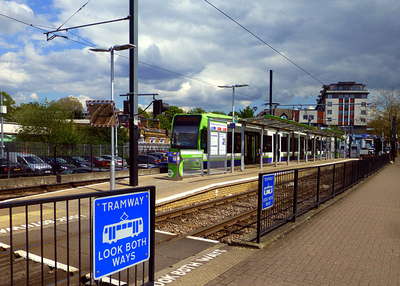
Both tramway and railway have their own bi-directional single tracks.
This view was taken from the footbridge next to Avenue Road tram stop. In the distance it is possible to see a Bombardier tram calling at Birkbeck Road station left plus the National Rail platform right
The brick building in the distance to the left of the tram is the railway station and behind the trees / at the left edge of the image can be seen a small part of a train (it is green with a black roof).
New Addington:
Apart from the tunnels midway between Sandilands and Lloyd Park tram stops, the New Addington route is entirely brand new and includes some very pleasant rides through woodland. It is often possible to observe / photograph passing trams from
a parallel road and from the many road and foot crossings across the track. One of several good places to watch passing trams from the trackside is the area around Coombe Lane tram stop. I've done this several times, and also walked deep
into the woodland areas and enjoyed what is more akin to a remote countryside walk than being in a big city.
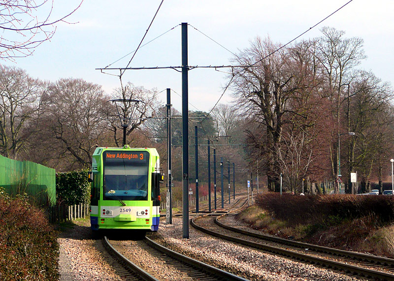
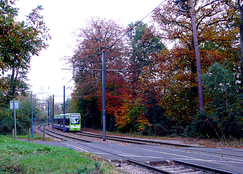
departed from Lloyd Park tram stop and now commences travelling though the woodland portion of its journey to New Addington.
The narrow road and footpath which cross the tracks lead into the woods (left) and to the road called Coombe Lane (right).
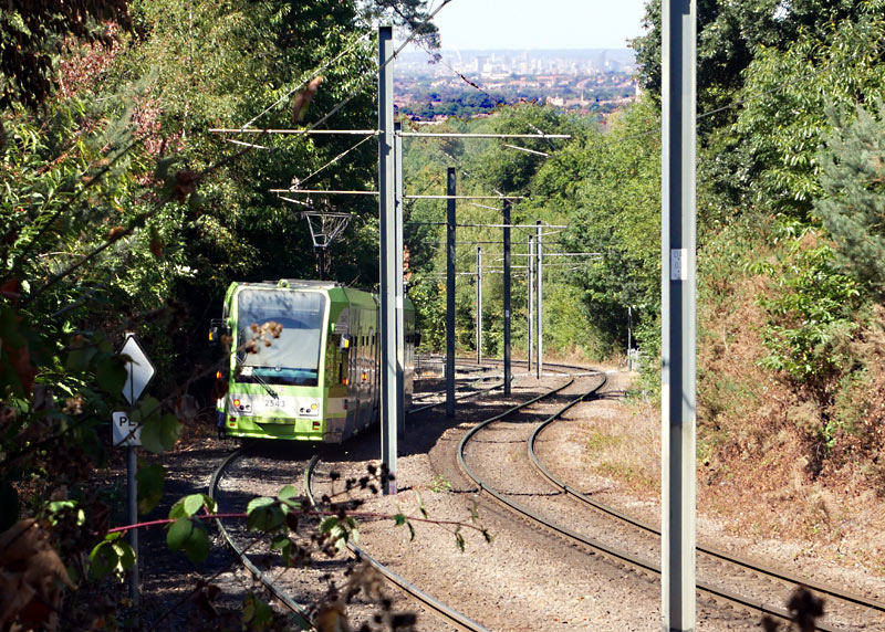

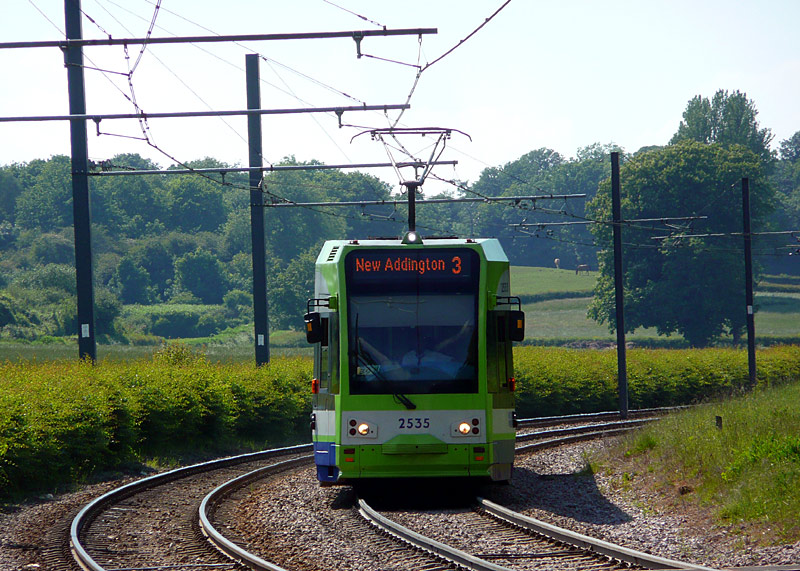
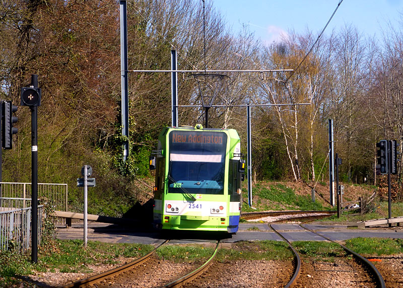
in high summer - as seen from Gravel Hill tram stop.
level crossing over the dual carriageway road named Gravel Hill.
Behind me is Gravel Hill tram stop.
Beyond Addington Village tram stop & bus interchange the trams travel alongside Lodge Lane. Just before reaching King Henry's Drive tram stop the light railway passes through the middle of a roundabout and close to the New Addington terminus there is also a small single track section where the line pass around a building which was there before the light railway was built.
In some European countries at least part the New Addington route would have featured 'lawn' track which blends in harmoniously with the local area; as I understand it this was not done on Tramlink because the people who built Tramlink had no previous experience of building light railway tracks which included lawn track. However what this also means is that it is relatively easy to follow the route of the tracks if using online satellite imagery services - such as Google or Bing maps.
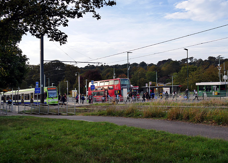
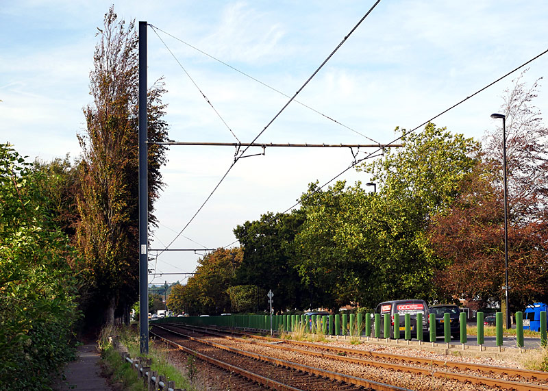
The purpose of the green wands between the tramway and the road is to block the glare of each others' headlights during the hours of darkness.
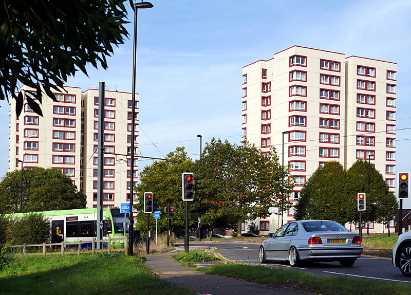

Both photographs show the trams at exactly the same location but were photographed from very different points of view.
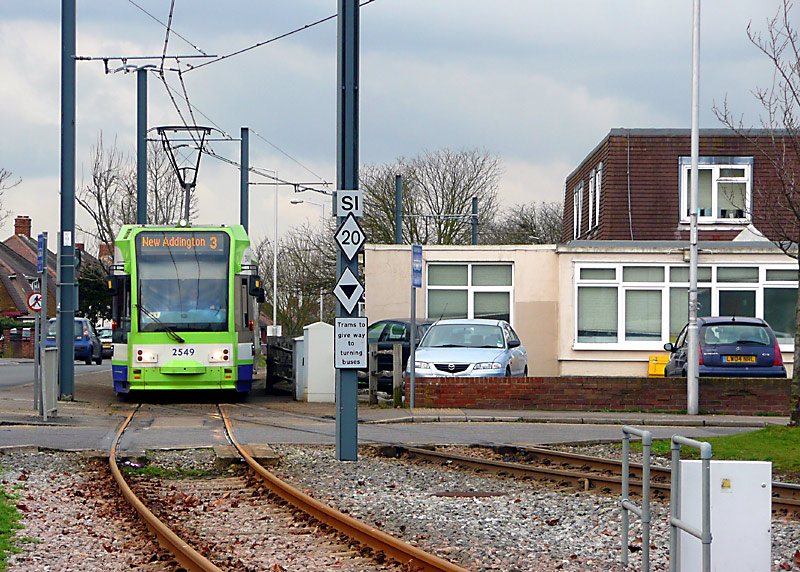

The tracks on this side of the single track section lead directly to either side of the island platform at New Addington tram stop.
The fares information on the back of the real-time information display is now out of date - cash fares no longer exist and smartcard fares are higher than shown.
Wimbledon:
The Wimbledon route is another former main line railway route. In British Railways days it was served a train that ran every 44 minutes, which for a heavily populated suburban area was a very unattractive service infrequency.
The route between Croydon and Wimbledon includes both single and double track sections, plus (just west of Mitcham tram stop) some interlaced / gauntlet track.
When planning the Tramlink network it was decided that it would be best if the conversion of the Wimbledon - West Croydon railway route included fully segregating the trams from the trains. This was achieved by means of bi-directional single track flyovers at two locations (see photographs below.)
Some good places to watch / photograph trams are between Ampere Way and Wandle Park. Also, at / near some of the tram stops. Being a former railway many sections of the route are not accessible, and it is also worth remembering that with trams travelling at speeds of up to 50mph (80km/h) it is often not safe for people to be too near the tracks.
Ampere Way serves a retail park, including a large IKEA home furnishings (etc.,) shop.
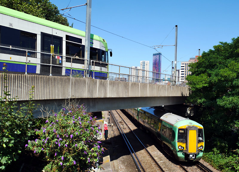
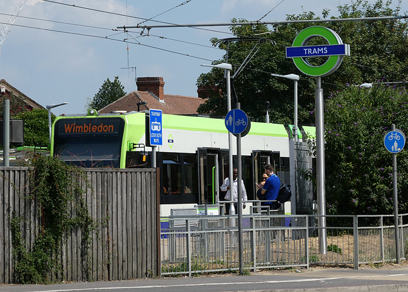
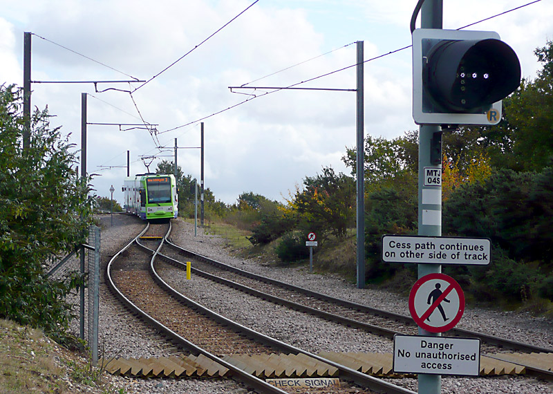
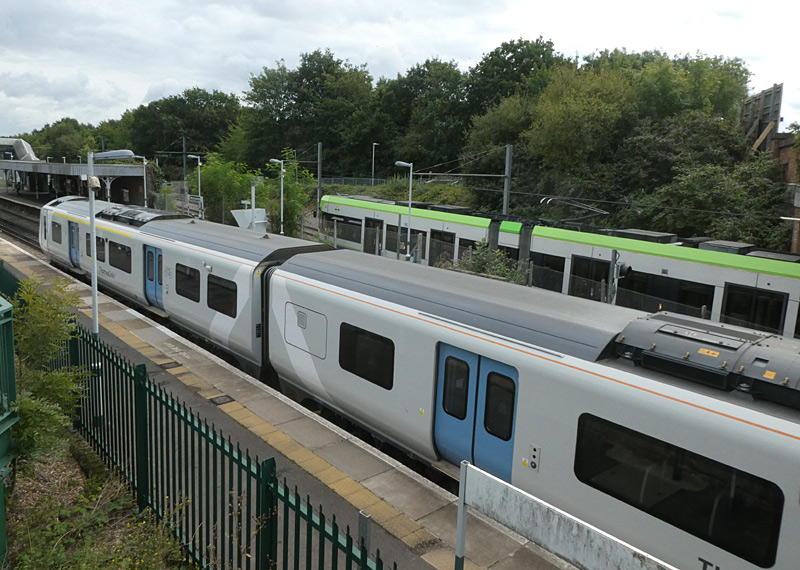
The tramway is also single track on the Wimbledon side of this station - this is to pass below a bridge that is not wide enough for two tram lines - instead of rebuilding the bridge.
This station is also served by other types of train which are operated by Southern.
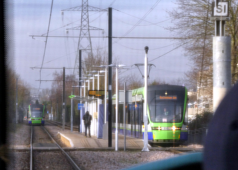
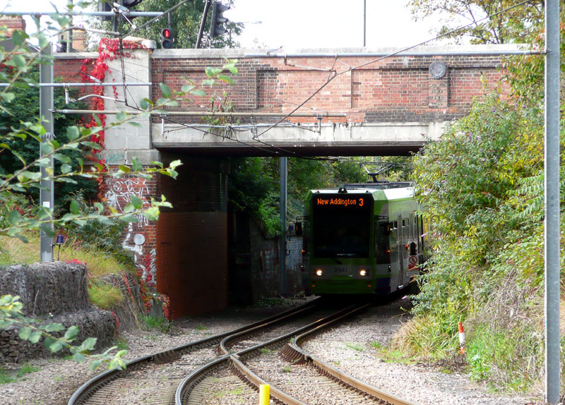
This is near Mitcham tram stop.
Bombardier 2541 is travelling from Wimbledon
to New Addington via Croydon town centre.
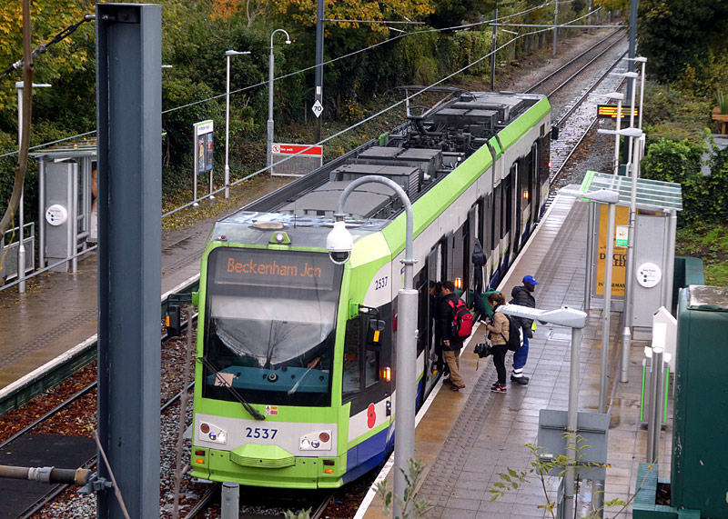
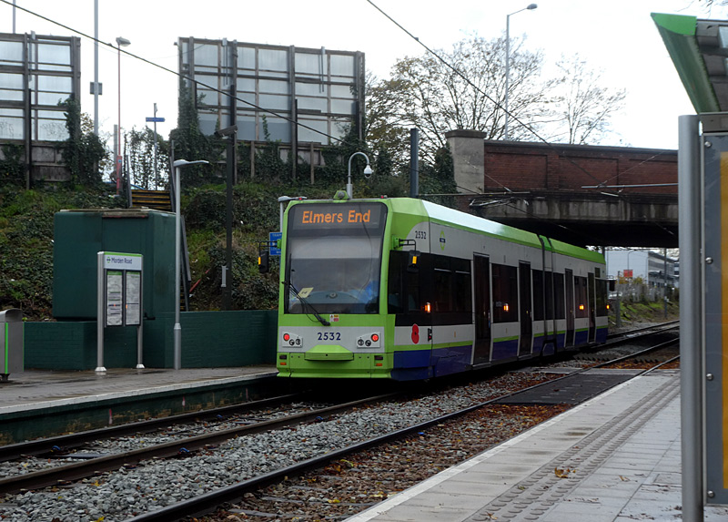
looking down from Morden Road (and Bombardier 2537) (left) and a platform view looking towards Morden Road (and Bombardier 2532) (right).
| Tramlink Ticketing |
Although the two main railway stations in Croydon are in zone 5 the entire Tramlink system is a special fares zone and any prepaid Travelcard season ticket which is valid in zones 3, 4, 5 or 6 can be used on the trams. Travelcards for just zones 1 and 2 are NOT accepted on the trams.
If you only wish to travel on the trams (and perhaps buses as well - but NOT trains) then using Oyster / Contactless bank cards / other compatible electronic payment devices in 'pay as you go' (PAYG) mode represents the cheapest way to pay fares.
Tram passengers who do not have Oyster cards and do not want to use other types of Contactless ticketing can also buy one-day Bus & Tram passes. Although more expensive than the daily fares cap these are ideal for passengers who are only in London for a day or two, who do not wish to use the railways and who want a physical souvenir of their visit. One Day Bus & Tram Passes can only be bought on the day of travel and are valid from 00:01 am and for any journey that starts before 04:30 am the next day.
Since March 2025 One Day Bus & Tram passes can only be bought in the form of special Oyster smart cards which are sold at local retail shops (Oyster Ticket Stops newsagents, etc.,) and at Visitor Centres. These are single-use smart cards which cannot be used for anything else. (The printed paper versions which used to be sold at many railway station ticket machines have been withdrawn.)
Tram passengers pay the same flat fare as bus passengers, and passengers with smartphone apps, Contactless and Oyster cards should use the card readers on the tram stop platforms before boarding the tram. However, you must NOT use a card reader to 'touch-out' at the end of the journey.
Special rules apply at Elmers End and Wimbledon stations where the trams stop inside the railway stations' fares paid areas. See below.
To ensure that the correct fares are charged by the ticketing system ALL Passengers travelling TO Wimbledon station who are using smart card / Contactless device ticketing, no matter what type - ie: even if it is a Travelcard season ticket on an Oyster card or an Oyster card Bus And Tram Pass - are supposed to 'touch-in' before boarding the tram.
Hopper Fares:
Passengers interchanging between two trams (or a tram and a bus) benefit from the 60 minute Hopper system which allows additional tram (or bus) journeys to be started within 60 minutes of touching-in
for the first journey. You must still 'touch-in' at the start of the free journey(s), but you will not be charged anything! Note that once you have 'touched-in' you can still complete that journey, even if it takes you over the 60 minute time limit.
Hopper Fares only apply to buses and trams but the 60 minute rule still applies - even if you travel by Underground / London Overground / other railway, etc., between your tram / bus journeys.
The genesis of the Hopper fare comes from when Tramlink first opened it included through tram / bus (certain bus routes only) ticketing in the Croydon area. In those days the time limit for a free subsequent
journey was 70 minutes.
When the free transfer system was expanded to all buses the official Hopper fares promotional information quoted a time period of an hour (ie: 60 minutes) - but to allow for clocks to be a little inaccurate
the system retained the 70 minute time limit. In 2021 this was reduced to 62 minutes, although promotional material still quotes an hour.
Fares Capping:
In addition to Hopper Fares tram passengers benefit from 'fares capping', which means that you will only be charged for any combination of tram and bus travel a maximum of three (3) times per day. In London daily fares
capping is based upon a 'touch-in' to start a journey after 04:30 am and a 'touch-in' to start a journey before 04:29 am the next day.
Note 1: Because an Oyster card which has a negative PAYG balance is then blocked it must be topped-up and the negative balance cleared before it will allow any free Hopper journeys.
Note 2: Free travel and fares capping only work when you use the same Oyster or other Contactless payment card (or device) at all times.
If you are staying in central London zone 1 for five days (or more) then a weekly / longer season ticket might be worthwhile - note however that these can only be used with ordinary Oyster cards - not Visitor Oystercards or any type of Contactless device.
If you are staying in suburban London for four days (or more) and do not need a ticket valid for Zone 1 then a weekly / longer season ticket might be worthwhile
Tramlink stops used to have ticket machines where passengers could buy tickets using cash. However these were withdrawn in July 2018.
There is a Tramlink information shop in George Street (near East Croydon railway station / on the other side of the road) which sells tickets and offers travel advice.
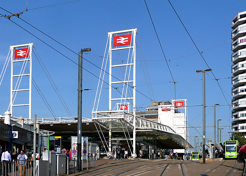
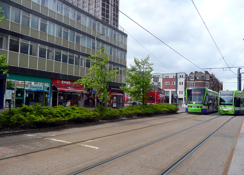
which has three platforms and is right outside East Croydon
railway station. This was filmed at about 4:30pm / 16:30.
The Cheapest Fares From Central London Zone 1:
The cheapest way to travel to Croydon from London Zone 1 is to travel via Wimbledon. This is because Wimbledon station is in Zone 3 and the maximum daily fare using pay-as-you-go (PAYG) ticketing on Oyster cards and Contactless
cards and devices is lower for zones 1 - 3. The cheapest single fares are on the District line, but if you are going to reach the daily fares cap it does not matter which railway service you use!
It is also possible to pay Zone 3 fares by travelling to Wimbledon by South Western Railway from London Waterloo station (and Southern from Victoria - but you must change to a South Western train at Clapham Junction). But it is important to be aware that main line / National Rail fares are often slightly higher than those charged the Underground. Be careful with the Thameslink trains that serve Wimbledon station as some of them travel via zones 4 and 5.
If you travel to Croydon via the train / tram interchanges at Mitcham Junction, Birkbeck, Beckenham Junction or Elmers End then you will travel in Zone 4.
East Croydon and West Croydon stations are in Zone 5.
If you buy one-day ride-at-will Zones 1-6 paper Travelcard tickets then you can travel via any route. Whilst these are the simplest tickets to use and afterwards make for nice souvenirs they are also the most expensive. Where available, Monday - Friday off-peak one-day Travelcards can be used after 9.30. For some zone combinations only the more expensive Daily Anytime one-day Travelcards are available (not off-peak). At weekends and bank / public holidays off-peak one-day Travelcards can be used all day.
BritRail / Eurail Passes:
Visitors who have BritRail / Eurail Passes can also use these to travel between central London and Croydon - they are valid on all National Rail routes in London - including the London Overground to West Croydon - but NOT to Wimbledon
via the District line. For travelling on Tramlink either use PAYG or buy a Bus And Tram Pass.
Fast Trains:
All types of London ticketing (Travelcards, PAYG, etc) can be used on the faster trains which only stop at a few stations (or even travel non-stop) between Croydon and central London: These travel via a few routes:
London Victoria and East Croydon
London Bridge and East or West Croydon (Different trains serve either one of the two Croydon stations).
Fast trains also travel between Clapham Junction and East Croydon.
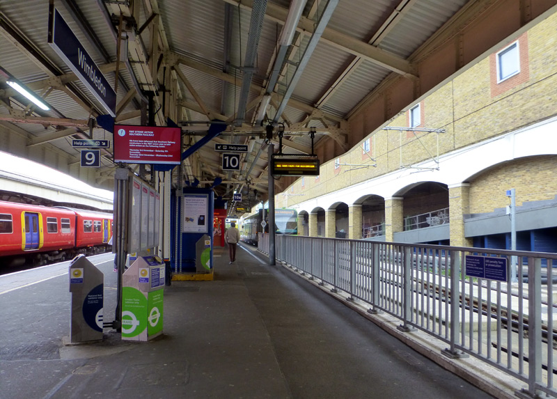
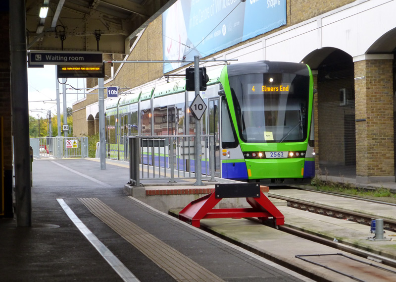
and an empty platform 10a.
* To reduce the risk of complications these rules should also be followed if you are using any type of smart card or other contactless device with a Day Anytime, Day Off-peak or 7 Day Anytime Travelcard
* If you arrive here by any of the train services and are planning to depart on the tram you must 'touch-in' using a TRAM card reader on tram platform No.10, this will end your train journey and charge you a tram fare. Otherwise you will end up being financially penalised for not 'touching-out' at the end of your train journey AND be travelling on the tram without having paid your fare.
* If you arrive here by tram and are continuing your journey by either the Underground or any National Rail (main line) train service then you must 'touch-in' on one of the railway card readers - ideally on Thameslink platform 9 which is next to the trams but you can also use a yellow card reader on District line platforms 1 - 4. Important: Only yellow card readers should be used at platforms 1-4, NOT pink card readers. Otherwise you will be travelling on the train without a valid ticket and when you 'touch-out' at your ultimate destination station you will be financially penalised.
* If you arrive here by train and are leaving the station then 'touch-out' as you exit the station in the normal way.
* If you arrive here by train and are leaving the station by a different train then you might benefit from a cheaper fare if you 'touch' your card on a pink card reader near platforms 1-4.
* Passengers who enter Wimbledon station from the street and are intending to travel on the train should 'touch-in' at the ticket gate in the normal way.
* Passengers who enter Wimbledon station from the street and are intending to travel on the tram must 'touch-in' at the ticket gate and then 'touch-in' again on one of the tram card readers located on tram platform No.10. Otherwise the system will treat you as if you are travelling by one of the other railways and you will be financially penalised.
* Whilst it is usually possible to reclaim the excess charges from the Oyster helpline the process is a hassle.
* If you are using paper One Day Travelcards or One Day Bus and Tram pass then you pass through the ticket gates in the normal way and then ignore all these ticketing complications!
* If you are using a One Day Bus and Tram pass then you must not travel on the trains - and if you are using a smart card or other contactless device remember to 'touch-in' again on one of the tram card readers located on tram platform No.10.
Special Information For Using Smart Card Ticketing (Oyster / Contactless / Other Device) In PAYG Mode At Elmers End Station
* To reduce the risk of complications these rules should also be followed if you are using any type of smartcard or other contactless device with a Day Anytime, Day Off-peak or 7 Day Anytime Travelcard
* Elmers End does not have electronic gates so life is a little easier.
* If you arrive here by tram and are leaving the station then do not use any card readers, do NOT 'touch-out'.
* If you arrive here by tram and are continuing your journey by train then you must 'touch-in' on one of the train card readers.
Otherwise you will be travelling on the train without a valid ticket and when you 'touch-out' at your ultimate destination station you will
be financially penalised.
* If you arrive here by train and are leaving the station then use a train card reader to touch out.
* If you arrive here by train and are leaving the station by tram then you should 'touch-in' on a tram card reader - this will end your train journey and charge you a tram fare.
* Passengers who enter Elmers End station from the street and are intending to travel on the tram must 'touch-in' on a TRAM card reader located on the
tram platform
* Passengers who enter Elmers End station from the street and are intending to travel on a train must 'touch-in' on a TRAIN card reader.
as otherwise when you 'touch-out' at your destination station you will also be financially penalised
* If you use the wrong card readers you will be travelling without a valid ticket and will end up being financially penalised / charged a railway maximum fare. This will be expensive!
* If you are using paper One Day Travelcards then you can ignore all these ticketing complications and just travel in the normal way!
* If you are using a One Day Bus and Tram pass you must not travel on the trains.
Paper / Smart Card Combinations. You must touch in / out as appropriate for journey where the fare is paid on a smart card and use paper tickets for the rest of the journey.
Additional reading:
https://www.oyster-rail.org.uk/trams-and-buses/
https://www.oyster-rail.org.uk/wimbledon/
https://tfl.gov.uk/modes/trams/
| What Tramlink Lacks |
Lawn / grassed trackage is a visually attractive feature which helps the tramway visually blend into the landscape - especially when the tracks are alongside existing parkland.
Where required privet hedges act as a safety barrier discouraging people from walking over the tracks.
In Europe many tramways include lawn trackage - especially on new-build systems and network extensions.
This section of tramway alongside Addiscombe Road was originally supposed to use lawn tracks, but the people who built the tramway wanted the tracks to be paved.
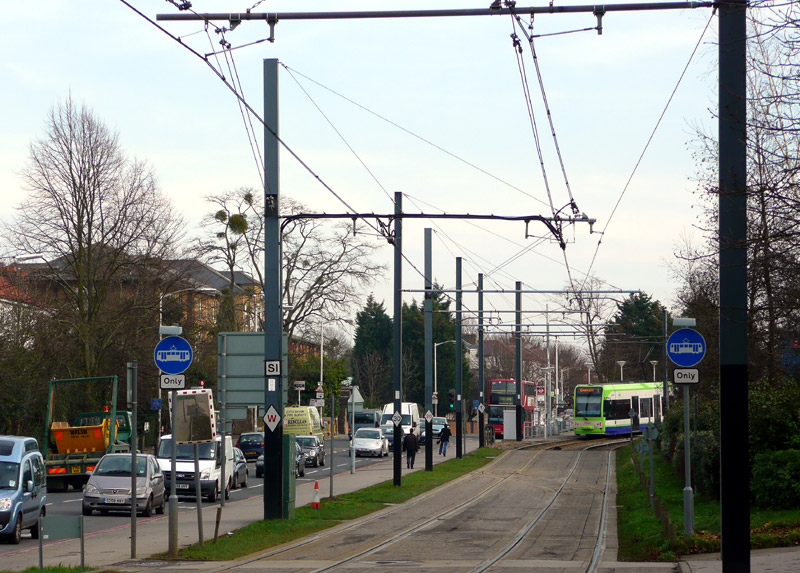
In the distance is Sandilands tram and bus stop
with a Bombardier tram travelling towards Elmers End.
Lawn trackage was included in Tramlink's design brief, but because the British Government's regulations give the company which builds tramways much control over how the construction project is achieved so it was possible for this to be omitted from the final design.

on route 8 in Basle, Switzerland.
plants around the tracks, designed to help delineate the swept
path of the tramway in Zwickau, (south eastern) Germany.
Lawn Track - Creating Green Corridors.
More information about Tramlink can be found in the Wimbledon station section further down this page which looks at busier stations in zones 1-4.
Apart from the Underground, London has an extensive network of urban and suburban railway services provided by many of the main line railway ‘train operating companies’ which provide railway services throughout Great Britain. Most of these feed into terminal stations on the fringes of ‘Central London’, however a few travel through London linking towns to the north of London with towns to the south of London.
The main central London stations and areas they serve are:-
- Paddington; west London.
- Marylebone; north-west London (some services interline with Metropolitan Line trains out of Baker Street station).
- Euston; north-west London (the Overground local services interline with Bakerloo Line trains).
- St Pancras; north London (also high-ish speed Javelin trains to south-east England).
- Kings Cross; north London.
- Moorgate (Northern City / Great Northern Electrics); north London.
- Liverpool Street; east and north-east London.
- Fenchurch Street; east London. (During evenings and at weekends trains sometimes use Liverpool Street instead).
- London Bridge, Cannon Street, Charing Cross; south and south east London, plus (London Bridge only) some Thameslink services.
(some south /south east London trains terminate at London Bridge, others pass through and continue on to Cannon Street or Charing Cross.) - Blackfriars; south, south-east London plus some Thameslink services.
- Waterloo; south-west London.
- Waterloo (East); through station served by trains to / from Charing Cross.
- Victoria; south and south-east London.
With the exception of Fenchurch Street all of these stations are also served by Underground trains. Fenchurch Street is within walking distance of much of London‘s main financial centre, passengers needing onward transport tend to use the nearby Tower Hill Underground station.
Almost all of the trains which serve these stations are electrically powered, except Marylebone, which has only diesel trains.
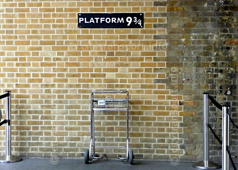
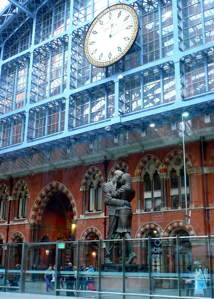
See below for more information.
These are best seen in the larger format which opens in new windows when the images are clicked.
Even visitors who are not railway fans enthuse over the 20-tonne bronze sculpture of a couple in a loving embrace which is directly below the main clock and next to the Eurostar terminus at St Pancras International station - upstairs / on the floor above the retail shops.
Built by artist Paul Day this bronze statue is an imposing 30ft (9m) in height and cost £1 million. Called The Meeting Place it aims to reflect the romantic nature of train travel, and may remind travellers of a scene from a film named Brief Encounter.
 |
|
 |
|
 |
who lives under the main clock on platform 1 at Paddington station.
Fast Regional Trains
Some trains which travel to destinations away from London also serve major outer London stations, making just a few (if any) stops in the inner suburbs. Depending on the route served these journeys may take 15 - 30 minutes and the trains often include 1st class seating and free toilets. In the list below the London terminal station and name of the train operator are in brackets.
- East Croydon; (Victoria [Southern], London Bridge [Thameslink], West London Line [Southern]).
- Bromley South; (Victoria [SouthEastern]).
- Harrow & Wealdstone; (Euston [London Northwestern Railway], West London Line [Southern]).
- Harrow-on-The-Hill; (Marylebone [Chiltern Railways], Baker Street [Metropolitan Line]).
- West Ruislip; (Marylebone [Chiltern Railways]).
- Wimbledon; (Waterloo [South Western Railway]).
- Richmond; (Waterloo [South Western Railway]).
- Romford; (Liverpool Street / Stratford [Greater Anglia]) Note: TFL Rail trains normally call at ALL stations.
- Upminster; (Fenchurch Street [C2C]).
- Clapham Junction; (Victoria - only some trains - [Southern]; West London Line [Southern]; Waterloo - only some trains - [South Western Railway]).
- Also do not forget the Thameslink trains which often provide faster journeys (than the Underground) on north-south services through London - and have free toilets.
There are also two stations just outside of the London local government area (but still part of London as defined by 'built up area') which are also served by longer distance trains that often travel ‘fast’ within London.
- Dartford; (Victoria, Charing Cross / Waterloo East / London Bridge [SouthEastern]).
- Watford Junction; (Euston [London Northwestern Railway]) Note: London Overground trains normally call at ALL stations.
Note that special fares apply at Watford Junction - the situation is very confusing. Passengers can travel to / from this station using Oyster / Contactless PAYG but the fares charged might be different than expected. Travelcards are also accepted but they must include Watford Junction as a fares zone - these are more expensive!
If you want some luxury without going on a long journey then use the Heathrow Express (HeX) between Heathrow Airport and Paddington station. First class is especially nice, with comfortable chairs, folding tables, coat rails and more. Note that the HeX charges special fares, so make sure you know what you are paying before travelling. Being a premium service that is aimed at airline passengers they do not want to have their trains swamped by commuters and therefore do NOT accept any type of Travelcard tickets. However, to make life easier for passengers Contactless and Oyster cards in PAYG mode are accepted. If you have a BritRail, Eurail Pass or All Line Rover then you should also check before travelling.
Trains which use both 25Kv AC overhead wire & 750v DC third rail
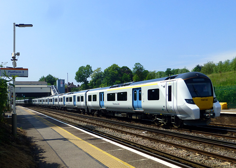
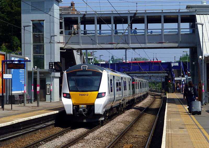
West Hampstead Thameslink station in north London.
London has some trains which use both 25,000v AC overhead wire and 750v DC third rail. They all operate as part of National Rail services and include Classes 378, 700, 710 and 717 on various routes around London.
Farringdon (which is served by both Underground and Thameslink trains) used to be a good station to see trains change between the two systems, however northbound trains now change from third rail to overhead wire (which includes the trains raising their pantographs) at City Thameslink station, which is underground.
Other stations where this can be seen are Acton Central on the western side of the London Overground North London / Mildmay line and Drayton Park on the Moorgate - Finsbury Park Northern City Line. A different way to experience this changeover is to travel in the part of the train that is under the pantograph and to listen to the sound of the changeover.
Trains on the West London Line (WLL) between Harrow & Wealdstone / Willesden Junction and Clapham Junction also change their power supply during the journey - but this cannot be seen as they do it whilst travelling north of Shepherds Bush station.
Also worth knowing... the Class 395 Javelin trains which travel on the High Speed Line between St Pancras station and Ashford and then use normal tracks to serve various locations is south-east England also use both overhead wire and third rail power supply systems, switching between the two at Ashford station.
Trains changing their power supply system can be seen on one of my 'youtube' videos
which was filmed in the early 1990's. Note however that the type of train seen in this video no longer operates on this route and the location (Dalston Kingsland station) is now
fully 'overhead wire' only.
http://www.youtube.com/watch?v=TPg0sZPl28s .
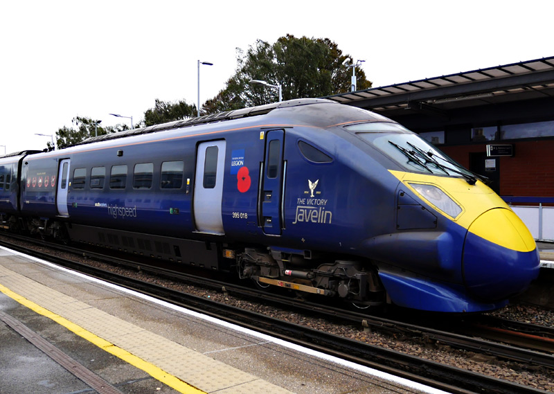
arriving at Strood station in Kent.
departs from Stratford International station.
| London Overground |
| The Birth Of The Overground |
The initial London Overground network comprised seven* urban railway routes which for reasons that included a lack of investment and lack of passenger awareness were
(mostly) seen as transport backwaters. They were joined under one high-profile name and after much investment (and new trains) achieved a level
of public awareness - and patronage - similar to that of the Underground system.
(* Although there were seven routes one of them was shortened and merged with another route, losing its separate identity at the same time).
Part of the Overground ethos has been to provide a turn up and go service so that passengers do not need to consult the timetable - they will know that (on most routes) the trains come at least every 15 minutes. Such has been the success of the Overground Network that to cope with passenger numbers most of the original routes needed to have their trains extended from four to five carriages in length.
In May 2015 some more routes were added to the London Overground network. Some of these are busy urban services whilst one is a short rural branch line.
New Line Colours And Names
In February 2024 it was announced that new names had been chosen for the individual Overground lines and that they were (for the first time) to be given their own line colours. Previously they had always been depicted in orange.
The London Overground map below-right has been updated to show the line names and colours. Some of the line names were chosen to reflect the racial / ethnic diversity of London's population, and for other reasons. Not everyone is happy, not least because some of the lines already had unofficial (but long-standing) names. Another gripe is that some of the chosen names seem to be political.
| Claustrophobia |
Information for people who are happy to travel on trains which are above ground but experience claustrophobia
when in tunnels.
A few locations on the Overground Network have single track tunnels:
* Where trains use the historic Brunel tunnels to pass below the River Thames on the East London / Windrush line The other four-track section is between Highbury between Wapping and Rotherhithe stations.
Note that this line also includes many twin track tunnels.
* On the Euston - Watford / Lioness line between Euston and South Hampstead stations plus between Kensal Green and Willesden Junction stations. On days when this service is diverted to Stratford (instead of Euston)
then the trains pass through single track tunnels when travelling between South Hampstead and Camden Road stations.
| Overground System Maps |
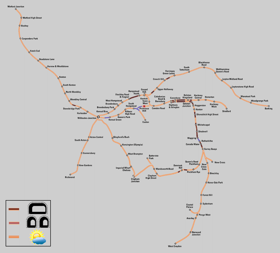
Map showing the London Overground network in 2013.
This map also shows open air and tunnelled sections of railway.
Original source & license: Cnbrb / Wikipedia encyclopædia CC BY-SA 3.0
http://commons.wikimedia.org/wiki/File:London_Overground_2013.png
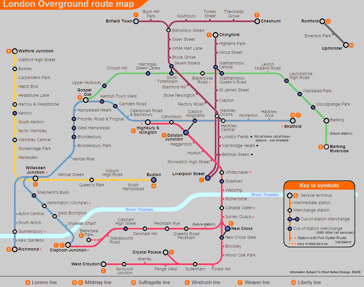
Map showing the London Overground network after more routes were added in 2015 plus interchange stations, stations with pink Oyster Route Validators and the new line colours announced in February 2024. Original source & license:
sameboat / Wikipedia encyclopædia CC BY-SA 3.0
https://commons.wikimedia.org/wiki/File:London_Overground_map_sb.svg
Click maps to see larger versions in new windows!
The 2024 map includes information on the routes which joined the London Overground network in May 2015 and lists the services as route A - route G, as per the information below. However giving the lines letter names was done by one or several people at Wikimedia - and not Tf L / London Overground. Therefore this line information listing is the only use of these letters on this website.
- A: Euston - Watford Junction. In the 1980s this was named Harlequin line but that name did not last long, now it is called the Lioness line.
- B: Richmond - Stratford (via the North London Line). This has been renamed as the Mildmay line.
- C: Clapham Junction - Willesden Junction (via the West London Line) - most of these services are extended to Stratford via the North London Line and is now part of the Mildmay line.
- D: Gospel Oak - Barking Riverside (for many decades this route was nicknamed Goblin but has now been renamed as the Suffragette line).
- E: A group of four interworked services which travel via the East London Line and the historic Brunel Thames Tunnel. The core part of the route is: (Highbury & Islington ... some trains only) - Dalston Junction - Whitechapel - Surrey Quays, from where trains fan out to reach one of four destinations: New Cross / West Croydon / Crystal Palace / Clapham Junction. Now renamed as the Windrush line.
- F: A group of three north London services which radiate from London's Liverpool Street station to Cheshunt (via Seven Sisters) / Enfield / Chingford (This group of lines was also known as West Anglia and Lea Valley but has now been renamed as Weaver line).
- G: A short branch line shuttle service between Romford and Upminster at the eastern edge of London - for the first time this service has been given a name ... it is Liberty line.
This map was first issued in 2015 but was updated in February 2024 after the Overground lines were given names and line colours, which took effect in November 2024 when station signage started being updated.
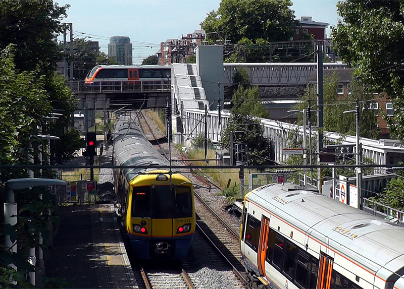
On the left is a departing westbound Class 378 train.
On the right is an eastbound train heading to Stratford.
On the bridge is a northbound West Anglia / Weaver line
Class 710 train arriving at Hackney Downs station.
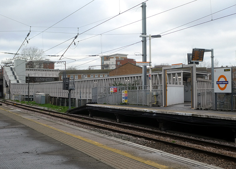
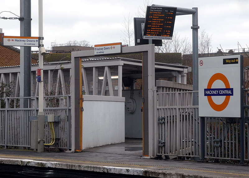
This walkway is fully accessible and also has some pink Oyster / Contactless card readers so that passengers paying train
fares using PAYG (or with Oyster Travelcard season tickets which do not include zone 1) can benefit from cheaper fares.
| Outer Circle Line |
Although not marketed as such the combination of several London Overground services forms a Circle line around London.
However, this operates in several segments, so for some journeys passengers will need to change trains at Clapham Junction [in south London] or Canonbury / Highbury & Islington plus any station between Dalston Junction and Surrey Quays [in north and east London].
Passengers paying fares using electronic smart card ticketing in PAYG (pay as you go) mode (Oyster, contactless, etc.,) are advised NOT to try and travel around the entire circle in one journey. The PAYG system is not designed for such journeys and passengers who try to do this will find themselves being charged an expensive maximum fare. NB: this advice also applies to passengers who have reached the fares cap for that day and passengers with Oyster Travelcard Season Tickets which do not include both Zones 1 and 2.
However passengers with paper One Day Travelcards which are valid in zones 1 and 2, All Line Rover, BritRail and Eurail passes (etc.,) can make such journeys without ticketing complications.
| Train Types - Class 378 |
The air-conditioned London Overground Class 378 Capitalstar trains are used on these services:
- Euston - Watford / Lioness line
- North London / Mildmay line
- West London / Mildmay line
- East London / Windrush line.
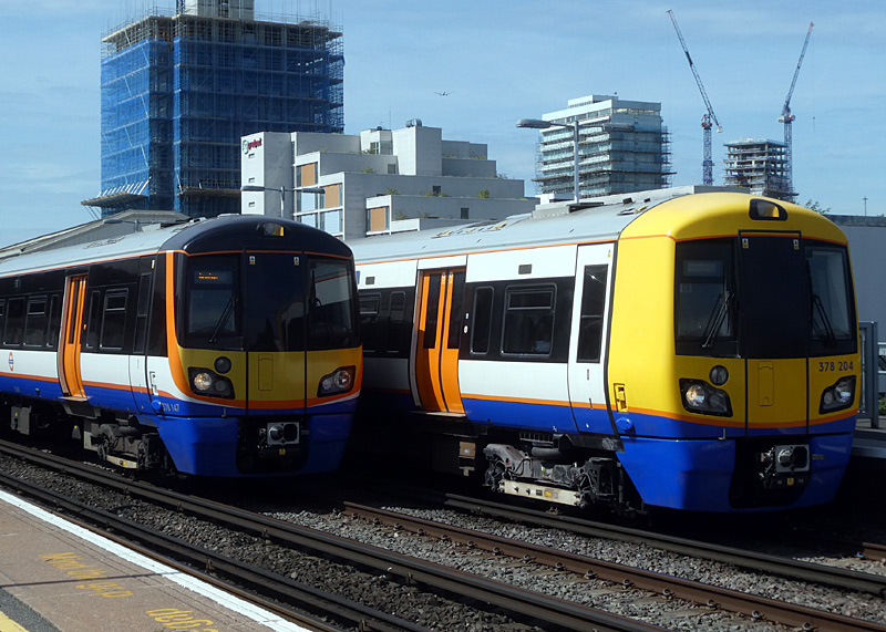
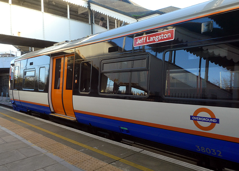
On the left is 378 147 in the newer livery, it is on a South & East London / Windrush lines service to Dalston Junction via Whitechapel.
On the right is 378 204 in the older / original livery on a West & North London / Mildmay lines service to Stratford via Willesden Junction.
named after the late Jeff Langston, who used to work at TfL.
It is using the bay platform at Willesden Junction.
This train is in the newer livery which is designed to be similar
to the livery of the Class 710 trains.
These are powerful trains which were designed for 75mph (121 km/h) operation, although because much of the routes they serve have a top speed of just 45mph (72 km/h) they rarely demonstrate their true capabilities. Indeed, it is a characteristic of these trains that they travel calmly and sedately, with slow station approaches and gentle braking of the type which makes for very smooth journeys - and longer overall journey times.
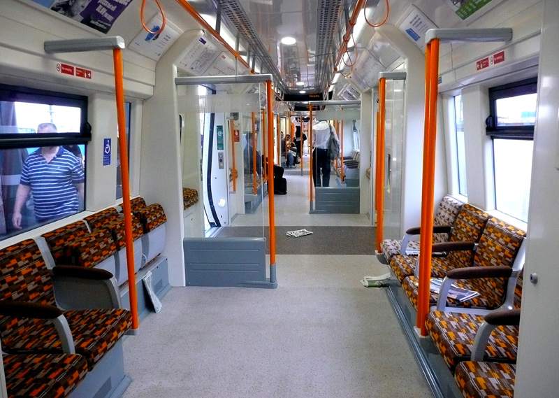
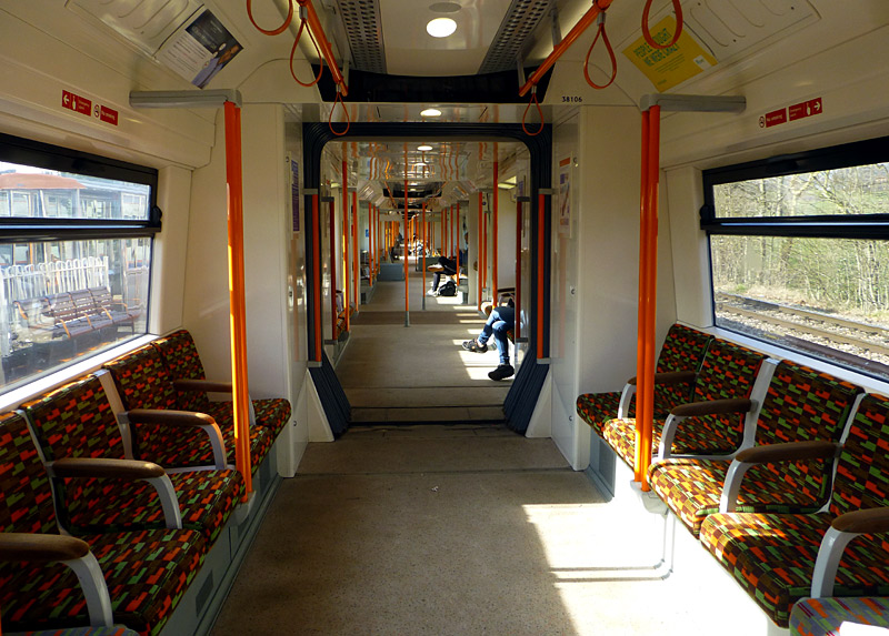
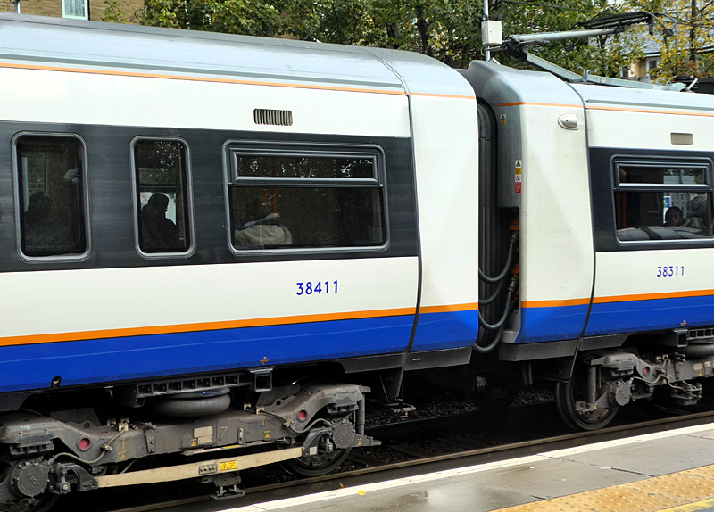
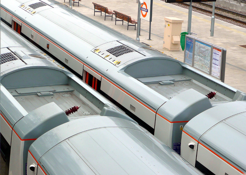
750v DC third rail system, but are designed for easy conversion
to twin system.
A short film showing Overground and other trains taken a New Cross Gate in May 2013 can
be seen on 'youtube' at this link: http://youtu.be/9EpfgK8Z34g
| Train Types - Class 710 |
The air-conditioned London Overground Class 710 Aventra trains - there are three variants of these trains.
- Class 710/1 - four carriage 25Kv AC overhead wire trains for the West Anglia / Weaver line and Romford - Upminster Liberty line.
- Class 710/2 - four carriage dual voltage (25Kv AC overhead wire and 750v DC third rail) trains for the Euston - Watford Lioness line and Goblin / Suffragette line.
- Class 710/3 - five carriage dual voltage (25Kv AC overhead wire and 750v DC third rail) trains for the Euston - Watford Lioness line plus the North and West London / Mildmay line services.
It is very unlikely that Class 710 trains will ever be used on the East London / Windrush line. This is because they do not have emergency exit doors at each end of the train and therefore it is illegal for them to carry passengers through the narrow single bore tunnels below the river Thames.
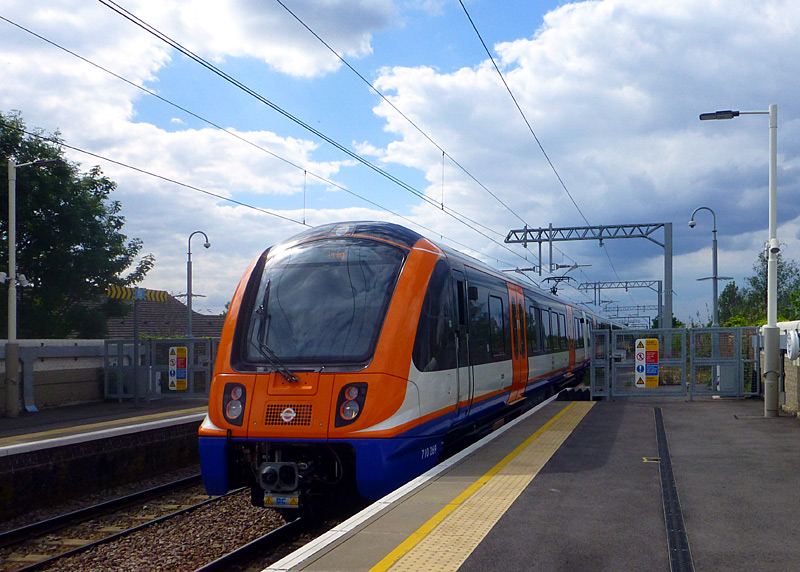
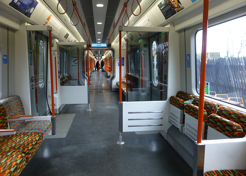
of station platform. This is one of several stations on this route where only part of a much longer platform is used.
 |
|
 |
|
 |
|
 |
| Some Route Information |
- The Euston - Watford Junction (all stations) service (Lioness line).is powered at 750V dc via a third rail.
The tracks between Queens Park and Harrow & Wealdstone are shared with Bakerloo Line Underground trains.
Very occasionally the Euston - Watford trains are diverted away from Euston station and instead travel to Stratford via the former (ie: now closed) Primrose Hill station.
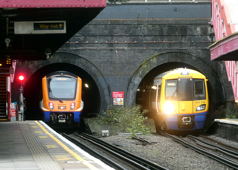
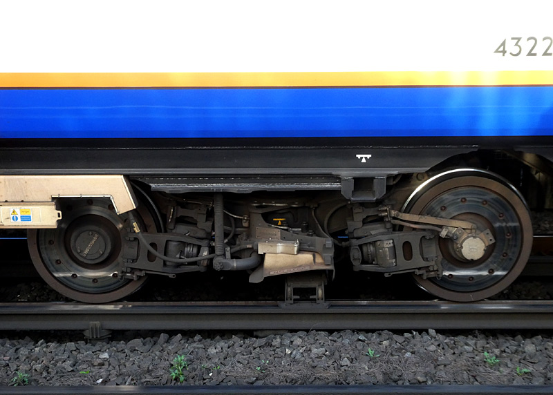
which is just to the north of some short tunnels.
Both train types are used on this route.
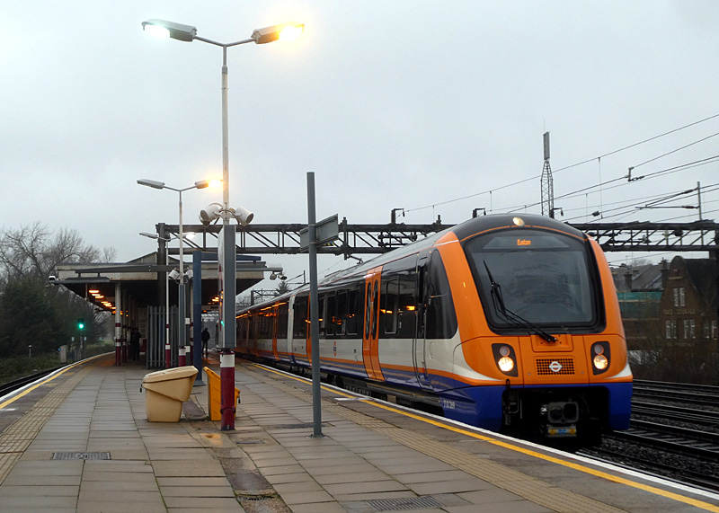
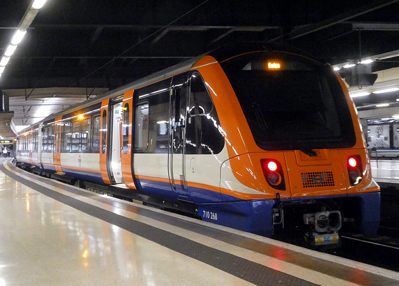
West Coast Main Line which is used by Inter-City trains to
Birmingham, Manchester, Liverpool, Carlisle and Glasgow.
| North London / Mildmay line |
- This service links Richmond in south-west London with Stratford, which is in east London.
It is almost entirely above ground and represents a good way for people who do not feel adventurous to see suburban parts of London without wandering the streets and risking becoming lost.
Between Richmond and Acton Central the trains are powered at 750V DC via an electrified third rail whilst between Acton Central and Stratford they are powered at 25kV AC from overhead wires,
Note that for 'end to end' journeys between east and west London it might be quicker to travel via Central London, however as that is via zone 1 it will also be more expensive.
The North London Line is also a very busy freight route, especially the sections between Willesden Junction and Gospel Oak plus Camden Road and Stratford.
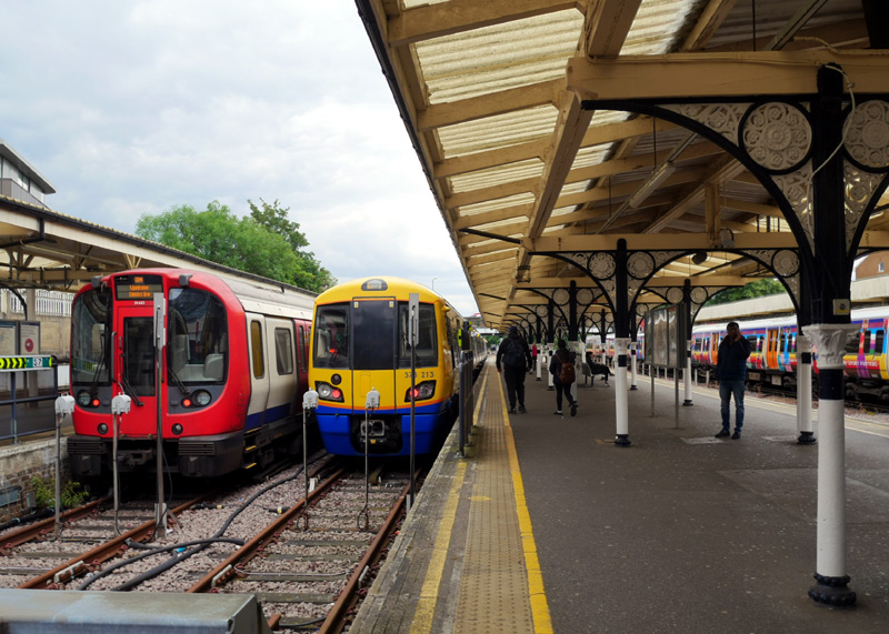
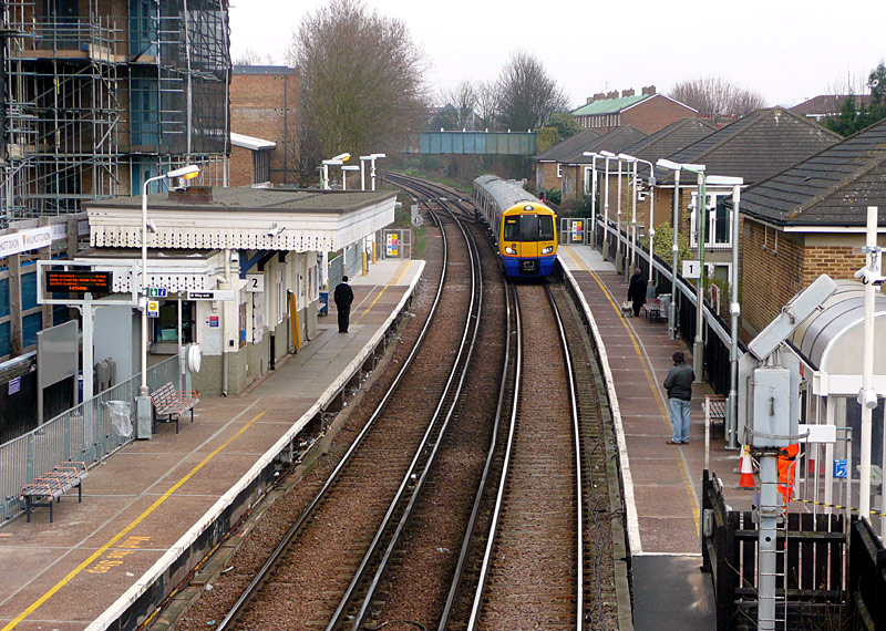
at Richmond station, south-west London.
from when they were extended as part of a project to
make all stations suitable for four and then five coach trains.
Richmond is a nice suburban area and on sunny days the areas near to the River Thames are very popular. Kew Gardens station is just a few minutes away by train and the railway crosses the River Thames on a bridge between Kew Gardens and Gunnersbury stations.
The route between Richmond and Gunnersbury is jointly operated with District line subsurface Underground trains.
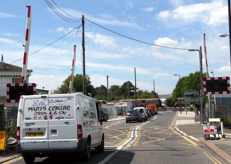
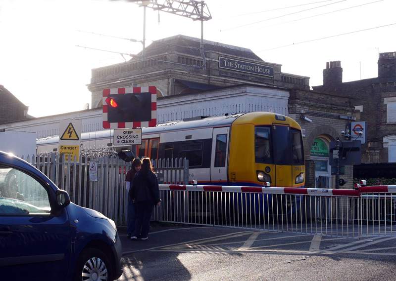
Whilst calling here the trains switch between
25Kv AC overhead wire and 750v DC third rail.
This platform includes a coffee shop with an indoor eating area.
Note that there is a large height difference between the platforms and train floors. This makes accessibility somewhat challenging.
This is a busy interchange station with the jointly operated Euston - Watford / Lioness and Bakerloo lines services. To reduce crowding there are several walking interchange routes. .The Euston - Watford / Lioness / Bakerloo line platforms also have a coffee shop - and some public toilets.
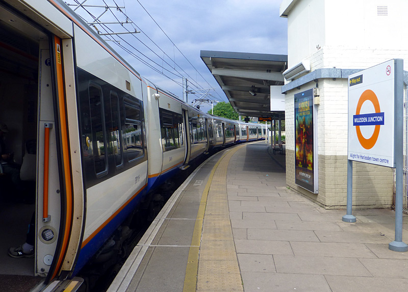
One of the sharply curved platforms used by
North and West London lines trains at Willesden Junction.
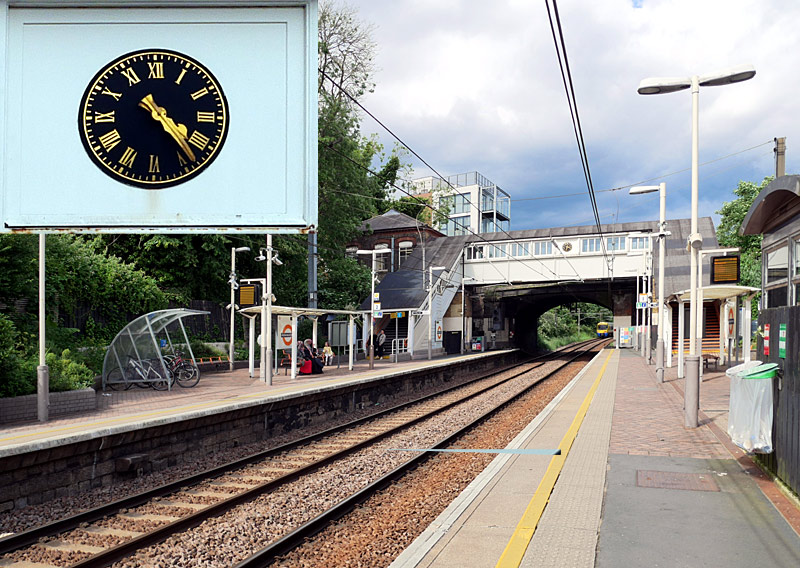
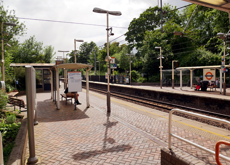
At street level passengers using this station benefit from a small but perfectly formed station building (its roof is visible to the right of the inset clock),
plus weather protected passageway and stairways. The clock on the outside wall of the passageway behind the ticket office is a distinctive feature.
At platform level there are pleasant warm weather (ie: summer) waiting areas with a garden ambience.
Both photographs were taken on the westbound platform.
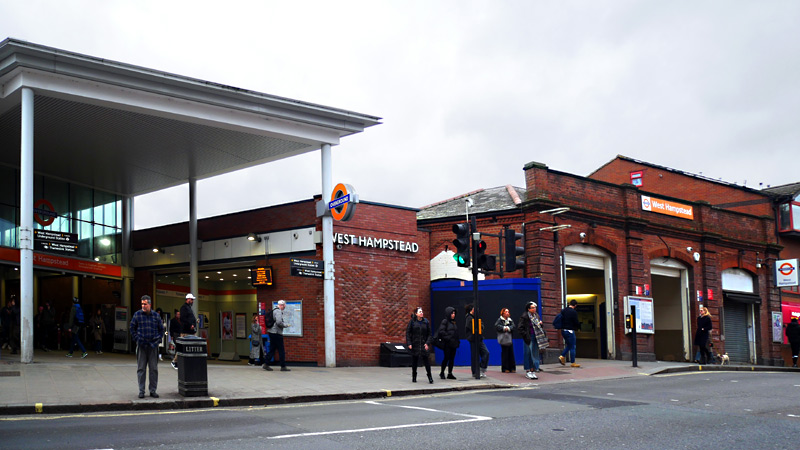 |
 |
 |
Middle: The old station building has a staffed ticket office - the blue hoardings cover the former access to steps down to the platform.
Right: Platform view showing the location of the new stairway to the platforms - the old station building is in the distance, the blue hoarding shows the former location of a flight of stairs between the ticket office and a platform.
At busy times this station was often very crowded, and a much larger replacement station building that is also fully accessible was opened in 2019.
But whilst the new building has self-service ticket machines it does not have a staffed ticket office ... and therefore the old station building is still open!
The new station building is very nice - spacious, wide ticket gateline, high ceiling, etc., but also seriously flawed. The platform access steps are now in the middle of the platforms and the increased walking distance between the street and the platforms means that passengers sometimes miss trains that they would have caught when using the old station building.
Also, the platforms do not have any weather protection canopies and the bus-stop style shelters have fully open fronts - so in wet windy weather are about as useful as the proverbial chocolate teapot. This helps explain why the waiting passengers are standing below the footbridge over the tracks and on the steps - which is not a good place to be waiting for a train.
West Hampstead Jubilee line and Thameslink stations are short walks (in opposite directions) from here. Passengers paying fares using PAYG are allowed to walk between these stations and then continue their journey at no extra cost. (Touch-out when leaving the station and touch-in when arriving at the other station). There is a generous time limit in which this journey must be completed, so people who walk slowly should not worry.
On the left of the entrance passageway there are some self-service ticket machines, on the right there is a staffed ticket office.
At the far end of the passageway through the station building are some free-standing Oyster card readers.
At street level black painted wood hides scrubland on either side of the present-day station building.
Behind the ticket office is an open air passage which leads to open air steps down to the platforms and bus-stop style platform shelters.
Most of the arriving westbound Class 378 train in the image on the right cannot be seen because it is still in the tunnel between here and Hampstead Heath.
Finchley Road Metropolitan and Jubilee lines station is 7 - 10 minutes walk from here. Passengers paying fares using PAYG are allowed to walk between these stations and then continue their journey at no extra cost. (Touch-out when leaving the station and touch-in when arriving at the other station). There is a generous time limit in which this journey must be completed, so people who walk slowly should not worry. However this time limit does not allow for going shopping at the O2 shopping centre.
There is a twin track tunnel between Finchley Road & Frognal and Hampstead Heath stations.
Near to Gospel Oak station look out for the childrens' play ground and the allotments (an area of urban ground split up into small patches so that people who do not have gardens attached to their houses can grow fresh vegetables and flowers).
Between Kentish Town West and Camden Road the railway passes near to the famous Camden Market.
The views out the train windows in this area are especially interesting with many types of buildings - residential (various styles), light industrial (some of which looks to have been converted to residential) open space for recreational use and more.
The Camden Road - Dalston section is mostly four-tracked, in two sections with different styles of train use.
Camden Road station has four platforms but only two of these are used by trains. The reason for this is that just outside the station there is a bridge over a road that needs replacing, and this will be expensive. So, instead that section of railway is no longer used by trains. The longer-term plan is to convert it to a leisure-themed 'highline' pedestrian walkway.
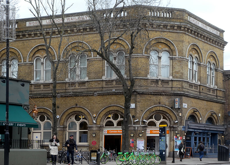
Camden Road is one of the few stations to still retain its original North London Railway station buildings. The railway company and (original) station names can be seen at the top of the building. |
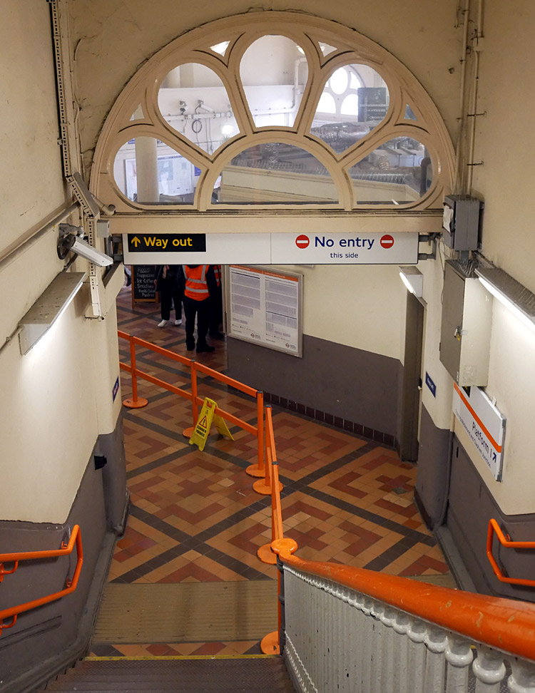
Looking down the stairs for the westbound platform - the tiled flooring is a decorative feature. |
|
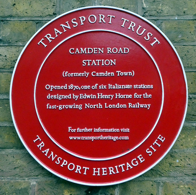 |
Camden Town Northern line station is 7 - 10 minutes walk from here. Passengers paying fares using PAYG are allowed to walk between these stations and then continue their journey at no extra cost. (Touch-out when leaving the station and touch-in when arriving at the other station). There is a generous time limit in which this journey must be completed, so people who walk slowly should not worry. However this time limit does not allow for going shopping in the market.
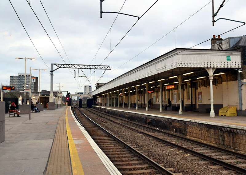
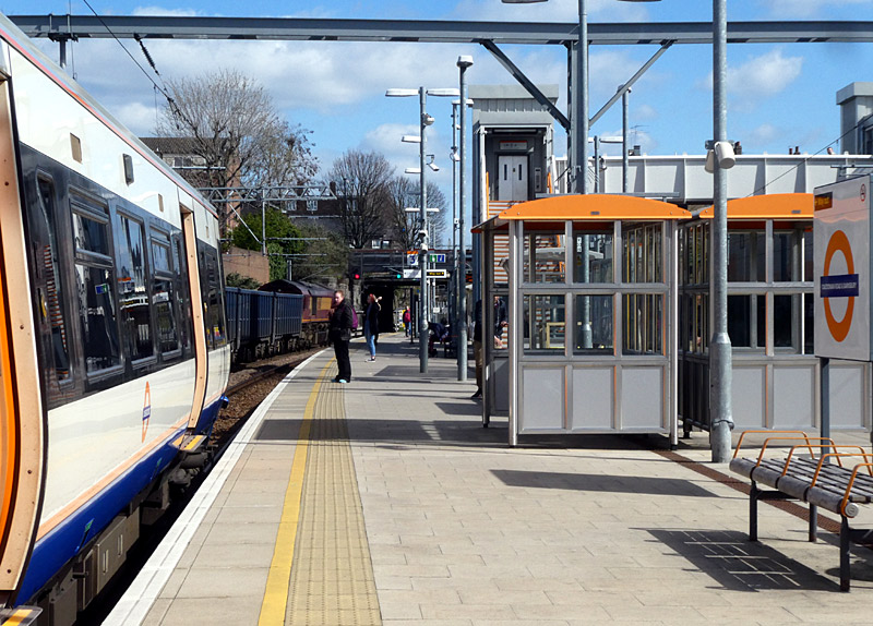
On the far left is a black-painted wooden wall that hides the rest of this double-sided island platform.
There is also a disused fourth platform out of sight on the far left.
Caledonian Road & Barnsbury station, which has four tracks.
Also seen here is that there is a freight train to the left
of the passenger train - this is explained in the text below.
The four-track section through Caledonian Road & Barnsbury station is split with passenger trains normally using the middle tracks and calling at an island platform and freight / goods trains using the outside pair of tracks. This helps improve service flexibility as it allows passenger and freight trains to pass each other. Also, it means that freight trains can wait here for their correct time-slot in the timetable without delaying passenger trains.
The other four-track section is between Highbury & Islington and just outside Dalston Kingsland station. Here the northern pair of tracks are used by the North London / Mildmay line and the southern pair of tracks are used by the East London / Windrush line.
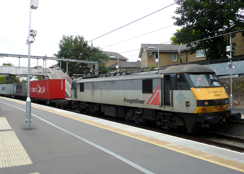
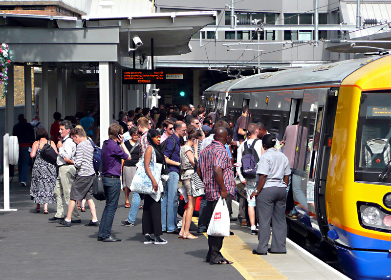
This eastbound electrically hauled container train is
passing platform 8 at Highbury & Islington station.
North London / Mildmay line) at Highbury & Islington is very busy.
Many passengers change trains here,
catching the Victoria Line to Central London.
In the Hackney area the line is on a brick arch viaduct which offers many good views of east London.
The stations Dalston Kingsland - Hackney Wick were opened (as brand new) in the 1980s, when passenger services through east London were reintroduced after WW2!! However since then some of them have been partially / fully rebuilt.
Yes, reopened 40 years later - by a London local government politician who championed improving London's railways because better rail services improve people's quality of life. The line really should have reopened much sooner after the war but the Westminster civil servants (and politicians) who (since WW2) have been (mis)managing the railways only seem to know how to run the railway down in favour of road travel.
This is an area which some people may prefer to avoid, although it should be perfectly safe to view from passing trains.
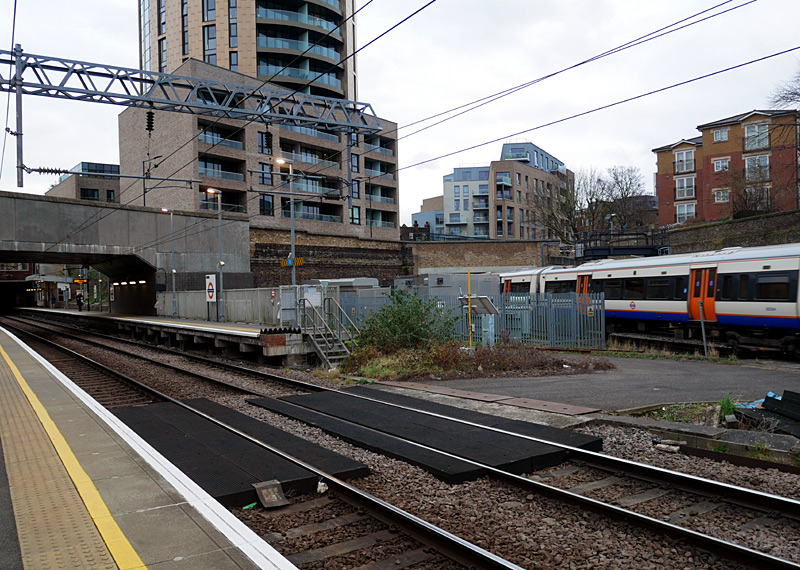
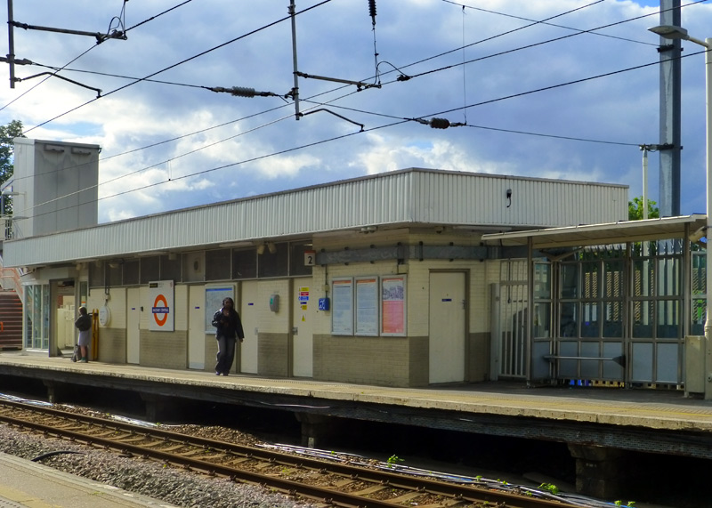
(ie: used by trains going to Stratford) at Dalston Kingsland station.
The train seen here is leaving the four-track section
and is on the East London / Windrush line with its next
station stop being at Dalston Junction.
This looks like a standard British Railways 'Clasp' building - a low-cost prefabricated modular design that was assembled on site.
The direct interchange walkway with the Lea Valley / Weaver line Hackney Downs station is seen at the start of the London Overground part of this web page.
The out of station interchange (OSI) system means that passengers paying fares using PAYG are allowed to walk between Dalston Junction and Dalston Kingsland stations and then continue their journey at no extra cost. (Touch-out when leaving the station and touch-in when arriving at the other station). There is a generous time limit in which this journey must be completed, so people who walk slowly should not worry. However this time limit does not allow for going shopping.
Hackney Wick station was rebuilt in 2018 with a multi-award winning landmark station building designed by architects, Landolt Brown.
These links lead to more information and photographs:
https://thebeautyoftransport.com/2023/08/23/chemical-attraction-hackney-wick-station-london-uk/
https://www.ianvisits.co.uk/articles/hackney-wicks-brutalist-new-london-overground-station-opens-25510/
Unfortunately there have been issues with local street artists decorating / defacing the station. Some people like such artistic endeavours, others see it as graffiti vandalism and intimidating - making them feel unsafe and hence decide to avoid the area.
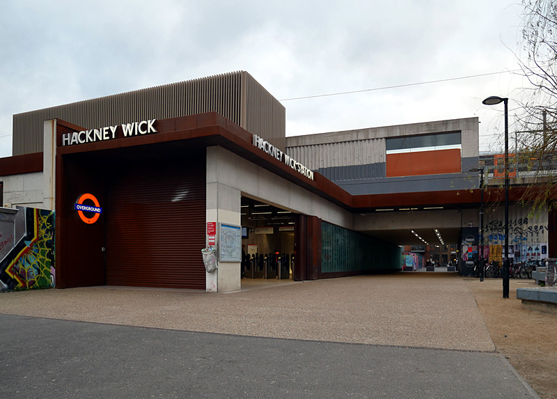
Of course the rebuilt Hackney Wick station is now fully accessible but the station rebuilding project was much grander than simply adding a few lifts.
Previously this station had a footbridge over the tracks (which are on an elevated viaduct) but when rebuilt this was replaced by a two-section underpass.
One part of the underpass is inside the station's fares paid area and leads to stairs and lifts, whilst the other section is dedicated to people who are
not travelling by train.
The divider between the two sections is a series of glass wall hexagons set in weathered steel bases. At night these are illuminated - with green glowing lights!
Another innovative design feature is that much of the concrete used on the stairways retains the imprint of the wooden formwork from when the liquid concrete was cast.
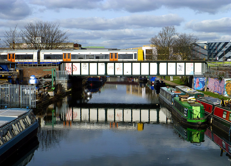
Also of note are the double-height* handrails in London Overground orange colour with downward-facing lighting from the upper handrail.
*(Why? Because people come in a wide range of heights - especially when one also thinks of children).
This location is near to Hackney Wick station.
It was photographed from White Post Lane - I had walked
to here from Stratford station via Carpenters Road and the Queen Elizabeth ll Olympic Park.
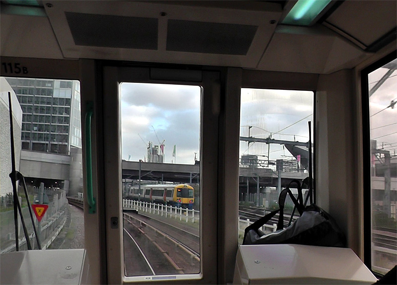
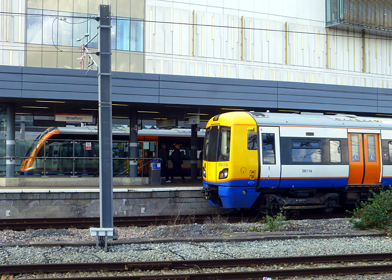
The best time to try and see this is the rush hour when both services are more frequent and eastbound Overground trains (going to Stratford) often queue to enter the station.
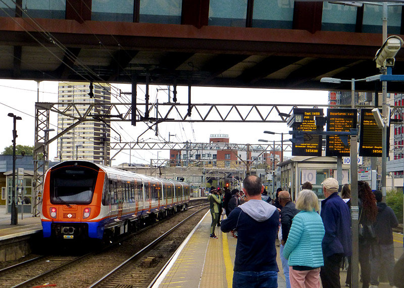

Only a few Overground trains call at these platforms.
(with a Greater Anglia Class 720 arriving at platform 12).
| West London / Mildmay line |
- This service links Clapham Junction with Willesden Junction, changing between 25kV AC overhead wires and 750V DC third rail part-way between Shepherds Bush and Willesden Junction
stations.
Nowadays most trains travel all the way from Clapham Junction to Stratford, enhancing the service frequency on this very busy section of railway..
The West London Line is also served by an hourly Southern train which travels betweenMilton KeynesWatford Junction and East Croydon. Note that these trains do NOT stop at Willesden Junction. This route is also used by many goods / freight trains.
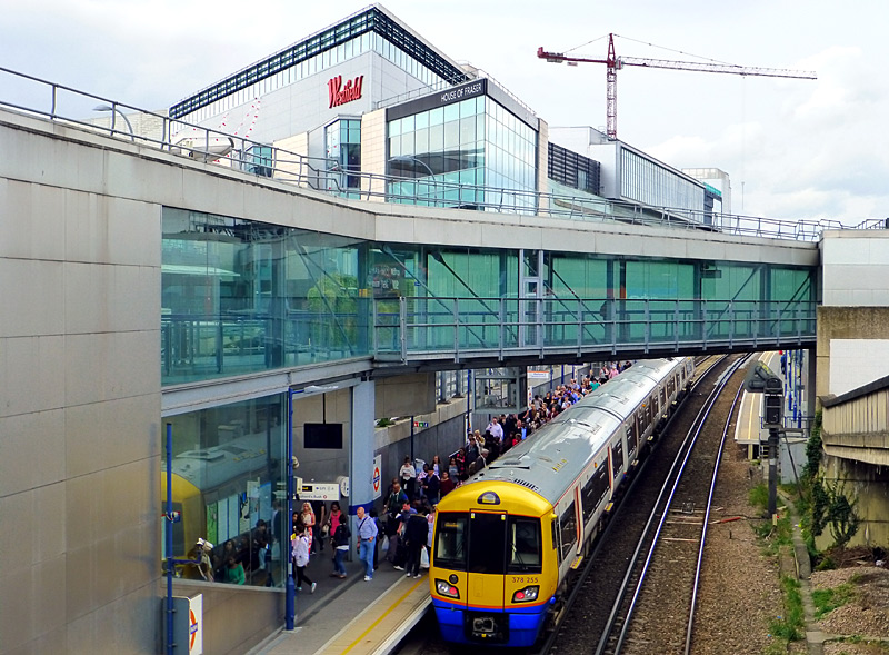
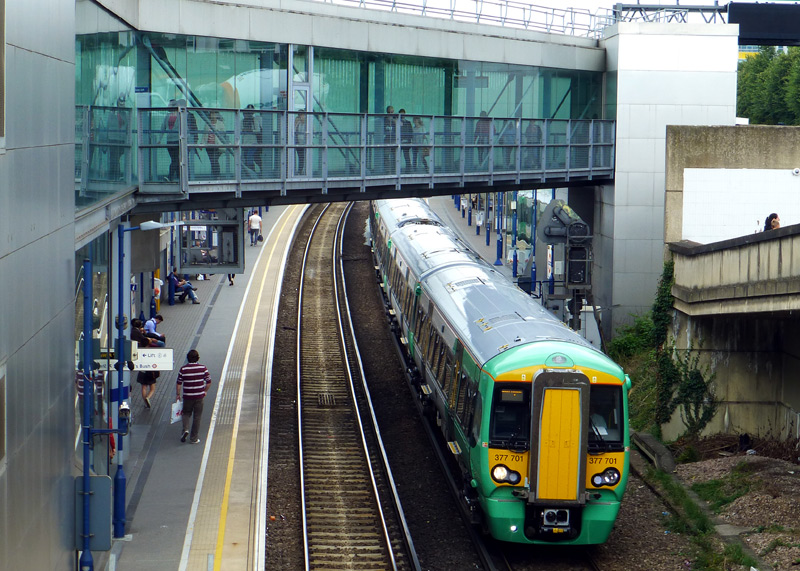
This busy station is next to a very large Westfield shopping centre and there is a Central line Underground station (also called Shepherds Bush) nearby.
The out of station interchange (OSI) system means that passengers paying fares using PAYG are allowed to walk between the two Shepherds Bush stations and then continue their journey at no extra cost. (Touch-out when leaving the first station and touch-in when arriving at the other station). There is a generous time limit in which this journey must be completed, so people who walk slowly should not worry. However this time limit does not allow for going shopping.
At West Brompton station passengers interchanging between southbound Overground (or Southern) and northbound Underground trains benefit from same-level cross-platform interchange via some gaps in the fence.
However passengers interchanging between northbound Overground (or Southern) and southbound Underground trains must use the steps / lifts - up and then down.
Most passengers who change trains here and are paying their fare using electronic smart cards (Oyster, contactless, etc.,) in PAYG mode will find their journey is cheaper if they remember to use the pink card readers. Passengers with Travelcard season tickets which do NOT include Zone 1 also need to use the pink card readers - as otherwise they risk being charged a Zone 1 fare.
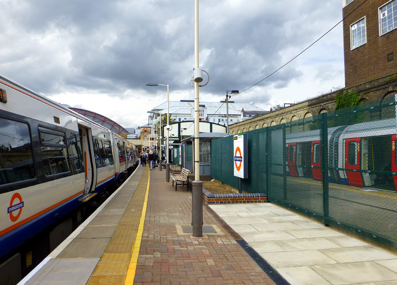
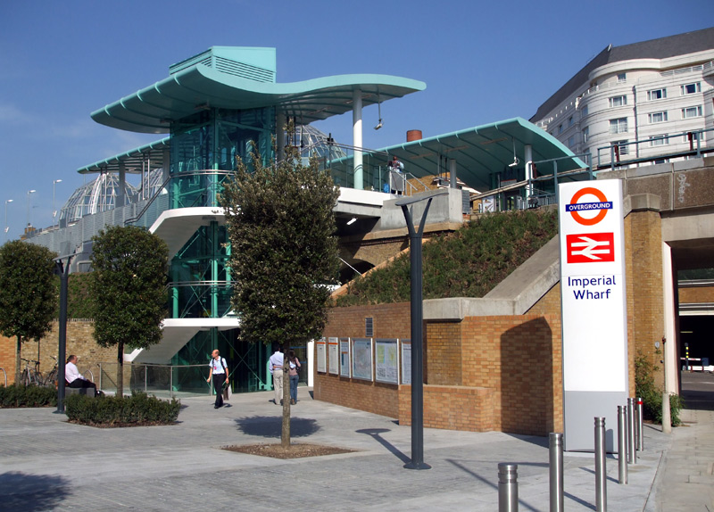
platforms are alongside the northbound District line's platforms.
Original source & license: Sunil060902 / Wikipedia encyclopædia CC BY-SA 3.0
https://commons.wikimedia.org/wiki/File:Imperial_Wharf_stn_eastern_entrance.JPG
At most times Kensington Olympia is only served by trains operated by London Overground and Southern - District line Underground trains usually only come here at weekends,
during busy events at the nearby exhibition halls or when there is disruption to the (District Line) service.
In addition many goods (freight) trains travel through here.
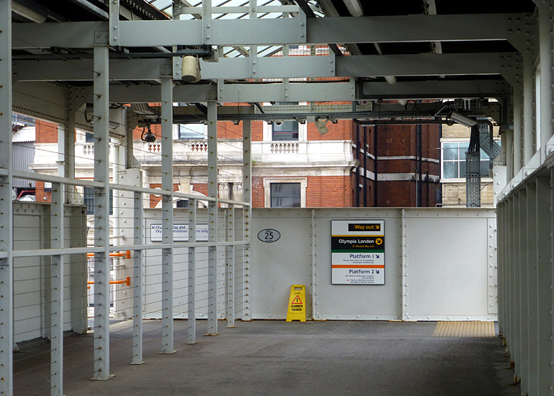
| East And South London / Windrush lines |
- This is a group of four services. They are all powered at 750V DC via a third rail. Note that one of the intermediate stations (Shoreditch High Street) is in Zone 1,
which makes journeys through this station more expensive to travel on (higher fares).
‣ Highbury & Islington - West Croydon
‣ Dalston Junction - New Cross
‣ Highbury & Islington - Crystal Palace
‣ Dalston Junction - Clapham Junction via the part of the route of the former South London Line (SLL).
The section of East London Line between Highbury & Islington and 'near to' Shoreditch High Street was originally part of the North London Line, but for many years it had been closed. Between Dalston Junction and near to Whitechapel this line is on a viaduct which gives interesting views of the local buildings and the stations are all brand new.
The present-day Shoreditch High Street station replaces the older East London Line Shoreditch station which was demolished to allow for the construction of a new link between the railway viaduct and Whitechapel station. Just outside the station the railway crosses Shoreditch High Street on a brand new bow string bridge.
Shoreditch High Street station is fully built-over - this was done so that other buildings can be built around and above it with a much reduced safety risk from something falling on to the station.
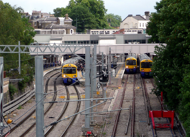
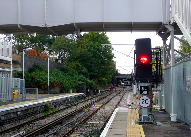
as seen from the B515 Liverpool Road.
On the left are North London / Mildmay line platforms №s 8 and 7.
On the right are East London / Windrush line platforms №s 2 and 1.
Whilst the track from platform 2 connects with the North London Line, the signalling system has been designed to not allow through trains!
The track from platform 2 extends all the way to the track for platform 7 but the third rail ends part way along the station platform. The overhead wire power supply starts from the underside of the footbridge over the tracks - as seen at the top of this photograph.
The signal is thought to be more like a fixed red light.
Perhaps the New Cross trains would be ideal for this, as this is the shortest route and it does not travel over tracks also used by other services, so is least likely to experience delays.
But when the East London / Windrush line Overground service started using Highbury & Islington station we were told that the signalling system was purposely designed to not allow through trains, this was done to prevent delays on one route affecting other routes.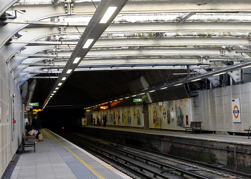
Canonbury station, where only the East London / Windrush line platforms have these 'Harrington humps' which create level access between the platform and the train floor along part of the train.
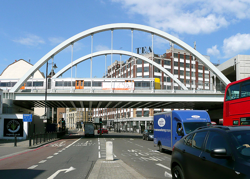
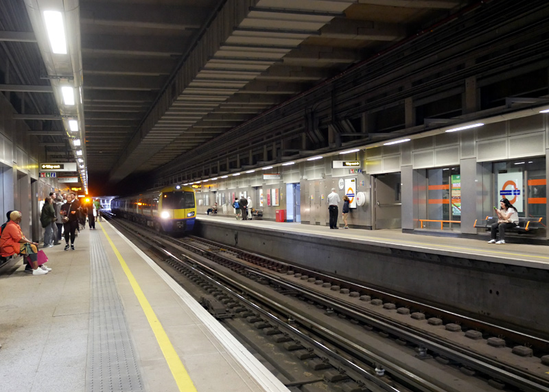
which (unlike the rest of the route) is in Zone 1.
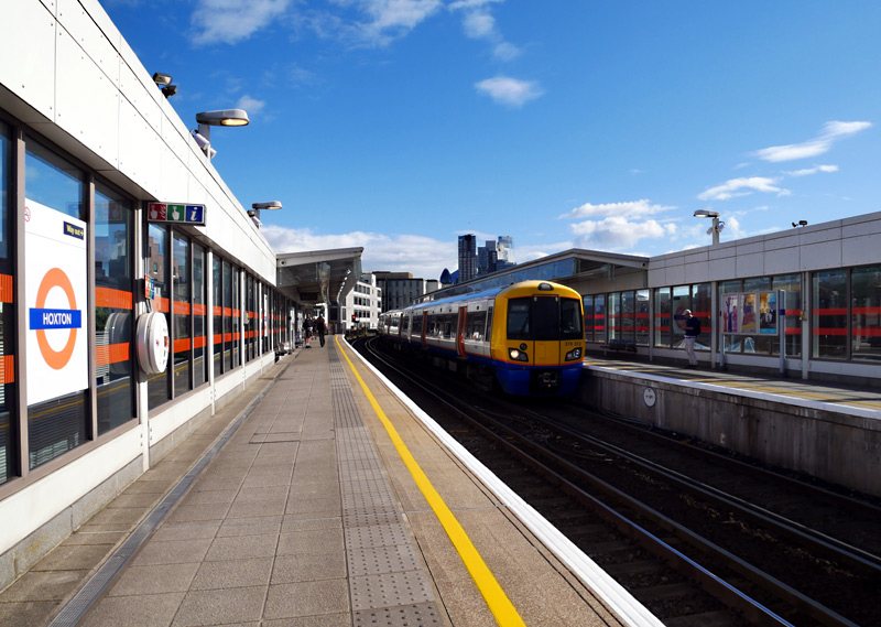
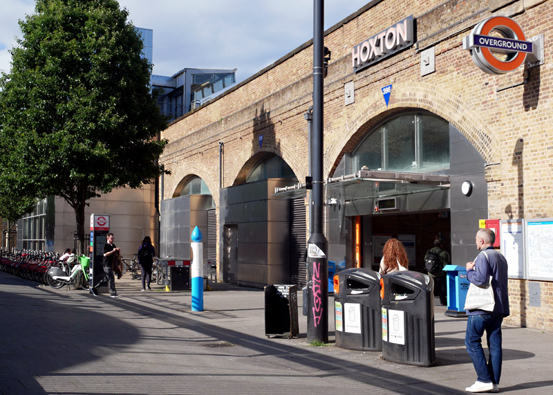
The glass walls provide some shelter from the wind.
elevated above traditional brick built railway arches.
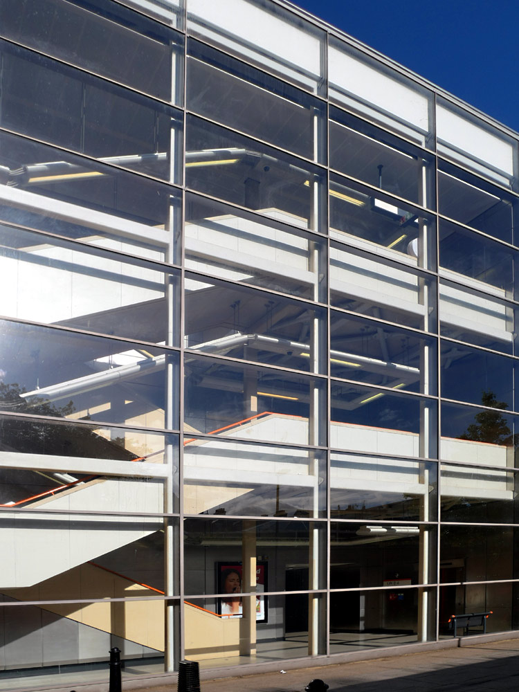
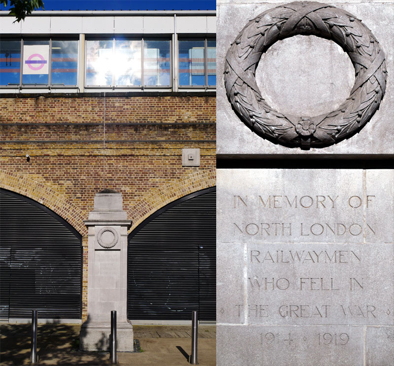
close nearby is a North London Railway war memorial for its railway staff who fell whilst in the military during WW1.
A Little History
The section of East London Line between the old Shoreditch station and New Cross / New Cross Gate was operated by Metropolitan Railway / line trains for over 100 years! This route includes the
first tunnel ever to be built under the River Thames. The text below is copied from one of the Nostalgia, Heritage & Leisure pages on the citytransport.info
website .
35ft [11m] wide, 20ft [6m] high and 1,300ft (¼ mile / 396m) long, this tunnel runs between Rotherhithe and Wapping at a depth of 75ft [23m] below London's River Thames. It was built between 1825 and 1843 using Marc Isambard Brunel's newly invented tunnelling shield technology, by him and his son Isambard Kingdom Brunel. This long time period included a seven year abandonment which was caused by financial problems. Originally the intention was that the tunnel should be used by horse-drawn carriages but ongoing financial problems meant that the access ramps could not be afforded and it remained for pedestrians only. In 1865 the tunnel was purchased by the East London Railway Company, this being a consortium of six railway companies who wanted to use the tunnel to provide a rail link for goods and passengers between Wapping (and later, Liverpool Street) and the railways in south London. The tunnel opened for trains in 1869 and in 1884 the disused entrance shafts in Wapping and Rotherhithe were converted into Wapping and Rotherhithe stations respectively.
The other four railway companies were the Great Eastern Railway (GER), the London, Brighton and South Coast Railway (LB&SCR), the London, Chatham and Dover Railway (LCDR) and the South Eastern Railway (SER) - these eventually became part of British Railways.
The Metropolitan Railway electrified the line in 1913 and ended up providing the 'local' passenger services - including many through trains over the northern part of the Circle line to destinations such as Uxbridge and Hammersmith (both via Baker Street). The through trains used a (now closed) linking track between these low level platforms at Whitechapel and Aldgate East stations.
The other railways still used steam locomotives and they operated longer distance services (eg: to the south coast) and freight trains.
Nowadays only Overground trains use this line, one reason being that the new section of track past the former Shoreditch station which joins the subterranean and elevated sections of line is quite steep and only trains which are powerful enough to negotiate this incline are allowed to use this route.
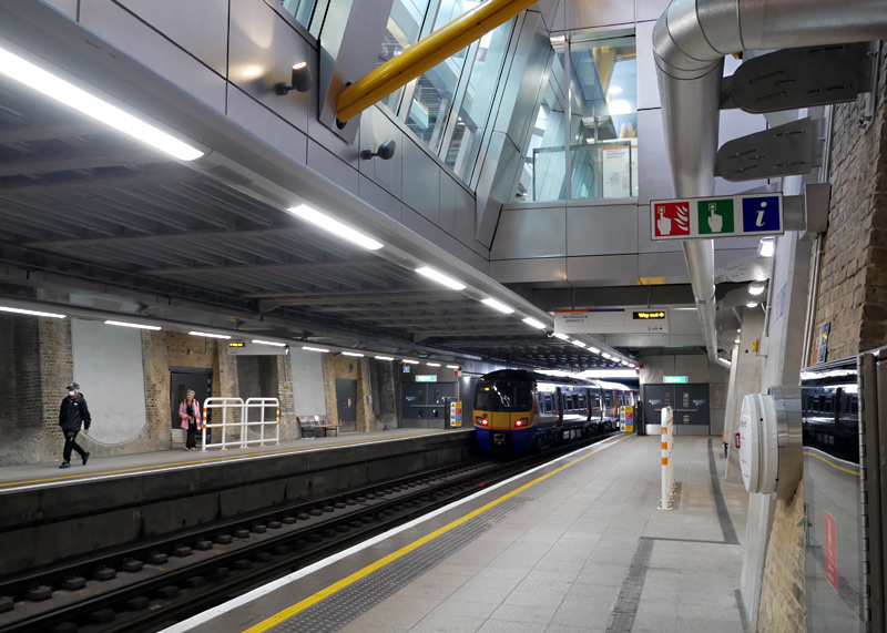
As part of the project to build new platforms for the Elizabeth line Whitechapel station has been significantly rebuilt with better interchange between Underground and Overground platforms and is also now fully accessible.
Unfortunately the changes at this station mean that it is no longer possible to see that East London / Windrush line Overground trains pass below District and Hammersmith & City lines Underground trains.

There is also a DLR station named Shadwell and passengers who wish to change trains here and are paying their fares in PAYG (pay as you go) mode can take advantage of the 'out of station interchange' feature (OSI) to be charged one through fare for their journey.


when it was used by London Transport F Stock electric passenger trains as well as British Railways steam (later diesel) powered freight trains.
A short walk along Railway Avenue from Rotherhithe station is the Brunel Museum. This includes the Brunel Engine House which was designed by Sir Marc Isambard Brunel as part of the
infrastructure of the Thames Tunnel. The museum has a website at this link:
http://www.brunel-museum.org.uk/ .
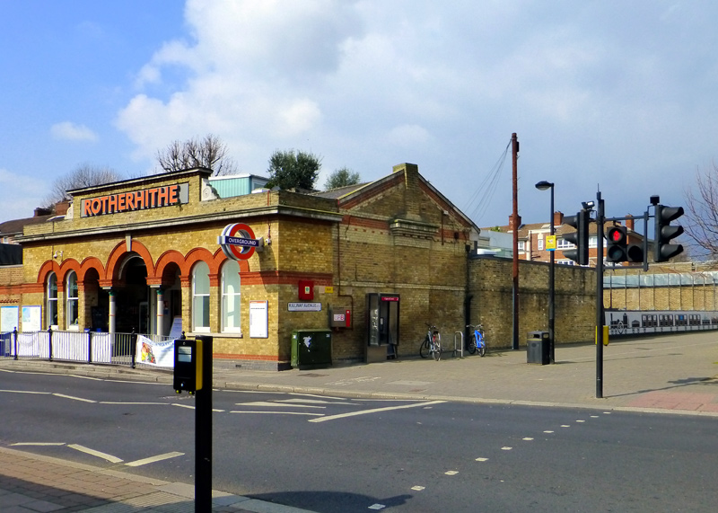
Rotherhithe station and Railway Avenue. |
|
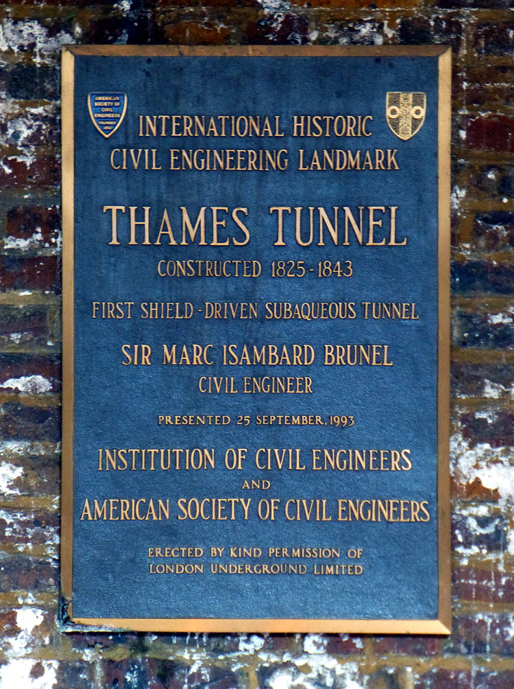
A plaque on the brickwork above the stairs to the platforms at Rotherhithe station. |
|
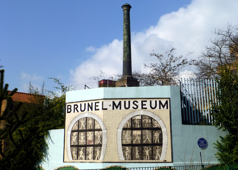
The Brunel Museum, as seen from Railway Avenue. |
Canada Water is a modern station which dates from the 1990s. It was specially added to the (then) East London Line as part of the Jubilee line extension to Stratford. Especially in the rush hours this station becomes very crowded with many passengers interchanging with Jubilee line trains (these photographs were taken at quieter times of the day).
Although not seen in these photographs the Overground platforms include some pink Oyster / Contactless card readers so that passengers not travelling via Zone 1 can benefit from cheaper fares.
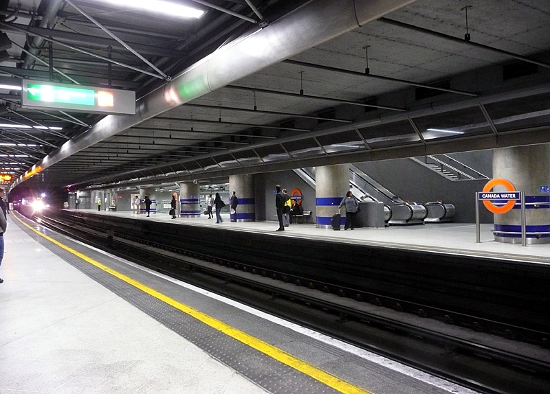
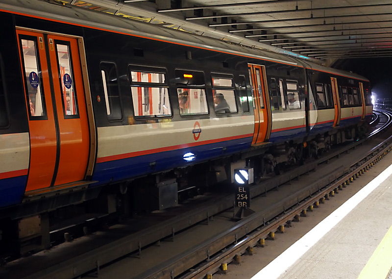
The view on the right also shows the banner repeater signal for a signal that is less visible until the train has almost reached it.
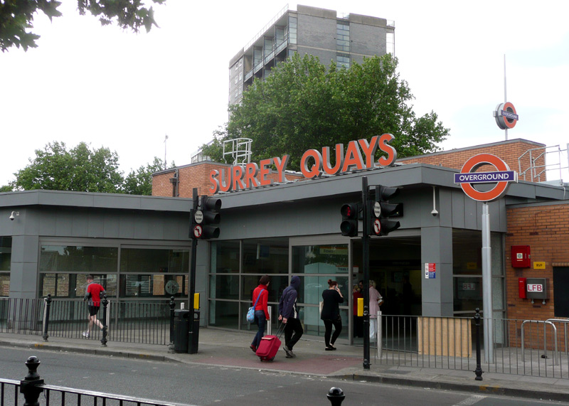
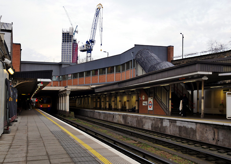
Very close to here is the Surrey Quays shopping centre which has about 40 shops, restaurants, free toilets and a large Tesco superstore.
This is very much a neighbourhood shopping centre that is used by local people, but of course visitors to London will be welcome as well.
For more information visit this website
http://www.surreyquaysshoppingcentre.co.uk/ .
After Surrey Quays station trains to Clapham Junction branch off towards Queens Road Peckham station (more information below) and trains to New Cross branch off towards that station whilst trains to Crystal Palace / West Croydon continue to New Cross Gate where they merge with a four track section of railway which extends all the way to Norwood Junction.
This part of south London is also served by trains operated by Southern from Central London terminus stations (eg: London Bridge and Victoria;) passengers paying their fares in PAYG mode should note that these other trains charge higher fares.

Class 700 Thameslink train passes a Class 378 London Overground train on the four track section of railway at Brockley station.
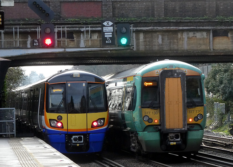
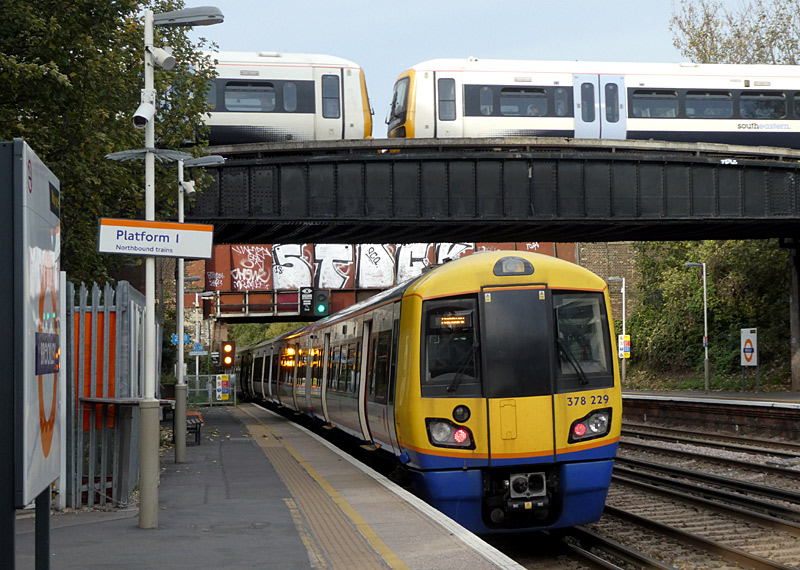
The London Overground [and Southern trains which call at intermediate stations] use the outer two tracks whilst the centre pair of tracks are used by fast Southern and Thameslink trains.
Right: Another fortunate occurrence at Brockley station - a SouthEastern Class 465 train passes above a departing Overground train.
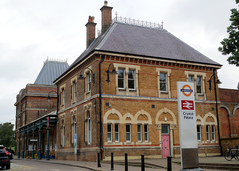 |
|
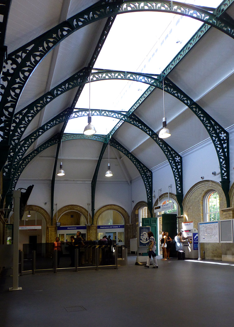 |
|
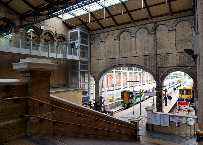 |
This is a much-loved Victorian-era station. Nowadays only some platforms are used, with part of the station closed to passengers.
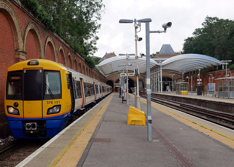
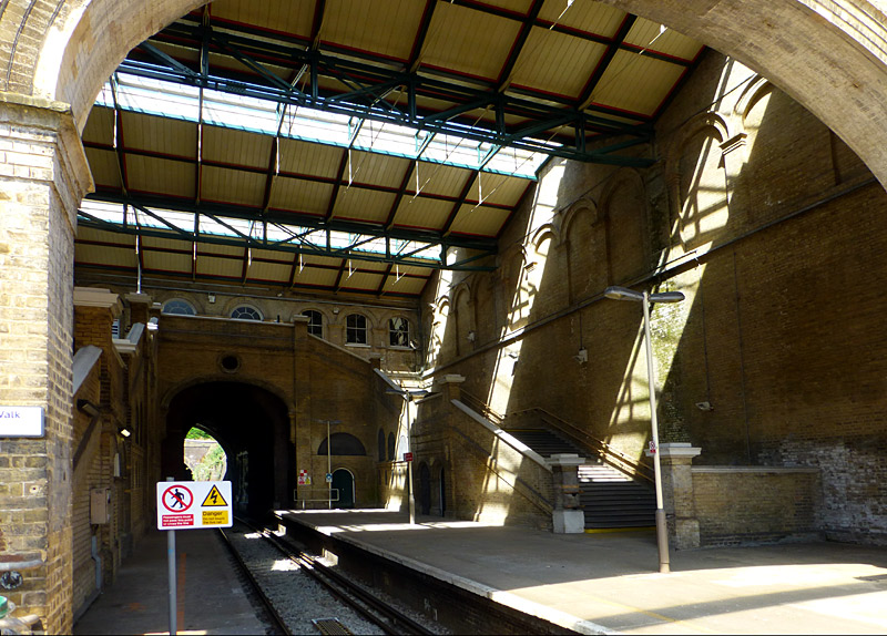
There used to be two stations at Crystal Palace, the other station was on a completely different route and was called Crystal Palace High Level. This name reflects the
hilly nature of the local area and the station being at a higher elevation. This station was so close to the glass building known as Crystal Palace that it was possible to give passengers
who had travelled first class their own private entrance to the Palace!
However after the Crystal Palace was destroyed by fire in 1936 far fewer passengers were using this station and with air raid bomb damage during WW2 forcing the temporary
closure of entire branch line passenger numbers declined even further. Although temporary repairs allowed the line to be reopened it was decided that passenger numbers were
too low to justify expensive permanent repairs and despite it being served by electric trains British Railways closed the entire branch line in 1954.
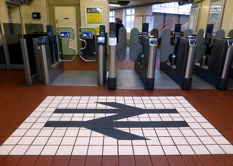

on a stairway intermediate landing - this is to discourage passengers from running whilst descending the stairs.
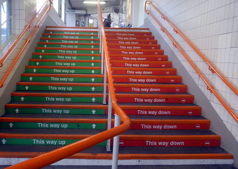
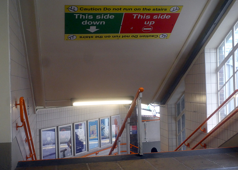
to only use one side of the steps depending on direction of travel.
To the south of Surrey Quays trains travelling to / from Clapham Junction use a section of railway which had been closed for many years but was re-opened for this service. At some stage in the future a new station will be built here.
Queens Road Peckham - Wandsworth Road is part of the former South London Line (SLL). Much of this route is elevated on brick arch viaducts.
Extending London Overground trains from Surrey Quays to Clapham Junction resulted in the closure of the SLL service between London Bridge and Victoria stations on the route via Denmark Hill. This ending of through SLL trains caused severe inconvenience to some former SLL passengers who must now travel longer, slower routes and change trains (at least once) and / or catch buses to complete journeys which could previously be accomplished on just the one train.
Note that there is still a through service between London Bridge and Victoria stations, however this travels a different and longer route via Crystal Palace.
The view from the train window between Denmark Hill and Clapham High Street will interest people who wish to see 'real' London away from the tourist areas but at the same time feel safer not walking the streets. Especially not with cameras visible for everyone to see.
Clapham High Street Overground and Clapham North Underground stations are designated interchange stations. Passengers who wish to change trains here and are paying their fares in PAYG (pay as you go) mode can take advantage of the 'out of station interchange' feature (OSI) to be charged one through fare for their journey.
Local people will perhaps disagree, but Peckham and Wandsworth are two more of the 'inner city South London' areas which some people may prefer to avoid.
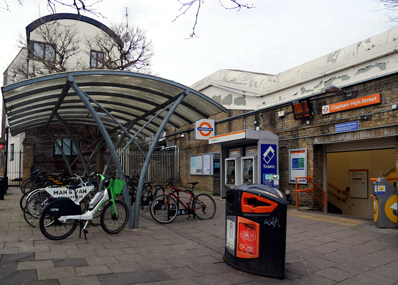
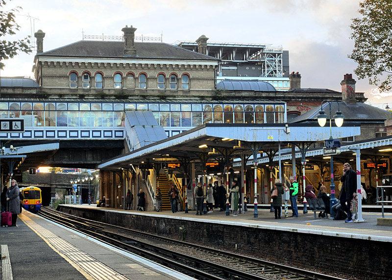
entrance is just a hole in the wall and the duty member of staff
has a small cabin on the westbound platform.
departs from Denmark Hill station.
Filmed at twilight to better show the decorative platform lights.
Denmark Hill is a much-loved Victorian-era station which had to be rebuilt after a disastrous fire in 1980. Nowadays most of the station building is a pub called The Phoenix. Happily, there is a counter specially dedicated to railway passengers who can buy refreshments without leaving the fares paid area.
There are now two new entrances to this station, which is in a deep cutting. These are at street level, one each on either side of the tracks and closer to the bus stops. The new entrances feed into a new footbridge over the tracks with lifts and steps extending down to the platforms. This means that this station is also fully accessible.
Other trains seen calling at this station include SouthEastern Class 465 Networkers, Thameslink Class 700
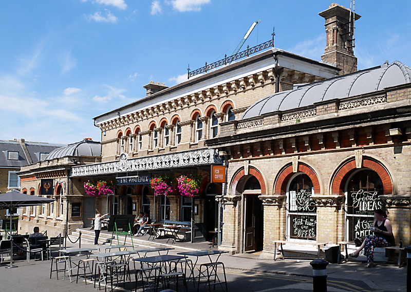
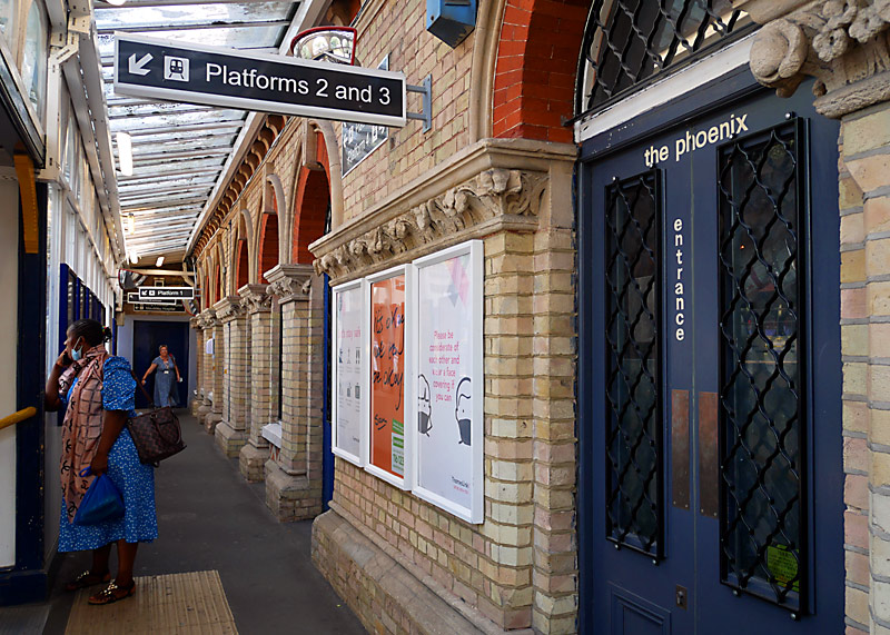
and the passageway behind this building with steps down to the platforms.
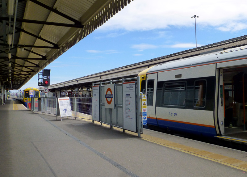
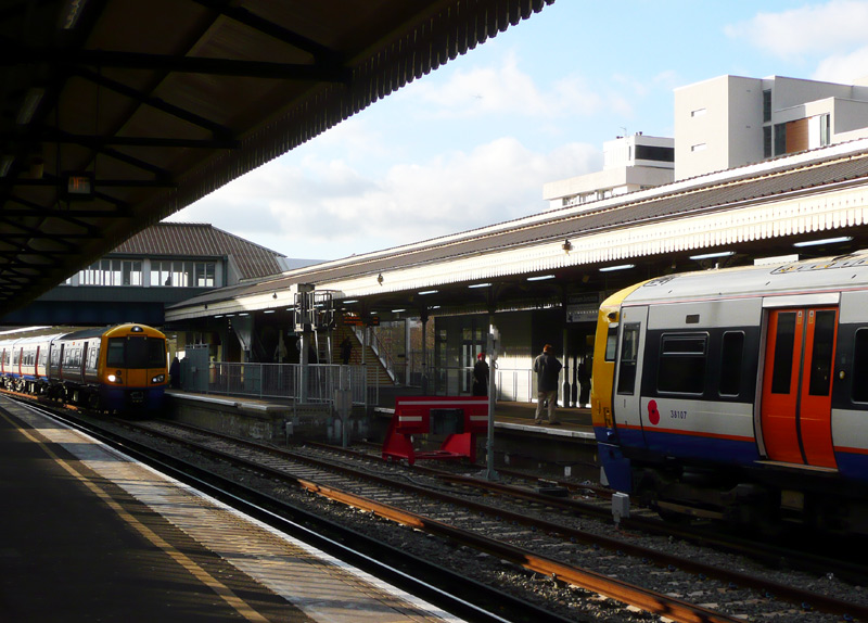
To make for an easy same-platform interchange between the two London Overground services at Clapham Junction the very long platform No.2 was split in to two sections with a platform extension added
over part of the track so as to effectively create a staggered platform face.
The train that uses the original platform face will be travelling via Willesden Junction [ie: west and north London - Mildmay line]
whilst the train that calls at the extended section of platform will be travelling via Canada Water [ie: south and east London - Windrush line].
This arrangement means that both trains can enter and leave the station at
the same time.
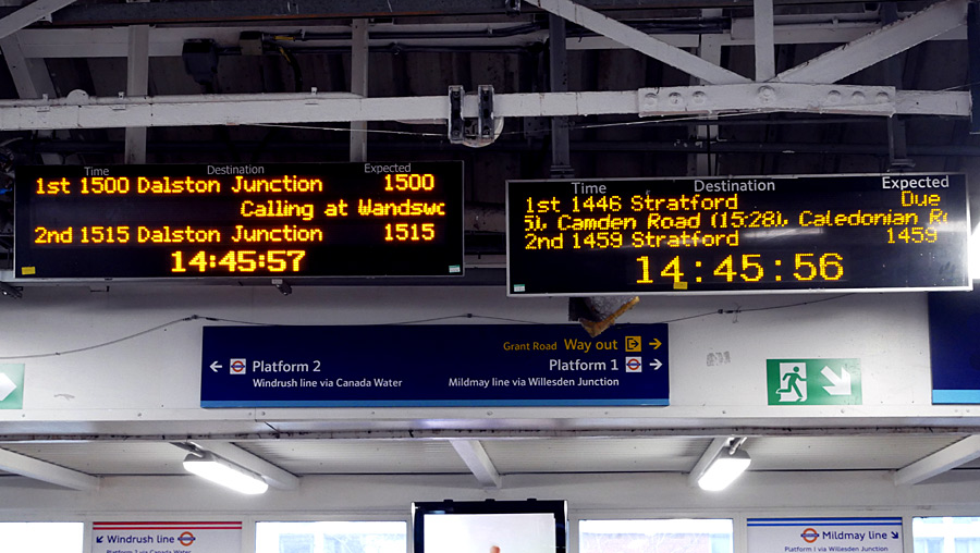
London Overground next train displays just before the
steps down to the platforms at Clapham Junction station.
Plus a logic-defying example of 'railway time'!!
| Gospel Oak - Barking Riverside 'Goblin' / Suffragette line |
- This service links Gospel Oak station in north London with Barking Riverside station in east London.
For many years this was a neglected branch line which had an infrequent train service but since the formation of the London Overground network it has been completely transformed. Nowadays it is served by Class 710 electric trains on a 15 minute / quarter hourly frequency. Although the line is electrified using the 25Kv AC overhead wire system it uses twin-system trains which can also operate via a 750v DC third rail. This is because the same fleet of trains is also used by the Euston - Watford Junction / Lioness line which is powered via electric rails.
The Goblin Line is also a busy freight route
Much of this route is on elevated brick arch viaduct which offers a good view of the local areas and back gardens.
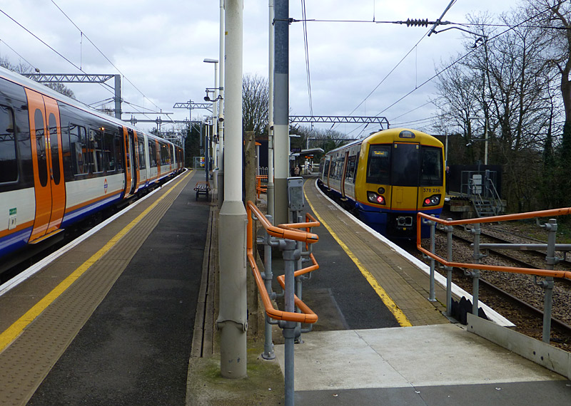
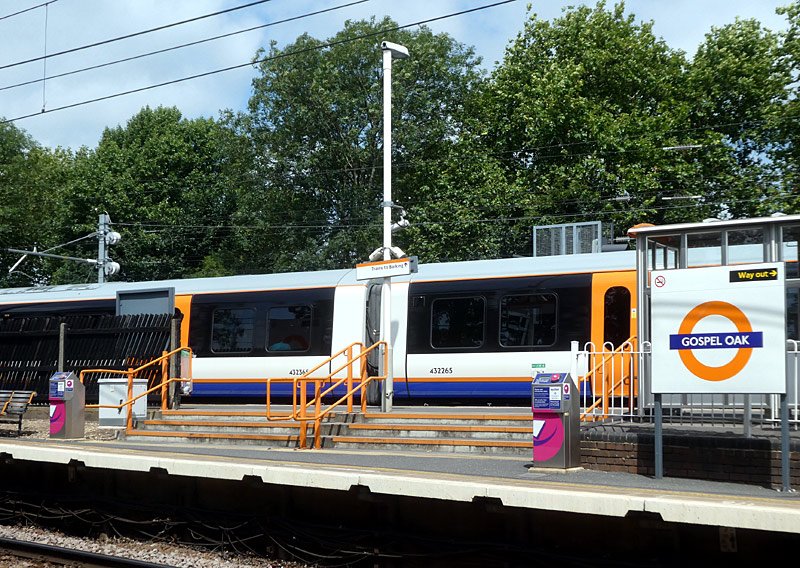
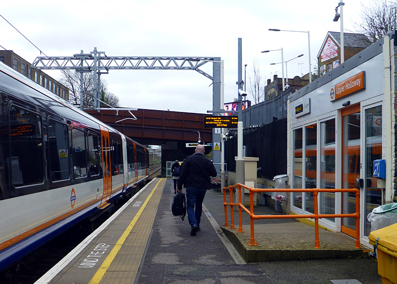 |
|
 |
|
 |
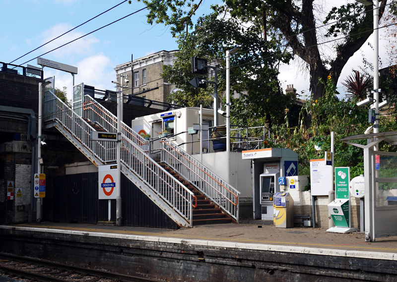
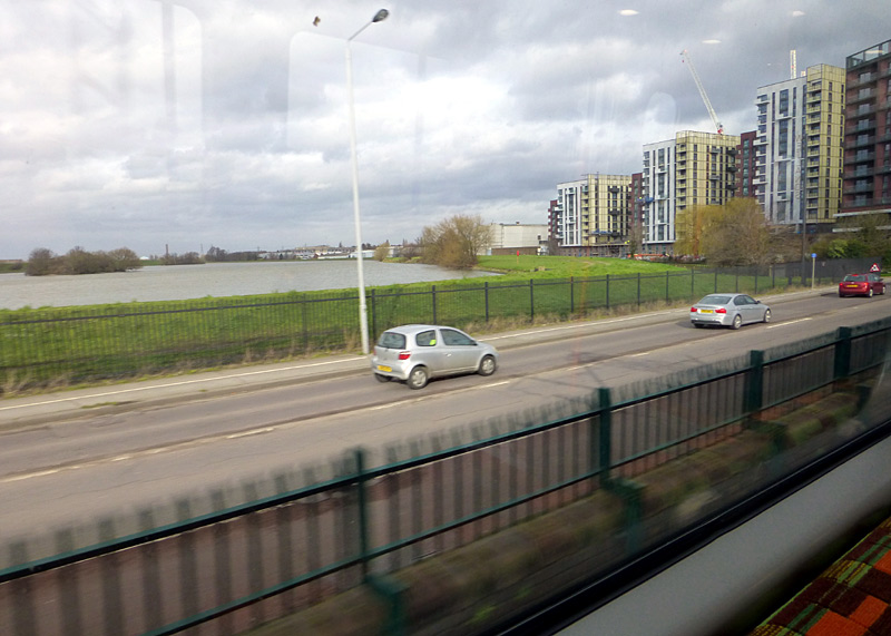
The Walthamstow Reservoirs (which includes the High Maynard Reservoir) are also a nature reserve which can be visited - this link explains more:
https://www.wildlondon.org.uk/nature-reserves/walthamstow-wetlands
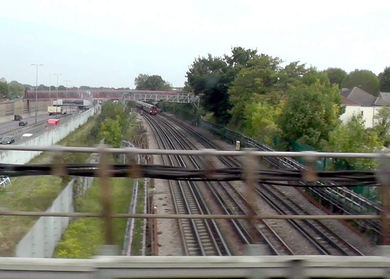
between Leyton Midland Road and Leytonstone High Road stations.
Leytonstone station. A westbound train is visible in the far distance.
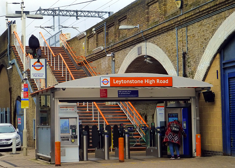
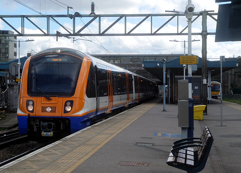
Leytonstone Underground and Leytonstone High Road Overground stations are designated interchange stations. Passengers who wish to change trains here and are paying their
fares in PAYG (pay as you go) mode can take advantage of the 'out of station interchange' feature (OSI) to be charged one through fare for their journey.
However, they must walk the whole
way - the distance between the two stations is far enough apart to be able to catch a bus (along Leytonstone High Road) but if this is done then it will break the 'single train fare' feature of the OSI.
| New Extension |
In 2022 this route was extended from the busy Barking station to a brand new station (called Barking Riverside) which had been built to serve a new residential area near to the River Thames.
The former terminus platform at Barking (Platform No. 1) enjoyed cross-platform interchange with eastbound District line trains heading towards Upminster. This platform is been retained, partly because some Goblin / Suffragette line trains sometimes still use it but also because it is the only platform at this station which has a lift - and when used in conjunction with the pedestrian underpasses that link all the other platforms it makes Barking station fully accessible. Goblin / Suffragette line trains normally now call at platforms Nos. 7 & 8 - see image above.
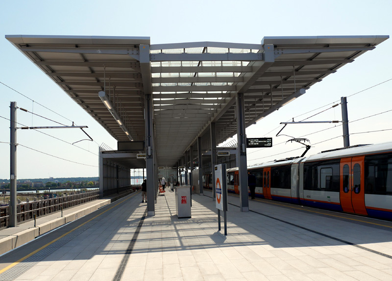
The space below the elevated island platform includes:
the station entrance, ticket sales area (ticket machines only),
space for railway staff and a weather-protected cycle parking.
weather protection that extends partway along the platform.
The lifts and stairs are at the far end of the platform.
| West Anglia / Weaver line |
- This comprises a group of three services. They are all powered via 25kV AC via overhead wires and use Class 710 trains.
‣ Liverpool Street station - Enfield Town
‣ Liverpool Street station - Chingford
‣ Liverpool Street station - Cheshunt via Seven Sisters (NOT the service via Tottenham Hale)
The desire is that all services from Liverpool Street will operate at least every 15 minutes but because these are busy routes which are also used by other trains and there is not always enough track capacity so sometimes trains are less frequent.
The core section of the West Anglia / Weaver line service is between London Liverpool Street and Hackney Downs stations, and in addition to trains operated by London Overground this route is also used by trains operated by Abellio Greater Anglia (AGA). The types of train typically operated by AGA includes Classes 720 and 745 - the latter on the Stansted Express airport service.
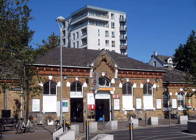
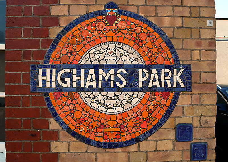
This is also a designated interchange with the Goblin / Suffragette line station named Walthamstow Queens Road. Passengers who wish to change trains here and are paying their fares in PAYG (pay as you go) mode can take advantage of the 'out of station interchange' feature (OSI) to be charged one through fare for their journey.
has one of these beautiful mosaic station name signs.
In addition to the usual clickable larger version of the image there is
an extra large image showing just a portion of the mosaic
and thewords in some of the individual mosaics that created the entire sign.
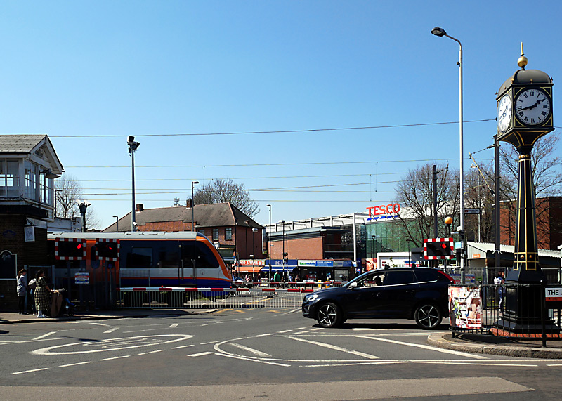
on the platform used by trains to London Liverpool Street station.
also seen here are the former signal box (left) and clock tower.
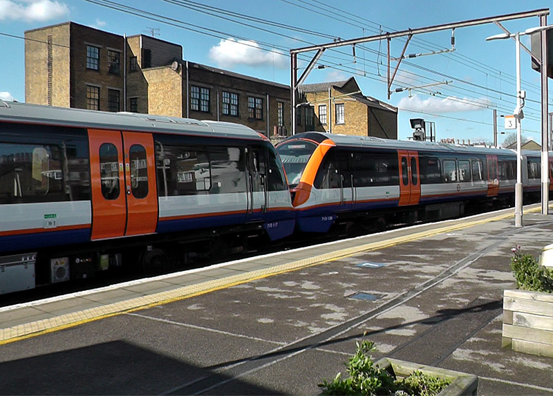
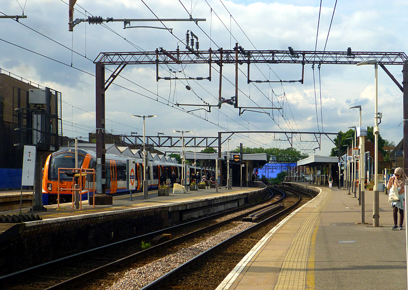
operate together as an eight (8) carriage train.
This 'middle of train' view was taken at Hackney Downs.
Chingford route trains use the tracks and platforms on the right.
Just to the north of Hackney Downs station the routes to / from Enfield Town and Cheshunt diverge to the left and the route to Chingford diverges to the right.
Also seen passing through this station (without stopping) are Greater Anglia Class 720 trains and the Stansted Express service which usually uses Class 745 trains.
To the south of here are London Fields and Cambridge Heath. These two stations only have platforms alongside the tracks used by Enfield Town and Cheshunt trains - so Chingford route trains usually travel non-stop between Hackney Downs and Bethnal Green.
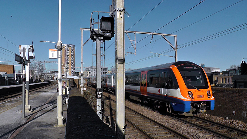
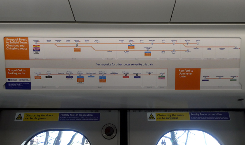
Liverpool Street stations pass by London Fields station.
Because of the track layout only trains to / from Cheshunt and Enfield Town can use the tracks that allow them to call at this station.
and Romford - Upminster / Liberty line..
| Romford - Upminster / Liberty line |
- This is a single track quiet country branch line which uses just one train that provides a 30 minute service. There is no service in the evening after 8pm (20:00) or on Sundays.
This service uses a Class 710 train.
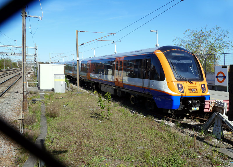 |
|
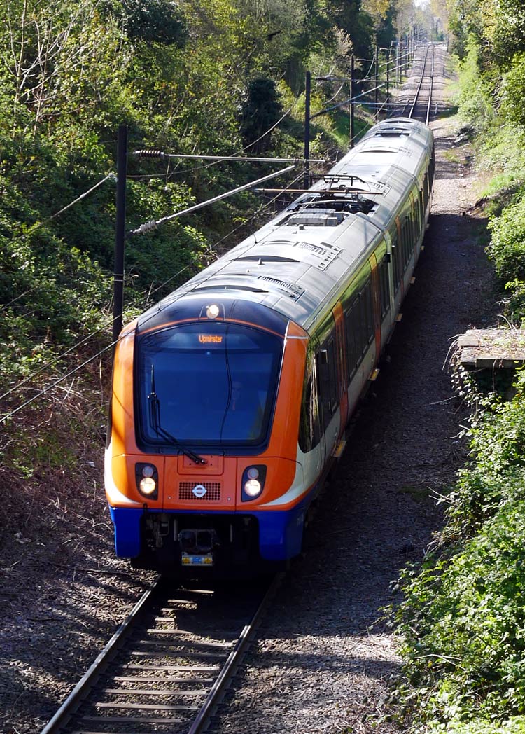 |
|
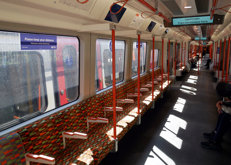 |
On the left is the four track Great Eastern Main Line which is used by Elizabeth line, Greater Anglia and various freight train companies.
Filmed through a chain link fence.
Middle: Approaching Emerson Park station on a journey from Romford to Upminster
Right: Inside a London Overground Class 710 train at Upminster station with a London Underground S7 District line train alongside.
| Overground To Expand Throughout London? |
In January 2016 it was announced that when the franchises for all other mainline / National Rail routes which serve London are renewed control of the urban / suburban services would be transferred to Transport For London, (TfL) who it was expected would have added them to the London Overground network.
However this did not happen. One reason was thought to be related to political tensions between the Mayor of London and the national politicians, who were from different political parties.
It was also known that not all passengers were pleased by this proposal - especially as experience with the London Underground Metropolitan Line suggested that TfL would be likely to change service patterns in ways which disadvantage passengers travelling from outside of London's political boundaries. (ie: make the trains call at more stations so that journeys from outside of London become slower and take longer). The issue is that many of these services are integrated into the mainline / national railway network whilst TfL's primary interest is serving people who live inside London's political boundaries. London's hinterland includes towns which whilst just outside of its political boundaries are still part of its socio-economic zone.
| West London Orbital |
A very likely new London Overground service will create a new suburban west London orbital link by combining some existing sections of railway which carry passenger services and restoring passenger services to two other sections of railway in which (at present) are only used by goods / freight trains. One of these is the Kew Bridge Spur which extends from Bollo Lane Junction (which is near South Acton station) to Kew Bridge station. The other line is known as the Dudding Hill line (or Dudding Hill loop). This extends from Old Oak Junction to Brent and Cricklewood Junctions on the Midland Main Line.
At present this proposed new service is being called The West London Orbital however it is thought likely that it will be renamed before services commence.
In the Acton area the Orbital trains will share the tracks with the Overground's North London / Mildmay line, with both services calling at South Acton and Acton Central stations (which are already open) as well as the future Old Oak Common (OOC) Victoria Road station, which will serve the High Speed 2 InterCity rail service. At present this station is under construction. (Dateline December 2024).
It is assumed that the trains on the Orbital service will be electrically powered and will not use batteries or any other technology that has not yet entered the public arena.
Therefore it is fortunate that much of the route the Orbital service will follow is already electrified. However the Kew Bridge Spur and the Dudding Hill line will need electrifying.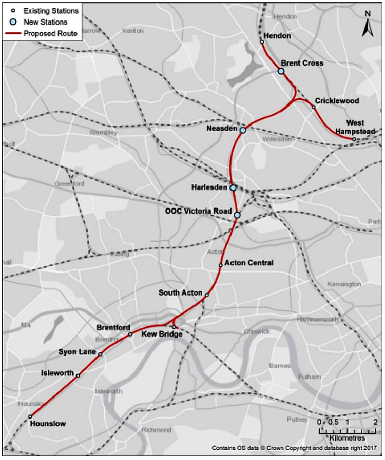
Map showing the route of the proposed West London Orbital railway.
Original source & license: WSP - West London Alliance https://wla.london/ Wikimedia / encyclopædia CC-BY-SA-4.0
https://commons.wikimedia.org/wiki/File:West_London_Orbital_Route_Map.png
As part of the North London LNWR Electrics network the Kew Bridge Spur was previously electrified (in 1916) on the 660V DC fourth rail system but lost its passenger services in 1940, as a wartime economy. It will probably be re-electrified at 750V DC third rail, as this system is now used on all other lines in this area.
By way of contrast, the Dudding Hill line will (most likely) be electrified at 25kV AC, this being the form of electrification that already exists on the Midland Main Line.
The North London / Mildmay line already uses twin-system trains, with the changeover taking place whilst calling at Acton Central station. A likely cause of friction with the local community here is that there is a level crossing right next to the station and the barriers are lowered not just for the station stop but for a while before the train has even arrived at the station. Even with just four trains an hour (per direction) the time duration involved causes considerable delay nuisance. If the Orbital service increases train throughput to 12 trains an hour (per direction - 48 trains in total, plus the occasional other train) and the station stops with barriers down last even 2 minutes each - local people are likely to become very displeased with the barriers being down for so much time.
How the new service will be integrated with existing services remains to be seen. At least one pundit has suggested that the wider ranges of interchange possibilities will make Feltham a better south-west London terminus than Hounslow. But Feltham is outside of the Greater London political area. Meanwhile, for north-west London it is thought that sending trains to West Hampstead will actually duplicate the far easier interchange possibilities that already exist with North London / Mildmay line trains in the Acton area. However, removing this part of the planned new service will deny passengers the option of interchanging with the Jubilee line's station at West Hampstead.
As an aside, between 1878 - 80 the Dudding Hill line was used by trains on the Super Outer Circle service which was operated by the Midland Railway and ran between St Pancras and Earls Court stations via Cricklewood, the Dudding Hill line, South Acton and Hammersmith. The section between Hammersmith and Earls Court saw Super Outer Circle trains travelling over tracks owned by the Metropolitan District Railway - which nowadays is the Underground's District line.
|
| Elizabeth Line (Crossrail Line 1) |
|
Crossrail as a name in the London context refers to two (or three) new subterranean railway lines which will travel across central London and in the suburbs extend over existing heavy rail routes. The primary aims are to increase passenger capacity to attract more people to travel by train and reduce overcrowding on London's existing railways. The concept of introducing trains to the many areas which are remote from any railway service is seen as a secondary (less important) side effect.
The plan is that all the Crossrail deep level 'tube train' tunnels will be large enough for full size main line trains and operated as part of the main line / 'National Rail' network - not London Underground trains.
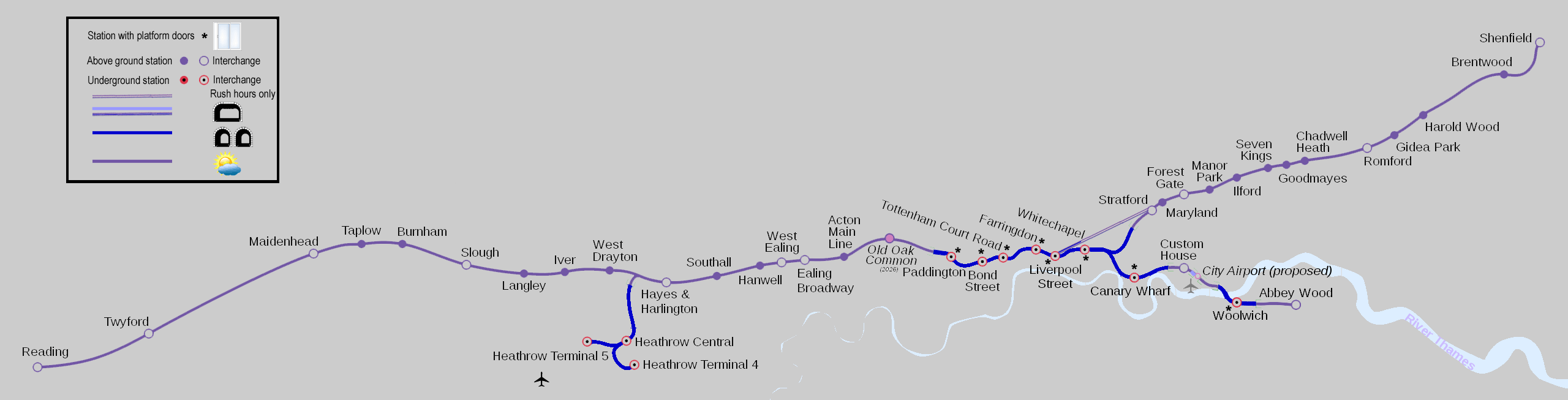
Map modified by me, original source & license: David Arthur / Wikipedia encyclopædia CC-BY-SA-2.0-CA https://commons.wikimedia.org/wiki/File:CrossrailLine1Map.svg
The map includes two stations which are not yet open, more about these stations is explained elsewhere on this page.
Click map to see larger version in a new window!
| General Information |
To make life easier for passengers Crossrail line 1 has been given a name, in the same way that London's underground lines also have individual line names - The Elizabeth line
The Elizabeth line comprises three sections of railway:- The Great Western Main Line:
To the west of London from Reading / Heathrow Airport to new underground platforms deep under Paddington station.
Three of the busier stations along this route are also served by trains operated by Great Western Railway (West Drayton, Hayes & Harlington and Ealing Broadway) - at Paddington these trains use the existing surface station. Other trains operated by GWR travel far beyond London to Bath, Bristol, Cardiff, South Wales / Penzance - West Country.
A short branch off this route leads to Heathrow Airport, this is served by Elizabeth line and the non-stop Heathrow Express trains. - A (mostly) new-build section of railway:
This section of railway is between Paddington station in west London and Abbey Wood which is on the southern side of the river Thames in south-east London. It passes below the centre of London and then extends via Liverpool Street station, Whitechapel, London's second financial district on the Isle of Dogs (Canary Wharf), the Excel exhibition centre (Custom House), the historic refurbished 1878 Connaught Tunnel and the historic dockyard area of Woolwich. - The Great Eastern Main Line:
To the east of London this route starts at Liverpool Street station although most Elizabeth line trains join it via a link between Whitechapel and Stratford stations. Elizabeth line trains travel as far as Shenfield. Because of the very high numbers of passengers using this section of railway some Monday - Friday rush hour trains continue to travel to / from the surface Liverpool Street station.
This route is also served by Greater Anglia whose trains then travel far beyond London to Southend On Sea / Chelmsford, Colchester, Ipswich and beyond. Most Greater Anglia trains call at Stratford, a few also call at Romford and Shenfield and passengers for these stations benefit from significantly shorter journey times than when travelling on Elizabeth line trains.
The new-build section opened to passengers on 24th May 2022, and on the same day the historic western and eastern sections were renamed from TFL Rail to Elizabeth line.
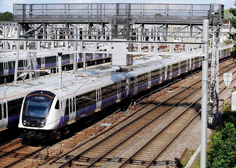
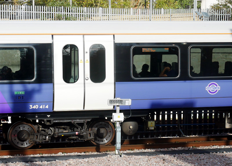
Filmed from a footbridge over the railway and depot between Ilford and Seven Kings stations.
This eastbound train had stopped just outside the west London tunnel mouth, this location is an easy walk from Royal Oak Underground station.
| Below / Above Ground |
Entirely below ground in central London (just to the west of Paddington station - just to the west of Stratford station). But above ground on the pre-existing sections of railway to Reading via west London and to Shenfield via east London.
The Abbey Wood route rises to the surface a little to the west of Custom House station but includes two more underground sections in Docklands and when passing below the River Thames.
The Heathrow Airport route is above ground from Paddington until it reaches the airport area, from where it is wholly underground.
| Claustrophobia |
Information for people who are happy to travel on trains which are above ground but experience claustrophobia
when in tunnels.
West London passengers can avoid the tunnels to Paddington station by travelling on Great Western trains to Paddington station. Unfortunately since 2023 all GWR trains run non-stop between Slough and Paddington and hence no longer stop at any suburban stations in London.
East London passengers can avoid the tunnels to Liverpool Street (via Whitechapel) by travelling on Greater Anglia trains between Stratford and Liverpool Street. But note that part of Liverpool Street station has been built over so is not fully in daylight and some of the approach route has also been built over - but this is many tracks wide, so it feels more travelling below a wide bridge than in a tunnel. These comments also apply to the 'rush hours only' Elizabeth line trains which travel direct between Stratford and Liverpool Street stations.
| Impressive Station Architecture |
The new-build Elizabeth line stations include much impressive architecture which in many ways totally redefine the 'beingness' of an underground railway station. There is far too much to show everything but this web page offers a selection of views.
Most of the new station buildings feature works of art, only some of these are detailed on this page, more information can be found here:
https://www.crossrail.co.uk/
Most underground Elizabeth line platforms are very deep and many of them require passengers to use two flights of escalators between the street and the platforms.
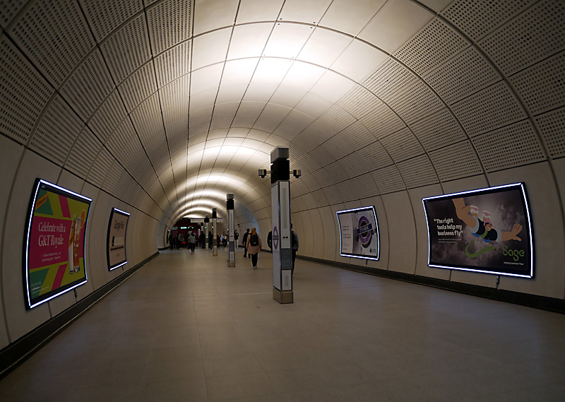 |
|
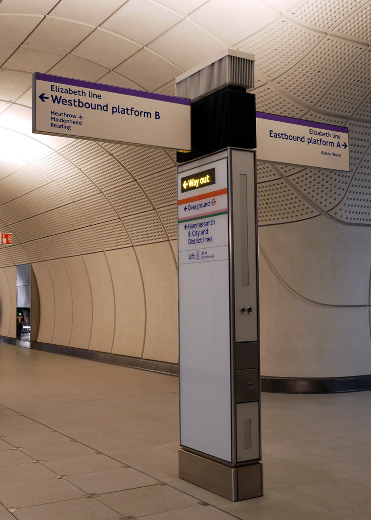 |
|
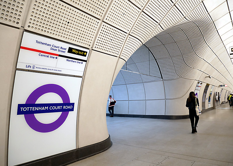 |
wayfinding signage with integral uplighters for passageway lighting and smooth inside curves where tunnels and passageways meet.
The two outer views come from Tottenham Court Road station. The middle view comes from Whitechapel station.
| January 2024 Update |
The choice of white walling at some of the brand-new stations was great but barely a year after services had began ghostly shadows had began to form where passengers who were seated whilst waiting for a train were leaning back on to the platform walls.
The affected stations were Bond Street, Tottenham Court Road, Farringdon, Liverpool Street and Whitechapel.
The solution adopted at the first four stations was to install body-shaped geometric patterns based upon the colours of the services that call at the station on the white wall. Whitechapel adopted a different solution which is seen below.
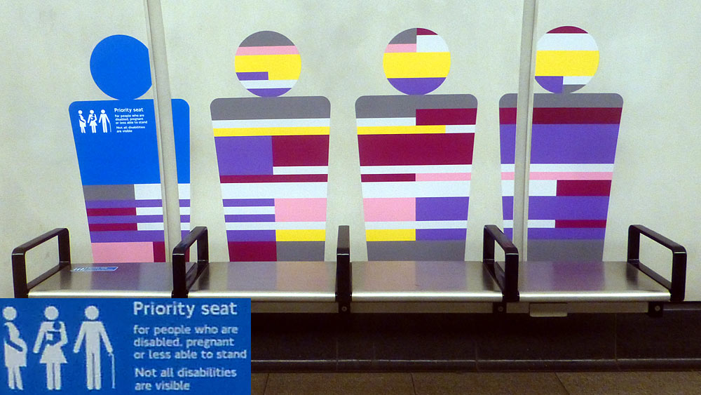
waiting passengers leaning back on the wall.
based on the colours of the lines that serve this station.
| June 2024 - More Trains |
Because of increasing passenger demand another ten Class 345 trains are to be built so that services can be increased.
Whilst the stated reason for the new trains is true it is not the whole story.The national government politicians agreed to provide funds for the new trains during a general election campaign. This is a time when politicians hoping to be re-elected are traditionally very keen on performing actions that show them in an especially good light. In addition, the factory which builds these trains was experiencing a downturn in orders for new trains, so it being awarded the contract to build these new trains at this specific time was seen as being important for ensuring continued employment of many thousands of people who work in the train-building factory ... and at countless other businesses in the extended supply chain.
| Central London Core Stations |
A brief look at each of the stations Paddington - Whitechapel. All of these stations already existed and have been upgraded for the new service.
Paddington
At Paddington the departures taxi rank was relocated so that a brand-new 20 metre deep cut'n'cover box-style station could be dug out of the ground alongside (close to platform 1) the existing Network Rail main line railway station.
A 120 metre long steel and glass canopy provides weather protection over the 'hole in the ground' whilst also allowing daylight to filter down into the ticket hall.
Located 10 metres above ground this canopy is decorated with every known type of cloud formation. Called Cloud Index and created by Spencer Finch this artwork is intended to mimic the ever-changing sky.

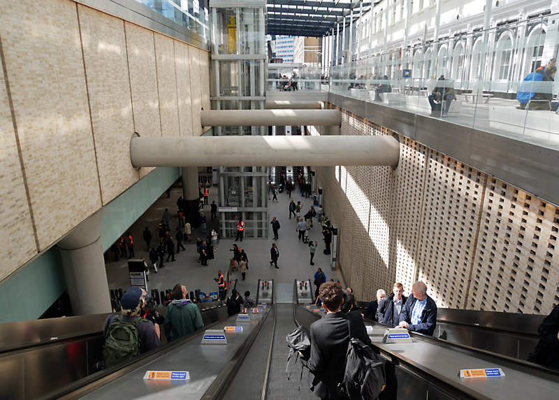
This 2025 image also shows the metal barricades that were added at a later date to 'encourage' certains groups of people to use the lifts.
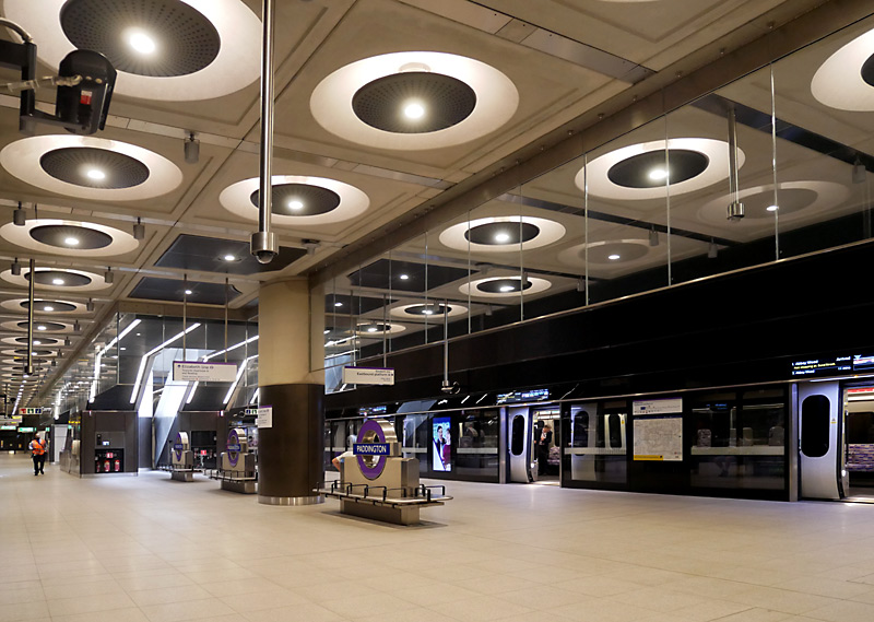
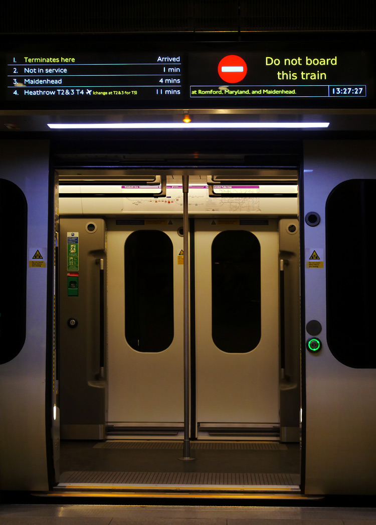
new underground Paddington station.
The Elizabeth line platforms include a fully accessible walking interchange passageway with the deep-level Bakerloo line platforms.
The 'out of station interchange' (OSI) facility on the PAYG smart card ticketing system means that interchanging passengers will still be charged a simple through fare for their entire journey - but only if they do not take too long to walk between exit and entrance card readers - in most cases the time limit is 20 minutes when walking towards London Underground ticket gates and 40 minutes when walking towards National Rail ticket gates.
This time difference is because National Rail trains are less frequent and passengers may have to wait a while before being informed from which platform their train will depart.
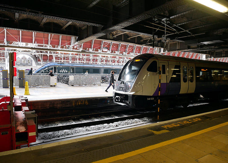
A small number of early morning / late evening Elizabeth line
trains still serve the main National Rail Paddington station.
Bond Street
At Bond Street two brand new station buildings with ticket halls have been built at opposite ends of the station platforms.
The Western ticket hall is in Davies Street close to the West One Shopping Centre and the existing London Underground station.
The Eastern ticket hall is in Hanover Square and is so close to Oxford Circus station that passengers are allowed to use the Oyster PAYG / smartcard ticketing system 'out of station' interchange facility to change between the trains at these two stations and (providing they do not take too long) they will be charged for one seamless through journey. This will especially benefit Victoria line passengers as this line does not have any other interchange stations with the Elizabeth line.
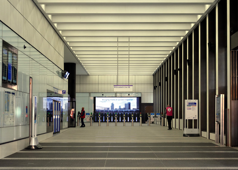
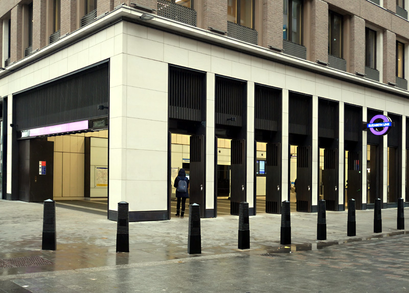
and high ceilings with semi-recessed lighting. Davies Street is on the left and Hanover Square on the right.
The Davies Street entrance includes three artworks by Darren Almond:
- Horizon Line: This is located above the ticket hall end of the escalators between here and the intermediate landing. This comprises a large grid of fragmented numbers cast in 144 individual hand-polished aluminium tiles.
- Time Line (From Under The Glacier) is seen by passengers ascending the escalators from the intermediate landing which includes the interchange passageway to the Jubilee and Central lines.
- Shadow Line (Reflect From Your Shadow) is located above the escalators down to the Elizabeth line platforms from the intermediate landing which includes the interchange passageway to the Jubilee and Central lines.
Time Line and Shadow Line draw upon the tradition of naming early British locomotives with cast bronze nameplates, although here the aim is to offer (quote:) poetic phrases that offer a philosophical proposition to each passerby.
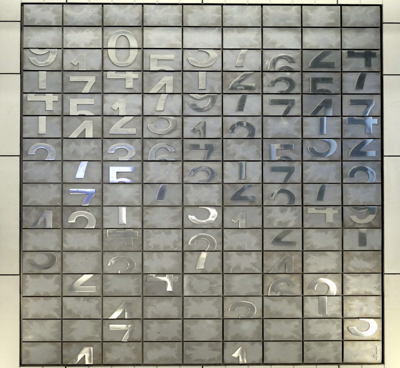 |
|
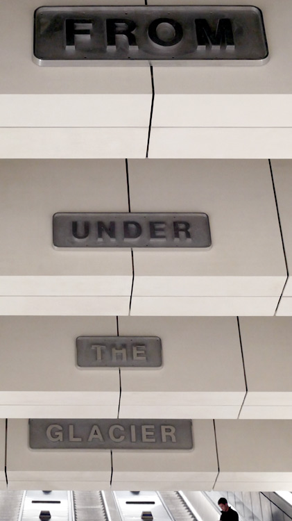 |
|
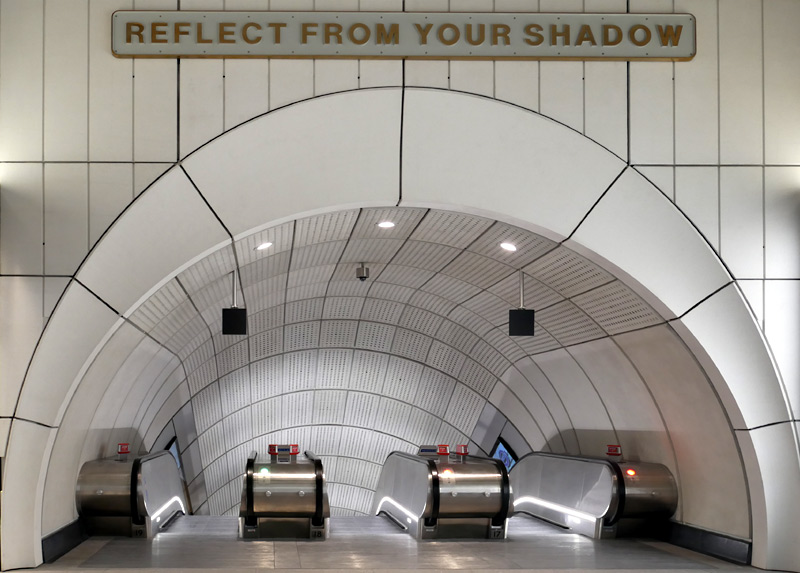 |
Tottenham Court Road
At Tottenham Court Road station the Elizabeth line also has two ticket halls located at each end of the station platforms. The western ticket hall is brand new and located partway along Oxford Street - with its location officially described as being in Dean Street, Soho. This ticket hall only serves Elizabeth line trains.
The eastern ticket hall is not brand new as it has served the Central and Northern lines for many years. However it was very cramped and at busy times became very crowded. So it was completely rebuilt and enlarged at the same time as the construction of the Elizabeth line. This ticket hall is fully underground - reached via several brand new and much older street accesses. Its location is known as St Giles Circus but many people will know this as being the busy road junction where Oxford Street / New Oxford Street / Tottenham Court Road / Charing Cross Road meet.
The rebuilding of this station ticket hall caused much controversy because it entailed closing the much-loved Astoria theatre and removing distinctive mosaic tiling (by Edward Paolozzi) from the Central line escalator shafts and both Central and Northern line platforms. In 2022 a new theatre (called @SohoPlace) opened to replace the Astoria theatre. Some of the mosaic tiling still exists at older parts of the station but whilst the Central line escalators are still where they were before the rebuilding the mosaic tiling was not reinstated.
The eastern ticket hall includes a direct interchange link between Elizabeth and Northern line platforms. But not between Elizabeth and Central line platforms. This is because this facility already exists at Liverpool Street and Bond Street stations.
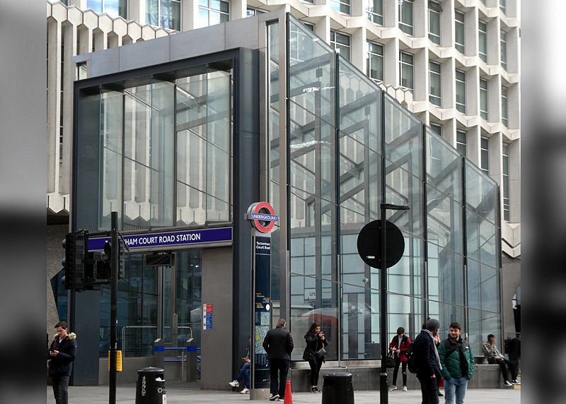
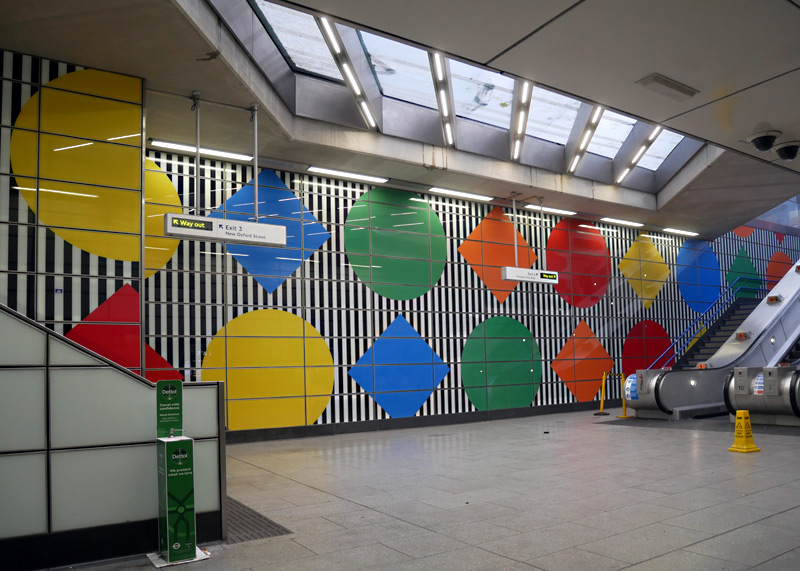
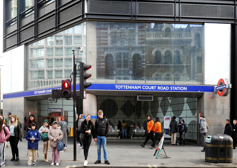
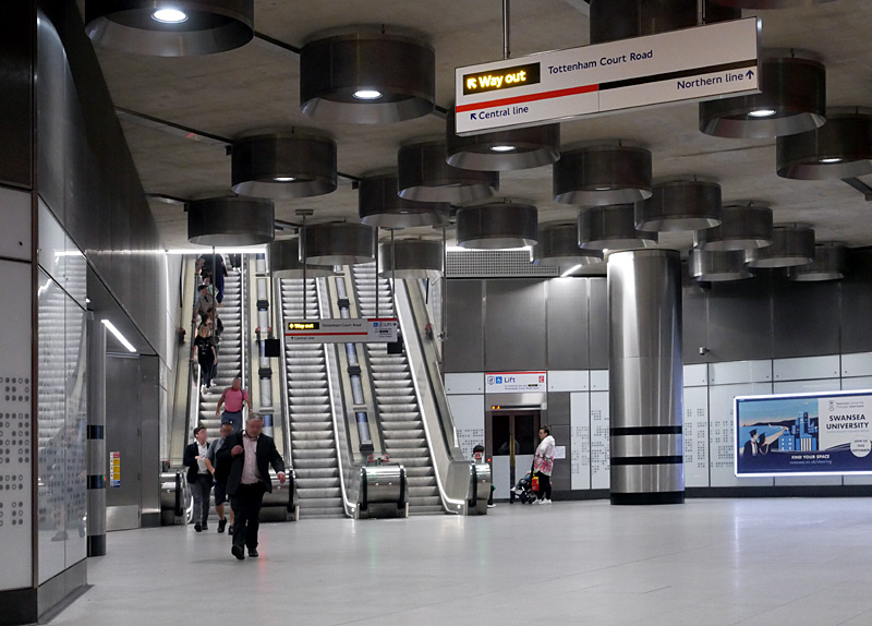
Shiny glass wall buildings are often highly reflective and this structure conforms to that rule. This explains why part of much older buildings on the opposite side of the road and Centerpoint Tower can also be seen.
Passengers are expected to use the direct interchange passageways between these two lines at Bond Street and Liverpool Street stations.
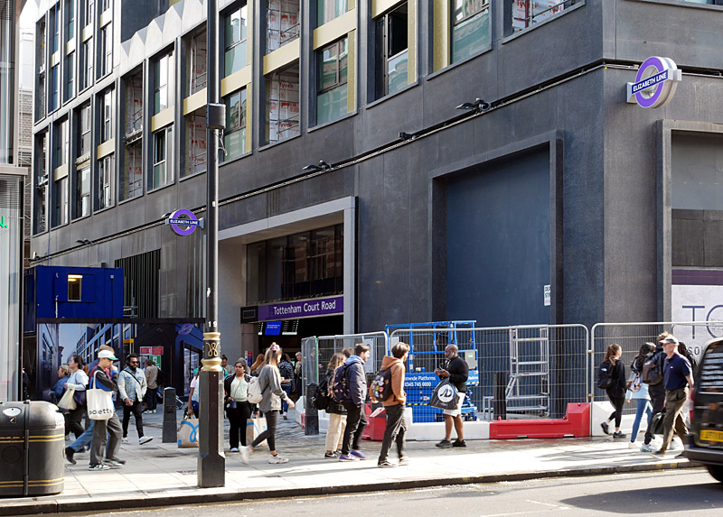
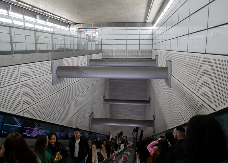
Note the black colour, apparently a design idiom - black was chosen to match the late night nature of many businesses in this area.
Also seen is the very deep escalator shaft with an accessibility lift (top left of the image) - quite literally a deep 'hole in the ground'!!
Farringdon
Farringdon is another Elizabeth line station that has two ticket halls located at each end of the station platforms.
The western ticket hall also serves Thameslink trains and is opposite the historic Metropolitan Railway station building.
The eastern ticket hall is brand new and located next to the historic Smithfield Market. The walking route between the Elizabeth line platforms and this ticket hall includes a direct lift access from the westbound London Underground platform at Barbican station. Anyone (whether a train passenger or not) who use this link to walk (rather than travel by train) between the stations will still be charged a Zone 1 train fare!
The new western station entrance at Farringdon is especially noted for its artwork which was created as a homage to the goldsmiths, jewellers and ironsmiths who work at nearby Hatton Garden, which is the centre of the UK jewellery trade.
The roof is formed of a 350-tonne precast concrete structure that is suspended in mid-air from a steel frame without the need for column supports. The geometry of the ceiling reflects the alignment of the Thameslink service and the Elizabeth line.
The back-lit etched glass artwork in the side wall glazing is named Avalanche. Created by British artist Simon Periton this comprises a frieze sequence of large diamonds, with the intricate features of each gem having been digitally printed in ceramic ink.
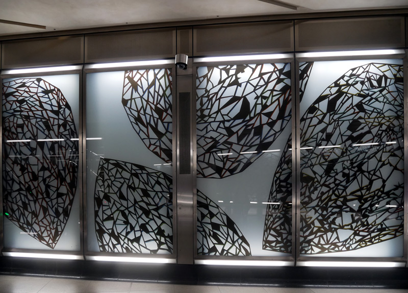
The side wall decorative glazing by Simon Periton
named Avalanche - as described left.
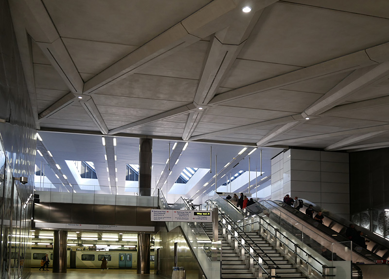
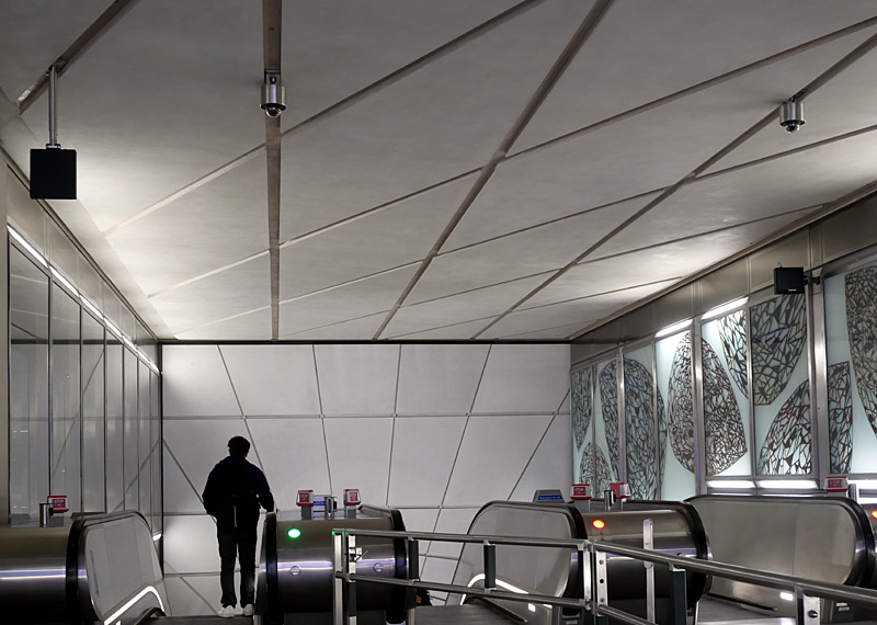
Left: This view also includes a Class 700 Thameslink train.
Right: This view also shows the roof over the top of the Elizabeth line escalator shaft.
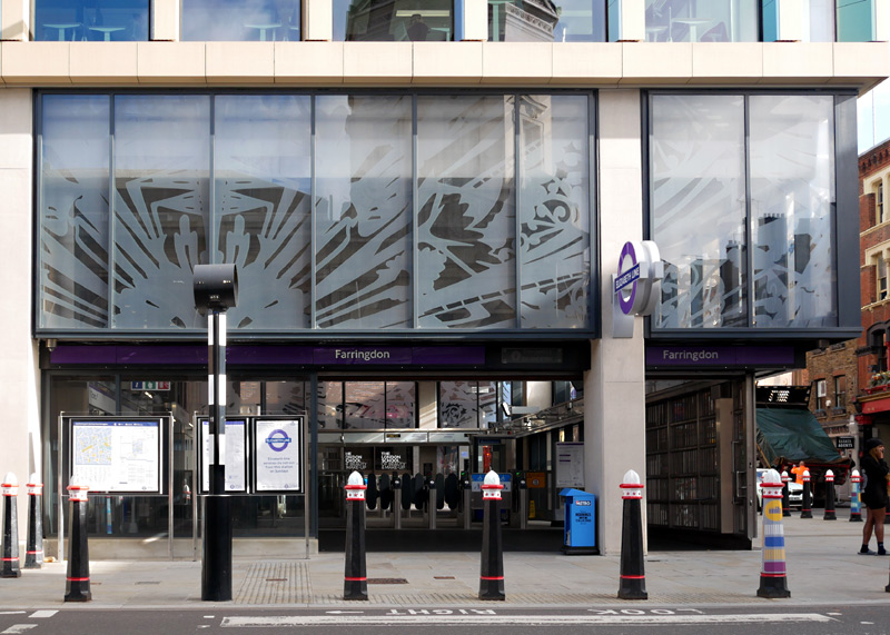
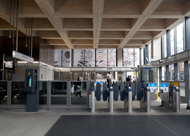
The exterior glazing artwork was also created by Simon Periton. The design features an intricate pattern that reflects the Victorian-era metalwork of the historic Smithfield market directly opposite the station building. The transparent artwork allows passengers to see through to the coffered ceiling - which is based on the Brutalist architecture on the nearby Barbican Centre.
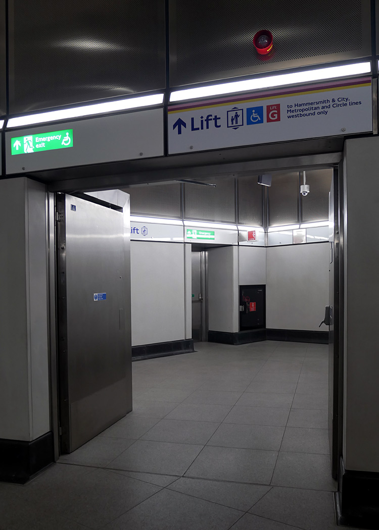
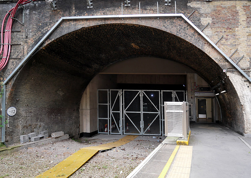
Right: The exit at Barbican station is directly on a former City Widened Lines part of an island platform that is also used by westbound Underground trains.
Liverpool Street
The Elizabeth line platforms at Liverpool Street station have three exits:
- Escalators / lifts to Liverpool Street Underground station, offering direct interchange with the Central, Metropolitan, Hammersmith & City and Circle lines plus (through ticket gates and more escalators) Liverpool Street National Rail station and a brand-new street entrance in Broadgate.
- Escalators / lifts to a rebuilt (enlarged) ticket hall at Moorgate, offering direct interchange with the Northern, Metropolitan, Hammersmith & City and Circle lines, National Rail Great Northern (suburban) plus (through ticket gates) exit to the street.
- A passageway (walking!) directly from the far western end of the Elizabeth line platforms to the Northern line platforms at Moorgate station.
The two exits which use escalators / lifts are at opposite ends of a long distributor passageway centrally located between the station platforms.
To an extent the interchange passageway between the Elizabeth and Northern line platforms is of questionable benefit, as many passengers will find it just as easy to interchange via the escalators / lifts and rebuilt Moorgate ticket hall. However this route can become very busy during the rush hours, and the large cave-like cavern with its very high ceiling part-way along the walking route creates an element of grandiose wonderment that counteracts the mundane blandness of the rest of the walking route. This cavern is seen further down this page.
Whilst it is also possible to enter the station from the street and use Elizabeth line passageways to walk between Liverpool Street and Mooorgate stations, people who walk (rather than travel by train) between the two stations will still be charged a Zone 1 train fare!
The ceilings in the new and rebuilt ticket halls include grooved and angled sections of pre-cast concrete panels. The reason for this is to create a greater sense of space and movement and to mimic the core design of the pinstripe suits which some city workers (especially in the banking / financial sectors) frequently regard as being a mandatory part of their dress code.
The construction works for the new station entrance and passageways also included allowing a period of time for an archaeological dig, during which time some ancient artifacts going back as far as the Roman era over 2000 years ago were discovered and recovered.
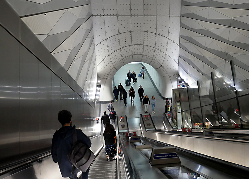
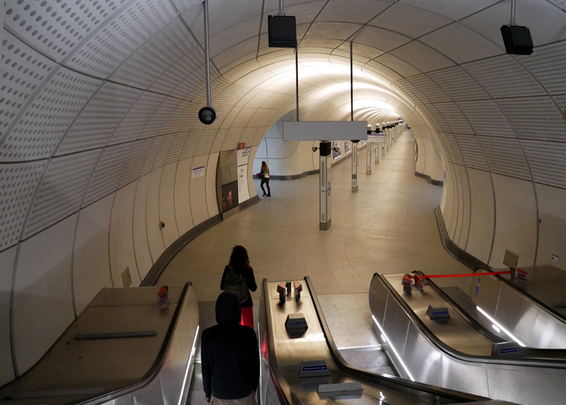
The escalator shaft on the left also has a glass wall inclined lift (see below for more information).
The escalator landing seen on the right forms the Liverpool Street end of the long distributor passageway centrally located between the station platforms.
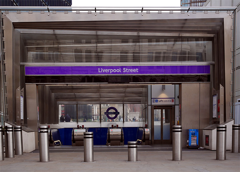
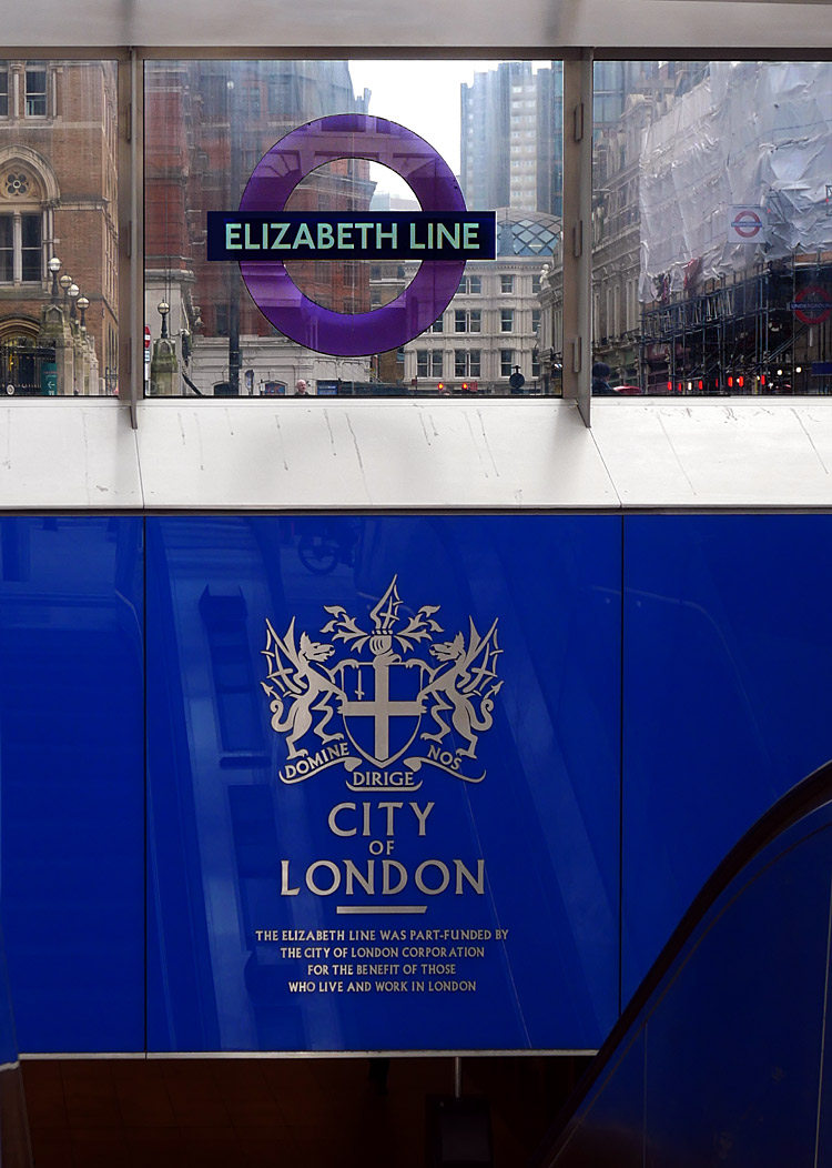
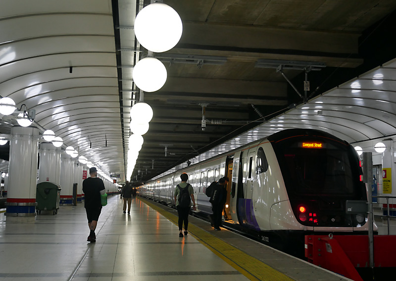
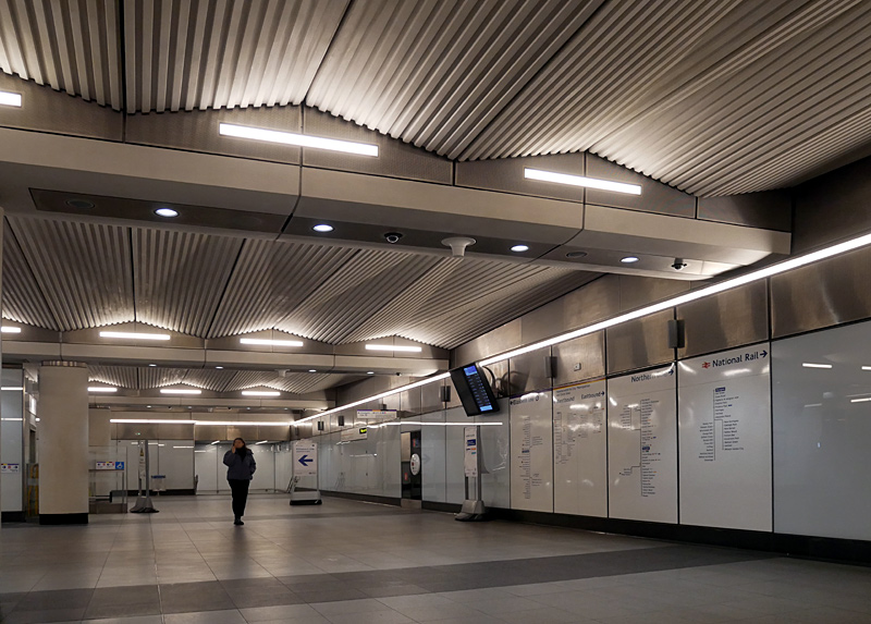
trains still serve the main National Rail Liverpool Street station.
Whitechapel
This very old station was extensively rebuilt and modernised as part of the Elizabeth line project. However the original 1876 entrance has been retained, renovated and cleaned so as to better match the heritage-style buildings in Whitechapel Road.
The rebuilding project included installing the new Elizabeth line platforms, a new (and much larger) ticket hall and gateline, improved interchange between the very busy Underground and Overground platforms and completely re-jigging the Underground station so that instead of four platforms for District / Hammersmith & City line trains there is now a very wide island with just two platform faces. A new cripple siding (for a failed train) was built near West Ham station to replace facilities removed from this station.
Whitechapel station adopted a unique solution to the issue of white-wall stations having ghostly shadows caused by seated passengers leaning back on to the wall whilst waiting for their train. This is by having large artworks (with clear glass or plastic screens) behind the central part of the seats and adding off-white covers over the two white side panals - as seen in the middle image below.
There was going to be a second ticket hall and station exit at the other end of the Elizabeth line platforms but this was cancelled so as to reduce the overall cost of the Elizabeth line project.
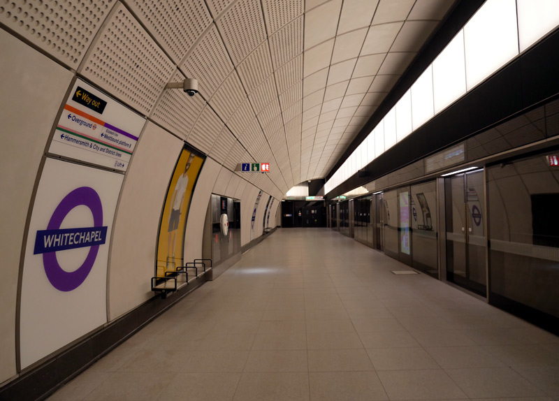 |
|
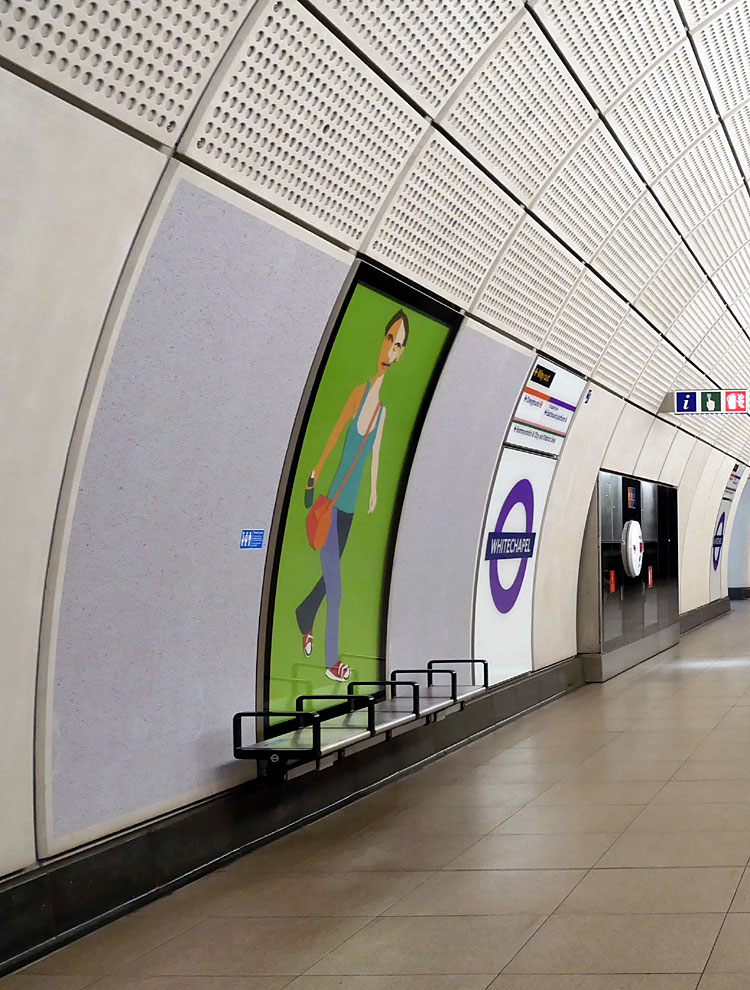 |
|
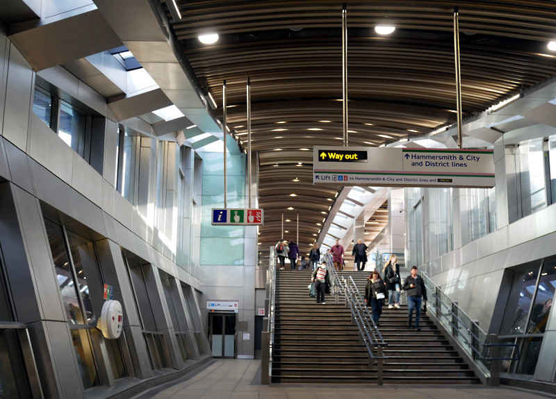 |
Left: A platform view filmed on the day that passenger services through the central London tunnels opened.
Middle: The same part of the platform showing the solution to the ghost image problem, as described in the text above.
Right: Brand new passageway leading from the Elizabeth line and London Overground platforms to the subsurface Underground platforms and station exit.
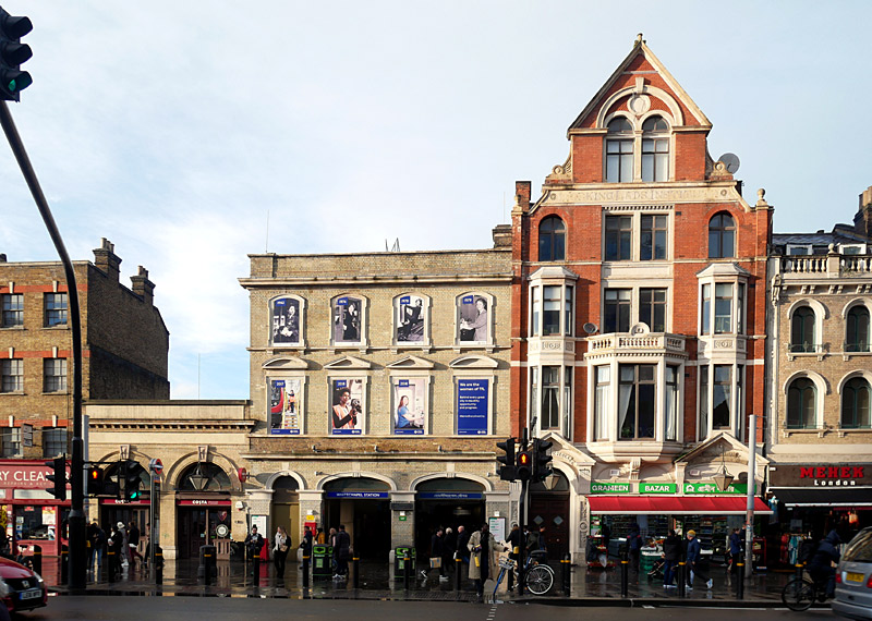
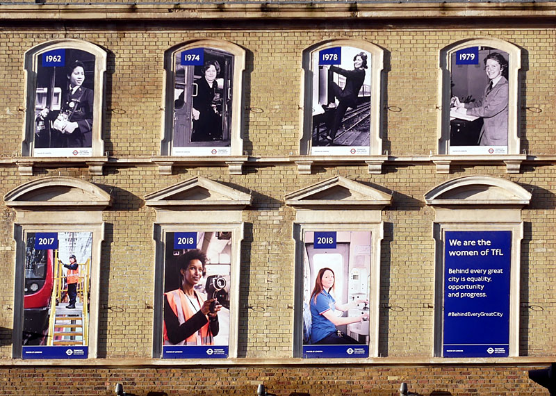
has been preserved with 'Women Of TfL' posters replacing the upper floor windows.
| Abbey Wood Branch |
The branch to Abbey Wood is a brand new service which partially re-uses older railway infrastructure in the London Docklands area.
Canary Wharf and Woolwich are brand new station buildings, although other nearby stations with similar names already existed.
Custom House and Abbey Wood stations already existed and have been extensively rebuilt. Bus services from Abbey Wood serve Thamesmead, which is a large residential area in south-east London that does not have any railways at all.
Canary Wharf
This box-shaped station sits on an artificial island that was created by draining the West India Quay north dock. 18 metres below water level it is part of a multi-floor structure that on upper levels includes retail and leisure space plus a roof garden
The ticket hall has multiple accesses, including some at each end of the building. However, as already exists with the Jubilee line and several DLR stations in this area, the Elizabeth line station does not include direct interchange passageways with any other railway services. Instead the other stations are easily reached by exiting from this station and walking through the various indoor shopping centres and / or outdoor footpaths. The 'out of station interchange' (OSI) facility on the PAYG smart card ticketing system means that interchanging passengers will be charged a simple through fare for their entire journey - but only if they do not take too long to walk between exit and entrance card readers - in most cases the time limit is 20 minutes.
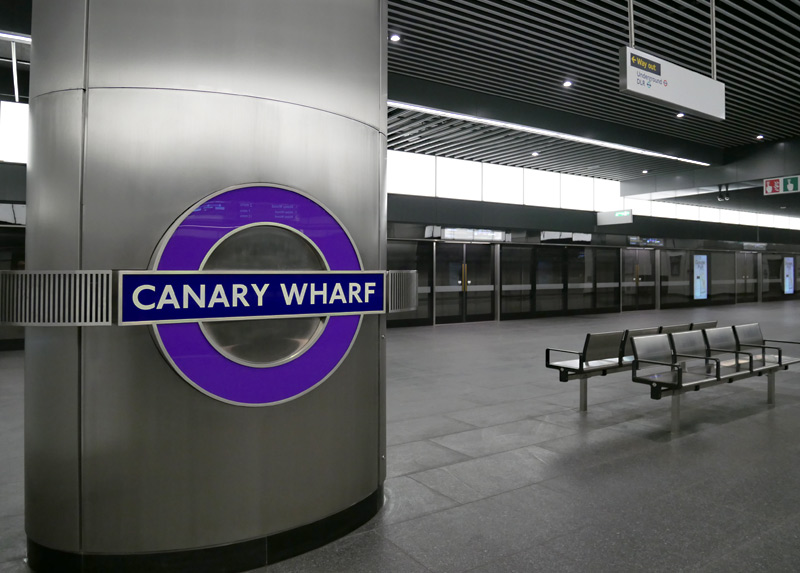
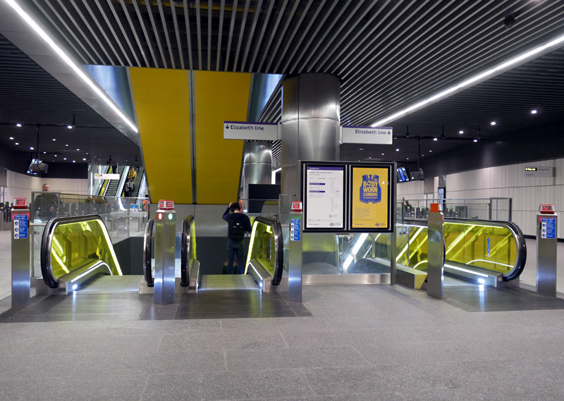
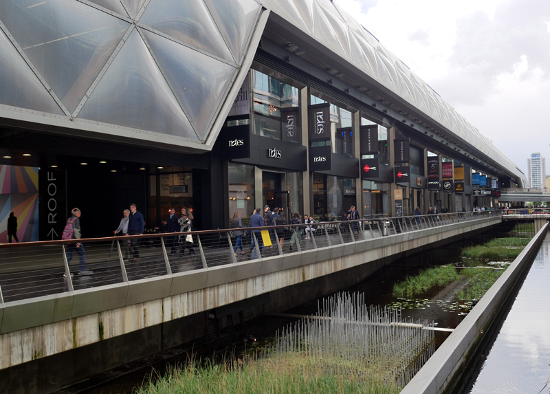
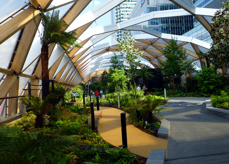
above Canary Wharf Crossrail / Elizabeth line station.
More information: https://canarywharf.com/arts-events/crossrail-place-roof-garden/
The Crossrail Place roof garden features plants from many of the countries once visited by ships that unloaded goods in the dock that has now been repurposed into this Elizabeth line station plus retail complex. The West India Quay north dock sits almost exactly on the Meridian line and the roof garden planting has been arranged according to which hemisphere the plants come from, with Asian plants such as bamboos to the east, and plants such as ferns from the Americas to the west.
Custom House
Custom House is next to the Excel exhibition centre and was already served by the Docklands Light Railway (Beckton branch). The Elizabeth line occupies space that was previously used by a railway that dates back to 1855 and closed in 2006. However the older station had two side platforms so the site was completely rebuilt for the new service, with the two railway services now having one double-sided island platform each, centrally located between each pair of tracks.
It would have been much better for the passengers had this station been designed to have cross-platform interchange between the two railway services. This would also have reduced the numbers of passengers walking around the station. However, the railway industry did not want this. Apparently it is seen as 'inconvenient' when trains operated by different railway companies share the same platforms plus because the DLR was already running the safety people said that it was too dangerous to have construction workers close to a live railway. However that argument could be considered somewhat hollow, because the DLR station was rebuilt as part of the Crossrail project and whilst the DLR station was closed during this time the trains continued to pass through this station.
Perhaps another reason for not wanting cross-platform interchange between the two railway services at Custom House is that the DLR and Elizabeth line have very different ticketing regimes. The DLR is an open system whereas the Elizabeth line is largely a closed system - which means that to enter or leave the stations passengers must pass through ticket gates which check that they have a valid method of fares payment.
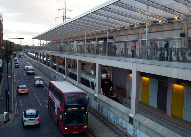
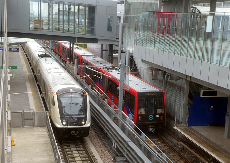
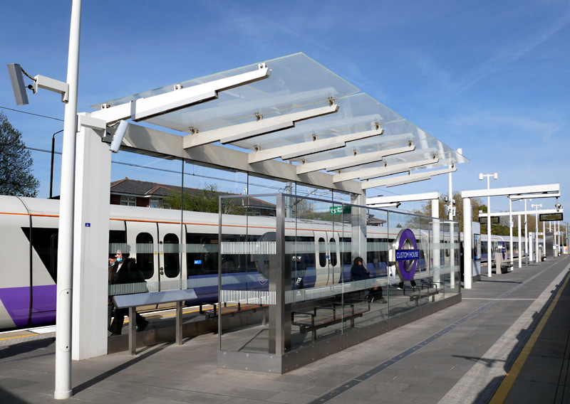
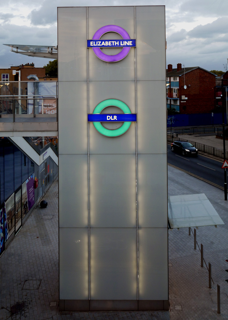
Silvertown City Airport?
The route between Custom House and where the Elizabeth line passes below the river Thames at North Woolwich reuses part of a very old section of passenger and goods railway through London's docklands.
This section of railway used to have a station at Silvertown, close to the footbridge from where these photographs were taken, but in 2006 this section of railway was closed for rebuilding as part of the Elizabeth line - with the works included demolishing the station.
This area is now served by the nearby DLR (Docklands Light Railway) station for London City Airport (LCY). DLR trains from here travel on two routes; Bank - North Woolwich and Stratford International - North Woolwich. In addition, as can be seen there are local buses too, although this being London passengers who travel on both trains and buses are charged two sets of travel fares.
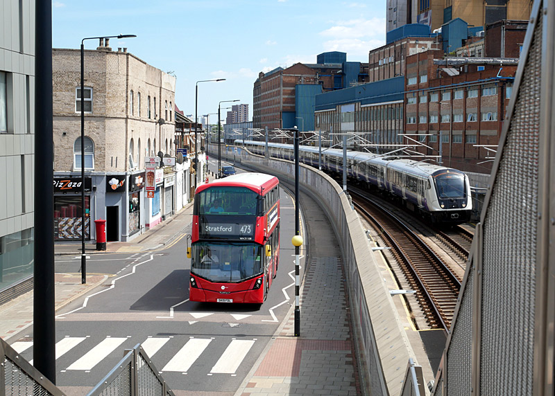
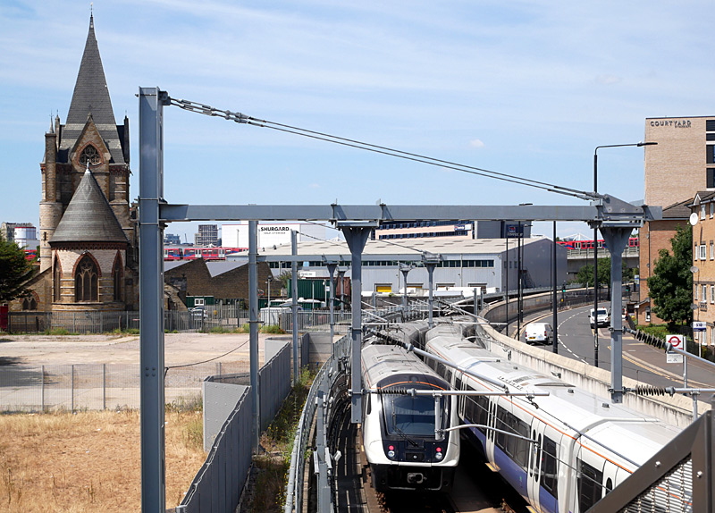
The portals on the southern side of the Thames are at Plumstead.
Refurbishing this tunnel for the Elizabeth line was a challenging task not helped by the risk of encountering unexploded WW2 bombs and the proximity of the site to the London City Airport runway.
A Future Station Here?
The owners of City Airport would very much like for there to be an Elizabeth line station serving their airport. It is understood that they even offered £50m to pay for a new station to be built to serve their airport. But the offer was refused.
However it might yet happen... if it does there will be a 300 metre walk along residential streets between the airport and the railway station.
The Elizabeth line Wikipedia route map (above) includes this station as 'proposed'.
Woolwich
Woolwich is a simple low-rise minimalist brick-built box-shaped station with a single entrance. The ticket hall has skylights so that it is bathed in natural daylight.
The facade above the station entrance comprises a 30 metre wide bronze-clad portal which features a rifling pattern reminiscent of the cannons which were cast on the Arsenal site.
The area in front of the station entrance is known as 'Dial Arch Square' and it includes a lawned area plus seating.
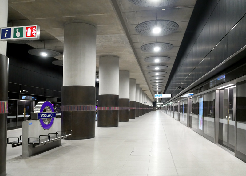
Woolwich station platform.
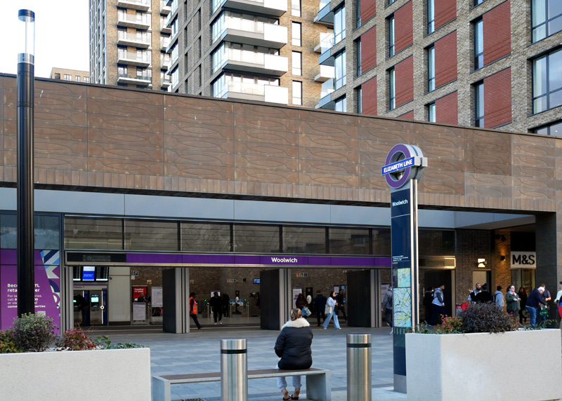
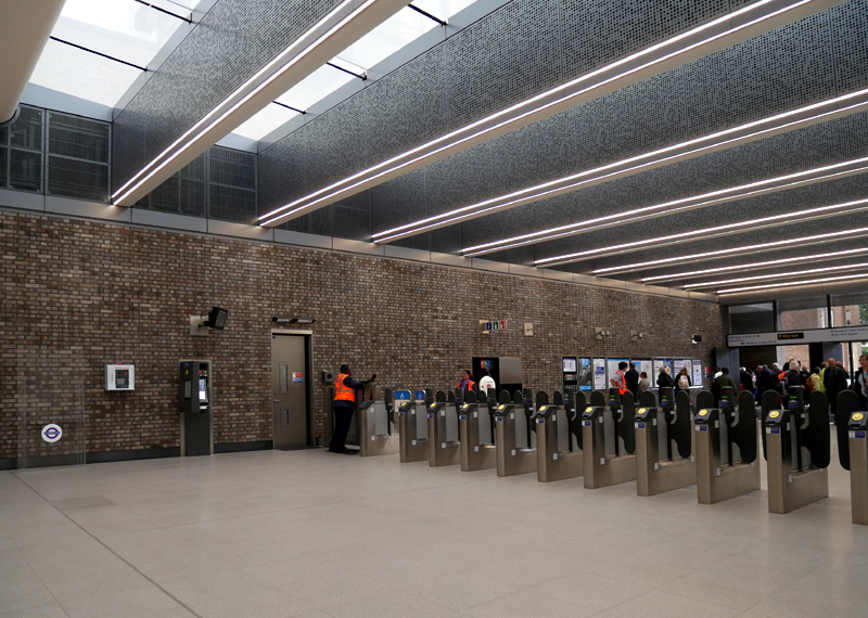
Abbey Wood
The ticket hall at Abbey Wood was rebuilt as part of the (then) Crossrail scheme and opened in March 2018. Internally it makes extensive use of wood with the inside of the ceiling using larch, plus the waiting area and platform seats also using wood. In many ways this mirrors the extensive use of wood for the rebuilding of London Bridge main line station, which is one of the main London stations served by the SouthEastern and Thameslink services that call at this station.
The promotional material for this station includes a mention of the snazzy modern glass and metal platform shelters as if they are significant. Of course weather protection for station platforms is a welcome feature - especially when it is functional too. The view (below - right) showing the wet platform surface suggests that for at least part of the station these glazed platform canopies are actually about as useful as the proverbial chocolate teapot - they may have eye candy but they totally fail to protect passengers from heavy rain!
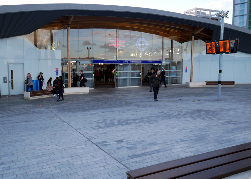
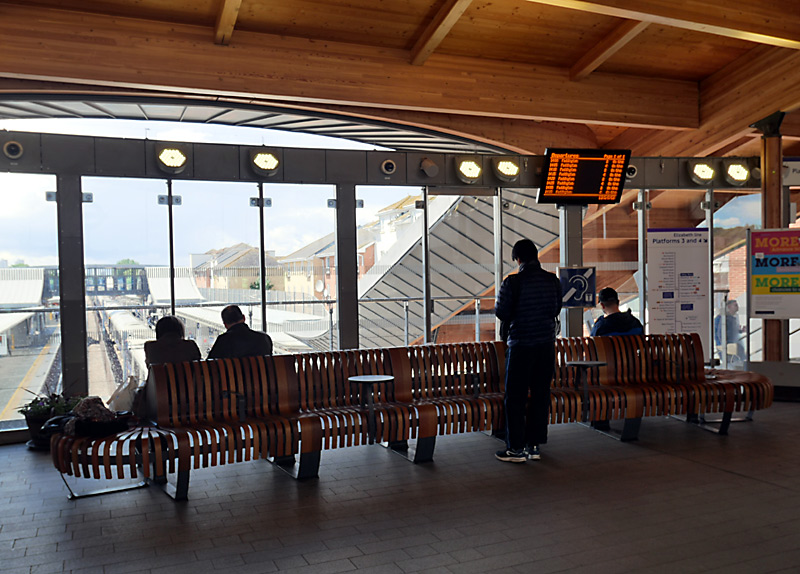
Other facilities here include a retail shop, café and toilets.
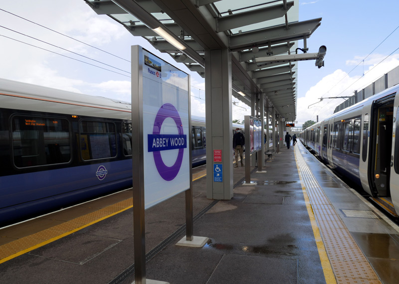
| Other Information |
Old Oak Common Station?
This proposed station is very likely to be built and become the western terminus of Elizabeth line trains which at present terminate at Paddington station.
The reason for this is that a major High Speed Two (HS2) station is being built here and the Elizabeth line will offer an excellent speedy connection with other parts of London.
It is expected that the wider Old Oak Common regeneration zone will also include stations on the Central and Bakerloo Underground lines as well as London Overground North London line, West London line and Euston - Watford line. Whether all these will be brand new stations or existing stations scattered around the wider regeneration zone remains to be seen.
The Elizabeth line Wikipedia route map (above) includes this station as opening in 2026.
Kensal Town?
Also in west London this station is desired because at present trains pass through this area without stopping and this significantly restricts travel opportunities. Previously this area was served by British Rail trains on the London - Reading route at Westbourne Park station but these were closed in 1992 and whilst Underground Hammersmith & City / Circle line trains still call here journeys to destinations such as Ealing Broadway or Heathrow Airport require travelling via Paddington station - the opposite direction of travel!
Kensal Town is a proposed station name, it might also be called Ladbroke Grove, Kensal or Portobello Central.
| Accessibility |
All of the brand-new Elizabeth line stations are fully accessible from the street to the trains. Stations on older sections of railway are only accessible between the street and the platform. Because of the physical differences in shape and size between different types of passenger and freight / goods trains it is not always possible to offer full accessibility on routes used by so many different types of rolling stock.
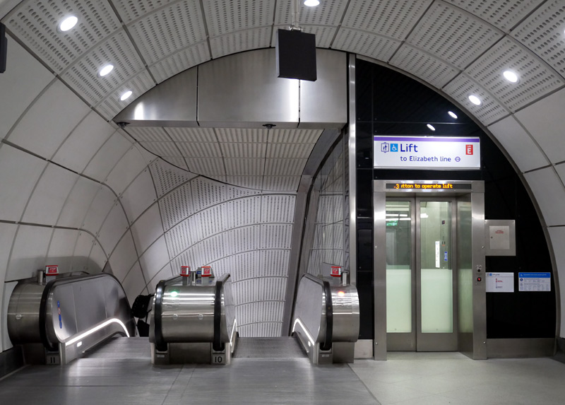
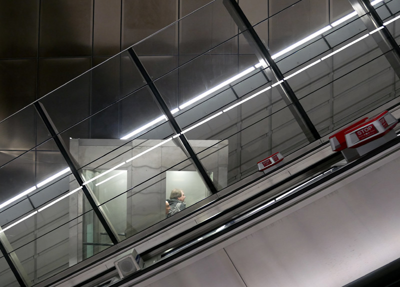
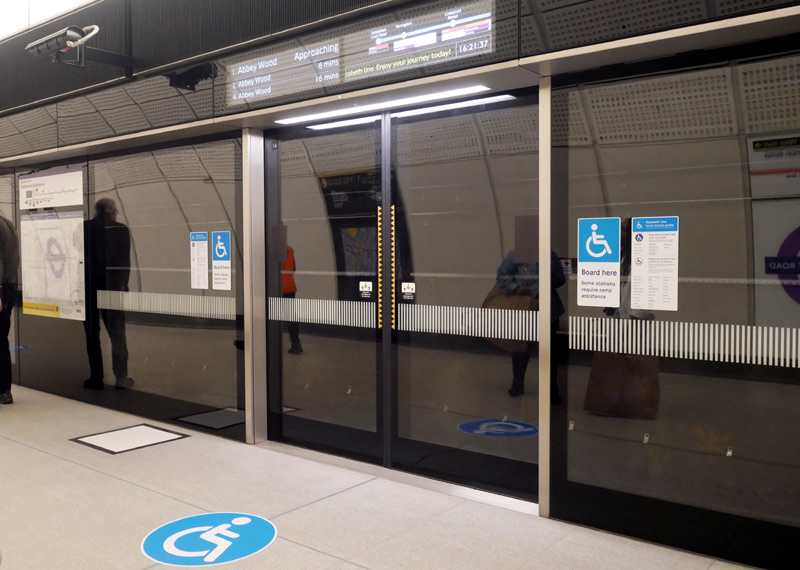
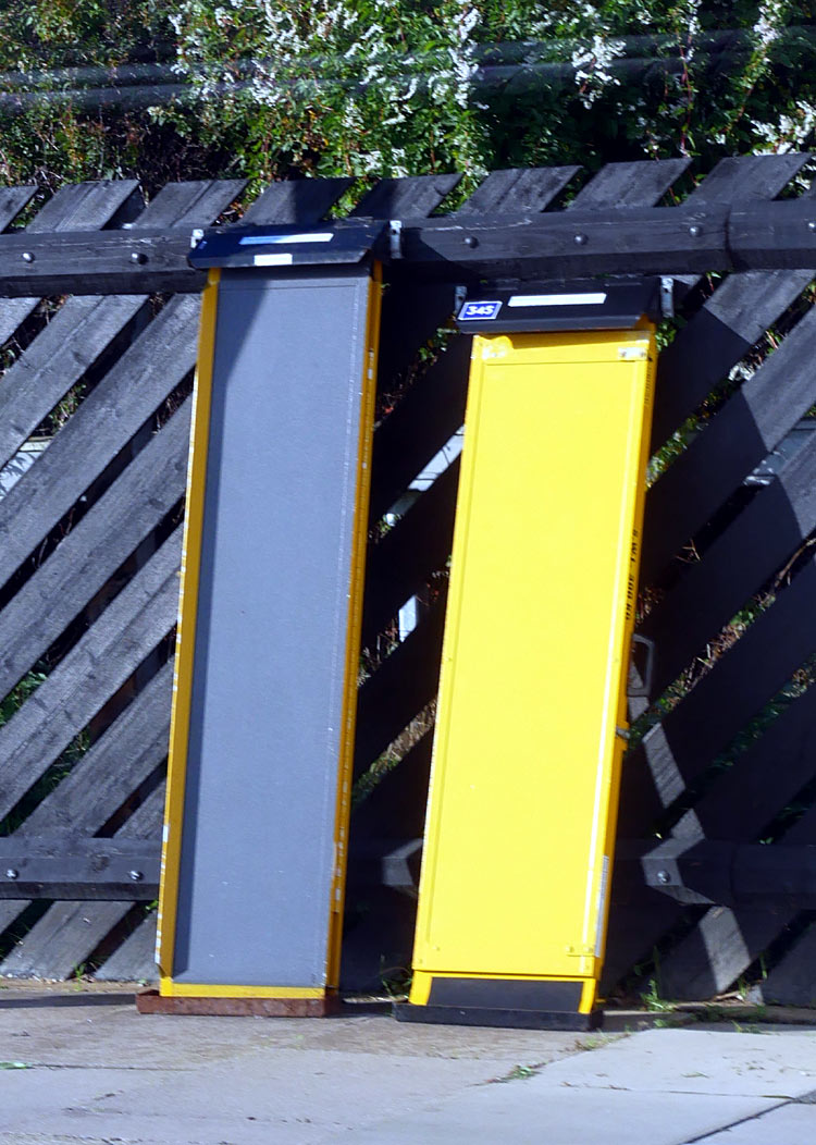
| Platform Doors - Next Train Information |
The platforms at all underground stations feature platform screen doors.
Because of the length of the platforms it was decided to locate the 'next train' information above each set of platform doors.
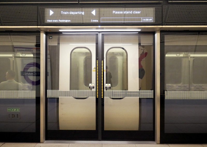
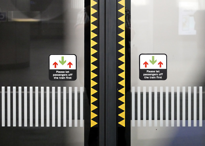
display shows the 'train departing' message.
The original style of platform door passenger information display (PID) messages listed the next few trains and used a sideways scrolling graphical display to show the stations served by the first train plus interchange possibilities - both at the stations the train served and any station that the station passed through without stopping!
The image below-right dates from the Paddington - Abbey Wood preview service which began when the central core of the Elizabeth line opened in May 2022.
The yellow scrolling message on this day was: Welcome to the Elizabeth line. Enjoy your journey today!
Bond Street station remained closed when the preview service began and therefore is crossed out.
Unfortunately even when the full service began all stations that were skipped continued to be identified with a similar barely visible white 'cross out' line. Maybe there was a reason for this,
nevertheless it was a bad mistake that led to much confusion and passengers boarding trains that did not stop at their destination stations.
It would have been better had the cross out been a large X or a red line - not white.
Whilst visually attractive many passengers found that the scrolling messages were too much of a gimmick that failed in one of the most important functions - they did not make it easy to quickly work out whether a train already at the station would call at their destination station.
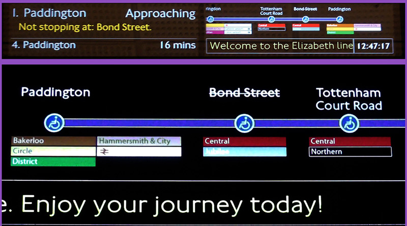
Scrolling 'next train' messages located above platform screen doors - as used for the first (approximately) 20 months of the Elizabeth line.
A much larger (easier to read) version of this image
can be found at this link

A montage of four images showing part of the scrolling route map with interchange possibilities for an eastbound train travelling between
Tottenham Court Road and Forest Gate, on the route towards Shenfield. To take these photographs the camera was set to -2 f stops.
This montage dates from summer 2023, when the full service was running.
It uses images from Tottenham Court Road station solely because that is where I was when I decided to take the photographs.
In late 2023 / early 2024 a new style of 'next train' passenger information was rolled out. The message is fixed (ie: does not scroll sideways). It still lists the next four trains but only the stations called at by the next three trains. For a while only some display screens used this format but it is now universal.
Although a much plainer format many passengers will prefer this as it is easier to find one's destination station on a static list of names than a scrolling list of names. This will help passengers who are unfamilier with the service feel more assured that they will be boarding the correct train for their journey.
The only drawbacks are that for some longer services with many stations the list of station names scrolls over two pages and that this new display style does not show interchange possibilities at the various stations served by the trains.
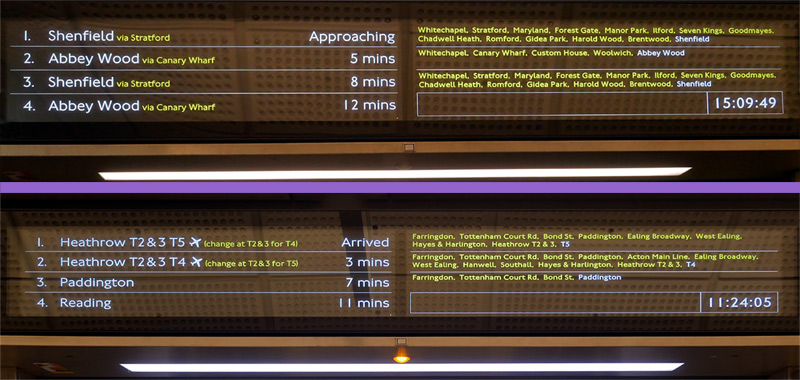
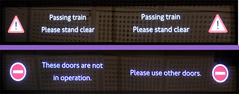
The upper display shows eastbound trains.
The lower display shows westbound trains - note how easy it is to see that the train to Heathrow terminal 5 calls at three fewer stations than the train to Terminal 4.
Both photographs were taken at Liverpool Street station,
at different times of the day.
A much larger (easier to read) version of this image
can be found at this link
on the passenger information displays.
Two short films showing the passenger information displays in action have been placed on the ‘YouTube’ film / video website and can either be watched via the embedded displays or on the YouTube website in new windows by clicking the links below the films.
http://www.youtube.com/watch?v=msPAGDy-Ok0
2) An Elizabeth line train going to Maidenhead arriving at Whitechapel station
http://www.youtube.com/watch?v=8HYrwYX_4O4
| Long Walks |
Several Elizabeth line stations in the central core require passengers to use several flights of escalators when travelling between the street and the platforms. This is nothing new however, as the same applies at some of the deep level tube stations.
For various reasons - including needing to avoid sewers and pre-existing tunnels - passengers interchanging with other lines at some central London stations have long or even very long walks. This situation also already exists at some London Underground stations, especially those which are served by London's newer Tube lines - the Victoria & Jubilee lines (eg: Green Park, Oxford Circus and the merged Trafalgar Square & Strand which is now called Charing Cross).
What is new for the Elizabeth line is that some of the interchange passageways include seats so that weary passengers can rest for awhile.
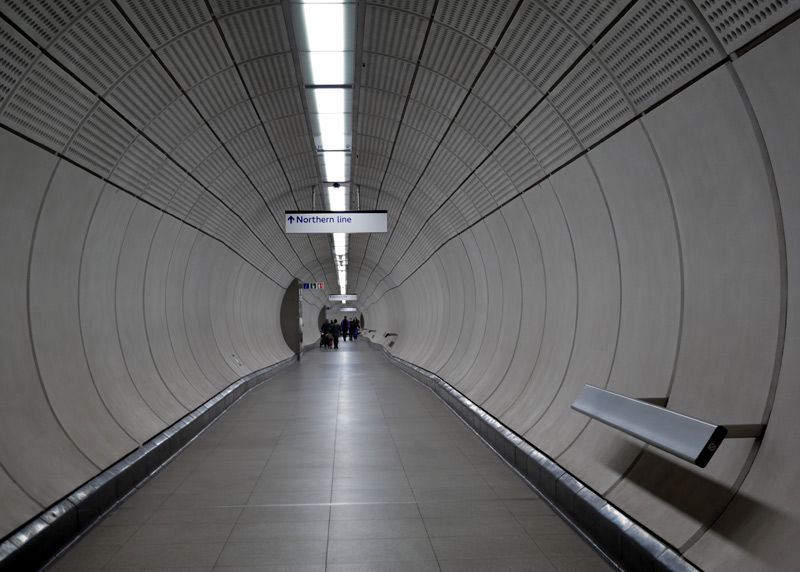
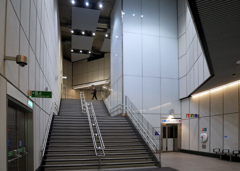
Northern line (Bank branch) at Moorgate includes several 'bum rest' perches, proper seats and this very grand large cave-like cavern
with a very high ceiling that creates an element of grandiose wonderment which counteracts the mundane blandness of
the rest of the walking route. This cavern was possibly originally part of a works access when the Elizabeth line was being built.
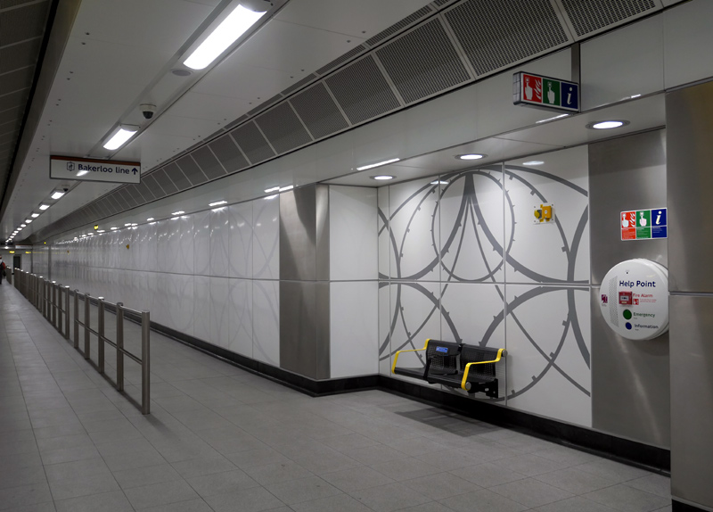
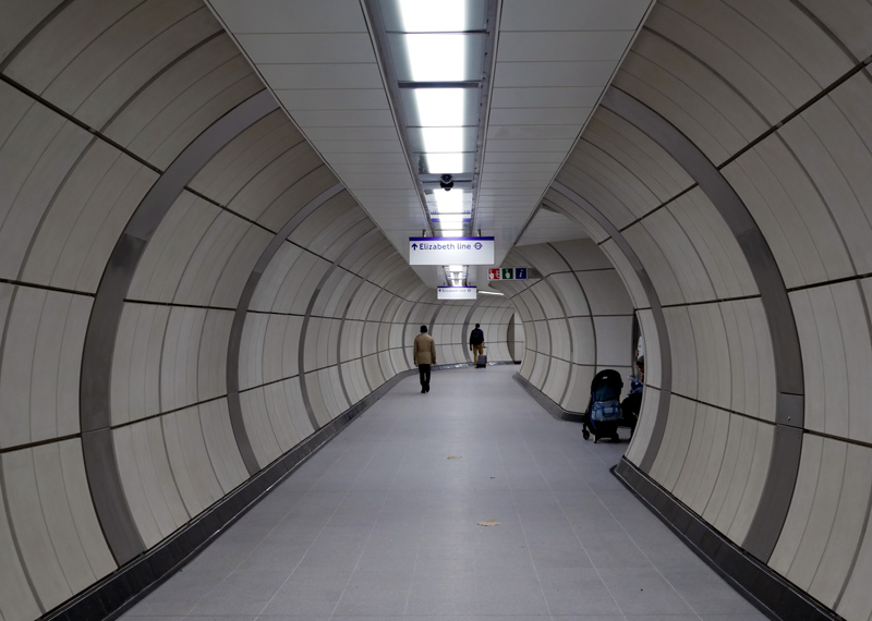
| Ownership and Ticketing |
It is important to know that the Elizabeth line is a National Rail (main line railway) service and NOT a London Underground service.
This means that its status is the same as the London Overground in that in addition to all the usual London tickets and passes (Oystercards, etc) passengers with discounted fares railcards that are valid nationwide can use them on Elizabeth line trains, as can prepaid passes such as the All Line Rover, BritRail and Eurail passes.
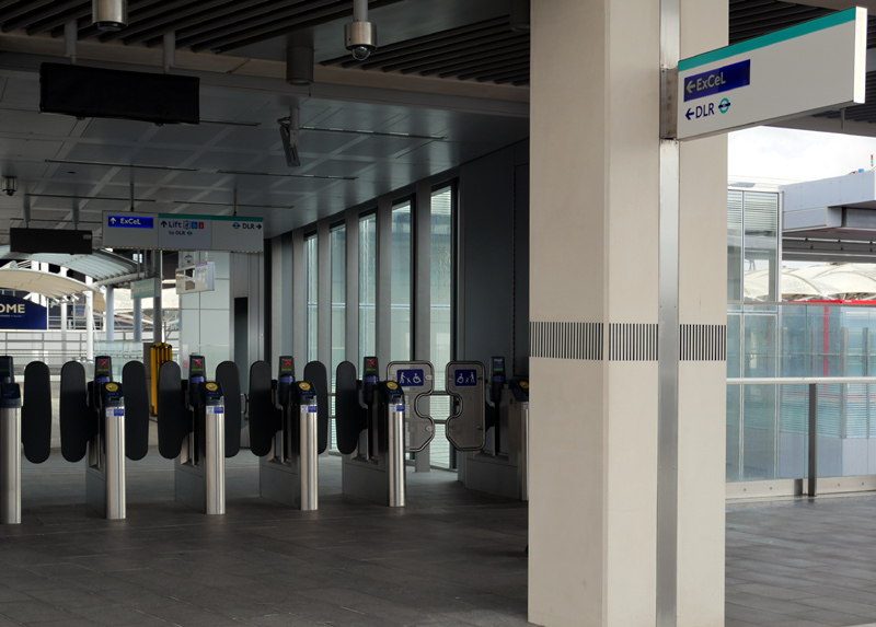
At Custom House Elizabeth line passengers must still pass through ticket gates - even if they are interchanging with the DLR.
| Historic Portions Refurbished |
The railway routes Paddington - Reading and Liverpool Street - Shenfield are both long-established, having existed for over 100 years and have at least four tracks, with one pair of tracks (per route) dedicated to fast (longer distance) trains and the other pair of tracks for slow (local) trains. Mostly Elizabeth line trains will use the slow (local) tracks.
As part of the Crossrail project these two existing railway routes have been upgraded. The first stage towards this occurred at the end of May 2015 when control of the London Liverpool Street - Shenfield suburban service was taken over by Transport for London and started using the temporary brand name of TFL Rail.
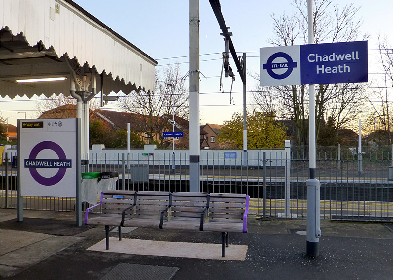
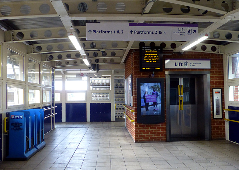
The Elizabeth Line Clock
At Chadwell Heath Station
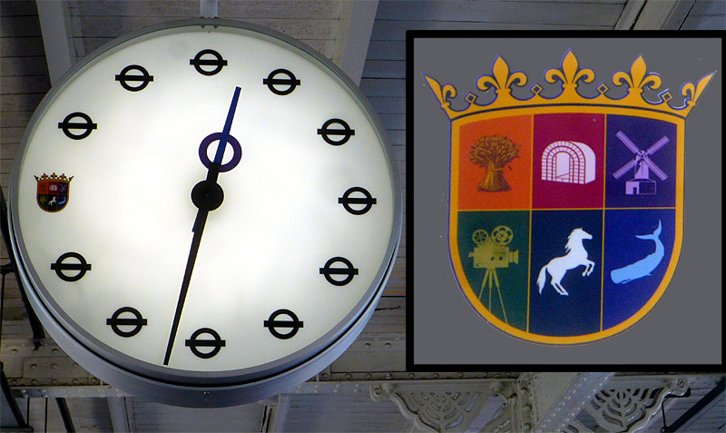
The design brief for this clock was to emulate the 1940's Central line clocks where the London Transport Bullseye symbol (nowadays known as the TfL Roundel) replaces all the numbers - except No. 9, which instead is replaced by the heraldic logo of the CHSRA
(Chadwell Heath South Residents’ Association)
The clock is located on platform No.3, which is used
by westbound Elizabeth line trains travelling towards
Central London, Paddington station, Heathrow Airport, etc.
Installed in summer 2024 this clock was inspired by the 1940s clocks which replaced the numbers with the London Transport Bullseye symbol and can be seen at Gants Hill, Bethnal Green, Wanstead and Redbridge Central line stations.
Built by Mobatime in Switzerland, the clock was commissioned by the Chadwell Heath South Residents’ Association (CHSRA) who wanted some form of public art in the station to celebrate the arrival of the Elizabeth line.
It was funded by the London Borough of Redbridge Neighbourhood CIL (Community Infrastructure Levy) Fund which is designed to finance projects that benefit the wider community.
Much assistance also came from Transport For London (TfL) who were very enthusiastic to see this project realised. TfL also suggested replacing the number 9 with the CHSRA heraldic logo.
80cm (31½ inches) in diameter the clock features LED lighting and is kept accurate via Global Navigation Satellite System (GNSS) synchronisation.
These links lead to further sources of information about the Chadwell Heath Station Clock - this includes full information on the CHSRA heraldic logo:
https://www.chsra.org.uk/elizabeth-line-clock
https://www.ianvisits.co.uk/articles/the-elizabeth-lines-new-heritage-inspired-clock-arriving-at-chadwell-heath-station-73340/
To make this route suitable for the much longer new trains many (but not all) station platforms have been lengthened - as explained under the heading 'Short Platforms' below.
Also, to the east of London the overhead wire power supply system which dates from the late 1940's has been renewed with many (but not all) of the portals from which the wires hang having been replaced and the installation of brand new registration arms (of a very different design) - even on the older portals.
The line to the west of London has also benefited from much investment, both as part of the Crossrail project and as part of an electrification project that extends to faraway destinations not served by the Elizabeth line.
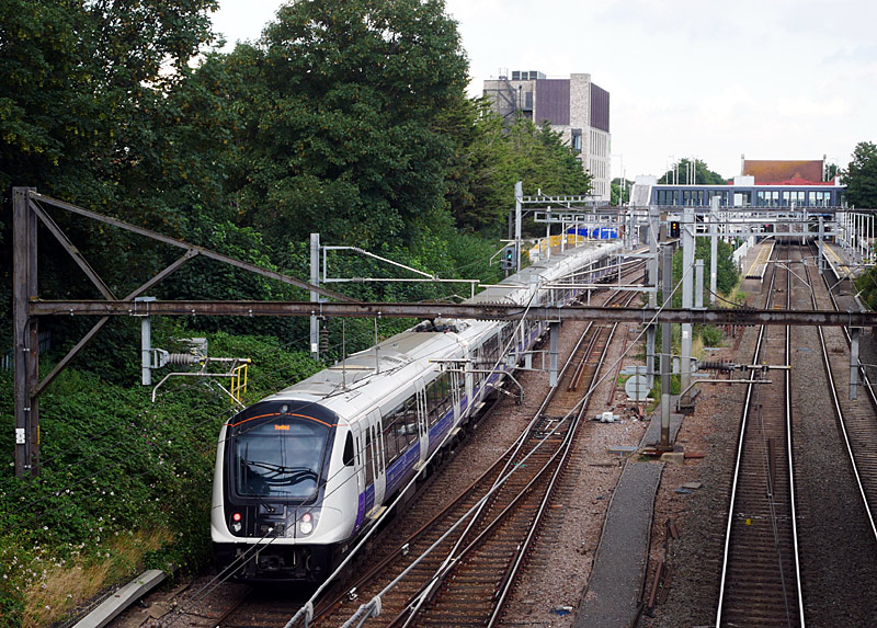
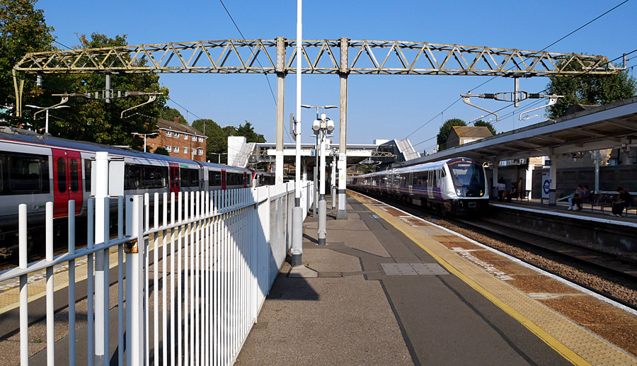
at Manor Park station.
The train in the left is a Class 720 operated by Greater Anglia - these are the same family of trains as those used on the Elizabeth line but with a different door configuration and seating inside the train.
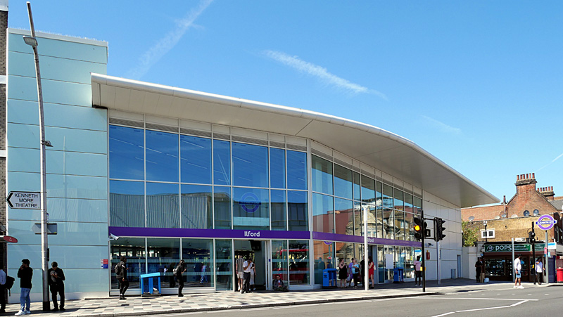
This was one of the last parts of the project to be completed, construction only began in 2019 and
was then significantly delayed by the 2020 virus pandemic.
(one each side of the tracks) at the opposite end of the station.
This floor mat is located at the platform 1 Ilford Hill entrance which
also serves the East London Transit bus stops.
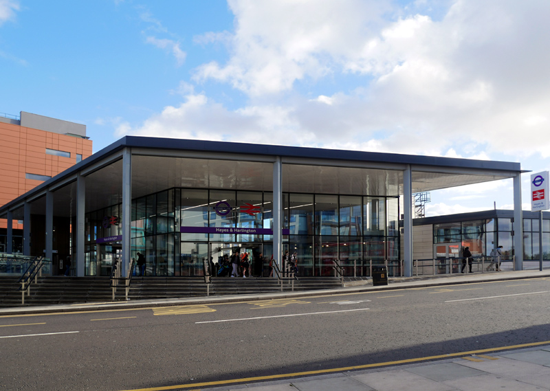
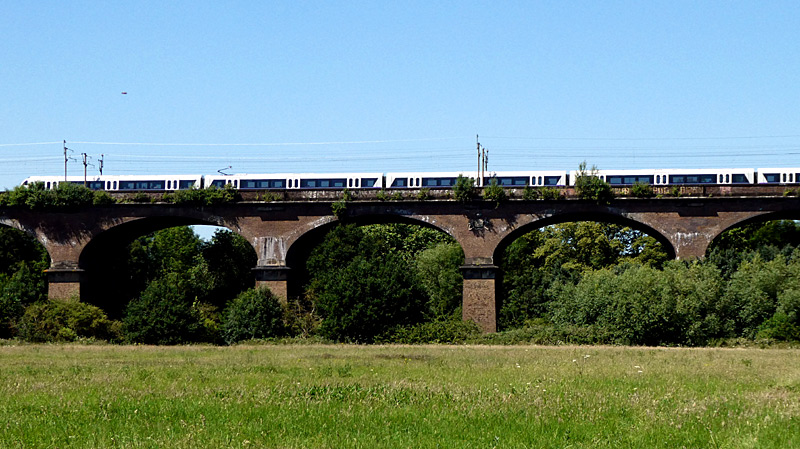
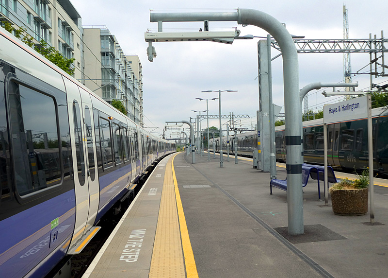
Built 1836 - 1837, the Grade 1 listed Warncliffe Vidauct is 890 ft / 270m long and 56 ft / 17m wide. It has eight semi-elliptical arches and crosses the valley of the river Brent.
This was the first major structural design by Isambard Kingdom Brunel, the first building contract to be let on the recently established Great Western Railway (GWR) project to build a railway
between London and Bristol and the first structure to be completed. As from 1839 the viaduct also carried the cables for the first commercial electrical telegraph.
More information:https://victorianweb.org/technology/bridges/43.html
| Short Platforms |
For various reasons it was decided that some stations would not have their platforms lengthened to accept 9 coach trains. This means that when calling at these platforms the doors in some carriages at the back of the train remain closed and passengers must walk through the inside of the train until they find a doorway that is allowed to be opened. Exact details of which doors open / remain closed varies according to the individual stations. Ideally regular passengers will quickly learn where they need to be to always be near a door that opens at their destination station.
The reasons for not lengthening every station platform include the cost of the works, lower expected passenger numbers (at that station), physical constraints and sheer impracticality. At some stations it was felt that the cost of the works would be unjustifiably high. For example, Maryland has road bridges at each end of the platforms and at least one of these would have needed completely replacing. Maryland is not an especially busy station and experience at stations where longer trains call at short platforms on the Underground and DLR has shown that requiring alighting passengers to walk-through to a different part of the train can provide a viable alternative solution. Another station where platforms are not being lengthened is Hanwell - in west London. This too is not an especially busy station.
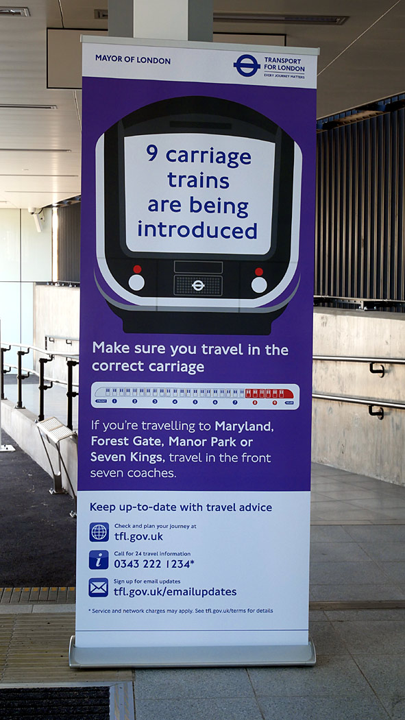 |
|
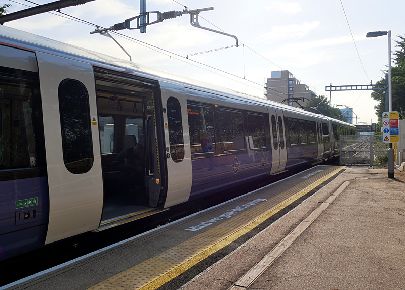 |
|
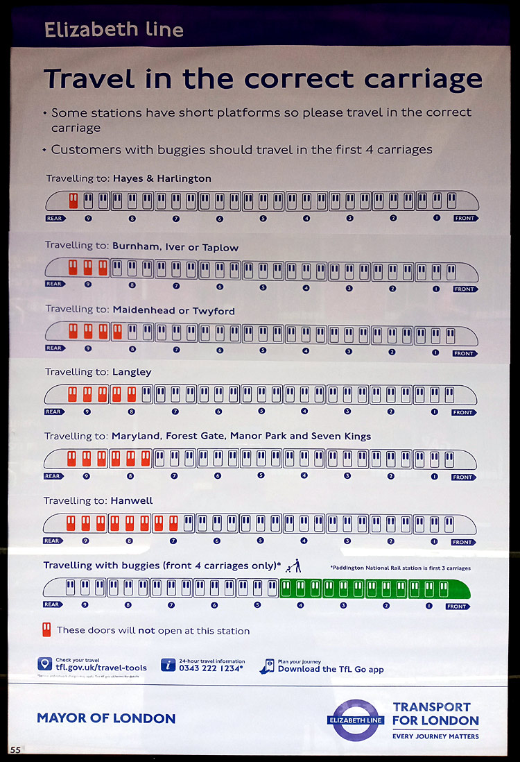 |
| A sign (at Ilford station) informing passengers about the trains being longer than some station platforms. | |
At some stations the trains are longer than the platforms and as a result some (or all) of the doors in some carriages remain closed. This is Seven Kings. |
|
A sign listing all the stations that have short platforms and how many sets of doors will not open when calling at them. |
As with all images on this website clicking the images will open larger versions in new windows,
doing this will make it possible to read the information shown on the signs.
| Long Platforms |
The brand new subterranean stations have been built with platforms long enough for 12 coach trains, should passenger numbers rise very significantly. But, just about every surface station would also need their platforms lengthening before such even longer trains could be brought in to service.
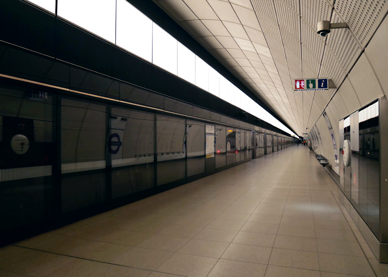
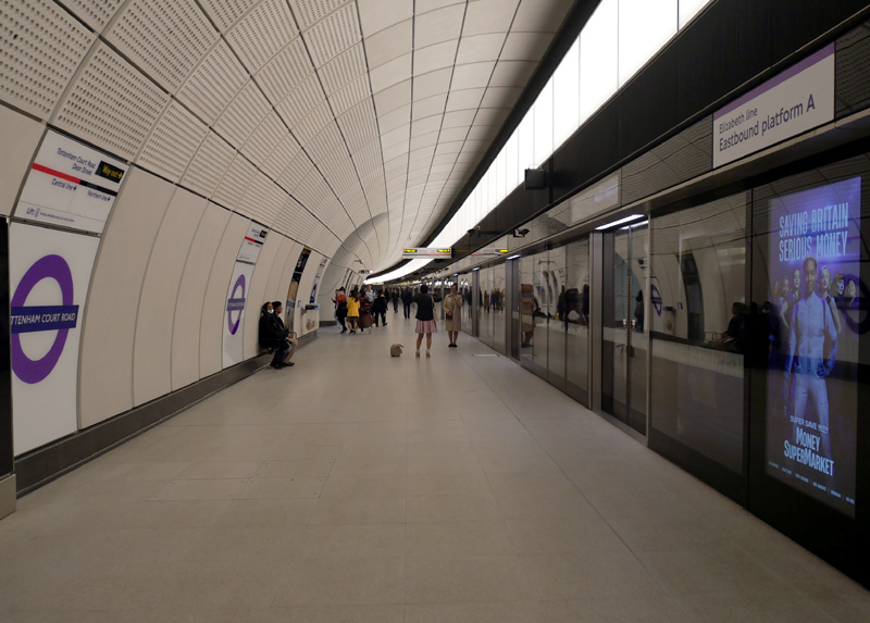
In this view the section of platform screen wall behind the back of the train does not have doors as trains do not stop alongside it.
At Farringdon the platforms are 244 metres in length.
Tottenham Court Road eastbound features a gentle curve.
| Elizabeth Line Trains |
The Elizabeth line uses 70 air-conditioned trains which feature a fully walk-through internal design, electronic (visual and audible) real-time information, CCTV, Wi-Fi and 4g. However there are no USB power sockets. Each carriage is 24 metres long and to help minimise station stop dwell times they have three pairs of plug doors on each side.
Each train has four wheelchair spaces with tip-up / folding seats for other passengers plus ten groups of folding / tip-up longitudinal seating (spread out throughout the train) which create multi-user spaces for luggage (eg: on airport journeys) and parents with children in pushchairs / buggies / strollers.
The first of the new trains arrived in London in December 2016 and the final new train arrived in December 2021. The train type is the Bombardier Aventra. In the British train naming scheme these trains are known as Class 345.
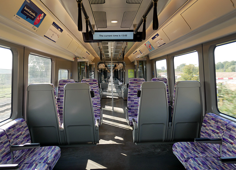
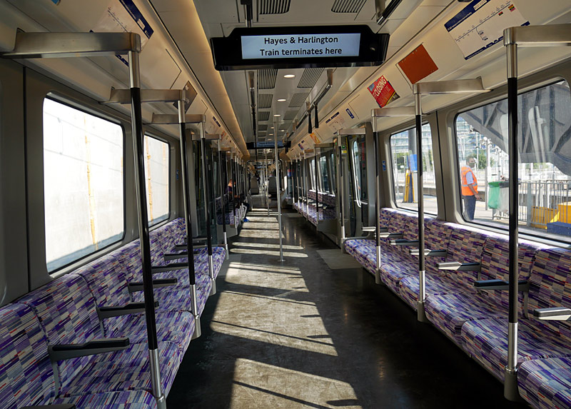
Longitudinal seats have fixed armrests whilst transverse seats have folding armrests.
This includes the coaches with the wheelchair spaces.
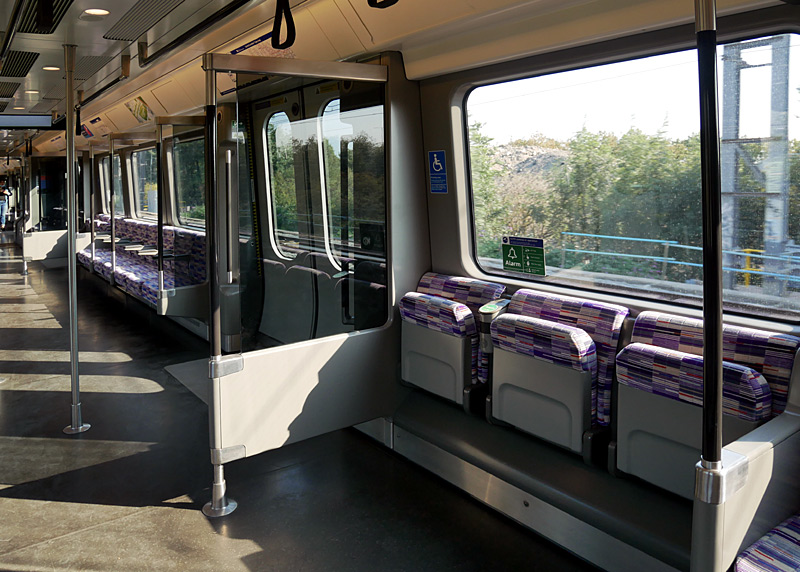
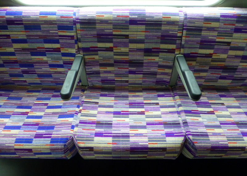
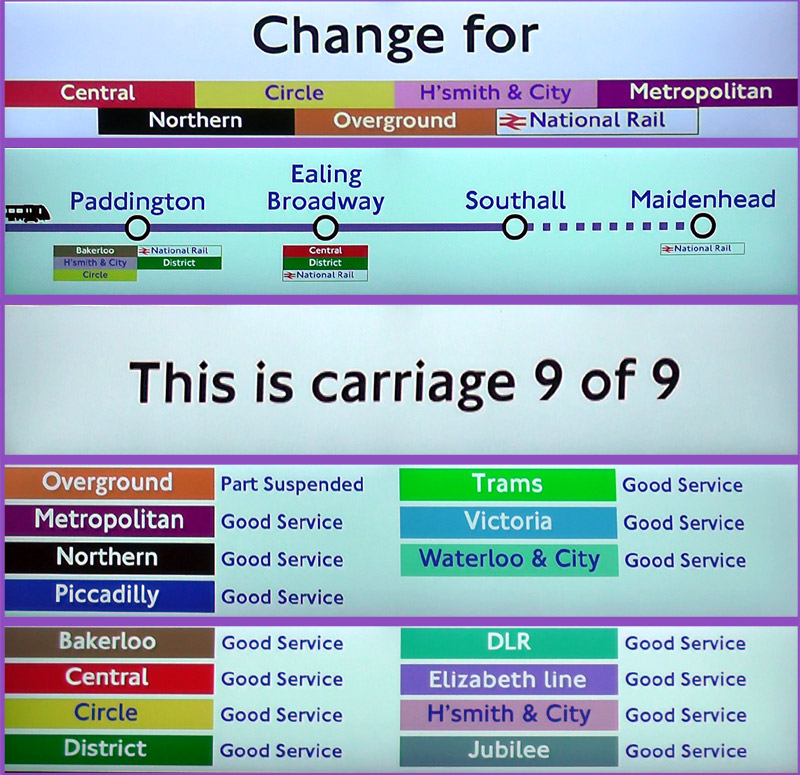
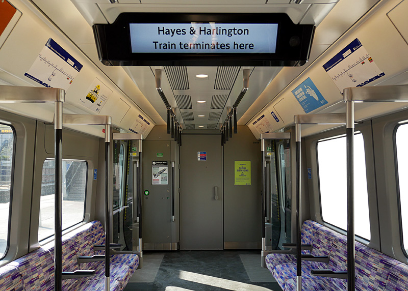
When first introduced in to service these trains had just 7 coaches and were about 160 metres long.
This was much longer than the 5 coach Class 360 trains they displaced on the former Heathrow Connect service between Paddington and Heathrow Airport...
...and about the same length
as the 8 coach Class 315 trains they displaced on the London - Shenfield route.
However their 7 coach format was only a temporary stop-gap until many station platforms could be lengthened. By May 2022 all but three trains had been lengthened to be 200 metres long with 9 coaches, 450 seats and an estimated total passenger capacity of 1,500 people.
Because of their length Class 345 trains have a fire door at a midway location
along the train, splitting them in to 5 carriage and 4 carriage sections.
The primary visual clue to this are the 'door open' buttons on either side of the door.
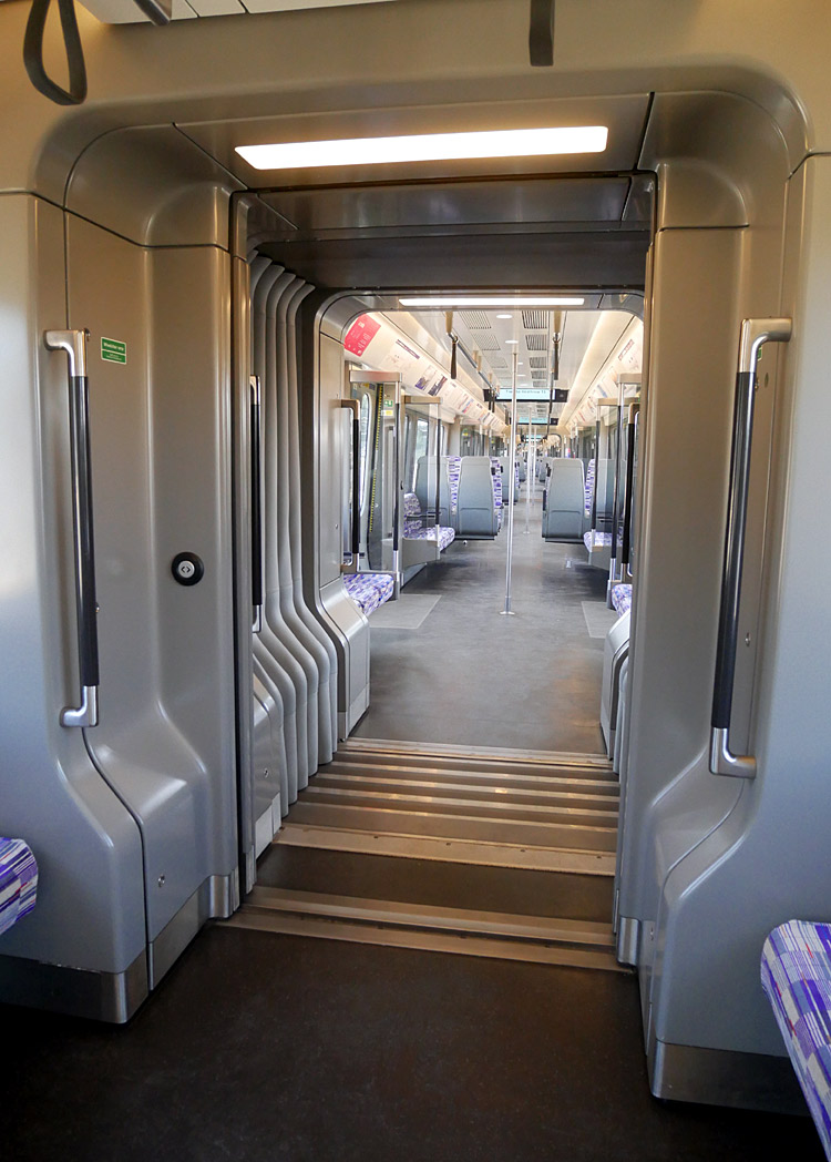
By way of comparison, when the line between Liverpool Street and Shenfield was electrified in 1949 it used 9 coach trains that were 163 metres long and had 528 seats in their original format and 504 seats (in 2 + 2 format) after rebuilding when the electric
power supply system was changed from 1500v DC to a mix of 6.25Kv AC and 25Kv AC. Part of the reduction in seating capacity was because there were more longitudinal seats as this facilitated an increase in standing space.
Although a similar length, the 8 carriage Class 315 trains had 632
seats - mostly in 3 + 2 format - but far less space for crush loaded standing passengers in the rush hours.
| Signalling |
The brand new deep level tube train tunnels and the Abbey Wood branch use radio Communications-Based Train Control (CBTC) moving block signalling with Automatic Train Operation (ATO) and Automatic Train Protection (ATP). To allow train frequencies to increase the signalling is designed for up to 30 trains per hour.
The historic sections of railway on either side of London are equipped with the legacy Train Protection Warning System (TPWS) and all trains are driven in the traditional way - by a human train driver.
The section of railway Hayes & Harlington - Heathrow Airport is equipped with the European Train Control System (ETCS) Level 2.
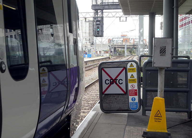
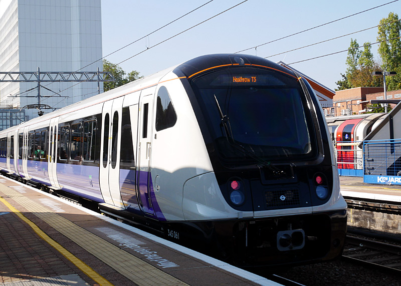
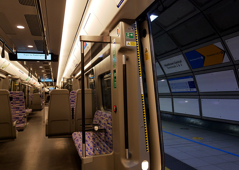
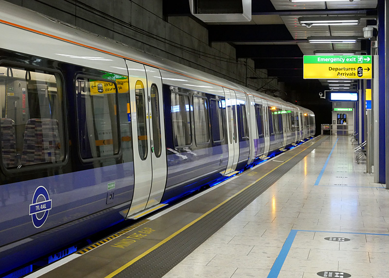
As an aside, although passengers passing through Heathrow Airport's railway stations must agree to be filmed by their security cameras the Airport staff become 'very upset' if they see anyone using their own cameras - even if just filming the trains.
| Two Overlapping Services |
It was always expected that the Elizabeth line will usually operate as two overlapping services:
1) Shenfield - Paddington / Heathrow Airport and
2) Abbey Wood - Paddington / Heathrow Airport / Reading.
All trains travel as far west as Paddington station, and some trains from both Shenfield and Abbey Wood continue on to Heathrow Airport, but only trains from Abbey Wood also serve stations between West Drayton and Maidenhead / Reading.
The reason for this is to reduce the likelihood of delays in one part of London from causing delays in another part of London. Passengers wanting a destination not served by their train will be able to change train by waiting on the platform served by trains travelling in the same direction at any of the six Central London core stations.
In the rush hours there are also a few additional trains on the Great Eastern Main Line that serve the existing main line (above ground) Liverpool Street station instead of travelling via the tunnels. This is because this extremely busy route needs more trains than those which travel through the tunnels and the platforms at the existing main line Liverpool Street station are more convenient for the many people who work in the local area.
Part of the funding for the construction of the Elizabeth line has come from London's second financial centre at Canary Wharf. One of the conditions of their investment is that at least 50% of trains on the Abbey Wood branch serve Heathrow Airport.
Heathrow Express Still Remains
Although the 'all stations' Heathrow Connect (HeC) no longer exists as a specialist named train service the Heathrow Express (HeX) continues as a dedicated non-stop premium service which links Paddington station with Heathrow Airport. Being a premium service it also charges much higher / premium fares. The HeX trains also include a First Class seating area and one of the perks offered to 1st Class passengers is priority access (avoiding the queues) to security / passport control at Heathrow Airport.
| Sampling Class 345 TFL Rail / Crossrail / Elizabeth Line Trains |
Three films showing the Class 345 trains when first introduced have been placed on the ‘YouTube’ film / video website and can either be watched via the embedded displays or on the YouTube website in new windows by clicking the links below the films.
http://www.youtube.com/watch?v=ZsIDjCImUBs
2) The first day of service - and looking at some of the trains they replaced
http://www.youtube.com/watch?v=NblaJ2hMd78
3) Exploring the new trains
http://www.youtube.com/watch?v=Mhn_7VLkPRk
These links lead to interesting sources of information about the introduction of these trains in to passenger service:
http://www.railforums.co.uk/showthread.php?t=120221&page=70
https://districtdavesforum.co.uk/thread/29937/crossrail-elizabeth-line-opening-24th
Crossrail Line 2
Crossrail as a name in the London context refers to two (or three) new subterranean railway lines which will travel across central London and in the suburbs extend over existing heavy rail routes. The primary aim is to reduce overcrowding on London's existing railways. The concept of introducing trains to the many areas which are remote from any railway service is seen as a secondary (less important) side effect.
What is significant about Crossrail is that its deep level 'tube' tunnels will be large enough for full size main line trains. Until now only the deep level 'tube' tunnels used by Northern City Line were suitable for full size main line trains.
Crossrail Line two is a future rail service which will link south-west London with north and north east London.
In the 1970s this line was planned to serve two areas which do not have any Underground railway service, these being Chelsea and Hackney. At that time an unofficial line name of Chelney was mooted and the line was expected to take over part of the District Line's Wimbledon branch and then be routed via Clapham Junction, Kings Road (Chelsea), Tottenham Court Road, Angel, somewhere in the Hackney area and then over either the existing railway route to Chingford (nowadays this is now part of the London Overground network) or Epping (replacing Central Line trains).
However more recently the plans have changed and the line is likely to takeover several outer suburban routes in south-west London (this will allow increased services without having to expand London Waterloo Station) and then be routed via an interchange station with the Northern Line in south London, before following the same route as before as far as Hackney where it will split into two branches, one of which is planned to reduce overcrowding on the Piccadilly Line in north London. The other branch will be extended alongside a little used railway in the Lea Valley which is seen as needing a better rail service to act as catalyst for redevelopment. As yet the exact route and stations served is still being planned.
Using Crossrail 2 as a congestion buster for the southern section of the Northern Line is seen as being better than completing the express tube line which was planned in the late 1930s and partly built (so that the tunnels could be used during the war) in the 1940s.
Using Crossrail 2 as a congestion buster for the northern section of the Piccadilly Line would not have been necessary had two railway routes which used to serve the area not closed in the 1950s (Finsbury Park - Alexandra Palace via Highgate & Muswell Hill and Stratford - Palace Gates).
The imbalance in fares is also a reason why the Northern and Piccadilly line trains are experiencing severe overcrowding, even though there are other existing railway services in the same areas. Despite London having one zonal fares system, for many journeys the fares charged in PAYG mode when travelling on the Underground, DLR and most Overground services are cheaper than the other railways. (This does not apply to Travelcard season ticket fares).
If built the Chelney Line is expected to open circa 2030 - 2040.
Busier Suburban Stations Of Interest
In addition to terminal stations in Central London, there are some busier suburban stations where a variety of trains can often be seen. This list only looks at those in zones in zones 1-4. These include: Clapham Junction, Richmond, Ealing Broadway, Wimbledon, West Ham and Stratford.
- Clapham Junction: (south London). With 18 platforms (numbered 1-17 plus 0, which is not used) this is one of the busiest stations in all of Great Britain.
You will see many trains from Waterloo [South Western Railway] and Victoria [Southern] passing through, including the Gatwick Express and the Southern trains which use the
West London Line to link destinations to the north of London with destinations to the south of London. Although not served by Underground trains, this station is on the London Overground network,
being served by trains which use the South and West London (Windrush and Mildmay) lines.
This page in the National Rail website includes much information about Clapham Junction station and a map showing the platforms:
http://www.nationalrail.co.uk/stations/CLJ/details.html
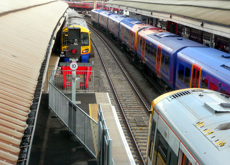
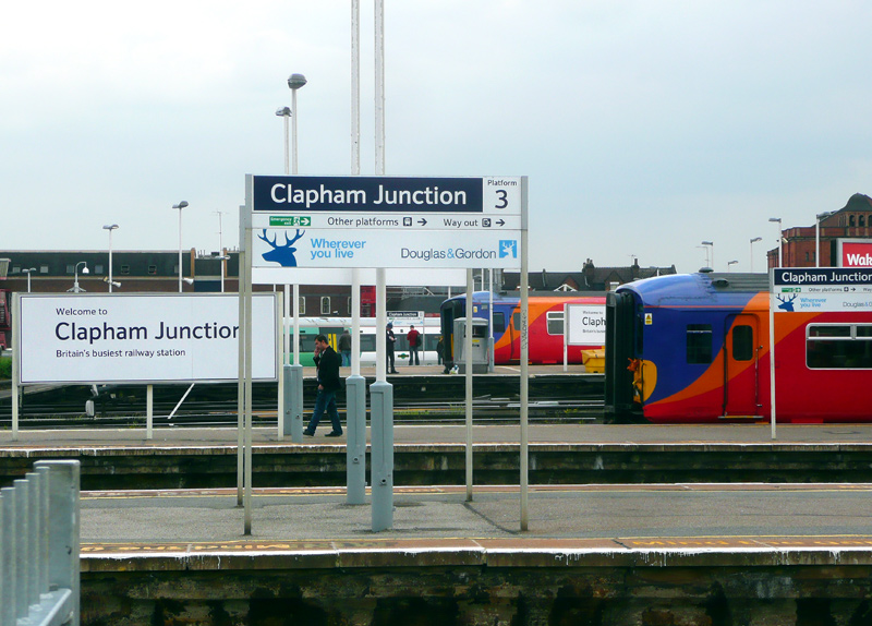
This photograph is looking east, towards Central London and Waterloo / Victoria railway stations.
Looking across the station we see two SWR Class 455 trains and a Southern train, either a Class 375 or Class 377.
This photograph is looking south.
- Richmond: (south-west London). This is a South Western Railway station that is also used by Overground and Underground trains. The platform circulating area includes a food outlet with tables
where you can watch trains come and go. The glass skylight affords weather protection in inclement weather.
Platforms 1 and 2 are through platforms for South Western Railway services - typically nowadays just electric multiple units of various types.
Platforms 3 to 7 are terminating platforms, London Overground (North London / Mildmay line) services normally use platforms 3 and 4 but sometimes also use platforms 5, 6 or 7 whilst Underground District line trains normally use platforms 5, 6 and 7 but can also use platform 4. District line trains can not use platform 3, as there is no fourth rail (electric power supply).
This page in the National Rail website includes much information about Richmond station and a map showing the platforms:
http://www.nationalrail.co.uk/stations/RMD/details.html
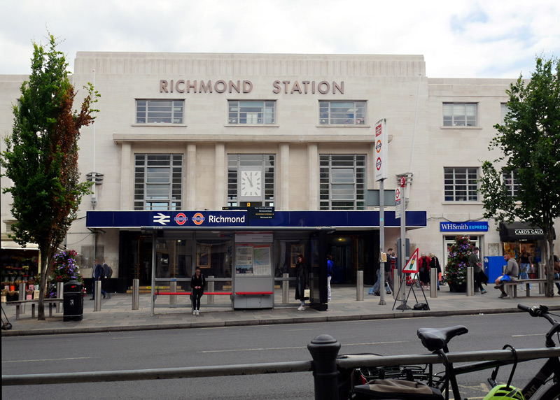
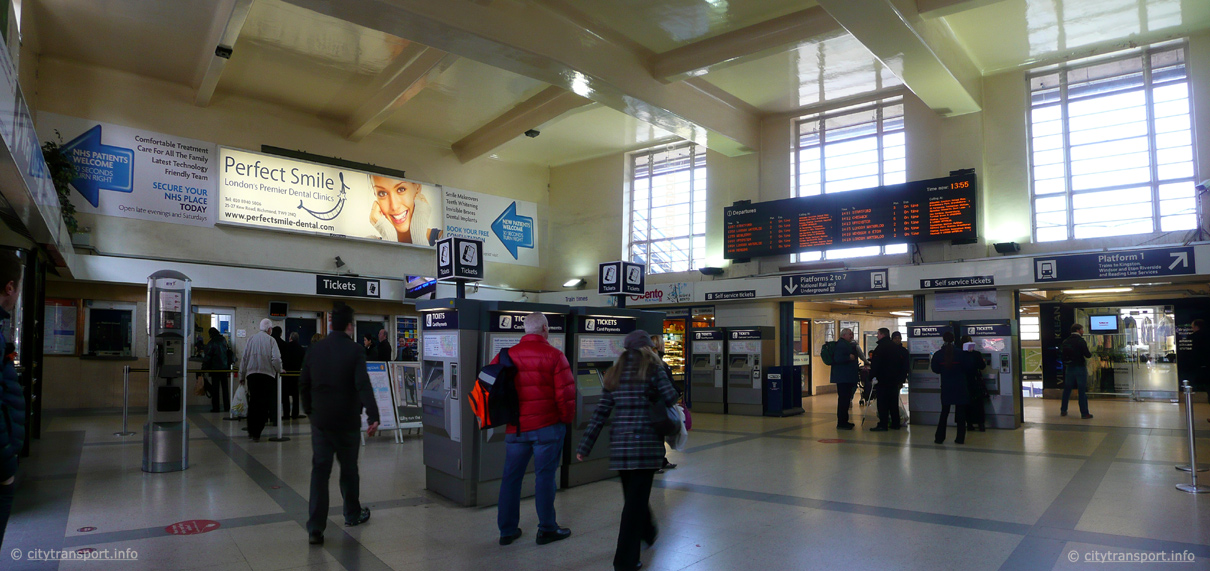 |
with a square clock was built by the Southern Railway in 1937.
Either side of the windows are white flagpoles which are not
easily seen against the white Portland stone.
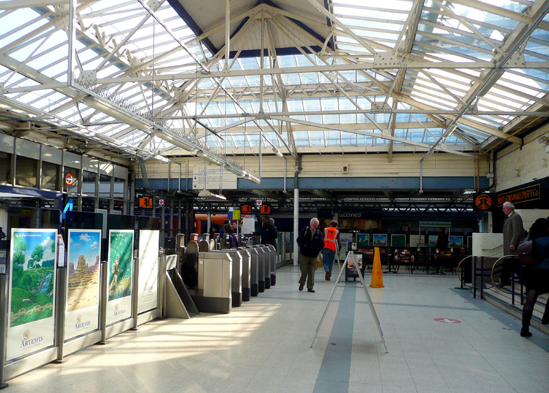
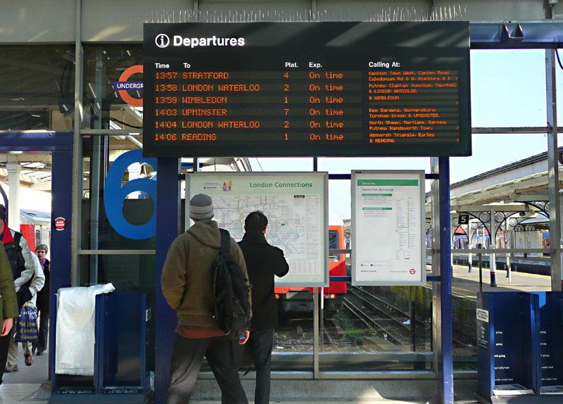
In the distance can be seen some tables and chairs where people can eat foods purchased here.
seen moments after the first train (London Overground
North London / Mildmay line to Stratford) had departed.
The next District line departure is the 14:03 from platform 7.
The barriers and electric ticket gates at Richmond station split the circulating area in front of the trains into two and mean that passengers changing trains need to effectively leave the fares paid area (ie; break their journey) to access most of the food outlets or use the toilets. For passengers using Oyster PAYG this can result in extra costs (a new fare being charged for the next part of their journey).
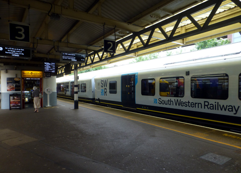
London Overground Class 378 trains at platforms 5 and 3
(the latter is in a special livery).
- Ealing Broadway: (west London). This station is served by Central, District and Elizabeth line trains.
Since the introduction of the full Elizabeth line service in May 2023 outer suburban trains operated by Great Western Railway (GWR) travelling between Paddington and Didcot Parkway no longer stop here and nowadays it is comparatively rare for GWR trains to call at this station.
Platforms 1 and 2 are normally used by non-stop trains which typically includes Intercity Express Trains travelling towards Bristol, Cardiff, Swansea and Penzance, Class 387 outer suburban multiple-unit trains travelling to various regional destinations and Heathrow Express trains travelling to Heathrow Airport.
Platforms 3 and 4 are used by Elizabeth line local 'all stations' and freight trains.
Platforms 5 and 6 are used by Central line trains. These platforms were built by the Great Western Railway for the Central London Railway in 1920, so therefore always have been part of the GWR (main line) station.
Platforms 7, 8, 9 are used by District line trains. Platforms 8 and 9 are partially inside a trainshed which features historic signage. This is the original District Railway station although nowadays the street frontage is used by various retail shops and all passengers use the main station entrance and ticket hall.
Although all passengers use the same ticket office the District line's platforms are still looked after by different staff, and as a result when using my camera at this station I have sometimes found that even though the main line staff have said 'OK' the Underground staff (on the District line platforms) have not been happy and complained that I did not also speak with them about my using my camera.
This page in the National Rail website includes much information about Ealing Broadway station and a map showing some of the platforms:
http://www.nationalrail.co.uk/stations/EAL/details.html
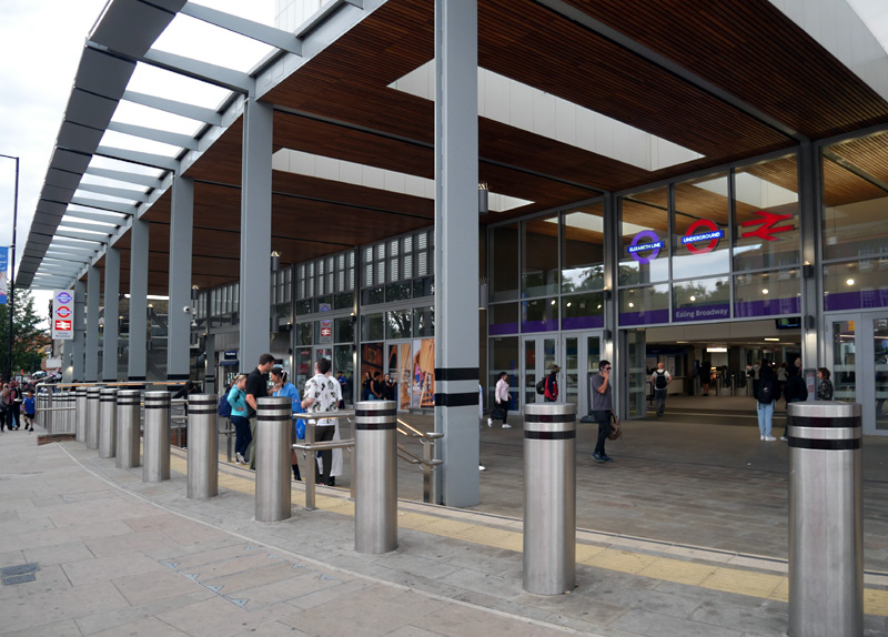
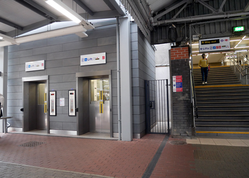
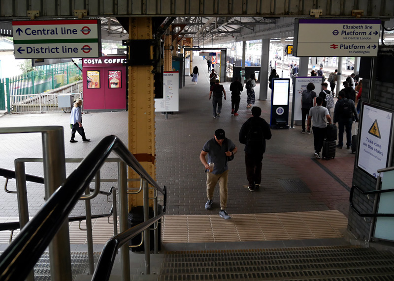
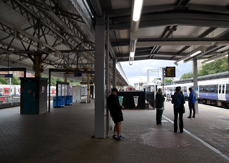
District line to the left, Central line straight ahead
Eastbound Elizabeth line to the right.
Westbound Elizabeth line trains use a different stairway.
Central line 1992 tube stock trains are at both platforms 6 and 5.
Platform 4 is empty, a westbound Class 345 Elizabeth line train is at platform 3, out of sight behind it are platforms 2 and 1.
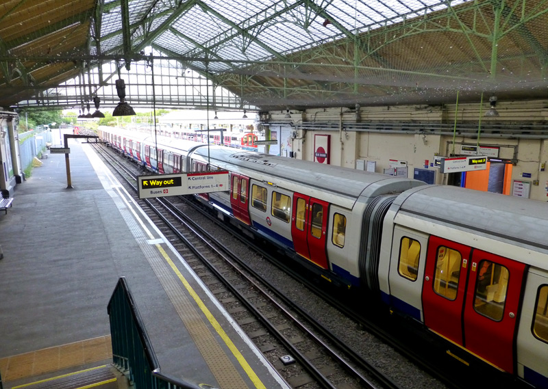
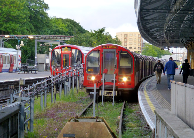
District line platforms 9 and 7 are empty
whilst there is an S stock train at platform 8.
On the far side of the trainshed wall is
one of the heritage station name signs.
In the far distance a Central line 1992 tube stock
train can be seen at platform 6.
A Central line train is at platform 6.
- Wimbledon: (south-west London). This is a South Western Railway station which is also served by trains - and trams - from several other railway operators.
Platforms 1 - 4 are terminating platforms and used by London Underground District line trains.
Platforms 5 and 8 are used by South Western Railway inner suburban (local) services.
Platforms 6 and 7 are fast tracks used by express and other non-stop trains. Because most trains travel through without stopping platform gates prevent access to these platforms.
Platform 9 is bi-directional and used by Thameslink trains which travel through to Elephant & Castle, Farringdon and the north of London.
Platform 10 is used by London / Croydon Tramlink. Because of a need to operate more trams than is possible with one platform this platform has been split into two sections, so that there are two tram platforms - Nos. 10a and 10b.
Special Information For Using Smart Card Ticketing (Oyster / Contactless / Other Device) In PAYG Mode At Wimbledon Station
* To reduce the risk of complications these rules should also be followed if you have an Oystercard with a Day Anytime, Day Off-peak or 7 Day Anytime Travelcard
* If you arrive here by any of the train services and are planning to depart on the tram you must 'touch-in' using a TRAM card reader on tram platform No.10, as otherwise you will end up being financially penalised for not 'touching-out' at the end of your train journey AND be travelling on the tram without having paid your fare.
* If you arrive here by tram and are continuing your journey by either the Underground or any National Rail (main line) service then you must 'touch-in' on one of the railway card readers - ideally on Thameslink platform 9 which is next to the trams but you can also use a yellow card reader on District line platforms 1 - 4. Important: Only yellow card readers should be used at platforms 1-4, NOT pink card readers. Otherwise you will be travelling on the train without a valid ticket and when you 'touch-out' at your ultimate destination station you will be financially penalised.
* Passengers who enter Wimbledon station from the street and are intending to travel on the tram must also 'touch-in' again on one of the tram card readers located on tram platform No.10. Otherwise the system will treat you as if you are travelling by one of the other railways and you will be financially penalised.
* Whilst it is usually possible to reclaim the excess charges from the Oyster helpline the process is a hassle.
* If you are using paper One Day Travelcards then you can ignore all these ticketing complications and just travel in the normal way!
* If you are using a One Day Bus and Tram pass then you must not travel on the trains.
More detailed Oyster ticketing information for passengers using Wimbledon station can be found here:-
https://www.oyster-rail.org.uk/trams-and-buses/
https://www.oyster-rail.org.uk/wimbledon/
Passengers going to the All England Lawn Tennis and Croquet Club (eg: for the annual Wimbledon Tennis Championships Tournament) should travel to Southfields station, as it is nearer than Wimbledon station.
This page in the National Rail website includes much information about Wimbledon station and a map showing the platforms:
http://www.nationalrail.co.uk/stations/WIM/details.html
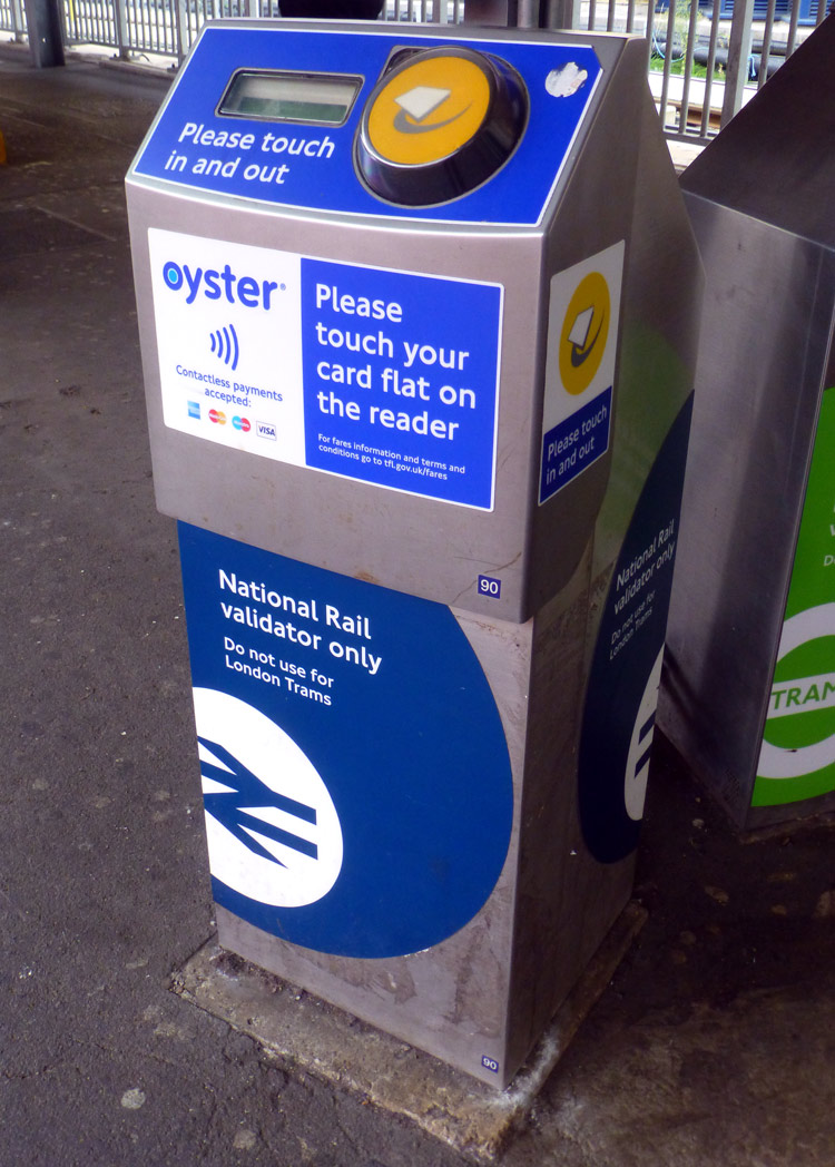
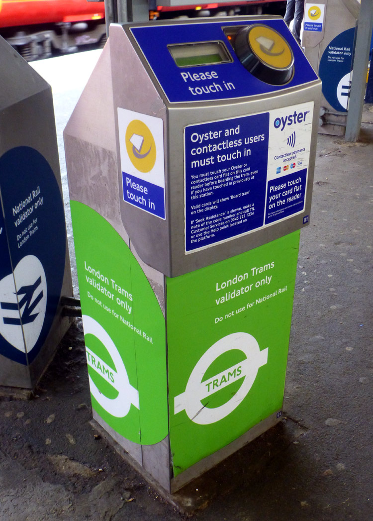
to alert passengers to their different functions - any type of train (left) and trams (right).
If paying fares using electronic smart card devices (Oyster / contactless / smartphone / keyfob, etc.,) it is very likely that you will need to use a card reader when interchanging between the trams and trains. Be careful, as forgetting to 'touch-in/out' or using the wrong card reader could prove to be very expensive!!
For the benefit of interchanging passengers there are also pink (route validator) and yellow card readers the platforms (Nos. 1-4) which are used by the District line trains - these too are for interchanging passengers - the pink card readers are for passengers making journeys where the fares are lower if the passenger avoids travelling in Zone 1 whilst the yellow card readers are for passengers who are either starting a train (underground or main line) journey after arriving here by tram or have split their fares over several tickets with paper tickets being used to travel on main line railway journeys operated by SWR or Thameslink and electronic smart card devices being used to pay their fares on the District line underground trains.
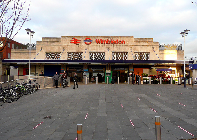

When built there was an access road directly in front of the station, for ‘kiss and ride’ passengers and a taxi rank but this area is now a pedestrian piazza which features floor lighting that cycles through a rainbow of colours.
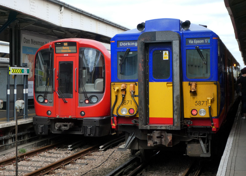
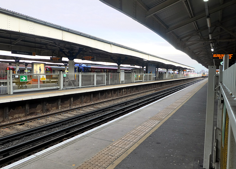
and a South Western Railway Class 455 train at platform 5.

Class 700 Thameslink train arriving at platform 9.
in the distance can be seen a Bombardier tram at platform 10a.
At platform 8 on the far left is one of the Class 455 trains which includes a Class 508 carriage that was retained in London when the Class 508 trains were sent to Merseyrail (Liverpool area).
When Tramlink trams services first started using this station the trams stopped where the white railings can be seen in the photograph (above - right). This was very convenient for passengers because the steps (and lifts) were very near to here - just behind when I was standing when I took this photograph.
However so many passengers were using the trams that to reduce overcrowding there was a need for a service that was too frequent for just one platform.
The solution was to build staggered platforms, as seen below. It is unfortunate but because there is only enough space for one track at this end of the station it was necessary to move their stopping point much further along the platform.
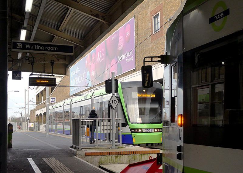
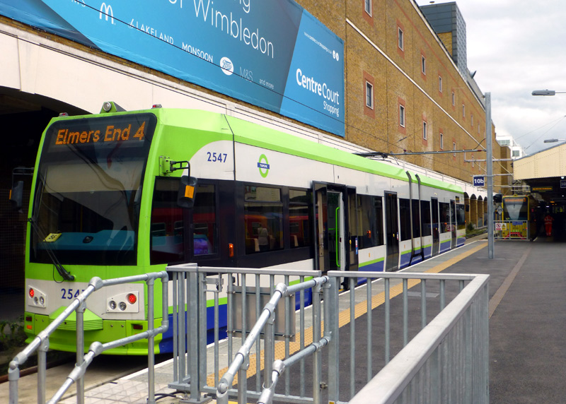
and Bombardier tram 2530 at platform 10a.
2547 at platform 10b (left) and
2550 in a special yellow advertising livery at platform 10a (right).
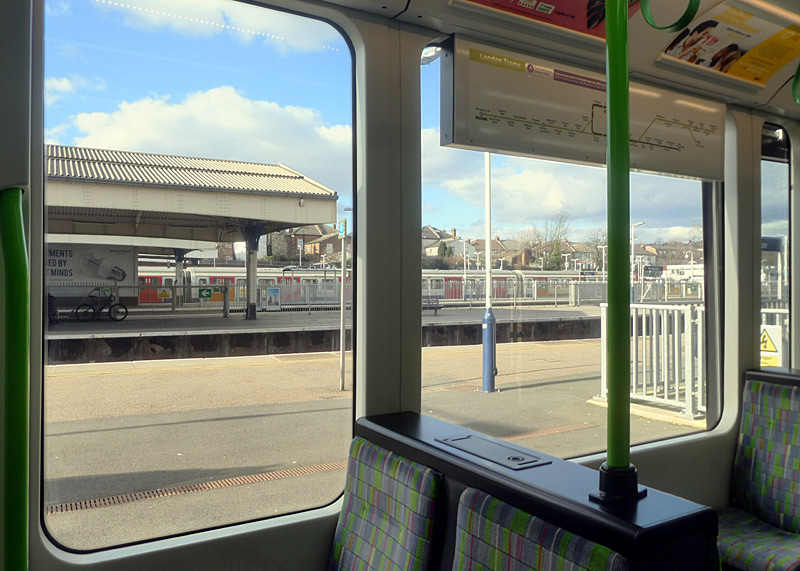
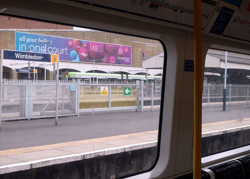
- West Ham: (east London) is served by C2C, the DLR, Jubilee, Hammersmith & City and District line trains.
Platforms 1 and 2 are used by District and Hammersmith & City line trains,
Platforms 3 and 4 are used by Docklands Light Railway trains,
Platforms 5 and 6 are used by Jubilee line trains,
Platforms 7 and 8.are used by C2C trains.
The present-day station was rebuilt in this format during the construction of the Jubilee line and comprises red brick, concrete and glass (clear glass and glass bricks). It was styled upon the Holden stations built in the 1930s.
Platforms 1, 2, 7, 8 are on an east - west alignment whilst platforms 3, 4, 5, 6 are on a north - south alignment.
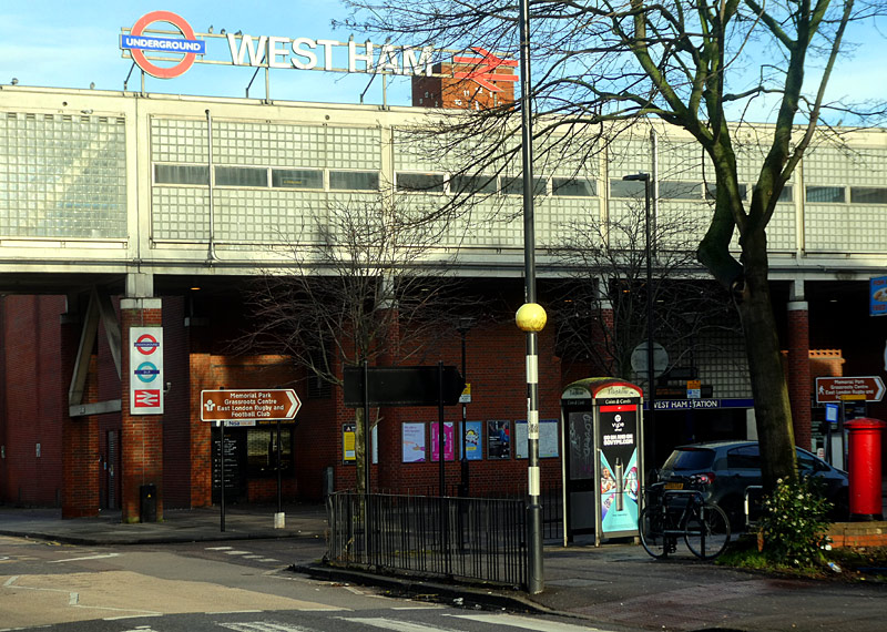
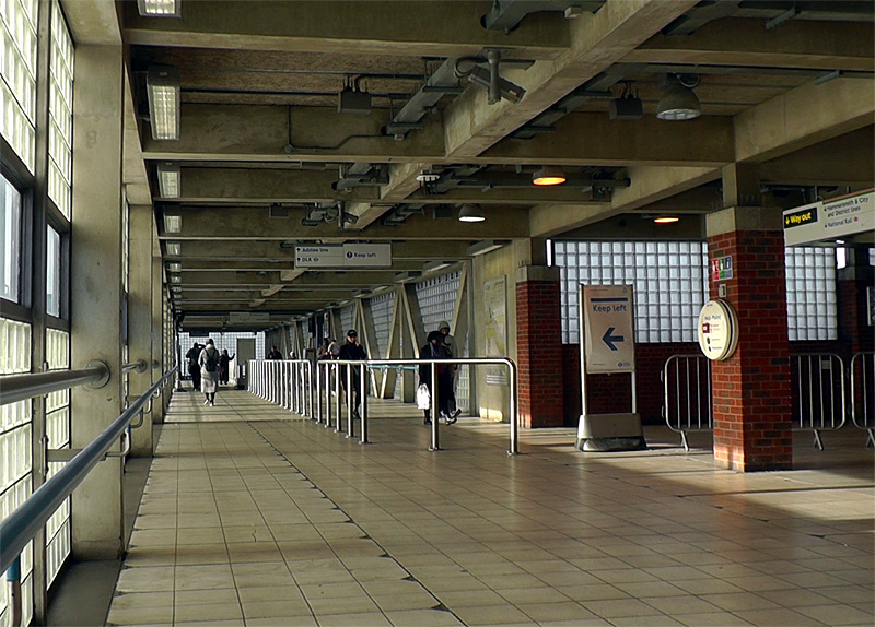
Manor Road and links platforms 3 - 6 with the station entrance
and platforms 1,2,7,8.
Behind me (and also not seen) are some accessibility lifts.
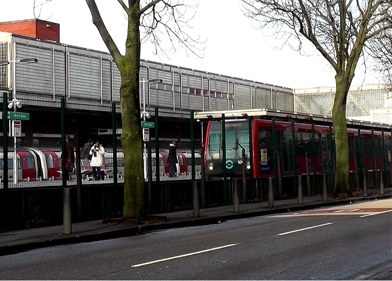
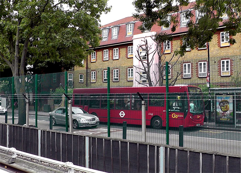

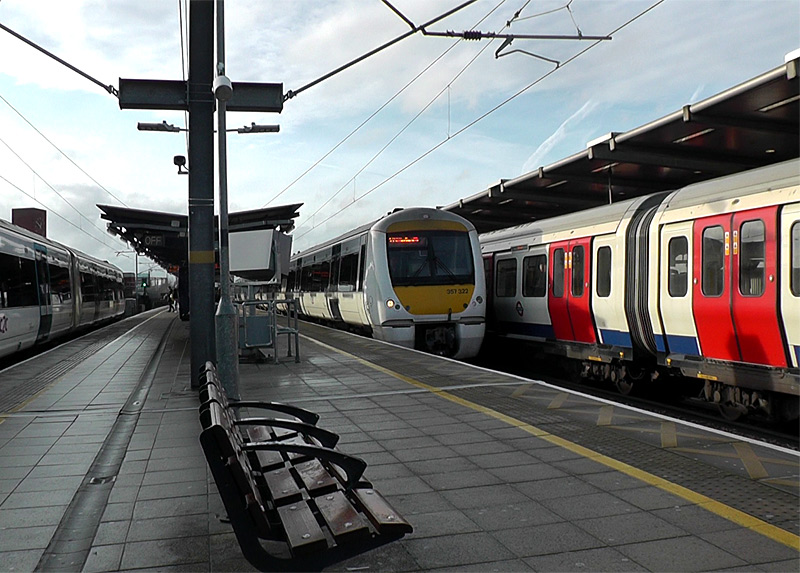
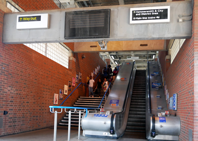
'Main line' is an older, less frequently used term for what nowadays is more usually called National Rail.
- Stratford: (east London). This very busy station is probably also London's most confusing station.
Although the highest numbered platform is No. 17 there are actually 21 platforms, including two platforms which are not used and four platforms with the suffix 'a' or 'b'.
To further add to the confusion platforms 1 & 2 are next to platform 12 whilst platform 3 is at the opposite end of the station and there are two sets of platforms (at different parts of the station) for the two different routes served by the Docklands Light Railway. The reasons for this are historic.
Changing the platform numbers to something more logical would require many changes to the main line railway's signalling systems which tell the train drivers which platforms they will be passing through, and since this change will be solely cosmetic (ie: will not improve safety and is not needed because of changes to any tracks) it was decided that this could not be justified financially - so will have to wait until another day.
Note that to avoid confusion with other British railway stations this is also sometimes known as Stratford (London) and Stratford Regional.
The two other stations are Stratford International
and Stratford-upon-Avon.
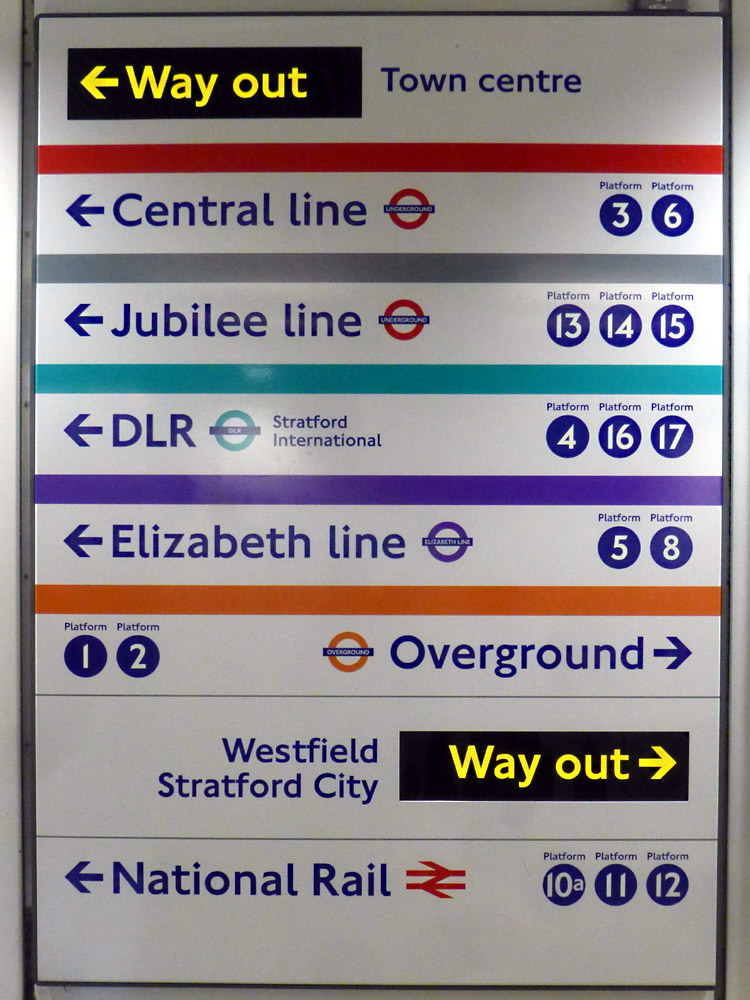
this station and for the taxi rank. The Westfield shopping centre entrance is just behind the larger version of the taxi rank sign.
Above the blue taxi is part of the footbridge over the station.
and station exits - the two bus stations are not shown.
Also not shown are platforms 9 and 10 - this is because
this sign is opposite a stairway from platforms 9 and 10.
This plaque is located on Jubilee line platform 13.
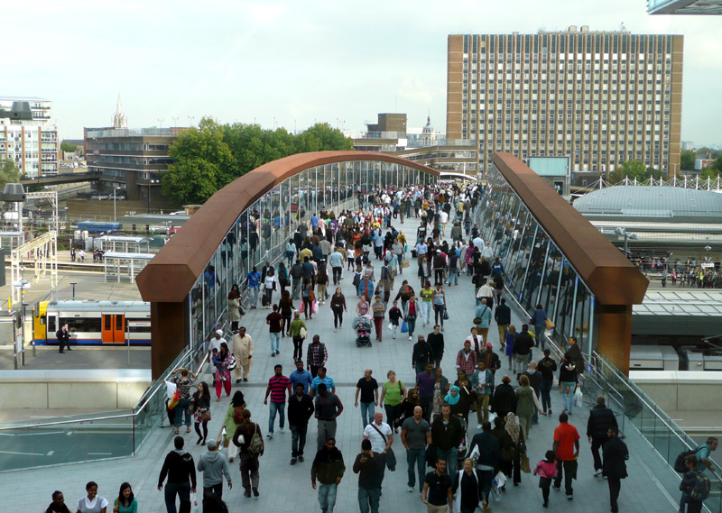
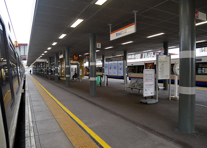
This view was filmed from the Westfield centre; a London Overground Class 378 train can be seen at platform 2.
The footbridge is for the general public and outside of the station's fares paid area.
Views From The Footbridge Over The Station - Looking East
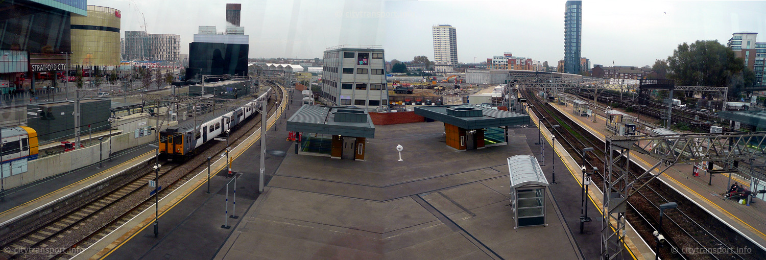 The trains seen here are: London Overground Class 378 train at platform 2, Greater Anglia Class 317 train on the Cambridge service at platform 12. For many years there were buildings on the triangular shaped platform between what is now platforms 11 and 10a. However they became derelict and were removed. Further right can be seen platforms 10, 9 and the eastern end of platforms 8 and 6. This picture was stitched together from two images. |
|
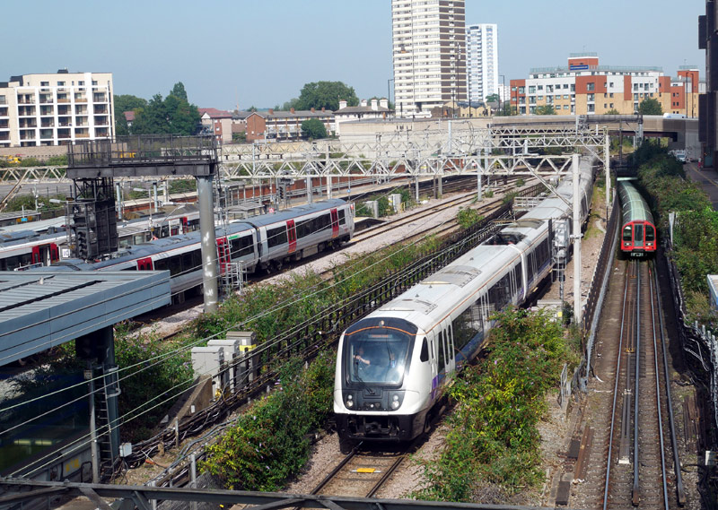 The trains seen here are: London Overground Class 378 train at platform 10a (only its white roof is visible), Greater Anglia Class 755 InterCity train at platform 10, Greater Anglia Class 720 train at platform 9, Elizabeth line Class 345 train arriving at platform 5, London Underground Central line 1992ts train arriving at platforms 3 + 3a. |
Views From The Footbridge Over The Station - Looking West
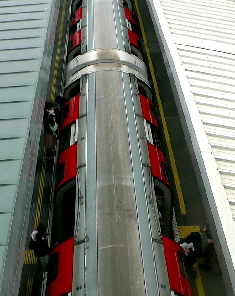 |
|
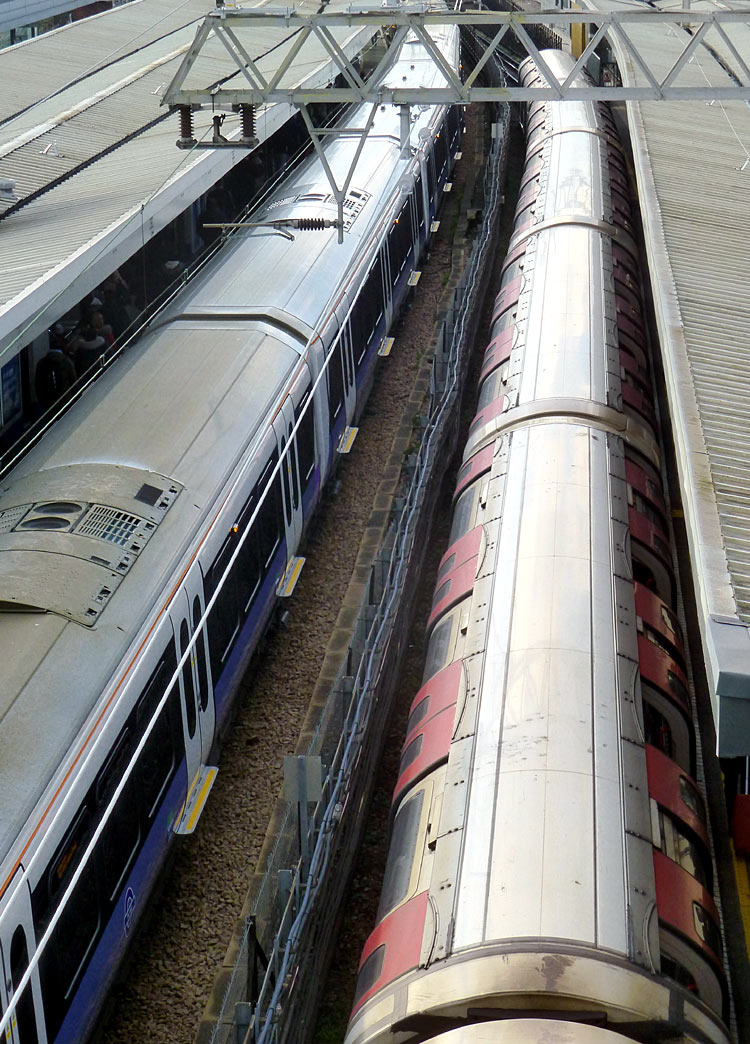 |
|
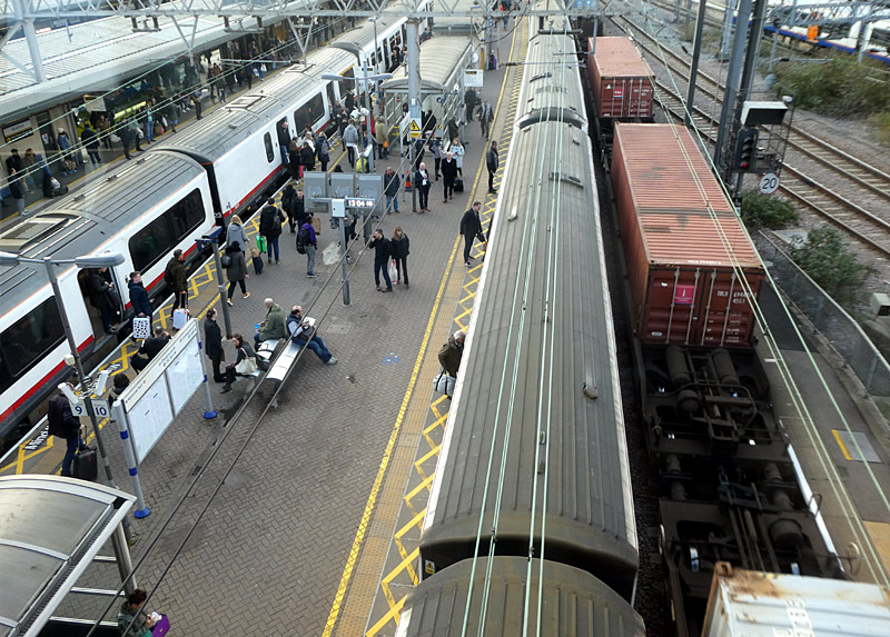 |
| A westbound 1992ts (tube stock) Central line train calls at platforms 3a and 3 - note that the doors are open on both sides of the train. | |
A westbound Elizabeth line Class 345 train at platform 5 and an eastbound Central line 1992ts train (with its doors open on one side) at platform 6. | |
Platform 8 (far left - no train), Greater Anglia Class 321 trains at platform 9 and 10, a container train passing by platform 10a. Unfortunately when this part of Stratford station was rebuilt in the 1990s the new platforms 9, 10 and 10a were not given full length platform shelters so they are very unpleasant to use in wet weather. |
Platforms 1 and 2 are used by London Overground (
Platforms 1 and 2 are used by London Overground (Mildmay line) trains travelling to Richmond or Clapham Junction via Willesden Junction. These are new platforms which opened in 2009. Originally they were going to be called platforms 12a and 12b (as they are next to platform 12), but instead when the trains were relocated to here from the low-level tracks they kept their old platform numbers.
Platforms 3, 4, 5 are an island platform used by westbound Central line trains (platform 3) and main line trains - mostly Elizabeth line (platform 5) travelling towards Paddington station / Central London. Note that westbound Central line trains open their doors in both sides, with the other platform being No.3a. Platform 4 is no longer used, it was built for local services to Fenchurch Street station but despite all the works having been completed the new service was cancelled. It was later used by the Docklands Light Railway trains which now use platforms 4a and 4b. There are three platforms here because the Central line trains are much shorter than the main line trains, making space for platform 4 at the western (London) end of the station.
Platforms 4a and 4b are used by the Docklands Light Railway for services to Canary Wharf, Greenwich and Lewisham. To make life easier most wayfinding signage at the station still refers to these trains as using platform 4.
Platforms 6, 7, 8 are an island platform used by eastbound Central line trains (platform 6) and main line trains (platform 8). The Central line trains will be travelling towards Epping, Hainault etc. Normally platform 8 is used by Elizabeth line local trains which call at all stations to Shenfield, but sometimes it is also used by trains to other longer distance destinations, such as Southend-On-Sea, Chelmsford, Colchester, Braintree, Ipswich, Norwich, etc., and (usually only at weekends / holidays and the main Christmas shopping season) C2C Class 357 trains to Southend Central and Shoeburyness via Barking, Platform 7 has never been used - it was (also) built for local services to Fenchurch Street station but despite all the works having been completed the new service was cancelled. There are three platforms here because the Central line trains are much shorter than the main line trains, making space for platform 7 at the western (London) end of the station.
Platforms 9, 10, 10a are mostly used by longer distance trains from Liverpool Street station travelling to the part of England known as East Anglia. Some trains stop here, some do not.
Many freight trains also pass through these platforms and this helps explain why three platforms are needed. Normally westbound (London) trains call at platform 9 and eastbound trains at platform 10,
but all three tracks are bi-directional... for instance; I have been on eastbound trains which use platform 9 one day and platform 10a another day.
Platform 10a is also sometimes used by London Overground North London / Mildmay line trains instead of making trains queue to enter platforms 1 or 2 when these are both occupied.
Platforms 11 and 12 are usually used by trains to Stansted Airport and Cambridge - mostly platform 12, as platform 11 can only be used by through trains and the trains to / from Cambridge terminate here.
Platform 11 is also sometimes used by London Overground North London / Mildmay line trains instead of making trains queue to enter platforms 1 or 2 when these are both occupied.
Platforms 13, 14, 15 are used by Jubilee line trains. These are at the opposite end of the station and at a lower level (downstairs). These platforms date from the 1990's and the numbers continued on from the already existing platform number scheme, even though (when first opened) they were next to what at that time were platforms 1 and 2!
Platforms 16 and 17 are used by Docklands Light Railway trains travelling from Stratford International station (which is at the other end of the large shopping centre) and Canning
Town / Beckton / City Airport / Woolwich Arsenal.
Until 2009 these were platforms 1 and 2, this explains why the westbound Central line platform became No. 3.
Sometimes at the weekend track maintenance works requires the local 'all stations' trains Elizabeth line, etc., which normally call at platforms 5 & 8 to be diverted to platforms 9 / 10 / 10a instead OR the longer-distance Greater Anglia trains which normally call at platforms 9 / 10 / 10a to be diverted to platform 5 (westbound) and platform 8 (eastbound).
This page in the National Rail website includes much information about Stratford station and a map showing the platforms:
http://www.nationalrail.co.uk/stations/SRA/details.html
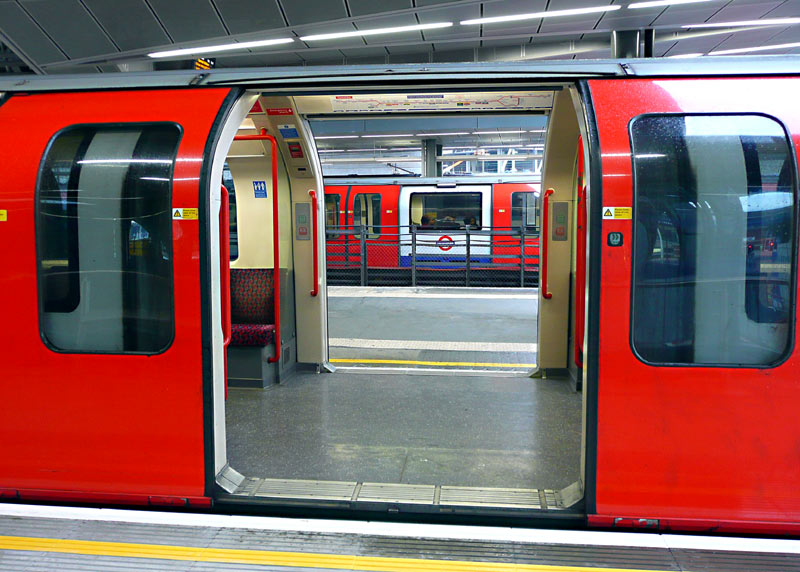
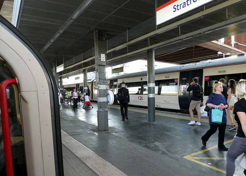
doors on both sides. This view was taken on platform 3a
Mostly the latter are Elizabeth line trains but services operated by Greater Anglia also use these platforms - and sometimes also C2C*.
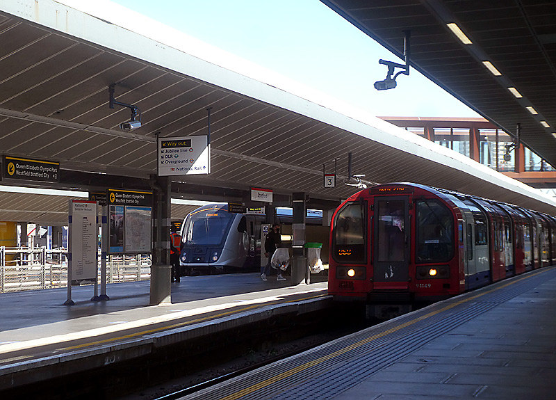

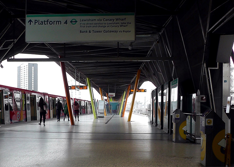
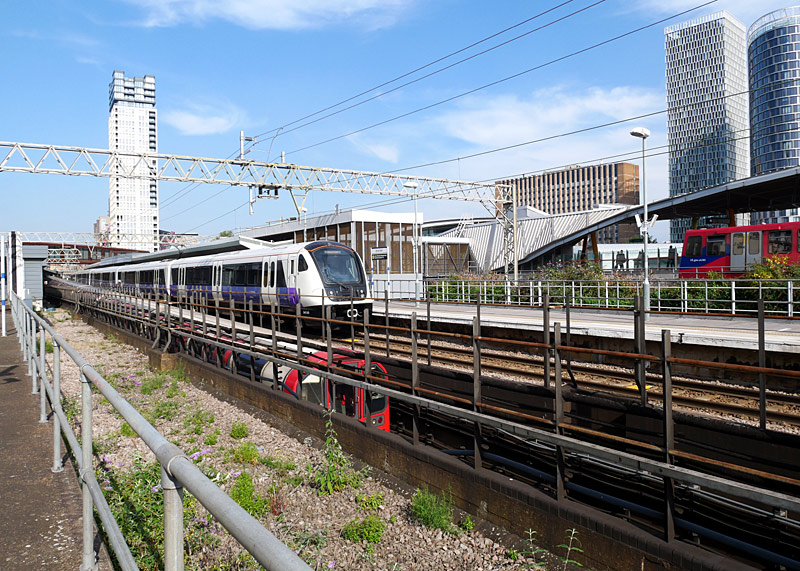
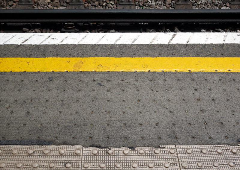
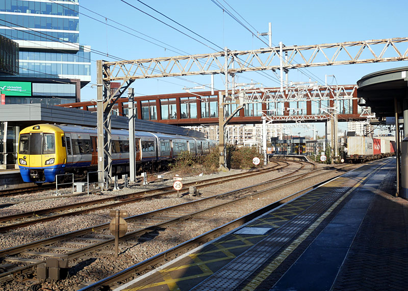
This is found on part (not all) of platforms 3, 5, 6, 8 (mostly used by Central and Elizabeth line trains) plus the never used platform 7.
The Low-Level Concourse
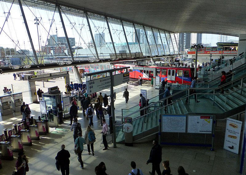
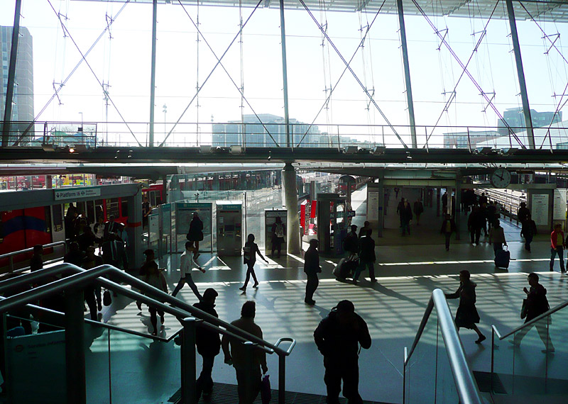
In the far distance, about 2/3rds up on the right edge of the image, is the short walkway to the DLR platforms 4a and 4b (as per arrow).
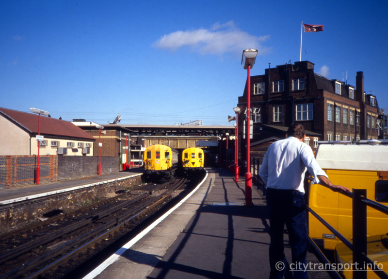
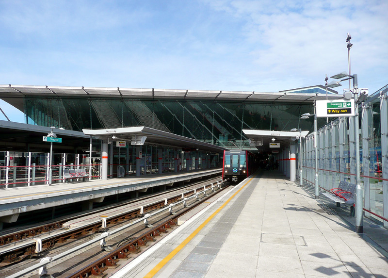
Richmond - North Woolwich North London Line service
calling at the (then) platforms 1 and 2.
The area to the left of the image is now used by the Jubilee line.
A DLR train on the Stratford International - Canning Town - Beckton / Woolwich Arsenal service arrives at what is now platform 17.

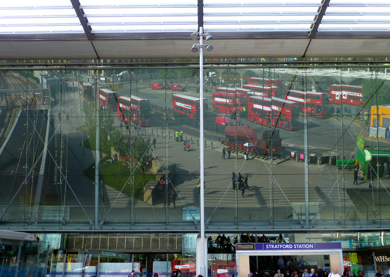
and show reflections from the glass sheets that allow light into the station building.
a DLR train arriving at platform 16.
The steam locomotive is called Robert.
Station Architecture & Features
Being an older system which dates back to the 1860's London Underground stations feature a wealth of both aged and contemporary structures and whilst over the years some of the older buildings have been modernised and even rebuilt out of all recognition, others partially or even fully survived in their original forms long enough for their historic ambiance to be recognised and even celebrated in the present - day era.
As a general theme stations dating from the Victorian and Edwardian-eras can be found:-- on all the subsurface UndergrounD lines (Metropolitan, District, Circle, Hammersmith & City),
- much of the London Overground network,
- the 'open air' stations of the Elizabeth line,
- the 'open air' sections of the Piccadilly line in west London (although many of these were rebuilt in the 1930s)
- the Central line east of Leyton and Northern line north of Finchley Central - both of these were converted from London & North Eastern Railway (LNER) steam trains to London Transport electric tube trains in the period 1939 - 1949.
The Victorian era was during the reign of Queen Victoria, 1837 - 1901. The Edwardian era was during the reign of King Edward ll 1901 - 1910, although it is usually seen as ending at the start of WW1 in 1914, when King George V was the British Monarch. Since then eras stopped being named after our Monarch, instead we have been in the Modernist era. However in the future historians may decide to call 1952 - 2022 the second Elizabethan era, after Queen Elizabeth II.
The 1930's saw much expansion of the London Underground with many brand new stations plus older stations rebuilt in an architectural style called Art Deco. These too have often become of historic interest.
This section primarily looks at a few of the more noteworthy stations. More such stations - plus some more modern stations - can also be found in the relevant sections about the different Underground lines, London Overground, the DLR, etc.
Note that although not specified in the image comments below, since 2000 many stations on the Underground have seen much refurbishment and installation of new safety systems and CCTV camera systems. Typically stations were refurbished in a way designed to retain what is now seen as their 'heritage' styling, with (especially) platform walls often being retiled on an almost ‘like for like’ basis.
Before looking at the stations, a few words on several generic station topics that will also be of interest.
Accessibility
In an ideal world every station would be fully accessible - and for 'new build' accessibility is part of the design brief, This usually also applies when older stations are rebuilt, eg: with a new, larger, ticket hallHowever, most of London's railways were built in eras when accessibility was not even thought of and whilst, in recent years many stations have been (and are continuing to be) made fully accessible there is still much to do. Of course the cost of the work is the primary reason why progress is slow.
Typically what is required to make a station accessible is to install one (or several) lifts (elevators in the American dialect) between street level and the platforms.
However, especially for people who use wheelchairs the gap and height difference between the platform and the train floor can also act as a barrier to travel.
Where the train floor is lower than the platform the most usual solution is to use an accessibility ramp which is deployed by a member of station staff who (for safety reasons) will have been trained on its use. This might need to be arranged before travelling.
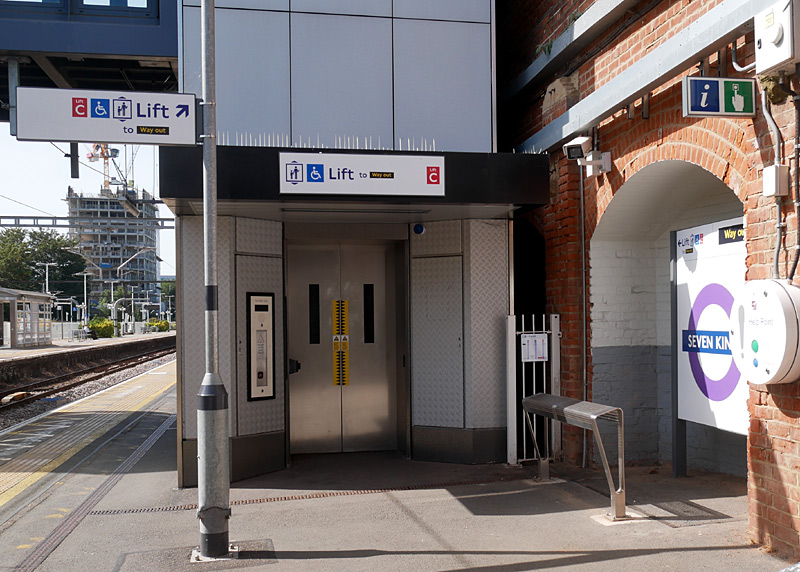
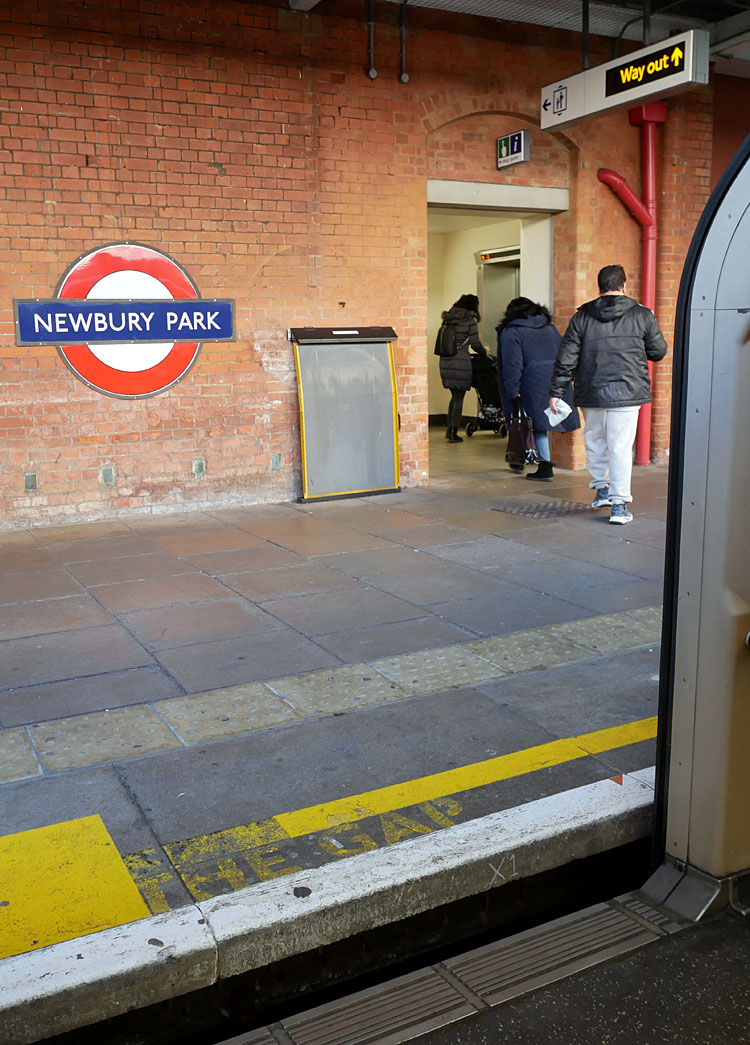
Especially at stations where the train floor is lower than the
platform wheelchair passengers also need to use an
accessibility ramp, such as is seen here - leaning on the wall.
By way of contrast, a solution which has found favour at stations where the train's floor is higher than the platform is installing a raised section of platform. Here in the UK this is often called a Harrington Hump, because Harrington was the first National Rail station to use this solution. I feel sure that the first British use of this concept was actually on the London Underground, but as this is not part of the state-owned railway system so its use here is not recognised by the National Railway system.
Installing the lifts benefits many more passengers than just wheelchair users - especially people with heavy luggage and parents with children in pushchairs / strollers / buggies. Usually these passengers can cope with height differences between the platform and train's floor.
Finding space to install lift shafts at railway stations where the platforms (and perhaps also the ticket offices) are underground can be very challenging as there can be a myriad of water, sewage and other pipes in the way and also care has to be taken to ensure that digging a lift shaft will not affect the structural stability of the station (and other) buildings. In theory there will be paper records showing what pipes are where but records do become mislaid and especially at stations that were damaged during WW2 any ad-hoc emergency repairs may not have been (properly) documented.
Many deep level tube stations were originally built with lifts - but typically there were still passageways with steps between the lift's lower landing and the platforms. It would seem logical that simply digging down even further and possibly also digging new access passageways would be a simple enough task, but if this was the situation then it would have been done! Another issue is that disused lift shafts are often repurposed for ventilation.
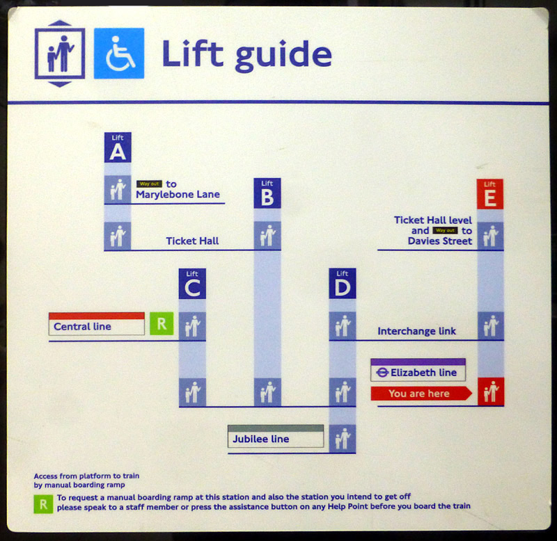
A significant hazard which is still to be resolved is the sometimes large gap between part of the train and platform at stations with curved platforms.
Possibly these stations could become accessible to wheelchair users when there is a member of staff using a ramp - or several family members who are physically able to ensure safety.
The gap also poses a very severe risk to people with limited eyesight - indeed at some stations the situation is such that unaided people with limited or even zero eyesight should not use these stations.
The reality is that such platforms can be hazardous to everyone - even the able-bodied - so everyone must exercise great care to ensure their safety.
Fortunately there are relatively few such stations in London - but it only needs a moment of carelessness at one of them for a very bad event to occur.

Getting Lost!
Sometimes finding the way around busy stations can be somewhat challenging. Especially stations that are served by many lines / services where there are many platforms and a virtual labyrinth of passageways between them and the stations entrances / exits. This makes it become possible to become lost. In London all Underground lines have a name, which should help. Where lines split in to two or more suburban branches it is best to look for the last station to work out where the branch is going. This solution is only partially helpful on the Northern line which has two branches through Central London. Whilst this can cause confusion the easy solution is to look to see whether the train is advertised as travelling via Bank or Charing Cross.
Many visitors to London become confused and even lost when travelling on the SubSurface network - the Circle, District and Hammersmith & City lines. This is because they all use the same trains and inside them there are several different paper route maps. Even worse, the route maps do not have little lights next to the station names showing where the train is going. Whilst there are electronic display screens the information they show scrolls (ie: is changing all the time) so they only show the information for a short while.
The DLR does not have individual line names, and whilst it also has a complex service pattern only Stratford and Canning Town have platforms spread out at different parts of the station in a way that can be confusing to visitors. Canning Town is perhaps the most difficult because trains to some destinations (eg: Beckton, Woolwich Arsenal via London City Airport) call at different platforms depending on where the train came from.
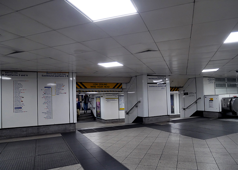
District line (left); Hammersmith & City and Circle lines (right). and there are insufficient language neutral^ ways of informing passengers which map is relevant for that journey
Many tourists become confused - because they look at the wrong map!
It also does not help that the platforms for the northbound and southbound Northern line (Charing Cross branch) are at different parts of the station.
^language neutral means that it is suitable for people who do not understand English - or even cannot read our alphabet but understand pictograms
Some Stations
Barons Court has what is perhaps one of London's most ornate UndergrounD station buildings. Built in an Edwardian Baroque style and designed by
HW Ford this station opened in 1905.
The steps to the platforms and the platform canopies date from a 1931 partial rebuild and are less ostentatious.
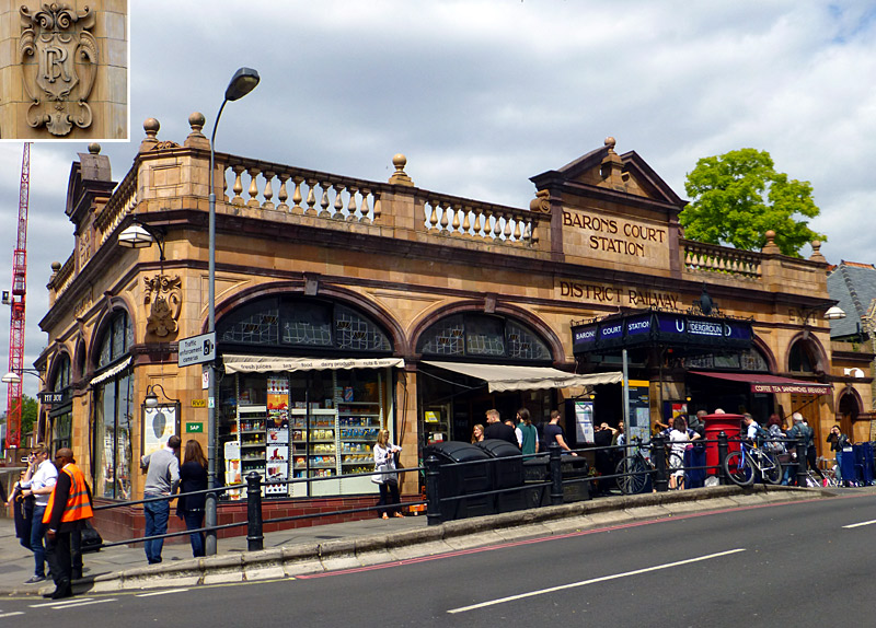 |
|
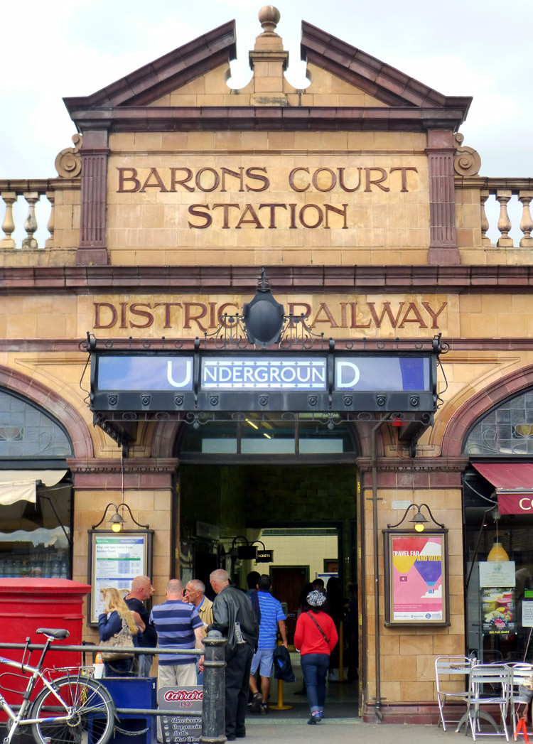 |
|
 |
Either side of the ornate station entrance are 1920's bronze information panels with swan-neck lamp brackets and globe lamps. The south-east corner has a cartouche with the DR (District Railway) monogram plus bronze information panel and lamp. As the cartouche is in shadow it is also seen in an inset. The retail shop fronts feature three section art nouveau glazing above their picture windows.
The ticket hall features distinctive green tiling with a frieze of darker green tiles with sunburst motifs (as seen in the inset). There are two pedimented ticket windows, each with a bronze illuminated box sign above them, which were added later. Although the ticket office windows are no longer used they have been retained to preserve the station's visual integrity.
Barons Court station is now a Grade ll listed building, read more:
https://historicengland.org.uk/listing/the-list/list-entry/1358562
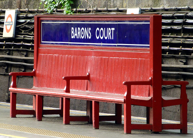
Also at Barons Court station are these original and unique
(on the London Underground) back-to-back wooden bench seats.
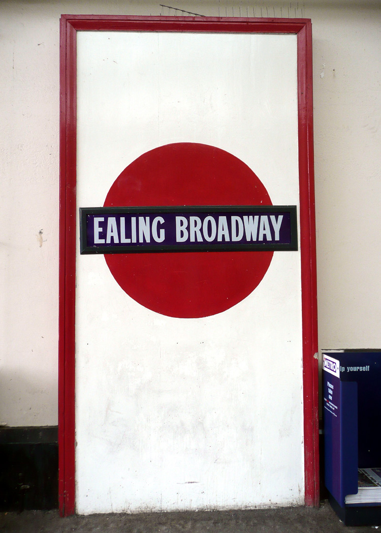
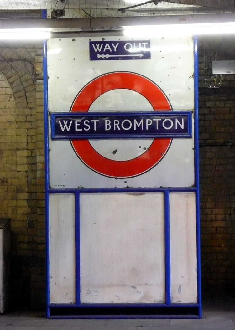
The solid disc sign at Ealing Broadway dates from before Edward Johnston designed the familiar roundel in 1919.
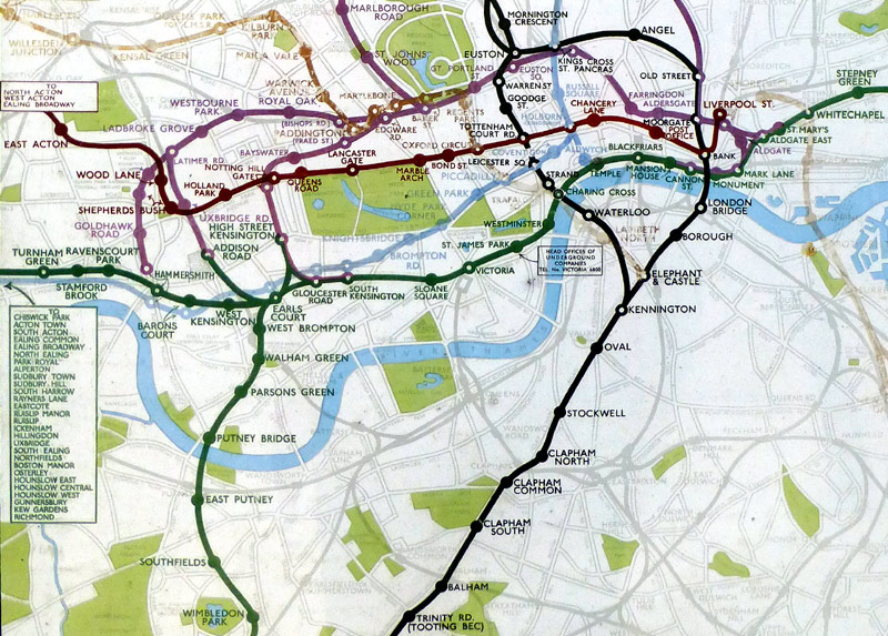
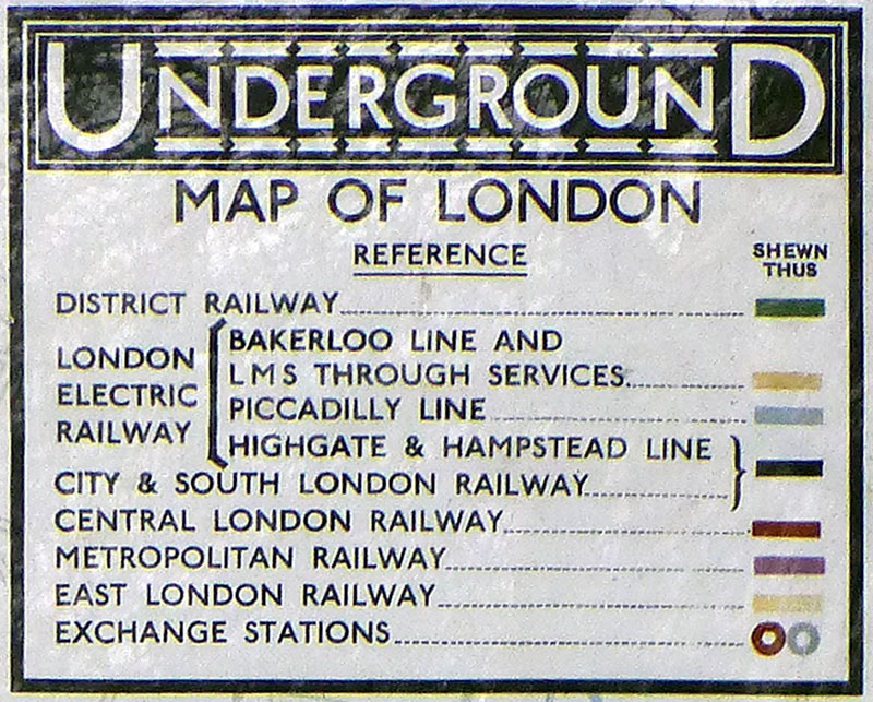
Note that not all the services shown on the map still operate and that the Bakerloo, East London and Piccadilly lines have partially faded.
In those days the Moorgate - Finsbury Park Northern City line was owned by the Metropolitan Railway.
Underground stations with Victorian and Edwardian-era buildings which were built in the steam train era can be found on all the subsurface Underground lines plus the 'open air' sections of the Central line east of Leyton and Northern line north of Finchley Central. These two routes also date from the steam train era and only some of them were rebuilt to a more modern design when they were converted from London & North Eastern Railway (LNER) steam trains to London Transport electric tube trains in the period 1939 - 1949.
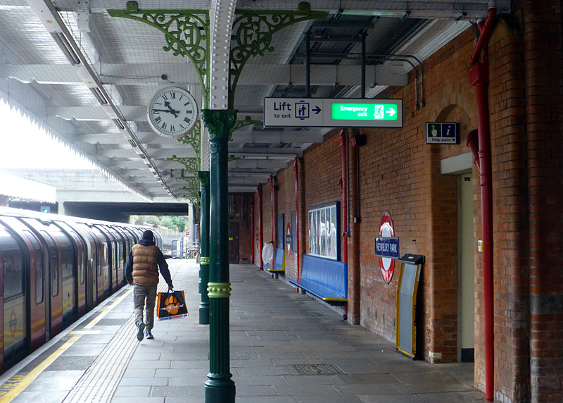
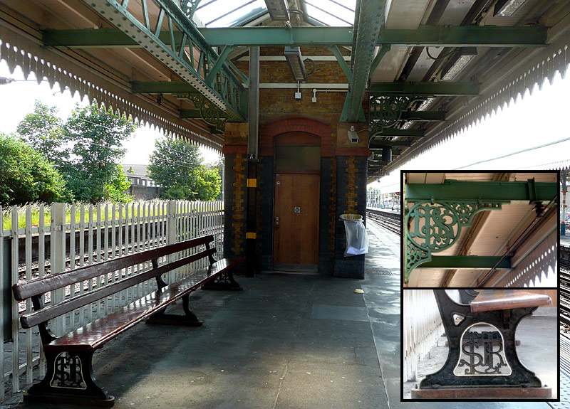
This station also retains a few original (and very rare) GER wall-mounted bench style platform seats.
 |
|
 |
|
 |
The up/down signs are actually British Railways (Eastern Region) heritage features - most stations between Bow Road and Upminster Park only switched to London Transport ownership in the late 1960s.
Right: Grit spread on a stairway on a cold winter morning, as filmed at Leytonstone High Road London Overground (Suffragette line) station.
Roofing stairways between ticket halls and platforms is not just 'a nice thing' - it provides some serious safety benefits too - especially as many passengers do not hold a handrail when using steps and if someone was to slip over in ice they could experience a very nasty fall.
Yes, OK, but these stations are from an older era and modern people prefer more modern stations
Of course London's Underground does have some ultra modern station buildings. The most impressive of these are to be found on the Jubilee line (especially the portion built in the 1990s between Westminster and Stratford) as well as the Battersea branch of the Northern line and the central London portion of the Elizabeth line.
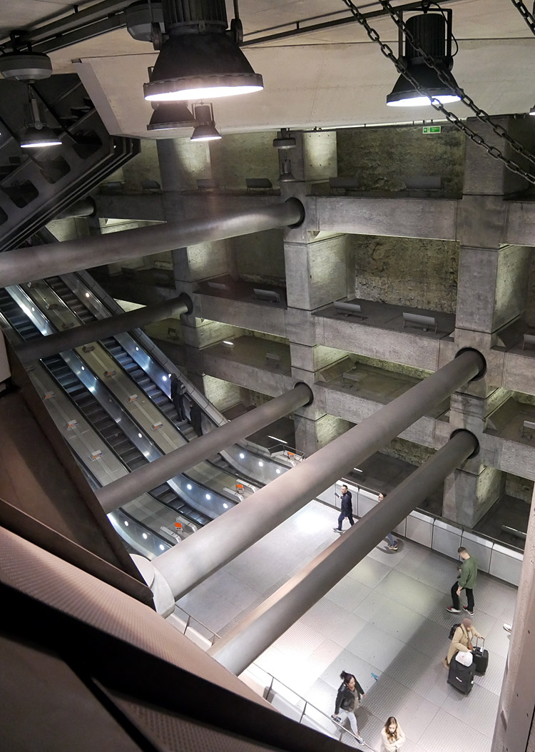

Right: London Bridge - two of the accesses between the circulating area and the platforms, with a train having just arrived and the doors about to open.
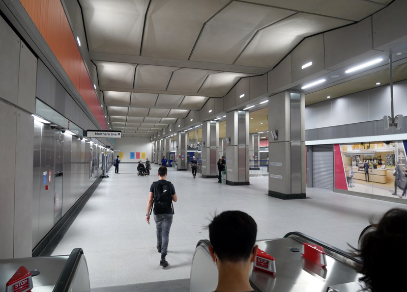
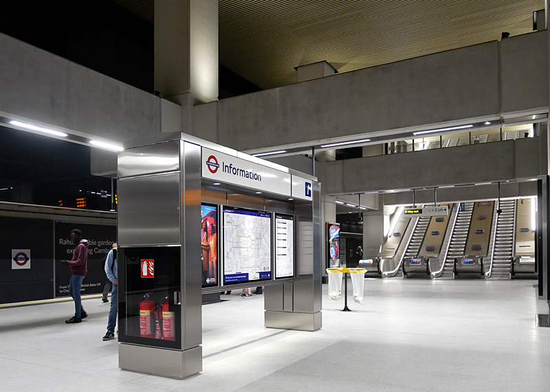
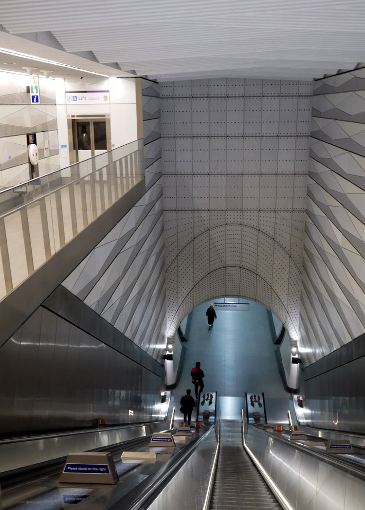
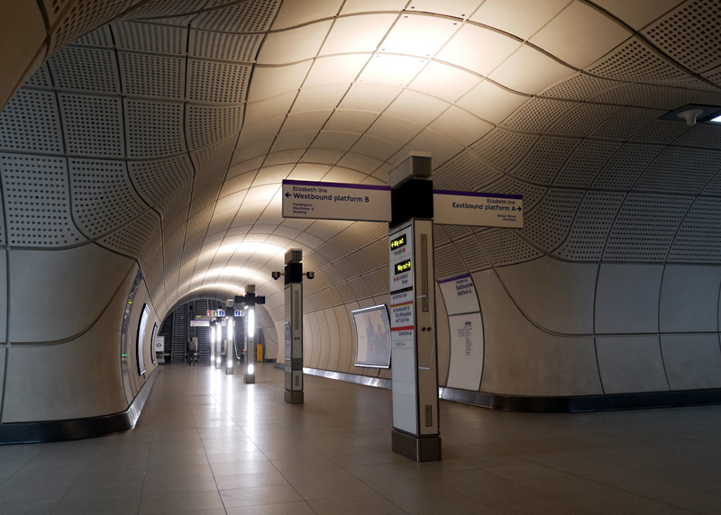
Right: The passageway between the platforms at Liverpool Street station, with the escalators to the rebuilt ticket hall at Moorgate in the distance.
Most stations on the Docklands Light Railway (DLR) and Croydon Tramlink are modern 'glass and metal' structures. Especially on the DLR the station designs vary depending on when they were built.
For the rest of London's railways (including the London Overground Network) the fate of the station buildings largely depends on whether the routes have always been busy or the stations have been replaced / downsized as economy measures. For example, if you travel on the London Overground Stratford - Richmond North London / Mildmay line or the Gospel Oak - Barking Riverside (GOBLIN / Suffragette line) you will see many stations where British Railways knocked everything down and nowadays there is nothing much more than ‘bus stop’ shelters on the platforms and the smallest possible ticket office building designed to be suitable for just one person. eg: Finchley Road and Frognal.
As a general theme stations on routes which were once served by steam trains but in the 1940's became part of London Transport have been preserved better than those which remained part of the national railway network.
Sometimes the older stations are actually more functional than present-era stations for which the designers often seem more interested in what might look good than whether it actually performs well.
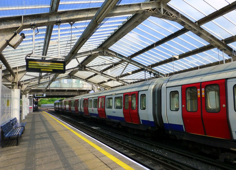
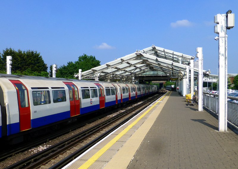
as part of a new road project and the replacement station is of the contemporary design which younger people desire.
It is bright and airy, with translucent / clear glass brick walling and a very welcome platform shelter which extends part-way along the platforms.
But it has to be asked what the younger generation think about the white RSJ H shaped metal columns (with peeling paint)
and what look like ‘el cheapo’ residential ‘car porch’ style platform lights?
Their thoughts are that a modern railway should have stations that feature cutting edge glitzy designs which use modern materials such as concrete, metal and glass (or similar).
So maybe these people will prefer stations such as Hillingdon (above) with its functional but visually plain RSJ H shaped columns and car porch lights - and dislike the ornate circular columns often found at older stations - such as seen at Woodford station in the image on the right?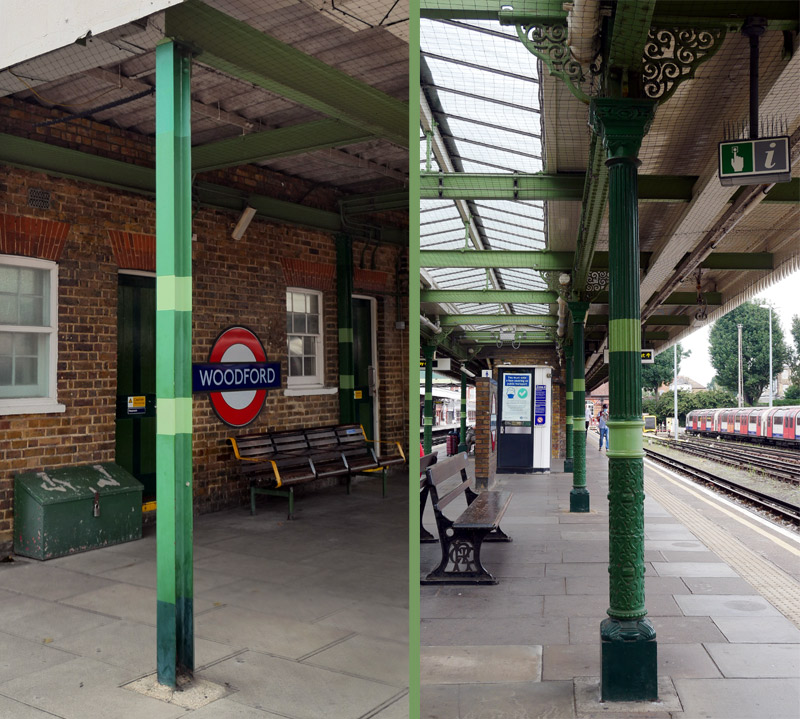
Platform canopy support pole variations, at Woodford Central line station - would some people actually prefer it if the historic ornate round versions were replaced by the plain H shaped RSJ versions?
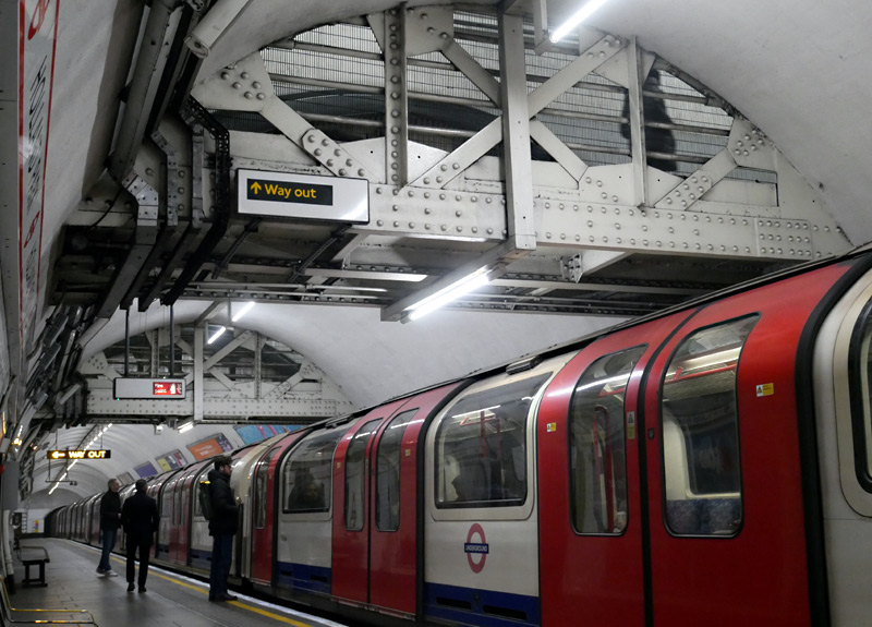 |
|
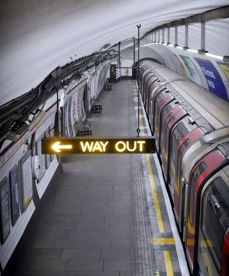 |
|
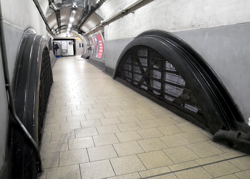 |
This example is Holland Park on the Central line.
Beware! The metal grilles are usually somewhat dusty - so be careful to avoid touching them - especially if wearing light coloured clothing.
Typical Edwardian Era Tube Stations
Designed by the architect Henry Green, London‘s Covent Garden station is typical of the over 40 stations built in the first decade of the 20th century by the Underground Electric Railways Group (UERG) for what nowadays are known as the Northern, Piccadilly and Bakerloo lines.
The UERG corporate style included distinctive ruby red glazed bricks and - to maximise financial income from the valuable land space - a structure which permits several floors of offices to be built over it.
The design brief included placing the distinctive London Transport roundel symbol on the side of the building where it could be seen by people elsewhere along the road and act as a ‘homing beacon’ making the station even easier to find. Typically these were illuminated at night.

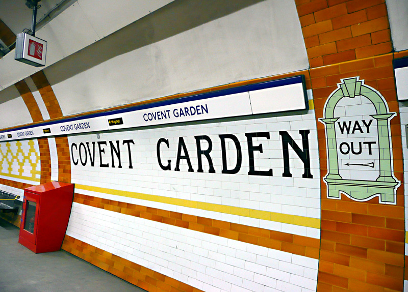


Whilst some of them have been rebuilt with escalators, Covent Garden still uses lifts and being at the heart of an area which is very popular with both locals and tourists this station is often so busy that even with four lifts crowding is commonplace. To avoid the crowds some passengers use the emergency spiral stairway instead, although this is discouraged - because the distance between the upper and lower levels is equivalent to that of a 15 floor building!
When built these 40 stations featured their own unique wall tile patterns and colour schemes - this was done because in those days not
everyone
was able to read and these differences helped regular passengers to identify where they were and when they had reached their destination station.
Nowadays only some of these stations still retain their original decorative tiling patterns and colours. Especially in Central London many of these stations have been 'modernised' with very different wall tile designs, a few of these stations have also been closed.
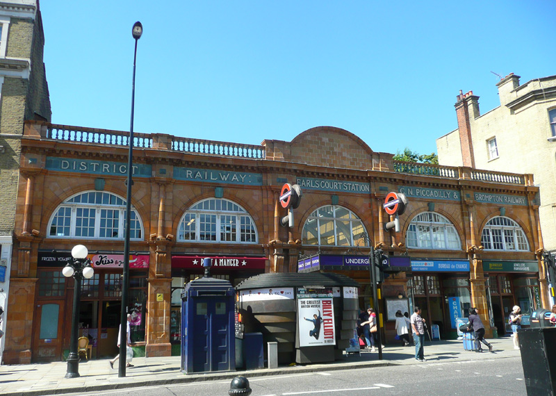
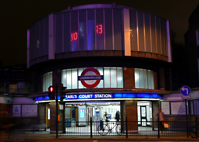
the railway company's names in a frieze near the top of the frontage.
This was built in 1915, to a design by Harry Ford.
In sunny weather this is best photographed before midday.
in the mid 1930’s to serve a new Earls Court Exhibition building.
This image also shows the additional glass rotunda which in the 1960’s was added above the 1930’s entrance.
1930's Art Deco Stations
In the 1930's many new stations were built (and some existing stations rebuilt) in connection with extensions to the Piccadilly, Northern, Bakerloo‡ and Central lines. Typically the stations built by London Transport were designed by Charles Holden (who worked at the Adams, Holden and Pearson architectural practise) and followed a European geometric Art Deco style using brick, reinforced concrete and glass.
‡In 1979 the Bakerloo line's Stanmore branch became part of the Jubilee line.
More information about 1930's and immediate post war London Underground stations (and other buildings) built in Art Deco and Modernism styles can be found at the two links below.
The first link also explores the Metro-Land phenomena designed to create new residential areas where the inhabitants would become passengers of the Metropolitan Railway:
http://www.modernism-in-metroland.co.uk/metro-land-and-modernism.html
http://www.modernistbritain.co.uk/browse/tag/transport/
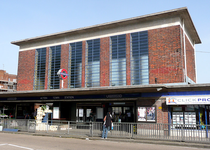
Acton Town station is typical of many of the 1930’s Art Deco stations where the ticket hall is capped with a flat concrete slab roof and the brick walls are punctuated with panels of clerestory windows.
Designed by Charles Holden this station was rebuilt
prior to the District line service to Rayners Lane
and Uxbridge being replaced by the Piccadilly line.
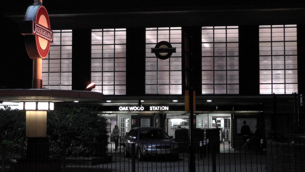
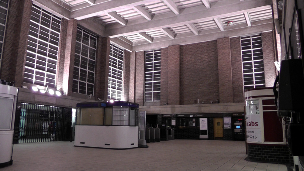
these views show the ticket hall as illuminated during the hours of darkness.
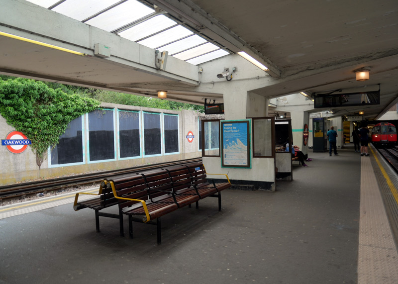 |
|
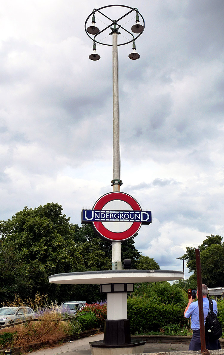 |
|
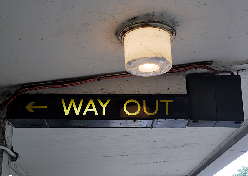 |
Left: A platform view. Middle: The full lighting column as seen in the view above-left. Right: A closer view of the Art Deco glass lamp shade and signage.
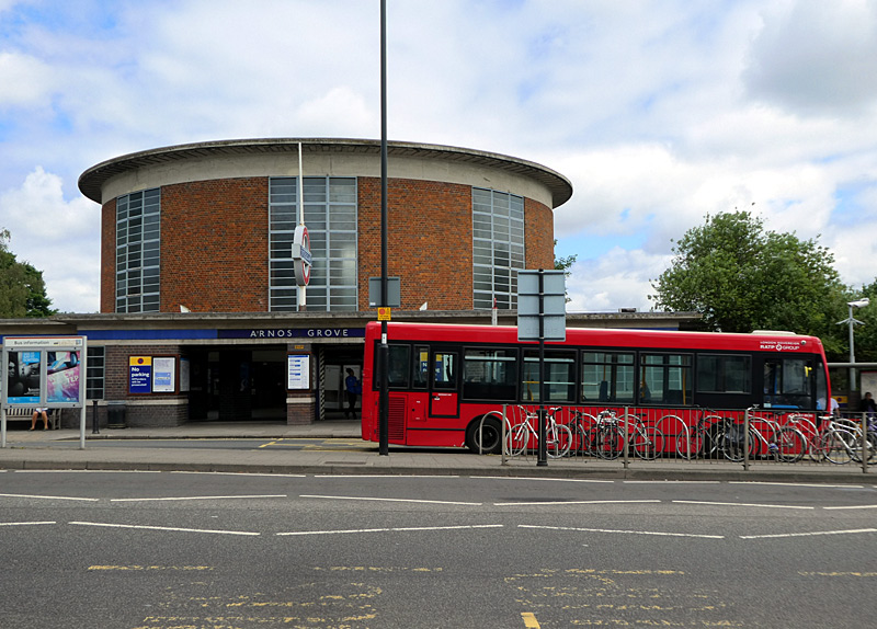 |
|
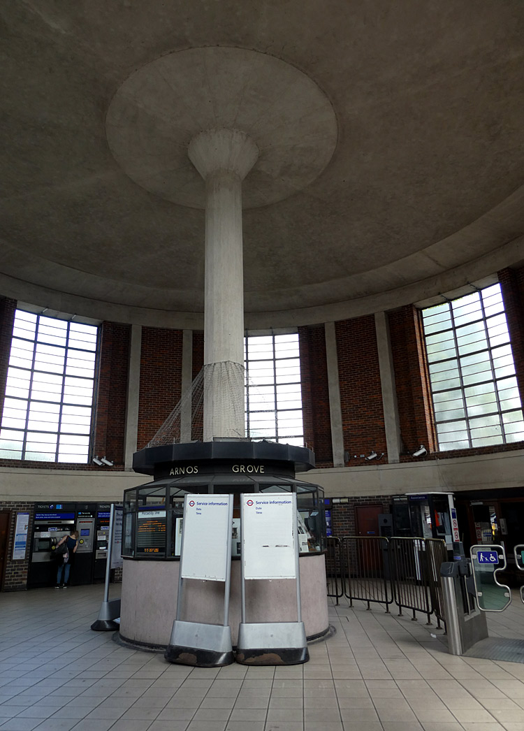 |
|
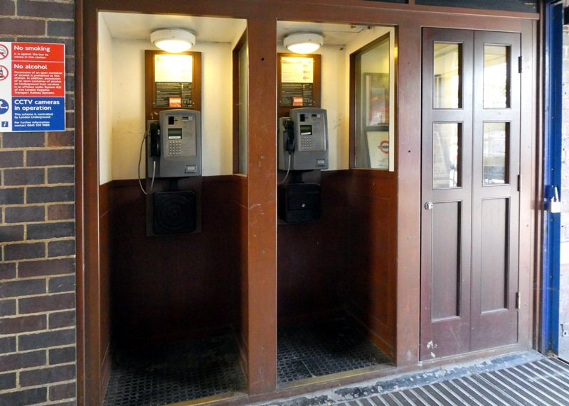 |
The station frontage includes a bus interchange, albeit only for buses travelling in one direction (or terminating here).
Buses travelling in the opposite direction call at traditional kerbside bus stops - as seen in the somewhat faded road markings.
The single concrete support column in the middle of the station building is another common architectural feature.
When this station was refurbished the telephone booths were restored too. At one time they all had twin leaf folding doors, unfortunately the doors for the two booths with working payphones had to be removed to deter people with ill-intent from leaving explosive devices where they can not be seen when the doors are closed. To maintain the visual effect the third booth retains its door - but this is fixed closed.
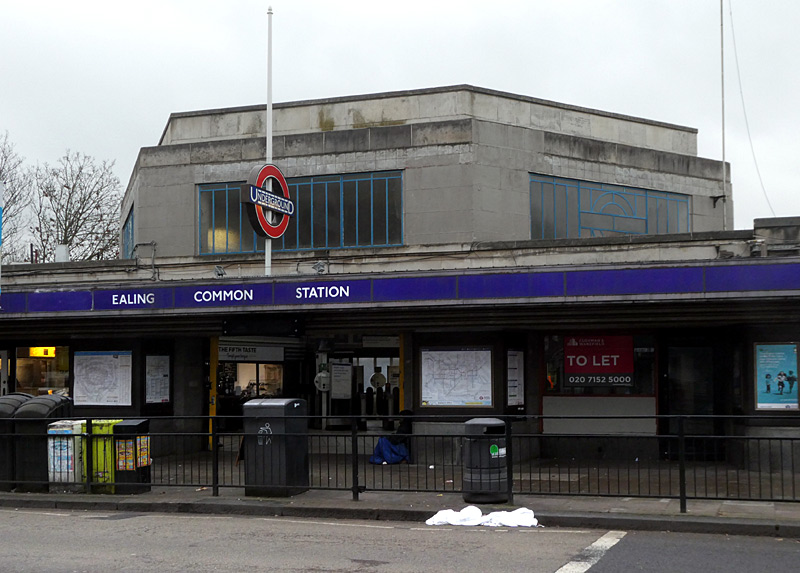
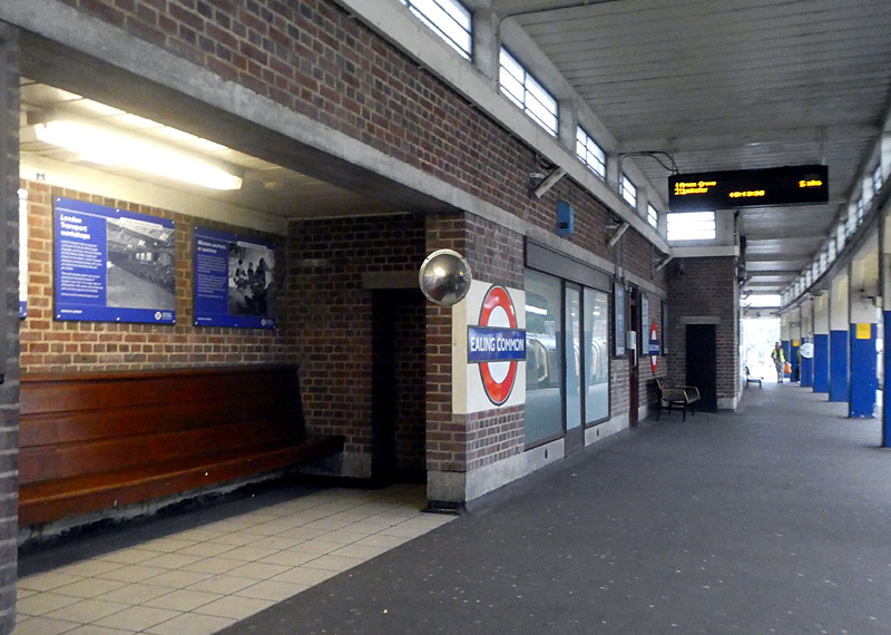
which is served by District and Piccadilly line trains. It was designed by Charles Holden with Stanley Heaps as the on-site supervisor.
This station building also includes some design cues from the 1920’s Northern line extension in south London.
This includes the use of Portland stone cladding on the tower and Aberdeen granite cladding below the tower.
The image above-right shows a recessed seating bay on one of the platforms.
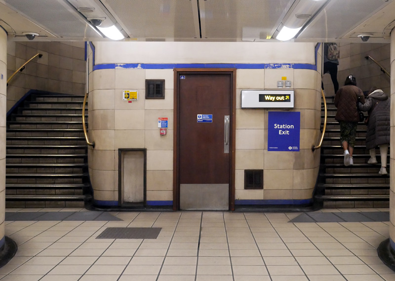 |
|
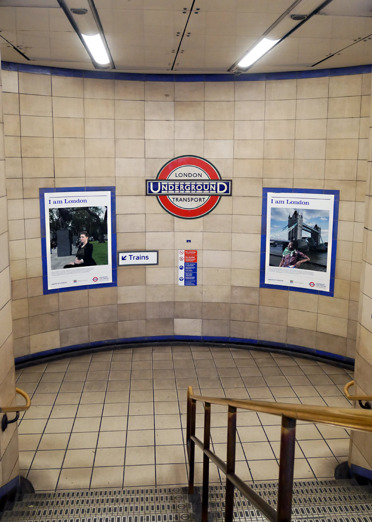 |
|
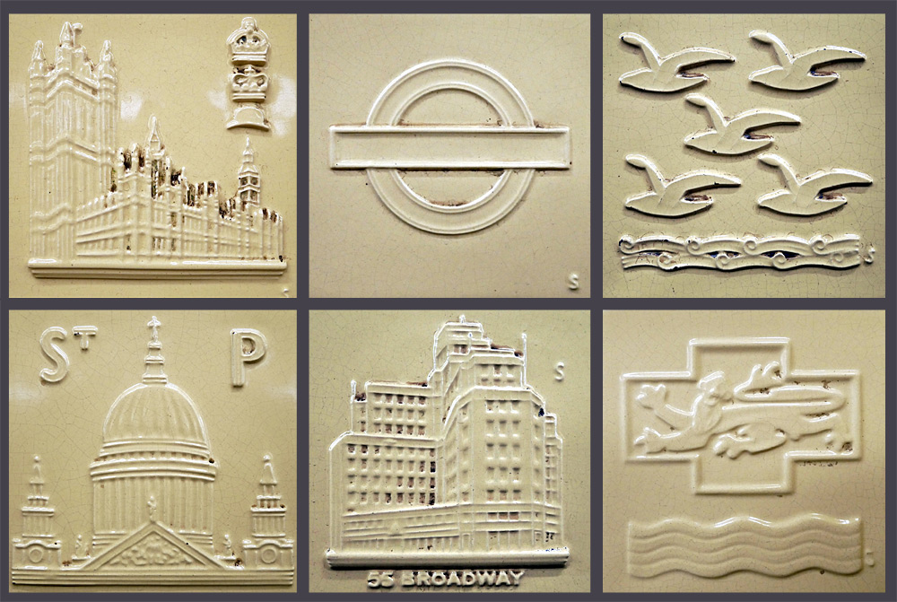 |
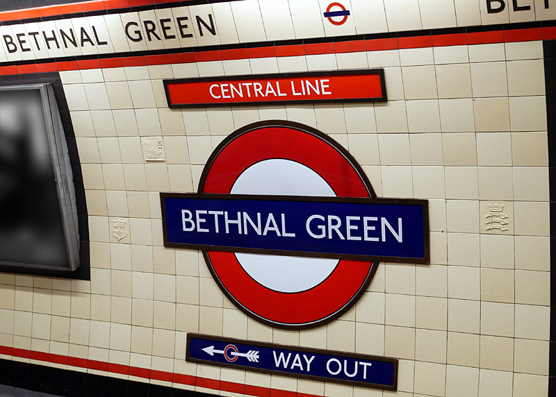
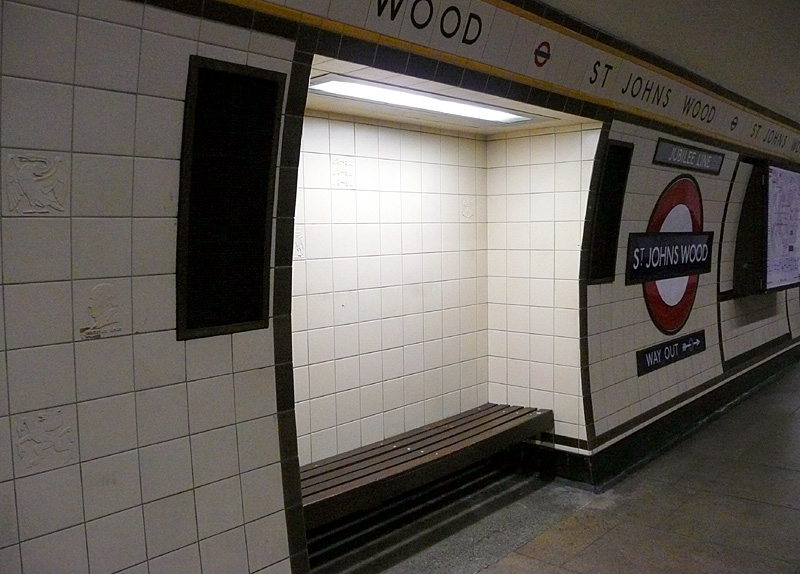
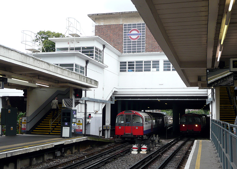
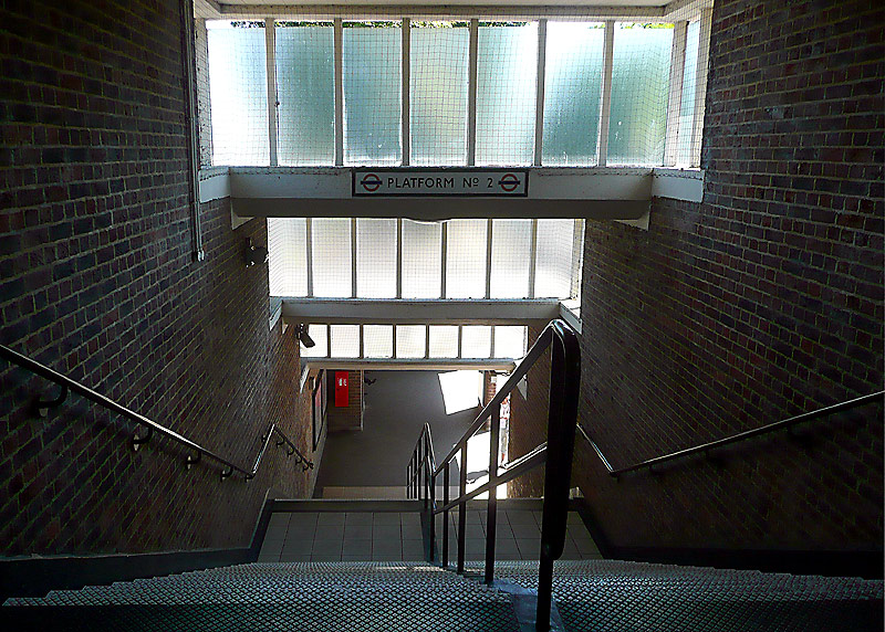
The examples seen here show two different types of walling, flat roofs and wrap-around glass screens to create a sense of lightness and openness.
These photographs were taken at Northfields (left) and Park Royal (right).
Uxbridge is a town on the north-western edge of London. At one time it had three^ railway stations but nowadays only the Charles Holden 'concrete cathedral' station built by London Transport in 1938 still survives.
^Two of them were GWR / British Rail stations and the third was Metropolitan Railway / London Transport.
Uniquely on the London Underground network Uxbridge station features some stained glass windows. These are easily seen by arriving passengers when walking towards the main exit from the station (ie: not the exit for the bus station). They were created by the Hungarian artist Ervin Bossányi, who emigrated to the UK in 1934.
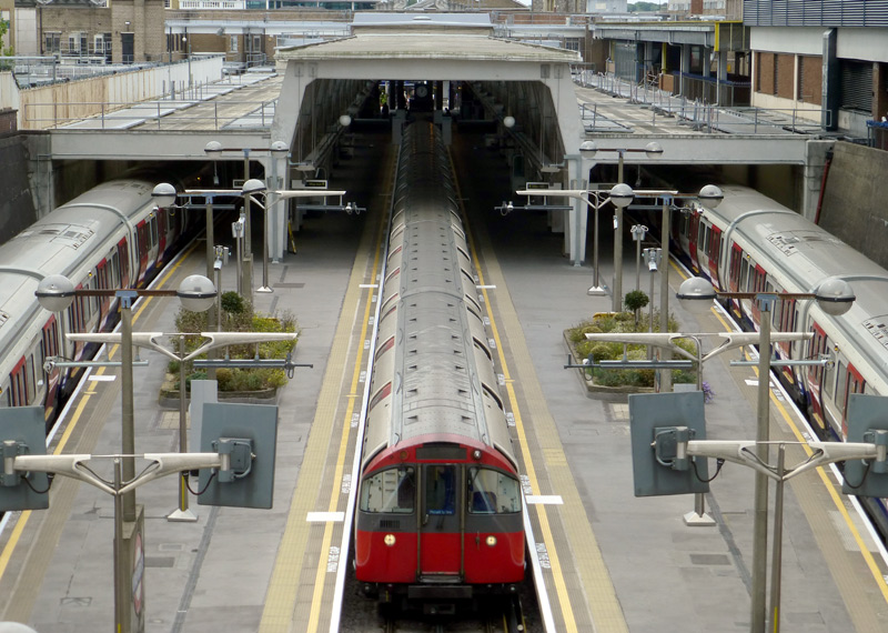
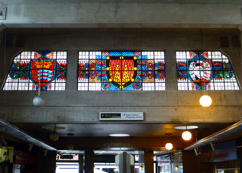
at the concrete cathedral Uxbridge station.
See below
The Stained Glass Windows:
Left: The coat of arms of Middlesex County Council, which ceased to exist after London's local governments were changed in the mid 1960's. This comprises a Saxon crown and three seax. A Viking seax was a large fighting knife whilst a Saxon seax was a small / short curved knife (or dagger) used by the early Middle Ages settlers of Germanic origin. In olde Englishe a seax was a knife and the settlers who used them became known as Seaxan - which morphed in to Saxon.
Middle: The coat of arms of the Basset family, esteemed local landowners who in circa 1180 granted the people of Uxbridge permission to hold a market every Thursday.
Right: The flag and coat of arms of the historic county of Buckinghamshire include a white swan. This dates back to Anglo-Saxon times when this county was
known for breeding swans for the king.Other Routes - Not Part Of The UndergrounD
Just a few stations from London's extensive National Rail / main line railway network. More stations of interest are seen on the relevant pages, eg: London Overground, Docklands Light Railway and more.
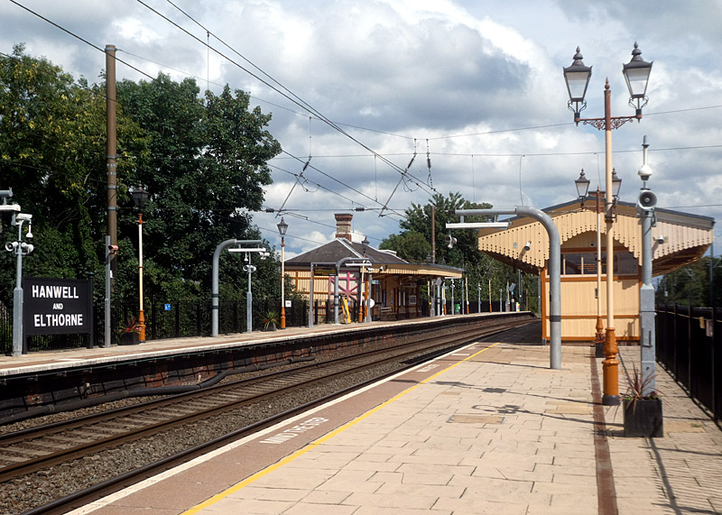 |
|
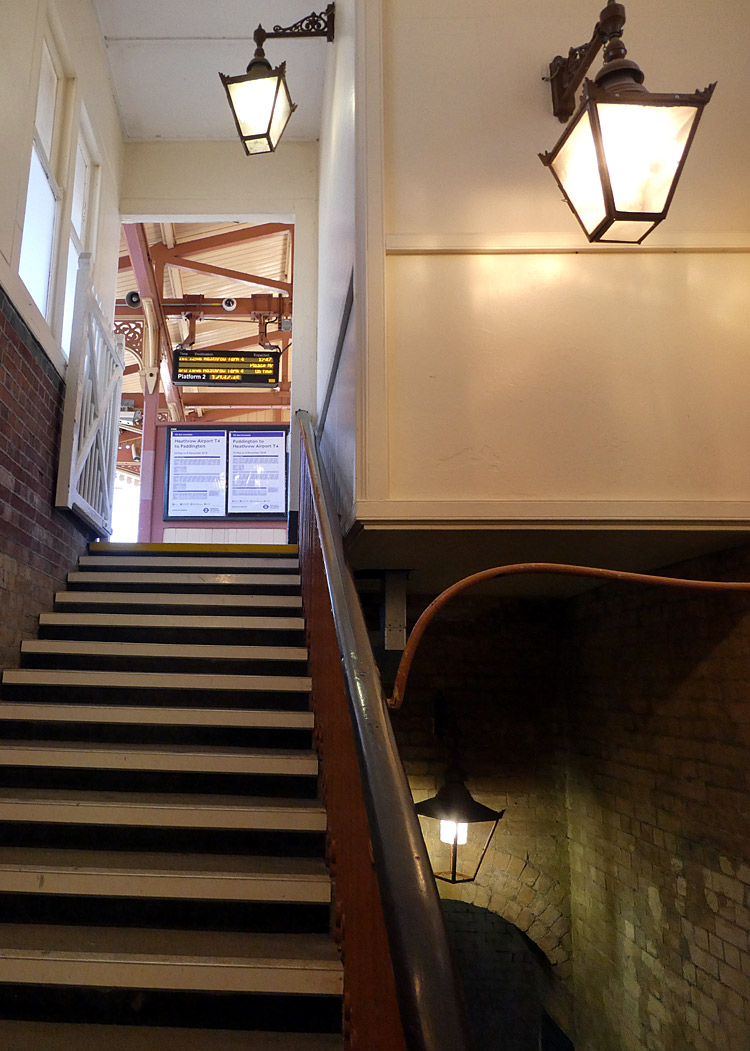 |
|
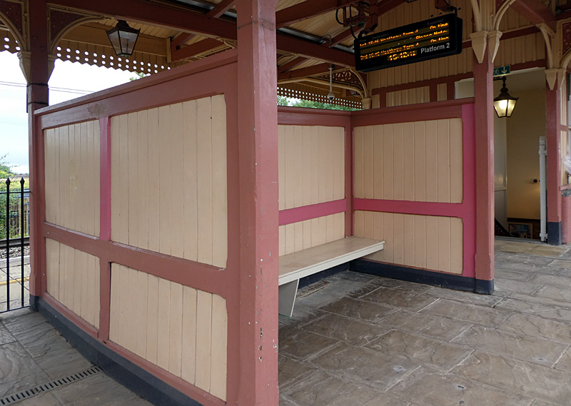 |
The station is seen as important because it represents the least altered example of the stations along this route after they were all rebuilt in the late 1870s.
Located to the west of London, Hanwell station is served by some (not all!) Elizabeth Line (Crossrail Line 1) trains from Paddington and central London.
Read more:
https://historicengland.org.uk/listing/the-list/list-entry/1358787
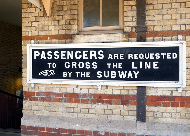
Historic sign with finger pointer (not an arrow) telling passengers to use the steps and pedestrian subway if they wish to cross the tracks.
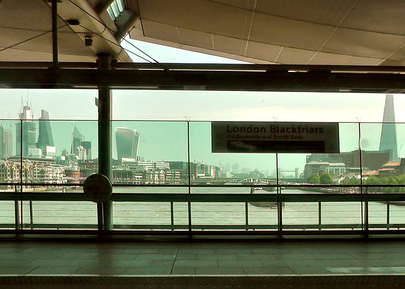
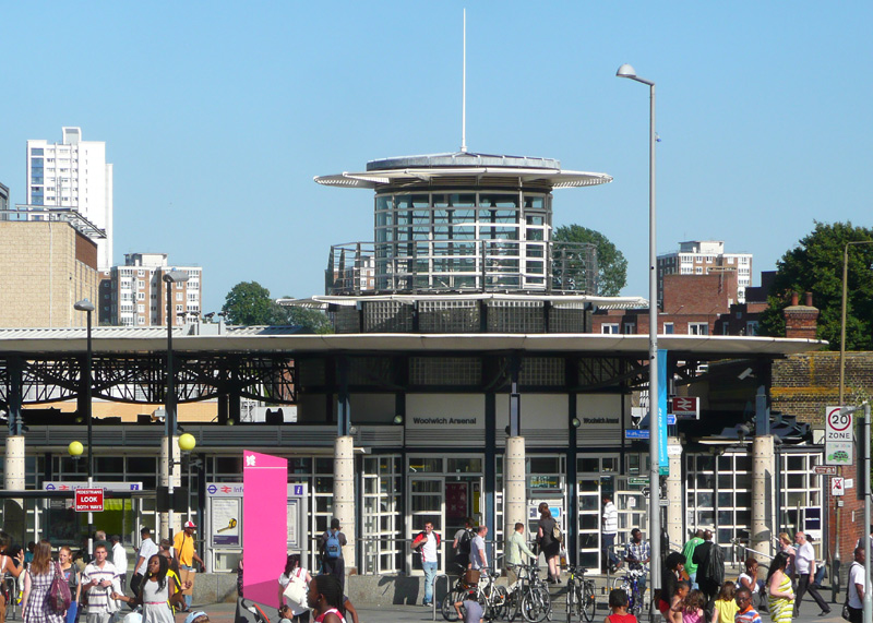
This station is also served by the Docklands Light Railway, although its two station entrances are more traditional in format.
 |
|
 |
|
 |
There are four platforms and two station entrances (one on each side of the tracks).
The entrance for Brent Cross Town has an ambiance more reminiscent of a courtyard garden than a railway station.
It includes a mezzanine level (intermediate floor) which offers fine views of the entrance building.
A feature that is very rare in London is the tactile wayfinding information on the stairway handrails.
Although not seen here this information is also in Braille.
Shared Service Routes
London has many railway routes where services are shared between two or more different train operators / underground lines.
This takes two forms - either track sharing, which is where the different trains use the same tracks or route sharing, which is where the different services travel together side-by-side, but stay on their own tracks.
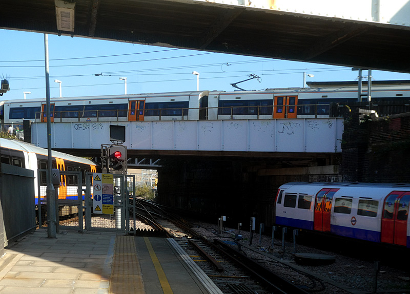
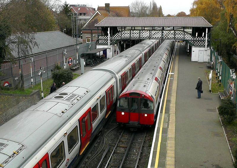
Above them is another Overground train on either the North London line Stratford - Richmond or West London line Clapham Junction - Willesden Junction - Stratford service. (both Mildmay line)
This photograph was taken on the terminus / bay platform, below one of the (several) interchange passageways.
These trains share tracks between Rayners Lane and Uxbridge stations. This route is entirely within zone 6. Ruislip is a Grade ll listed Victorian-era heritage station. Beyond the lattice iron footbridge there are traditional railway style platform canopies.
Track Sharing
- Hammersmith (Met) - Near Aldgate [Circle / Hammersmith & City lines].
- Just east of Baker Street - Near Aldgate [[Hammersmith & City / Metropolitan lines]
- Just east of Baker Street - Aldgate [[Circle / Metropolitan lines]
- Gloucester Road - Tower Hill [Circle / District (main section) lines].
- Paddington (Met) - High Street Kensington [Circle / District (Edgware Road - Wimbledon) lines].
- §Aldgate East - Barking [District / Hammersmith & City lines].
- ‡Harrow-On-The-Hill - Moor Park - Amersham [Chiltern Railways / Metropolitan line].
- *(Barons Court) - Acton Town - Ealing Common [District / Piccadilly lines].
- Rayners Lane - Uxbridge [Metropolitan / Piccadilly line].
- Queens Park - Harrow & Wealdstone [Bakerloo / Euston-Watford (Lioness) lines London Overground].
- Richmond - Gunnersbury [District / North London (Mildmay) lines London Overground].
Especially in the rush hours some Metropolitan line trains travel on the fast tracks and skip Preston Road, Northwick Park and (southbound only - Wembley Park) stations, so journey times will be slightly faster. Nowadays all Metropolitan line trains call at all stations between Harrow-On-The-Hill and Uxbridge.
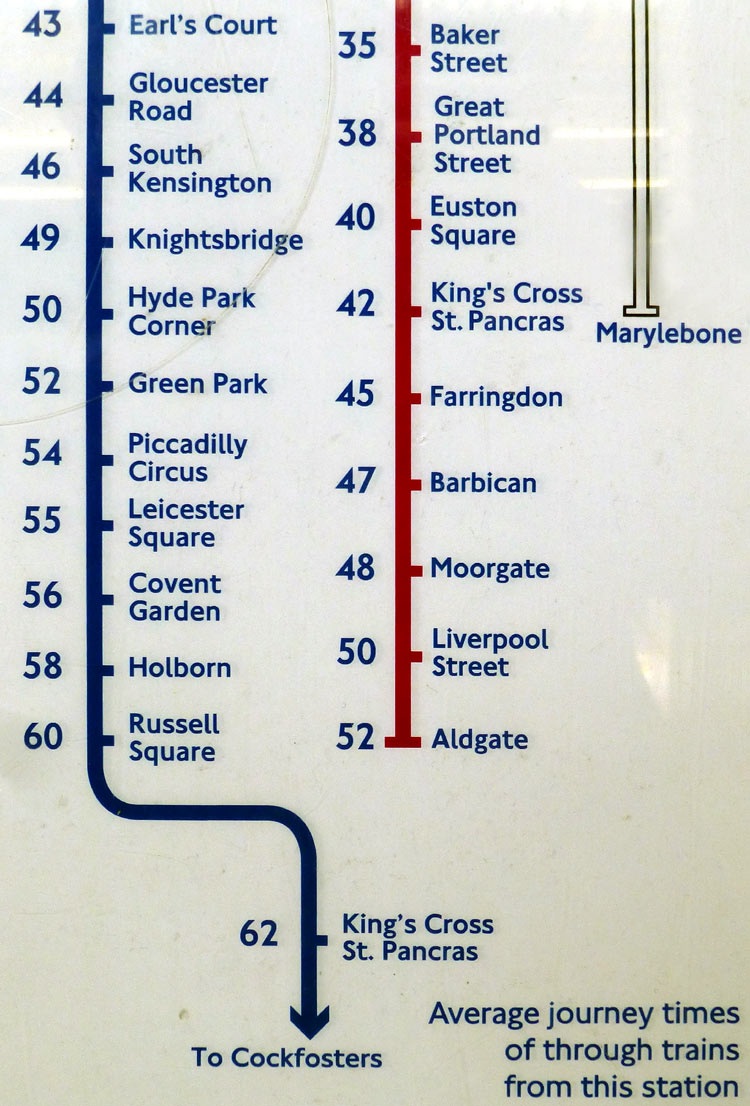
Route Sharing
- Stratford - Canning Town [Jubilee line / Docklands Light Railway].
- Fenchurch Street / Tower Gateway - Limehouse [C2C / Docklands Light Railway].
- §Bromley-By-Bow - Barking - Upminster [C2C / District / Hammersmith & City lines (not Upminster§)].
- Baker Street - Finchley Road - Wembley Park [Metropolitan / Jubilee lines].
- ‡Marylebone / Baker Street - Harrow-On-The-Hill - Moor Park [Chiltern Railways / Metropolitan line].
- Finchley Road - Wembley Park [Chiltern Railways / Jubilee / Metropolitan lines].
- Highbury & Islington - Canonbury [North London / East London lines - London Overground]
- West Ruislip - South Ruislip [Central line / Chiltern Railways].
- *South Kensington - Earls Court - Acton Town [District / Piccadilly lines].
*Piccadilly and District line trains are no longer able to use each other's tracks on the 4 track section between Barons Court
and Acton Town. This is because the District line (east of Stamford Brook) is being converted to computerised train control signalling.
Even when the trains could use each other's tracks they rarely did so, because some of the stations only have platforms alongside the District line's tracks.
Whilst both lines also follow the same route between Barons Court and South Kensington, they are grade separated
with Piccadilly line trains being deep underground and District line trains being at subsurface level.
§Hammersmith & City line trains do not normally travel between Barking and Upminster.
‡South of Harrow-On-The-Hill all Metropolitan line trains 'route share' with Chiltern Railways trains.
Between Harrow-On-The-Hill and Moor Park
all Metropolitan line trains to Watford plus the semi-fast and 'all stations' trains to Amersham and Chesham 'route share' with Chiltern Railways trains
whilst the 'fast' Amersham and Chesham trains track share with Chiltern trains.
North of Moor Park there are only two tracks and all Metropolitan line
trains track share with the Chiltern Railways trains.
Untill railway closures in the 1960's some of the British Railways trains travelled to Manchester via Leicester, Nottingham and Sheffield.
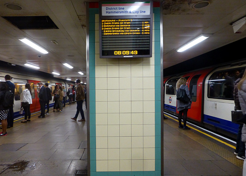
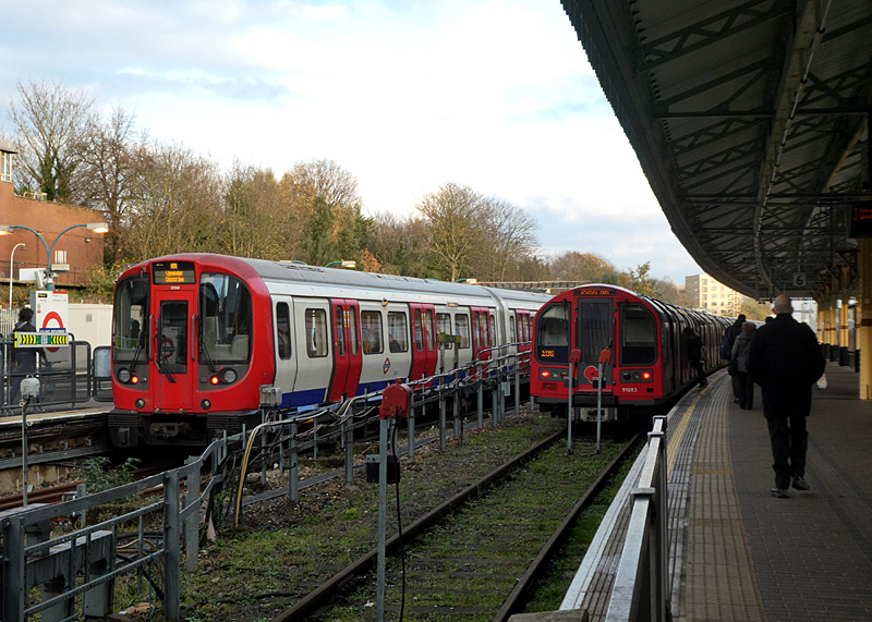
But you must take care to choose the correct train, as at Mile End only some trains actually go to Ealing Broadway.
From Ealing Broadway most of these trains do usually pass through Mile End. Also, the travel times (durations) are different - in this example the Central line will usually offer a quicker journey but especially in hot weather the air-conditioned District line trains will offer a more comfortable journey.
As an aside, there are similar cross-platform options at Stratford, this time between the Central and Elizabeth lines, with the quickest way to Ealing Broadway being on the air-conditioned Elizabeth line trains.
A to B via C or D! - By Train
Sometimes it is possible to make the same journey - starting and ending at stations with the same name and without changing trains - yet travelling via different routes with different intermediate stations and different journey times. Note that sometimes services on one of the route 'pairs' detailed below are infrequent or only possible on weekdays (ie: NOT Saturdays, Sundays or Bank Holidays).
On the Northern line 'CX Branch' refers to trains via Charing Cross.- Victoria - Kings Cross St Pancras [Circle (via Aldgate only as other direction usually requires a change of train) / Victoria lines].
- Kings Cross St Pancras - Euston [Northern (Bank branch) / Victoria lines].
- Warren Street - Euston [Northern (CX branch) / Victoria lines].
- Stockwell - Warren Street / Euston / Kings Cross [Victoria / Northern lines (CX or Bank branches as appropriate)].
- Farringdon - Kings Cross St Pancras [Metropolitan / Hammersmith & City / Circle lines (direct trains only) / Thameslink].
- Kentish Town - Farringdon - Kings Cross St Pancras - Elephant & Castle [Northern line (High Barnet + Bank branches) / Thameslink].
- Kentish Town - Farringdon - Kings Cross St Pancras - London Bridge [Northern line (High Barnet + Bank branches) / Thameslink].
- Mile End - Ealing Broadway [District / Central lines].
- Finsbury Park - Kings Cross St Pancras [Piccadilly / Victoria lines / Great Northern].
- Finsbury Park - Highbury & Islington [Victoria line / Great Northern].
- Finsbury Park - Kings Cross St Pancras - Green Park [Piccadilly / Victoria lines].
- Old Street - Moorgate [Northern line (Bank Branch) / Great Northern].
- Baker Street - Paddington [Bakerloo / Hammersmith & City / Circle lines (only platforms shared with Hammersmith & City line)].
- Baker Street - Waterloo [Bakerloo / Jubilee lines].
- London Bridge - Waterloo [Jubilee line / SouthEastern].
- Charing Cross - Embankment - Waterloo [Bakerloo / Northern lines (CX branch)].
- Liverpool Street - Stratford [Elizabeth / Greater Anglia / Central lines].
- Stratford - Shepherds Bush [Central / North + West London (Mildmay) lines London Overground (through trains take so long that despite the cheaper fare from avoiding Zone 1 this option is best avoided with Oyster PAYG)].
- Stratford - Bond Street [Central / Jubilee / Elizabeth lines].
- Birkbeck - Beckenham Junction [London Tramlink / Southern (infrequent)].
- Canary Wharf - Bond Street [Elizabeth / Jubilee lines].
- Abbey Wood - Farringdon [Elizabeth line / Thameslink].
- Liverpool Street - Tottenham Court Road - Bond Street [Elizabeth / Central lines].
- Whitechapel - Ealing Broadway [Elizabeth line / District line]
- Liverpool Street - Paddington [Elizabeth / Hammersmith & City / Circle lines]
- Liverpool Street - Farringdon (or Barbican* - westbound only) [Elizabeth / Hammersmith & City / Circle / Metropolitan lines]
*Note: There is a direct walking link between the westbound platform at Barbican and the Elizabeth line platforms at Farringdon station.
Because of the longer walking time between the street entrance and the Elizabeth line platforms, Liverpool Street - Barbican / Farringdon will usually be quicker on the older route using the Hammersmith & City / Circle / Metropolitan lines.
A to B via C or D! - With Walking Options
Whilst it is perfectly possible to stay at street level and walk (for free) on the public footpath between several stations (eg: Northen line Tottenham Court Road - Goodge Street - Warren Street) there are also a few station pairs where it is also possible to walk between the two stations whilst staying completely inside the fares paid area - which means that you will also be paying a train fare!
- Bank - Monument: There is no direct train service between this pair of stations. But there are several different walking routes which might include moving walkways and / or escalators.
- Moorgate - Liverpool Street: This journey can be made by train - Hammersmith & City / Circle / Metropolitan lines - or by using several sets of escalators and walking through the tunnel between the Elizabeth line platforms. There is also a direct interchange passageway between the Elizabeth line platforms and the Northern line platforms at Moorgate. This is the ^best^ walking route as it includes walking through some large caverns with high ceilings.
- Farringdon - Barbican (westbound platform): This journey can be made by train - Hammersmith & City / Circle / Metropolitan lines - or by walking through Elizabeth line interchange passageways which link the westbound platform (only) at Barbican station with Farringdon station.
Additional Shared Service Route Information
This section looks at some of the shared service routes in greater detail.
The routes are:
- District and Hammersmith & City lines in east London.
- Fenchurch Street - Upminster (DLR / Underground + C2C) in east London.
- Stratford - Canning Town (Jubilee line / Docklands Light Railway) in east London.
- Metropolitan / Chiltern / Jubilee in North London.
- London Overground (Lioness) and Bakerloo lines in north-west London.
- Piccadilly and District lines in west London.
- District line and North London (Mildmay) lines [London Overground] in south-west London.
Note that this section does NOT look at the shared service routes which include the Circle line. Instead these are seen on the Hammersmith & City, District and Circle line sections.

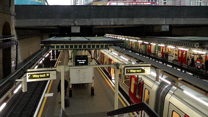
Aldgate is one of only three stations where Circle line trains have their own dedicated tracks and platforms - here they use the outer pair of tracks and Metropolitan line trains use the inner pair of tracks.
District and Hammersmith & City lines
In east London the route from Aldgate East to Barking is used by both District line trains to Upminster and Hammersmith & City line trains to Barking.
The two routes merge / diverge just to the east of Aldgate East station but whilst the junction can be seen from the station platform it is in tunnel and not easy to photograph.
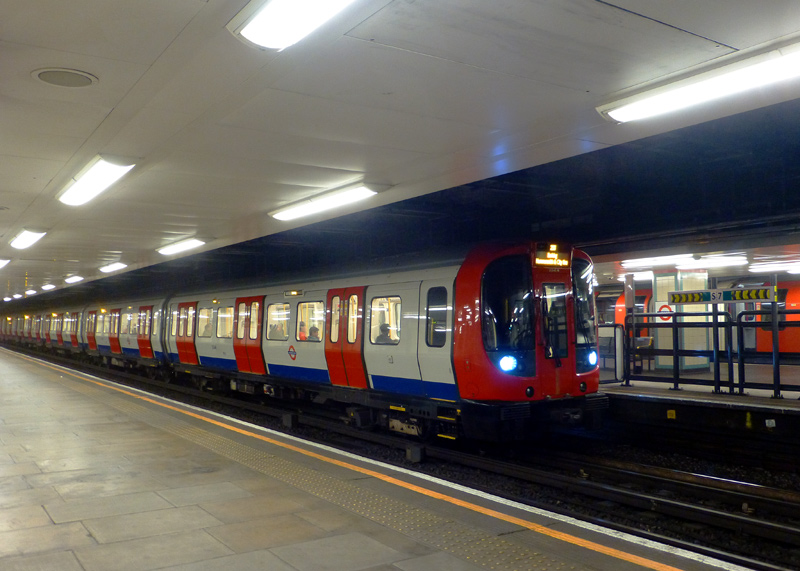
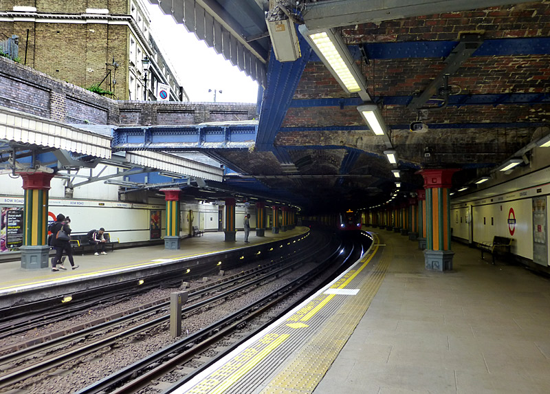
partly underground and partly in open air (in a shallow cutting).
Between Bow Road and Bromley-By-Bow stations the UndergrounD trains join the main line railway from Fenchurch Street station, as seen in the next section.
Fenchurch Street - Upminster
In East London the route from Fenchurch Street to Upminster mostly comprises of four (4) tracks with C2C trains using one pair and Underground or DLR trains using the other pair.
Between Fenchurch Street / Tower Gateway and Limehouse the C2C trains travel alongside the DLR. They operate in this formation...
North
C2C   >>>
C2C   <<<
DLR   >>>
DLR   <<<
South
Between Bromley-By-Bow and Upminster the C2C trains travel alongside Underground trains, mostly operating in this formation.
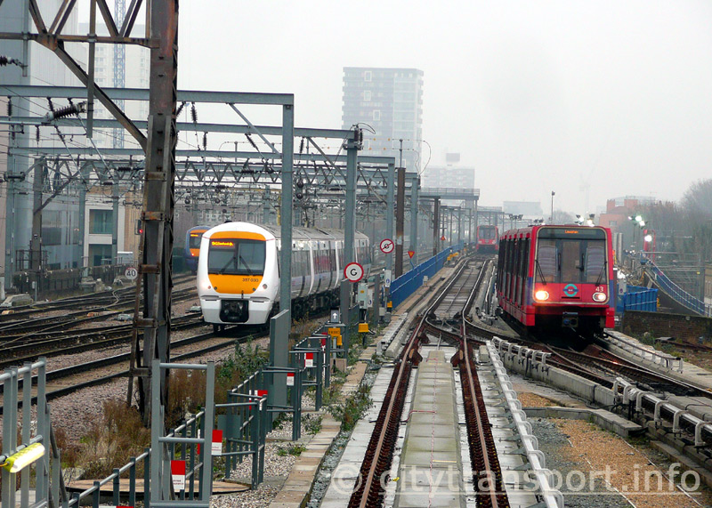
In this cold misty winter morning view looking east from Tower Gateway station we see four trains - two each DLR and C2C.
North
UND   >>>
UND   <<<
C2C    >>>
C2C    <<<
South
This section of four track route-shared railway merges / splits partway between Bromley-By-Bow and Bow Road stations, with Bow Road station being partially in open air / in a shallow cutting.
Between East Ham and Barking the route passes a C2C depot. Underground and eastbound C2C trains pass to the north of the depot whilst westbound C2C trains pass to the south of the depot.
Between Barking and Upney the route passes some District Line sidings. C2C and westbound District Line trains pass to the south of the sidings whilst eastbound District Line trains pass to the north of the sidings.
Looking east at Plaistow:
Left: an S Stock train is at the bay platform.
Ahead: an eastbound S Stock train departs.
Right: a westbound C2C class 357 Electrostar glides through,
these trains no longer stop here and nowadays only sections
of platform used by Underground trains remain open.
Until the line into Fenchurch Street was electrified the steam (and diesel) trains sometimes travelled on the same tracks as the Underground trains. Nowadays all trains keep to their own tracks and trains from Fenchurch Street miss out all intermediate stations - except West Ham, Barking and Upminster.
Therefore many (but not all) stations on this route have four platforms, but with two of them not being used anymore. Because the Underground trains are shorter than the main line trains so many station platforms which they serve on this route have also been shortened.
Barking Station
Barking is a large station with a reputation for railway staff who do not welcome railfans and who often go out of their way to stop them taking photographs. But it is still possible - just watch who is around you!
Usually Eastbound District Line trains travelling towards Dagenham East or Upminster open their doors on both sides (platforms 1a and 2) for cross platform interchange with trains to Shoeburyness or Southend-on-Sea via Upminster on one side (platform 4) and London Overground trains for Gospel Oak on the other side (platform 1).
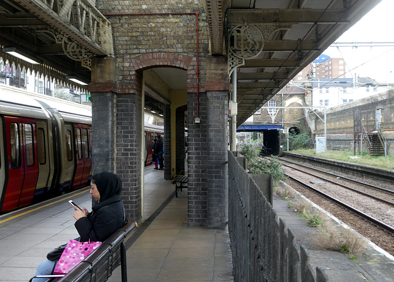
Looking east at Upton Park:
A westbound S Stock train calls at one side of an island platform,
the other side is the former eastbound C2C platform.
On the far right is the disused former westbound C2C platform towards Fenchurch Street station - even the steps
between the ticket hall and the platform have been removed.
The LTSR logo in the platform canopy ironwork is because
this section of railway was built
by the London Tilbury and Southend Railway.
Hammersmith & City and District line trains which end their journey at this station only open their doors alongside platform 2 (which is shared with C2C / platform 4) or use the dedicated bay platform 3, which is also shared with C2C platform 4.
Most westbound Underground trains use platform 6, which has cross-platform interchange with westbound C2C trains from Upminster going towards London Fenchurch Street (platform 5). The exception is the trains which use bay platform 3.
Platform 7 is used by eastbound C2C trains going to Dagenham Dock, Tilbury etc., whilst platform 8 is used by westbound trains from these destinations going to Fenchurch Street. Sometimes London Overground trains also use these platforms - instead of platform 1.
This page in the National Rail website includes much information about Barking station and a map showing the platforms:
http://www.nationalrail.co.uk/stations/BKG/details.html
Between 1910 and WW2 in 1939 the through Southend Corridor Express trains from Ealing Broadway to the seaside resort of Southend-On-Sea would change between steam and electric locomotives at either Barking or East Ham stations.
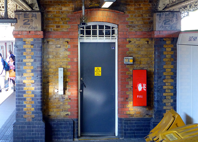
At one time the island platform at East Ham station
had a tea room and seen here on the platform building
are painted signs advertising this. The pre-decimal
price of 2d is about 1p in present-day money. The
disused platform is behind the white wall on the right
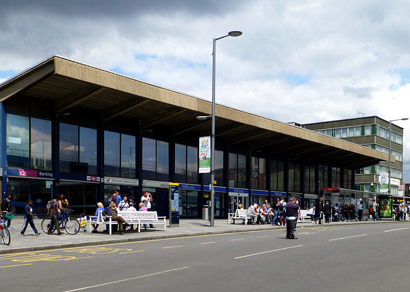
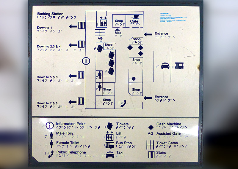
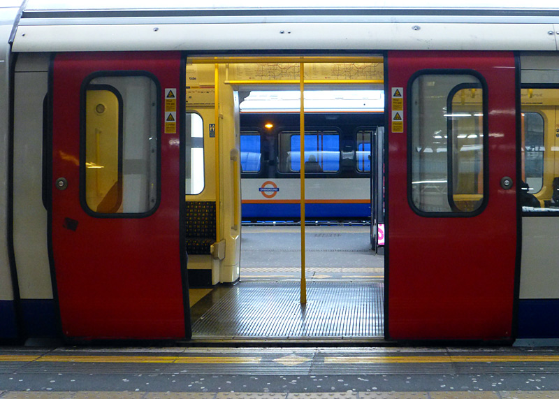
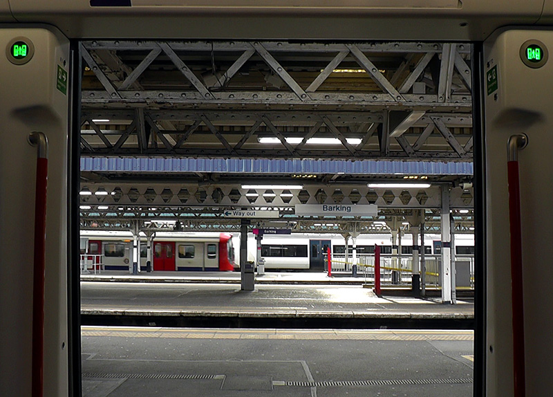
platform 2 with its doors open on both sides, behind it is a
London overground Class 710 train at platform 1.
Barking - Upminster
The stations with ramps between the street and platform date from the early 1930s and were built to a very similar architectural style. The stations which once had four platforms are older but were rebuilt in the 1930s to match the new stations.
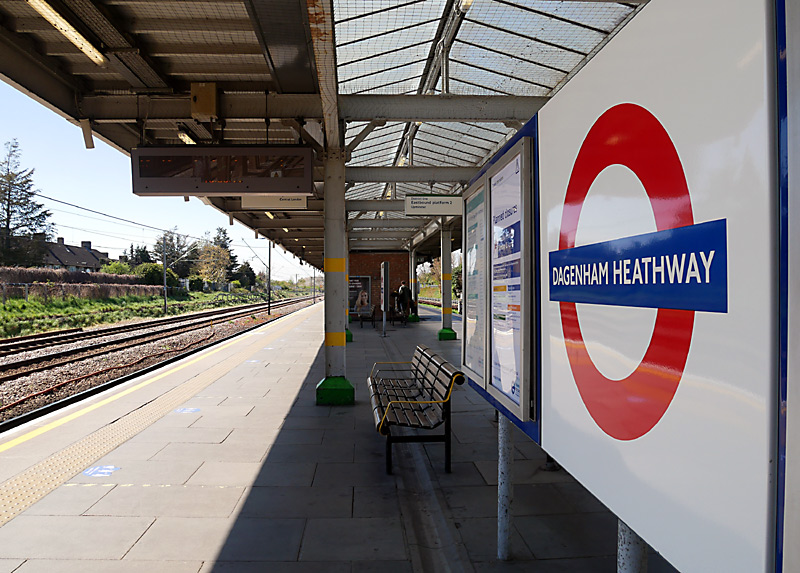
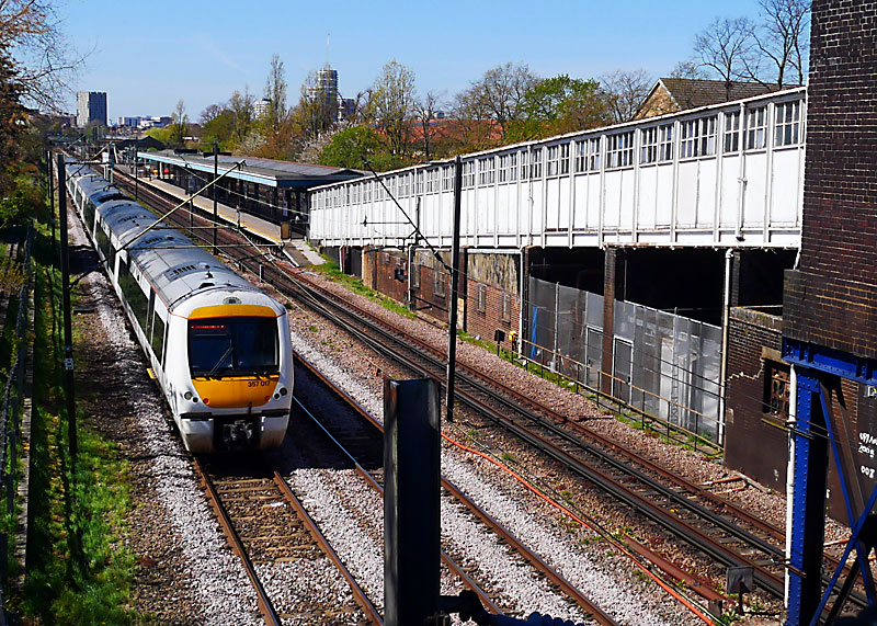
 Inside the waiting room at Upney station - with radiators to keep waiting passengers warm in the winter. |
 Door brickwork detail at Dagenham East station - this is typical of most stations Upney - Upminster Bridge. |
 Looking down the ramp at Upney. Although not planned, these ramps make these stations fully accessible between the street and the platform. |
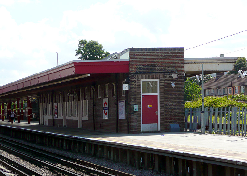

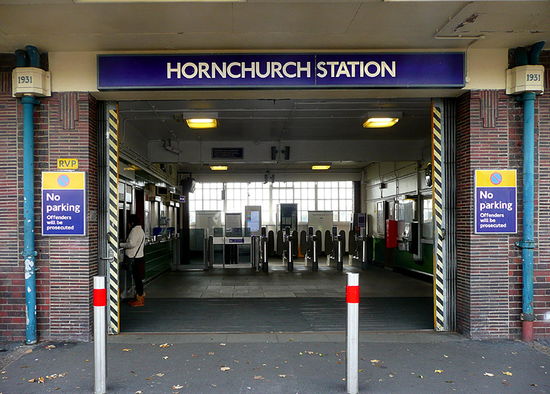
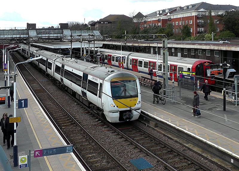
District line trains call at platforms 3, 4, & 5 and
London Overground Liberty line trains to Romford
call at platform 6 (not visible here).
Stratford - Canning Town [Jubilee Line / Docklands Light Railway]
This section of route sharing in east London is relatively new, as the DLR service along here only started in 2011. Prior to that the route was shared between North London Line and Jubilee Line trains, and even earlier than that this section of railway was a busy route used by passenger and freight trains serving London's Docklands.
Along the shared section of railway the Jubilee Line serves just three stations (Canning Town, West Ham, Stratford) whilst the DLR trains serve six stations. One of these is called Abbey Road, if you are a music fan and want to see the zebra crossing made famous by the Beatles pop group then you must go to St Johns Wood station on the Jubilee Line, and NOT this station.
An excellent photo location is the Stephenson Road bridge over the railway near to Star Lane DLR station. The link below leads to a Google map showing this location.
https://maps.google.co.uk/maps?hl=en&ll=51.521789,0.005053&spn=0.002911,0.006899&t=m&z=17
West
Jubilee       >>>
Jubilee       <<<
DLR            >>>
DLR            <<<
East
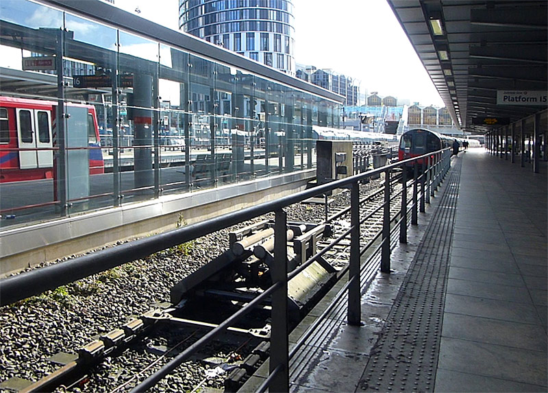
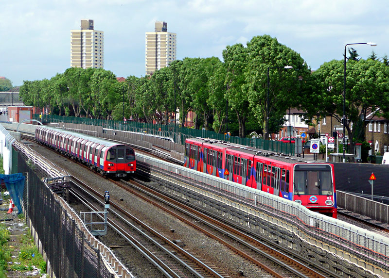
trains pass between West Ham and Star Lane stations.
Canning Town is a busy interchange station with six platforms for trains plus an adjacent bus station.
At this station DLR trains on east-west services to / from Bank or Tower Gateway stations call at platforms 3 & 4 which are above the Jubilee line trains (which call at platforms 5 & 6) whilst north-south DLR trains travelling to / from Stratford International station call at platforms 1 & 2 which are located at ground level between the westbound Jubilee line tracks and the bus station.
Choosing the correct platforms is easy for most destinations, except for DLR trains to Woolwich Arsenal via London City Airport as these depart from both platforms 1 and 3. DLR trains to Beckton mostly also depart from platform 3 but when the shortage of trains has been resolved they will also depart from platform 1 (if they came from Stratford International) or platform 2 (if they reversed their direction of travel here).
|
|
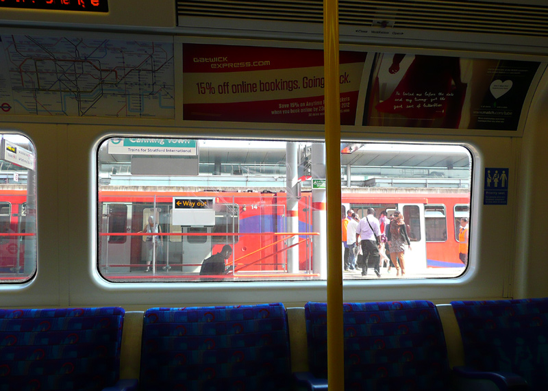 |
Centre: The view from platform 2: a Jubilee line train at platform 5 and a DLR train at platform 3
Right: The view from inside a Jubilee line train calling at platform 5: a DLR train calling at platform 1.
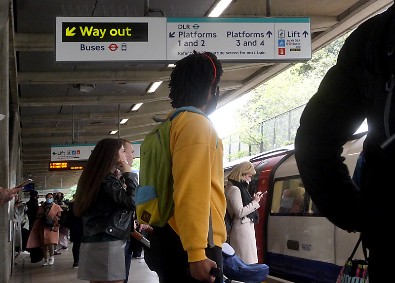 |
|
|
Centre: Some passengers find Canning Town station somewhat confusing; to help them there is this way-finding sign
Right: London City Airport (LCY) flight departure information on platforms 3 &4.
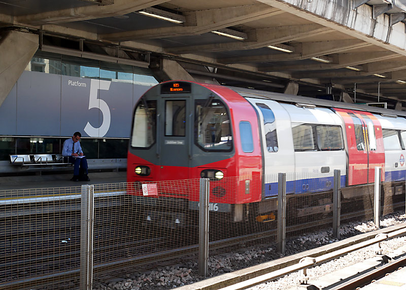
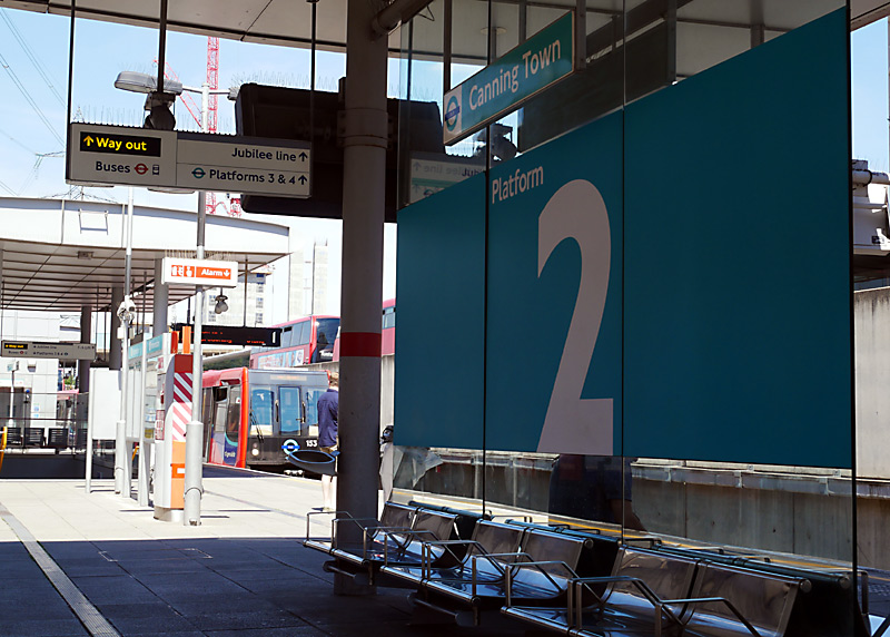
Note that the high level platforms at Canning Town station are very exposed - they are windswept and despite the platform canopy when it rains passengers need to stand well back from the platform edge to avoid becoming soaked. In the winter these platforms are also very, very cold!
London Overground Euston - Watford (Lioness line) and Bakerloo line
Located between Queens Park and Harrow & Wealdstone in north London this is part of route that is mostly located alongside the London - Glasgow West Coast Main Line (WCML). The entire route has six [6] tracks - or more!
Travelling on a Bakerloo Line train north of Queens Park is very much recommended. Immediately to the north of this station through trains travel inside the depot trainshed (IMPORTANT: you *must* be on a Bakerloo line train, and not an Overground train) then the tracks merge and the Underground and Overground trains provide a shared service.
Since the Bakerloo Line uses small profile ‘tube’ trains and the Overground uses ‘main line railway’ trains and the two types of train have very different internal floor heights relative to the tracks so there are also large height differences between the train floors and the station platforms - you must step up to board an Overground train, and down to board a Bakerloo line train.
At many stations you can also see many types of train passing by, including Avanti West Coast Pendolino tilting trains going to Manchester, Liverpool and Glasgow, ‘outer suburban’ London Northwestern Railway trains going to Northampton and Birmingham, Southern trains which travel to south London (Clapham Junction, Croydon) - and of course freight trains.
The location which I've used to see the passing trains that is closest to Central London is near to Kensal Green station. On leaving the station turn left. The view looking down is more 'reasonable' than 'perfect'.
Harlesden is not a nice part of London and the few times I’ve used that station for trainspotting I have stood at the end of the platform that is away from the exit to the street.
Close to Willesden Junction there are some sidings and depots where a constantly changing selection of main line rolling stock can often be seen. Also here is a London Overground depot.
There is a Bakerloo Line depot just to the north of Stonebridge Park station, part of it can be seen at the northern (Harrow) end of the northbound platform but it is better to travel on a train and look at it whilst passing by, as then you also pass some main line railway sidings and depots where all sorts of InterCity and other rolling stock can sometimes be seen.
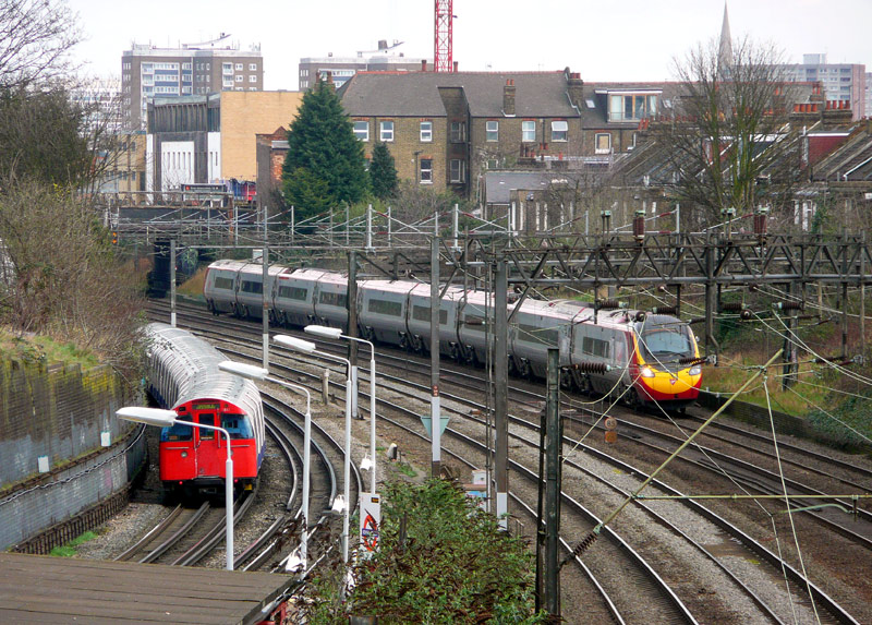
A telephoto view looking down upon Kensal Green station
with Bakerloo Line and Virgin Pendolino InterCity trains visible.
Sometimes I have been able to film Overground and Underground trains ‘side by side’ as they pass each other at Stonebridge Park and North Wembley stations. I can not guarantee that you will see this. At North Wembley I normally stand at the southern (London) end of the northbound platform, as it is away from the exit to the street and offers better views of the WCML tracks. If the trains pass in the station platform then photographers will find that the direction of the sun is not a problem.
A film which I took in 2010 and have placed on YouTube includes footage from North Wembley station showing an Underground and an Overground train passing each other.
Also seen is a 'race' between an Underground train and a container (freight) train, plus a passing Class 390 Virgin Pendolino tilting train.
This can be seen by clicking either the projector icon or this link:-
http://www.youtube.com/watch?v=-emj8ybZd38
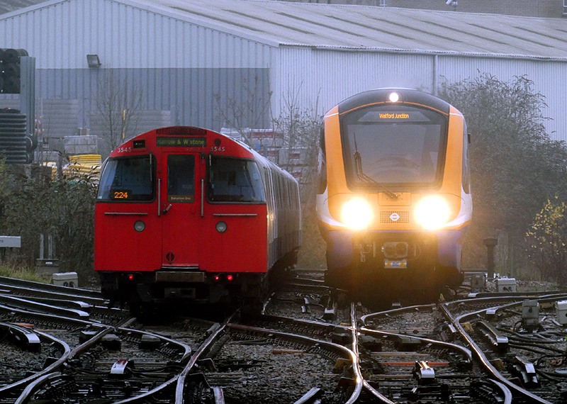

Many people like to watch trains at South Kenton station, as you are right next to the WCML. The best views are at the London (south) end of the platform, but in sunny weather this is also the direction of the sun. Therefore I normally go there before 11am (11:00) or after 2pm (14:00).
Metropolitan / Jubilee / Chiltern
Located between Finchley Road and Amersham stations this route through north London variously features either two, four or six tracks and therefore is looked at in several sections.
Finchley Road - Wembley Park
All Metropolitan and Jubilee Line trains stop at Finchley Road.
All Jubilee Line trains stop at Wembley Park.
Most Metropolitan Line trains also stop at Wembley Park, except some southbound trains in the morning rush hour.
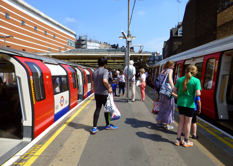
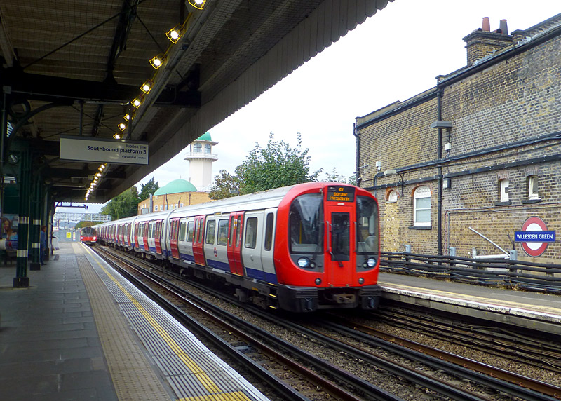
Between Finchley Road and Wembley Park Jubilee line trains call at all stations whilst Metropolitan line trains usually travel non-stop.
Neasden and Willesden Green stations
also have platforms for Metropolitan line trains, however nowadays they are only normally used when Jubilee line services are not working.
Chiltern trains have exclusive use of a dedicated pair of tracks which extend all the way from London Marylebone to Harrow-On-The-Hill and do not call at any intermediate stations.
West
Chiltern           >>>
Chiltern           <<<
Metropolitan   >>>
Jubilee            >>>
Jubilee            <<<
Metropolitan   <<<
East
I often stand at the southern end of West Hampstead station, as there is a frequent procession of Jubilee and Metropolitan line trains to see, plus Chiltern trains travelling to and from Marylebone. This includes the Chiltern trains which at Neasden diverge and head towards Birmingham via West Ruislip and High Wycombe.
Two excellent photo locations which are on road bridges over the railway are at Mapesbury Road and Lydford Road between Willesden Green and Kilburn stations. The link below leads to a Google map showing their locations.
https://maps.google.co.uk/maps?hl=en&ll=51.547403,-0.213118&spn=0.011636,0.027595&t=m&z=15
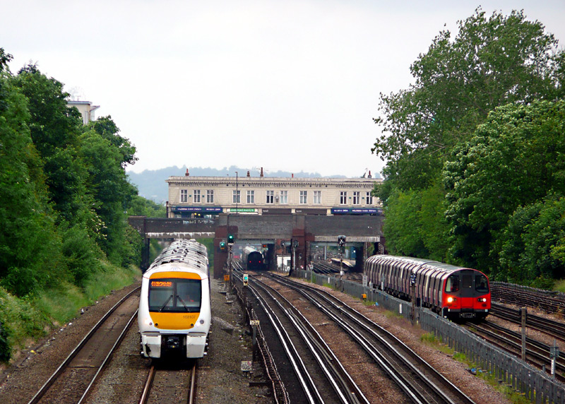
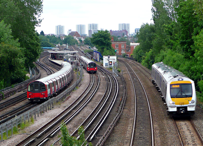
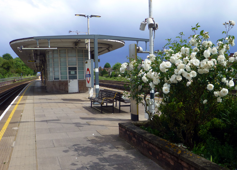
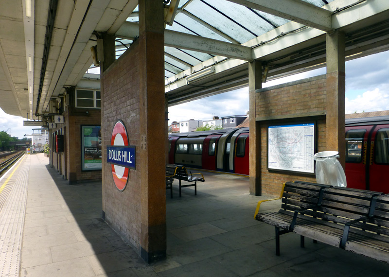
The platform buildings include a waiting room and toilets.
Several species of colourful flowers can be seen in the flower beds - the view on the left shows white roses in full bloom.
The platform offers excellent views of the varied types of diesel powered trains operated by Chiltern Railways, plus of course Metropolitan line trains.
However when trying to photograph the passing trains the very frequent Jubilee line trains sometimes 'get in the way'!
At Wembley Park the Jubilee line turns towards Stanmore and the Metropolitan line splits into four tracks.
Wembley Park - Harrow-On-The-Hill
Between Wembley Park and Harrow-On-The-Hill the Metropolitan line consists of four tracks (fast and slow / all stations) with the tracks used by Chiltern's trains located alongside. This track layout was designed in the days when trains from Marylebone went all the way to Manchester via Leicester, Nottingham, Sheffield and the Woodhead mountain pass.
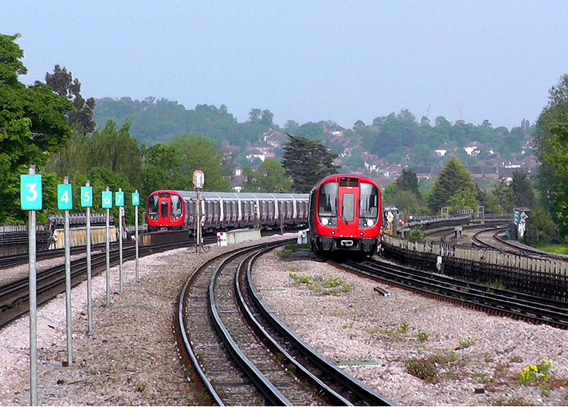
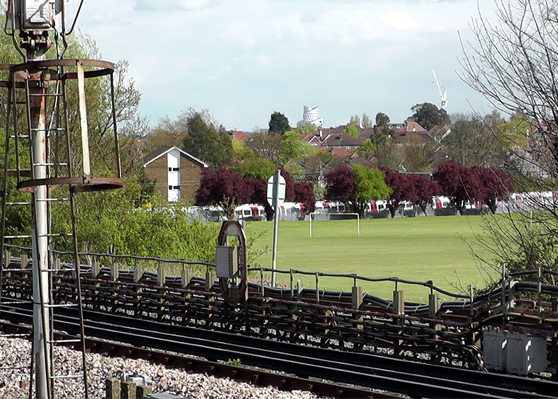
The local tracks for trains that call at this station are in the middle.
On he far right are the unelectrified tracks used by
diesel trains operated by Chiltern Railway.
the West Coast Main Line (WCML).
This image shows a 1972 Mk2ts train on the Bakerloo line,
below is a list of some of the other types of trains that
might also be seen here.
From the island platform at Northwick Park it is possible to see a very wide of trains using the West Coast Main Line
- Goods / freight / container / other non-passenger,
- Avanti West Coast,
- London Northwestern Railway (sometimes in West Midlands Railway livery),
- Southern,
- London Overground (Lioness line).
- London Underground (Bakerloo line).
Harrow-On-The-Hill has six platforms. Chiltern Railways trains to Aylesbury use platform 1 whilst trains to Marylebone use platform 2.
Fast Metropolitan line trains to Amersham and Chesham usually use either platforms 1 or 3 whilst slow (all stations) trains can only use platform 3.
Watford trains usually use platform 3 and Uxbridge trains usually use platform 4.
Platforms 5 & 6 are used by Metropolitan line trains going to Baker Street / Moorgate / Aldgate, typically platform 5 is for slow (all stations) trains and platform 6 for fast (ie: next station Wembley Park
[except morning rush hours] and Finchley Road) trains.
Worth noting is that although the tracks through platform 2 are electrified the power supply rails end just to the south of the station; therefore it is normally only used by the diesel Chiltern Railways services.
This page in the National Rail website includes much information about Harrow-On-The-Hill station and a map showing the platforms:
http://www.nationalrail.co.uk/stations/HOH/details.html
West
Chiltern                         >>>
Chiltern                         <<<
Met Fast + Semi-Fast  >>>
Metropolitan Slow       >>>
Metropolitan Slow       <<<
Met Fast + Semi-Fast  <<<
East

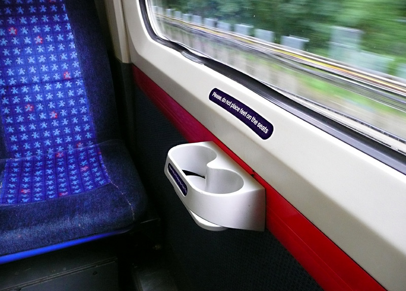
Harrow On The Hill station's platform No.2.
for part of its route on Metropolitan line tracks.
These trains also have toilets and depending on the type
of rolling stock they may have tables as well.
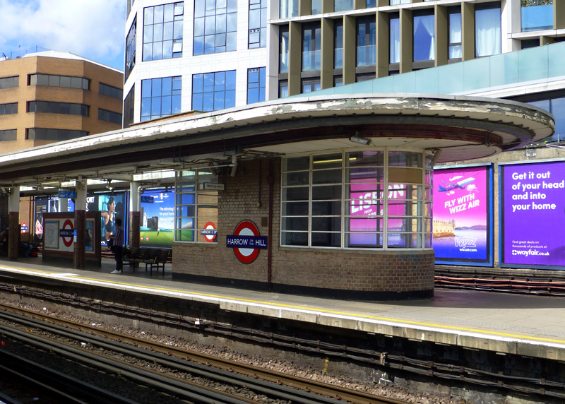
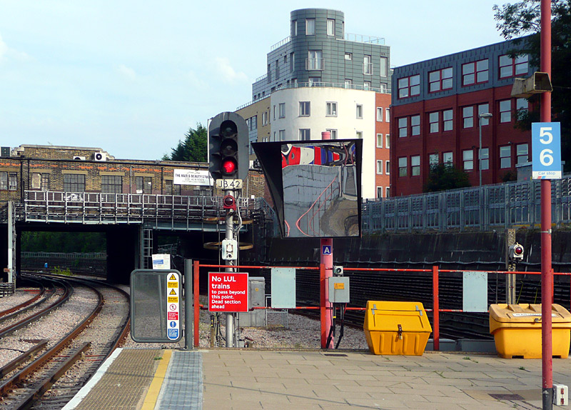
These platforms are used by Matropolitan line trains travelling
towards London Baker Street and sometimes also Aldgate stations.
train travels via this route and becomes stranded beyond the end
of the power supply rails.
Harrow-On-The-Hill - Moor Park - Amersham
Between Harrow-On-The-Hill and Moor Park there are four tracks - two are used by Chiltern Railways and fast / semi-fast Metropolitan line services and two are used by all stations Metropolitan line services. Trains travelling to Watford can only travel on the 'all stations' tracks.
North of Moor Park the fast tracks lead to Rickmansworth whilst the all stations / slow tracks split into two pair, one of which merges with the fast tracks and the other diverges towards Watford.
Between Rickmansworth and Amersham there are just two tracks which are used by both Metropolitan line and Chiltern Railways trains.
West
Met Fast + Chiltern   >>>
Met Fast + Chiltern   <<<
Met All Stations         >>>
Met All Stations         <<<
East
The direct route between Croxley and Rickmansworth is not normally used by trains carrying passengers.
Ticketing Advice
Note that going to Moor Park and further north requires a Travelcard which is valid in zones 7, 8, 9. These are very expensive!
One alternative solution would be to use PAYG and be careful to not spend too long inside the fares paid area. Some ticket machines also sell platform tickets, which cost £1. If buying a platform ticket remember to touch in/out with your Oyster or contactless card.
Passengers with BritRail / Eurail Passes or an All Line Rover can use these at Harrow-On-The-Hill and all stations Moor Park - Amersham. To avoid possible complications it is best to travel on Chiltern Railways trains from Marylebone station, and NOT Metropolitan Line trains.
Most of the photographs seen on this website were taken when I had one-day Travelcards for zones 2-9 which did not include zone 1, however these tickets are no longer sold - which is a shame, as the 1-9 version costs more than 3x the price of the former 2-9 one-day ticket.
These videos (filmed around 1992-4) on youtube will be of related interest...
Trains at Willesden Green - filmed in the 1990's shows Metropolitan Line, Jubilee Line and British Railways trains.
http://www.youtube.com/watch?v=SLZ9W_wqhwU
South of Wembley Park
http://youtube.com/watch?v=sFd_7gewfGE
Metroland Racing
http://youtube.com/watch?v=Qj5MNlCl2L4
Metropolitan / Piccadilly lines
Located entirely within zone 6, this section of track sharing is between Rayners Lane and Uxbridge stations and the route has just two tracks - except at Uxbridge station where there are three tracks.
Only some Piccadilly line trains travel all the way to Uxbridge - some finish their journeys at the art deco Rayners Line station.
Passengers who are using Rayners Lane station as a convenient interchange location between Metropolitan line stations West Harrow - Harrow-On-
The-Hill (etc.,) and Piccadilly line stations South Harrow - Sudbury Hill (etc.,)
and who are paying their fares in PAYG mode or with Travelcard season ticket that does NOT include Zone 1 should use the pink Oyster / Contactless 'Route Validator' card readers on the platforms as a way to ensure that they
are charged the correct fare for their journey.
District / Piccadilly Lines
Located in west London this route variously features either two or four tracks.
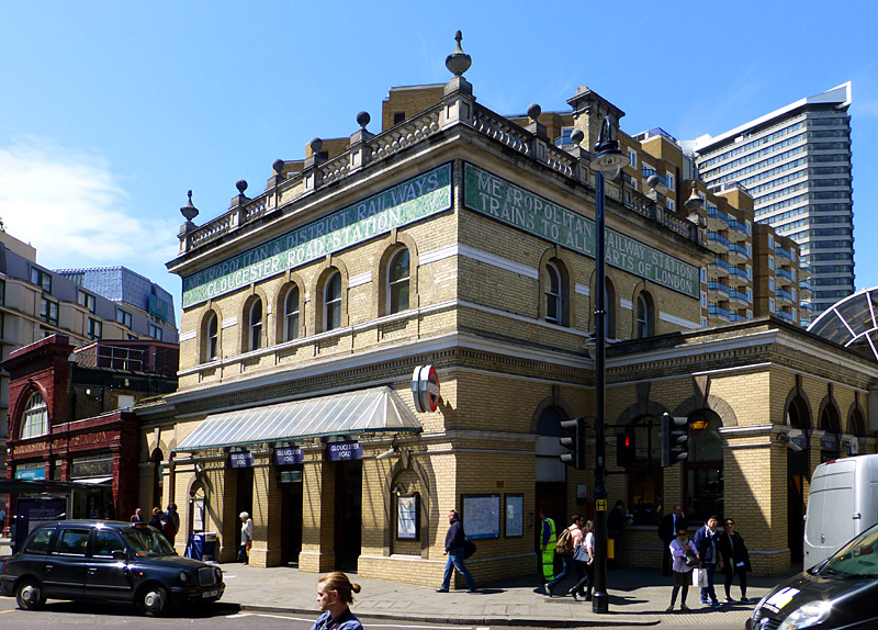
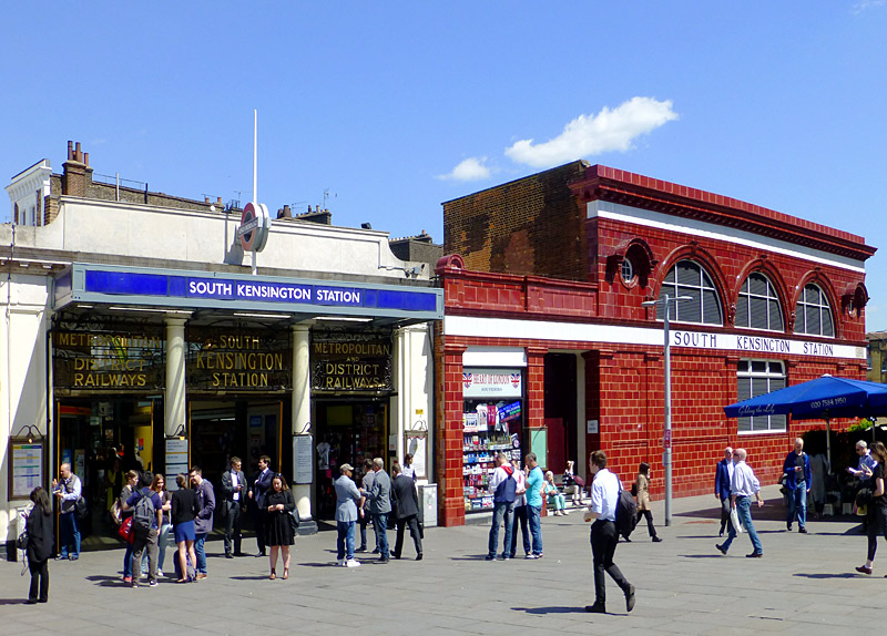
Between South Kensington and Barons Court the small profile Piccadilly Line tube trains are deep underground, whilst the large profile District Line subsurface trains are either on the surface or just below it.
On the four track section between Barons Court and Acton Town most Piccadilly Line trains travel between Hammersmith and Acton Town without stopping (usually using the middle tracks), whilst District Line trains call at all stations.
North
District      >>>
Piccadilly  >>>
Piccadilly  <<<
District      <<<
South
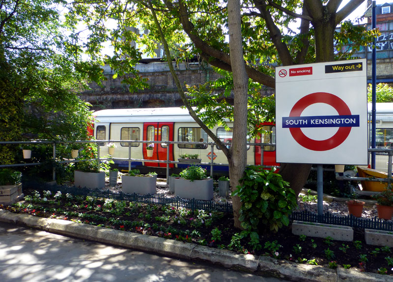
Part of a former Metropolitan Railway trackbed at
South Kensington station has become a small garden.
The District and Circle lines portions of South Kensington and Gloucester Road stations both opened in 1868, albeit a few months apart. This was in the steam train era. The parts of these stations which we nowadays know as the Piccadilly line opened in 1906.
In 1907 South Kensington station was rebuilt in its present-day format whereby the station entrance is via a small arcade of retail shops with decorative metal scrollwork at each end. In those days the station was served by both the Metropolitan and District Railways, hence their names on the metal scrollwork. A distinctive feature at this station is the subterranean footpath which links it with several of the visitor attractions in the area, including the Natural History, Victoria & Albert and Science museums.
Before the building of the Piccadilly line there was a plan by the District Railway to build an express tube line between South Kensington and Mansion House, with just one intermediate station at what nowadays is called Embankment. Whilst this never came to pass an extra deep level platform intended for westbound trains was built - and still exists today, albeit not where passengers can see it - plus with future junctions in mind part of the Piccadilly line tunnels were built to an enlarged diameter - this can be seen, if you know what to look for.

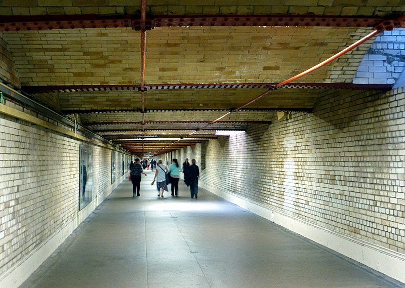
traffic-free footpath is located below Exhibition Road.
Using this footpath is free of charge.
There are two Underground stations at Hammersmith. The District and Piccadilly lines use the station which has been modernised and included as part of a shopping centre whilst the Hammersmith & City and Circle line trains use the former Metropolitan Railway station which is a short walk away and remains largely as built in 1868.
The shopping centre now surrounding Hammersmith station (District and Piccadilly) includes a very pleasant all-day pub with plenty of seating for tired railfans and a good choice of beers, with a nice atmosphere.
During the day Piccadilly line trains normally also pass through Turnham Green station without stopping, however a few Piccadilly line trains do call here very early in the morning and late in the evening.
The railway between Richmond and Addison Road station (nowadays known as Kensington Olympia) was built by the London & South West Railway (LSWR) and as part of expansion plans the District Railway was allowed to run its trains over this line as far as Richmond, which is a service that still exists today. Further extensions saw District Railway trains reach Acton Town and beyond. The agreement also included the LSWR having the right to run its trains over tracks owned by the District Railway to High Street Kensington, but they never actually got around to doing this.
For many years the LSWR route between Addison Road and Richmond was also used by trains operated by the Great Western Railway (GWR) and the Metropolitan Railway (MR). This resulted in the section between Hammersmith and Turnham Green becoming so heavily used that the LSWR built another pair of tracks to the north of the existing tracks. However, the District Railway service followed the most direct route and hence was the most successful. Eventually the GWR, MR and LSWR services were withdrawn with the newer pair of tracks becoming disused.
In the late 1920s advantage was taken of a government guaranteed loan scheme (designed to reduce unemployment) to raise finance to convert the entire 4½ mile section of railway between Hammersmith and Northfields to four tracks, and to extend what nowadays we call Piccadilly line trains to Hounslow and South Harrow. It was also decided to rearrange the tracks to the format we know today and that the Piccadilly like trains would run non-stop between Hammersmith & Acton Town stations. This required a new eastbound platform for District line trains at Stamford Brook station and complete rebuilding of Chiswick Park station with new platforms for District line trains. As a result of these works there are island platforms at Ravenscourt Court Park and Stamford Brook stations which are only used on one side.
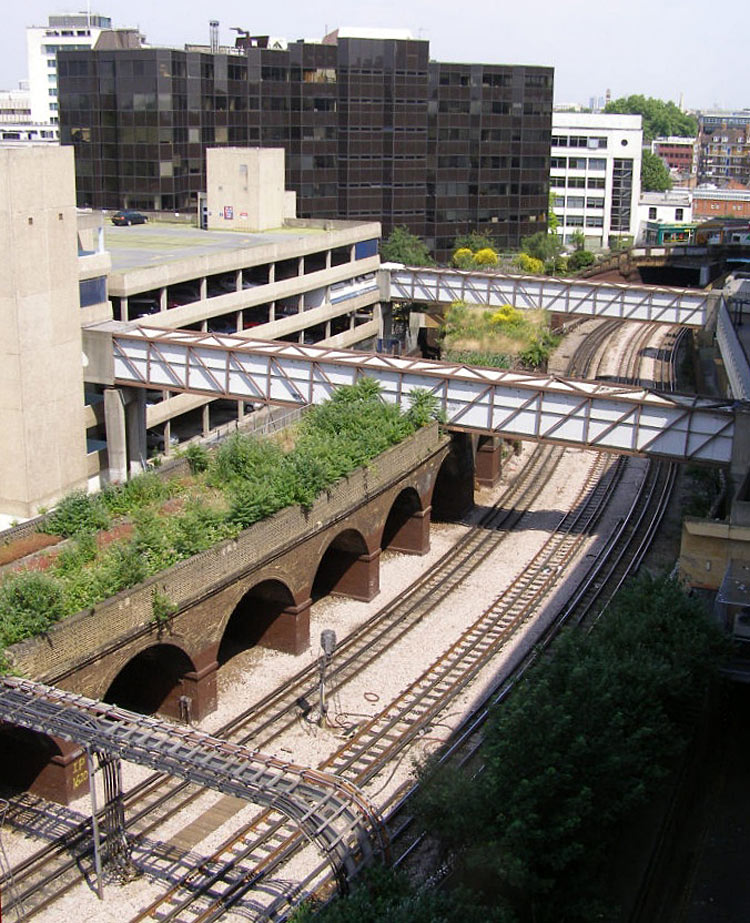
The remains of the LSWR viaduct in Hammersmith.
Image & license: Chillysnow / Wikipedia encyclopædia. CC BY-SA 3.0 https://commons.wikimedia.org/wiki/
File:Ravenscourt_Park_tube_station_approach_to_Hammersmith.jpg
In addition, following complaints by local people Piccadilly line trains will start calling at Turnham Green 'at all times'. It is not yet known whether this will apply to only some Piccadilly line trains - or all of them. It is said that despite calling at an extra station the greater performance (acceleration, etc) of the planned new trains will mean that overall journey times will not be any longer.
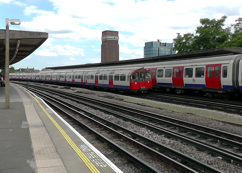
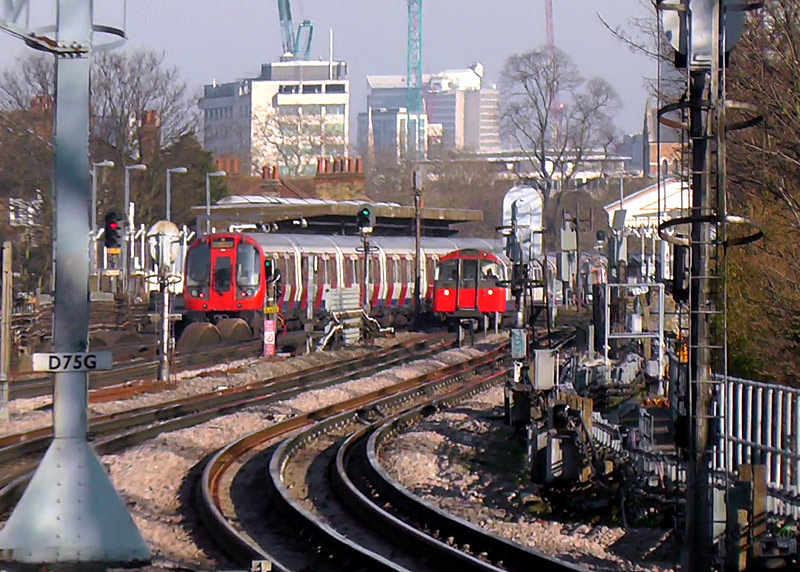
used by District line trains - have platform faces.
Piccadilly line trains travel through non-stop,
sometimes (as seen here) passing a District line train.
The four track section of railway can be seen on some of my YouTube videos which date from the early 1990's.
Chiswick Park station
http://www.youtube.com/watch?v=z2CuicFD63I
Stamford Brook Station
http://www.youtube.com/watch?v=nMG2O9I5XSs
Between Acton Town and Ealing Common stations the line passes a large District line depot.
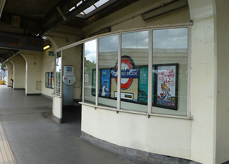
Sheltered waiting area on the Art Deco eastbound platform
at Stamford Brook station.
Ealing Common station only has two tracks which are used by both Piccadilly and District line trains. Because of the different floor heights above the tracks passengers boarding trains need to step up into the larger trains, and down into the smaller trains. Sometimes you see ‘one of each’ train in the station at the same time - probably the rush hours are best as the trains are more frequent. I normally stand on the platform used by trains going to Ealing Broadway / Rayners Lane - Uxbridge. I prefer the far end (London) end of this platform as it is away from the station exit and opposite a junction where trains can go into the depot. Because of this junction it is often possible to see a some ‘sparking’ of the electric power collection shoe as trains travelling towards Acton Town leave the station.
 |
|
 |
|
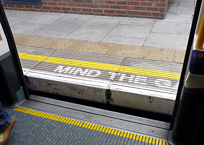 |
| District Line: larger profile subsurface train - a step up from the platform into the train. |
|
Piccadilly Line: smaller profile tube train - a step down from the platform into the train - as is also seen in the view looking out through the open doorway. |
||
Close observation will show that both types of train can be seen in both platform views. Filmed at Ealing Common station.
Trains at Ealing Common station feature in one of my YouTube videos.
The film is called Little And Large At Ealing Common.
It can be seen by clicking either the projector icon or this link:-
http://www.youtube.com/watch?v=Dp53UlAFOWk .
District line / North London (Mildmay) line [London Overground]
Located in south-west London the line between Gunnersbury and Richmond is used by District line trains to Upminster and London Overground (North London / Mildmay line) trains to Stratford.
Over the years I have sometimes been able to photograph one of each type of train ‘side by side’ at Kew Gardens and Gunnersbury stations, especially after 16:00 (4pm) in the evening rush hour when the District line trains are more frequent.
There is a road bridge at the southern end of Kew Gardens station which offers excellent views of passing trains. Just outside the station there is a public house which is popular with the locals.
At one time this pub had a direct entrance to one of the station platforms, however now that the station has electronic gates the doorway has been closed.
An unusual feature of this station is that the two platforms have separate sets of ticket gates - and both the pedestrian underpass and foot bridge are now 'outside' of the fares paid area. This means that passengers wishing to reach the 'other' platform must effectively leave the station and then re-enter it.
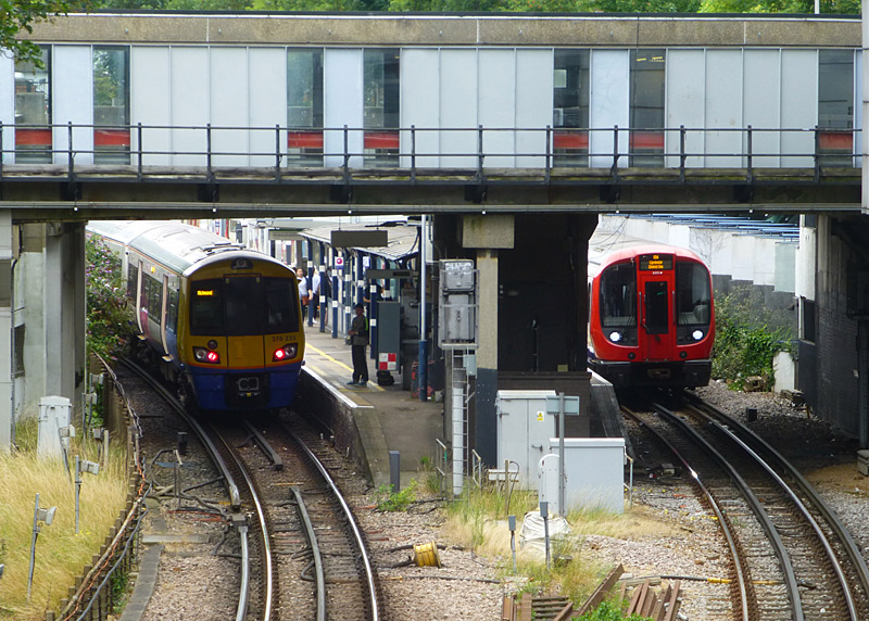
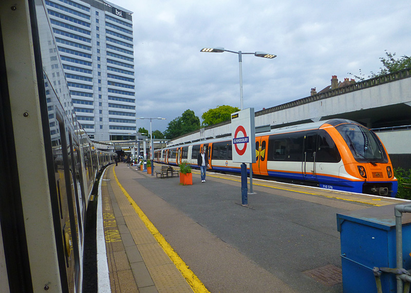
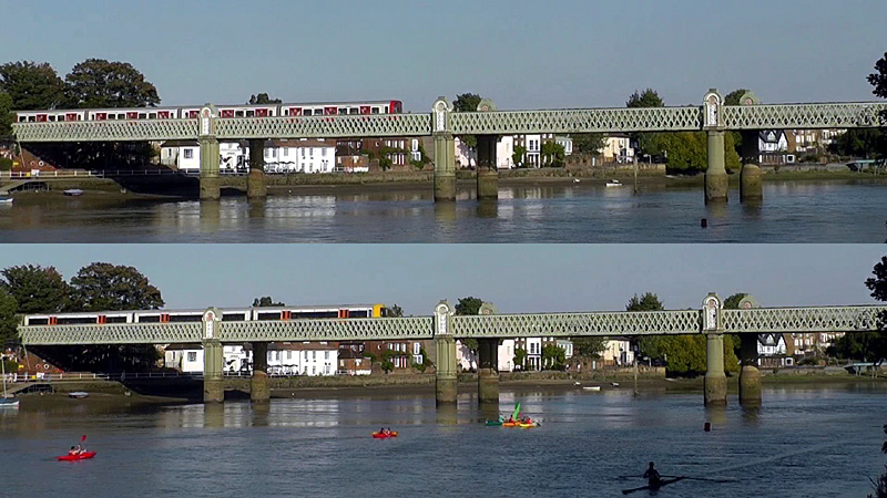
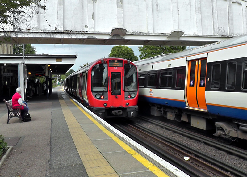
trains pass at Kew Gardens station.
Richmond is a fair-sized station controlled by South Western Railway. The platform circulating area includes a coffee shop with tables where you can watch trains come and go. The glass skylight affords
weather protection in inclement weather.
Platforms 1 and 2 are through platforms for South Western Railway services - typically nowadays just electric multiple units of various types.
Platforms
3 to 7 are terminating platforms, London Overground North London / Mildmay line trains can call at any of these platforms but the lack of fourth (electric power supply) rail prevents District line trains from
going to platform 3. When they were brand new S stock trains on the District line were prohibited from calling at platform 7 but this might have only been a temporary ban.
Richmond station is also included in the Busier Suburban Stations section about suburban stations in zones 3 or 4 where there is a wide variety of trains to see.
Other Information
Train Directions
On the London Underground the direction of the trains are generally described with reference to the cardinal point to which they are travelling, which means northbound / southbound / eastbound / westbound. By way of contrast, on the main line railways (National Rail) trains travel 'up' towards London (the central London terminus station where they end their journeys) and 'down' (away from London).
Also worth visiting / information resources
The London Transport Museum which is right in the heart of Central London in the historic Covent Garden area and near the Underground station of the same name. Also within easy walking distance are Leicester Square and Charing Cross stations (it is advised to consult a streetmap for exact walking routes).
The London Transport Museum features a wide range of mostly historic transports including horse buses, trams, trolleybuses, motor / omnibuses, steam engines, electric locomotives, early tube trains and much, much, more. In addition there is a large well stocked shop which sells books, magazines, DVD's, souvenirs, model railways and a coffee shop.
It is possible to enter some of the old trams, buses and trains!
Entry to the souvenir shop is free. Whilst the museum does charge an entry fee the tickets are valid for a year, so return visits are free, although a proof of identity is needed for return visits.
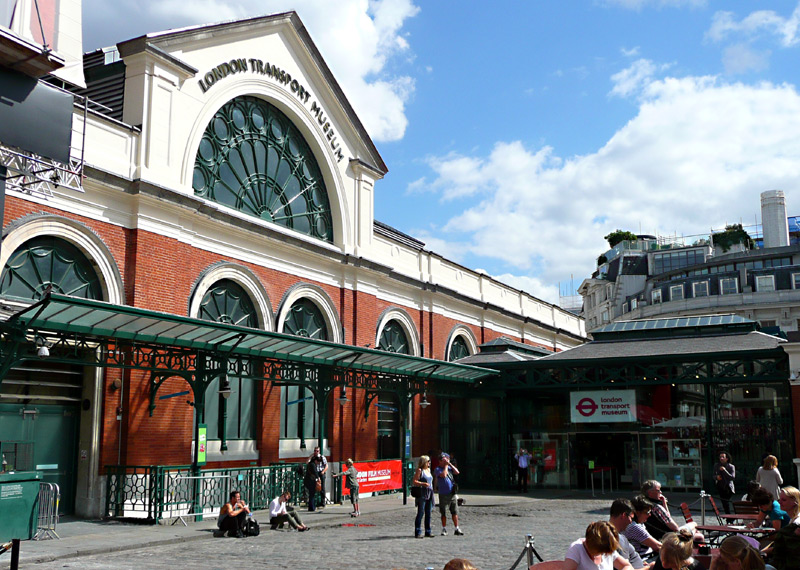
The London Transport Museum and retail shop is very easy
to find in the historic leisure-themed Covent Garden area.
Montage image information:
1) A diagram inside a Metropolitan line train showing the stations served north of Harrow-On-The-Hill.
2) London Tramways Company double deck horse tram, No. 284, built 1882 by Stephenson & Co, New York, USA
3) Inside City & South London Railway 3rd Class trailer No.10. Built in 1890 these passenger coaches were hauled by electric locomotives,
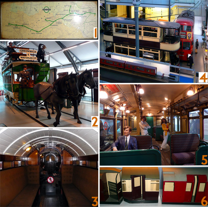
A montage of views showing just some of the many attractions
at the London Transport Museum in Covent Garden.
Clicking this link Digi2/LTMuseum-Multi-xl.jpg will open
a very large version of this image in a new window.
4) London Transport Leyland K2 type trolleybus, No. 1253, registration No. EXV 253, built 1939.
West Ham Corporation tramways No.102, a four-wheeled Edwardian era tramcar, built 1910
A model of a 1930s flare-sided subsurface Underground train (O / P / Q38 Stock) - this is a working exhibit that travels to and fro along a short section of track.
5) Inside District Line G Stock Driving Motor No.4248, built in 1923 by the Gloucester Carriage & Wagon Co. - seen here after conversion (in 1938) to become part of the Q Stock (Q23) fleet.
6) Three models showing the evolution of passenger doors on London Transport's small profile tube trains - open vestibule with lattice gates / hand operated inward opening door / powered sliding doors.
Online London Railways Maps
Transport enthusiasts may find this webpage which leads to some online maps that show most railways within the London area to be of interest.
Being geographic makes it easy to work out where different lines pass close to each other, although if intending to walk between suburban stations it is advised to also consult a normal streetmap (online or paper) to decide upon the best walking route. Underground lines are shown in their correct line colours. Also shown are non-passenger lines and even some closed lines.
This map is free and comes in two versions - a simple graphic file or a high quality portable document 'pdf' file. With the 'pdf' file it is possible to zoom-in and (in many instances) see the lines in great detail - including full track diagrams at junctions.
The link leads to the London page of a much larger website that looks at many urban transport systems:
http://cartometro.com/metro-tram-london/
Alternatively, there are other good quality maps that can be bought - many people find that paper documents are more convenient when 'out and about'.
Links Which May be Of Interest
These links all open in new windows
http://www.nationalrail.co.uk/ National Rail Enquiries (NRE) - an impartial website for planning rail travel. Note however that individual main line railway train operating companies (TOC) sometimes have cheap
'special offer' tickets which are only promoted on their own websites.
http://www.nationalrail.co.uk/tocs_maps/tocs/ An interactive map showing where each TOC operates and includes links to further information about each of the TOCS. These latter pages include
direct links to the TOC's own websites.
http://www.tfl.gov.uk/ The official Transport For London travel advice website. This also includes a journey planner which sometimes offers different travel options (and different fares!) than the NRE site.
http://tubephotos.dannycox.me.uk/stationsbyline.html This website has a page of information for just about every Underground and DLR station.
http://www.davros.org/rail/culg/ Clive's UndergrounD Line Guides also explores the London Underground, and includes much historical information as well.
http://www.abandonedstations.org.uk/ This web site is about closed railway routes and closed stations throughout London, including the Underground, the main line railways and the DLR.
http://150greatthingsabouttheunderground.com/ Conceived in 2013, which was 150 years since the first section of the Metropolitan Line opened, this blog celebrates 150 great things about the
London Underground.
http://londonstransport.proboards.com/thread/454/general-transport-related-links A thread at the londonstransport.proboards discussion forum which contains many links to other
websites of interest. Most of these are about railways in London.
http://londonstransport.proboards.com/thread/50/various-transport-related-links A thread at the londonstransport.proboards discussion forum which contains many links to blogs
with a frequent London transport content, resources for train and bus operations, more...
The following discussion / chat forums may also be of interest; note that whilst anyone can read messages you must create an account if you wish to join in any of the discussions.
Railforums This chat / discussion forum looks at all of Britain's railways, and more...
District Dave This chat / discussion forum that was created by a District Line train driver and has become a true treasure trove of information about London's Underground.
londonstransport This chat / discussion forum only started in 2013 but is slowly building up a store of interesting information.
Bus Forum Although primarily about London's buses there are sections for London's many railways.
| London Underground Small Profile ‘Tube’ Trains |
| Bakerloo Line |
| Central Line |
| Jubilee Line |
| Northern Line |
| Piccadilly Line |
| Victoria Line |
| Waterloo & City Line |
|
| London Underground Large Profile ‘Subsurface’ Trains |
| Circle Line |
| District Line |
| East London Line |
| Hammersmith & City Line |
| Metropolitan Line |
|
| National Rail ‘Tube’ Trains |
| Northern City Line |
| Elizabeth Line (Crossrail Line 1) |
| Crossrail Line 2 |
|
| Other National Rail Trains |
| London Overground |
|
| Local Light Railways |
| Docklands Light Railway |
| Croydon / London Tramlink |
|
| Main National Rail Stations Fast Regional Services Overhead Wire & 3rd Rail Trains |
| Busier Suburban Stations In Zones 1-4 With A Wider Variety Of Trains To See |
| Station Architecture & Features |
| Shared Service Routes |
| Further Information Resources To Visit In Person Or Online |
|
| Multi Page Version Of This Guide |
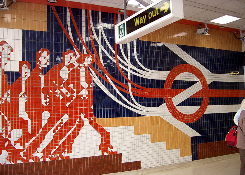
The background image for these pages: a tiled mural at Kings Cross station (Pentonville Road entrance) which celebrates the merging of London Transport and British Railways services when the north-south Thameslink service was introduced. Note that this station entrance is closed at weekends.


